The best walks and hikes around Lake del Narèt
4.7
(968)
6,552
hikers
130
hikes
Hiking around Lake del Narèt reveals a high-alpine landscape in Vallemaggia, Ticino, Switzerland, characterized by majestic mountains and a unique lake environment. The region features the artificial Lake Naret, surrounded by numerous natural alpine lakes such as Lago Scuro, Lago di Val Sabbia, and Lago Cristallina. The terrain transitions from sparse alpine areas to rocky mountain slopes and alpine pastures.
Best hiking trails around Lake del Narèt
- The most popular hiking route is Naret Pass – Lake Sfundau loop from…
Last updated: October 1, 2026
5.0
(5)
34
hikers
14.8km
06:37
800m
800m
Hard hike. Very good fitness required. Sure-footedness, sturdy shoes and alpine experience required.
4.5
(4)
13
hikers
Hard hike. Great for any fitness level. Sure-footedness, sturdy shoes and alpine experience required.

4.7
(3)
11
hikers
Hard hike. Good fitness required. Sure-footedness, sturdy shoes and alpine experience required.
13
hikers
11.8km
05:18
750m
750m
Hard hike. Very good fitness required. Sure-footedness, sturdy shoes and alpine experience required.
5.0
(5)
31
hikers
13.1km
06:04
740m
740m
Hard hike. Very good fitness required. Sure-footedness, sturdy shoes and alpine experience required.
Get access to more routes and recommendations from other explorers.
Already have an account?
Our route recommendations are based on thousands of hikes, rides, and runs completed by other people on komoot.
Start today with a free account
Your next adventure awaits.

Tips from the Community


It's steep and you have to be careful, but it's completely doable.
0
0

As others have already said: It's tough, steep, and beautiful here! It's best to split the climb into shorter stages, so the 2,000 meters of elevation gain over 30 kilometers from Bignasco aren't quite as terrifyingly daunting. From Bignasco to Prato Sornico, it's rarely very steep. There are a few flat sections where you can pick up a decent pace. After Mogno (visit the church in Botta) and up to Fusio, things really get going for the first time. Many hairpin bends soften the incredibly nasty ramps, but your legs will still be tested here! Up to the Sambucco reservoir, it becomes truly idyllic, green, and quiet. There are a few tough climbs, but even here, the difficulty is still manageable. There's a fountain at the summer restaurant: fill up your bidons again, because there are only streams and gullies here. After the relaxing flat section by the lake, the final and most strenuous part of the climb follows. The scenery is stunning, but it's steep all the way to the top! Wow!
1
0

The Capanna Cristallina is an alpine refuge located in the Canton of Ticino, in the Lepontine Alps, at almost 2,600 meters above sea level. It is open all year round and has beds, showers, refreshments and electricity. It can be reached from various locations, including Ossasco, Robiei and the Narèt dams. It is a starting point for ascents and traverses, especially for experienced runners, given the terrain and altitude conditions.
1
1
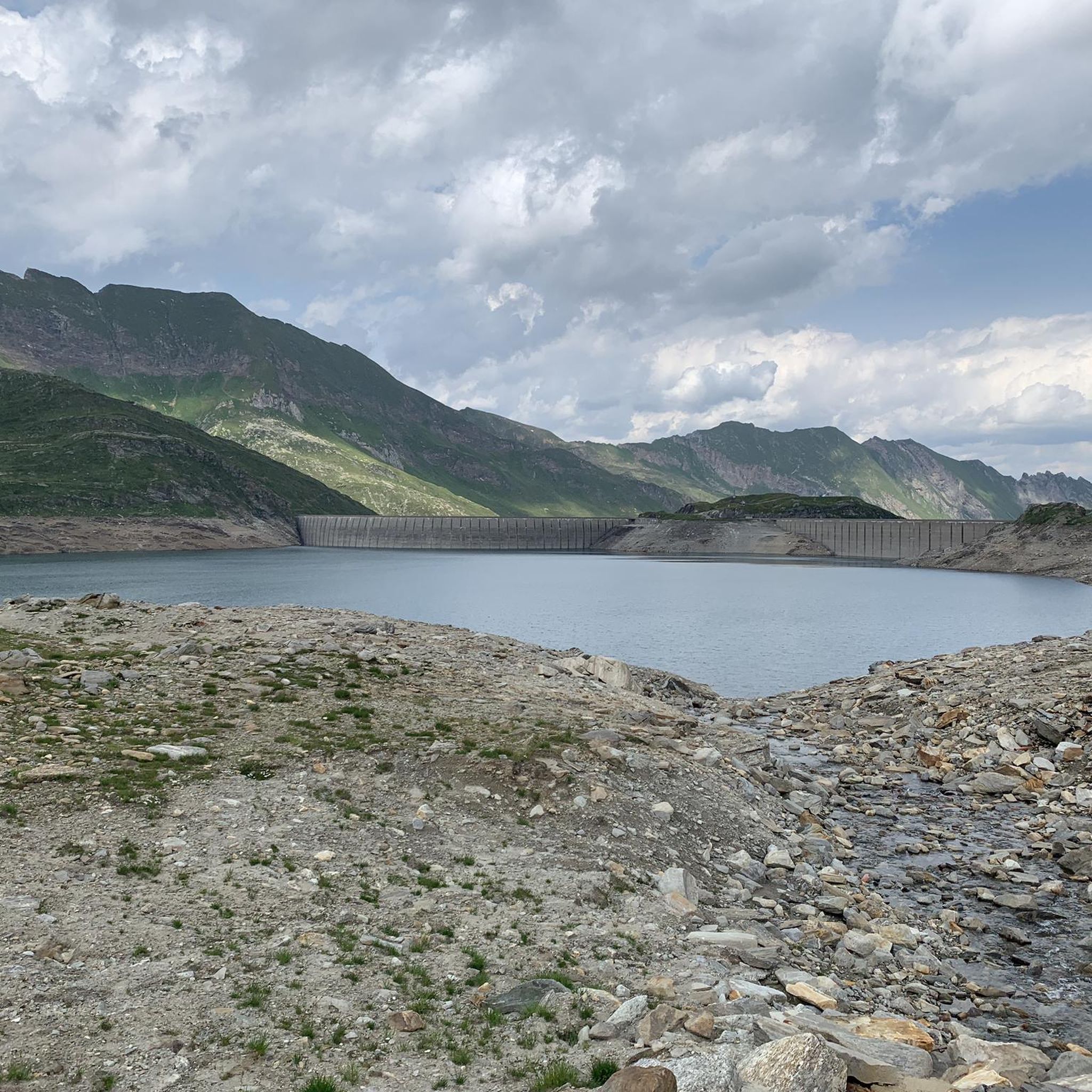
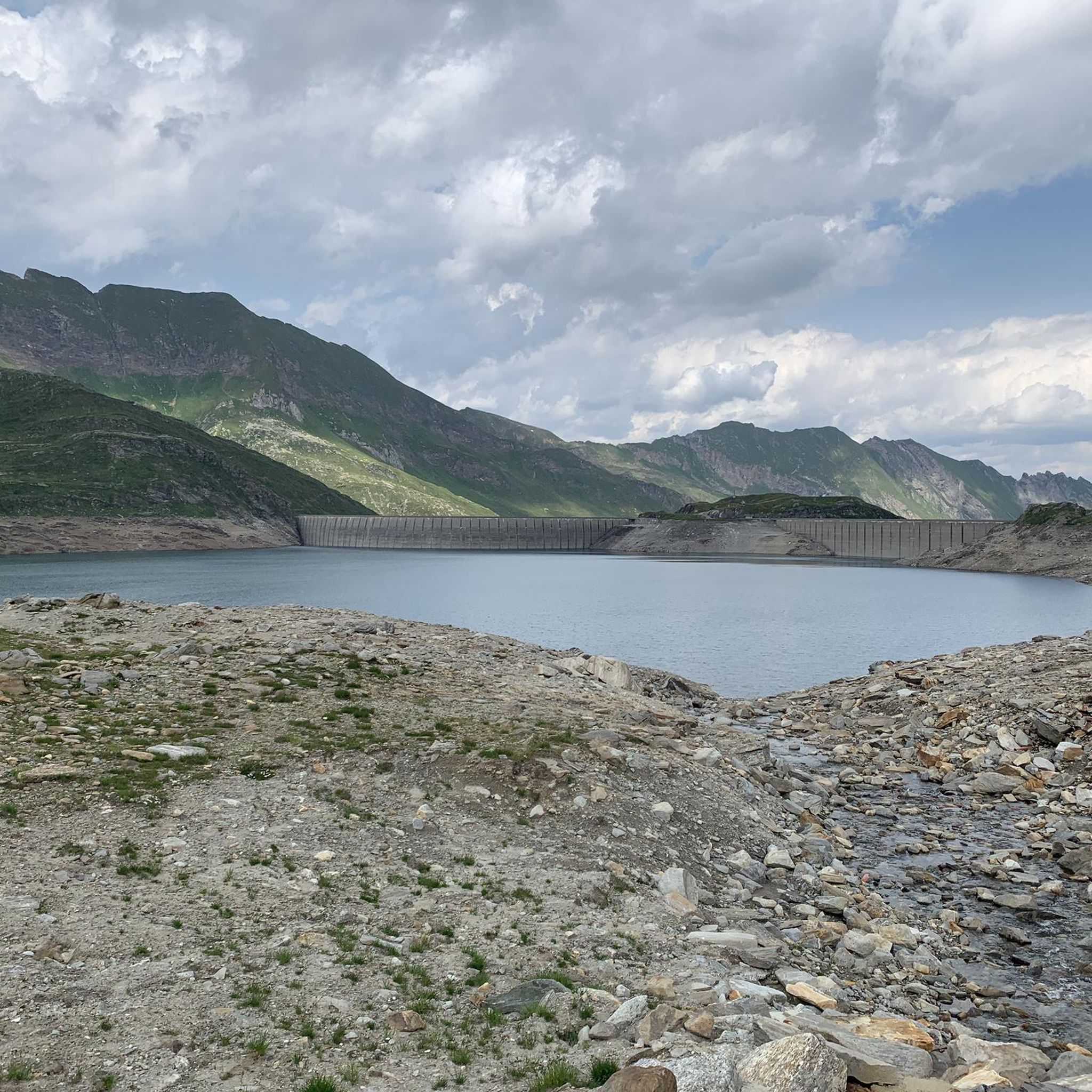
Lake Naret is an alpine lake in the Canton of Ticino. It is located at an altitude of 2310 meters above sea level and is formed by the Naret dam, which uses the waters of the Maggia river to produce electricity. It is surrounded by a spectacular landscape, with mountains, forests and other lakes.
1
0

Artificial lake at 2310 meters above sea level which marks the end of the Val Maggia. The climb to reach it is challenging.
2
0

Lake Naret is located at an altitude of 2,310 meters. Naret is an artificial lake and the road leading to the lake is only open in the summer months. The nearest municipality is Lavizzara and is about 20 kilometers away.
0
0
Frequently Asked Questions
What types of hiking trails can I find around Lake del Narèt?
The Lake del Narèt region offers a diverse range of hiking trails, from shorter loops to more challenging high-alpine treks. You'll find options suitable for various experience levels, including easy, moderate, and difficult routes. In total, there are over 130 hiking routes in the area.
What are the notable natural features and landscapes I can expect to see?
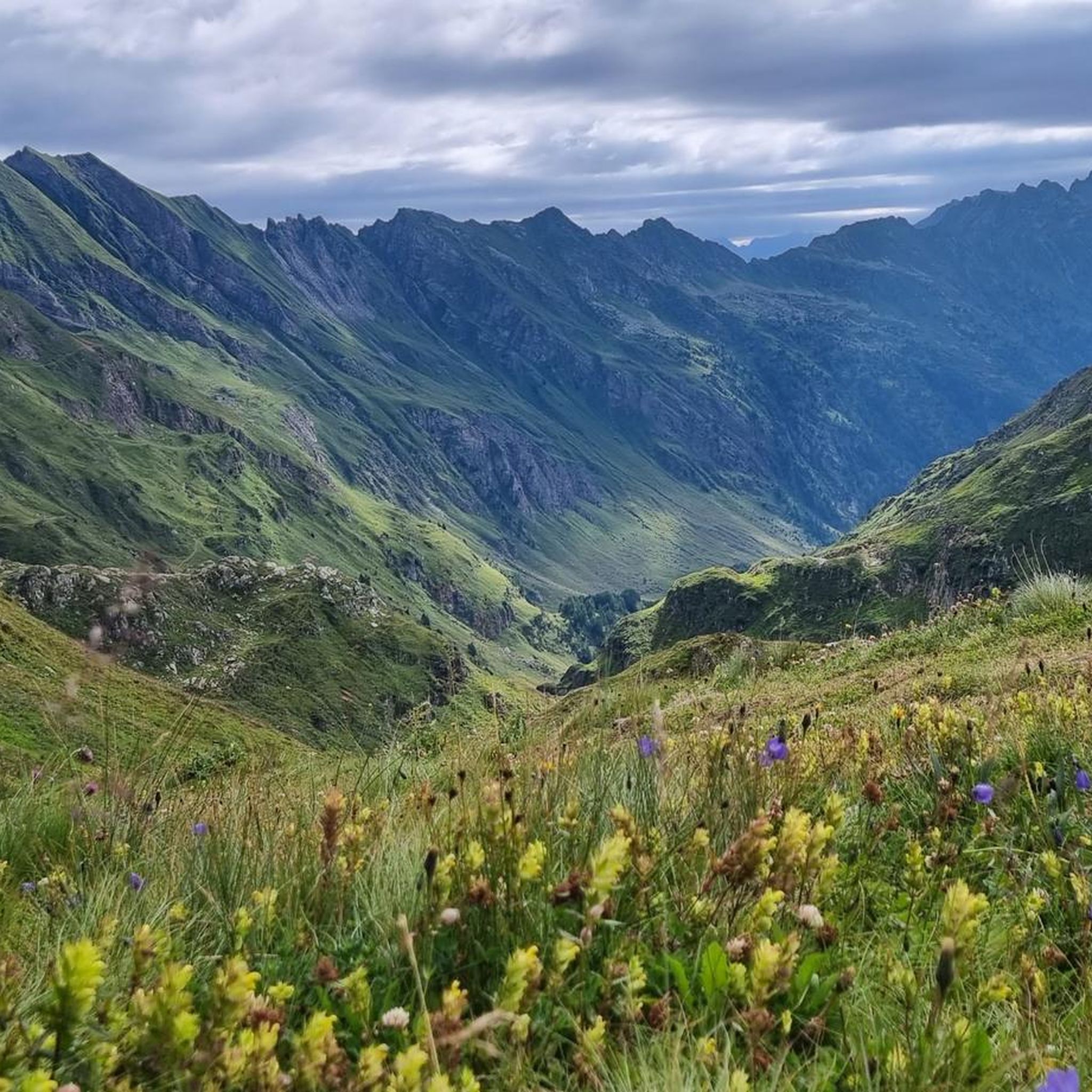
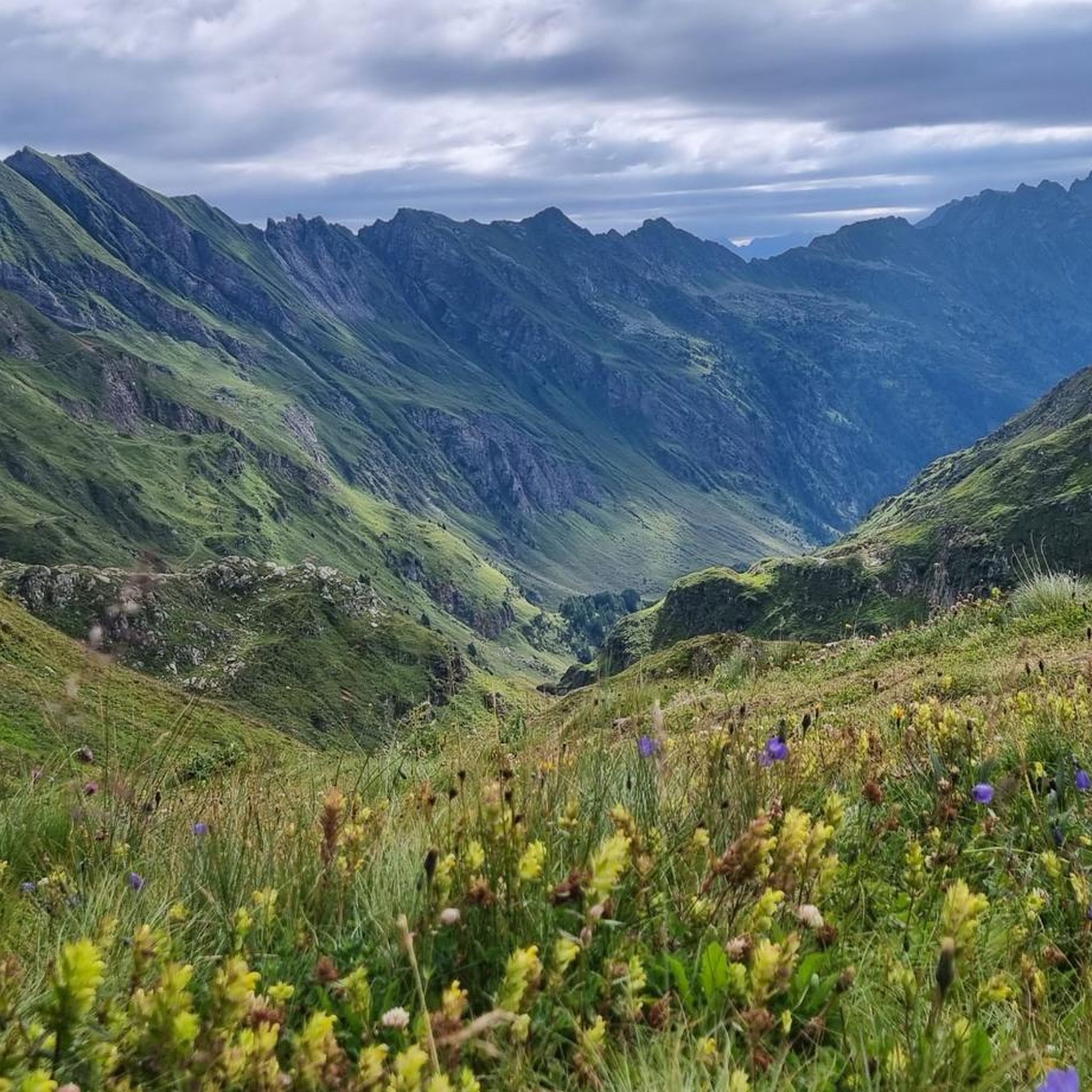
Hikers around Lake del Narèt will experience majestic mountains and a unique high-altitude lake landscape. The area is characterized by the artificial Lake Naret, surrounded by numerous crystal-clear alpine lakes such as Lago Scuro, Lago di Val Sabbia, Lago Cristallina, and the cluster of Laiòzz. The terrain transitions from sparse alpine pastures to rocky mountain slopes.
Are there any circular hiking routes around Lake del Narèt?
Yes, there are several circular routes. A popular option is the Naret Pass – Lake Sfundau loop from Il Madone, which is a difficult 9.2-mile (14.8 km) trail offering expansive high-alpine views. Another is the View of the Lago del Narèt Dam – Lago del Narèt loop from Il Madone, a shorter but difficult 2.8-mile (4.5 km) path providing close-up views of the dam and lake.
What is the best time of year to hike around Lake del Narèt?
The best time for hiking around Lake del Narèt is generally during the summer months when the mountain roads are accessible and trails are free of snow. Even in summer, the region can be cold and windy, so it's essential to check weather conditions and bring appropriate warm clothing.
Are there any challenging multi-day treks or mountain huts in the area?
For experienced hikers, more demanding routes are available. The Via Alta Vallemaggia, Stage 7N: Fusio - Capanna Cristallina, is a difficult high-alpine stage. The Capanna Cristallina is a notable mountain hut that can be reached from Lake Naret, serving as a stopover or destination for longer treks.
What are the options for parking when visiting Lake del Narèt?
The journey to Lake Naret is accessible by car during the summer months via a narrow, winding mountain road from Fusio. Parking is typically available near the Naret Dam, which often serves as a starting point for various excursions.
Can I bring my dog on the hiking trails around Lake del Narèt?
While specific regulations for dogs vary by trail, generally, dogs are welcome on most hiking trails in the Lake del Narèt region. It's always recommended to keep dogs on a leash, especially in high-alpine areas where wildlife like chamois and ibex might be present, and to follow local signage.
What do other hikers say about the trails in Lake del Narèt?
The hiking routes in Lake del Narèt are highly rated by the komoot community, with an average score of 4.7 stars from over 700 reviews. Hikers often praise the stunning high-alpine landscapes, the crystal-clear alpine lakes, and the diverse terrain that caters to various skill levels.
Are there any easy or family-friendly walks suitable for beginners or children?
While many routes are challenging, shorter loops are available. For example, a walk around Lake Naret and to Lago Scuro, starting from Corte dei Laghetti, can be completed in about 1.5 hours. These shorter, less strenuous options are generally more suitable for families or those seeking an easier experience.
What landmarks or points of interest can I explore near Lake del Narèt?
The Naret Dam itself, an imposing structure built in 1970 for hydroelectric power, is a significant feature and a common starting point. Beyond the dam, the numerous alpine lakes like Lago Scuro, Lago di Val Sabbia, and Lago Cristallina are key attractions. Hikers can also traverse various passes, including Passo del Naret and Passo del Sasso Nero, offering panoramic views.
Is public transport available to reach Lake del Narèt?
The primary access to Lake del Narèt is by car, especially given the narrow, winding mountain road from Fusio. Direct public transport options to the high-alpine area of Lake Naret are limited. It's advisable to plan for private vehicle access during the summer months.
Most popular routes around Lake del Narèt

Get inspired with the komoot mobile app


Explore more
Browse the best Hikes in other regions.
