The best running trails around Glattalpsee
4.6
(9)
229
runners
23
runs
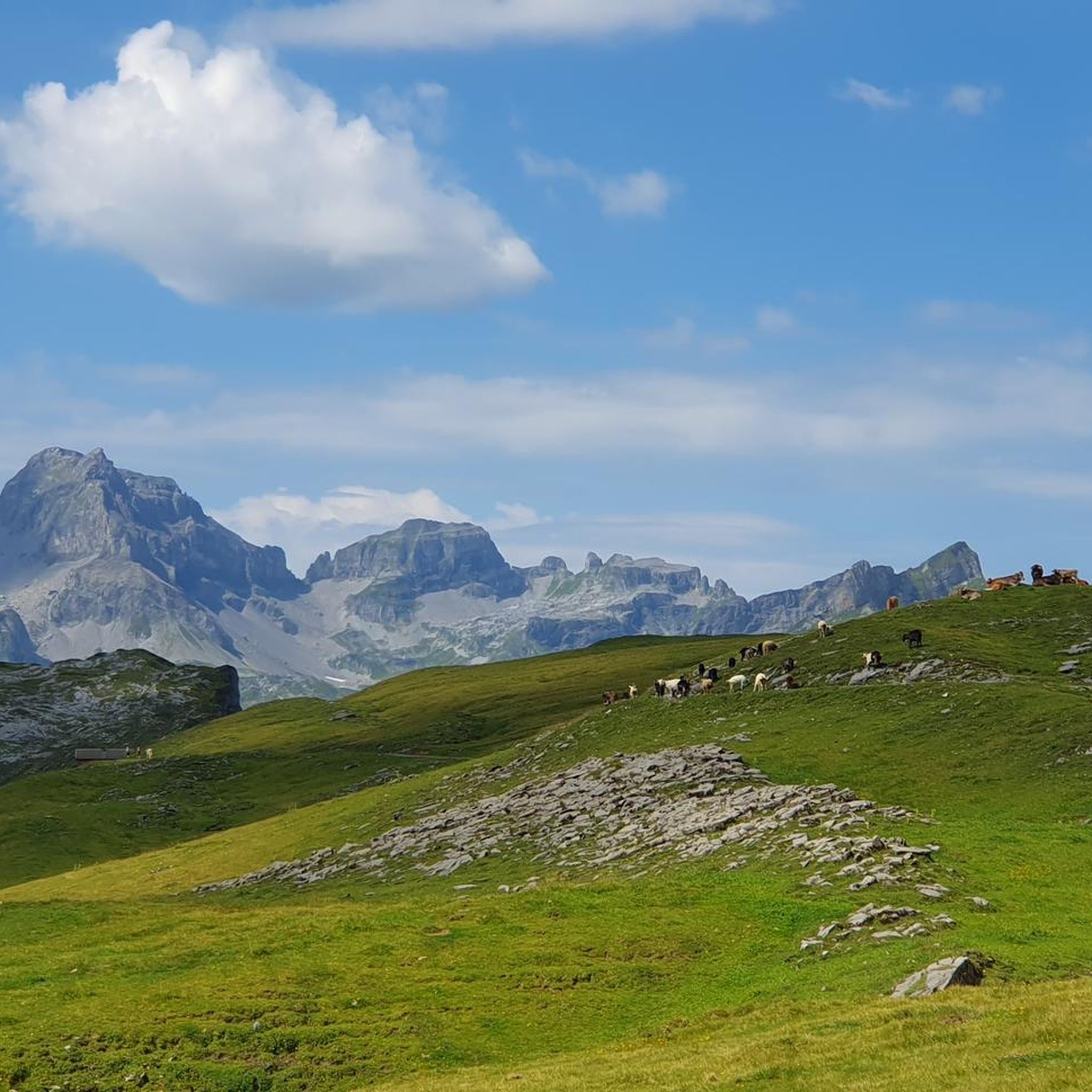
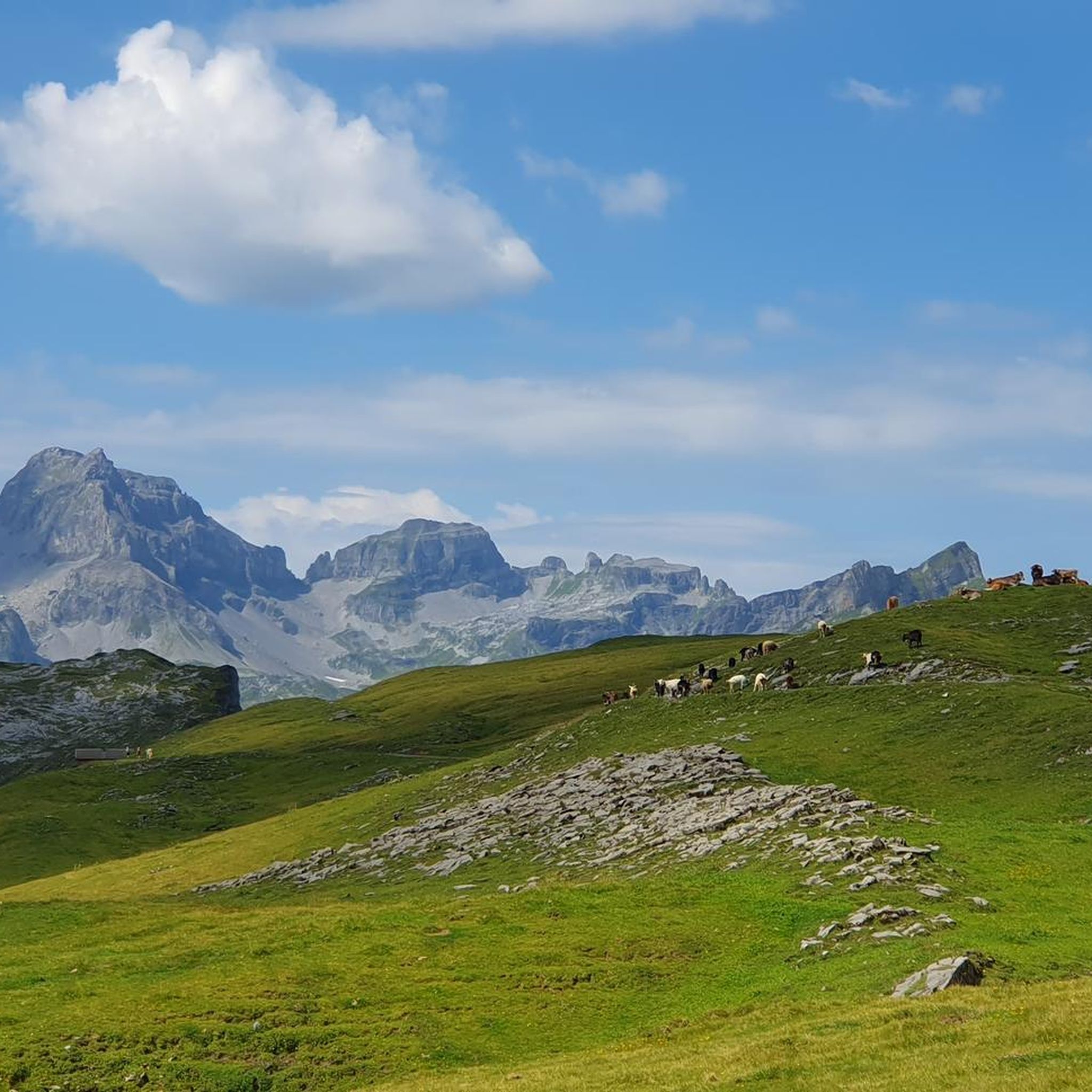
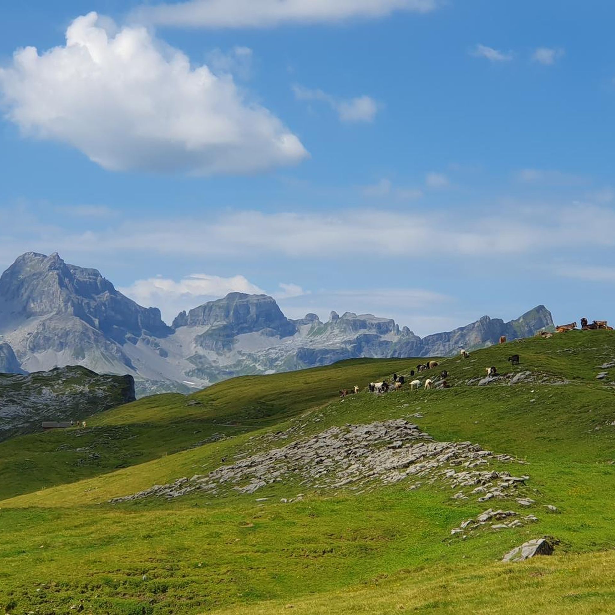
Jogging around Glattalpsee offers routes through a unique alpine environment. The region is situated on the Glattalp plateau, characterized by its extensive karst landscape, a mix of grassy meadows, and white karst terrain. Runners encounter panoramic views of the surrounding alpine area and the majestic Alps, with varied terrain including steep cliffs and glacial bowls. The central feature is Glattalpsee itself, with trails often following its shores.
Best jogging routes around Glattalpsee
- The most popular jogging route is Fisetenpass loop…
Last updated: July 7, 2026
7
runners
12.4km
02:00
680m
680m
Hard run. Very good fitness required. Mostly paved surfaces. Suitable for all skill levels.
3
runners
12.8km
02:12
780m
780m
Hard run. Very good fitness required. Sure-footedness, sturdy shoes and alpine experience required.

Sign up for free
11
runners
22.7km
04:10
1,590m
1,590m
Hard run. Very good fitness required. Sure-footedness, sturdy shoes and alpine experience required.
5.0
(1)
5
runners
7.18km
00:57
350m
350m
Hard run. Very good fitness required. Mostly paved surfaces. Suitable for all skill levels.
5.0
(1)
4
runners
8.19km
01:10
380m
380m
Hard run. Very good fitness required. Sure-footedness, sturdy shoes and alpine experience required.
Get access to more routes and recommendations from other explorers.
Sign up for free
Already have an account?
Our route recommendations are based on thousands of hikes, rides, and runs completed by other people on komoot.
Start today with a free account
Your next adventure awaits.
Login or Signup
Tips from the Community


Great view, several benches to sit and enjoy. I would definitely climb through the forest myself instead of taking the gondola – it's so much more beautiful up there...and the path through the forest is really beautiful.
1
0


Between the trees the water flows rapidly into the depths.
1
0

https://youtu.be/WnaRm4-utko Glattalp Due to the special location in a hollow without air drainage above ground, a cold air lake can form here. In winter, temperatures below minus 30 degrees are the norm. On February 7, 1991, −52.5 °C was measured on the Glattalp.
1
0

Ideal for refreshment in high temperatures and an alternative to an expensive shower...
1
0

Fisetenpass 2023 m The Fisetenpass is a mountain pass in the municipality of Spiringen (Urnerboden exclave) in the canton of Uri. Its pass is at an altitude of 2036 meters above sea level between the Gemsfairenstock (2971m) in the southwest and the Fisetengrat or the Chamerstock (2123m) in the east. The easiest way to reach the pass is to take the mountain cable car from Urnerboden to the Fisetengrat mountain station and from there in a few minutes to the top of the pass. You hike over the pass from the Urnerboden to the Fiseten area and on to the Claridenhütte and Tierfehd. The specified hiking time from the Fisetenpass to the Claridenhütte is 2h40min, down to Linthal 4h55min and also down the valley to the Urnerboden 3h10min. In a four-hour mountain hike from the top of the pass you can also reach the Klausen Pass (Clariden high-altitude trail). Text / source: Fuorcla.ch https://fuorcla.ch/fisetenpass/
14
0

Simply super nice up there, starting point for the SAC huts Planura 2947 m above sea level, Clarieden hut 2453 m above sea level and the Fridolinshütte at 2111 m above sea level, which we renovated with the construction company Rüesch AG. At that time there was still dear Gabi Aschwanden Hütten Wärtin, who cooked and cared for us for almost 4 months at a time. The beautiful hut is the starting point for a tour up to the most beautiful Glarus mountain, the Tödi.
1
0
Frequently Asked Questions
What is the general difficulty level of running routes around Glattalpsee?
The Glattalpsee area offers a range of running routes. While some paths, like the primary loop around the lake, are considered easy to moderate with minimal elevation gain, many of the routes listed in this guide are more challenging. Out of 24 total routes, 21 are rated as difficult, with significant elevation changes and alpine terrain. There are 3 moderate routes and no easy routes specifically listed in the guide, indicating a focus on more demanding trail running experiences.
What natural features or landmarks can I expect to see while running around Glattalpsee?
Runners in the Glattalpsee region are treated to stunning panoramic alpine views and the unique Glattalp plateau, known for its extensive karst landscape. The beautiful Glattalpsee itself is a central feature, with many trails following its shores. You might also encounter varied terrain from lush alpine meadows to steep cliffs and glacial bowls. Keep an eye out for local wildlife like marmots and free-roaming goats. For a specific natural highlight, consider the View of the Mülibach Waterfall loop from Sahli Seilbahnstation.
How can I access the running trails around Glattalpsee, and is parking available?
Glattalpsee is primarily accessible by a small cable car from Sahli, which takes you directly to the plateau, significantly reducing initial ascent. From the mountain station, it's a short walk to the lake and its trails. While the guide doesn't specify parking details for the cable car station, it's generally expected that such access points have parking facilities. Routes often start from locations like Urnerboden or Sahli Seilbahnstation.
When is the best time of year for running around Glattalpsee?
The best time for running around Glattalpsee is typically during the warmer months, from late spring to early autumn, when the alpine trails are free of snow and the cable car is operational. The region's unique karst landscape and alpine meadows are most enjoyable during this period. Always check local conditions and weather forecasts, especially for higher-altitude routes, as conditions can change rapidly in the mountains.
Are the running routes around Glattalpsee suitable for families or dogs?
The primary loop around Glattalpsee, approximately 7 km long with minimal elevation gain, is generally considered easy to moderate and could be suitable for active families. However, many of the routes listed in this guide are rated as difficult, involving significant elevation and challenging terrain, which might not be ideal for all families or dogs. For dogs, always ensure they are well-behaved, on a leash where required, and capable of handling the terrain. Check local regulations regarding dogs on trails and cable cars.
Are there places to eat or stay near the running trails?
Yes, for breaks or refreshments, the Glattalphütte (a mountain hut) and Restaurant Glattalp are conveniently located near the cable car station and along some of the trails. These provide excellent spots to refuel and enjoy the alpine atmosphere. While the guide doesn't list specific accommodations, options are generally available in the surrounding valleys or nearby villages for those looking to extend their stay.
Are there circular running routes available in the Glattalpsee area?
Yes, circular routes are a prominent feature of the running experience around Glattalpsee. The most well-known is the approximately 7 km loop directly around Glattalpsee itself. Additionally, several routes in this guide are circular, such as the challenging Fisetenpass loop from Urnerboden and the Viewpoint in Schwyz Mountains loop from Sahli Seilbahnstation, allowing you to start and finish at the same point.
Do I need any permits to run in the Glattalpsee area?
The guide does not mention any specific permits required for general running or hiking in the Glattalpsee area. However, it's always advisable to respect local regulations, especially concerning nature protection areas or private land. Access to the Glattalp plateau is via a cable car, which requires a ticket.
What do other runners enjoy most about jogging in Glattalpsee?
The running routes in Glattalpsee are highly rated by the komoot community, with an average score of 4.5 stars from 7 reviews. Runners frequently praise the stunning alpine views, the unique karst formations of the Glattalp plateau, and the varied terrain that offers both serene lakeside paths and more challenging mountain ascents. The tranquility and peaceful atmosphere, away from crowds, are also highly valued.
Are there any routes that offer ridge running or expansive mountain views?
Absolutely. The Glattalpsee region is known for its dramatic mountain scenery. For an exhilarating experience with expansive views, consider the Urnerboden - Fisetengrat – Ridge hike to Chamerstock loop from Urnerboden. This difficult route specifically offers ridge hiking with continuous vistas of the surrounding Alps and 'spiky peaks'.
How many running routes are available in the Glattalpsee region?
There are over 20 running routes available in the Glattalpsee region, with a total of 24 tours listed in this guide. These routes offer a variety of experiences, from moderate paths to challenging alpine ascents, catering to different fitness levels and preferences.
What is the longest running route mentioned in this guide?
The longest running route detailed in this guide is the Ridge hike to Chamerstock – Griesslisee loop from Klausenpass. This challenging trail covers approximately 24 kilometers (14.9 miles) and involves significant elevation gain, making it suitable for experienced trail runners.
Most popular routes around Glattalpsee

Get inspired with the komoot mobile app


Explore more
Browse the best Running Trails & Routes in other regions.
