The best walks and hikes around Glattalpsee
4.7
(1332)
9,325
hikers
150
hikes
Hiking trails around Glattalpsee are situated in a high alpine valley, characterized by its serene lake and surrounding mountain peaks. The terrain primarily consists of alpine meadows, rocky paths, and areas with significant elevation changes. This region offers a diverse landscape for hikers, ranging from gentle lakeside paths to more demanding mountain ascents.
Best hiking trails around Glattalpsee
- The most popular hiking route is Glattalpsee – Glattalpsee Lakeside Trail loop from Glattalpsee, a 2.9 miles (4.7 km) trail that takes 1 hour 15 minutes to complete, offering continuous views of the lake.
- Another top favourite among local hikers is Glattalpsee – View of Glattalpsee loop from Berggasthaus Glattalp, a difficult 7.2 miles (11.6 km) path. This route provides expansive panoramic views of the Glattalpsee area from higher elevations.
- Local hikers also love the Charetalphüttli – Glattalp Hut loop from Berggasthaus Glattalp, a 10.4 miles (16.8 km) trail leading through alpine pastures and past mountain huts, often completed in about 6 hours 57 minutes.
- Hiking around Glattalpsee is defined by its clear mountain lake, alpine meadows, and challenging mountain paths. The network offers options for various ability levels, from moderate lakeside walks to difficult multi-hour ascents.
- The routes in Glattalpsee are highly rated by the komoot community with an average score of 4.7 stars from over 1,200 reviews. More than 8,900 hikers have used komoot to explore Glattalpsee's varied terrain.
Last updated: July 7, 2026
5.0
(6)
26
hikers
4.66km
01:16
40m
40m
Moderate hike. Great for any fitness level. Mostly accessible paths. Sure-footedness required.
4.6
(5)
85
hikers
11.6km
05:03
730m
730m
Hard hike. Very good fitness required. Mostly accessible paths. Sure-footedness required.

Sign up for free
4.4
(7)
39
hikers
16.8km
06:57
790m
790m
Hard hike. Very good fitness required. Sure-footedness, sturdy shoes and alpine experience required.
4.5
(6)
24
hikers
15.9km
08:58
1,560m
1,560m
Hard hike. Very good fitness required. Sure-footedness, sturdy shoes and alpine experience required.
4.8
(36)
227
hikers
6.85km
01:52
80m
80m
Moderate hike. Great for any fitness level. Mostly accessible paths. Sure-footedness required.
Get access to more routes and recommendations from other explorers.
Sign up for free
Already have an account?
Our route recommendations are based on thousands of hikes, rides, and runs completed by other people on komoot.
Start today with a free account
Your next adventure awaits.
Login or Signup
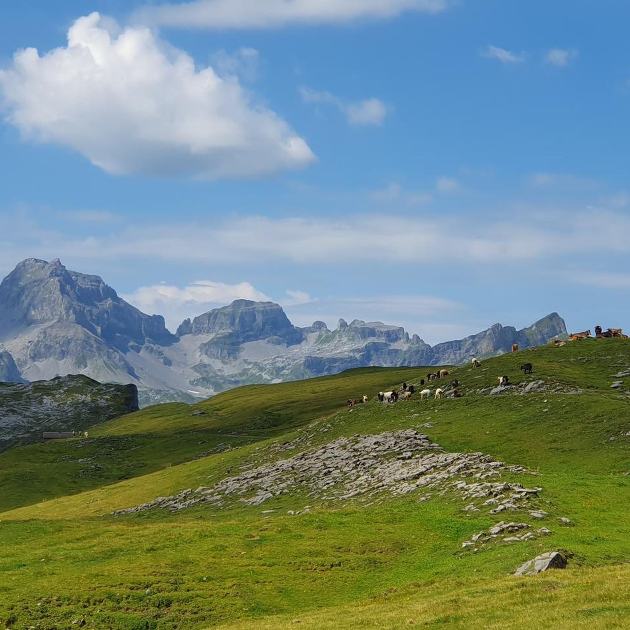
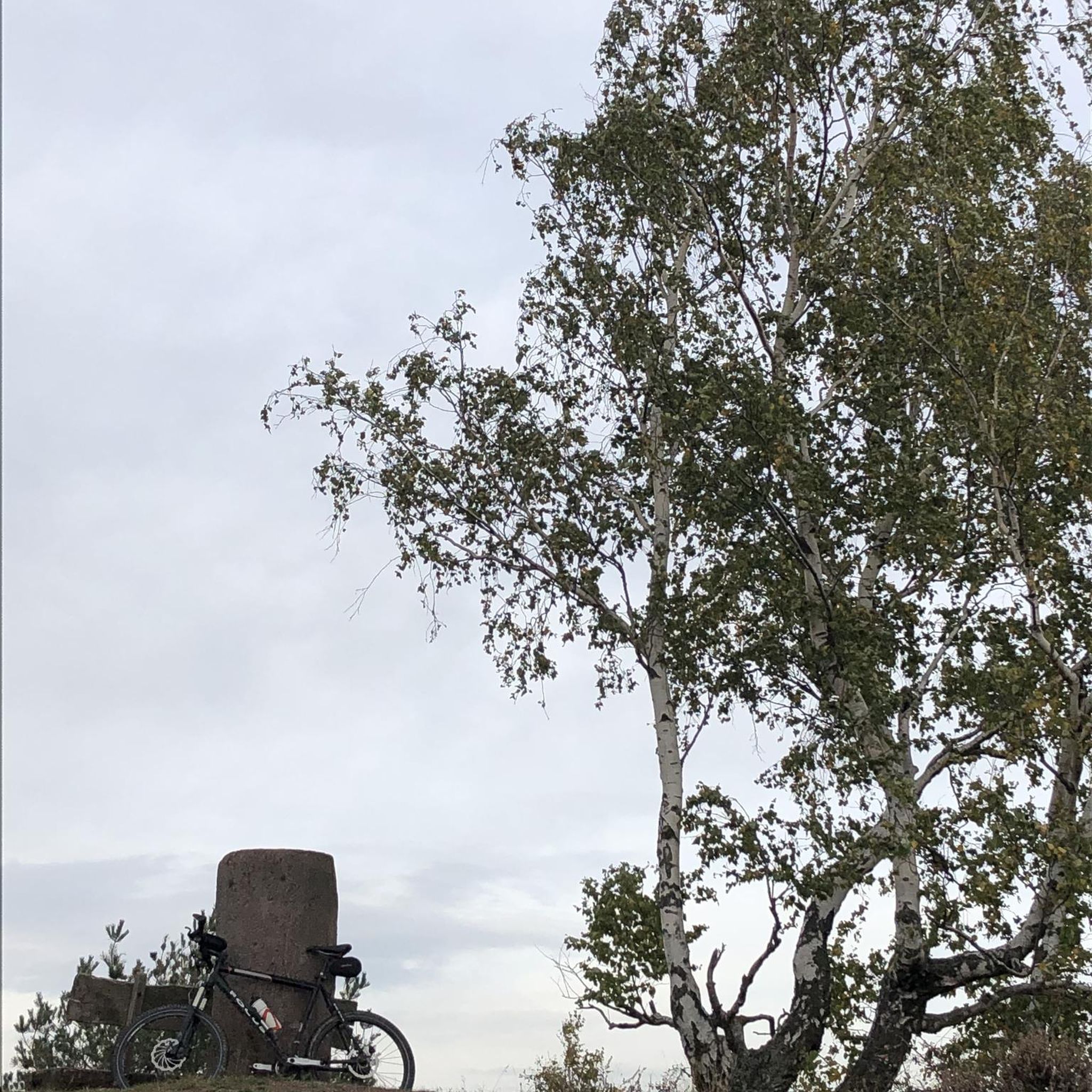
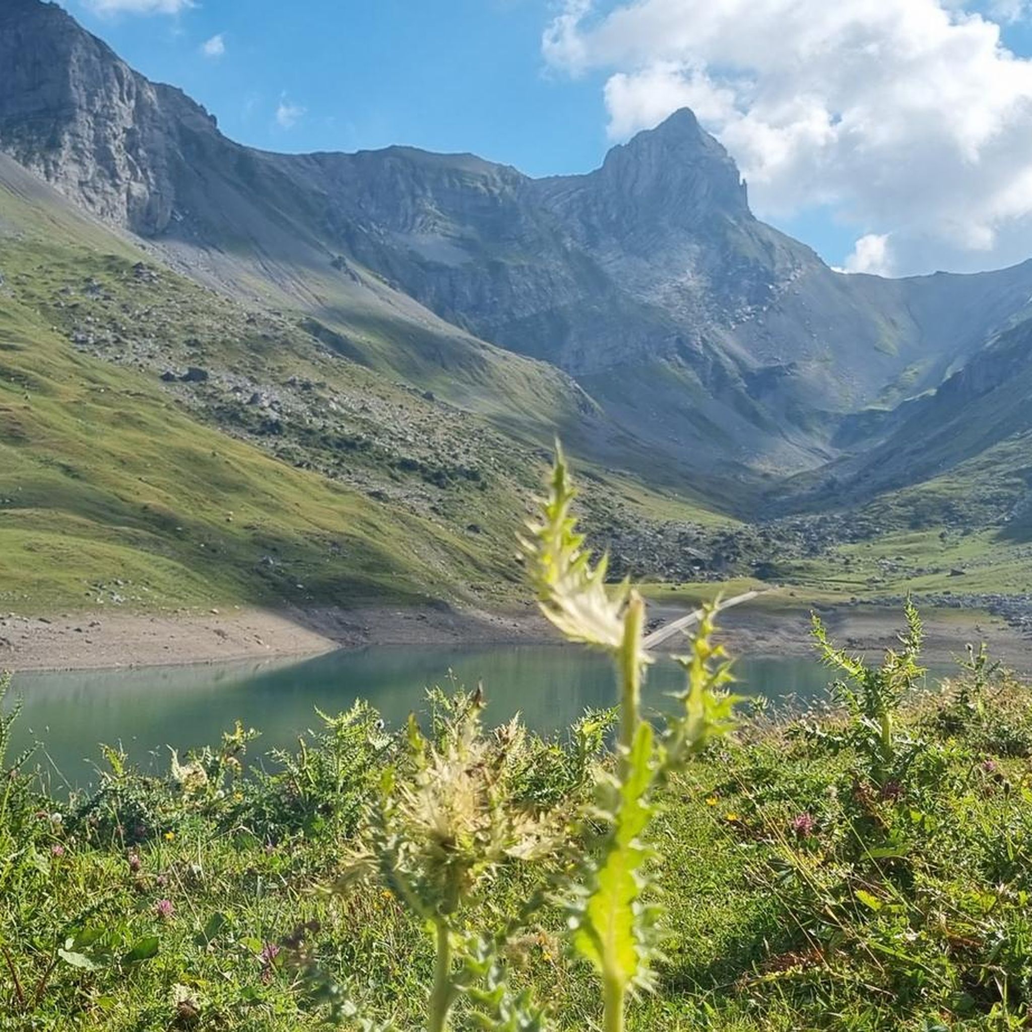
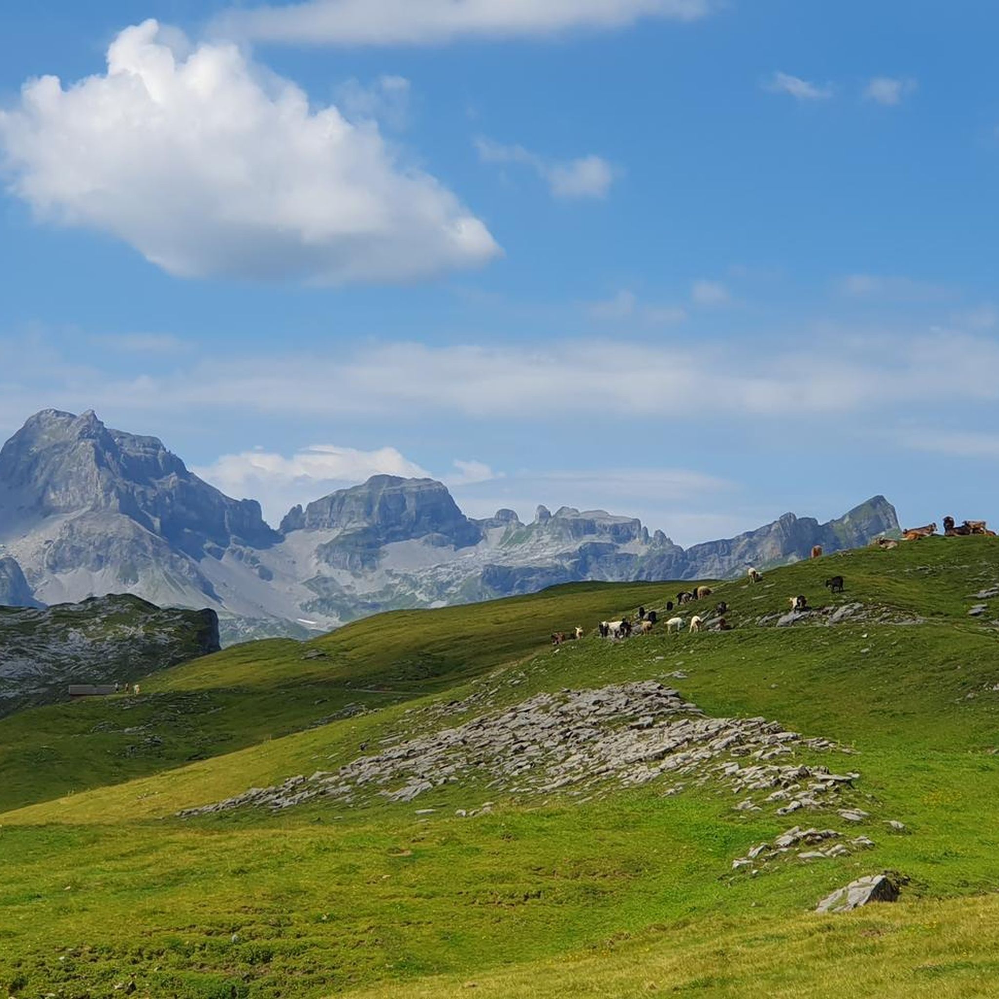
Tips from the Community

Cozy guesthouse with friendly service
5
0


Beautiful and lonely place above the Glattalpsee. Most tourists only go as far as the lake circuit. (Correction: you are not alone among cows and lots of sheep 😉) After that it gradually gets steeper towards Ortstock.
0
0

small & fine, nice people, very good food
1
0
very nice people at the Ergismatt
0
0
A very nice viewing and resting place at 2100 m. From here it is another 600 m to the Ortstock.
0
1

The path from Lauchboden to the top of the pass is partly covered with large areas of rubble and snow fields. The line is not visible/present from the upper half. It is very steep but doable. You should be particularly careful on the descent.
0
0
Frequently Asked Questions
What is the general difficulty level of hiking trails around Glattalpsee?
The trails around Glattalpsee offer a range of difficulties. You'll find everything from moderate lakeside walks to more challenging mountain ascents. Out of over 150 available routes, about 32 are considered easy, 69 moderate, and 51 difficult, ensuring options for various fitness levels.
Are there any family-friendly hiking options around Glattalpsee?
Yes, there are several routes suitable for families. For a relatively easy and scenic option, consider the Glattalpsee – Glattalpsee Lakeside Trail loop from Glattalpsee. This 2.9-mile (4.7 km) trail offers continuous views of the lake and is generally completed in about 1 hour 15 minutes, making it manageable for most families.
Can I bring my dog on the hiking trails in Glattalpsee?
Most trails in the Glattalpsee area are dog-friendly, but it's always recommended to keep your dog on a leash, especially in areas with grazing livestock or protected wildlife. Be sure to carry enough water for both yourself and your pet, as water sources might be limited on some higher-altitude sections.
What is the best time of year to hike around Glattalpsee?
The prime hiking season for Glattalpsee typically runs from late spring (June) through early autumn (October). During these months, the snow has usually melted, and the weather is generally more stable, offering pleasant temperatures and clear views. Always check local weather forecasts before heading out.
Are there any circular hiking routes available?
Yes, many routes around Glattalpsee are designed as loops. For a longer, more challenging circular hike with panoramic views, you might enjoy the Glattalpsee – View of Glattalpsee loop from Berggasthaus Glattalp. This difficult 7.2-mile (11.6 km) path provides expansive vistas from higher elevations.
How can I get to Glattalpsee using public transport?
Access to Glattalpsee is often via a cable car from Sahli, which connects to public transport networks. It's advisable to check the current operating hours and schedules for both the cable car and connecting buses, as these can vary by season. Planning your journey in advance is recommended.
Where can I park my car when visiting Glattalpsee?
Parking is typically available at the base station of the cable car in Sahli, which provides access to the Glattalpsee area. From there, you would take the cable car up. Limited parking might also be available closer to the Glattalp area itself, but it's best to confirm local regulations and availability, especially during peak season.
Are there places to eat or stay overnight near the trails?
Yes, you'll find mountain huts and guesthouses in the Glattalp area. For example, the Charetalphüttli – Glattalp Hut loop from Berggasthaus Glattalp passes by mountain huts, which often offer refreshments and sometimes overnight accommodation. It's recommended to check their opening times and make reservations, especially during busy periods.
What do other hikers enjoy most about hiking in Glattalpsee?
The Glattalpsee area is highly rated by the komoot community, with an average score of 4.7 stars from over 1,200 reviews. Reviewers often praise the serene beauty of the lake, the peaceful alpine meadows, and the challenging yet rewarding mountain paths that offer stunning panoramic views.
Are there any longer, more challenging hikes for experienced hikers?
Absolutely. For experienced hikers seeking a significant challenge, routes like the View of Glattalpsee – Bear's Step loop from Höch Turm offer substantial elevation gain and distance. This particular route covers nearly 10 miles (16 km) with over 1500 meters of ascent, typically requiring a full day to complete.
Is it possible to hike around Glattalpsee in winter?
Winter hiking around Glattalpsee is possible but requires careful planning and appropriate gear. Many trails may be covered in snow and ice, making them more challenging and potentially dangerous. Conditions can change rapidly in the mountains, so it's crucial to check avalanche warnings and trail conditions before attempting any winter hikes.
Are there any trails that offer a different perspective of Glattalpsee, perhaps from a higher vantage point?
Yes, for a different perspective, consider routes that ascend to higher points around the lake. The Glattalpsee – Glattalpsee Lakeside Trail loop from Glattalphütte, while still a loop around the lake, includes some gentle ascents that provide slightly elevated views and a broader sense of the surrounding alpine landscape.
Most popular routes around Glattalpsee

Get inspired with the komoot mobile app


Explore more
Browse the best Hikes in other regions.
