The best MTB trails around Glattalpsee
4.6
(95)
625
riders
15
rides
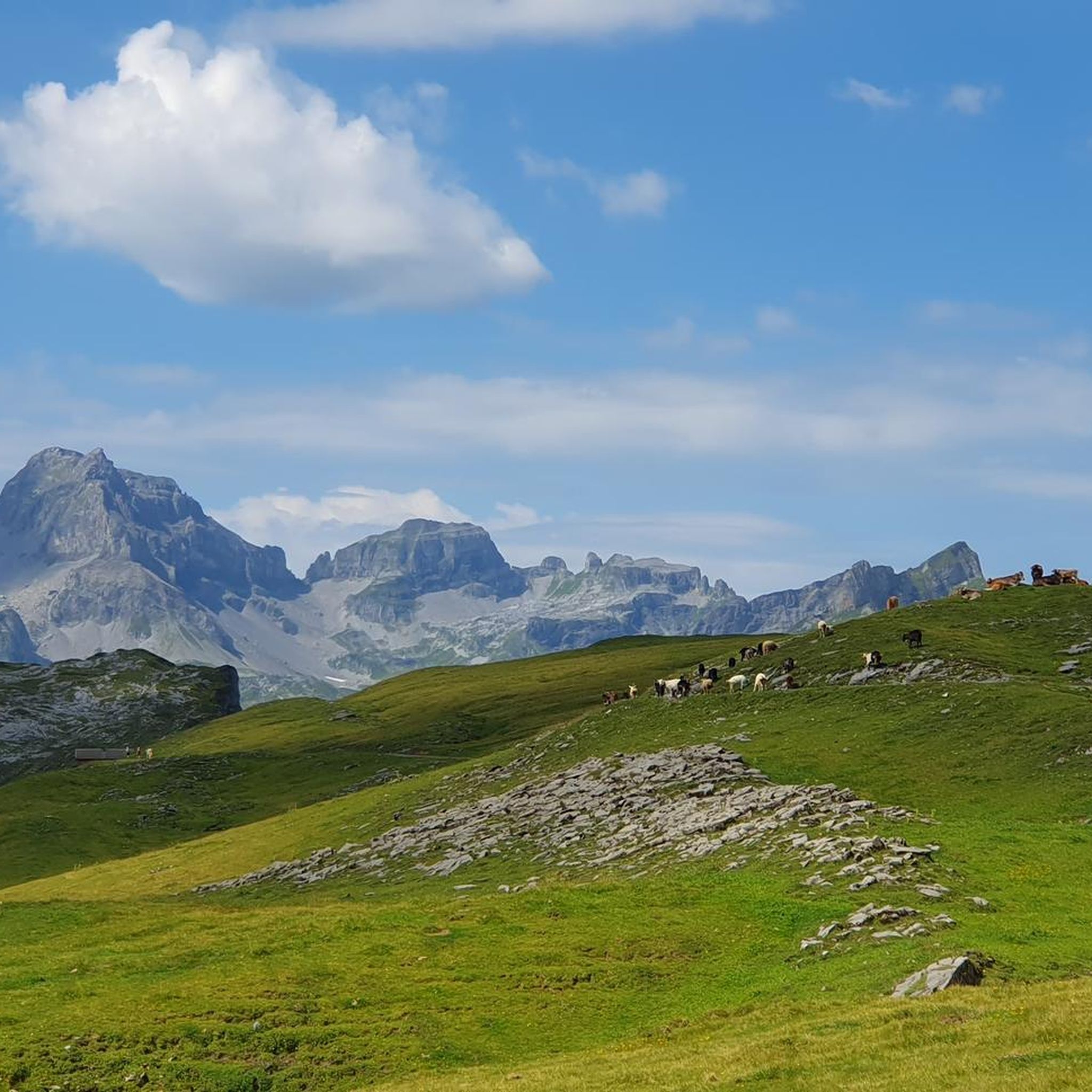
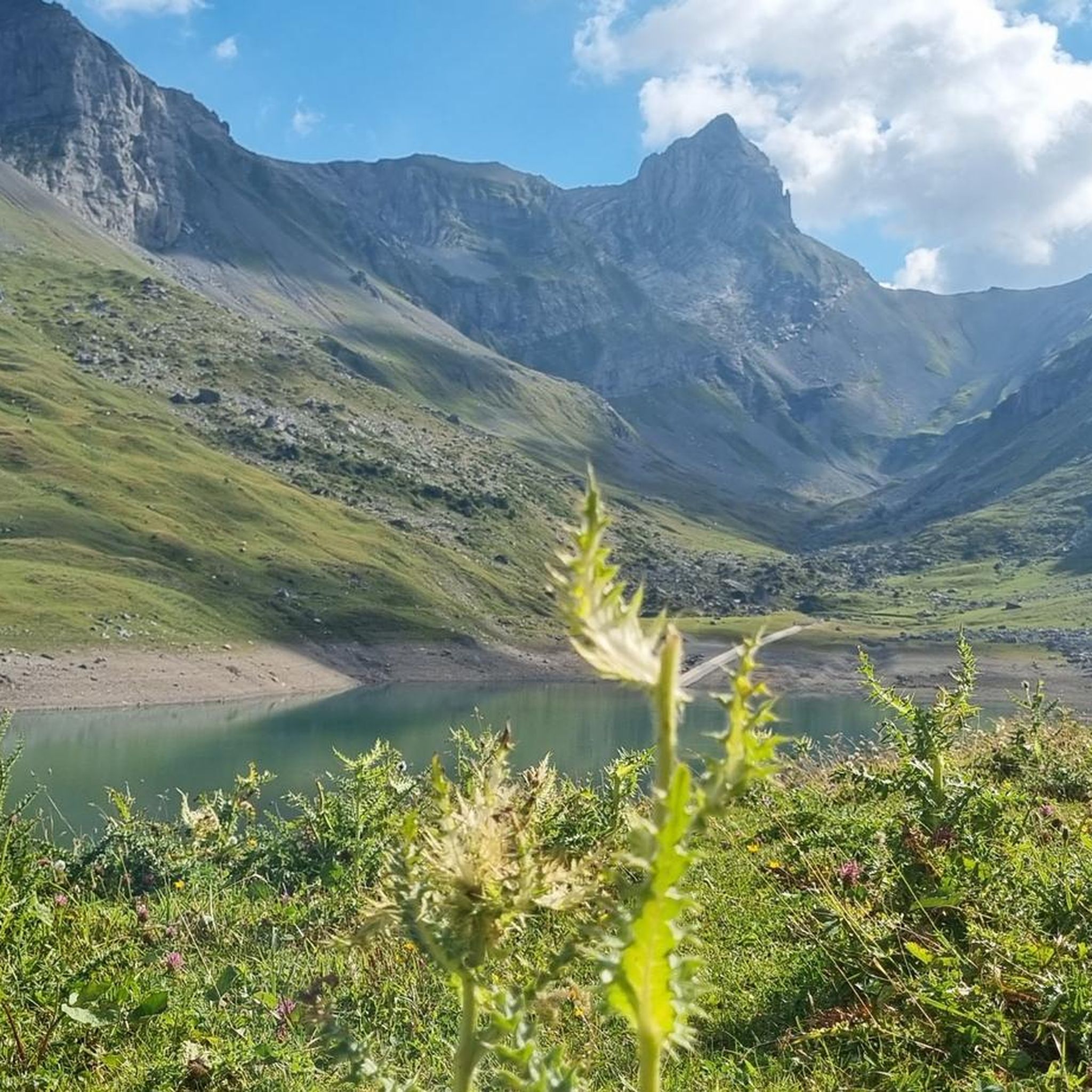
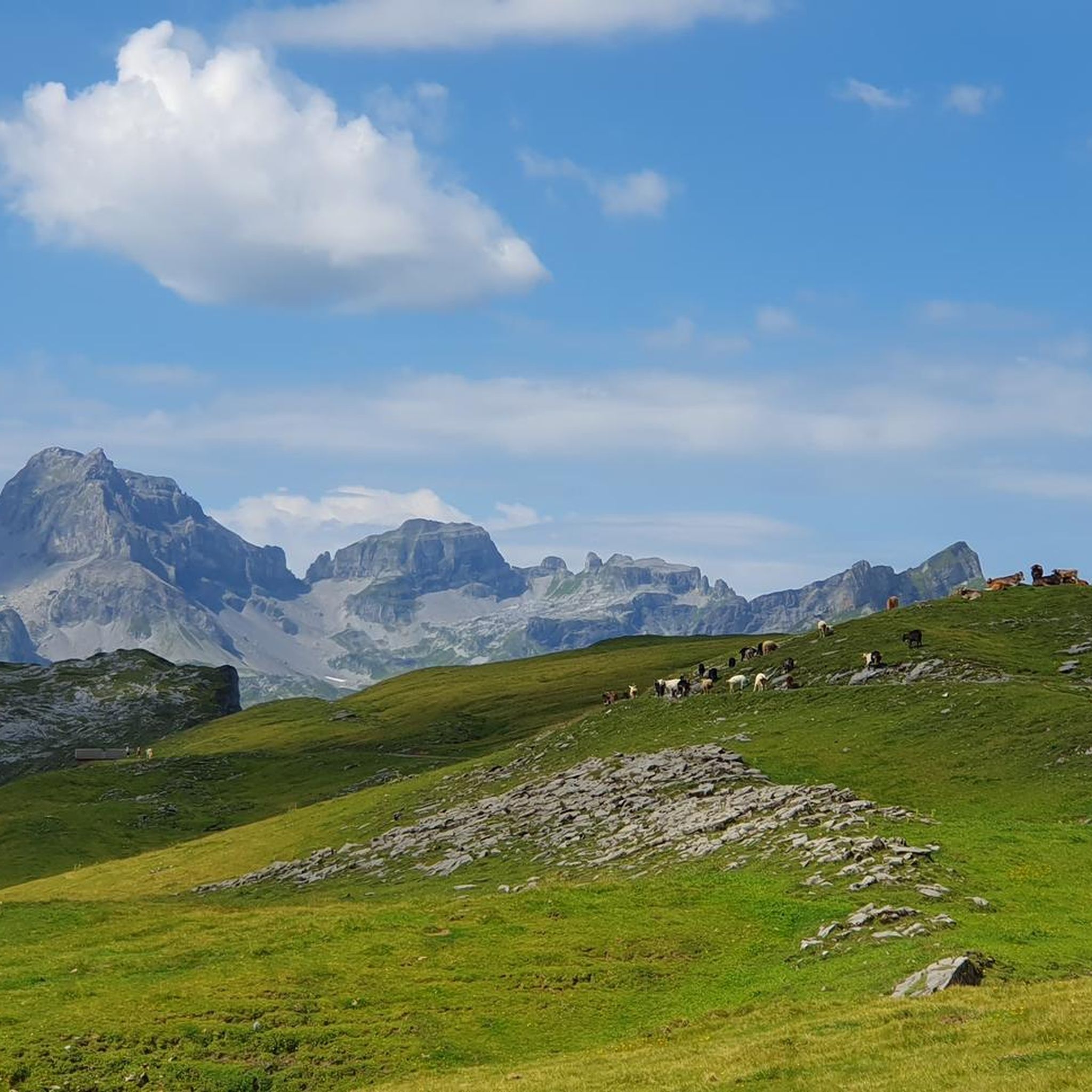
Mountain biking around Glattalpsee offers diverse terrain characterized by high alpine passes, expansive mountain meadows, and challenging ascents. The region, situated in the Swiss canton of Schwyz, features routes that navigate through valleys and past significant geographical landmarks like the Fiseten Pass and Klausenpass. Riders can expect a landscape shaped by rugged peaks and open vistas, providing a demanding yet rewarding experience for mountain bikers.
Best mountain bike trails around Glattalpsee
- The most popular mountain bike trail is View of Glarnerland – Fiseten Pass loop from Urnerboden, a difficult 8.3 miles (13.3 km) trail that takes 1 hour 49 minutes to complete. This route features significant climbs and offers expansive views of the Glarnerland region.
- Another top favourite among local mountain bikers is Urnerboden Bike, a difficult 15.7 miles (25.3 km) path. This trail winds through alpine meadows and offers panoramic views of the surrounding peaks.
- Local mountain bikers also love the View from Steingärtli – Klausenpass Restaurant & Kiosk loop from Argseeli, a 14.6 miles (23.5 km) trail leading through mountain passes and high-alpine landscapes, often completed in about 1 hour 59 minutes.
- Mountain biking around Glattalpsee is defined by alpine passes, mountain meadows, and challenging ascents. The network offers options for moderate to difficult ability levels.
- The routes in Glattalpsee are highly rated by the komoot community with an average score of 4.6 stars from over 80 reviews. More than 600 mountain bikers have used komoot to explore Glattalpsee's varied terrain.
Last updated: July 7, 2026
9
riders
13.3km
01:49
680m
680m
Hard mountain bike ride. Good fitness required. Advanced riding skills necessary. Some portions of the route may require you to push your bike.
4.7
(41)
211
riders
25.3km
03:10
990m
990m
Hard mountain bike ride. Very good fitness required. Advanced riding skills necessary. Some portions of the route may require you to push your bike.

Sign up for free
4.5
(8)
69
riders
23.5km
02:00
670m
670m
Moderate mountain bike ride. Good fitness required. Suitable for all skill levels.
3.0
(1)
14
riders
13.1km
01:35
550m
550m
Moderate mountain bike ride. Good fitness required. Suitable for all skill levels.
5.0
(1)
12
riders
38.5km
04:39
1,540m
1,540m
Hard mountain bike ride. Very good fitness required. Advanced riding skills necessary. Some portions of the route may require you to push your bike.
Get access to more routes and recommendations from other explorers.
Sign up for free
Already have an account?
Our route recommendations are based on thousands of hikes, rides, and runs completed by other people on komoot.
Start today with a free account
Your next adventure awaits.
Login or Signup
Tips from the Community

Nice, easy trail.
0
0

Great view, good path.
0
0

The Klausen Pass is a 1,948 m above sea level mountain pass in the Swiss canton of Uri, connecting the canton's core area to Glarus via the Urner Boden valley, which is continuously inhabited in winter and therefore a functional exclave. The pass leads from Altdorf (canton of Uri) through the Schächen Valley, over the pass summit and the parish of Urnerboden to Linthal in the canton of Glarus. The pass summit forms the border between the Uri municipality of Unterschächen and the Urner Boden region, which belongs to Spiringen.
1
0


Great view, several benches to sit and enjoy. I would definitely climb through the forest myself instead of taking the gondola – it's so much more beautiful up there...and the path through the forest is really beautiful.
1
0
Nice and quite easy alternative to the road.
0
0
Simple, monotonous driveway but beautiful views!
0
0
A great S1-S2 downhill trail that's really fun. The uphill was S2-S3, and at times we had a real uphill flow.
0
0
Frequently Asked Questions
How many mountain bike trails are available around Glattalpsee?
There are over 15 mountain bike trails around Glattalpsee listed on komoot, offering a variety of experiences for different skill levels.
What is the typical difficulty level of mountain bike trails around Glattalpsee?
The mountain bike trails around Glattalpsee are predominantly challenging. Out of the 15 routes, 11 are rated as difficult, and 4 are moderate. Riders should expect significant climbs and technical sections, characteristic of high alpine terrain.
Are there any family-friendly mountain bike trails near Glattalpsee?
Given the high alpine nature of the Glattalpsee region, most mountain bike trails are rated moderate to difficult. There are currently no trails specifically classified as easy, so families with younger children or beginners might find the terrain demanding.
What is the best time of year for mountain biking around Glattalpsee?
The best time for mountain biking around Glattalpsee is typically from late spring to early autumn (June to September). During these months, the passes are usually clear of snow, and the weather conditions are more stable. Always check local weather and trail conditions before heading out.
Are there any circular mountain bike routes around Glattalpsee?
Yes, several circular routes are available. For example, the View of Glarnerland – Fiseten Pass loop from Urnerboden is a difficult 8.3-mile (13.3 km) loop, and the View of Glarnerland – Wängi Trail loop from Urnerboden offers a moderate 8.1-mile (13.0 km) ride.
How long do mountain bike trails around Glattalpsee typically take to complete?
Trail durations vary significantly based on distance and difficulty. For instance, the moderate View of Glarnerland – Wängi Trail loop from Urnerboden takes approximately 1 hour 35 minutes, while the difficult Urnerboden Bike can take around 3 hours 10 minutes.
What kind of views can I expect on the mountain bike trails?
The trails offer expansive views of the Glarnerland region and surrounding peaks, navigating through high alpine passes and mountain meadows. Routes like the View from Steingärtli – Klausenpass Restaurant & Kiosk loop from Argseeli provide stunning vistas of the high-alpine landscape.
Is public transport available to access mountain bike trails near Glattalpsee?
Access to the Glattalpsee region often involves a combination of public transport and cable car. While specific bus routes serve nearby towns like Urnerboden, direct public transport to all trailheads might be limited due to the remote, high-alpine location. It's advisable to check local transport schedules for the most up-to-date information.
Are there any cafes or restaurants along the mountain bike routes?
Yes, some routes pass by or near establishments. For example, the View from Steingärtli – Klausenpass Restaurant & Kiosk loop from Argseeli includes the Klausenpass Restaurant & Kiosk, offering a place to refuel.
What do other mountain bikers say about the trails around Glattalpsee?
The mountain bike trails around Glattalpsee are highly rated by the komoot community, with an average score of 4.6 stars from over 80 reviews. Riders frequently praise the challenging ascents, rewarding views, and the unique high-alpine experience.
Can I go mountain biking around Glattalpsee in winter?
Mountain biking around Glattalpsee in winter is generally not recommended due to heavy snowfall, icy conditions, and the closure of many alpine passes. The trails are primarily designed for snow-free conditions, and avalanche risks can be significant. Winter sports like ski touring or snowshoeing are more suitable for the season.
Are there any less crowded mountain bike trails near Glattalpsee?
While the Glattalpsee region is popular, some trails might offer a more secluded experience, especially on weekdays or outside peak season. Exploring routes that venture further into the less-traveled sections of the Klausenpass area, such as the longer Klausenpass Restaurant & Kiosk – Hotel Klausenpass loop from Glatten, could lead to a quieter ride.
Most popular routes around Glattalpsee

Get inspired with the komoot mobile app


Explore more
Browse the best MTB trails in other regions.
