The best running trails around Bacino artificiale di Val Noci
4.8
(30)
845
runners
37
runs
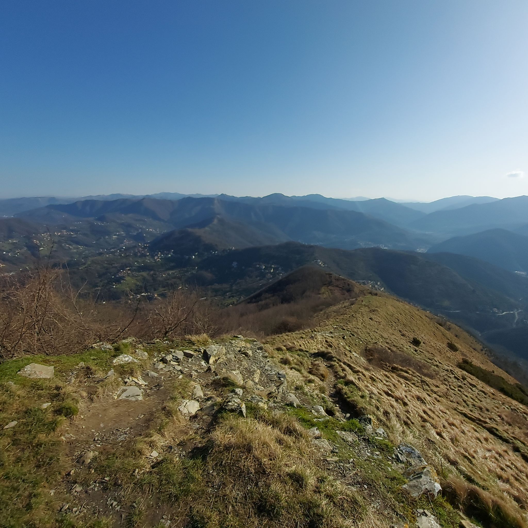
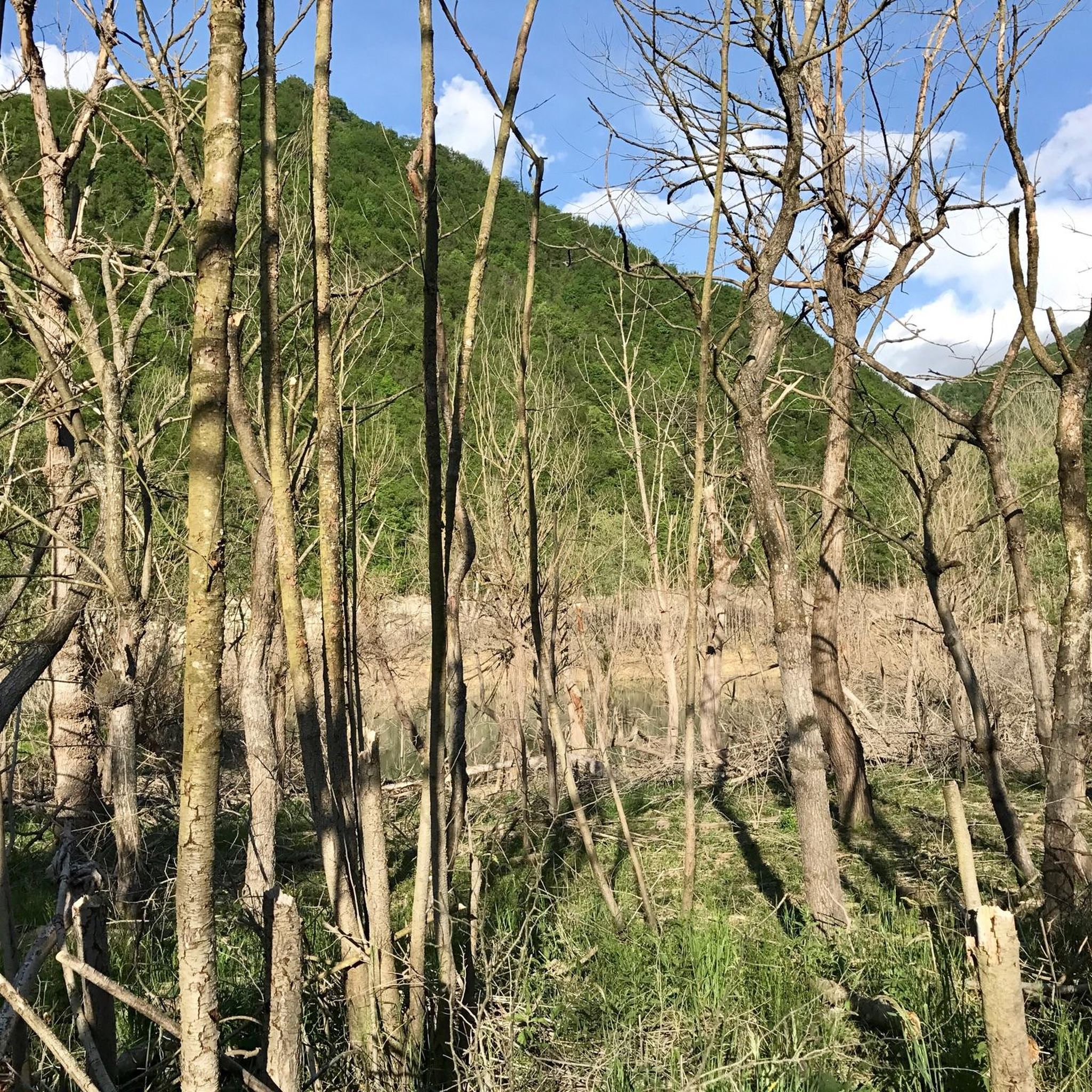
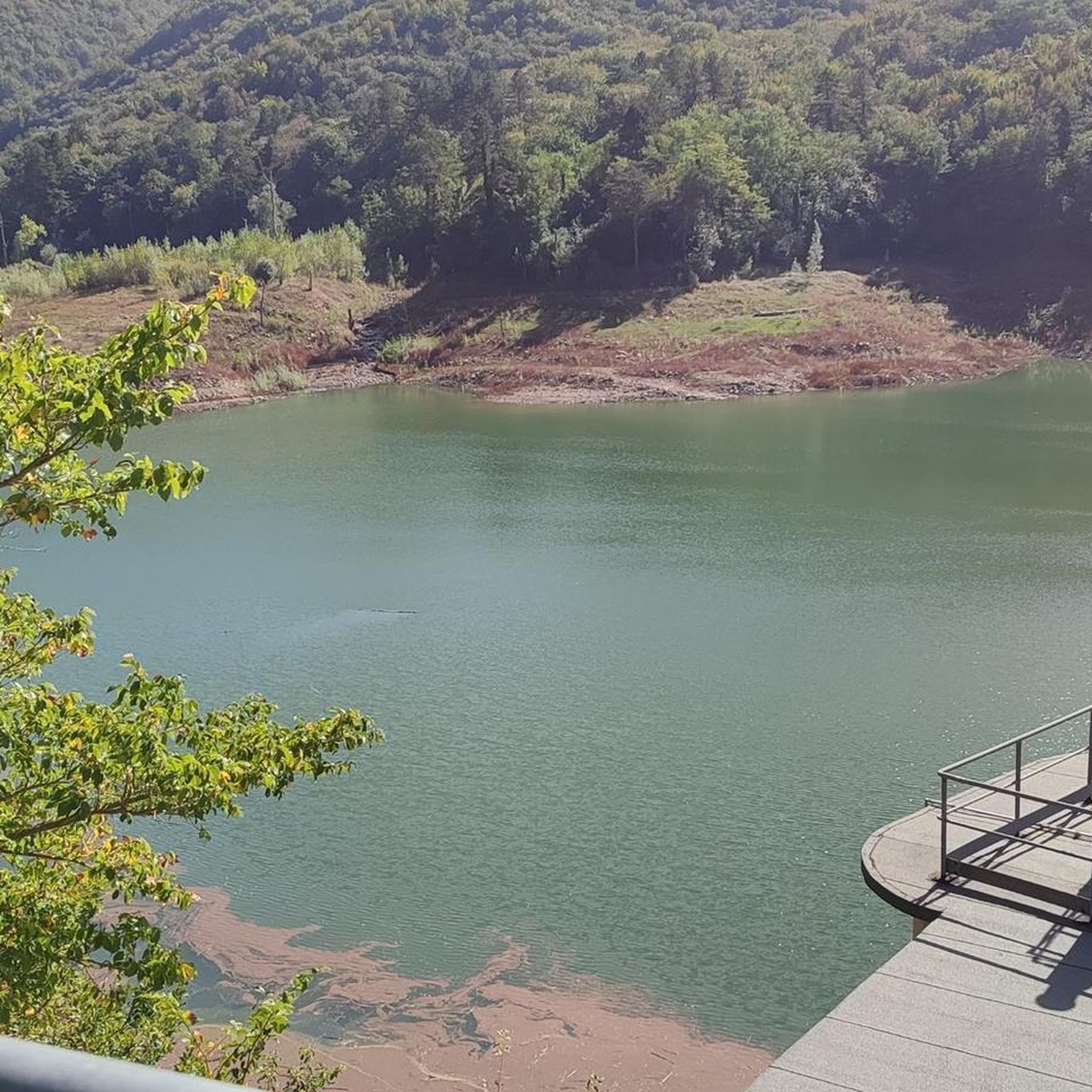
Jogging around Bacino artificiale di Val Noci offers routes within a serene natural environment, characterized by a large artificial lake nestled in the Ligurian Apennines. The area features a mountainous backdrop with peaks such as Monte Bano and Monte Candelozzo, and extensive forested slopes. A generally flat ring-route encircles the lake, providing well-maintained pathways suitable for various fitness levels. The landscape provides a tranquil setting for running, with paths often winding through woods just above the water level.
Best jogging…
Last updated: July 1, 2026
11
runners
21.0km
02:27
610m
610m
Hard run. Very good fitness required. Mostly paved surfaces. Suitable for all skill levels.
39
runners
10.5km
01:09
180m
180m
Moderate run. Good fitness required. Mostly paved surfaces. Suitable for all skill levels.

Sign up for free
8
runners
12.3km
02:15
880m
880m
Hard run. Very good fitness required. Sure-footedness, sturdy shoes and alpine experience required.
6
runners
20.3km
02:21
550m
550m
Hard run. Very good fitness required. Mostly accessible paths. Some sure footedness required.
5
runners
6.81km
00:43
80m
80m
Moderate run. Good fitness required. Mostly paved surfaces. Suitable for all skill levels.
Get access to more routes and recommendations from other explorers.
Sign up for free
Already have an account?
Our route recommendations are based on thousands of hikes, rides, and runs completed by other people on komoot.
Start today with a free account
Your next adventure awaits.
Login or Signup
Tips from the Community

Casella is a small town on the right of the Scrivia stream, nestled in the upper Scrivia valley and at the foot of Mount Maggio. It is a true jewel in Liguria, also an excellent starting point for routes in the Antola Park
0
0
Savignone, located in the Antola Regional Natural Park, boasts places of historical interest such as Palazzo Fieschi and Castello Fieschi, and offers hiking routes on the Maggio, Suia and Pianetto mountains.
1
0

The Rio Torbido Canal Bridge crosses the stream of the same name and is over 100 m long and more than 35 m high. It is part of the seventeenth-century extension of the aqueduct.
0
1

The small village of Casella, in the province of Genoa, has about three thousand inhabitants and is a small pearl immersed in the Ligurian Apennines. Located on the right of the Scrivia stream, it must be crossed slowly while admiring Palazzo Fieschi in the main square of Casella.
2
0

Frequently Asked Questions
How many running routes are available around Bacino artificiale di Val Noci?
There are over 20 diverse running routes around Bacino artificiale di Val Noci, catering to various fitness levels. You'll find options ranging from moderate loops to more challenging trails with significant elevation gain.
Are there any easy jogging routes suitable for beginners or families?
Yes, the ring-route that encircles the lake is generally flat and easy, making it ideal for beginners, families, and children. This approximately 4.5 km circular path offers a pleasant run through forested areas just above the water level.
Can I bring my dog on the running trails around Val Noci lake?
Absolutely! The generally flat and easy ring-route around Bacino artificiale di Val Noci is well-suited for dog owners. The natural environment and shaded paths make it a great place to run with your canine companion.
What kind of terrain can I expect on the jogging paths?
The terrain varies, but many paths, especially the popular lake loop, are well-maintained and often wind through forested slopes. You'll encounter a mix of natural surfaces and occasional wooden walkways, providing a tranquil running experience.
Are there any circular running routes in the area?
Yes, the most prominent circular route is the approximately 4.5 km path that encircles Bacino artificiale di Val Noci itself. This loop is a popular choice for its scenic views and accessibility. Additionally, many of the longer routes, such as the Corso Italia Promenade – Boccadasse loop from Struppa, are designed as loops.
What are the best times of year to go running in Bacino artificiale di Val Noci?
The forested slopes around Bacino artificiale di Val Noci provide a tranquil and often shaded environment, making it pleasant for running even during warmer months. Spring and autumn offer particularly comfortable temperatures and beautiful seasonal scenery.
Are there any challenging running trails for experienced runners?
Yes, for those seeking a more demanding run, there are several difficult routes with significant elevation gain. An example is the Crocetta d'Oro loop from Casella Deposito, which covers over 30 km and includes substantial climbs.
What natural features or landmarks can I see while running?
As you run, you'll be surrounded by the beautiful mountainous backdrop of the Ligurian Apennines, with peaks like Monte Bano, Monte Alpesisa, and Monte Candelozzo framing the basin. The lake itself is a significant natural feature, and paths often run just above its water level, offering serene views.
Is there parking available near the running trails?
Yes, parking is generally available near access points to the lake's ring-route and other trailheads. It's advisable to check specific starting points for detailed parking information.
What do other runners enjoy most about jogging in Bacino artificiale di Val Noci?
The area is highly rated by the komoot community, with an average score of 4.9 stars from more than 10 reviews. Runners often praise the serene natural environment, the well-maintained pathways, and the beautiful views of the lake and surrounding mountains.
Are there any routes that offer views of the surrounding peaks?
Many routes provide scenic views of the mountainous landscape. While the specific route mentioned in the intro, "View From Monte Alpesisa loop from Aggio," offers such views, other trails in the area also ascend to vantage points, allowing you to appreciate peaks like Monte Bano and Monte Candelozzo.
Are there any running routes that connect to nearby towns?
Yes, some routes extend beyond the immediate lake area and connect to local towns, offering varied terrain and scenery. For instance, the Corso Italia Promenade – Boccadasse loop from Struppa is a longer route that explores a wider area.
Most popular routes around Bacino artificiale di Val Noci

Get inspired with the komoot mobile app


Explore more
Browse the best Running Trails & Routes in other regions.
