The best walks and hikes around Bacino artificiale di Val Noci
4.4
(979)
3,425
hikers
151
hikes
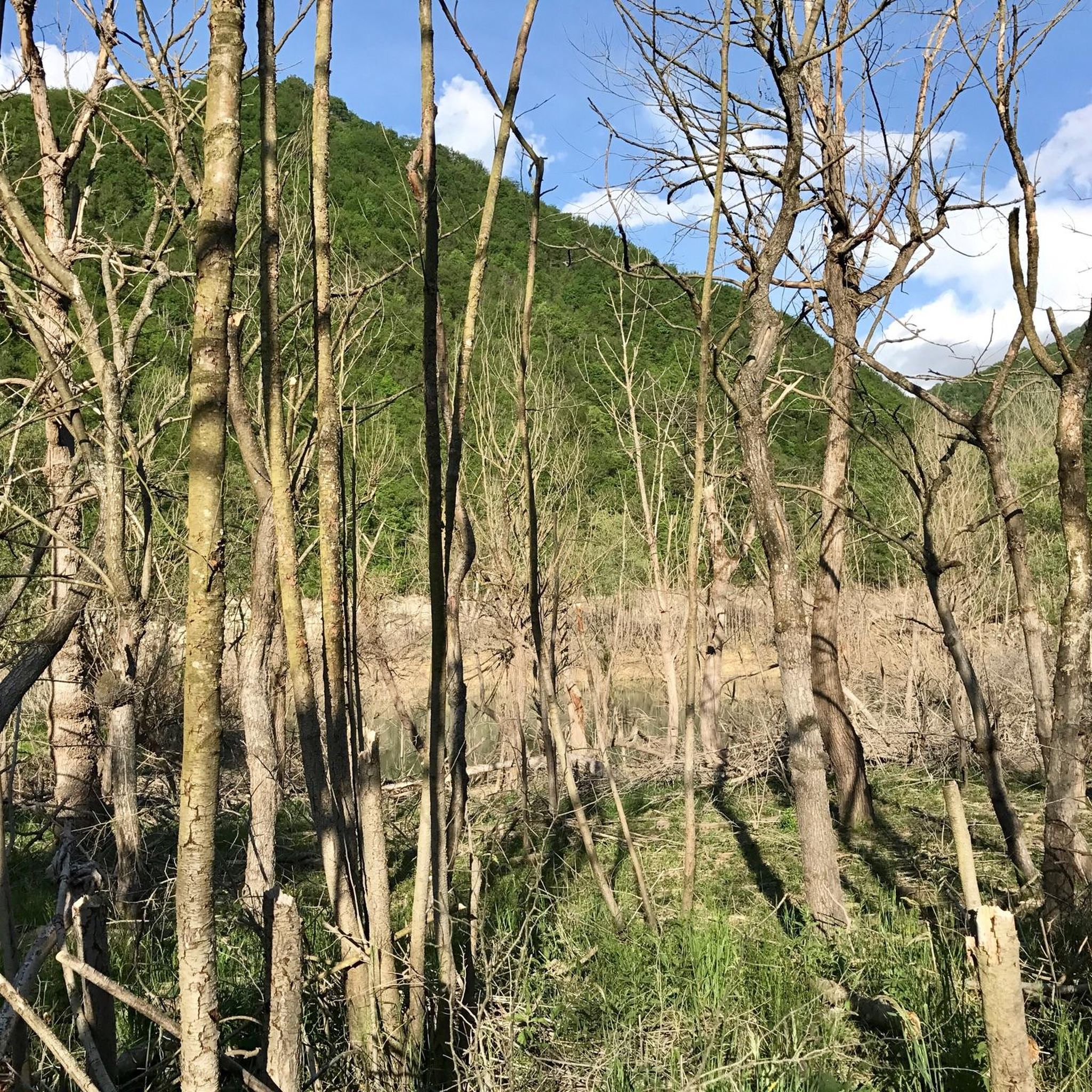
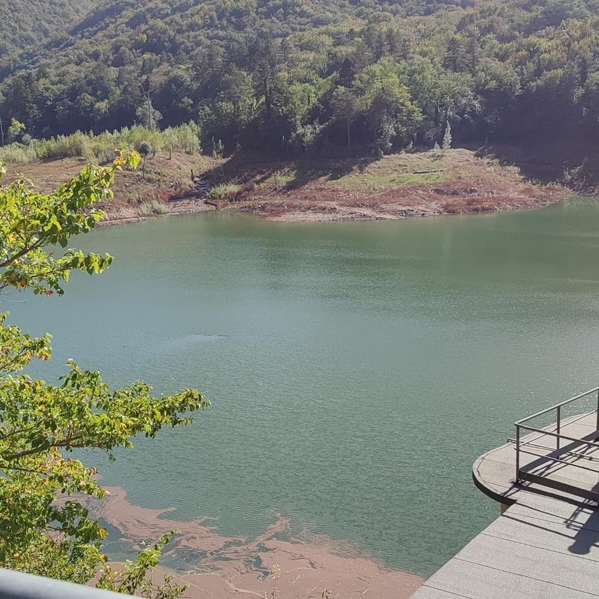
Hiking around Bacino artificiale di Val Noci offers diverse trails set within the Ligurian Apennines, centered around an artificial lake. The landscape features a mountainous backdrop, including peaks like Monte Bano and Monte Candelozzo, providing varied terrain for hikers. Trails traverse chestnut groves, grassy slopes, and ancient mule tracks, with some routes offering views of Monte Alpesisa. The area provides a tranquil natural setting for outdoor activities.
Best hiking trails around Bacino artificiale di Val Noci
- The most popular hiking…
Last updated: July 9, 2026
5
hikers
Moderate hike. Good fitness required. Mostly accessible paths. Sure-footedness required.
3.0
(1)
6
hikers
9.95km
03:47
520m
520m
Moderate hike. Good fitness required. Mostly accessible paths. Sure-footedness required.

Sign up for free
5.0
(1)
1
hikers
10.4km
03:33
300m
300m
Moderate hike. Good fitness required. Mostly accessible paths. Sure-footedness required.
4.3
(7)
19
hikers
18.4km
07:35
980m
980m
Hard hike. Very good fitness required. Mostly accessible paths. Sure-footedness required.
4.0
(2)
7
hikers
7.63km
02:42
270m
270m
Moderate hike. Good fitness required. Mostly accessible paths. Sure-footedness required.
Get access to more routes and recommendations from other explorers.
Sign up for free
Already have an account?
Our route recommendations are based on thousands of hikes, rides, and runs completed by other people on komoot.
Start today with a free account
Your next adventure awaits.
Login or Signup
Tips from the Community

Can you swim in this lake or not, because it is a reservoir? Best regards:)
0
0


incredible view, be careful on the descent on the south face on simple rocks.
0
0
charming place a stone's throw from Genoa
0
0

Connection marked with a yellow "x" very dirty. Alternatively you can use the asphalt road that runs parallel and takes you to the Sisa Gorge.
0
0
Frequently Asked Questions
How many hiking trails are available around Bacino artificiale di Val Noci?
There are over 140 hiking routes available around Bacino artificiale di Val Noci, offering a wide range of options from easy walks to more challenging ascents. The komoot community has explored more than 3,100 of these routes.
What do other hikers enjoy most about the trails around Bacino artificiale di Val Noci?
The area is highly rated by the komoot community, with an average score of 4.4 stars from over 850 reviews. Hikers often praise the tranquil natural setting, the diverse terrain including chestnut groves and mountain views, and the well-maintained paths around the lake.
Are there easy hiking trails suitable for beginners or families around Bacino artificiale di Val Noci?
Yes, the area offers several easy paths suitable for all skill levels, including families with children. A notable option is the pedestrian ring around the lake, which is mostly flat, spans about 4.5 kilometers, and can be completed in approximately an hour. There are 15 easy routes in total.
What kind of terrain can I expect on the more challenging hikes?
More challenging routes around Bacino artificiale di Val Noci often involve ascents into the mountainous surroundings, traversing varied terrain such as chestnut groves, grassy slopes, and ancient mule tracks. You can expect significant elevation changes, with some routes offering panoramic views from peaks like Monte Alpesisa. An example is the Lake Val Noci – Monte Carmo loop, which features over 900 meters of elevation gain.
Are there any circular hiking routes around Bacino artificiale di Val Noci?
Yes, many of the trails around Bacino artificiale di Val Noci are circular, allowing you to start and end at the same point. Besides the easy lake ring path, more ambitious circular routes include the Alpesisa Summit – Lake Val Noci loop and the Lake Val Noci – Lake Val Noci loop, which explore the wider area and surrounding peaks.
Can I bring my dog on the hiking trails around Bacino artificiale di Val Noci?
While specific regulations for dogs on trails can vary, the natural environment of Bacino artificiale di Val Noci is generally welcoming to dogs. It's always recommended to keep your dog on a leash, especially in areas with wildlife or near other hikers, and to clean up after them. Check local signage for any specific restrictions.
What natural features or landmarks can I see while hiking?
The area is rich in natural features. You'll encounter the artificial lake itself, with its impressive 56-meter-high dam. The mountainous backdrop includes peaks like Monte Bano (1,035 m), Monte Candelozzo (1,036 m), and Monte Alpesisa (984 m), which offer stunning views. The trails also pass through beautiful chestnut groves and open grassy slopes.
Is there parking available for hikers at Bacino artificiale di Val Noci?
Yes, there are parking options available in the vicinity of Bacino artificiale di Val Noci, particularly near the main access points to the lake and trailheads. It's advisable to arrive early during peak season to secure a spot.
How can I reach Bacino artificiale di Val Noci using public transport?
Bacino artificiale di Val Noci is located near Montoggio in the Ligurian Apennines. While direct public transport to the immediate lake area might be limited, you can typically reach Montoggio by bus from Genoa. From Montoggio, you may need to walk or arrange for local transport to reach the trailheads around the lake.
What is the best time of year to go hiking around Bacino artificiale di Val Noci?
The area is beautiful throughout the year, but the warmer months, from spring to early autumn, are generally ideal for hiking. During this period, the weather is milder, and the trails are more accessible. The low pollution of the area is also indicated by the presence of elateridae (nocturnal beetles) during warmer months.
Are there any permits required for hiking in the Bacino artificiale di Val Noci area?
Generally, no specific hiking permits are required for accessing the trails around Bacino artificiale di Val Noci. However, it's always good practice to respect local regulations and private property signs. The lake is a vital water resource for Genoa, so certain areas might have restricted access for conservation purposes.
Are there any cafes, restaurants, or accommodation options near Bacino artificiale di Val Noci?
While Bacino artificiale di Val Noci is known as a peaceful oasis away from city life, the nearby town of Montoggio offers some local amenities. You can find cafes, restaurants, and various accommodation options such as B&Bs or agriturismo in Montoggio, providing convenient services for visitors to the area.
How long do hikes around Bacino artificiale di Val Noci typically take?
Hike durations vary significantly depending on the route and your pace. The easy pedestrian ring around the lake can be completed in about an hour. Moderate trails like the Giorgio Governa Trail might take around 3-4 hours, while more difficult loops such as the Lake Val Noci – Monte Carmo loop can take up to 7 hours or more.
Most popular routes around Bacino artificiale di Val Noci

Get inspired with the komoot mobile app


Explore more
Browse the best Hikes in other regions.
