The best road cycling routes around Lake del Brugneto
4.1
(27)
426
riders
15
rides
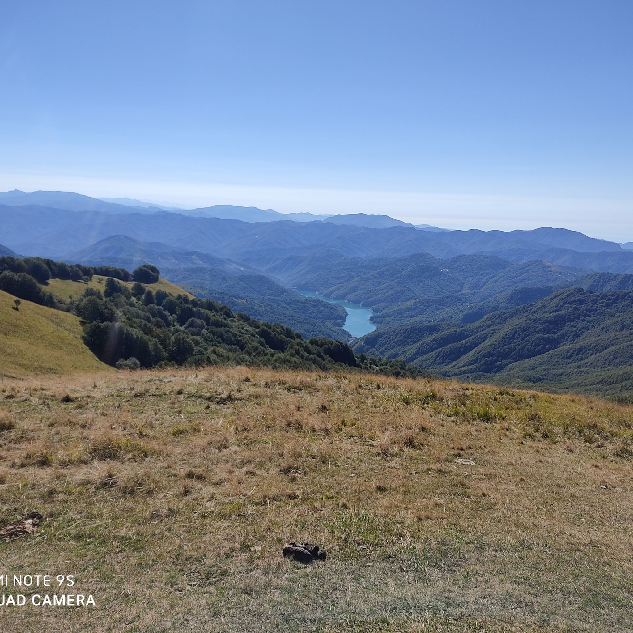
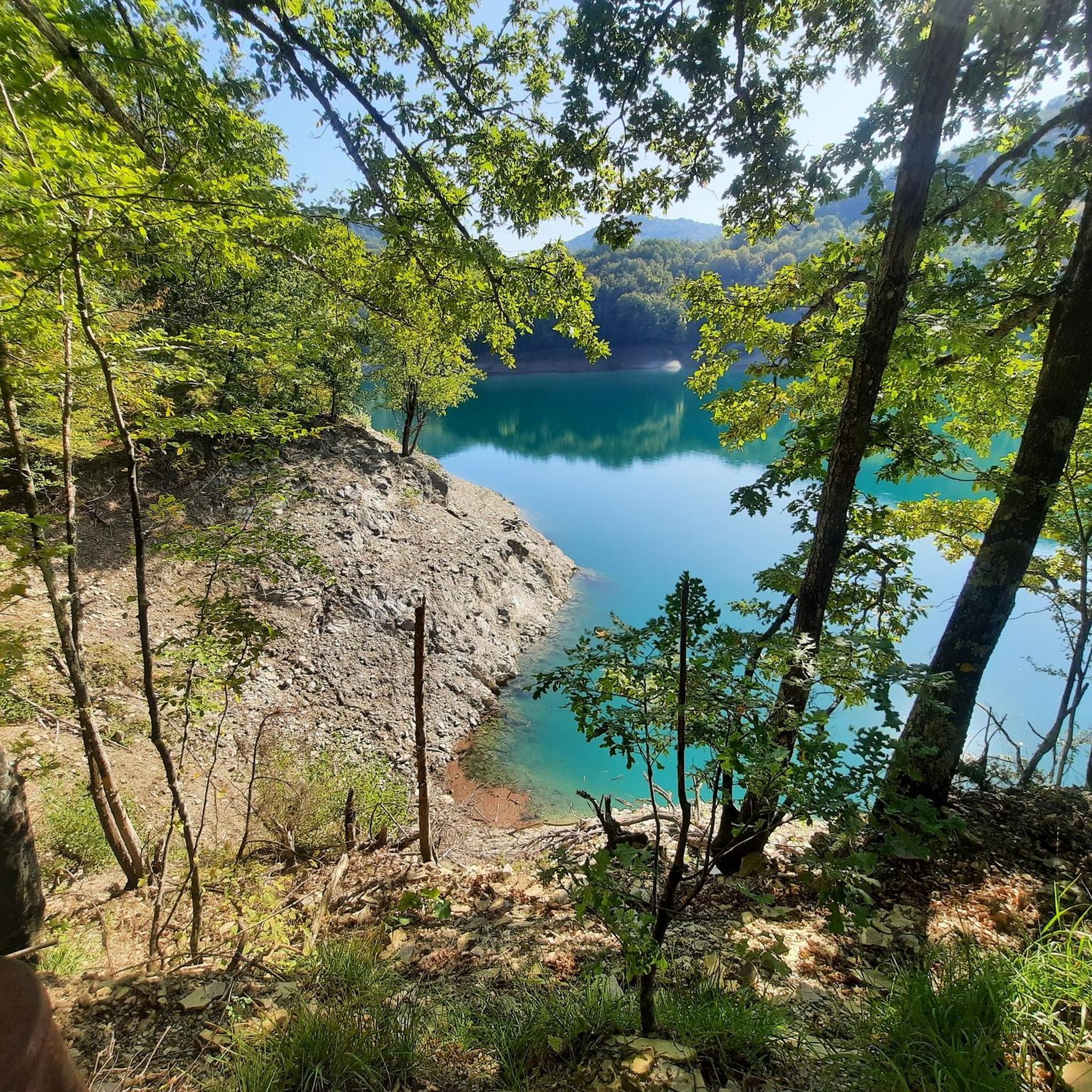
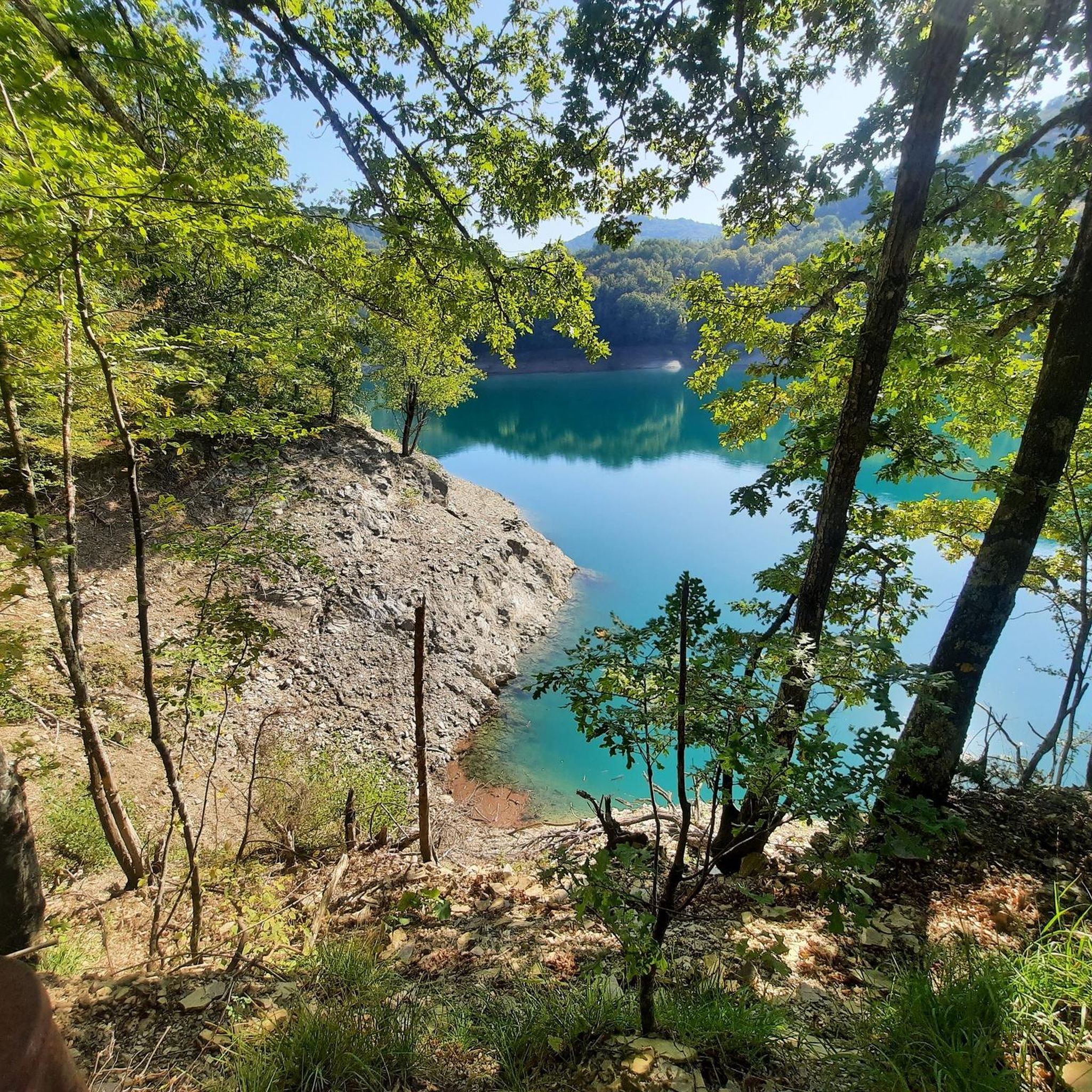
Road cycling routes around Lake del Brugneto are set within the Antola Regional Natural Park, offering diverse terrain in the Upper Trebbia Valley. The region features a large artificial lake at 776 meters above sea level, surrounded by dense chestnut forests and mountainous landscapes. Road cyclists can expect continuously varied terrain with ascents and descents, rather than long flat sections, providing an engaging ride through a wild and scenic environment.
Best road cycling routes around Lake del Brugneto
- The most…
Last updated: November 1, 2026
4.0
(3)
10
riders
27.3km
01:41
720m
730m
Moderate road ride. Good fitness required. Mostly well-paved surfaces and easy to ride.
4.5
(6)
23
riders
47.3km
03:01
1,420m
1,420m
Hard road ride. Very good fitness required. Mostly well-paved surfaces and easy to ride.

4.3
(6)
73
riders
67.7km
03:05
740m
740m
Moderate road ride. Good fitness required. Mostly well-paved surfaces and easy to ride.
5.0
(1)
35
riders
95.3km
04:45
1,500m
1,500m
Hard road ride. Very good fitness required. Mostly well-paved surfaces and easy to ride.
4.8
(5)
8
riders
18.5km
00:59
360m
360m
Moderate road ride. Good fitness required. Mostly well-paved surfaces and easy to ride.
Get access to more routes and recommendations from other explorers.
Already have an account?
Our route recommendations are based on thousands of hikes, rides, and runs completed by other people on komoot.
Start today with a free account
Your next adventure awaits.

Tips from the Community

From here you go everywhere!..to Piacenza on one side to the sea of Chiavari on the other
0
0

The bends of the Trebbia river (also called meanders) are the large curves that the river forms in the Trebbia Valley, especially in the Apennine stretch between Bobbio, Brugnello and Marsaglia.
11
0

The Beauty of Torriglia is a legend that symbolizes the village in the Ligurian Apennines. It tells of a young woman of extraordinary beauty, desired by all but never married—hence the Genoese proverb, "A l'é a bella de Torriggia: tutti a vêuan e nisciûn s'a piggia."
0
0
Ecclesiastical building kept in excellent condition.
18
0
Starting point for trekking.
18
0
This is a very nice spot for taking photos.
17
0
Painting depicting a lady
17
0

beautiful place, the lake is surrounded by nature, the dam can be crossed, there are many paths nearby and with very little traffic.
0
0
Frequently Asked Questions
What is the typical terrain and difficulty for road cycling around Lake del Brugneto?
Road cycling around Lake del Brugneto is characterized by continuously varied terrain, featuring ascents and descents rather than long flat sections. The routes offer a moderate challenge, with elevation changes often ranging from 300 to 700 meters for the lake loop, and significantly more for longer regional routes. For example, the Panoramic route around Lake Bugneto - ring tour is rated moderate with over 700 meters of elevation gain, while more challenging routes like Passo della Scoglina – Panoramica Orezzoli loop from Torriglia can exceed 2,000 meters of climbing.
Are there circular road cycling routes around Lake del Brugneto?
Yes, the most popular option is the 'Tour of Lake Brugneto' or 'Anello del Lago del Brugneto,' which encircles the lake. This loop is approximately 13 to 14.5 kilometers long and offers engaging riding through characteristic villages and shaded chestnut forests. A specific komoot route for this is the Panoramic route around Lake Bugneto - ring tour. There are also longer loop tours starting from nearby towns, such as the From Torriglia to Casa del Romano – loop tour.
What are some notable landmarks or attractions to see while road cycling in the Lake del Brugneto area?
Beyond the beautiful lake itself, the region offers several points of interest. You'll pass through charming villages around the lake. Further afield, you can explore inland villages like Torriglia, Senarega, and Pentema, known for its Christmas nativity scene. The distinctive Stone Castle (Castello della Pietra) in Vobbia, uniquely wedged between two natural conglomerate towers, is another intriguing attraction in the vicinity. Mount Antola, the park's namesake, offers expansive panoramic views.
What do other road cyclists enjoy most about road cycling in Lake del Brugneto?
The area is highly rated by the komoot community, with an average score of 4.97 stars from over 17 reviews. Reviewers often praise the continuously varied terrain, the beautiful winding roads through characteristic villages, and the pleasant, cool experience offered by the dense chestnut forests, especially during warmer months. The scenic landscapes and the integration of the lake into the wooded valley are also frequently highlighted.
Are there any long-distance or challenging road cycling routes for experienced riders?
Absolutely. For experienced road cyclists seeking a significant challenge, there are demanding routes that extend beyond the immediate lake area. For instance, the Passo della Scoglina – Panoramica Orezzoli loop from Torriglia is a difficult 107.5 km route with over 2,100 meters of elevation gain. Another challenging option is La Bella di Torriglia – View of Val d'Aveto loop from Torriglia, covering 91.9 km with over 1,400 meters of climbing.
What is the best time of year for road cycling around Lake del Brugneto?
The region's dense chestnut forests provide ample shade, making it a pleasant and cool experience, especially during warmer months. This suggests that spring, summer, and early autumn are ideal for road cycling, allowing riders to enjoy the scenic landscapes and varied terrain in comfortable conditions. Always check local weather forecasts before heading out.
Are there options for family-friendly road cycling around Lake del Brugneto?
While the main lake loop features continuous ascents and descents, making it a moderate challenge, families with older children who are comfortable with varied terrain may enjoy the scenic ride. For younger children or those new to road cycling, it's advisable to assess their fitness levels and consider shorter sections or routes with less elevation gain. The presence of equipped picnic areas along the lake loop offers good spots for breaks.
What is the policy for cycling with dogs in the Antola Regional Natural Park?
The Antola Regional Natural Park, which encompasses Lake del Brugneto, generally welcomes dogs. However, it is crucial to keep dogs on a leash, especially to protect local wildlife and ensure the safety of other visitors. Always be mindful of park regulations and local signage regarding pets.
Where can cyclists find parking near Lake del Brugneto?
While specific parking locations are not detailed, the presence of popular routes like the 'Tour of Lake Brugneto' and routes starting from Torriglia suggests that parking facilities are available in key access points around the lake and in nearby villages. It's advisable to check for designated parking areas, particularly near the dam or in villages like Torriglia, which serve as common starting points for rides.
Are there cafes or places to eat along the road cycling routes?
The routes around Lake del Brugneto pass through quaint, characteristic villages, and nearby towns like Torriglia and Propata. These villages are likely to offer cafes, restaurants, or small shops where cyclists can refuel and take a break. Additionally, several equipped picnic areas are available along the lake loop, some with barbecue facilities, perfect for a packed lunch.
How many road cycling routes are available around Lake del Brugneto on komoot?
There are over 15 road cycling routes available around Lake del Brugneto on komoot, offering diverse options for various skill levels. These include moderate loops and more challenging long-distance routes through the Antola Regional Natural Park.
Can I reach Lake del Brugneto by public transport for cycling?
While the region is somewhat remote, public transport options, such as buses, typically connect larger towns like Torriglia to Genoa. From Torriglia, it may be possible to cycle to Lake del Brugneto. It's recommended to check local bus schedules and policies regarding bicycles for the most up-to-date information on reaching the area via public transport.
Most popular routes around Lake del Brugneto

Get inspired with the komoot mobile app


Explore more
Browse the best Road cycling routes in other regions.
