The best running trails in Yorkshire And The Humber
4.4
(1581)
185,059
runners
14,102
runs
Jogging in Yorkshire And The Humber offers diverse landscapes, from the rolling hills and limestone formations of the Yorkshire Dales to the open moorlands and dramatic cliffs of the North York Moors. The region features extensive coastal paths along the East and North Yorkshire coastlines, as well as numerous forests and woodlands like Dalby Forest. Runners can explore varied terrains, including riverside paths, challenging hill climbs, and scenic reservoir loops.
Best jogging routes in Yorkshire And The Humber
- The most popular jogging route is Three Peaks Challenge — Yorkshire Dales National Park, a 25.2 miles (40.6 km) trail that takes 5 hours 15 minutes to complete. This difficult route traverses iconic fells with panoramic views across the Dales.
- Another top favourite among local runners is Damflask Reservoir loop, a moderate 3.9 miles (6.2 km) path. This route offers scenic water and woodland views, ideal for a shorter, accessible run.
- Local runners also love the Whitby & Robin Hood's Bay loop, a 12.9 miles (20.7 km) trail leading through dramatic coastal paths and charming fishing villages, often completed in about 2 hours 23 minutes.
- Jogging in Yorkshire And The Humber is defined by rolling hills, dramatic coastlines, and dense woodlands. The extensive network of routes offers options for various ability levels, from gentle riverside paths to challenging fell runs.
- The routes in Yorkshire And The Humber are highly rated by the komoot community with an average score of 4.5 stars from over 1,200 reviews. More than 159,000 runners have used komoot to explore Yorkshire And The Humber's varied terrain.
Last updated: October 10, 2026
4.6
(12)
1,798
runners
40.6km
05:15
1,420m
1,410m
Embark on the Three Peaks Challenge in Yorkshire Dales National Park, a truly difficult jogging route that spans 25.2 miles (40.6 km) and climbs a significant 4649 feet (1417 metres) of elevation. This demanding journey, which you can aim to complete in around 5 hours and 14 minutes, takes you over the iconic peaks of Pen-y-ghent, Whernside, and Ingleborough. Expect varied and challenging terrain, from rough moorland to rocky scrambles on Pen-y-ghent, and steep descents from Whernside. Along the way, you'll be rewarded with magnificent panoramic views across the Dales, potentially seeing Morecambe Bay and the Lakeland hills on clear days, with the impressive Ribblehead Viaduct as a notable landmark. The route offers a rigorous test of endurance and sure-footedness over its diverse surfaces.
To successfully jog the Three Peaks Challenge, you will need very good fitness and significant training, including long runs with steep hills. The route is seriously tough, so prepare for substantial climbing and often steep descents over uneven ground. Given the likelihood of damp and muddy conditions across the moorland sections, especially on Pen-y-ghent's rocky terrain and Whernside's long ridge, waterproof footwear is highly recommended. This challenge is typically undertaken within 12 hours, even for hikers, so your jogging pace will require excellent physical condition and careful navigation.
The Three Peaks Challenge is notable for its demanding goal of summiting all three iconic peaks within a single effort, making it a popular choice for individuals and groups, often undertaken for charity. The route traverses a designated National Park, showcasing the stunning natural beauty and unique geological landscape of the Yorkshire Dales, shaped by Carboniferous limestone and glacial activity. Each peak, Pen-y-ghent, Whernside, and Ingleborough, offers its own distinctive character and views, contributing to the historical and geological intrigue of this renowned endurance test.
4.9
(13)
809
runners
6.22km
00:39
40m
40m
Set out for a refreshing jogging experience on the Damflask Reservoir loop, a moderate route covering 3.9 miles (6.2 km). You will gain 146 feet (44 metres) in elevation, typically completed in about 38 minutes. This trail offers a peaceful escape, winding along the calm waters of the reservoir and through quiet woodland areas. As you move, you can enjoy classic countryside landscapes and the reflections on the water. It is a great way to combine a workout with scenic views.
The path around Damflask Reservoir is generally well-surfaced, making for a smooth jogging experience. However, be prepared for muddy sections, especially if there has been recent rain. This route is quite popular, particularly on weekends, so you might prefer visiting during quieter off-peak hours. Many parts of the trail are accessible, even suitable for pushchairs and wheelchairs. Plan your visit to enjoy the tranquil surroundings at your own pace.
This loop is nestled within the beautiful Peak District National Park, offering a glimpse into its natural charm. Keep an eye out for various flora and fauna along the way, including the distinctive mandarin ducks that are sometimes spotted on the water. The reservoir itself provides a serene backdrop, making this a notable spot for outdoor activity in the region. It is a perfect choice if you are looking for a quick, scenic jog.

4.0
(2)
696
runners
5.54km
00:36
50m
60m
Moderate run. Good fitness required. Mostly paved surfaces. Suitable for all skill levels.
5.0
(8)
289
runners
10.7km
01:19
450m
450m
Prepare for a difficult jogging challenge on the Three Peaks Walk to Pen-y-ghent, a route that covers 6.6 miles (10.7 km) with a significant elevation gain of 1486 feet (453 metres). You can expect to complete this in about 1 hour and 19 minutes. As you ascend, you will be treated to panoramic views across the stunning Yorkshire Dales National Park. Keep an eye out for the distinctive 'lion-shaped' profile of Pen-y-ghent itself, a prominent landmark in the area. From the summit, you might even glimpse other famous peaks like Ingleborough and Whernside, and on exceptionally clear days, the distant Lake District.
Before you set out, be aware that the trail can become quite boggy, especially after rain. The scramble near the summit demands extra caution when conditions are wet or icy, so always check the weather forecast beforehand. Horton-in-Ribblesdale serves as a popular starting point for this circular route, offering convenient amenities such as parking and cafes to help you prepare for your journey. Planning your visit around drier weather will enhance your experience on the exposed sections of the path.
This trail is notable for its unique geological features, including Hull Pot, which is reputed to be the largest natural hole in England. The distinctive tiered shape of Pen-y-ghent makes it a recognizable and iconic peak within the Yorkshire Dales. This route offers a rewarding experience for those seeking a challenging jog through a landscape rich in natural beauty and geological interest.
3.0
(1)
246
runners
10.3km
01:04
60m
60m
Embark on a moderate jogging route that blends historic townscapes with open pastures on the Beverley loop. This 6.4-mile (10.3 km) trail takes about 1 hour and 4 minutes to complete, featuring a gentle elevation gain of 194 feet (59 metres). You will jog through the attractive streets of Beverley, past old buildings and the magnificent Beverley Minster, before reaching the expansive green spaces of Beverley Westwood where cattle and sheep graze freely.
The varied terrain includes paved surfaces, field paths, and some cobbled sections within the town. While generally accessible, some field paths and bridleways on the Westwood can be muddy after rain. You have the flexibility to wander on the Westwood and tailor your jog, but this specific route offers a clear path. The trail's proximity to town amenities means you can easily find cafes and pubs nearby.
This loop offers a unique blend of urban history and rural charm. Beverley Minster stands as a stunning Gothic landmark, one of England's largest parish churches. Beverley Westwood, an extensive area of common land, provides a distinctive rural feel right outside the town, popular for various outdoor activities. Some variations of this route even connect to parts of the Minster Way, a longer trail linking Beverley and York Minsters.
5.0
(2)
170
runners
The Simon's Seat & River Wharfe loop from Bolton Abbey is a difficult jogging route, spanning 11.4 miles (18.4 km) with a substantial 1598 feet (487 metres) of elevation gain. Expect to complete this challenging trail in about 2 hours and 10 minutes, requiring a very good fitness level. You will traverse diverse terrain, from well-maintained paths along the River Wharfe to rugged moorland with rocky tracks and potentially boggy sections. The highlight is the climb to Simon's Seat, a cluster of massive gritstone rocks offering panoramic views across the Yorkshire Dales and Wharfedale. Along the way, you'll experience a landscape of contrasts, including the distinctive Valley of Desolation with its waterfall.
This trail begins at Bolton Abbey, a historic estate that serves as an excellent starting point for your adventure. While the research does not specify parking details or public transport options, starting from a well-known location like Bolton Abbey often implies accessible facilities. Be prepared for varied conditions, as the terrain includes paved paths, unpaved sections, gravel, and natural surfaces. Given the significant elevation and rugged sections, especially on the moorland, it's wise to check weather conditions before you go, as boggy areas can be more challenging after rain.
What makes this route particularly notable is its blend of natural phenomena and historical surroundings. You'll encounter The Strid, a dramatic narrowing of the River Wharfe where the water is forced through rocks, creating a powerful and visually striking flow. While beautiful, The Strid is notoriously dangerous due to strong undercurrents, so always stay well back from the edge. The trail also allows you to experience the natural beauty of the Bolton Abbey Estate, providing a rich context to your challenging jog through the Yorkshire Dales National Park.
4.6
(10)
97
runners
9.78km
01:09
120m
120m
Moderate run. Good fitness required. Mostly paved surfaces. Suitable for all skill levels.
4.5
(4)
102
runners
14.8km
01:32
50m
50m
Set out on the Sheffield Five Weirs loop from Meadowhall for a moderate jogging experience that blends urban history with natural river views. This 9.2-mile (14.8 km) route, with a gentle 177 feet (54 metres) of elevation gain, typically takes about 1 hour and 31 minutes to complete. You will follow the River Don, passing five historic weirs that give the trail its name, and enjoy diverse scenery from old factories and modern developments to greener, quieter stretches. Keep an eye out for wildlife like kingfishers and herons in the more natural sections, and admire the colorful street art along the Sheffield and Tinsley Canal. The terrain is mostly flat, featuring tarmac tracks, but be prepared for some unsurfaced and potentially muddy canal towpath sections, especially after rain.
When planning your visit, be aware that some parts of the trail can be closed due to flooding, which might require detours through industrial areas or alongside roads. The route is generally considered easygoing, making it suitable for various fitness levels. While the trail is accessible, some sections of the gravel path can be narrow. Information boards along the way provide insights into the historical importance of the weirs and local wildlife.
This loop is a signature run in Sheffield, forming a key part of the larger "Blue Loop," an interconnected network of waterways and paths. It uniquely showcases Sheffield's rich industrial past and its ongoing urban renewal, connecting the city center directly to the Meadowhall shopping center. For those looking to extend their run, there is an option to continue to Rotherham and take a short train ride back. The trail is also notable for being accessible to mobility scooters in some parts, highlighting its inclusive design.
3.5
(2)
125
runners
20.7km
02:23
260m
250m
Embark on a challenging jogging adventure with the Whitby & Robin Hood's Bay loop, covering 12.9 miles (20.7 km) and gaining 839 feet (256 metres) in elevation. This route offers a dynamic experience, blending the rugged coastal path with the smoother, tree-lined Cinder Track. You will jog past the historic Whitby Abbey perched on the cliffs and through the charming, cobbled streets of Robin Hood's Bay, all within an estimated 2 hours and 23 minutes.
Planning your visit requires acknowledging the route's difficult grading, primarily due to the coastal sections. Be prepared for uneven ground, craggy steps, and potentially slippery surfaces, especially after rain. While the Cinder Track provides an easier jogging surface, keep an eye out for occasional potholes and areas with poor drainage. Proper footwear and awareness of conditions are essential for an enjoyable run.
This loop is notable for its striking contrasts in scenery and terrain, showcasing the dramatic North Sea views alongside the tranquil Esk Valley. The Cinder Track, a former railway line, offers a unique historical element, including majestic views from the iconic Larpool Viaduct. It's a fantastic way to experience the diverse landscapes and rich heritage of the North York Moors National Park.
4.9
(7)
59
runners
Moderate run. Good fitness required. Mostly paved surfaces. Suitable for all skill levels.
Get access to more routes and recommendations from other explorers.
Already have an account?
Our route recommendations are based on thousands of hikes, rides, and runs completed by other people on komoot.
Start today with a free account
Your next adventure awaits.
Popular around Yorkshire And The Humber
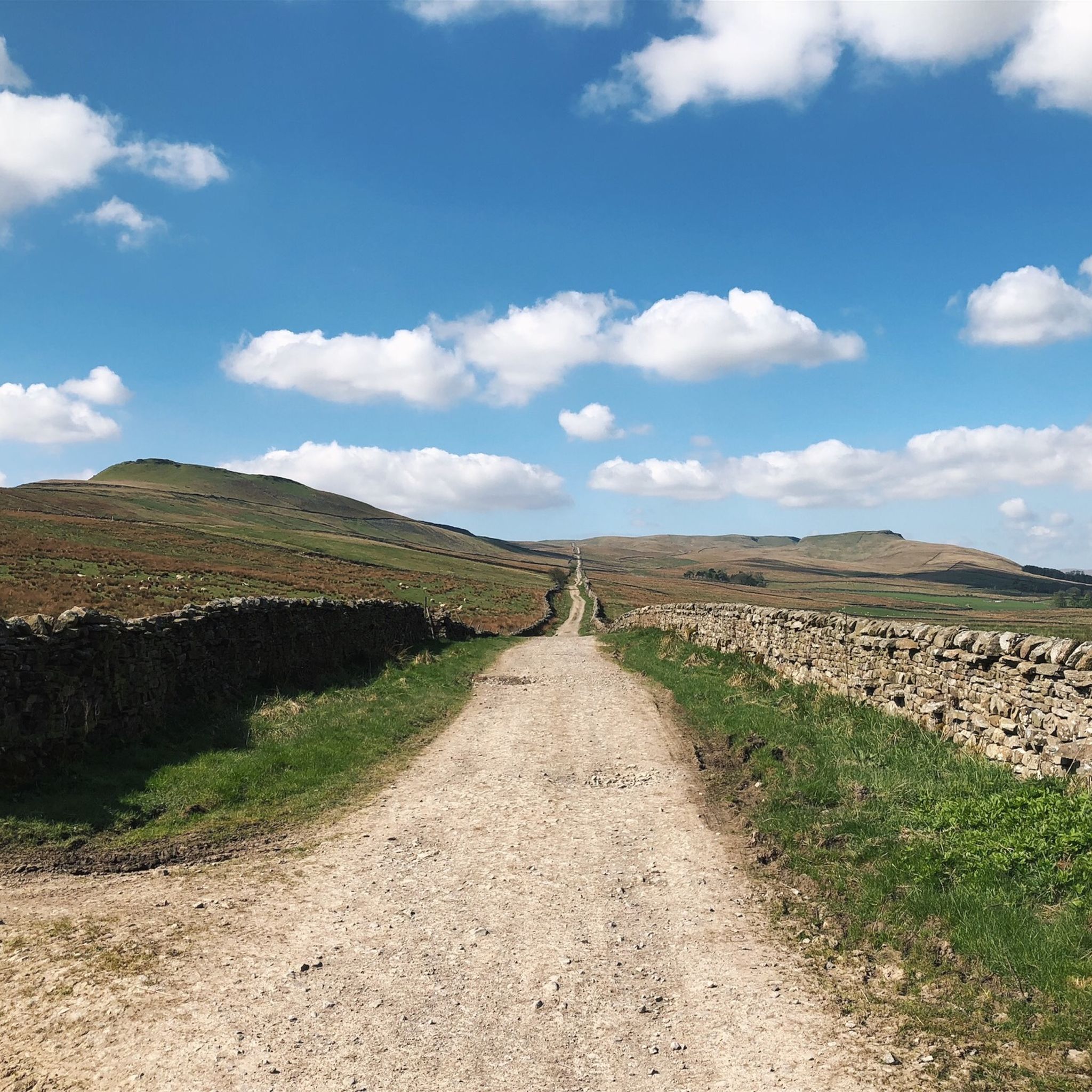
Running Trails in North Yorkshire
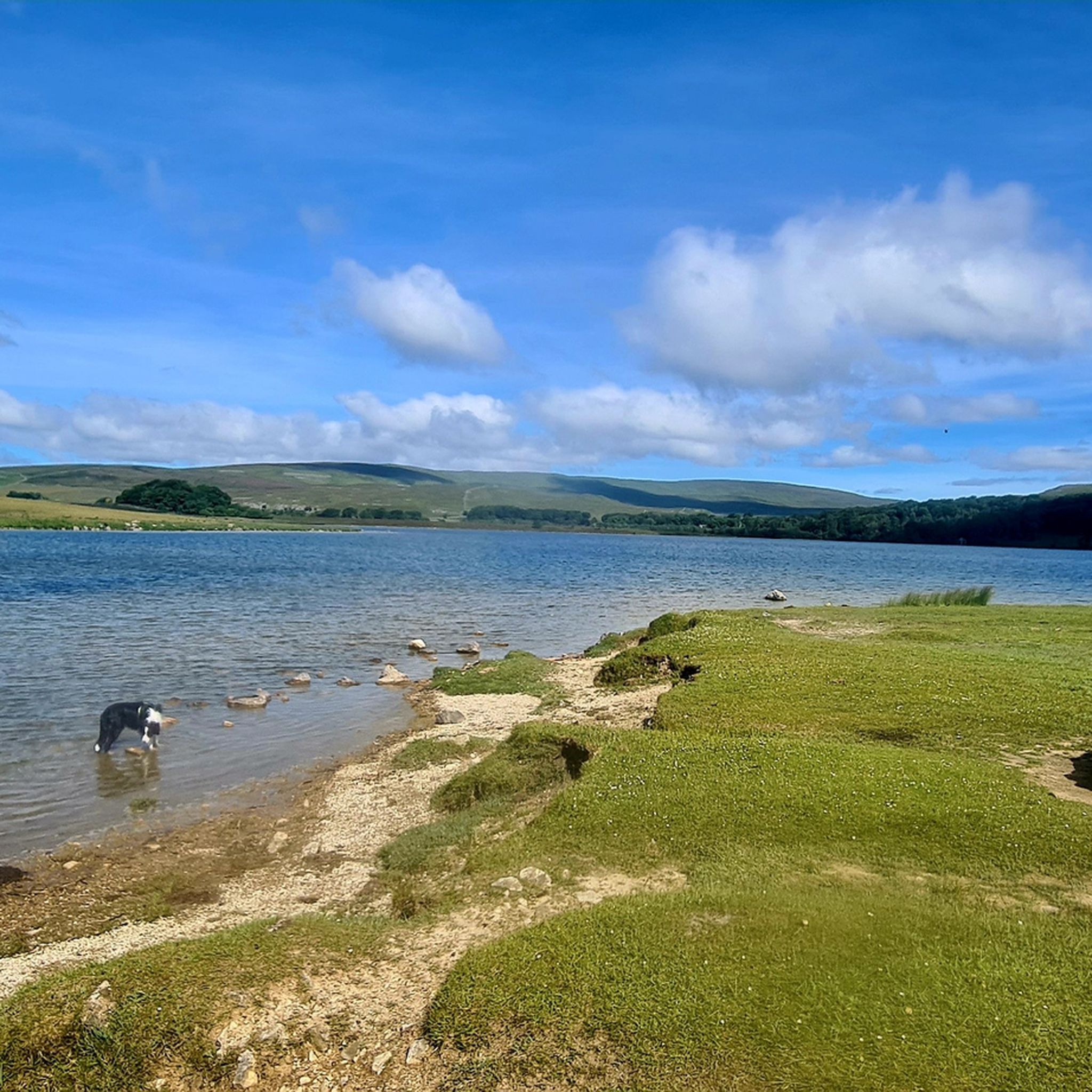
Running Trails in Craven
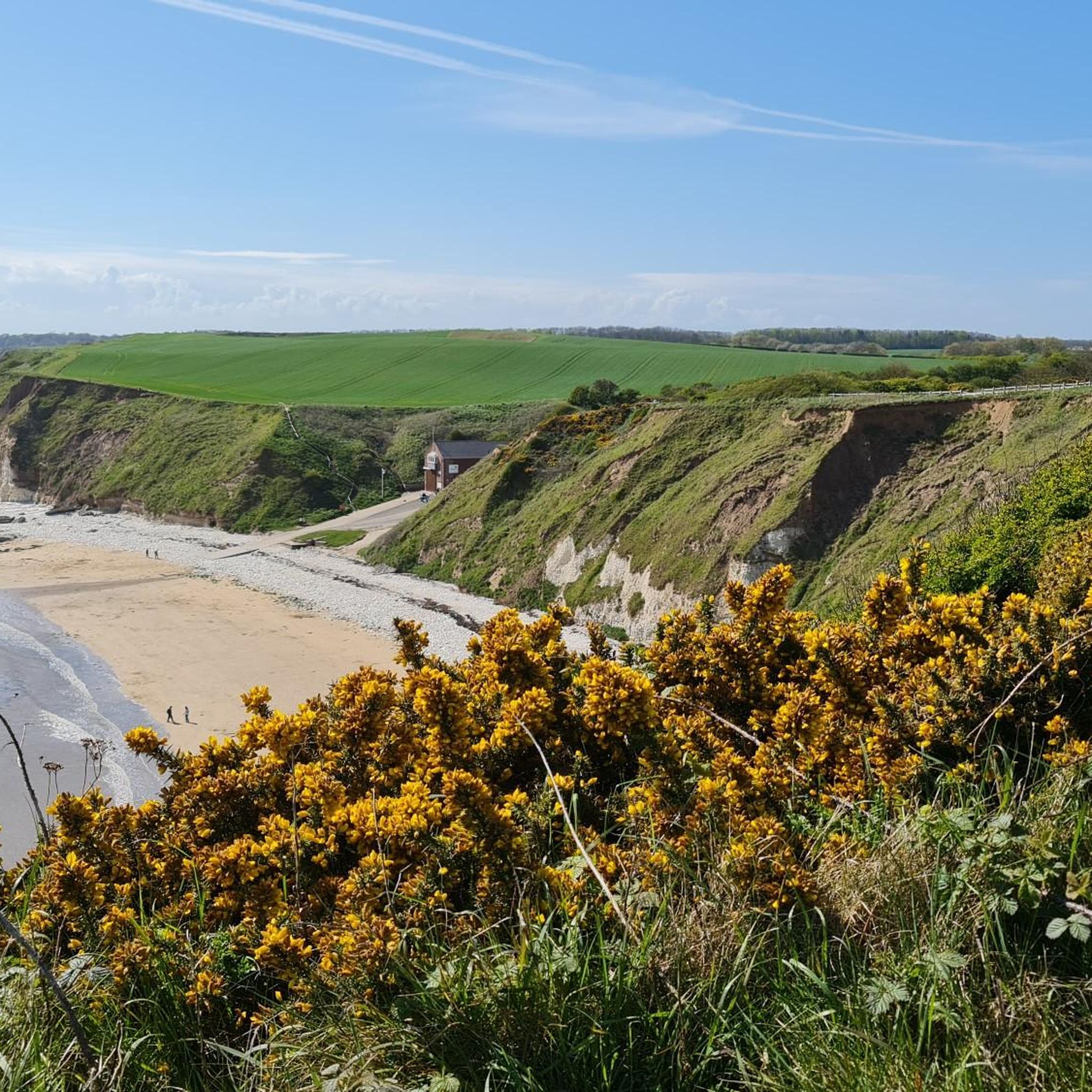
Running Trails in East Riding of Yorkshire
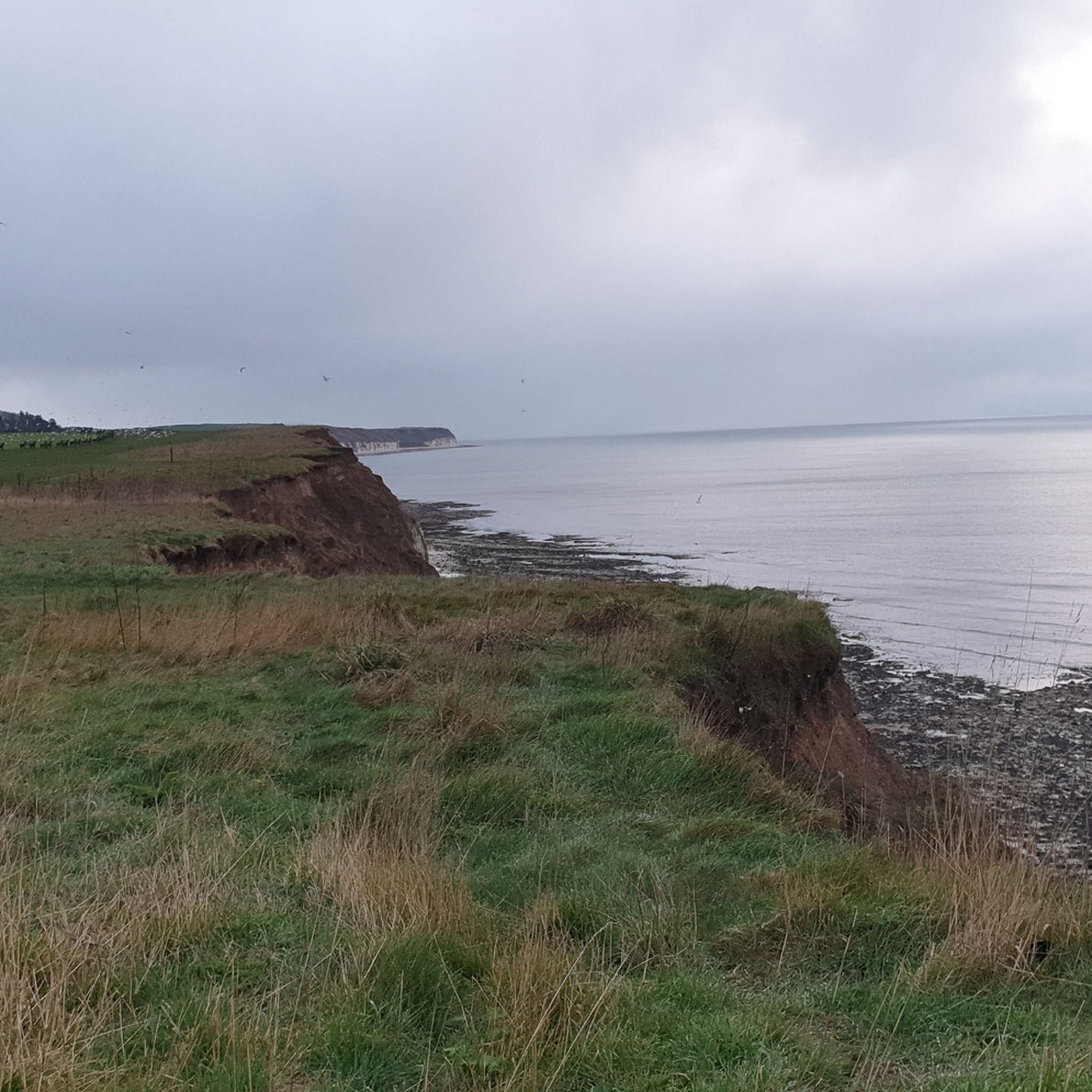
Running Trails around Bridlington
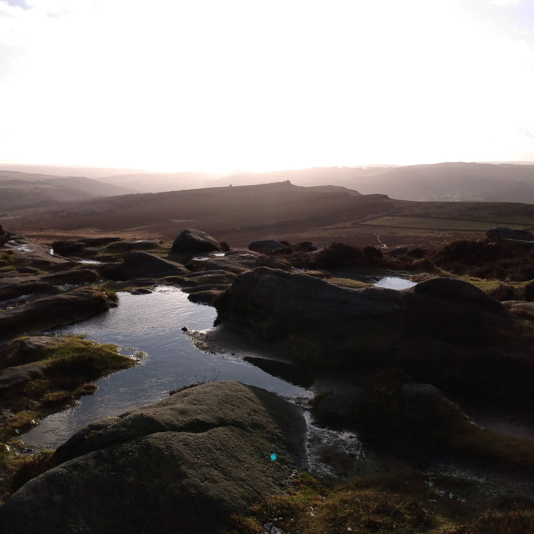
Running Trails around Sheffield
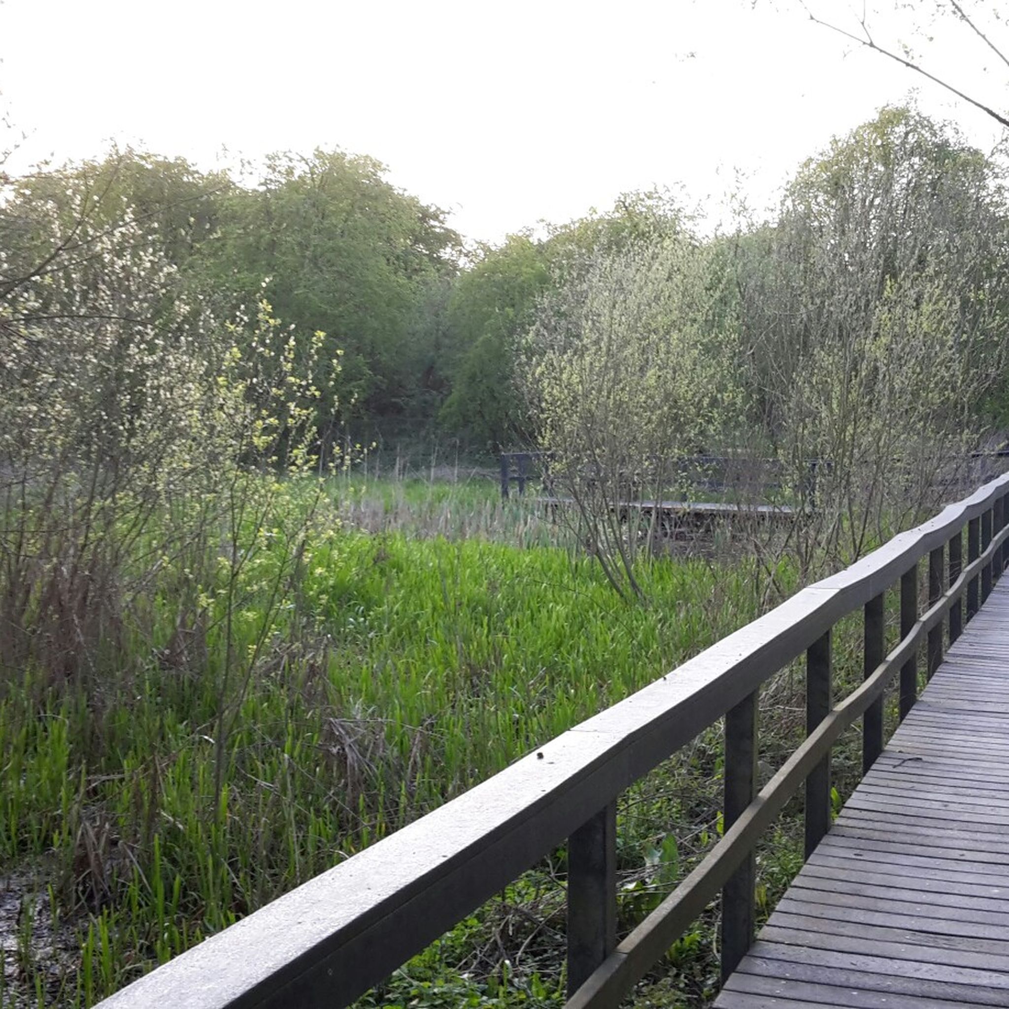
Running Trails around Leeds
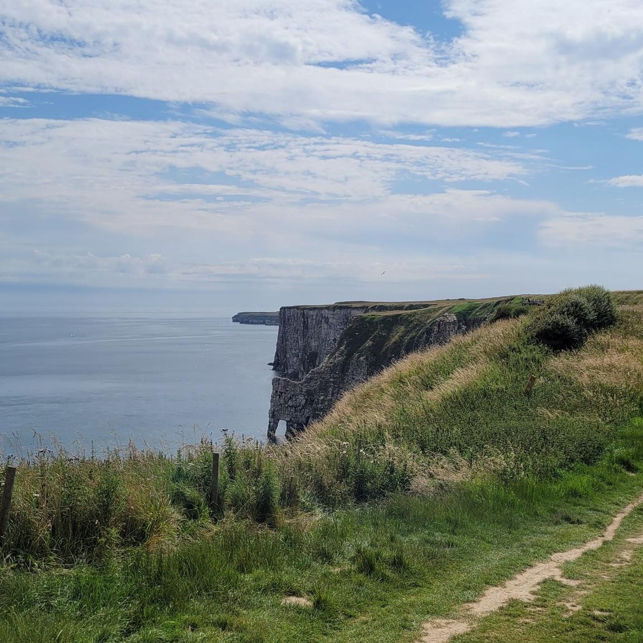
Running Trails around Bempton
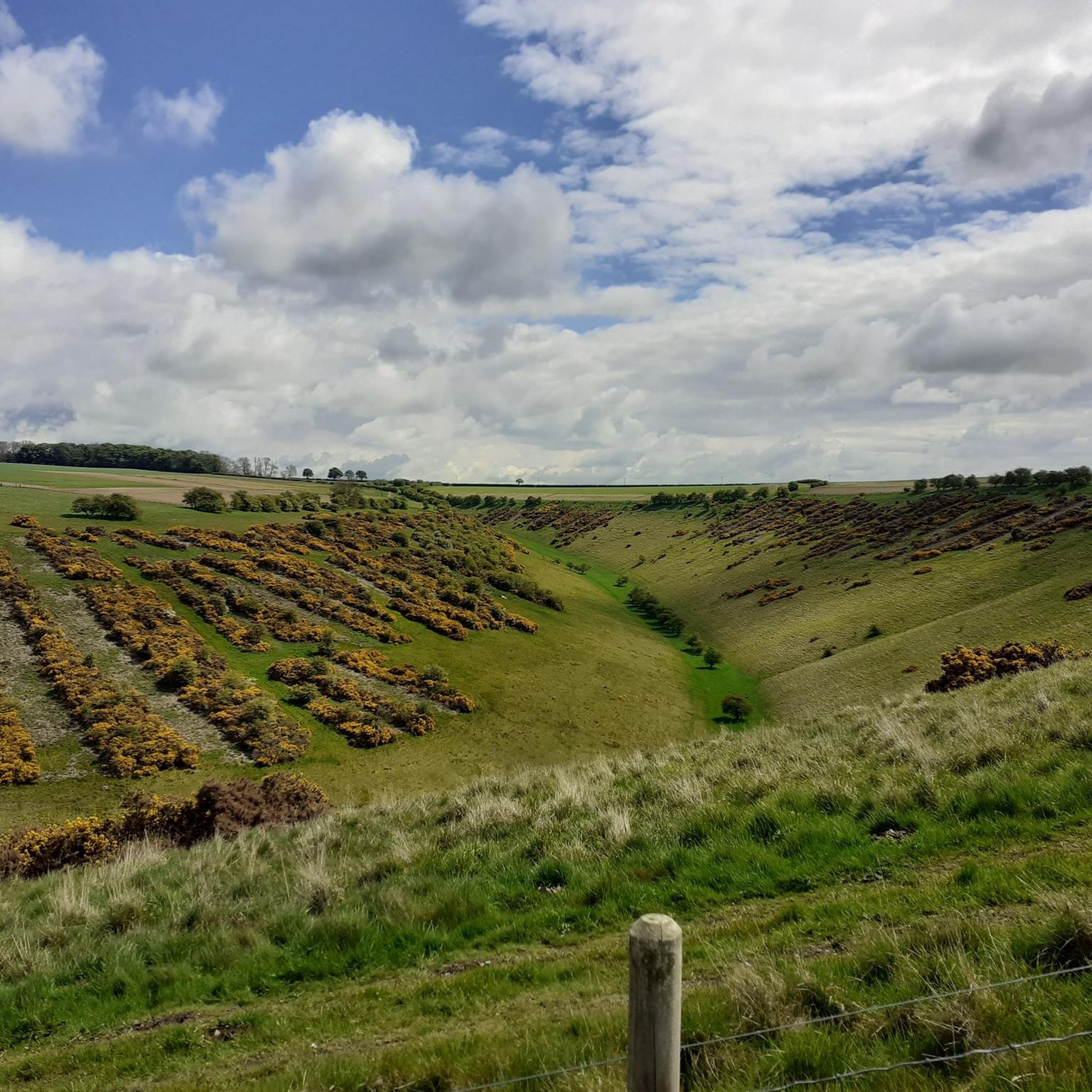
Running Trails around York
Running Trails around Beverley
Running Trails around Bradford
Other adventures in Yorkshire And The Humber


Tips from the Community

Scramble at the top, steep take your time if this is the first of the Three Yorkshire peaks. Nice steady walk down which is a nice grade
0
0

Part of the Yorkshire 3 Peaks and offers stunning views, can be a bit of a scramble to get to the top but worth the effort
0
0
Offer good views down into the valley in-between Burbage edge and higgor tor
0
0

Bolton Abbey is the ruins of a 12th century Augustinian Monastery which was known as Bolton Priory. It was closed in 1539 as part of Henry VIII dissolution of the monasteries.
1
0

Bolton Abbey founded in the 12th-century. It is an Augustinian monastery, Bolton Priory, and there is a surrounding 26,100-acre estate with loads of lovely walks along the River Wharfe.
0
0

Frequently Asked Questions
How many running routes are available in Yorkshire And The Humber?
Yorkshire And The Humber offers a vast network of running trails, with over 14,600 routes recorded on komoot. These range from easy paths to challenging fell runs, catering to all abilities.
What types of terrain can I expect on running trails in Yorkshire And The Humber?
The region boasts incredibly diverse terrain. You can find everything from the rolling hills and limestone formations of the Yorkshire Dales National Park, open moorlands and dramatic cliffs in the North York Moors, to extensive coastal paths and serene woodlands like Dalby Forest. Expect a mix of riverside paths, challenging hill climbs, and scenic reservoir loops.
Are there any easy or moderate running routes suitable for beginners or a relaxed jog?
Yes, there are many accessible options. For a moderate, scenic run with water and woodland views, consider the Damflask Reservoir loop. Dalby Forest also offers waymarked trails, including a 10km route with mixed terrain, and the Low Dalby Park Run is a moderate 5.5 km option.
Can I find running routes with historical landmarks or interesting sights?
Absolutely. Many routes pass by significant landmarks. For instance, the Beverley loop from Beverley Westwood to Beverley Minster offers a scenic run through the town. In the Yorkshire Dales, you can find routes near impressive natural features like Pen-y-Ghent and Ingleborough summit.
Are there any dog-friendly running trails in the region?
Many trails in Yorkshire And The Humber are dog-friendly, especially in areas like the Yorkshire Dales and the Peak District. For example, the Damflask Reservoir loop is a popular choice for runners with dogs. Always check local signage for specific restrictions, especially in nature reserves or areas with livestock.
What are the best running routes for experiencing the Yorkshire coastline?
The Yorkshire coast offers dramatic scenery for runners. The Whitby & Robin Hood's Bay loop is a challenging 20.7 km trail that combines rugged coastal paths with charming fishing villages. Sections of the Cleveland Way also provide excellent coastal running opportunities.
Are there any running routes that feature waterfalls?
The Yorkshire Dales National Park is renowned for its striking waterfalls. While specific running routes directly to waterfalls aren't listed in the guide, many trails in the Dales, such as those around Wensleydale or Nidderdale, will bring you close to these picturesque natural features. Janet's Foss is a notable waterfall highlight in the region.
What do other runners say about the trails in Yorkshire And The Humber?
The running routes in Yorkshire And The Humber are highly rated by the komoot community, with an average score of 4.5 stars from over 1,200 reviews. Runners frequently praise the diverse landscapes, from challenging fell runs to serene woodland paths, and the stunning natural beauty of the national parks and coastline.
Are there any circular running routes in South Yorkshire?
Yes, South Yorkshire offers several circular routes. The Damflask Reservoir loop is a popular moderate 6.2 km circular path near Sheffield. Another option is the Sheffield Five Weirs loop from Meadowhall, a moderate 14.8 km route.
Where can I find challenging trail running experiences in Yorkshire?
For a truly challenging experience, the Three Peaks Challenge — Yorkshire Dales National Park is a difficult 40.6 km trail traversing iconic fells with panoramic views. Another demanding option is the Simon's Seat & River Wharfe loop from Bolton Abbey, a difficult 18.4 km route with significant elevation.
Are there any running routes in the Peak District that extend into Yorkshire?
Yes, a portion of the Peak District National Park extends into Yorkshire, offering excellent running opportunities. The Higger Tor & Burbage Edge loop from Longshaw is a moderate 8.3 km route that provides stunning views typical of the Peak District landscape.
What are the best times of year for running in Yorkshire And The Humber?
The best time largely depends on your preference. Spring and autumn offer pleasant temperatures and beautiful scenery, with vibrant wildflowers or rich autumnal colours. Summer is ideal for longer days and exploring coastal paths, though some moorland trails can be exposed. Winter running can be rewarding, especially in lower elevations or forests, but requires appropriate gear for potentially wet or icy conditions, particularly in the national parks.
Most popular routes in Yorkshire And The Humber
Most popular attractions in Yorkshire And The Humber

Get inspired with the komoot mobile app


Didn’t find what you were looking for?
Check out more Running Trails & Routes throughout Yorkshire And The Humber below and find the perfect route in your destination.
Explore more
Browse the best Running Trails & Routes in other regions.
