The best MTB trails in Yorkshire And The Humber
4.4
(5719)
39,458
riders
2,369
rides
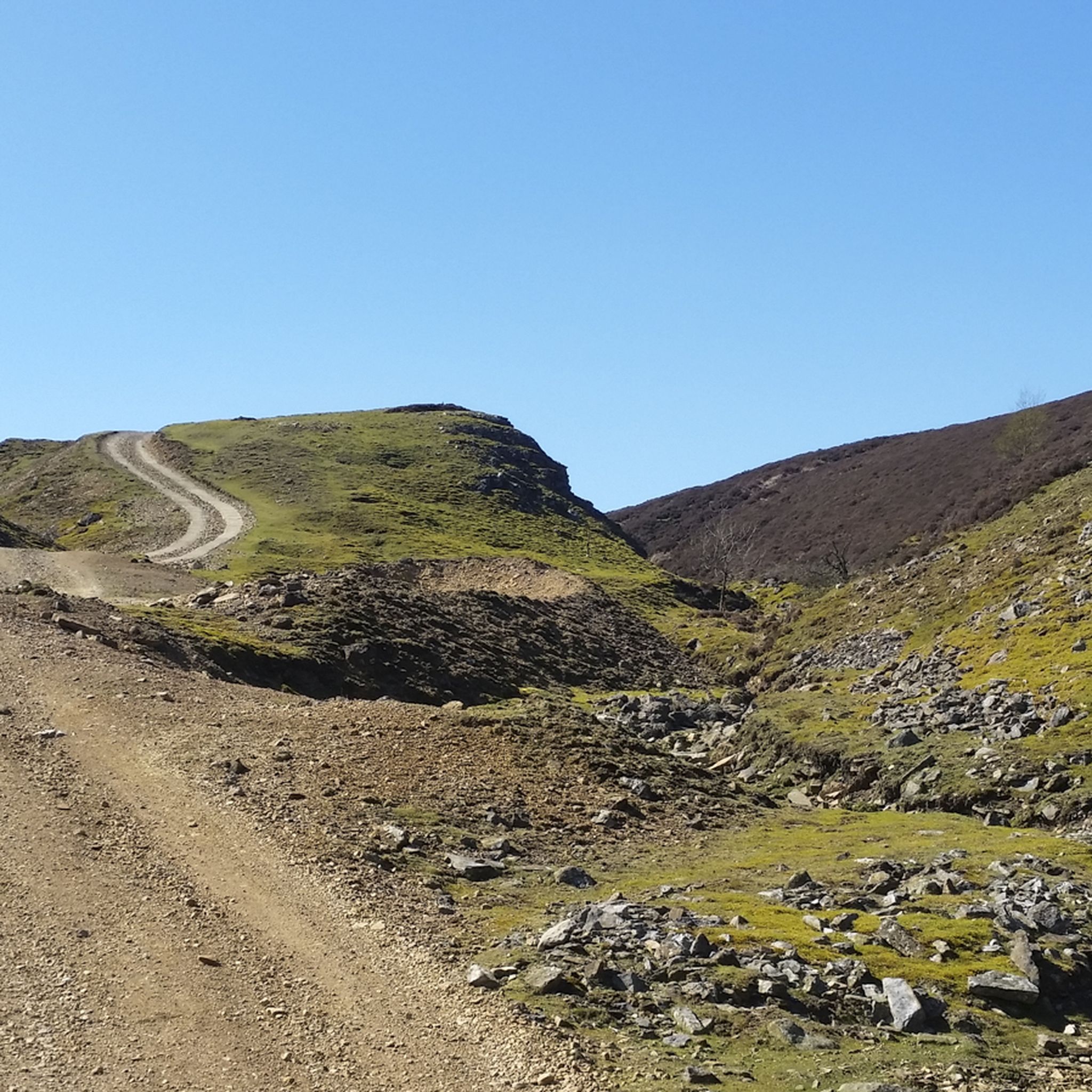
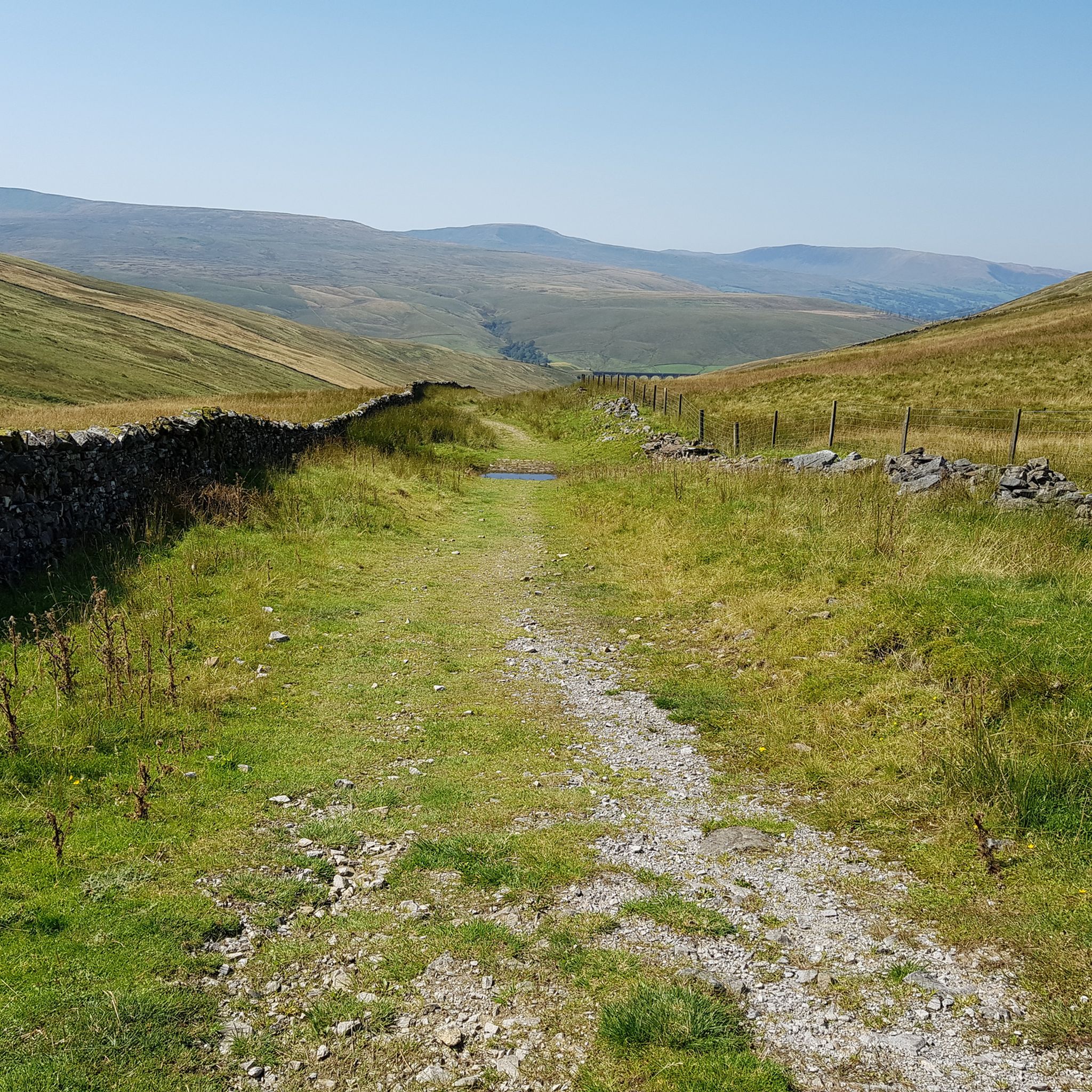
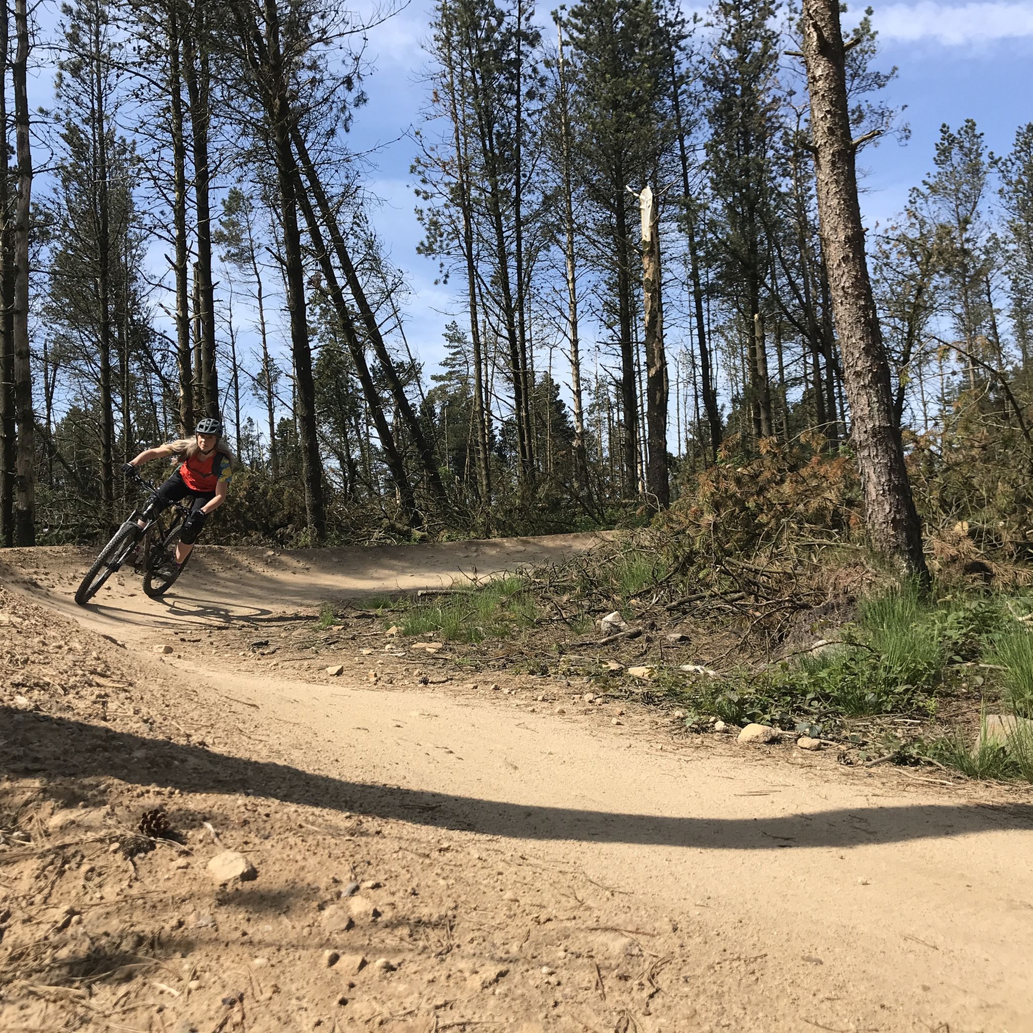
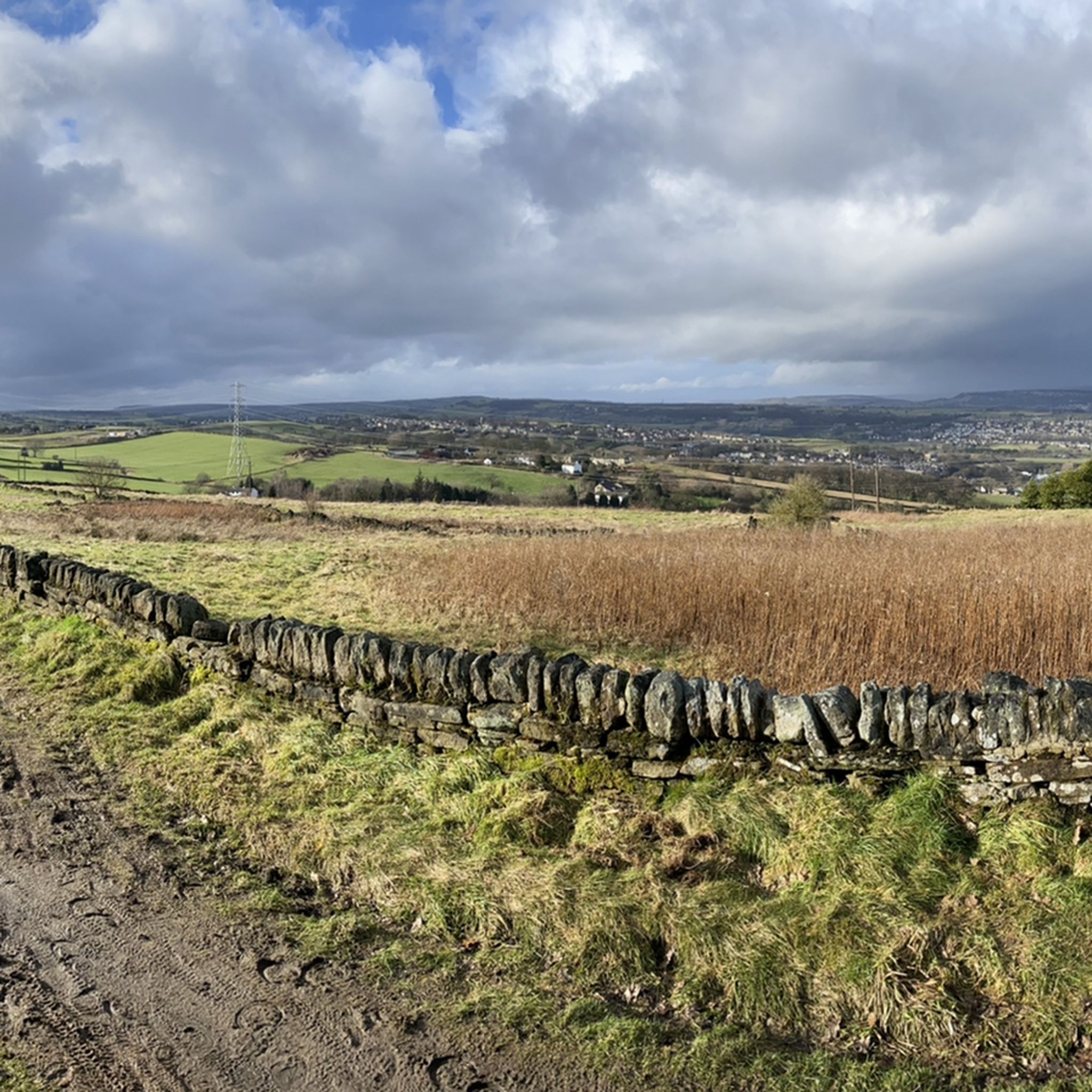
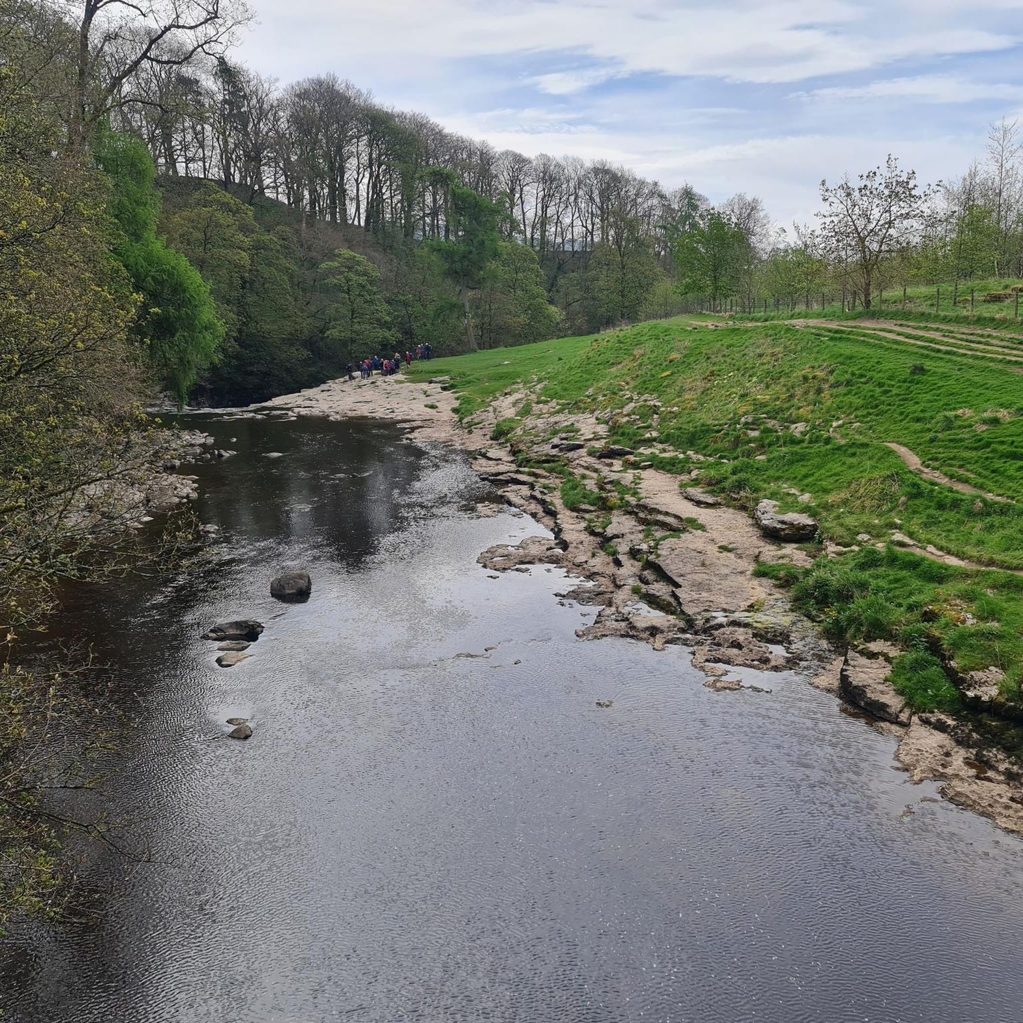
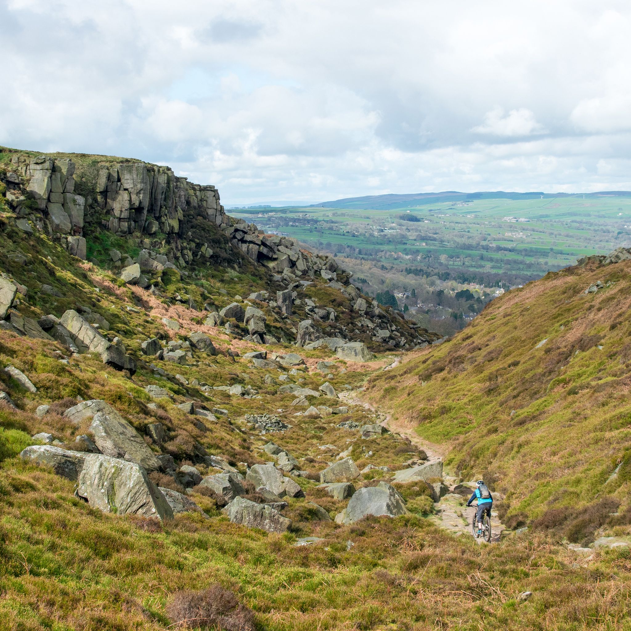
Mountain biking in Yorkshire And The Humber offers diverse landscapes, from vast heather-covered moorland to ancient woodlands and dramatic dales. The region features three National Parks, including the Yorkshire Dales and North York Moors, providing varied terrain for mountain bike trails. Riders can explore purpose-built trail centers and extensive networks of bridleways and green lanes. The varied geography supports a wide range of mountain biking experiences.
Best mountain bike trails in Yorkshire And The Humber
- The most popular mountain bike…
Last updated: October 10, 2026
4.8
(145)
1,591
riders
36.3km
03:15
530m
530m
Hard mountain bike ride. Good fitness required. Advanced riding skills necessary. Some portions of the route may require you to push your bike.
4.8
(144)
1,578
riders
35.8km
03:11
490m
490m
The Dalby Forest Red loop offers a challenging mountain biking experience through varied woodland on the southern slopes of the North York Moors National Park. This difficult 22.2-mile (35.8 km)…

4.6
(76)
567
riders
29.2km
02:35
480m
480m
Moderate mountain bike ride. Good fitness required. Advanced riding skills necessary.
4.8
(52)
400
riders
63.2km
05:54
1,410m
1,410m
This difficult mountain biking loop takes you through the dramatic landscapes of the Peak District, covering 39.3 miles (63.2 km) with a significant 4619 feet (1408 metres) of elevation gain.…
4.8
(72)
530
riders
10.7km
00:56
170m
170m
Easy mountain bike ride. Great for any fitness level. Suitable for all skill levels.
4.5
(21)
238
riders
15.0km
01:26
260m
260m
Easy mountain bike ride. Great for any fitness level. Suitable for all skill levels.
4.7
(27)
196
riders
24.1km
02:01
520m
520m
Embark on the Tour of Nidderdale, a classic mountain biking route that takes you through the diverse landscapes of the Nidderdale National Landscape. This moderate 15.0-mile (24.1 km) ride features…
4.8
(31)
127
riders
39.2km
03:19
730m
730m
Embark on a moderate mountain biking adventure through the stunning Yorkshire Dales National Park. This section of the Great North Trail covers 24.4 miles (39.2 km) and features a diverse…
5.0
(5)
90
riders
72.0km
06:54
1,620m
1,620m
The Mary Towneley Loop, a challenging part of the Pennine Bridleway, offers a demanding mountain biking experience across 44.8 miles (72.0 km) with a significant 5304 feet (1616 metres) of…
4.5
(28)
137
riders
22.6km
01:53
410m
410m
Embark on the Bingley Bash, a popular mountain bike loop that takes you through the varied Yorkshire countryside. This moderate route covers 14.1 miles (22.6 km) with 1361 feet (415…
Get access to more routes and recommendations from other explorers.
Already have an account?
Our route recommendations are based on thousands of hikes, rides, and runs completed by other people on komoot.
Start today with a free account
Your next adventure awaits.
Popular around Yorkshire And The Humber
Other adventures in Yorkshire And The Humber


Tips from the Community

The stone arch bridge at Beaumont Clough is a picturesque, historic crossing located in the valley on the south side of the Calder Valley, between Todmorden and Hebden Bridge. Its situated a few metres off the Pennine way near Callis and overlooks Horsehold Wood. The bridge is historically linked to 16th-century iron working in the area.
0
0

Lots of great walks to the Stoodley Pike monument to give great views across Calderdale and the South Pennines
0
0

Typical Yorkshire lanes , great views can be loose in places , watch your speed
1
0
Can you ride over it both ways without falling off 😎 hold your nerves , perfectly rideable in both directions
0
0

Now with a new gate to the lower section, spoils the descent but at least it provides a great view of the Reservoir and a chance for a photo
3
0


Fantastic cafe and bike shop. The have a workshop upstairs and a great variety of products. Their rental bikes look rad for tackling the local routes!
0
0

Frequently Asked Questions
How many mountain bike trails are available in Yorkshire And The Humber?
Yorkshire And The Humber offers a vast network of mountain biking opportunities, with over 2,500 routes available on komoot. These range from easy, family-friendly rides to challenging, difficult trails across diverse landscapes.
Are there easy mountain bike trails suitable for beginners or families?
Yes, Yorkshire And The Humber has many easy trails perfect for beginners and families. For a gentle introduction to mountain biking, consider the Blue Jubilee Trail — Intro to Mountain Biking in Dalby Forest, which is just over 10 km long. Another accessible option in Dalby Forest is the Newclose Rigg RED Trail. The region's purpose-built trail centers, like Dalby Forest, are excellent for finding well-maintained, less technical routes.
Where can I find challenging mountain bike routes in Yorkshire And The Humber?
For experienced riders seeking a challenge, Yorkshire And The Humber offers several demanding routes. The Full Red Trail — Dalby Forest is a difficult 36 km route through extensive forest trails. Another option is the Langsett Reservoir, Cut Gate and Ladybower Reservoir loop, a 63 km trail leading through varied reservoir and moorland landscapes, often completed in about 6 hours.
Are there mountain bike trails with scenic viewpoints?
Many mountain bike trails in Yorkshire And The Humber offer stunning viewpoints, thanks to the region's dramatic landscapes. The North York Moors, for example, feature sweeping views from locations like the Hole of Horcum. Trails around Sutton Bank, such as the Paradise Trail (red), are known for vistas described as 'the finest in England'. The Yorkshire Dales also provide panoramic views, especially around the iconic Yorkshire Three Peaks.
What kind of natural attractions or landmarks can I see while mountain biking?
Yorkshire And The Humber is rich in natural and historical landmarks. While riding, you might encounter impressive geological formations like Malham Cove or the dramatic Gordale Scar in the Yorkshire Dales. The region also features beautiful bodies of water such as Langsett Reservoir and Malham Tarn. Along the coast, you can find the towering white cliffs of Flamborough Head. For historical interest, Whitby Harbour is a notable highlight.
Are there circular mountain bike routes in the region?
Yes, many mountain bike routes in Yorkshire And The Humber are circular, allowing you to start and finish in the same location. Examples include the Tour of Nidderdale, a moderate 24 km loop, and the Bingley Bash — Bingley and Cullingworth loop. Purpose-built trail centers like Dalby Forest also offer several well-marked circular loops.
What do other mountain bikers enjoy most about the trails in Yorkshire And The Humber?
The komoot community highly rates mountain biking in Yorkshire And The Humber, with an average score of 4.4 stars from over 4,900 reviews. Riders often praise the diverse landscapes, from the heather-covered moorlands of the North York Moors to the challenging dales of the Peak District. The variety of trails, catering to all skill levels, and the well-maintained purpose-built centers like Dalby Forest are frequently highlighted.
Are there mountain bike trails suitable for wet weather conditions?
While natural trails can become very muddy in wet weather, purpose-built trail centers like Dalby Forest and Sutton Bank often feature all-weather surfaces designed to hold up better in damp conditions. These centers provide a more reliable option for mountain biking when the weather is less favorable, ensuring a more enjoyable and safer ride.
Where can I find mountain bike trails in the Yorkshire Dales?
The Yorkshire Dales National Park offers extensive opportunities for mountain biking, with numerous bridleways and green lanes. A notable route is the Great North Trail: Yorkshire Dales, a moderate 39 km trail that showcases the park's iconic scenery. The Dales are characterized by lush valleys, winding rivers, and impressive geological formations, providing a unique backdrop for your ride.
Are there long-distance mountain bike routes in the region?
For those looking for longer adventures, Yorkshire And The Humber offers routes that cover significant distances. The Mary Towneley Loop — Pennine Bridleway is a challenging 72 km route, part of the wider Pennine Bridleway network, offering an immersive experience through varied terrain. These longer routes often traverse multiple landscapes, from moorland to dales.
Most popular routes in Yorkshire And The Humber
Most popular attractions in Yorkshire And The Humber

Get inspired with the komoot mobile app


Didn’t find what you were looking for?
Check out more MTB trails throughout Yorkshire And The Humber below and find the perfect route in your destination.
Explore more
Browse the best MTB trails in other regions.
