The best road cycling routes around Sanchorreja
5.0
(2)
298
riders
14
rides
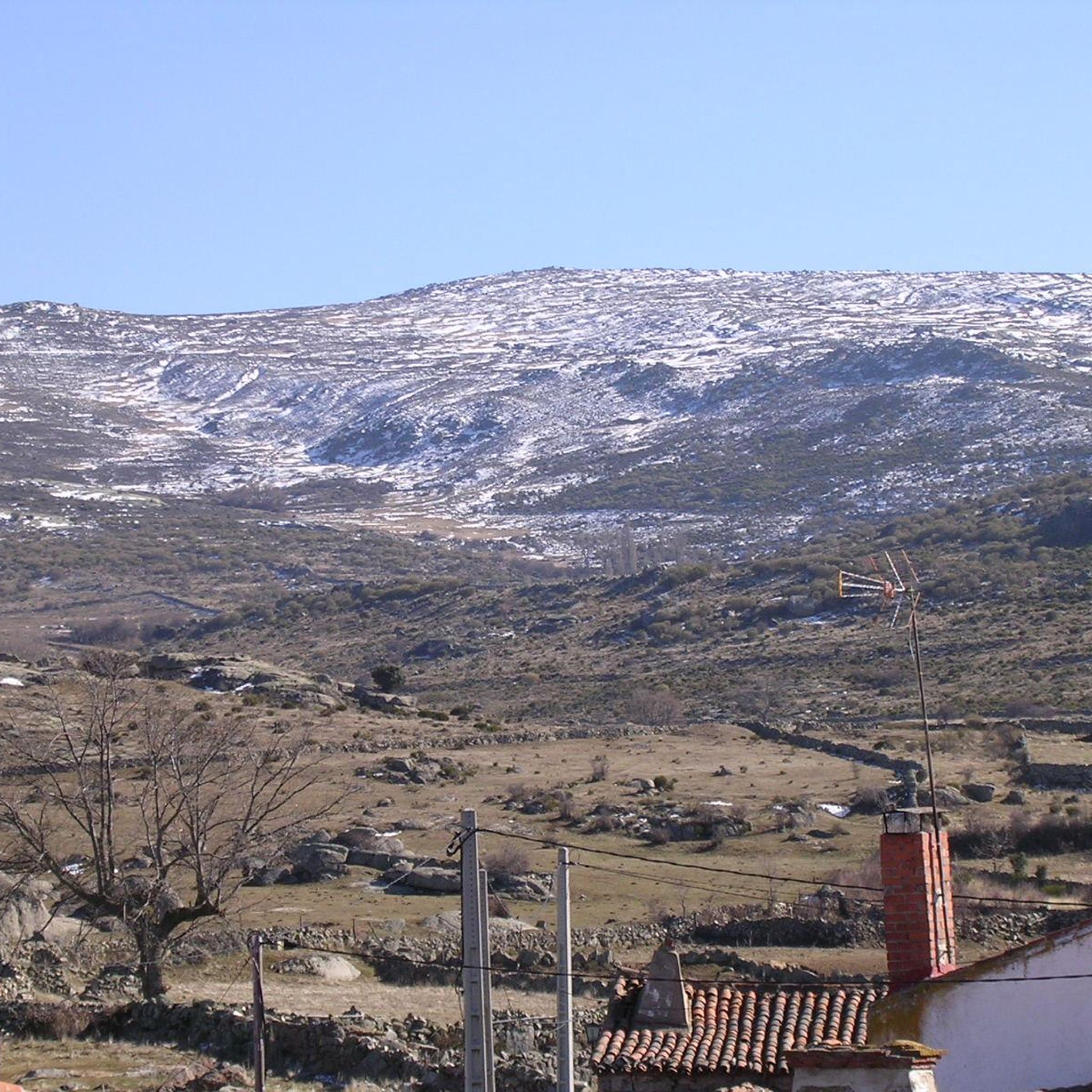
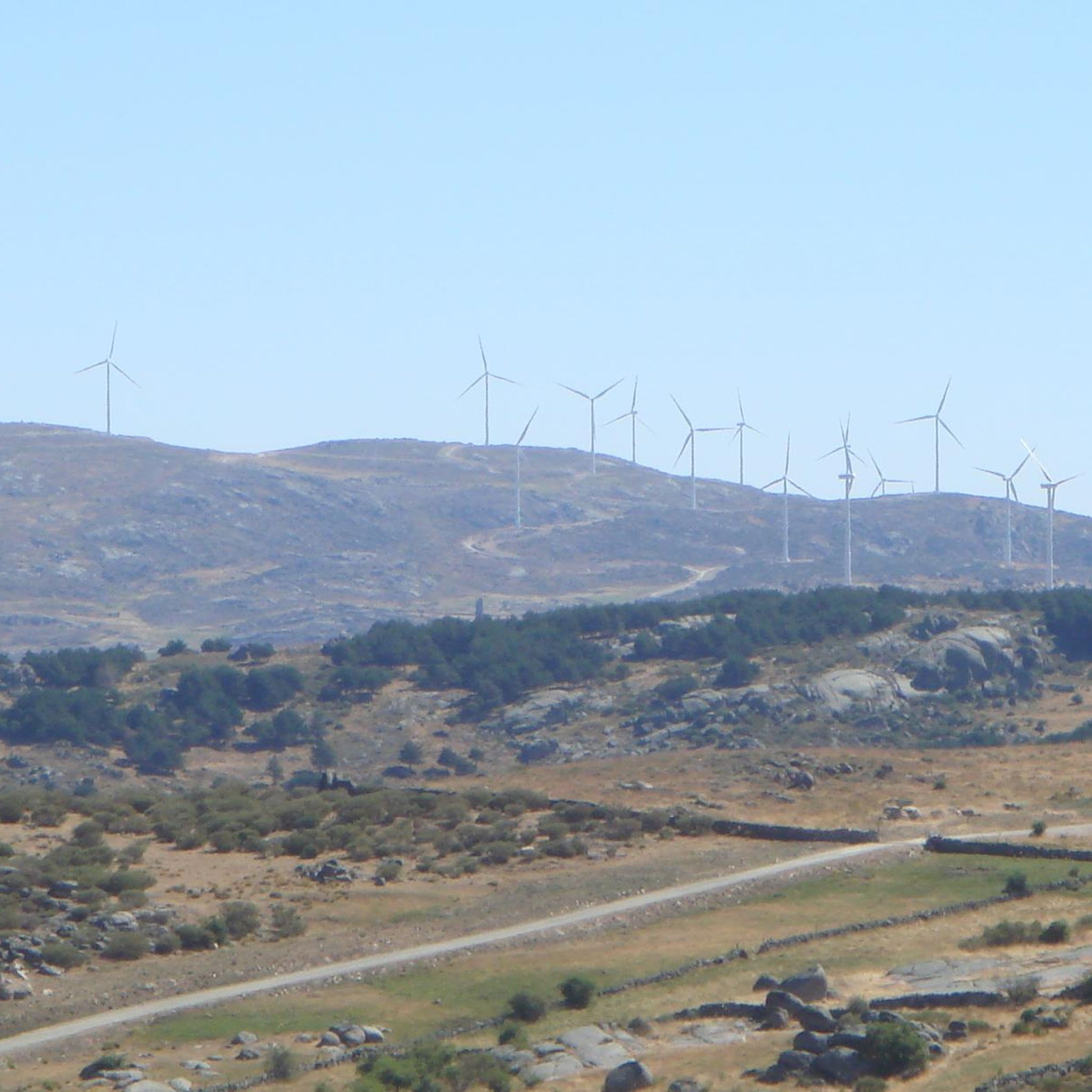
Road cycling routes around Sanchorreja are situated in the Sierra de Ávila, a mountain range in the center of the Iberian Peninsula. The region features varying elevations, with Sanchorreja itself at approximately 1310 meters, providing access to diverse landscapes. Cyclists can expect well-paved country roads that wind through mountainous terrain, offering both challenging climbs and scenic descents. The area is characterized by its position as a gateway to the broader natural attractions of the Ávila province, including parts of the…
Last updated: June 28, 2026
40
riders
62.1km
02:56
660m
660m
Moderate road ride. Good fitness required. Mostly well-paved surfaces and easy to ride.
33
riders
66.4km
02:56
460m
460m
Moderate road ride. Good fitness required. Mostly well-paved surfaces and easy to ride.

Sign up for free
5.0
(1)
26
riders
42.7km
02:07
360m
360m
Moderate road ride. Good fitness required. Mostly well-paved surfaces and easy to ride.
50
riders
37.7km
01:43
290m
280m
Moderate road ride. Great for any fitness level. Some segments of this route may be unpaved and difficult to ride.
26
riders
36.3km
01:31
160m
160m
Easy road ride. Great for any fitness level. Mostly well-paved surfaces and easy to ride.
Get access to more routes and recommendations from other explorers.
Sign up for free
Already have an account?
Our route recommendations are based on thousands of hikes, rides, and runs completed by other people on komoot.
Start today with a free account
Your next adventure awaits.
Login or Signup
Popular around Sanchorreja

Tips from the Community

The Sancti Spiritus Bridge in Ávila is a historic structure that crosses the Chico River, very close to the Chico River Park. It is a medieval-style stone bridge, probably linked to the ancient Monastery of Sancti Spiritus, founded in the 13th century.
1
0
The park extends between the bridge over the Chico River, the extension of Nuestra Señora de Sonsoles Street, and the Burgohondo road bridge, bordering Juan Pablo II Avenue. One of the most popular routes is the circular route from the Roman Bridge over the Adaja River, ideal for easy walks and enjoying the park's natural surroundings.
1
0
The Walls of Ávila are an impressive medieval fortification that surrounds the old town of Ávila, in Castile and León. These walls, built in the 11th century, are one of the best-preserved walled enclosures in Spain and were declared a UNESCO World Heritage Site in 1985.
11
0
This bridge was built to facilitate crossing the Adaja River and connect the Roman city of Ávila with the opposite bank. Although only the hidden abutments on the edges of the original Roman bridge remain, the bridge visible today dates back to the 12th century.
13
0

The bridge is nice, the area not so much.
0
1
In the southwest area of the city.
0
1
The truth is that it is a wonderful viewpoint of Ávila.
1
0
One of the most visited areas of the walls.
4
0
Frequently Asked Questions
How many road cycling routes are available around Sanchorreja?
There are 7 road cycling routes around Sanchorreja, offering a variety of experiences. These include 2 easy routes, 4 moderate routes, and 1 difficult route, catering to different skill levels.
What kind of terrain can I expect on road cycling routes near Sanchorreja?
The terrain around Sanchorreja is primarily mountainous, situated in the Sierra de Ávila and providing access to the Sierra de Gredos. Cyclists can expect well-paved country roads with varying elevations, offering both challenging climbs and scenic descents through picturesque landscapes.
Are there any easy road cycling routes suitable for beginners or families?
Yes, there are 2 easy road cycling routes. One option is the Muñogalindo loop from La Colilla, which is 22.5 miles (36.3 km) long. Another easy route is the Río Chico Park – Sancti Spiritu Bridge loop from La Colilla, covering 18.4 miles (29.6 km).
What is the most challenging road cycling route in the Sanchorreja area?
The most challenging route is the Las Fuentes Pass – Puerto de Villatoro loop from La Torre. This difficult route spans 55.9 miles (89.9 km) and features significant elevation gains, making it suitable for experienced cyclists.
What are some notable landmarks or points of interest along the cycling routes?
Along the routes, you might encounter charming settlements like Cardeñosa, Aveinte, and Muñogalindo. The Las Fuentes Pass is also a significant feature on some routes, offering scenic views.
What do other cyclists say about road cycling in Sanchorreja?
The routes in Sanchorreja are highly rated by the komoot community, with an average score of 5.0 stars. Cyclists often praise the varied terrain, from moderate loops to difficult routes with substantial elevation, and the well-maintained country roads that wind through the mountainous Sierra de Ávila.
Are there any circular road cycling routes available?
Yes, many of the routes around Sanchorreja are designed as loops. For example, the popular Convento de San José – Views of Ávila loop from Muñogalindo and the Sancti Spiritu Bridge – Views of Ávila loop from Padiernos are both circular routes.
What is the best time of year for road cycling around Sanchorreja?
The region's mountainous character suggests that spring and autumn would be ideal for road cycling, offering pleasant temperatures and avoiding the extremes of summer heat or winter cold. The well-paved country roads are generally accessible, but checking local weather conditions is always recommended.
Are there opportunities for challenging climbs in the Sanchorreja area?
Absolutely. The Sierra de Ávila and nearby Sierra de Gredos are known for their challenging climbs. Routes like the Las Fuentes Pass – Puerto de Villatoro loop from La Torre feature significant elevation gains and mountain passes, providing demanding experiences for advanced cyclists.
Can I find places to eat or stay near the cycling routes in Sanchorreja?
Sanchorreja is a small municipality, but the broader Ávila province offers various amenities. While Sanchorreja itself might have limited options, nearby towns and villages within the province will provide cafes, restaurants, and accommodation for cyclists exploring the region.
What are the typical distances and durations for road cycling routes here?
The routes vary significantly in length and duration. You can find shorter routes like the Río Chico Park – Sancti Spiritu Bridge loop from La Colilla at 18.4 miles (29.6 km) taking about 1 hour 36 minutes, up to longer, more demanding rides such as the Las Fuentes Pass – Puerto de Villatoro loop from La Torre, which is 55.9 miles (89.9 km) and typically takes around 4 hours 42 minutes.
Is Sanchorreja well-connected by public transport for cyclists?
Sanchorreja is a small village in the Sierra de Ávila. While specific public transport options directly to Sanchorreja for cyclists might be limited, the broader Ávila province has connections. It's advisable to research local bus services or consider driving to a starting point with ample parking, such as those near the larger towns in the area.
Most popular routes around Sanchorreja
Most popular attractions around Sanchorreja

Get inspired with the komoot mobile app


Explore more
Browse the best Road cycling routes in other regions.
