The best walks and hikes around Sanchorreja
5
hikers
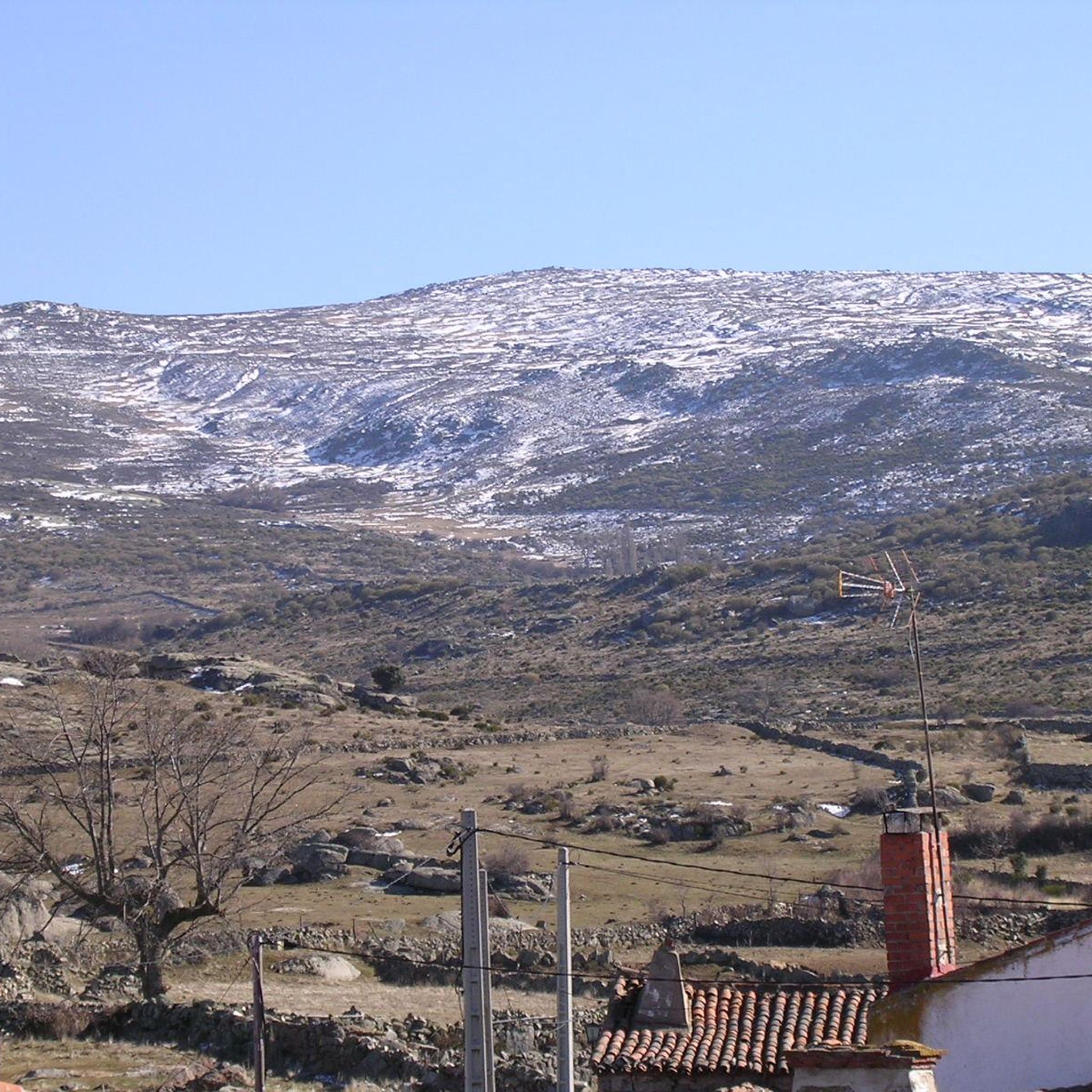
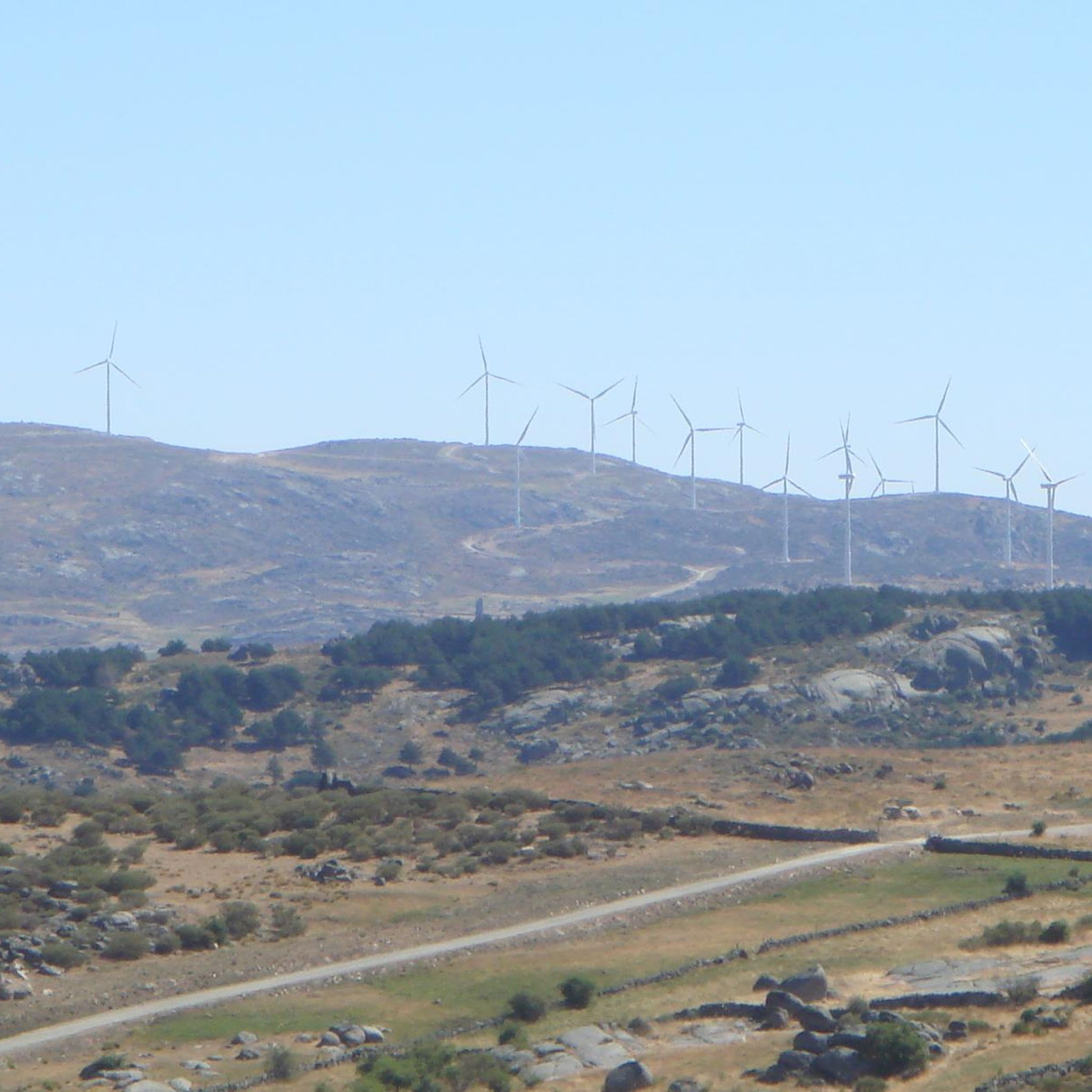
Hiking around Sanchorreja offers access to the natural landscapes of the Sierra de Ávila mountain range in Castile and León, Spain. The region is characterized by hills, rocky outcrops, pastures, and oak groves, providing a diverse environment for outdoor exploration. Situated at an altitude of approximately 1310 meters, Sanchorreja serves as a base for trails that traverse traditional landscapes. Its proximity to the Sierra de Gredos also allows for more extensive hiking opportunities in the broader Ávila region.
Best hiking…
Last updated: July 1, 2026
4
hikers
11.9km
03:15
190m
190m
Hike a moderate 7.4-mile (11.9 km) circular route from Cardeñosa to the historic Castro de Las Cogotas with reservoir views.
16.2km
04:25
240m
240m
Moderate hike. Good fitness required. Mostly accessible paths. Sure-footedness required.

Sign up for free
7.72km
02:07
120m
120m
Hike the Arco de Conejeros from Cardeñosa, a moderate 4.8-mile circular trail exploring ancient crosses and medieval ruins.
1
hikers
5.58km
01:34
110m
110m
Easy hike. Great for any fitness level. Easily-accessible paths. Suitable for all skill levels.
Our route recommendations are based on thousands of hikes, rides, and runs completed by other people on komoot.
Start today with a free account
Your next adventure awaits.
Login or Signup
Popular around Sanchorreja

Tips from the Community

The Castro de Las Cogotas, located in the municipality of Cardeñosa (Ávila), is one of the most emblematic Iron Age archaeological sites on the Iberian Peninsula, especially linked to the Vetton people. It is situated on a hill next to the Adaja River, surrounded by holm oak groves, pastures, and fertile land. This location offered defensive advantages and abundant natural resources. The fort is open to the public and has an Interpretation Center that explains its history and characteristics. Periodic archaeological conferences are also held on the site.
2
0

Three stone crosses located on a rocky outcrop near the Ermita del Berrocal, on the outskirts of Cardeñosa.
1
0
Along the way you reach the ruins of a medieval settlement, with building stones scattered on the ground of which only the main arch of a church remains standing.
2
0

Cardeñosa is the ideal place to stop along the way and have a drink to continue the route. Here is the Castro Interpretation Center
1
0

Nucleus that has a great history behind it not only because Las Cogotas is located closer to the reservoir but also, for example, the Arco toral of the depopulated Conejeros.
1
0
Las Cogotas is an ancient walled enclosure that is currently an important archaeological site located north of the city of Ávila and right next to the Embalse del Castro de Las Cogotas.
0
1

The Arco de Consejeros, located 1 km north of the Castro de las Cogotas, is the main arch of a village church that dates back to the year 1250. A good place to take a break while enjoying the views that surround us.
1
0
Small town close to the capital of the province and characterized by a small building located in the center called Castro de Las Cogotas, an old center made of stone and with a lot of history.
0
0
Frequently Asked Questions
How many hiking trails are available around Sanchorreja?
Komoot features a selection of 4 hiking trails around Sanchorreja, offering various options to explore the Sierra de Ávila region.
Are there easy hiking routes suitable for beginners in Sanchorreja?
Yes, for those seeking an easier option, the Arco de Consejeros loop from Cardeñosa is an easy trail that provides a pleasant walk through the local landscape.
What kind of landscapes can I expect to see on hikes near Sanchorreja?
Hiking around Sanchorreja offers a diverse environment characterized by hills, rocky outcrops (berrocales), pastures, and oak groves (encinares de dehesa) within the Sierra de Ávila. You'll experience traditional landscapes typical of Castile and León.
Are there any circular walks around Sanchorreja?
Yes, several routes are circular. For example, the Castro de las Cogotas Circular Trail and the Yacimiento de las Cogotas — circular desde Cardeñosa both offer loop options for exploring the area.
What natural landmarks or points of interest can I find along the trails?
While hiking, you can explore traditional landscapes and archaeological remains. The Cardeñosa and Arco de Conejeros Trail, for instance, leads past notable rock formations. Nearby settlements like Cardeñosa and Muñogalindo also offer glimpses into local life.
Is Sanchorreja a good base for exploring the wider Ávila region, like Sierra de Gredos?
Yes, Sanchorreja's location within the Sierra de Ávila provides a tranquil base. Its proximity to the majestic Sierra de Gredos Regional Park means you can access more extensive hiking opportunities, including imposing peaks, lush valleys, and high-mountain lakes, though these would require a drive.
Are the hiking trails around Sanchorreja suitable for families with children?
The trails around Sanchorreja generally offer moderate ascents and varied terrain. For families, the easier routes like the Arco de Consejeros loop from Cardeñosa might be more suitable, offering a pleasant outdoor experience without excessive difficulty.
Can I bring my dog on the hiking trails in Sanchorreja?
The natural environment of the Sierra de Ávila, with its oak groves and pastures, is generally welcoming for dog walking. However, it's always advisable to keep dogs under control, especially in areas with livestock or protected wildlife, and to check local regulations for specific trails.
What is the best time of year to go hiking in Sanchorreja?
The region experiences diverse weather. Spring and autumn generally offer the most pleasant conditions for hiking, with milder temperatures and vibrant natural scenery. Summers can be hot, and winters can bring colder temperatures, especially at higher altitudes.
Are there places to eat or stay near the hiking routes in Sanchorreja?
Sanchorreja and nearby villages like Cardeñosa and Aveinte offer local amenities. While Sanchorreja itself is a small municipality, you can find traditional charm and potentially rural accommodations or small eateries in the surrounding area.
What do other hikers enjoy most about hiking in Sanchorreja?
Hikers often appreciate the tranquil exploration of ancient sites and local landscapes, as well as the views of surrounding hills and archaeological remains. The area provides a sense of discovery within the natural environment of the Sierra de Ávila.
Most popular routes around Sanchorreja
Most popular attractions around Sanchorreja

Get inspired with the komoot mobile app


Explore more
Browse the best Hikes in other regions.
