The best running trails around Park Krajobrazowy Doliny Sanu
5.0
(2)
566
runners
20
runs
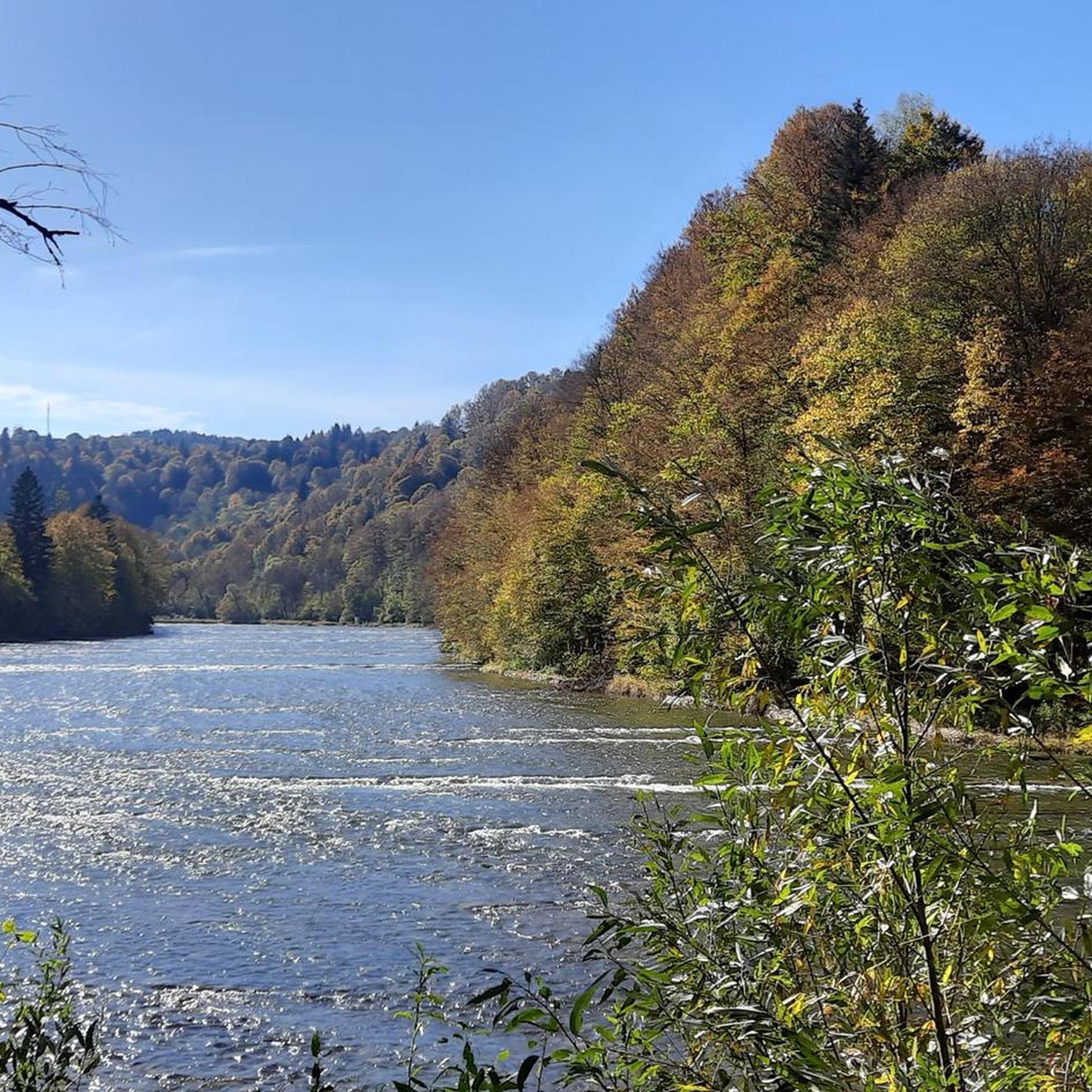
Jogging around Park Krajobrazowy Doliny Sanu offers diverse terrain within the northern Bieszczady Mountains, protecting the picturesque San River valley. The region is characterized by extensive Carpathian beech forests, with many old-growth stands providing shaded paths. Varied landscapes include the serene San River valley, gentle hills, and more challenging mountain slopes of ranges like Otryt and Magura Stuposiańska. This natural environment provides a range of running experiences, from riverside paths to forest trails.
Best jogging routes around Park Krajobrazowy Doliny…
Last updated: July 7, 2026
7
runners
4.42km
00:35
180m
180m
Jog this moderate 2.7-mile loop to the Jeleniowaty Observation Tower for panoramic views of the Bieszczady Mountains and San Valley.
3
runners
17.2km
02:06
540m
540m
Hard run. Very good fitness required. Mostly accessible paths. Some sure footedness required.

Sign up for free
1
runners
15.1km
01:57
520m
520m
Jog the challenging 9.4-mile Pętla Dwernik loop through San Valley Landscape Park, gaining 1698 feet with views of Połonina Caryńska.
1
runners
14.6km
02:13
770m
770m
This difficult 9.1-mile (14.6 km) jogging route in San Valley Landscape Park features Dwernik Kamień views and the Szepity Waterfall.
Hard run. Very good fitness required. Mostly accessible paths. Some sure footedness required.
Get access to more routes and recommendations from other explorers.
Sign up for free
Already have an account?
Our route recommendations are based on thousands of hikes, rides, and runs completed by other people on komoot.
Start today with a free account
Your next adventure awaits.
Login or Signup
Popular around Park Krajobrazowy Doliny Sanu
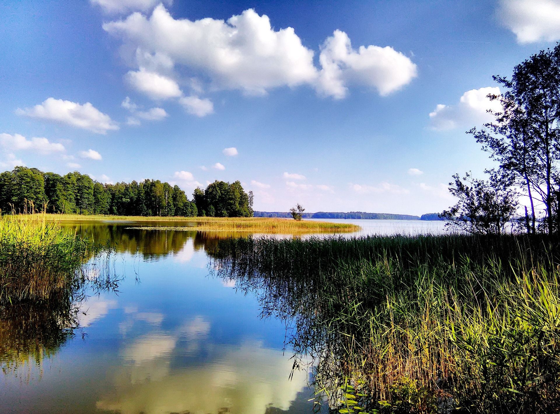
Where Poland's wild soul lives – explore five regions by bike
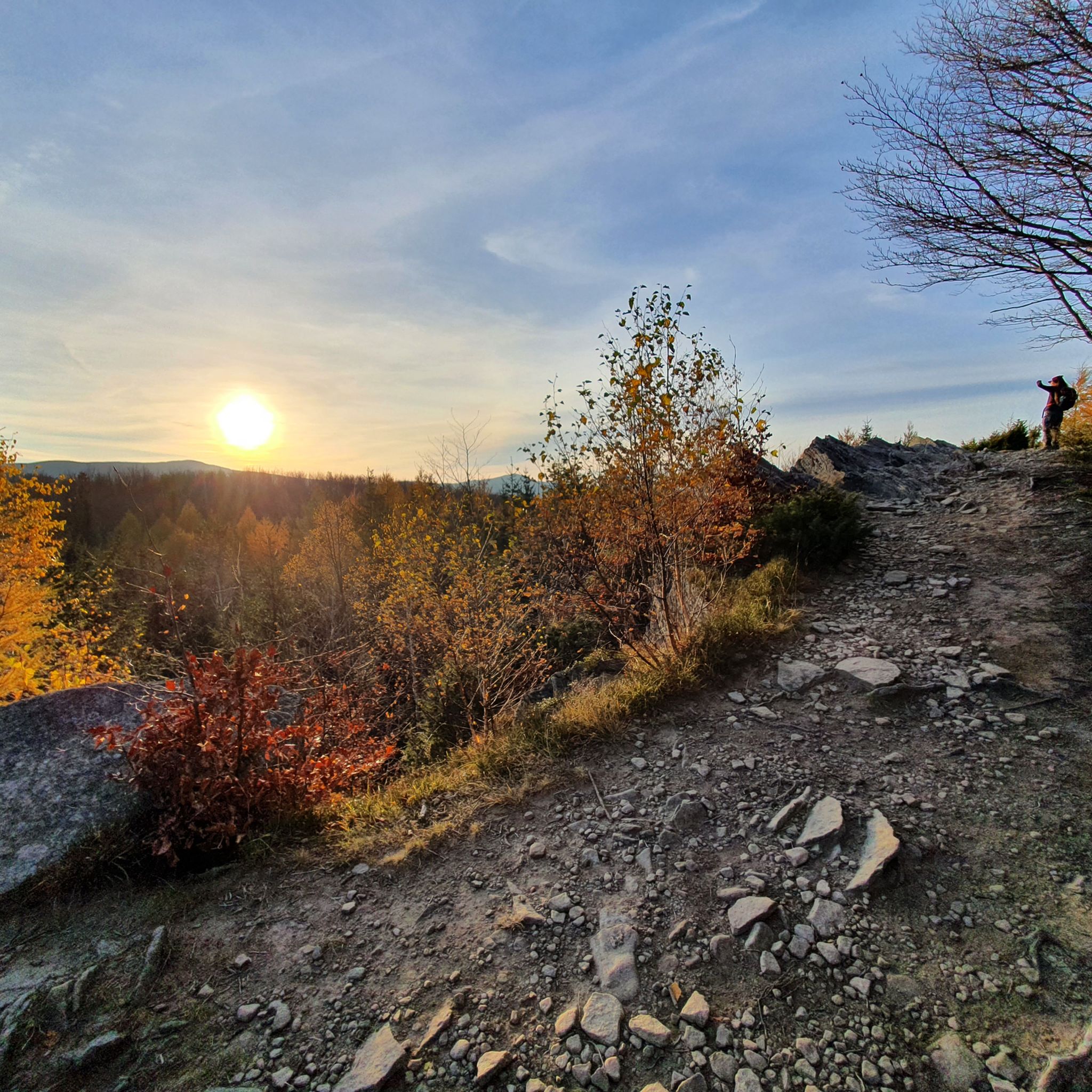
Hiking around Park Krajobrazowy Doliny Sanu
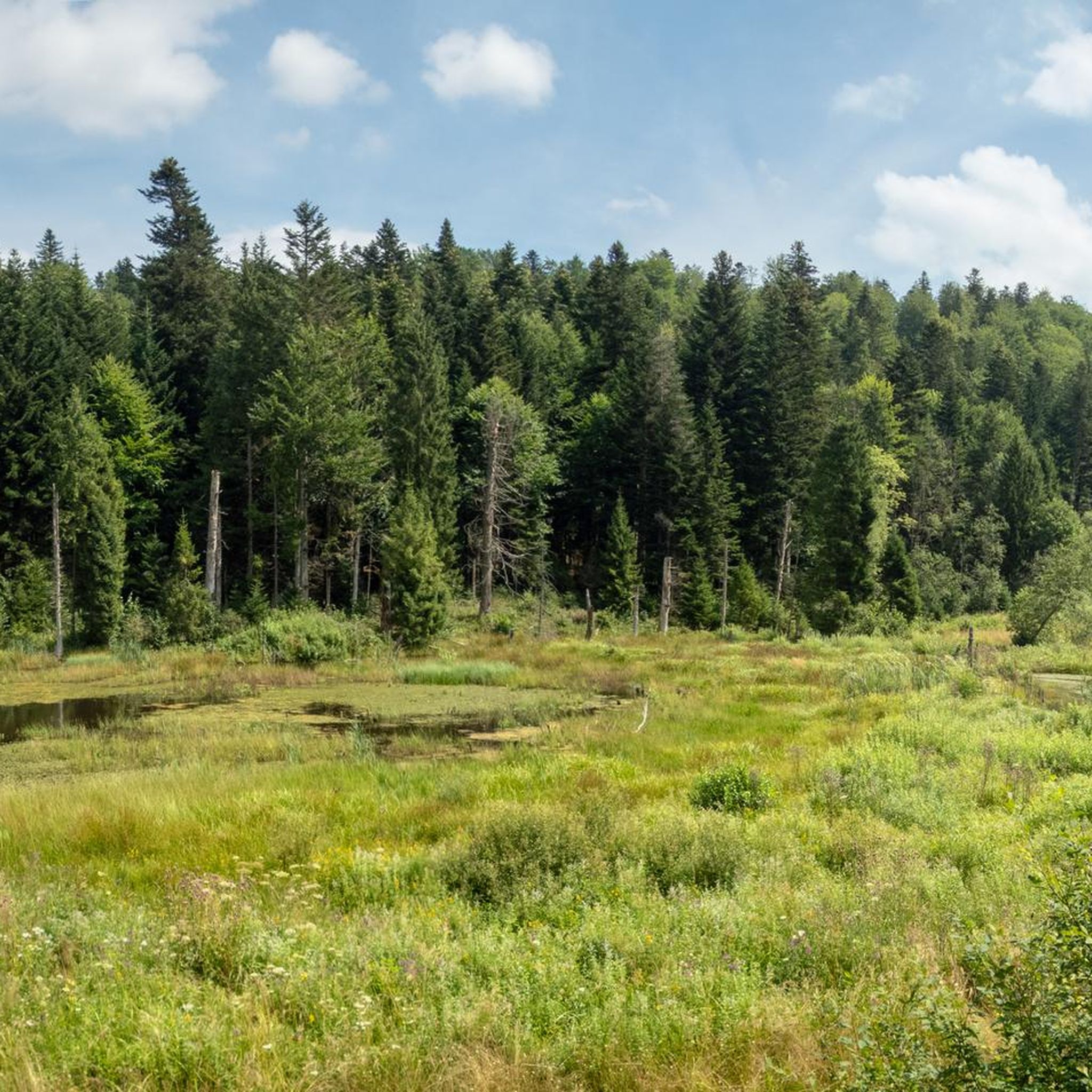
Cycling around Park Krajobrazowy Doliny Sanu

Mountain Hikes around Park Krajobrazowy Doliny Sanu
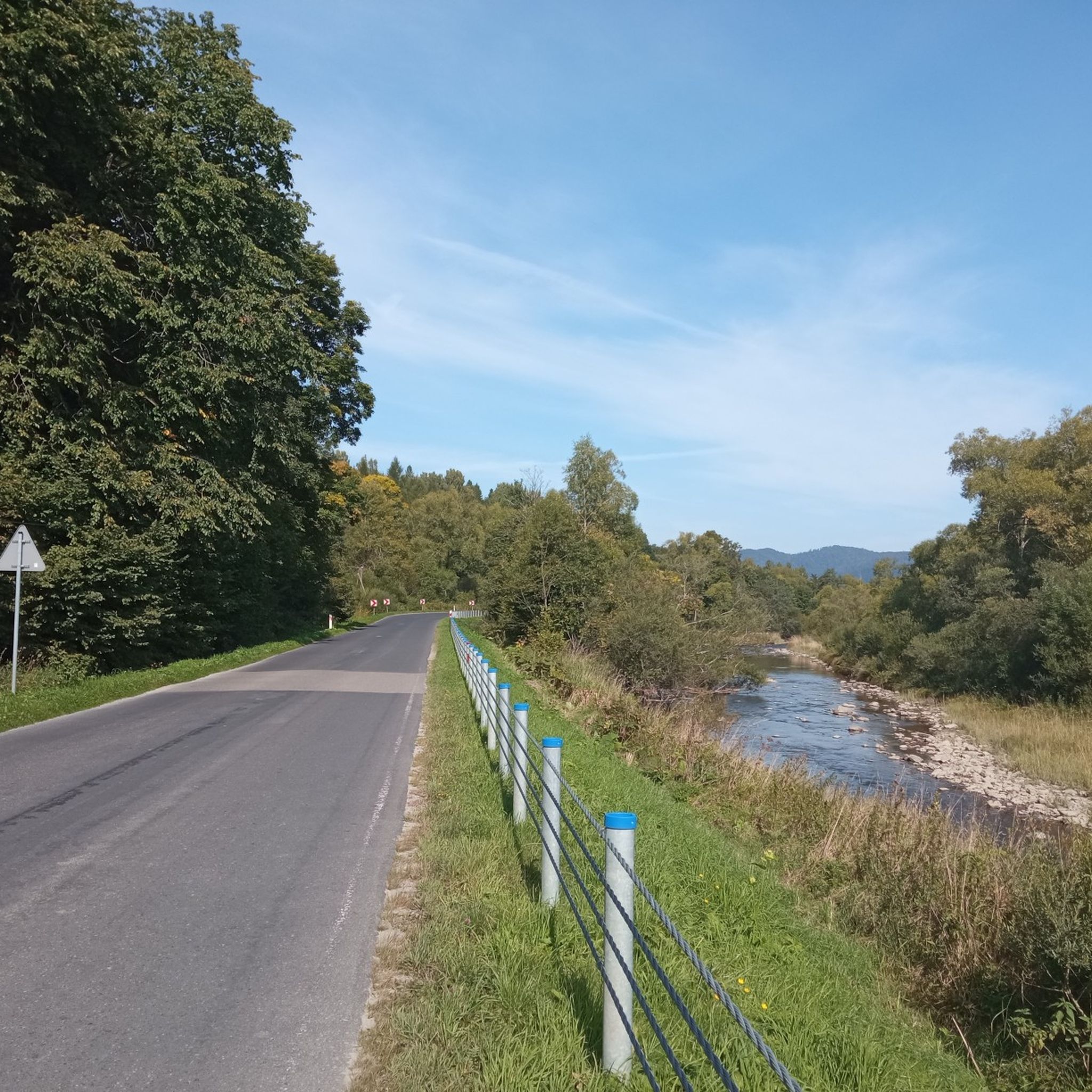
Road Cycling Routes around Park Krajobrazowy Doliny Sanu
MTB Trails around Park Krajobrazowy Doliny Sanu

Gravel biking around Park Krajobrazowy Doliny Sanu
Other adventures around Park Krajobrazowy Doliny Sanu

Tips from the Community

The peak itself is not marked (the first known one I have seen in the Bieszczady Mountains without a marked peak)
0
1
Beautiful natural waterfall. For me, the most beautiful in the region
0
0

Easy access by gravel road from Zatwarnica. A waterfall artificially created by soldiers quarrying stone for roads in the Bieszczady Mountains.
0
0

The Boyko cottage is worth seeing.
0
0

The ruins of a former church lie in a beautiful and idyllic landscape in the valley of the River San.
2
0

Magura Stuposiańska (1016 m) is a peak in the Western Bieszczady Mountains. Although the peak itself is forested, the route is very pleasant, during which we can admire Połonina Caryńska. The round trip is less than 9 kilometers. However, it is worth staying longer at the Koliba student hostel.
1
0
Dwernik Kamień (1004 m above sea level) is a peak in the Bieszczady Mountains, from which we can admire Połoniny Caryńska and Wetlińska, Bukowe Berdo and Wielka Rawka. Most of the route from Zatwarnica leads through the forest.
1
0
The so-called chyża bojkowska, which is a traditional residential building in this region of the Carpathians, in which each room takes up the entire width of the building. Currently, there is an eco-museum "In the land of the Boykos". Entry is free, but it's worth putting something in the jar. From the owner you can learn many interesting facts about the Bieszczady Mountains, the history of architecture and poetry. You can buy products from local artists.
1
0
Frequently Asked Questions
How many running routes are available in Park Krajobrazowy Doliny Sanu?
There are over 20 running routes available in Park Krajobrazowy Doliny Sanu, offering a variety of experiences for different skill levels. The komoot community has explored more than 22 routes in the area.
What kind of terrain can I expect on the running trails in Park Krajobrazowy Doliny Sanu?
The terrain in Park Krajobrazowy Doliny Sanu is diverse, ranging from serene paths along the San River valley to trails through dense Carpathian beech forests. You'll encounter gentle inclines, more challenging mountain slopes in ranges like Otryt and Magura Stuposiańska, and varied surfaces from forest paths to former village traces.
Are there any easy running routes suitable for beginners in the San Valley Landscape Park?
While the guide primarily features moderate to difficult routes, the upper San Valley generally offers gentler inclines, making it suitable for those seeking easier paths. The park's extensive network includes nature and educational paths that can be less demanding. For a moderate option, consider the Brenzberg Historical-Nature Trail, which is 2.7 miles (4.4 km) long.
What do other runners say about the trails in Park Krajobrazowy Doliny Sanu?
The running routes in Park Krajobrazowy Doliny Sanu are highly rated by the komoot community, with an average score of 5.0 stars. Runners often praise the unspoiled nature, the tranquility of the secluded areas, and the varied landscapes, from river valleys to ancient forests.
Are there any challenging running trails for experienced runners?
Yes, for experienced runners seeking a challenge, Park Krajobrazowy Doliny Sanu offers several difficult routes. The Pętla Zatwarnica - Krywe: Park Krajobrazowy Doliny Sanu is a difficult 10.7 miles (17.2 km) path exploring the secluded upper San Valley and Krywe nature reserve. Another demanding option is the Hylaty Nature and History Trail, which features significant elevation gain over its 14.6 km length.
Can I find any scenic viewpoints along the running paths?
Absolutely. The park's varied topography includes several areas offering breathtaking views. The Jeleniowaty Observation Tower is a notable viewpoint. Routes like the Pętla Nasiczne - Dwernik Kamień: Park Krajobrazowy Doliny Sanu offer views of the Dwernik-Kamień massif, providing stunning panoramas of the Bieszczady Mountains.
Are there any natural features or landmarks to see while running?
The park is rich in natural beauty. You can run alongside the picturesque San River, through ancient Carpathian beech forests, and discover nature reserves protecting unique ecosystems like peat bogs. A notable natural landmark is the Szepity Waterfall on the Hylate stream, which can be a refreshing stop on your run.
What historical traces can I discover on the trails?
The region has a rich history, with traces of former Boyko villages, churches, and cemeteries adding a unique cultural dimension to your run. The Brenzberg Historical-Nature Trail specifically winds through historical points of interest, allowing you to connect with the past while enjoying the natural environment.
Are the running routes in Park Krajobrazowy Doliny Sanu suitable for families?
Yes, many areas within the park, particularly the upper San Valley with its gentle inclines, are well-suited for families. The extensive network of tourist and educational paths offers options for various fitness levels, making it possible to find routes enjoyable for all family members. The low population density also ensures a peaceful and safe environment.
Are there any circular running routes available?
Yes, the park offers several circular routes, perfect for runners who prefer to start and end at the same point. Examples include the challenging Pętla Zatwarnica - Krywe and the Dwernik and Magura Stuposiańska Loop Trail, both offering immersive experiences in the park's diverse landscapes.
What is the best time of year for running in Park Krajobrazowy Doliny Sanu?
The park is beautiful year-round, but spring, summer, and early autumn offer the most favorable running conditions. Spring brings blooming flora, while summer provides lush, shaded forest paths. Autumn transforms the beech forests into a spectacular display of colors. Winters can be challenging with snow and ice, but also offer opportunities for cross-country skiing or snowshoeing on some trails.
Are there any specific cultural or religious sites I might encounter on a run?
Yes, the region is dotted with historical and cultural sites. You might come across the Church of Chmiel or the St. Michael the Archangel Church in Smolnik, both offering glimpses into the area's rich heritage and architectural beauty.
Most popular routes around Park Krajobrazowy Doliny Sanu
Most popular attractions around Park Krajobrazowy Doliny Sanu

Get inspired with the komoot mobile app


Explore more
Browse the best Running Trails & Routes in other regions.
