The best cycling routes around Park Krajobrazowy Doliny Sanu
4.8
(118)
832
riders
51
rides
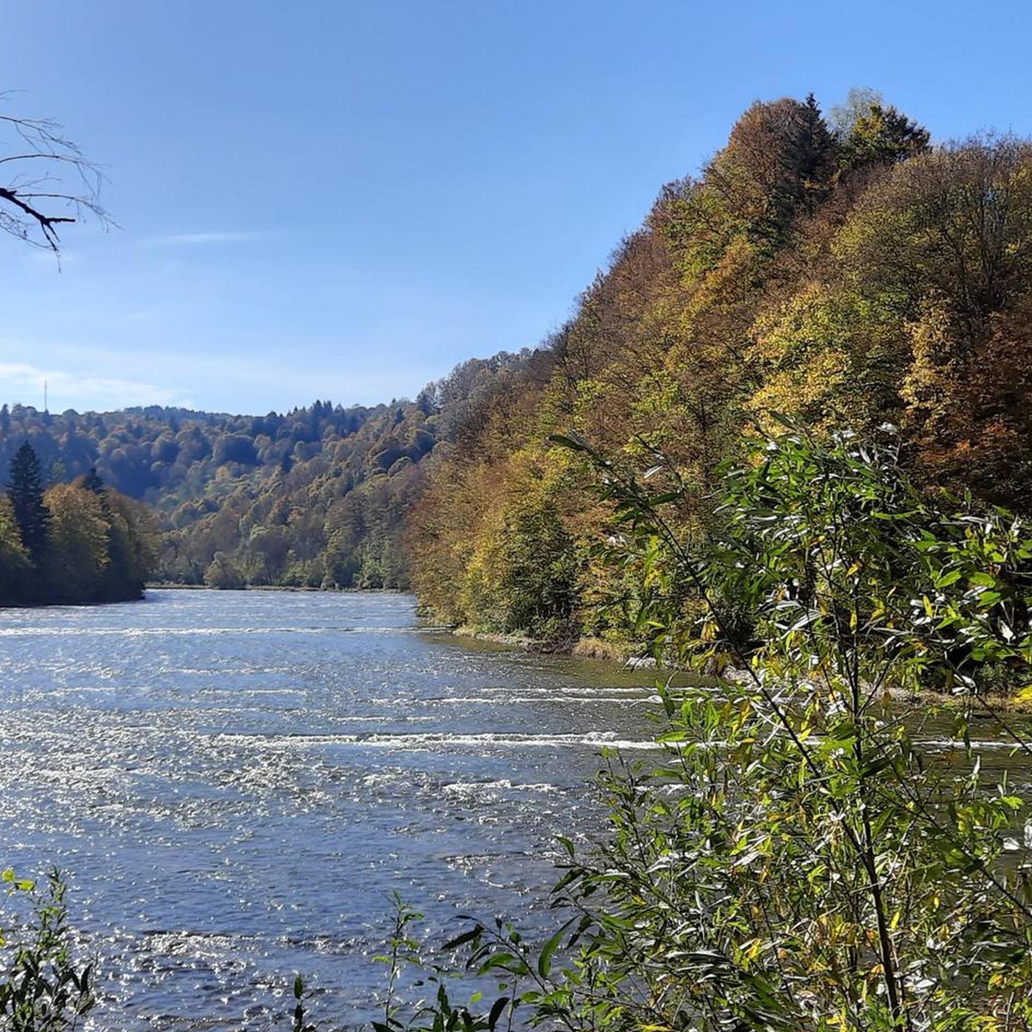
Touring cycling routes around Park Krajobrazowy Doliny Sanu traverse a landscape shaped by the meandering San River, extensive Carpathian forests, and the Otryt mountain range. The park features diverse terrain, ranging from gentle paths along the river to more challenging routes through forested hills. Cyclists can explore areas with dense, old-growth beech forests and discover historical traces of former villages and churches. This region offers varied conditions for touring cyclists, from valley floors to higher elevations.
Best touring cycling routes…
Last updated: July 7, 2026
4.8
(12)
56
riders
36.6km
02:49
590m
590m
Hard bike ride. Very good fitness required. Mostly paved surfaces. Suitable for all skill levels.
4.7
(9)
86
riders
80.3km
05:21
1,280m
1,280m
Hard bike ride. Very good fitness required. Mostly paved surfaces. Suitable for all skill levels.

Sign up for free
4.9
(10)
61
riders
58.8km
05:08
1,070m
1,070m
Hard bike ride. Very good fitness required. Mostly paved surfaces. Suitable for all skill levels.
4.3
(12)
73
riders
55.4km
03:50
880m
880m
Hard bike ride. Very good fitness required. Mostly paved surfaces. Suitable for all skill levels.
4.3
(12)
70
riders
56.1km
03:33
670m
670m
Hard bike ride. Very good fitness required. Mostly paved surfaces. Suitable for all skill levels.
Get access to more routes and recommendations from other explorers.
Sign up for free
Already have an account?
Our route recommendations are based on thousands of hikes, rides, and runs completed by other people on komoot.
Start today with a free account
Your next adventure awaits.
Login or Signup
Popular around Park Krajobrazowy Doliny Sanu
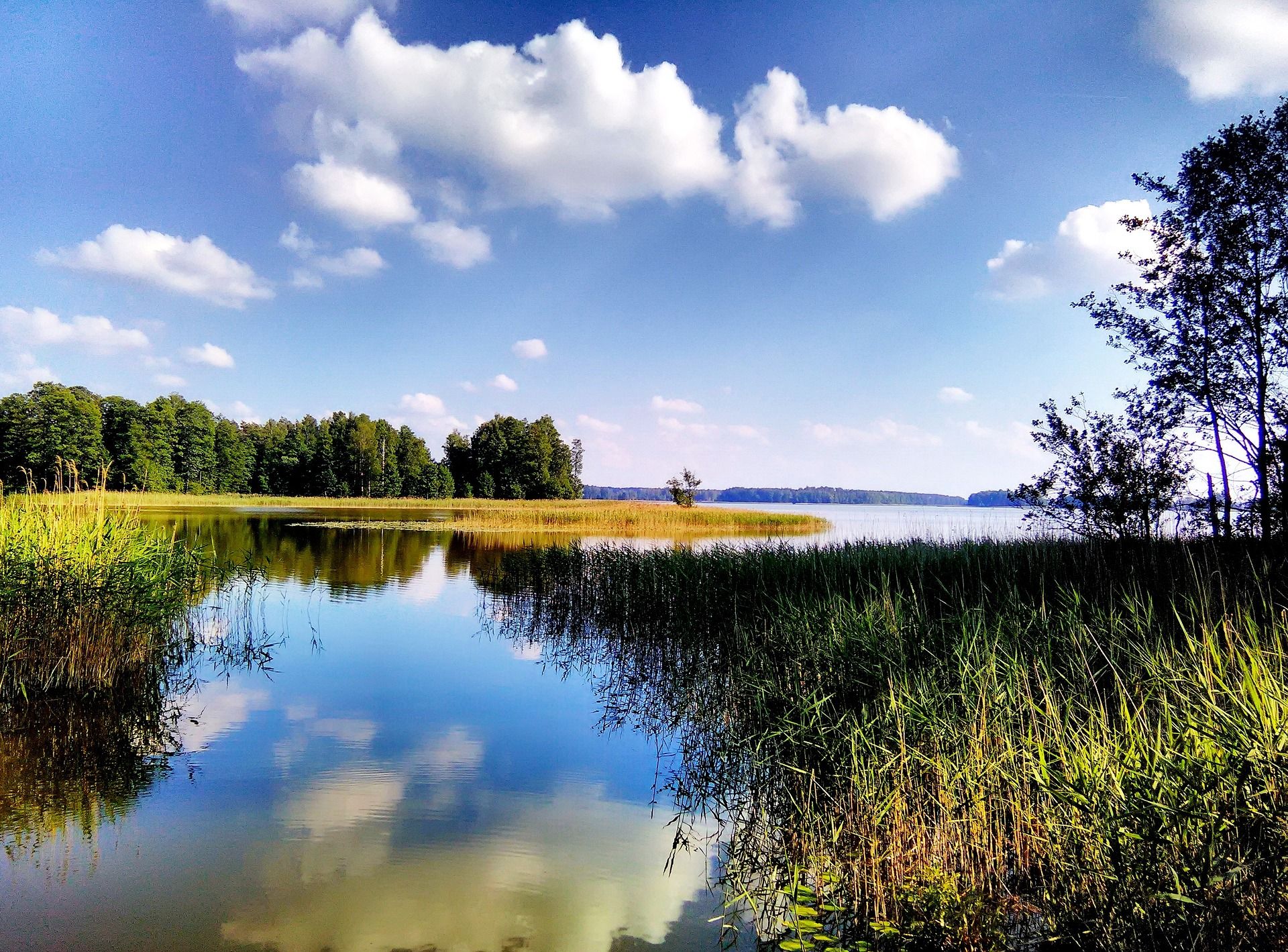
Where Poland's wild soul lives – explore five regions by bike
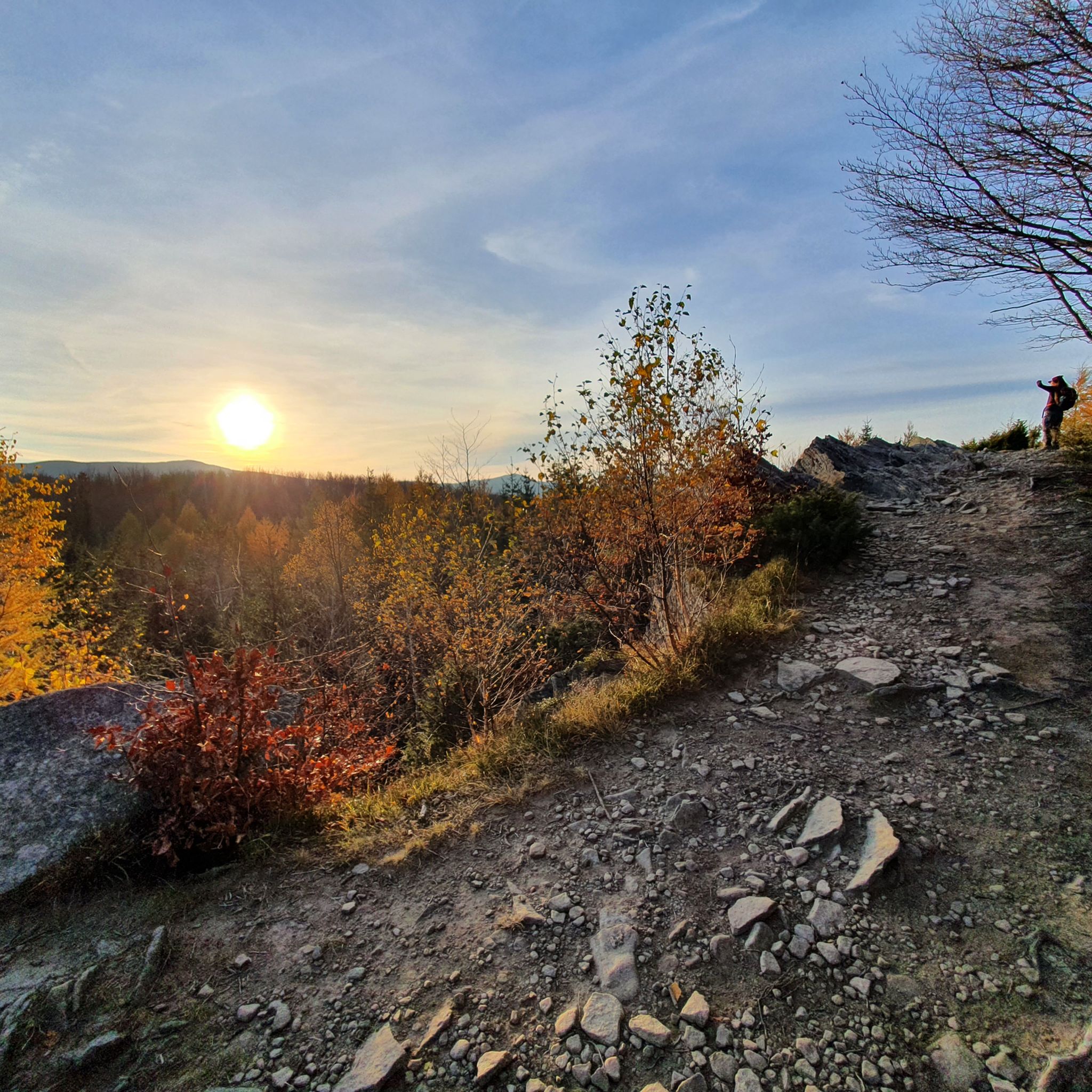
Hiking around Park Krajobrazowy Doliny Sanu
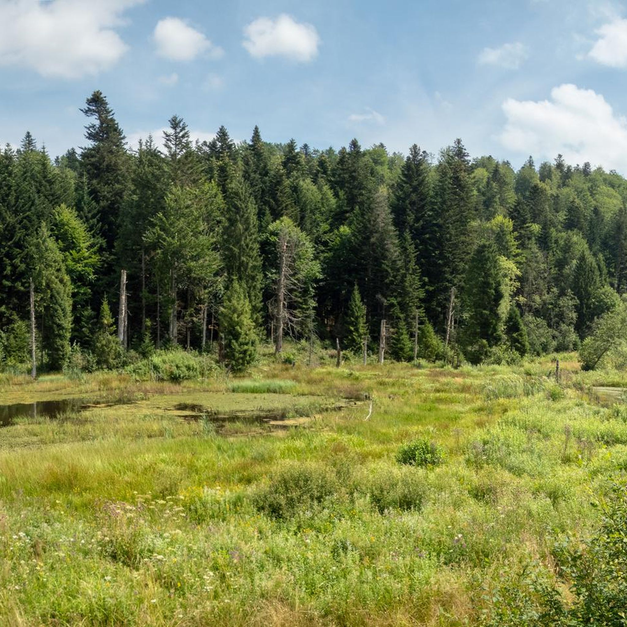
Running Trails around Park Krajobrazowy Doliny Sanu

Mountain Hikes around Park Krajobrazowy Doliny Sanu
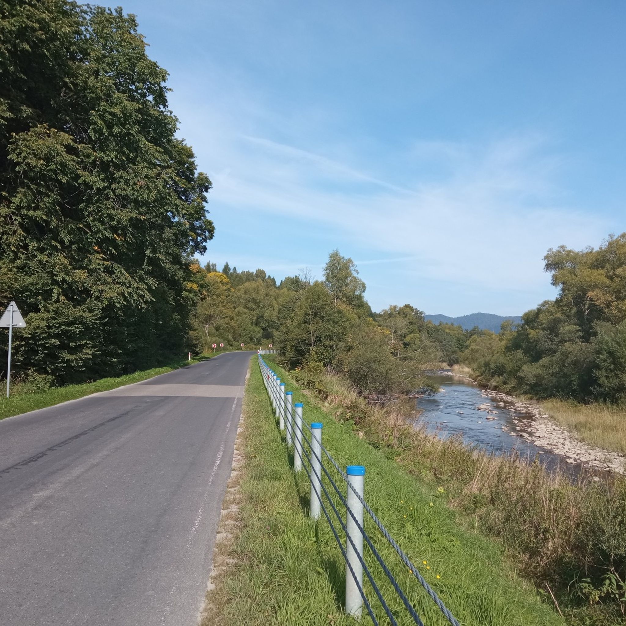
Road Cycling Routes around Park Krajobrazowy Doliny Sanu
MTB Trails around Park Krajobrazowy Doliny Sanu

Gravel biking around Park Krajobrazowy Doliny Sanu
Other adventures around Park Krajobrazowy Doliny Sanu

Tips from the Community

@Michał -- they were deported, they haven't moved voluntarily.
0
0
For amateurs, it's better to take a correction for the ride time 😂
0
0

Wyżna Pass, located at an altitude of 872 m above sea level in the Western Bieszczady Mountains, is one of the most recognizable places in the region. The pass offers a magnificent panorama of Połonina Wetlińska, Połonina Caryńska and Tarnica, the highest peak of the Western Bieszczady Mountains. For road cyclists, it is an attractive point on the Great Bieszczady Loop route, offering well-maintained asphalt roads. There is a large parking lot, a bus stop and an inn on site, making it a convenient place to rest. It is also worth paying attention to the monument dedicated to Jerzy Harasymowicz, a poet associated with the Bieszczady Mountains.
1
0
These metal kilns are used for traditional charcoal burning, which for many years was an important part of the region's economy. They can be seen in various parts of the Bieszczady Mountains, where professional charcoal burners still work. The burning process takes several days and requires constant monitoring, making it an extremely demanding craft.
1
0

Situated at an altitude of 872 m above sea level. The Wyżna Pass, also called the Bereham Pass, separates the Połonina Wetlińska range from Dział. The road from Ustrzyki Górne to Wetlina and the hiking trail from Połonina Wetlińska to Dział run through the pass. At the pass there is a huge parking lot for cars (even for buses), and at the end of it there is a restaurant and a view point over the meadows. In short: it is a crowded, unpleasant place, but with a very nice view.
1
0
In the quarry in Nasiczne, which has been closed for several decades, stone was obtained to be used as road or railway crushed stone. Geological layers showing the structure of the Carpathian flysch were uncovered. This is theoretical, because an untrained eye won't see anything here except rock scree.
1
0
A wooden church built in 1979–1981 on the site of the former Orthodox church, which burned down in 1946.
1
0
A wooden bridge on stone supports and the San River below.
2
0
Frequently Asked Questions
How many touring cycling routes are available in Park Krajobrazowy Doliny Sanu?
There are over 50 touring cycling routes available in Park Krajobrazowy Doliny Sanu, offering a wide range of experiences from gentle valley rides to more challenging ascents through forested hills. These routes are highly rated by the komoot community, with an average score of 4.8 stars.
What kind of terrain can I expect on touring cycling routes in the San Valley Landscape Park?
The terrain in Park Krajobrazowy Doliny Sanu is quite diverse. You'll find routes that meander along the picturesque San River valley, featuring numerous oxbows and gorges. Other paths lead through extensive Carpathian beech forests, some of which are old-growth stands. The park also encompasses parts of the Otryt mountain range and massifs like Magura Stuposiańska, offering varied elevations and scenic vistas.
Are there any easy touring cycling routes suitable for beginners or families?
Yes, while many routes are more challenging, there are options for easier rides. The park's landscape includes undemanding paths, particularly along the valley floors. For example, routes around Bukowiec, Beniowa, and Dźwiniacz Górny are known to offer more accessible cycling experiences. Always check the route details for specific difficulty levels before you go.
What are some notable natural attractions or viewpoints I can visit while cycling?
The park is rich in natural beauty. You can cycle past the meandering San River with its oxbows, explore dense Carpathian beech forests, and discover various nature reserves like the peat bogs in Tarnawa Niżna. For panoramic views, consider visiting the Jeleniowaty Observation Tower, which offers stunning vistas above the forest canopy. The Dwernik Kamień peak also provides excellent views of the Bieszczady połoniny (mountain meadows).
Are there any historical sites or cultural landmarks along the cycling routes?
Absolutely. The region has a rich history, with traces of former villages that were depopulated after post-war events. You can discover remnants of these settlements, including old cemeteries with historic tombstones and ruins of Orthodox churches (cerkiew). A particularly notable site is the UNESCO-listed wooden Orthodox church in Smolnik nad Sanem, dating back to 1791. The route Route Along the Wołosate River – Church of Chmiel loop from Zatwarnica passes by the church in Chmiel.
What is the best time of year for touring cycling in Park Krajobrazowy Doliny Sanu?
The best time for touring cycling in Park Krajobrazowy Doliny Sanu is generally from spring through autumn. During these seasons, the weather is more favorable, and the natural landscapes are at their most vibrant, from lush green forests in spring and summer to the changing colors of autumn. Winter cycling can be challenging due to snow and ice, especially on higher elevation routes.
Can I spot any wildlife while cycling in the park?
Yes, Park Krajobrazowy Doliny Sanu is known for its rich biodiversity and low human intervention, making it an excellent place for wildlife spotting. The park is home to puszczańska fauna (forest wilderness fauna) and a high concentration of rare species, including bison, bear, and lynx. You might also encounter various rare bird species and even the Aesculapian snake. Cycling quietly through the extensive forests increases your chances of observing animals in their natural habitat.
Are there any circular touring cycling routes in the area?
Yes, many of the touring cycling routes in Park Krajobrazowy Doliny Sanu are designed as loops, allowing you to start and end at the same point. For instance, the Blue Avenue – Tarnawa High Peat Bog loop from gmina Lutowiska is a popular circular route that takes you through diverse landscapes. Another option is the Dwernik Wooden Church – Strzyki Górne loop from Muczne.
What are the options for parking when visiting the park for cycling?
While specific parking locations are not detailed for every route, the region is generally accessible for visitors arriving by car. Many trailheads and villages within or near the park, such as Muczne, Zatwarnica, or gmina Lutowiska, offer designated or informal parking areas. It's advisable to check local information or maps for parking facilities near your chosen starting point.
Is public transport available to access touring cycling routes in Park Krajobrazowy Doliny Sanu?
Public transport options to access the more remote parts of Park Krajobrazowy Doliny Sanu can be limited. While some larger towns in the Bieszczady region may have bus connections, direct access to specific trailheads within the park might require private transport. It's recommended to research local bus schedules to nearby villages if you plan to rely on public transport.
Are there any routes that offer views of the wider Bieszczady region?
Yes, some routes provide expansive views beyond the immediate San Valley. For example, the Ustrzyki Dolne – View of Volkowyja and Solinka loop from Sakowczyk offers stunning vistas, including the Volkowyja and Solinka areas, as it navigates varied terrain. Peaks like Dwernik Kamień also provide opportunities to admire the iconic Bieszczady połoniny (mountain meadows).
Are there any waterfalls in Park Krajobrazowy Doliny Sanu?
Yes, the park and its surroundings feature natural attractions like waterfalls. You can find the Szepity Waterfall on the Hylate stream, which is a notable natural monument in the area. Exploring routes that pass through the more rugged parts of the park might lead you to such hidden gems.
Most popular routes around Park Krajobrazowy Doliny Sanu
Most popular attractions around Park Krajobrazowy Doliny Sanu

Get inspired with the komoot mobile app


Explore more
Browse the best Cycling routes in other regions.
