The best running trails around Ortigosa Del Monte
4.8
(27)
1,678
runners
65
runs
Jogging around Ortigosa Del Monte offers diverse terrain at the foot of the Sierra de Guadarrama, providing a compelling setting for outdoor activities. The region features a mountainous environment with varied landscapes, including ancient pine forests and unique granite rock formations. Runners can explore historic routes like the Roman Road of Puerto de la Fuenfría or follow paths along riverine areas.
Best jogging routes around Ortigosa Del Monte
- The most popular jogging route is Fuenfría Valley Loop, a 7.6…
Last updated: May 20, 2026
5.0
(1)
18
runners
12.2km
01:42
510m
510m
This difficult 7.6-mile (12.2 km) jogging route in Sierra de Guadarrama National Park features the Ducha de los Alemanes waterfall and Mirad
4.0
(1)
3
runners
27.7km
04:39
1,210m
1,210m
This difficult 17.2-mile (27.7 km) jogging route from Dehesas de Cercedilla climbs 3970 feet (1210 metres) to Peña del Oso and Montón de Tri

Sign up for free
3
runners
30.5km
04:33
1,160m
1,160m
A difficult 19.0-mile jogging route in Sierra de Guadarrama National Park, featuring the "La Mujer Muerta" silhouette and technical terrain.
4.3
(3)
113
runners
19.7km
02:29
570m
570m
Hard run. Very good fitness required. Sure-footedness, sturdy shoes and alpine experience required.
29
runners
Hard run. Very good fitness required. Sure-footedness, sturdy shoes and alpine experience required.
Get access to more routes and recommendations from other explorers.
Sign up for free
Already have an account?
Our route recommendations are based on thousands of hikes, rides, and runs completed by other people on komoot.
Start today with a free account
Your next adventure awaits.
Login or Signup
Popular around Ortigosa Del Monte
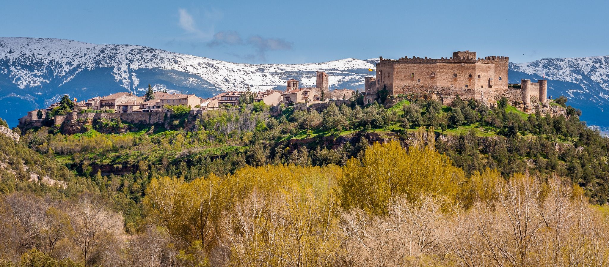
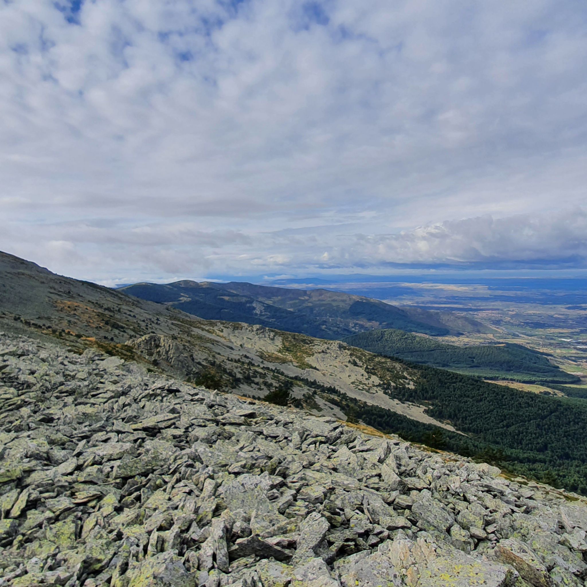
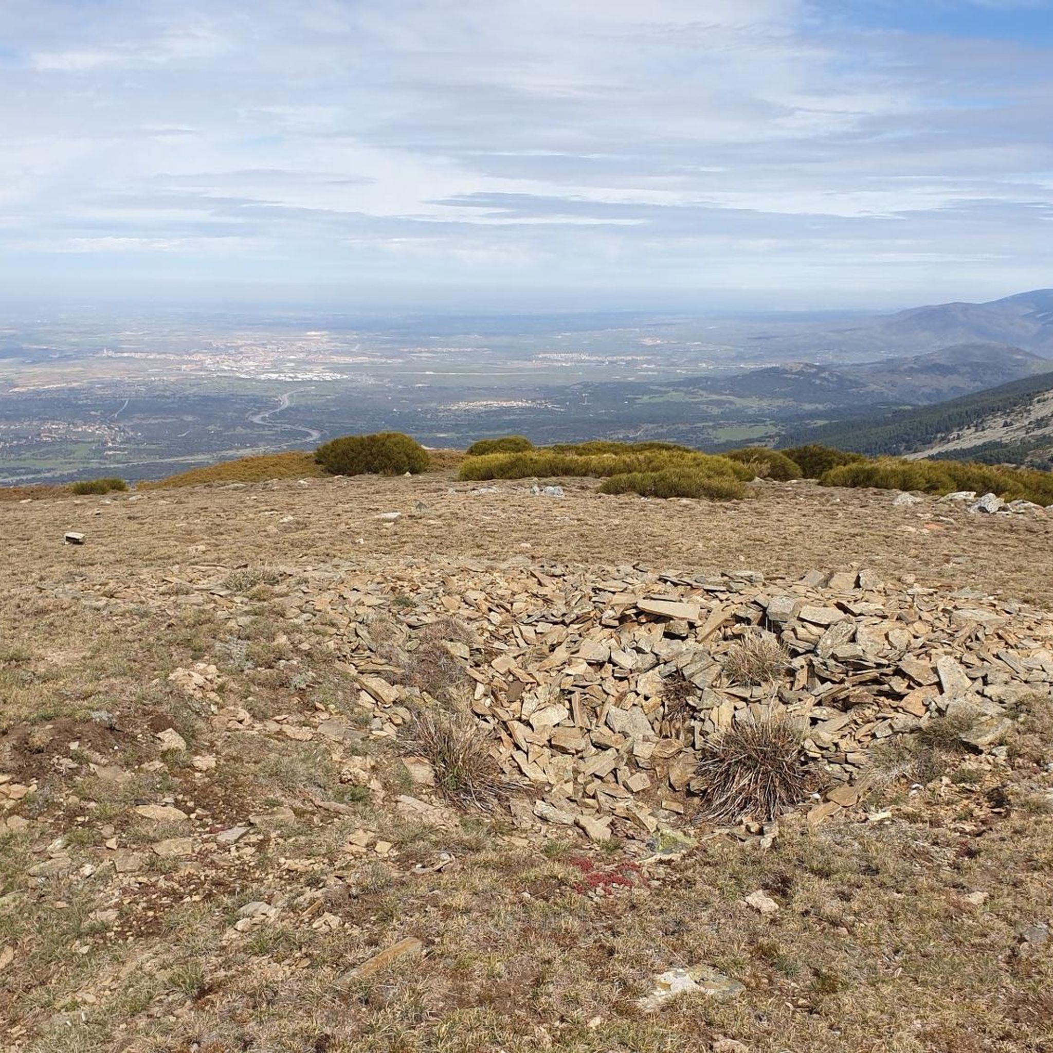
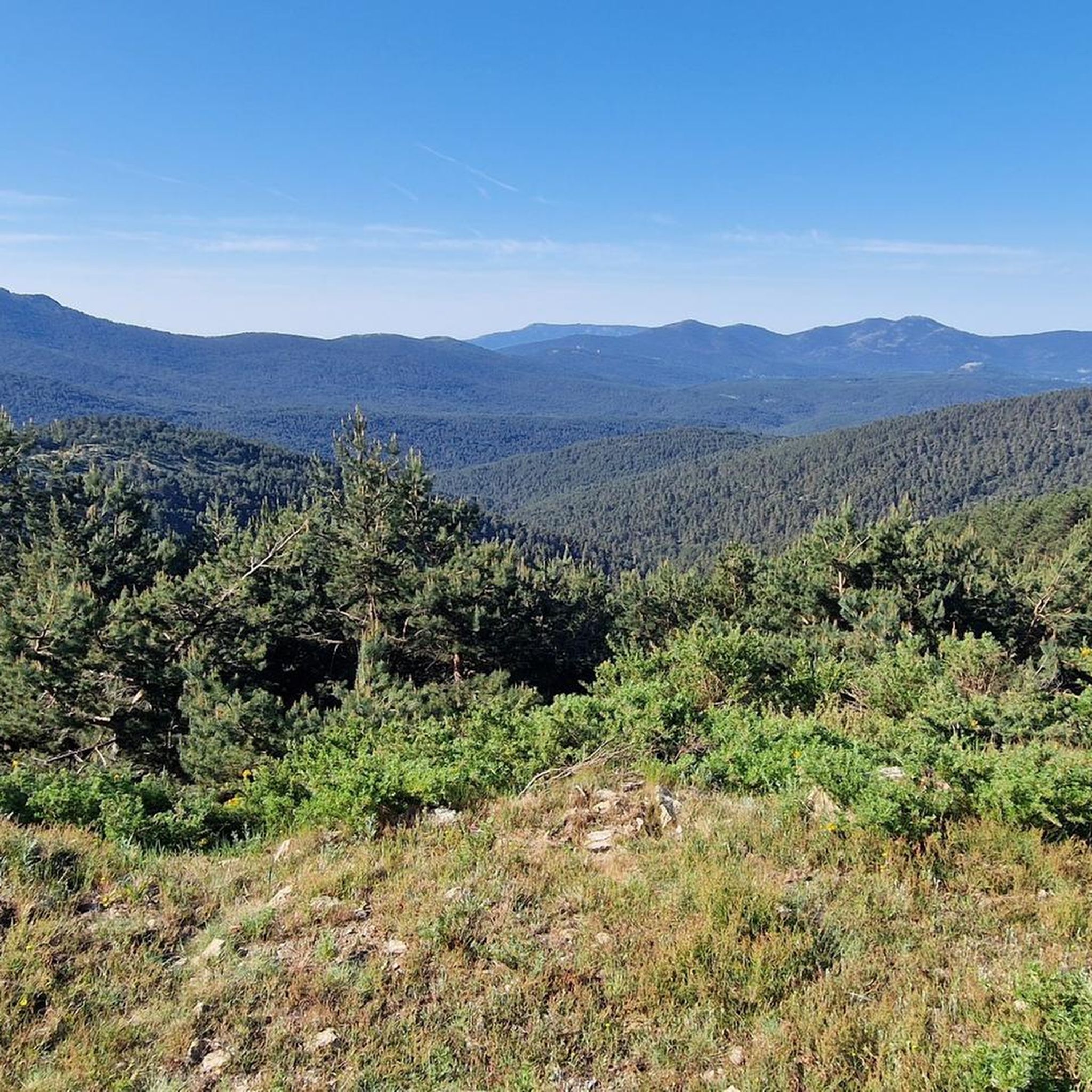


Other adventures around Ortigosa Del Monte

Tips from the Community

Key Facts: Cela Sundial Location: It is located in the Pradera de Navarrulaque (Cercedilla), at an altitude of about 1,670 meters, right on the Carretera de la República. History: Inaugurated in 1995, it is a tribute to the writer (a great lover of the mountains and author of Cuadernos del Guadarrama) and to the first hikers who traversed these mountains. Curiosity: It is an analemmatic sundial. This means it does not have a fixed needle; you are the clock yourself. You have to stand on the current date marked on the ground, and your own shadow will indicate the time on the stone pieces surrounding you. Surroundings: It is on a beautiful route that passes by the Ducha de los Alemanes and the Miradores de los Poetas. I love this sundial in honor of Cela. It's super original because you interact with it to know the time. It's in a privileged spot in the Sierra de Cercedilla, surrounded by pine trees and with a lot of peace. A "rural monument" with a lot of charm that I never tire of visiting on my hikes through the Valle de la Fuenfría.
0
0
The Descalzo Bridge is one of the best-known bridges on the Fuenfría Roman Road in Cercedilla. Although long attributed to its Roman origin, more recent research suggests that, although the road crossed here in Roman times, the bridge itself may have been built or heavily modified in the 18th century (Bourbon era). Despite this, it is located on an important section of the Roman road that connected Segovia with Titulcia and has been restored several times, maintaining its original structure. It is a masonry bridge with a single arch and blends perfectly into the natural surroundings, being part of a popular hiking trail in the Sierra de Guadarrama. Both the bridge and the road have been declared a National Historic, Artistic, and Archaeological Site.
0
0
The Descalzo Bridge is one of the best-known bridges on the Roman Road of Fuenfría, in Cercedilla. Although long attributed to its Roman origin, more recent research suggests that, although the road crossed here in Roman times, the bridge itself may have been built or heavily modified in the 18th century (Bourbon era). Despite this, it is located on an important section of the Roman road that linked Segovia with Titulcia, and has been restored several times, maintaining its original structure. It is a masonry bridge with a single arch and blends perfectly into the natural environment, being part of a popular hiking trail in the Sierra de Guadarrama (the Schmith Way). Both the bridge and the road have been declared a National Historic, Artistic, and Archaeological Site.
0
0
incredible layout of the Roman road,
0
0
a good route, from Madrid to Segovia..
0
0

When seen from a distance it looks like a pile of something, in this case, wheat.
0
0
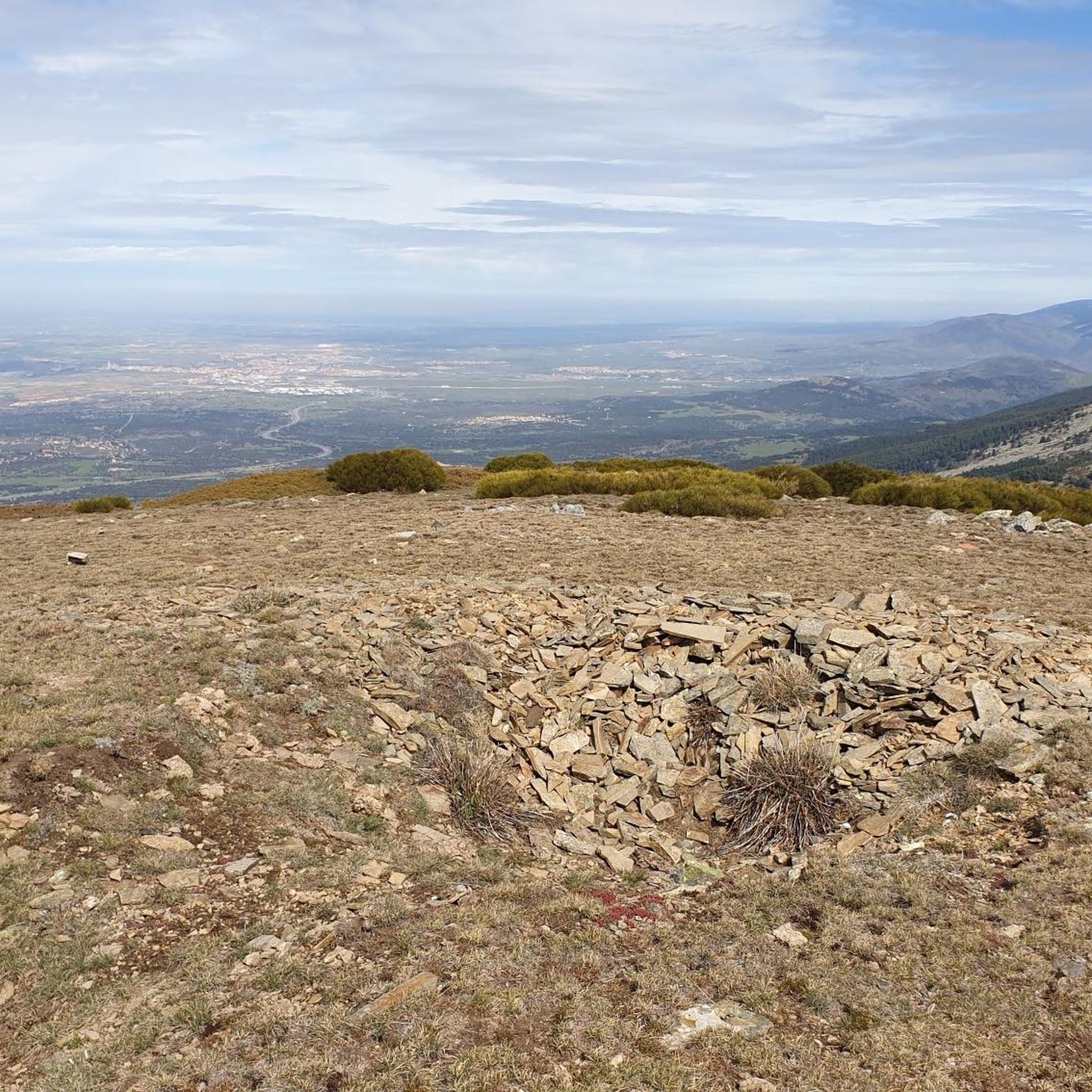
A hill that separates La Pinareja and Montón de Trigo. It is named after a game played by shepherds, "Tiro de la Barra"
0
0
Collado that takes its name from the bar throw game.
0
0
Frequently Asked Questions
How many running routes are available around Ortigosa Del Monte?
There are over 60 running routes around Ortigosa Del Monte, offering a wide variety of options for different preferences and fitness levels. These routes are highly rated by the komoot community.
What kind of landscapes can I expect when jogging in Ortigosa Del Monte?
Jogging in Ortigosa Del Monte offers diverse landscapes, from the mountainous terrain at the foot of the Sierra de Guadarrama National Park to historic routes like the Roman Road of Puerto de la Fuenfría. You'll encounter extensive pine forests, unique granite rock formations in areas like El Berrocal, and picturesque riverine paths.
Are there any circular running routes in Ortigosa Del Monte?
Yes, there are several circular running routes. For example, the Fuenfría Valley Loop is a popular 12.2 km option. Additionally, a dedicated 4 km circular trail starts from the Ortigosa del Monte town hall, offering scenic views and passing through varied woodlands.
What do other runners say about the trails in Ortigosa Del Monte?
The running routes in Ortigosa Del Monte are highly regarded by the komoot community, holding an average rating of 4.7 stars from over 20 reviews. Runners often praise the varied terrain, stunning mountain views, and the opportunity to explore both natural beauty and historical paths.
Are there family-friendly running options in Ortigosa Del Monte?
While many routes are challenging, there are options suitable for families. The 'Ruta Ortigosa del Monte a La Losa por el Camino de la Mora' offers both 3.5 km and 6 km options that are generally suitable for all ages, providing a gentler experience through local landscapes.
Can I bring my dog on the running trails in Ortigosa Del Monte?
Generally, dogs are welcome on many trails in the Sierra de Guadarrama region, especially if kept on a leash. However, it's always recommended to check specific local regulations or national park guidelines for any restrictions that might apply to certain areas or times of year.
What are some points of interest or landmarks I might see while running?
The region is rich in natural and historical landmarks. You might encounter impressive mountain peaks like Seven Peaks or Somontano Peak. Historic mountain passes such as Alto del León and the ancient Roman Road of Puerto de la Fuenfría also offer unique sights along your run.
Is parking available near the running routes in Ortigosa Del Monte?
Parking is generally available at common trailheads and near the town center of Ortigosa Del Monte. For specific routes, it's advisable to check the route details on komoot for recommended starting points and parking information.
What is the general difficulty level of running trails in Ortigosa Del Monte?
The majority of running trails around Ortigosa Del Monte are classified as difficult, with 58 out of 69 routes falling into this category. These often involve significant elevation changes and demanding terrain, typical of a mountainous region. There are also 11 moderate routes, but no easy routes are specifically listed.
Are there any historic routes suitable for running?
Yes, the Roman Road of Puerto de la Fuenfría offers a unique historic backdrop for a run. This well-preserved ancient path is flanked by tall pines and provides a relatively even terrain, making it ideal for a steady jog through history and nature.
What is the best time of year for running in Ortigosa Del Monte?
Spring and autumn generally offer the most pleasant conditions for running in Ortigosa Del Monte, with milder temperatures and beautiful natural scenery. Summer can be hot, especially at lower elevations, while winter may bring snow and colder temperatures, particularly on higher mountain trails.
Are there any routes that offer extensive mountain views?
Absolutely. Routes like the Peña del Oso and Montón de Trigo Loop are known for providing extensive mountain vistas across the Sierra de Guadarrama. The La Mujer Muerta Circular Trail also offers impressive views of the Sierra de la Mujer Muerta.
Most popular routes around Ortigosa Del Monte
Most popular attractions around Ortigosa Del Monte

Get inspired with the komoot mobile app


Explore more
Browse the best Running Trails & Routes in other regions.
