The best walks and hikes around Ortigosa Del Monte
4.6
(918)
5,067
hikers
152
hikes
Hiking around Ortigosa Del Monte offers access to the foothills of the Sierra de Guadarrama, characterized by mountainous terrain and diverse natural features. The landscape includes unique granite boulder formations in El Berrocal, several rivers like the Milanillos and Madrones, and serene pine forests such as Los Corralitos. Trails often follow waterways, cross wooden bridges, and are bordered by traditional stone fences, providing varied scenery for outdoor activities.
Best hiking trails around Ortigosa Del Monte
- The most popular hiking route…
Last updated: July 4, 2026
13
hikers
23.7km
08:30
990m
990m
Hike the difficult 14.7-mile La Mujer Muerta circular trail, gaining 3236 feet for panoramic views in Sierra de Guadarrama.
4.1
(10)
55
hikers
Hard hike. Very good fitness required. Easily-accessible paths. Suitable for all skill levels.

Sign up for free
4.3
(7)
29
hikers
22.2km
07:47
980m
980m
Hard hike. Very good fitness required. Mostly accessible paths. Sure-footedness required.
5.0
(6)
46
hikers
Moderate hike. Good fitness required. Easily-accessible paths. Suitable for all skill levels.
4.3
(4)
25
hikers
18.2km
07:19
1,020m
1,020m
Hard hike. Very good fitness required. Mostly accessible paths. Sure-footedness required.
Get access to more routes and recommendations from other explorers.
Sign up for free
Already have an account?
Our route recommendations are based on thousands of hikes, rides, and runs completed by other people on komoot.
Start today with a free account
Your next adventure awaits.
Login or Signup
Popular around Ortigosa Del Monte
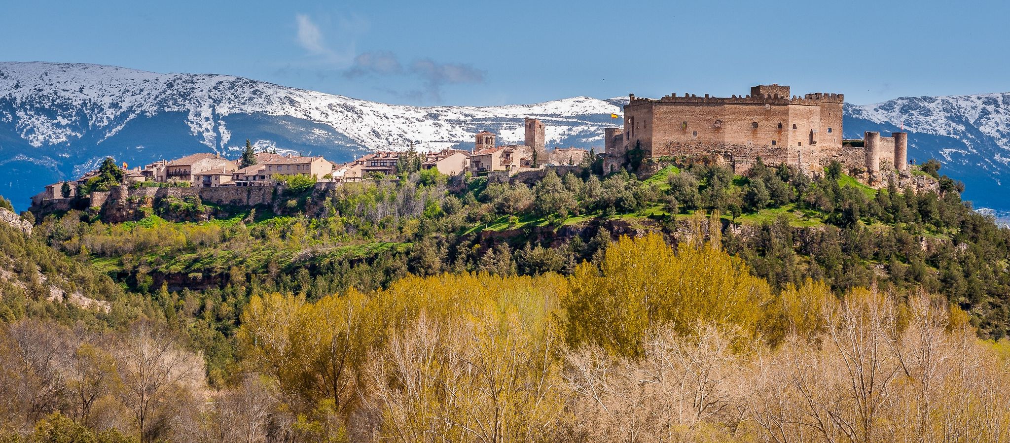
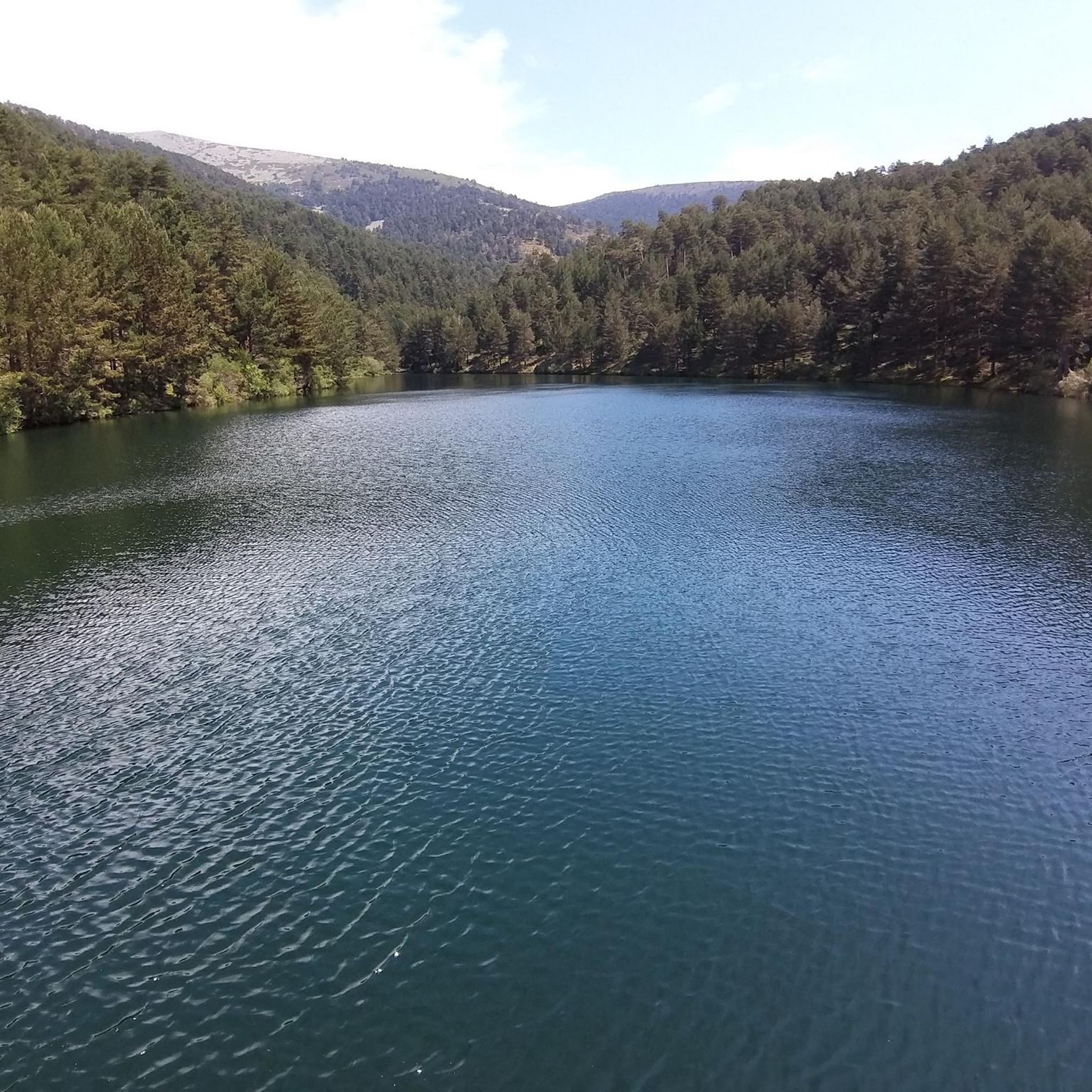
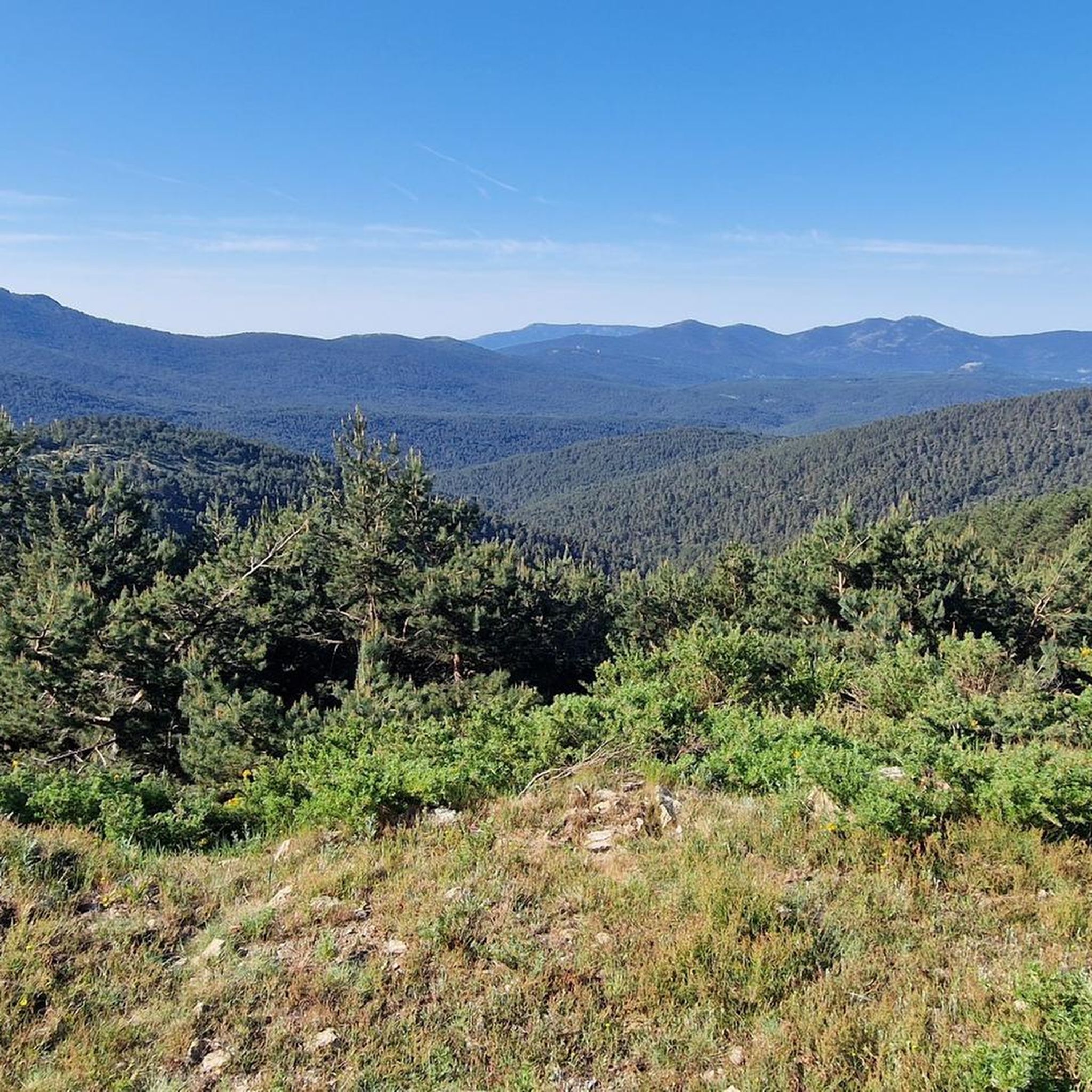
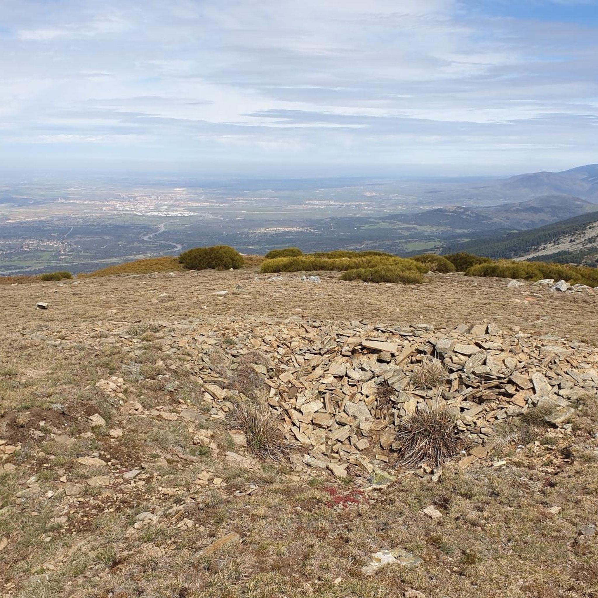


Other adventures around Ortigosa Del Monte

Tips from the Community

This fountain, at the end of April 2026, had its spout where the water fell removed. Now you can only get water from a small waterfall behind this tank.
1
0
Impressive pass located on the ridge of the Mujer Muerta or Peña del Oso.
0
0

Nice, fresh and clean. This River invites you to sit on its shore even if you are not a fisherman.
1
0
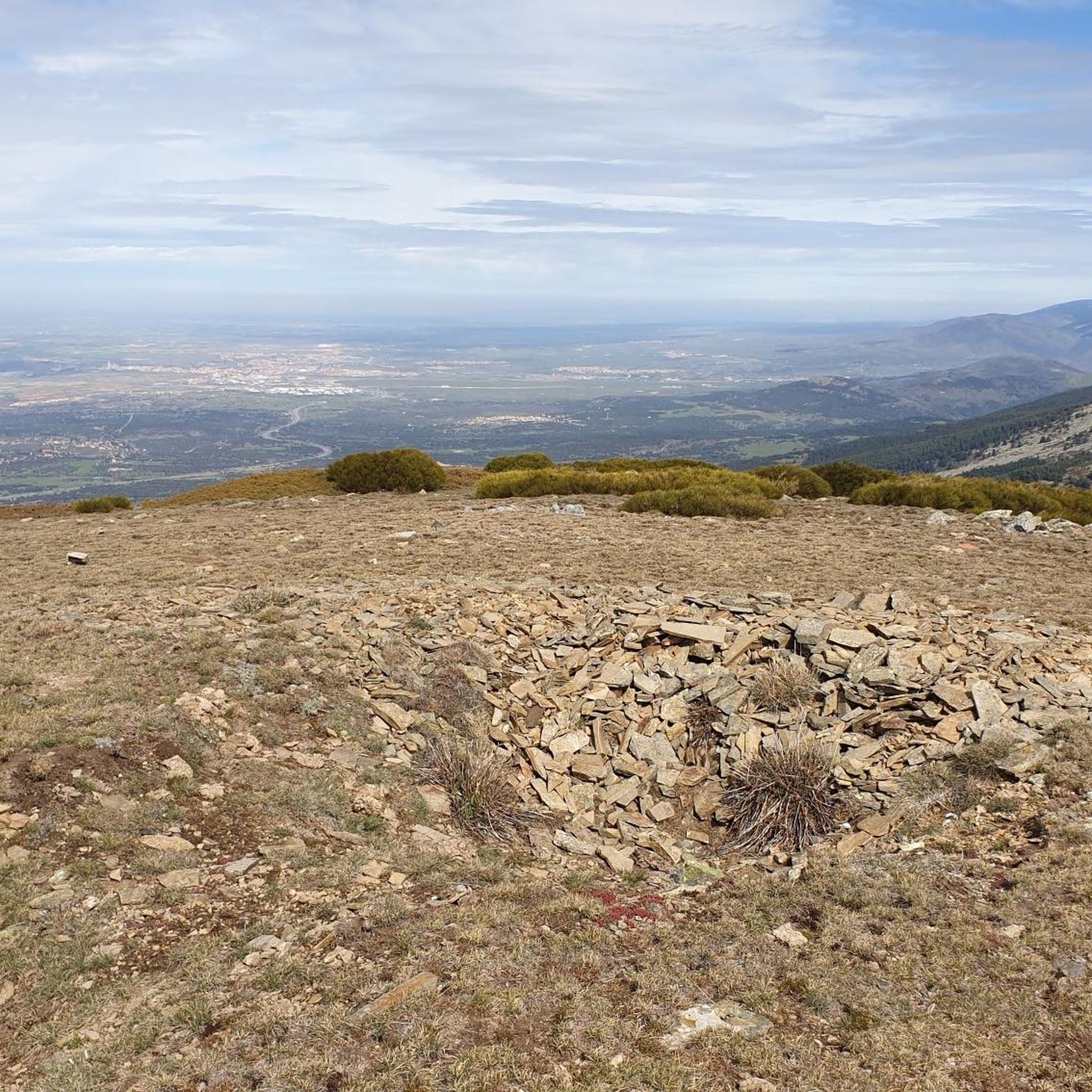
It is the peak that forms the chest of La Mujer Muerta, its altitude 2,196 m. It is practically the same as that of La Pinareja 2,197 m., (one meter less). The surrounding landscape is unique.
1
0
Pasapán Peak is the last one when you tour the Dead Woman from head to toe. It is the lowest altitude of this Hill, but it is a place of great charm and extraordinary landscape.
1
0
In one of the curves of the Track that comes from the Port of Pasapán, you have the opportunity to lean on the fence and admire the entire landscape of the Milanillos River basin. There are people who go down the shortcut of stones, (with great danger), I recommend continuing along the track even if it takes a small detour.
1
0
Between the Cerro de La Mujer Muerta and the Sierra del Quintanar. Between the Moros River and the Milanillos River. Crossroads, it is a very suitable place to stop on your route and enjoy a rest.
1
0
The Puerto de Pasapan (1,846m) is a mythical port in the area of the Guadarrama mountain range in the so-called Mujer Muerta range. Once the month of October arrives, the Moros River Gorge, closed from July to October due to fire risk, will reopen. La Mujer Muerta is a mountain range in the central area of the Sierra de Guadarrama and belonging to the province of Segovia.
0
0
Frequently Asked Questions
What kind of terrain can I expect on hikes around Ortigosa del Monte?
The terrain around Ortigosa del Monte is diverse, ranging from mountainous paths in the Sierra de Guadarrama to unique granite boulder landscapes in areas like El Berrocal. You'll find mixed forests with oak, ash, and holm oak trees, as well as riparian vegetation along rivers like the Molinillos and Madrones. Many trails feature traditional stone fences and cross wooden bridges, offering varied scenery.
Are there easy hiking options suitable for beginners in Ortigosa del Monte?
Yes, Ortigosa del Monte offers several easier routes. For instance, the "Sendero Ortigosa del Monte" is a 4 km circular route starting from the town hall, taking about an hour. Another accessible option is the "Ruta Ortigosa del Monte a La Losa por el Camino de la Mora," which has both 3.5 km and 6 km options, suitable for all audiences and offering views of holm oaks and the Sierra de la Mujer Muerta.
What are some challenging long-distance hikes in the area?
For experienced hikers seeking a challenge, the region offers several demanding routes. The La Mujer Muerta Circular Trail is a difficult 23.7 km route with significant elevation gain, taking over 8 hours to complete. Another challenging option is the The Dead Woman – Peña del Oso (2,196 m) loop from Rancho la Becea, a 22.5 km trail leading through high peaks of the Sierra de Guadarrama.
What unique natural features can I discover while hiking in Ortigosa del Monte?
The area is rich in natural wonders. You can explore El Berrocal, known for its large, rounded granite rock formations, some resembling menhirs. The region is also home to the renowned Bezoya mineral water spring, originating from naturally filtered mountain water. You'll also encounter diverse mixed forests and rivers like the Molinillos and Madrones.
Are there any prominent viewpoints or scenic spots on the trails?
Absolutely. The iconic La Mujer Muerta mountain range offers magnificent views, especially from trails like the La Mujer Muerta Circular Trail. The Seven Peaks, a striking granite ridge, is another popular attraction providing panoramic vistas of the Sierra de Guadarrama.
Can I find waterfalls along the hiking routes?
Yes, there are several beautiful waterfalls to discover. Notable ones include Ducha de los Alemanes and the Small Waterfall on the Pradillo River. These natural attractions are often found along routes that follow the region's rivers and streams.
Are there any historical points of interest to explore on the trails?
For those interested in history, a well-preserved section of the Roman Road of Puerto de la Fuenfría offers a glimpse into ancient transportation routes through the Sierra de Guadarrama. The village of Ortigosa del Monte itself also retains much of its 13th-century character, providing a historical ambiance.
Are there family-friendly hiking trails in Ortigosa del Monte?
Yes, the area offers routes suitable for families. The "Ruta Ortigosa del Monte a La Losa por el Camino de la Mora" is a good example, with shorter options (3.5 km) that are accessible for all ages. These trails often pass through pleasant landscapes with holm oaks and ash trees, making them enjoyable for a family outing.
Can I bring my dog on the hiking trails around Ortigosa del Monte?
Many trails in the Ortigosa del Monte area are dog-friendly, allowing you to enjoy the natural beauty with your canine companion. It's always advisable to keep your dog on a leash, especially in areas with grazing cattle or wildlife, and to check for any specific local regulations or protected areas where dogs might be restricted.
Are there circular hiking routes available?
Yes, circular routes are a popular way to explore the region. The "Sendero Ortigosa del Monte" is a 4 km circular route starting and ending in the village. For more challenging options, the La Mujer Muerta Circular Trail and the Puente Negro Shelter – Tejo Reservoir loop from Casa Forestal Molino del Caballo are excellent choices for longer, more demanding circular hikes.
When is the best time of year to go hiking in Ortigosa del Monte?
Ortigosa del Monte, due to its elevation, enjoys a pleasant, cool climate throughout the year. Spring and autumn are particularly ideal, with mild temperatures and vibrant natural colors. Summer offers a refreshing escape from the heat of lower altitudes, while winter can provide opportunities for snowy landscapes, though some higher trails may require appropriate gear.
Is parking available near the trailheads in Ortigosa del Monte?
Yes, parking is generally available in and around Ortigosa del Monte, particularly near the village center and designated starting points for popular trails. For routes like the "Sendero Ortigosa del Monte," you can often find parking close to the town hall. For routes starting from specific points like Casa Forestal Molino del Caballo or Rancho la Becea, there are usually parking areas provided.
What do other hikers enjoy most about the trails in Ortigosa del Monte?
The trails in Ortigosa del Monte are highly rated by the komoot community, with an average score of 4.6 stars from over 800 reviews. Hikers often praise the diverse landscapes, from the unique granite formations of El Berrocal to the serene river valleys and the challenging ascents in the Sierra de Guadarrama. The well-maintained paths and the opportunity to explore both natural beauty and historical elements are frequently highlighted.
Most popular routes around Ortigosa Del Monte
Most popular attractions around Ortigosa Del Monte

Get inspired with the komoot mobile app


Explore more
Browse the best Hikes in other regions.
