The best mountain hikes around Ortigosa Del Monte
4.0
(1)
19
hikers
4
hikes
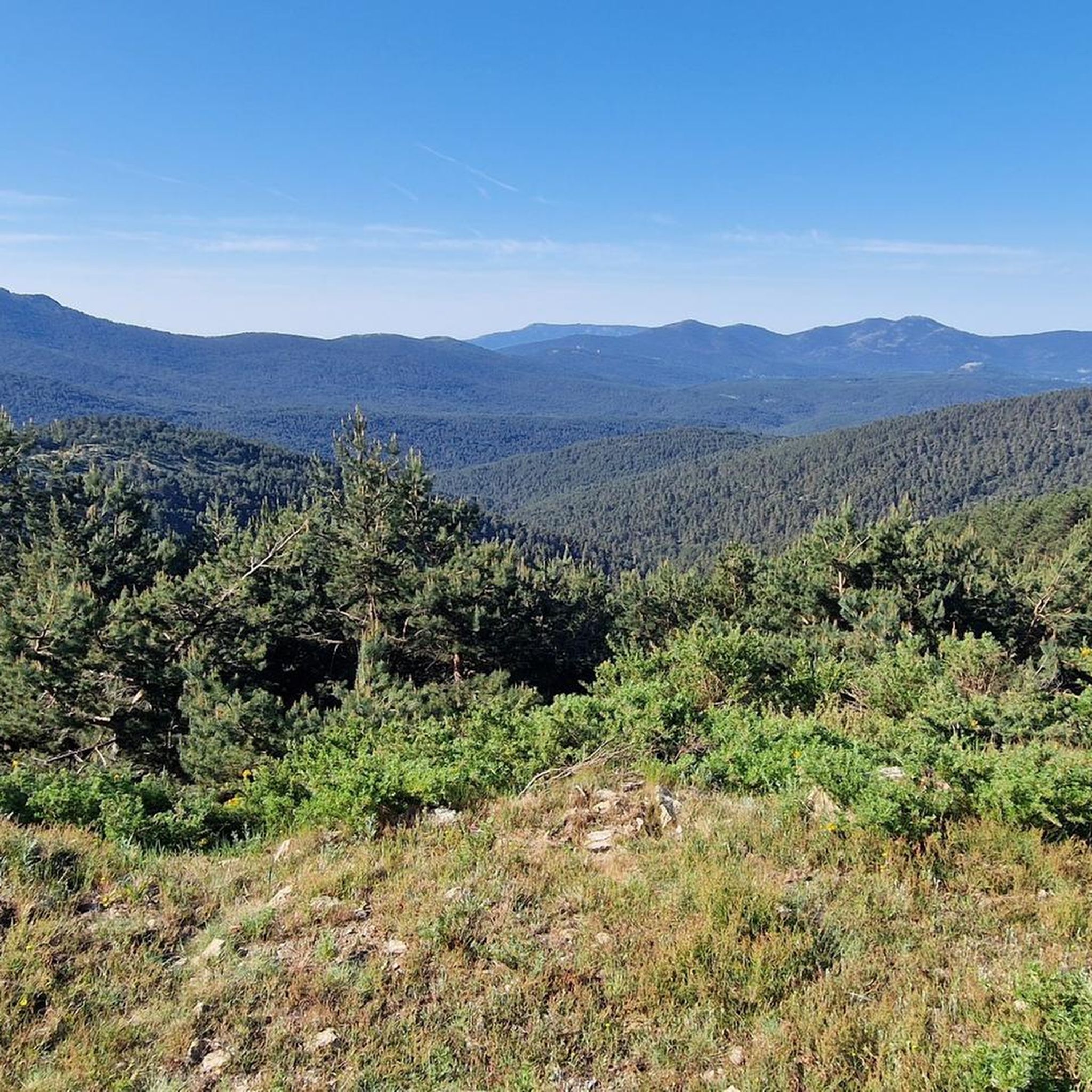
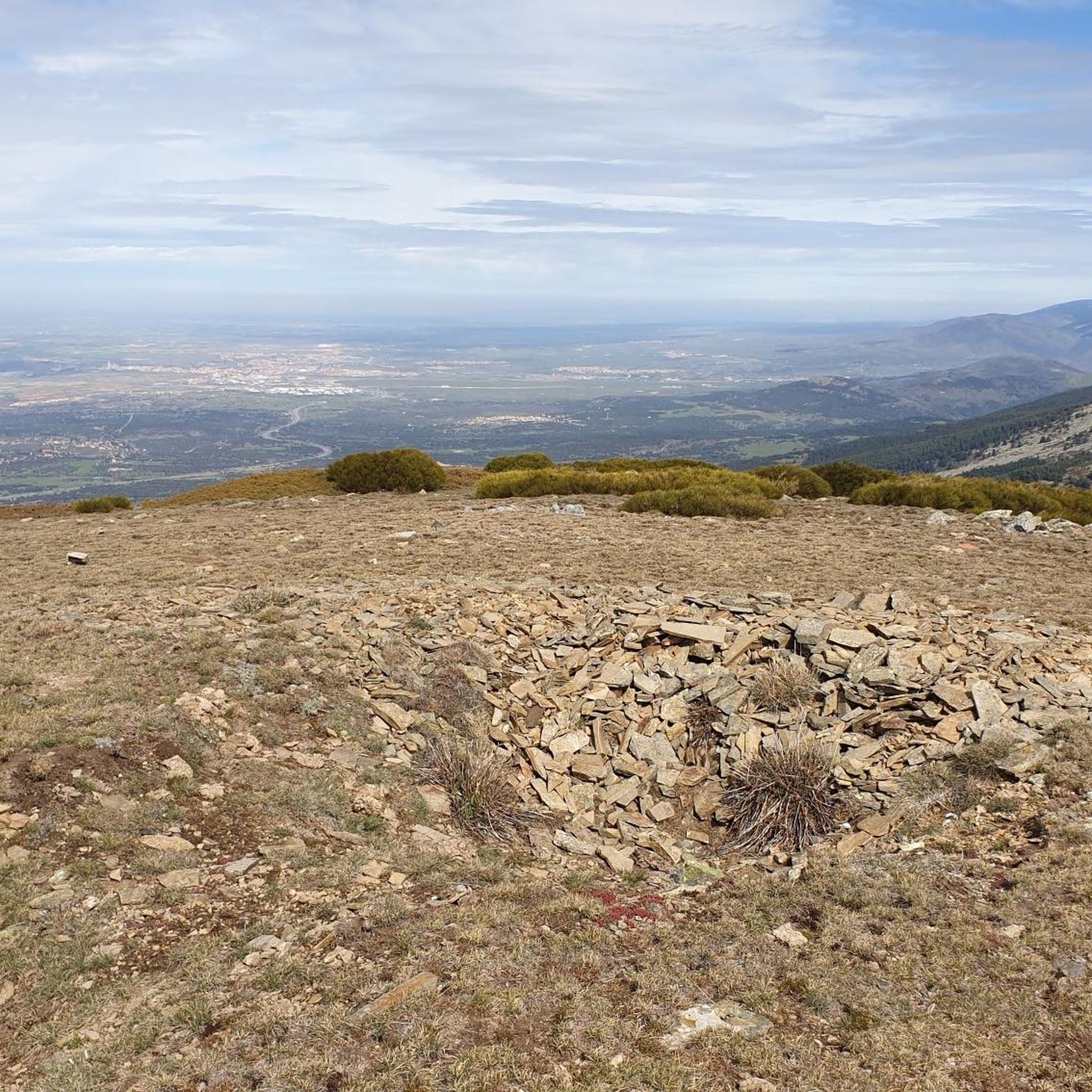
Mountaineering routes around Ortigosa Del Monte are situated within the Sierra de Guadarrama, a mountain range known for its diverse terrain. The region features significant granite formations, particularly in areas like El Berrocal, alongside mixed forests of oak, ash, and holm oak. These routes often involve considerable elevation gain, leading to prominent peaks and offering expansive views across the landscape. The area provides access to the higher elevations of the Sierra de Guadarrama, including popular destinations like Siete Picos.
Best…
Last updated: May 20, 2026
4.0
(1)
4
hikers
12.4km
05:36
780m
780m
Hard mountaineering route. Very good fitness required. Sure-footedness, sturdy shoes and alpine experience required.
7
hikers
10.1km
04:50
770m
770m
Hard mountaineering route. Good fitness required. Sure-footedness, sturdy shoes and alpine experience required.

Sign up for free
4
hikers
8.85km
03:53
630m
630m
Moderate mountaineering route. Good fitness required. Mostly accessible paths. Sure-footedness required.
Our route recommendations are based on thousands of hikes, rides, and runs completed by other people on komoot.
Start today with a free account
Your next adventure awaits.
Login or Signup
Popular around Ortigosa Del Monte
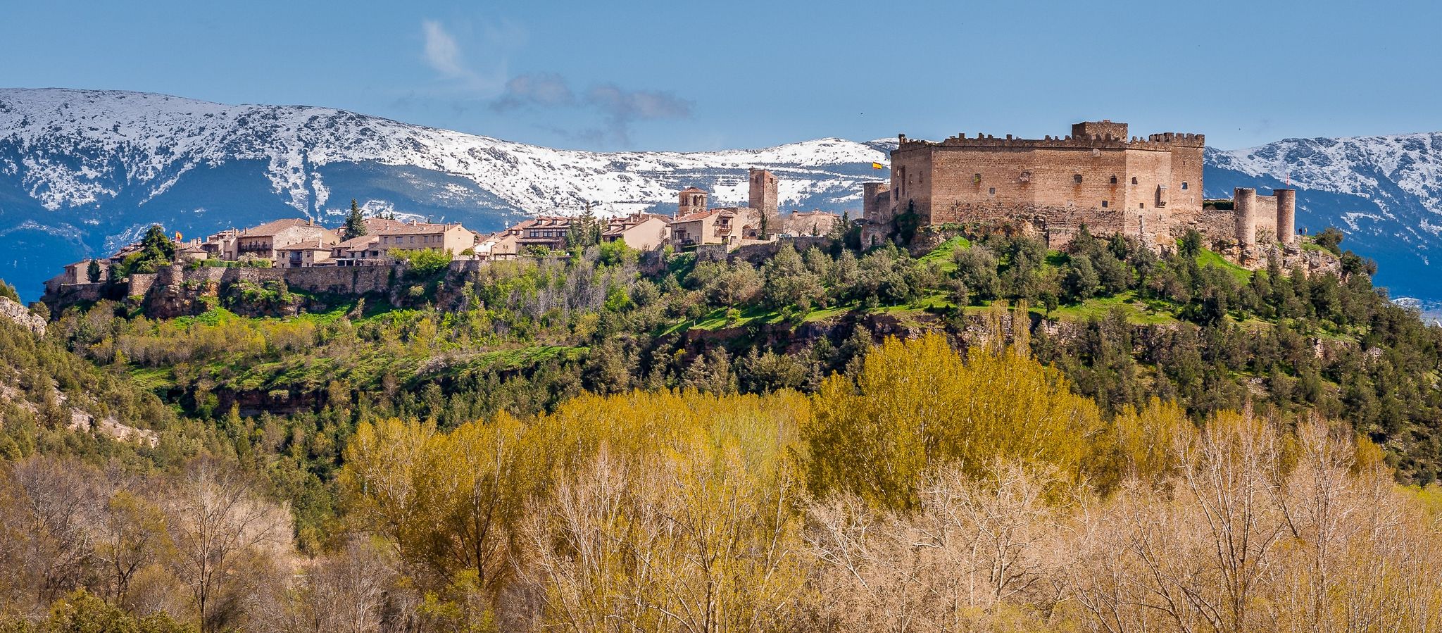
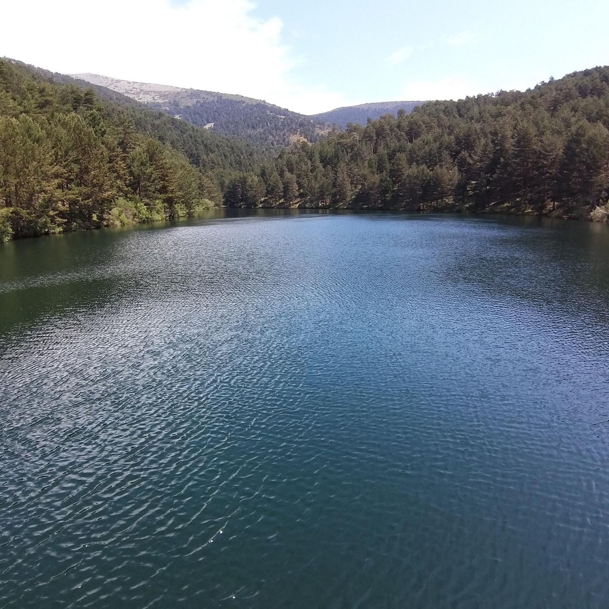
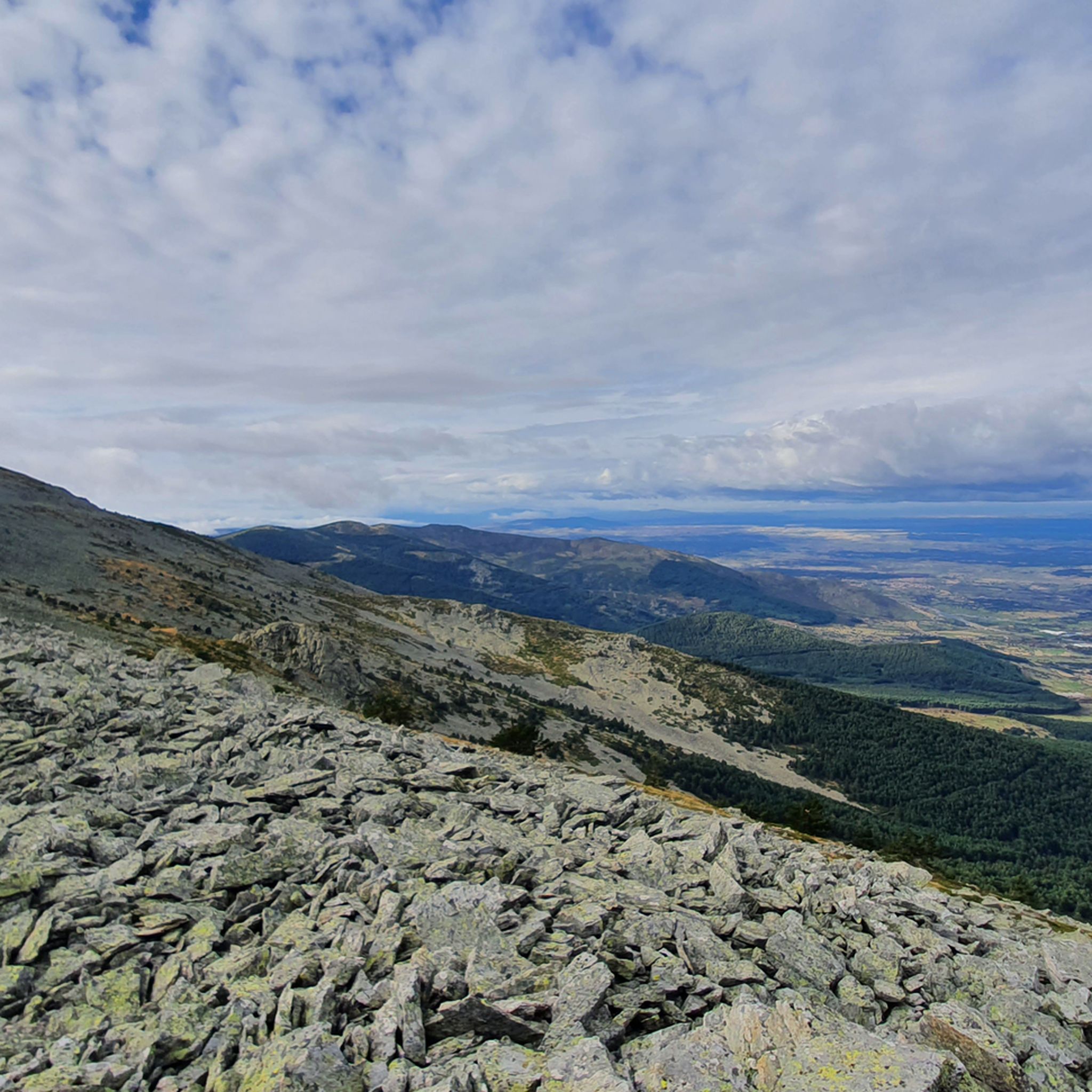
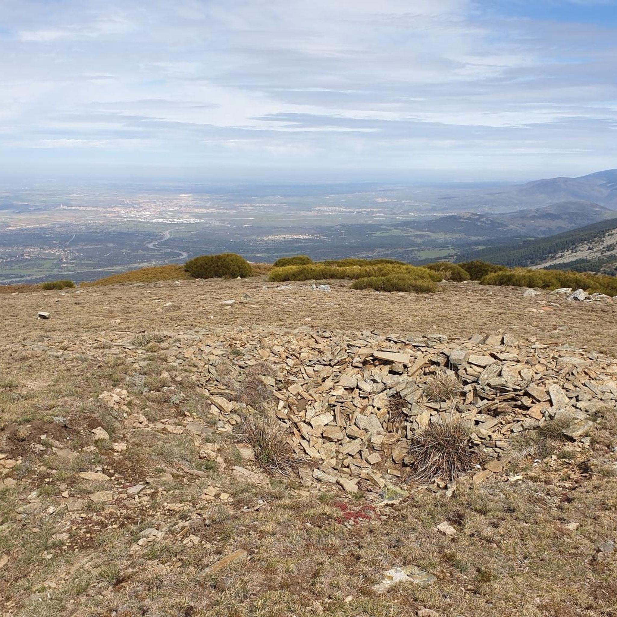

Other adventures around Ortigosa Del Monte

Tips from the Community

Exceptional water, which even people from the village come to collect.
0
0

The Descalzo Bridge is one of the best-known bridges on the Fuenfría Roman Road in Cercedilla. Although long attributed to its Roman origin, more recent research suggests that, although the road crossed here in Roman times, the bridge itself may have been built or heavily modified in the 18th century (Bourbon era). Despite this, it is located on an important section of the Roman road that connected Segovia with Titulcia and has been restored several times, maintaining its original structure. It is a masonry bridge with a single arch and blends perfectly into the natural surroundings, being part of a popular hiking trail in the Sierra de Guadarrama. Both the bridge and the road have been declared a National Historic, Artistic, and Archaeological Site.
0
0
The Descalzo Bridge is one of the best-known bridges on the Roman Road of Fuenfría, in Cercedilla. Although long attributed to its Roman origin, more recent research suggests that, although the road crossed here in Roman times, the bridge itself may have been built or heavily modified in the 18th century (Bourbon era). Despite this, it is located on an important section of the Roman road that linked Segovia with Titulcia, and has been restored several times, maintaining its original structure. It is a masonry bridge with a single arch and blends perfectly into the natural environment, being part of a popular hiking trail in the Sierra de Guadarrama (the Schmith Way). Both the bridge and the road have been declared a National Historic, Artistic, and Archaeological Site.
0
0
It's cool to stop and listen to the water fall
0
0
The Camino Purricelli in Cercedilla is an ancient road that is part of the rich historical and natural heritage of the Sierra de Guadarrama. Its origin dates back to the late 19th and early 20th centuries, when it was built as a forest road to facilitate access and transport of wood from the dense forests of the area.
0
0
It is one of the few peaks that has a name, the others except the first peak, Majalasna, are numbered.
0
0

Be careful with the cows, bulls and their calves that graze in the meadow, on the mountain and on the slope. You will see their excrement on the path and you will hear them from afar because of their bells, but seeing them will be more difficult among the undergrowth and rocky obstacles. Be careful, leave them alone and go around the area where they are.
0
0

It gets its name from its silhouette, since its rope is made up of 7 granite peaks.
0
0
Frequently Asked Questions
What kind of terrain can I expect on mountaineering routes around Ortigosa del Monte?
The region is characterized by significant granite formations, especially in areas like El Berrocal, which features dramatic landscapes of large, round granite rocks. You'll also find well-preserved mixed forests of oak, ash, and holm oak, alongside high mountain passes and prominent peaks within the Sierra de Guadarrama.
Are there any easy mountaineering routes for beginners?
While most mountaineering routes in this guide are considered moderate to difficult, Ortigosa del Monte is an excellent base for exploring the broader Sierra de Guadarrama. For a relatively easy introduction to the area's trails, consider the Camino de la Mora, a circular path that offers magnificent views of the Sierra de la Mujer Muerta, though it's more of a hike than a technical mountaineering route.
What are some challenging mountaineering routes in the area?
For those seeking a challenge, the Siete Picos – Second Peak – Senda Herreros loop from Estación de Camorritos is a difficult 7.8-mile (12.5 km) trail with challenging ascents to the Siete Picos range. Another demanding option is the La Peñota Peak – La Peñota loop from Cercedilla, a 6.2-mile (10.0 km) path featuring significant elevation changes and panoramic views.
Can I find circular mountaineering routes near Ortigosa del Monte?
Yes, there are several circular options. The Siete Picos – Second Peak – Senda Herreros loop from Estación de Camorritos and the La Peñota Peak – La Peñota loop from Cercedilla are both popular circular routes. Additionally, the Cerro Minguete – Montón de Trigo loop from Ferrocarril de Cotos offers a circular journey through high mountain terrain.
What do other mountaineers say about the routes around Ortigosa del Monte?
The mountaineering routes in this area are highly rated by the komoot community, with an average score of 4.0 stars. Users often praise the challenging ascents, expansive views, and the unique granite landscapes of the Sierra de Guadarrama.
Are there any interesting landmarks or attractions to see along the routes?
Yes, the region is rich in natural and historical points of interest. You might encounter the ancient Roman Road of Puerto de la Fuenfría, or enjoy views of the iconic Seven Peaks. Other natural highlights include Fuente de la Reina and the serene Los Corralitos Meadow.
Are there any lakes or reservoirs near the mountaineering trails?
Yes, the area features several beautiful bodies of water. You can find the Puente Alta Reservoir, enjoy Views of the Navalmedio Reservoir, or visit the Los Irrios Reservoir. These can offer a refreshing stop or scenic detour.
What is the best time of year for mountaineering in Ortigosa del Monte?
The Sierra de Guadarrama offers mountaineering opportunities year-round, but the best time often depends on your experience and preferred conditions. Spring and autumn provide pleasant temperatures and vibrant landscapes. Summer can be hot at lower elevations but is ideal for higher peaks. Winter mountaineering is possible but requires appropriate gear and experience due to snow and ice conditions.
Is Ortigosa del Monte suitable for winter mountaineering?
Yes, Ortigosa del Monte's proximity to the Sierra de Guadarrama National Park makes it a gateway for winter mountaineering. The higher elevations, including peaks like Siete Picos, can experience significant snowfall. Winter ascents offer stunning snowy vistas but require specialized equipment such as crampons, ice axes, and knowledge of avalanche safety.
Are there any routes that pass through mountain passes?
Many routes in the Sierra de Guadarrama involve traversing mountain passes. For example, the Cerro Minguete – Peña el Águila loop from Ferrocarril de Cotos leads through high mountain terrain, characteristic of the passes in the region. The Alto del León is a notable mountain pass in the vicinity.
What kind of wildlife might I encounter on the trails?
The mixed forests and high mountain environments around Ortigosa del Monte are home to diverse wildlife. You might spot various bird species, including raptors, and potentially encounter mammals such as deer, wild boar, or even mountain goats in the higher reaches of the Sierra de Guadarrama. The well-preserved forests of El Berrocal are particularly good for observing local flora and fauna.
Most popular routes around Ortigosa Del Monte
Most popular attractions around Ortigosa Del Monte

Get inspired with the komoot mobile app


Explore more
Browse the best Mountain Hikes & Routes in other regions.
