The best walks and hikes around Fuensanta De Martos
4.6
(57)
169
hikers
30
hikes
Hiking around Fuensanta De Martos offers routes through a landscape characterized by rolling hills, reservoirs, and historical sites. The region features a mix of rural paths, often passing through olive groves, and trails leading to ancient castles. Hikers can explore varied terrain, from gentle reservoir loops to more challenging ascents towards elevated viewpoints.
Best hiking trails around Fuensanta De Martos
- The most popular hiking route is Víboras Reservoir Loop Trail, an 8.9 miles (14.4 km) trail that takes 3…
Last updated: July 4, 2026
4.9
(7)
24
hikers
14.4km
03:48
130m
140m
Hike the moderate 8.9-mile (14.4 km) Tour around the Viboras reservoir, offering scenic views of the water and olive groves in Jaén.
4
hikers
5.62km
01:51
200m
200m
Moderate hike. Great for any fitness level. Mostly accessible paths. Sure-footedness required.

Sign up for free
1
hikers
4.50km
01:16
100m
90m
Easy hike. Great for any fitness level. Easily-accessible paths. Suitable for all skill levels.
1
hikers
8.51km
02:26
200m
200m
Moderate hike. Good fitness required. Easily-accessible paths. Suitable for all skill levels.
5.0
(1)
10
hikers
19.2km
06:03
790m
790m
Hard hike. Very good fitness required. Easily-accessible paths. Suitable for all skill levels.
Get access to more routes and recommendations from other explorers.
Sign up for free
Already have an account?
Our route recommendations are based on thousands of hikes, rides, and runs completed by other people on komoot.
Start today with a free account
Your next adventure awaits.
Login or Signup

Tips from the Community

Valdepeñas de Jaén is a charming town, nestled between the impressive mountain ranges of the Sierra de la Pandera to the north and the Sierra de Alta Coloma to the southeast. The town was founded in 1539 and has a typical Renaissance townscape, characterized by a checkerboard pattern. In 1558, it received the status of an independent town. Valdepeñas de Jaén offers numerous sights, such as the Ermita de Chircales, a small chapel that reflects the region's spiritual history with religious paintings and the cave of a hermit. Another highlight is the Molino de Harina, a still-functioning water mill that offers a fascinating insight into traditional flour production. Nature lovers can discover the Chorreras del Río Vadillo, a series of natural waterfalls formed by the Vadillo River and surrounded by paths offering beautiful views. The region is also a paradise for outdoor activities such as cycling. The lush forests and picturesque landscape offer ideal conditions for cyclists who want to explore the beautiful Sierra Sur. A culinary experience is offered by the restaurant El Quejigo del Carbón, located on a hill, which is known not only for its excellent cuisine but also for the breathtaking view of the surrounding landscape. Valdepeñas de Jaén is thus the perfect place to combine history, nature, culture, and sporting activities.
1
0

The top of the famous rise of the Pandera. Spectacular views of the surrounding landscape once the ascent to the Sierra de la Pandera is finished. Do not forget to breathe.
1
0
A small town on the banks of the Víboras river, between the Sierras del Trigo and Sierra de la Grana. One of the official starting points of the famous climb to the Sierra de la Pandera.
1
0

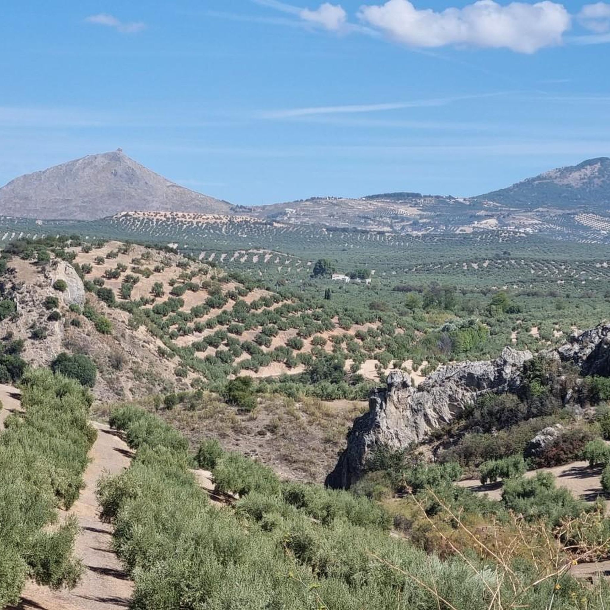
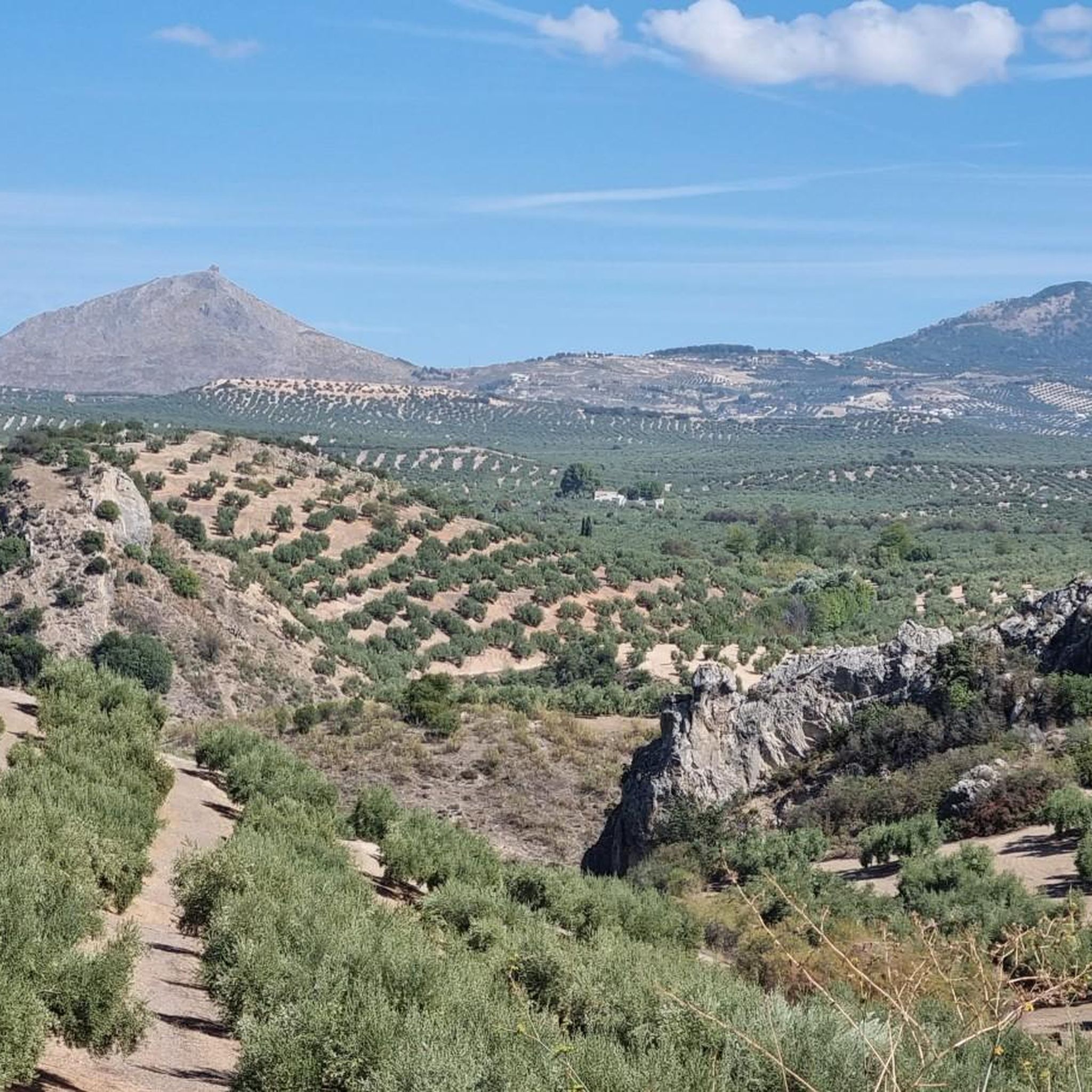
La Pandera with 1872 m of altitude is the highest point of the Sierra Sur de Jaén. At its summit is a military station.
2
0
Parish Church dated between the 16th and 17th centuries. Its main promoter was the architect and sculptor Juan de Reolid in 1539. During the Spanish Civil War the temple suffered significant damage, being restored and reformed by the architect Ramón Pajares Pardo in 1952.
2
0
Spanish municipality in the Sierra Sur region, southwest of the province of Jaén. It is located at an altitude of 920 meters and 31 kilometers from the provincial capital, Jaén. The city was founded in 1539, as a new settlement, within the project of colonization and repopulation of the Jaén mountains undertaken in 1508, after the normalization and definitive integration of the kingdom of Granada.
5
1
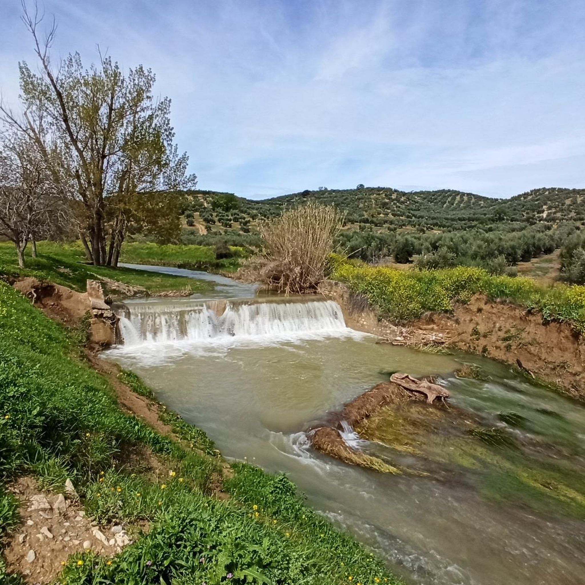
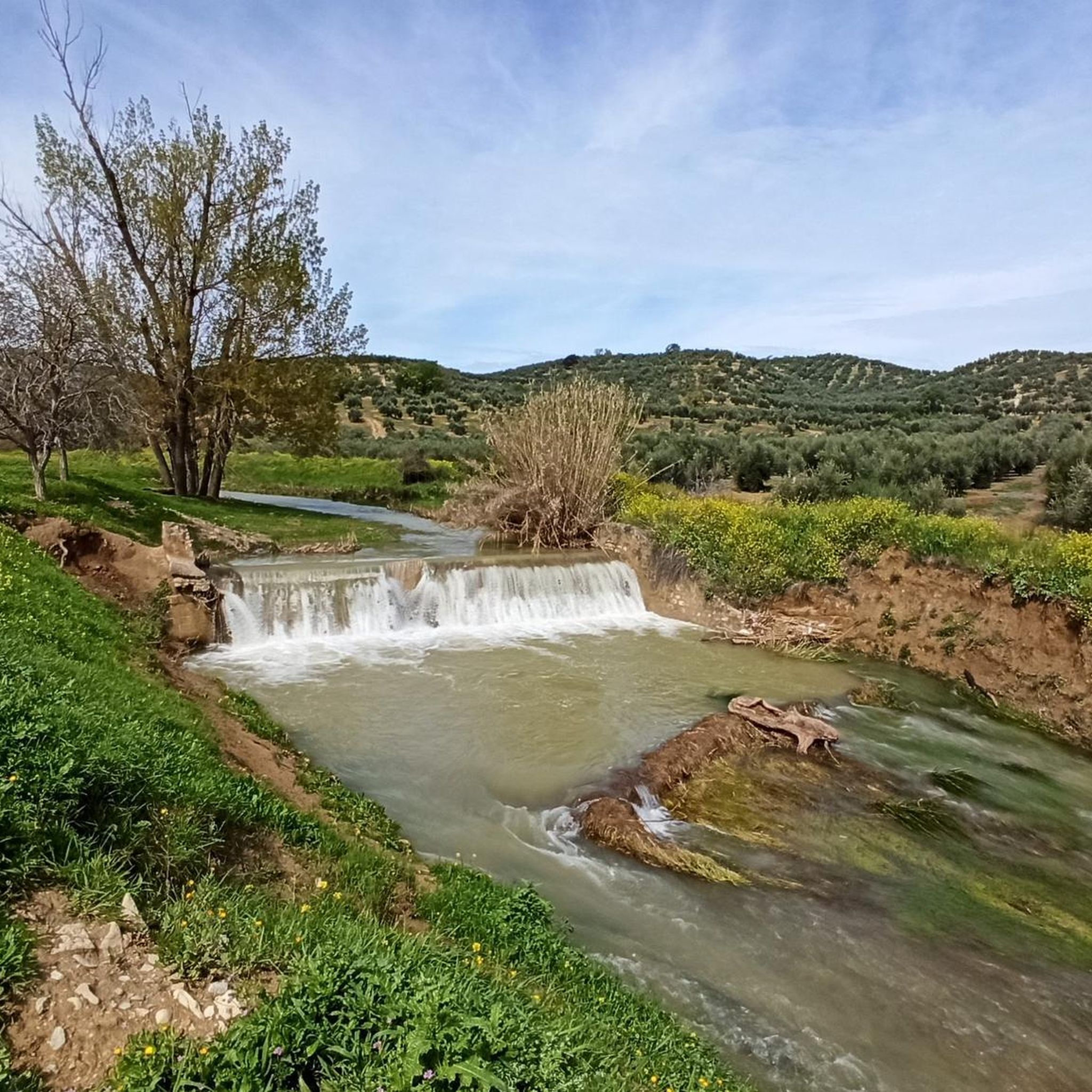
Storage reservoir built in the Víboras riverbed, in the province of Jaén, southern Spain. It has a useful capacity of 19.11 hm³, although its total capacity is 24 hm³.
2
0
Medieval fortification next to the Víboras River located in the town of Las Casillas, in the municipality of Martos. It has its origin in the construction of the 9th century
1
0
Frequently Asked Questions
How many hiking trails are available around Fuensanta De Martos?
There are over 25 hiking trails in the Fuensanta De Martos area, offering a variety of experiences from easy strolls to more challenging ascents.
Are there easy hiking trails suitable for beginners or families in Fuensanta De Martos?
Yes, the region offers 8 easy routes perfect for beginners or families. A good option is the Sendero de las Chorreras and city tour of Valdepeñas de Jaen, which is 2.8 miles (4.5 km) long and takes about 1 hour 16 minutes to complete, leading through natural features.
What kind of scenery can I expect on hikes around Fuensanta De Martos?
Hikes around Fuensanta De Martos feature a diverse landscape of rolling hills, serene reservoirs, and historical sites. You'll often pass through rural paths, extensive olive groves, and trails leading to ancient castles, offering a mix of natural beauty and cultural heritage.
Are there any circular walks in the Fuensanta De Martos area?
Yes, there are several circular routes available. A popular choice is Castillo de la Peña - circular from Martos, a moderate 3.5-mile (5.6 km) path that provides historical insights with views of the castle. Another option is the Castillo de la Encomienda de Víboras - circular from las Casillas.
What are some notable landmarks or attractions I can see while hiking?
The region is rich in points of interest. You can explore historical sites like the town of Martos, or natural features such as the Source of the San Juan River and the Río Frío Spring. Many routes also offer views of the Víboras Reservoir.
What do other hikers enjoy most about hiking in Fuensanta De Martos?
The area is highly rated by the komoot community, with an average score of 4.5 stars from over 40 reviews. Hikers often praise the diverse terrain, from reservoir paths to historical castle routes, and the well-maintained rural trails that offer varied experiences for different ability levels.
Are there any hikes that offer great views?
Many trails in the region provide excellent viewpoints, especially those leading to higher elevations or overlooking the reservoirs. The Jabalcuz fire lookout hut – Forest Guard Lookout Tower loop from Fuente de la Trinidad offers significant elevation gain and is likely to provide expansive views of the surrounding landscape.
What is the best time of year to go hiking in Fuensanta De Martos?
The best time to hike in Fuensanta De Martos is typically during the spring (March to May) and autumn (September to November) months. During these periods, the weather is generally mild and pleasant, avoiding the intense heat of summer and the cooler, potentially wetter days of winter, making for more comfortable hiking conditions.
Are there any trails that pass by water features like waterfalls or springs?
Yes, you can find trails that incorporate natural water features. The Sendero de las Chorreras is known for its natural features, and you can also find highlights like the Source of the San Juan River and the Río Frío Spring in the area.
Is there parking available at the trailheads?
While specific parking information for every trailhead isn't always detailed, most rural hiking areas in Spain, including those around Fuensanta De Martos, typically have designated or informal parking spots near popular starting points. It's advisable to check the individual route details on komoot for more precise parking suggestions before you go.
Can I bring my dog on the hiking trails?
Generally, dogs are welcome on most hiking trails in the Fuensanta De Martos region, especially on rural paths and through olive groves. However, it's always recommended to keep your dog on a leash, especially in areas with livestock or protected wildlife, and to check for any specific local regulations or signage at the trailhead.
Most popular routes around Fuensanta De Martos
Most popular attractions around Fuensanta De Martos

Get inspired with the komoot mobile app


Explore more
Browse the best Hikes in other regions.
