The best running trails around Griovių geomorfologinis draustinis
4.5
(137)
12,702
runners
259
runs
Jogging around Griovių geomorfologinis draustinis offers a dynamic experience through a unique and varied landscape. This region, situated near Vilnius on the right bank of the Neris River, is characterized by an erosional hilly complex with distinct ravine formations. The terrain features an "eroded sculptures park" with elevations ranging from 83 to 177 meters, providing a challenging and engaging environment for runners. The area is largely covered by the Giruliai forest, offering diverse arboreal scenery and shaded paths.
Best jogging routes around Griovių geomorfologinis draustinis
- The most popular jogging route is Gelūžės paplūdimys loop from Grioviai geomorphological reserve, a 9.4 miles (15.1 km) trail that takes 1 hour 40 minutes to complete, traversing varied terrain with notable elevation changes.
- Another top favourite among local runners is Running loop from Pilaitės seniūnija, a moderate 6.6 miles (10.7 km) path. This route offers a mix of forest paths and open sections, with views of the surrounding natural landscape.
- Local runners also love the Running loop from Grigiškės, a 4.0 miles (6.4 km) trail leading through diverse forest ecosystems, often completed in about 41 minutes.
- Jogging around Griovių geomorfologinis draustinis is defined by complex ravine formations, diverse forest ecosystems, and hills overlooking the Neris valley. The extensive network of paths offers options for various ability levels, from easy jogs to more challenging trail runs.
- The routes in Griovių geomorfologinis draustinis are highly rated by the komoot community with an average score of 4.5 stars from over 100 reviews. More than 11,000 runners have used komoot to explore Griovių geomorfologinis draustinis's varied terrain.
Last updated: July 10, 2026
4
runners
15.1km
01:38
140m
140m
Hard run. Very good fitness required. Mostly paved surfaces. Suitable for all skill levels.
8
runners
10.7km
01:10
80m
80m
Moderate run. Good fitness required. Mostly paved surfaces. Suitable for all skill levels.

Sign up for free
4
runners
6.36km
00:41
40m
40m
Moderate run. Good fitness required. Mostly paved surfaces. Suitable for all skill levels.
29
runners
22.4km
02:20
170m
170m
Hard run. Very good fitness required. Mostly paved surfaces. Suitable for all skill levels.
8
runners
7.92km
00:53
40m
40m
Moderate run. Good fitness required. Mostly paved surfaces. Suitable for all skill levels.
Get access to more routes and recommendations from other explorers.
Sign up for free
Already have an account?
Our route recommendations are based on thousands of hikes, rides, and runs completed by other people on komoot.
Start today with a free account
Your next adventure awaits.
Login or Signup
Popular around Griovių geomorfologinis draustinis
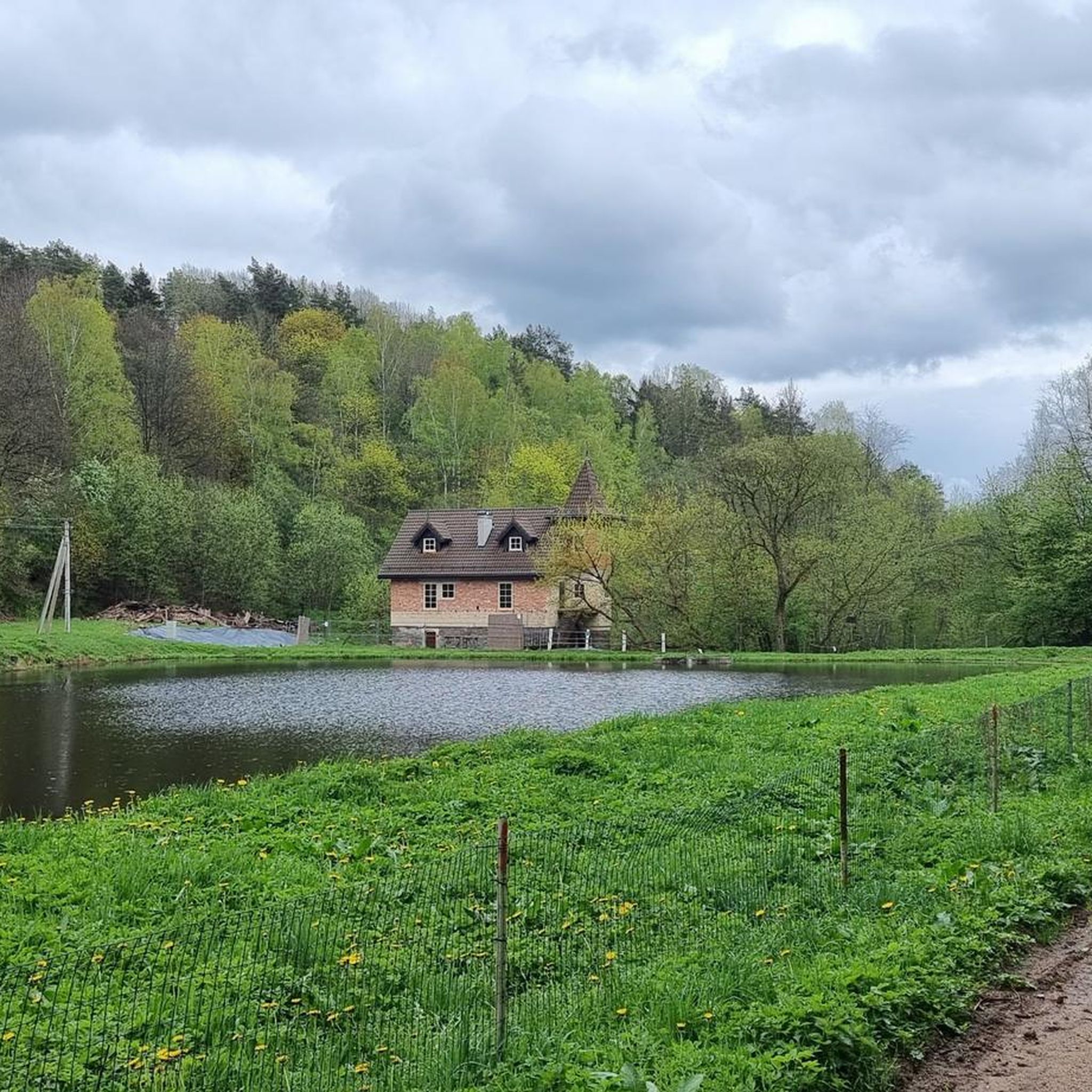
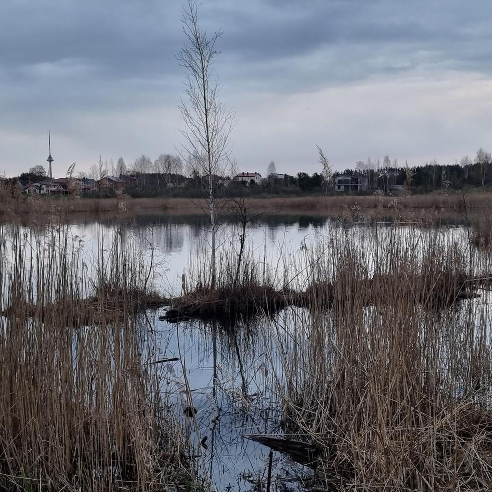
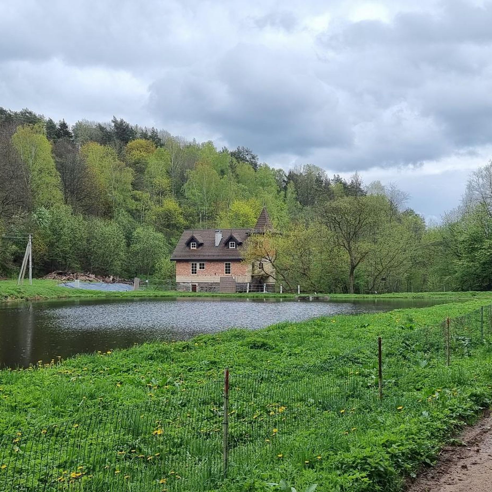
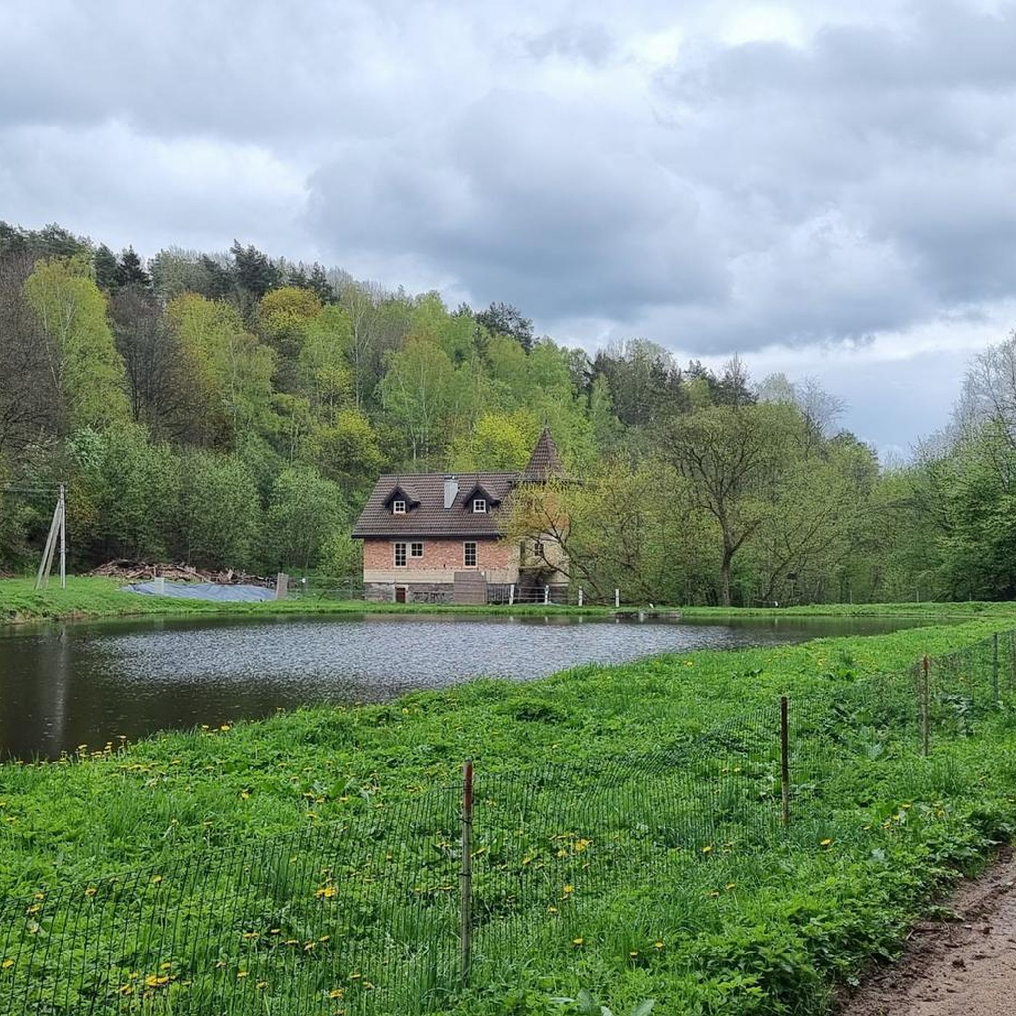
Tips from the Community

The Neris (Lithuanian Neris, Polish Wilia, Belarusian Вілія, Wilija) is a river in Belarus and Lithuania. It rises in northern Belarus, flows through the Lithuanian capital Vilnius and the medium-sized town of Jonava and flows into the Neman in Kaunas. On the Belarusian side, it is dammed up at Vileyka to form the Vileiskoye reservoir. In Vilnius, the river is partly concreted in, but otherwise natural and not straightened. In Kernavė, on the banks of the Neris, are the remains of the old Lithuanian ruler's residence, which are under UNESCO protection (Wikipedia).
2
1

One of the most famous stones in Žvērynas is a stone with Gediminaičiai pillars carved in a circle, located on the right bank of the Neris River. in 1958 local explorer Vladas Šaulys found the stone in the river bed. According to historians, the Gediminai's pillars could have been carved in Žvēryn stone as early as the 15th century. Such a stone could mark the boundaries of the lands of the great duke in the vicinity of Vilnius. in 1988 The menagerie stone was included in the list of archaeological monuments of republican significance, and in 1992 entered in the list of cultural values of Lithuania.
2
0

Actually a summer cinema, the screen is stretched between the pillars. Certainly a great experience on the Neris. But not at the end of March. I christened it "Fischkiekerbank" because when it rains the fish also seek shelter under the bridge and are therefore easy to observe. 😅 🌦 🤣 🌧 🙃 🌧 😁 🌦 🤔
0
0


No cycle lines on this bridge, so walk area can be used for bicycles.
1
0

Did you know? Near the end of the river path stands the Gediminas stone. According to historians, a mysterious boulder marked the boundaries of the land of the Grand Duke in the city in the 15th century.
0
0
Did you know? On the stage in Vingis Park in 1997. During the farewell concert of the Foje group, a record number of people gathered - over 60 thousand.
1
0
Frequently Asked Questions
How many running trails are available in Griovių geomorfologinis draustinis?
There are over 290 running routes available in Griovių geomorfologinis draustinis, offering a wide range of options for all skill levels.
What is the terrain like for jogging in Griovių geomorfologinis draustinis?
The terrain is characterized by a unique 'eroded sculptures park' with numerous ravines and hills, sculpted by natural processes. You'll find varied elevations, from 83 to 177 meters, providing a dynamic and engaging experience. The majority of the reserve is covered by the Giruliai forest, offering diverse arboreal landscapes and shaded paths.
What makes the running routes in Griovių geomorfologinis draustinis unique?
The reserve stands out for its complex and scenic relief, featuring distinct ravine formations and an 'eroded sculptures park'. Runners can enjoy diverse forest ecosystems, including spruce, pine, and oak groves, along with panoramic views of the deep Neris valley from various hilltops. Several springs also form small streams, adding to the natural beauty.
What do other runners say about the trails here?
The running routes in Griovių geomorfologinis draustinis are highly rated by the komoot community, with an average score of 4.5 stars from over 100 reviews. More than 11,000 runners have explored the varied terrain, often praising the challenging relief and diverse natural surroundings.
Are there easy jogging routes for beginners?
Yes, out of the nearly 300 routes, about 40 are classified as easy, making them suitable for beginners or those looking for a less strenuous run. An example of an easy route is the Gelūžės paplūdimys loop from Pilaitės seniūnija, which is 4.7 km long.
Are there challenging trails for experienced runners?
Absolutely. For experienced runners seeking a challenge, there are approximately 35 difficult routes. These trails often feature significant elevation changes and more rugged terrain. A notable difficult option is the Gelūžės paplūdimys loop from Grioviai geomorphological reserve, spanning over 15 km with considerable ascents and descents.
Are there any loop running trails in the reserve?
Yes, many of the running routes in Griovių geomorfologinis draustinis are designed as loops, allowing you to start and finish at the same point. For instance, the Running loop from Pilaitės seniūnija is a popular moderate 10.7 km loop, and the Running loop from Grigiškės offers a shorter 6.4 km option.
Is Griovių geomorfologinis draustinis accessible by public transport?
While the reserve is situated near Vilnius, specific public transport routes directly to trailheads within the draustinis might require some planning. It's advisable to check local bus schedules to nearby residential areas like Pilaitė or Grigiškės, and then plan a short walk to the reserve's entry points.
Where can I park my car when visiting the reserve for a run?
Parking information for Griovių geomorfologinis draustinis is not explicitly detailed, but visitors typically find parking in designated areas near the reserve's main access points or in adjacent residential zones. Always ensure you park legally and respectfully.
Can I bring my dog along on the jogging routes?
Generally, natural reserves in Lithuania are dog-friendly, provided dogs are kept on a leash and owners clean up after them. Given the extensive forest paths, it's likely you can bring your dog, but always check for specific signage or regulations at the reserve's entrance to ensure compliance.
Are the running trails suitable for families with children?
The reserve offers a variety of trails, including easier and moderate options, which can be suitable for families with children, especially for a leisurely jog or walk. The diverse forest and natural features provide an engaging environment. However, some routes, particularly those with significant elevation changes and rugged terrain, might be more challenging for very young children.
What natural features or viewpoints can I expect to see while jogging?
As you jog through Griovių geomorfologinis draustinis, you'll encounter a dynamic landscape of ravines and hills, often referred to as an 'eroded sculptures park'. The trails wind through diverse forests of spruce, pine, and oak. From higher points, you can enjoy excellent views of the deep Neris valley, and you might also spot small streams formed by springs within the reserve.
What is the best time of year to go jogging in Griovių geomorfologinis draustinis?
The reserve offers a pleasant jogging experience throughout much of the year. Spring and autumn provide comfortable temperatures and beautiful foliage. Summer offers shaded paths through the dense Giruliai forest, while winter can transform the landscape into a picturesque snowy scene, though some trails might be more challenging due to snow or ice. Always consider weather conditions and appropriate gear for the season.
Most popular routes around Griovių geomorfologinis draustinis

Get inspired with the komoot mobile app


Explore more
Browse the best Running Trails & Routes in other regions.
