The best MTB trails around Griovių geomorfologinis draustinis
4.6
(332)
2,958
riders
148
rides
Griovių geomorfologinis draustinis mountain bike trails navigate a distinctive landscape shaped by glacial meltwaters, featuring an "erosional sculpture park" of ravines and hilly terrain. The elevation within the reserve ranges from 83 meters to 177 meters, providing varied gradients for cycling. The area is predominantly covered by the Giruliai forest, offering diverse tree types and shaded paths. Views of the deep Neris River valley are accessible from higher points within the reserve.
Best mountain bike trails in Griovių geomorfologinis draustinis
…Last updated: July 10, 2026
5.0
(1)
8
riders
Moderate mountain bike ride. Great for any fitness level. Advanced riding skills necessary.
16
riders
7.53km
00:44
140m
140m
Hard mountain bike ride. Great for any fitness level. Advanced riding skills necessary. Some portions of the route may require you to push your bike.

Sign up for free
4.0
(1)
5
riders
21.9km
01:19
200m
200m
Easy mountain bike ride. Great for any fitness level. Suitable for all skill levels.
4.3
(6)
48
riders
67.2km
04:46
470m
470m
Moderate mountain bike ride. Good fitness required. Suitable for all skill levels.
3.4
(5)
12
riders
19.9km
01:28
200m
200m
Moderate mountain bike ride. Great for any fitness level. Advanced riding skills necessary.
Get access to more routes and recommendations from other explorers.
Sign up for free
Already have an account?
Our route recommendations are based on thousands of hikes, rides, and runs completed by other people on komoot.
Start today with a free account
Your next adventure awaits.
Login or Signup
Popular around Griovių geomorfologinis draustinis
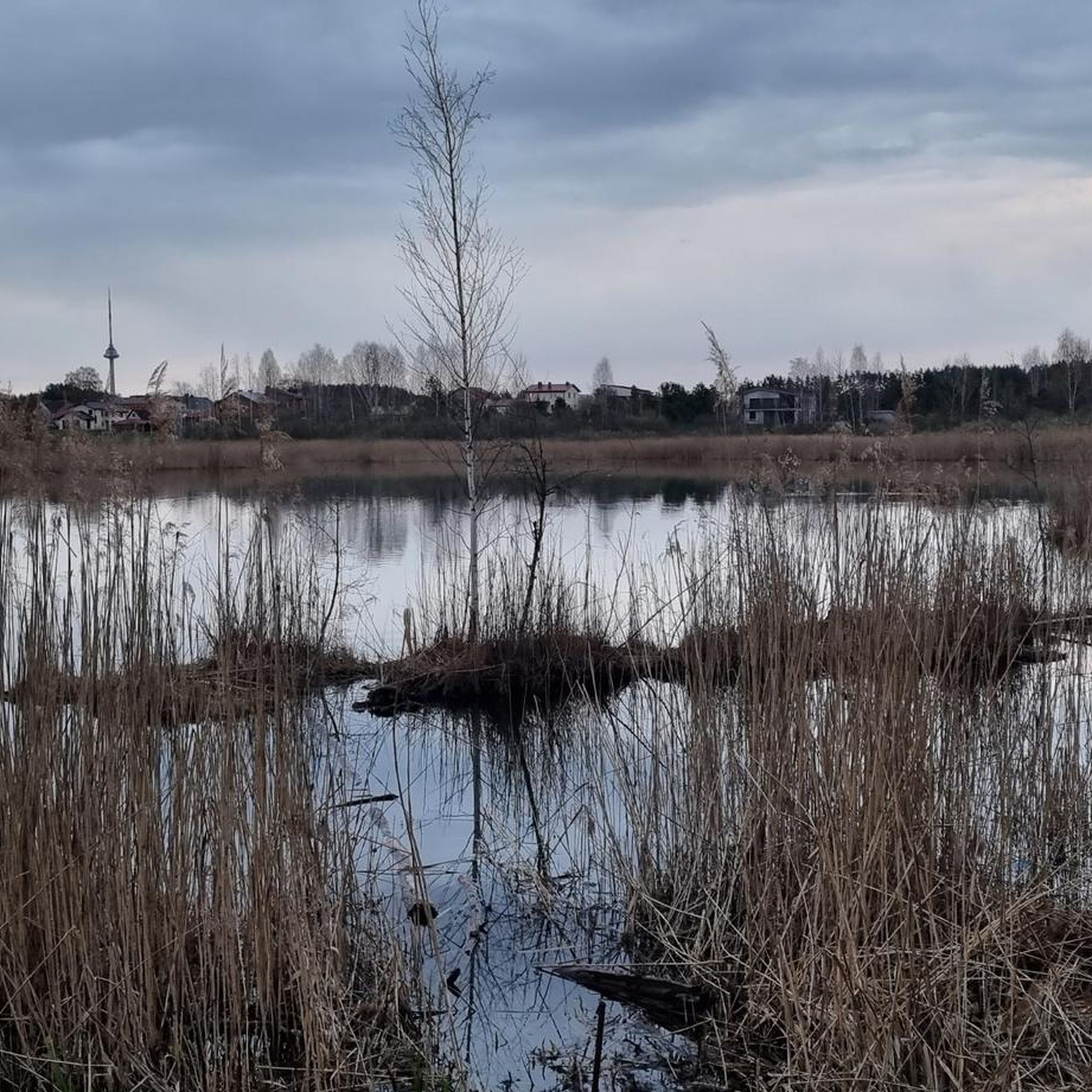
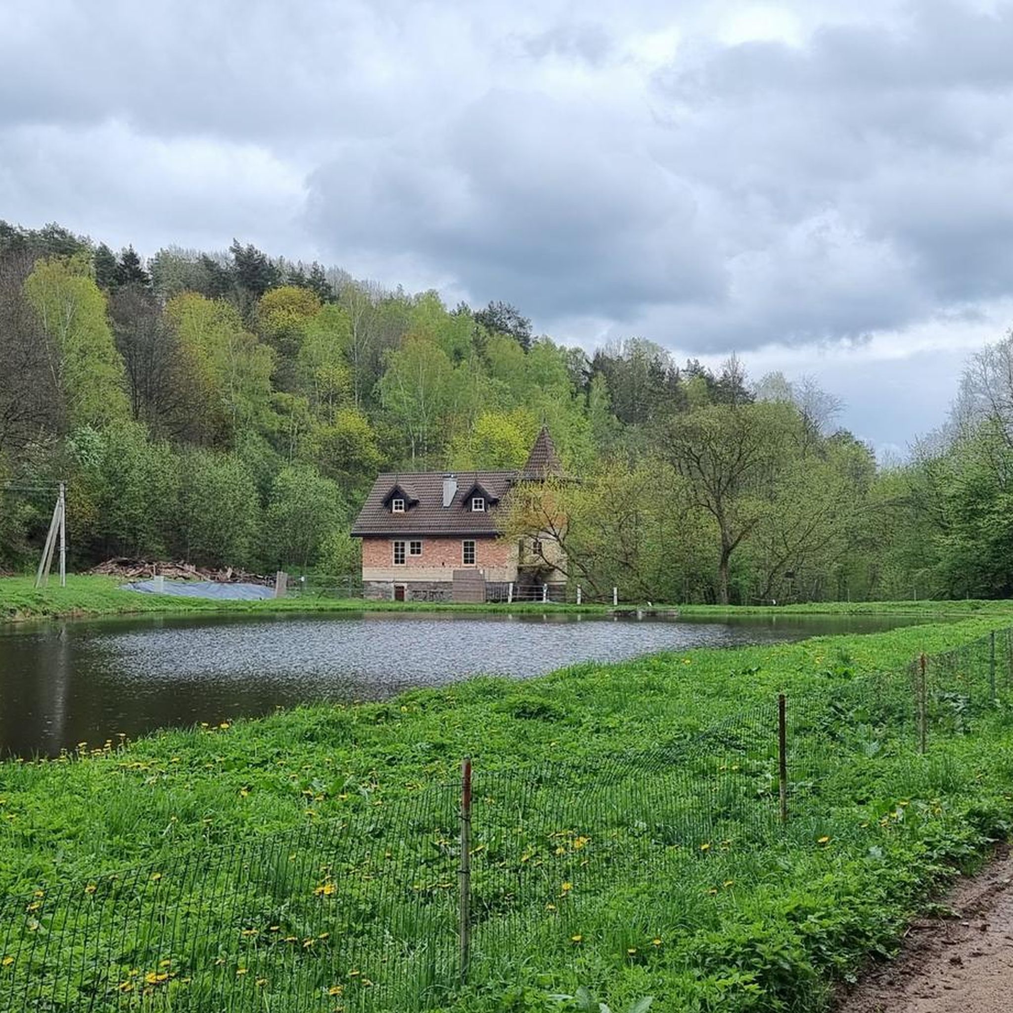
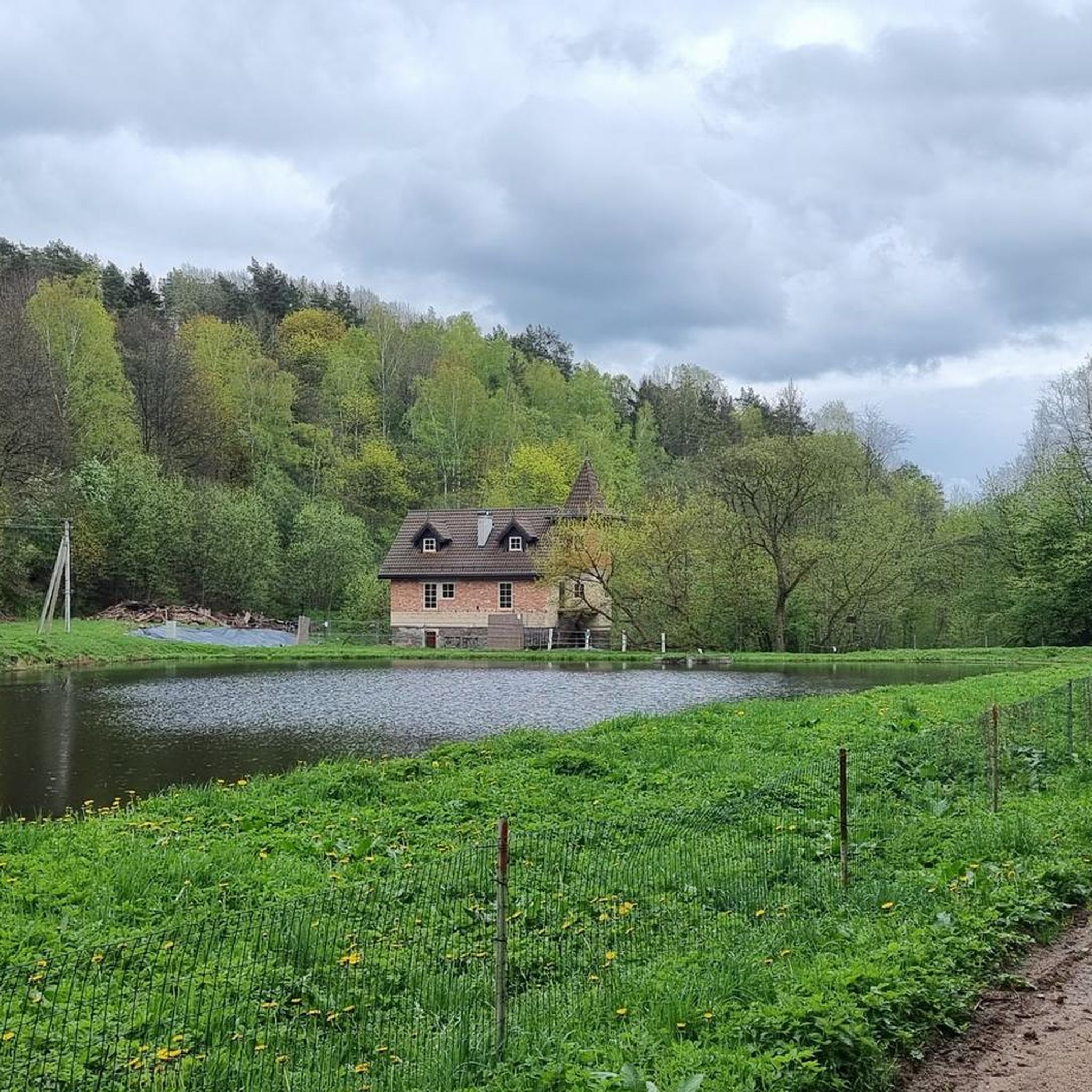
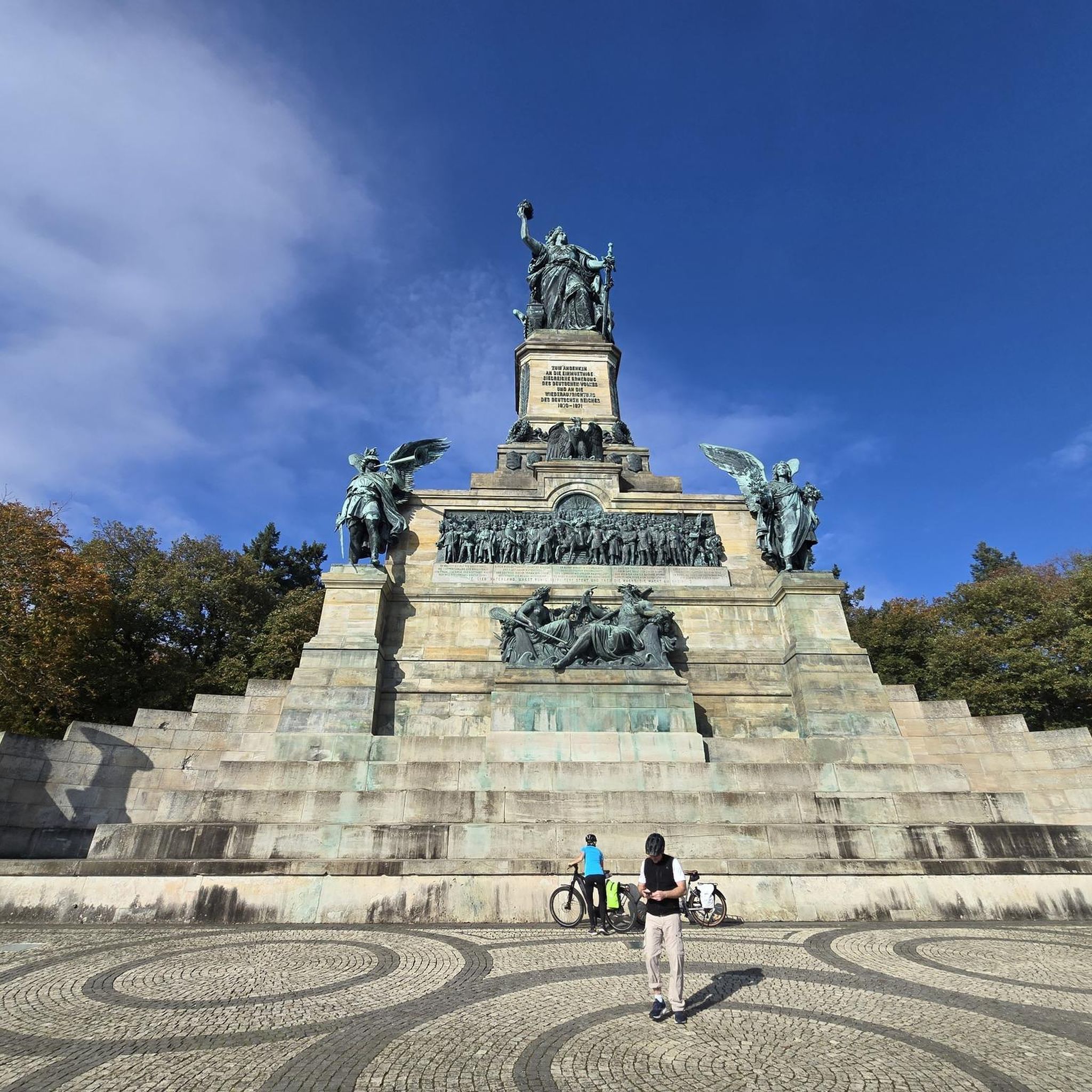
Tips from the Community

Visited, quiet remote place ;)
0
0

It is a good place to go up to the Gariūnai Dvirtakis after arriving at the river bank.
0
0

Sufficiently convenient paths for almost all types of bikes. I was cycling at night in the forest near Gariūnai, there was an unpleasant smell of sewage in the forest.
0
0

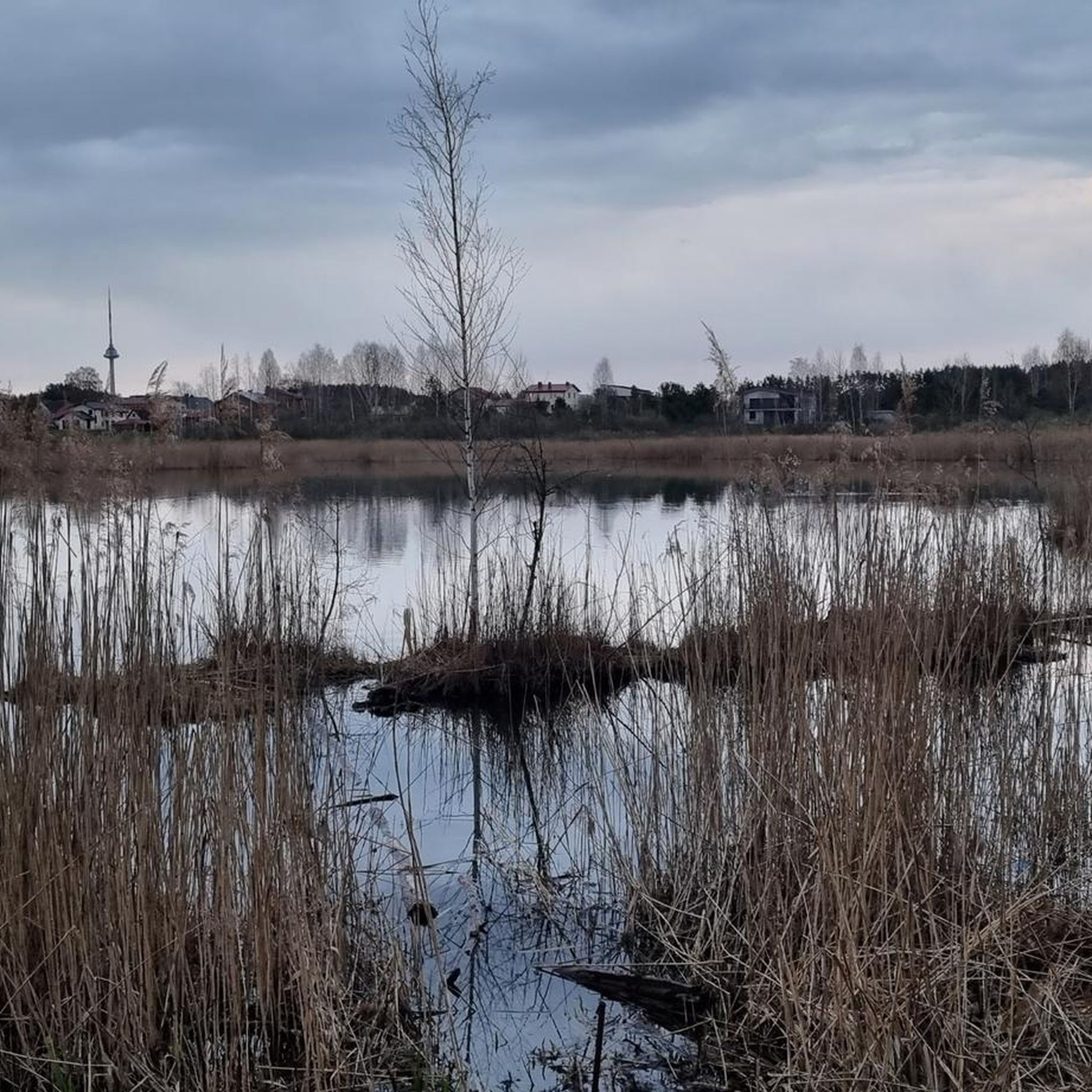
An old mill repurposed as a restaurant on a side of a picturesque pond.
0
0
Frequently Asked Questions
How many mountain bike trails are available in Griovių geomorfologinis draustinis?
There are over 150 mountain bike routes mapped in Griovių geomorfologinis draustinis. These range from easy forest paths to more challenging climbs, catering to various skill levels.
What kind of terrain can I expect when mountain biking in Griovių geomorfologinis draustinis?
The reserve is known for its distinctive and complex terrain, often described as an "erosional sculpture park." You'll encounter numerous ravines, hilly landscapes with elevation changes from 83 to 177 meters, and extensive forest networks. The trails feature a mix of quiet forest roads and unpaved paths, providing a dynamic and challenging environment.
Are there any easy mountain bike trails suitable for beginners or families?
Yes, there are 32 easy mountain bike routes in the area. For a longer, more relaxed ride, consider the Kiemeliškių Hill loop from Grigiškės, which is 21.9 km and leads through hilly forest terrain.
Are there any challenging routes for experienced mountain bikers?
Absolutely. The reserve offers 43 difficult mountain bike routes. A good option for experienced riders is the Stream Crossing – View of the Neris River loop from Raišiai, a 7.4 km path that includes a stream crossing and offers views of the Neris River.
What are the best times of year to go mountain biking in Griovių geomorfologinis draustinis?
The diverse forests, including dark spruce, bright pine, and oak groves, offer varied scenery throughout the year. Spring and autumn provide pleasant temperatures and beautiful foliage. Summer offers shaded paths, while winter, if conditions allow, can provide a unique riding experience, though some paths might be muddy or icy due to springs and streams.
What natural features or viewpoints can I expect to see along the trails?
The reserve is rich in natural beauty. You'll ride through diverse sections of the Giruliai forest, encounter numerous ravines and small streams, and from higher points, enjoy excellent views of the deep Neris River valley. The varied topography itself is a key highlight.
What do other mountain bikers say about the trails in Griovių geomorfologinis draustinis?
The routes in Griovių geomorfologinis draustinis are highly rated by the komoot community, with an average score of 4.6 stars from over 300 reviews. Nearly 3,000 mountain bikers have used komoot to explore the area, often praising the challenging and varied terrain, the extensive forest network, and the scenic views of the Neris River valley.
Are there any circular mountain bike routes available?
Yes, many of the routes in Griovių geomorfologinis draustinis are designed as loops. For example, the popular Dense Forest Area – Muddy Forest Path loop from Giruliai is an 8.4 km moderate route that winds through varied forest sections.
Is Griovių geomorfologinis draustinis accessible by public transport?
The reserve is located near Vilnius, making it relatively accessible. While specific public transport routes directly to trailheads may vary, its proximity to the city means there are usually options to get close to the area, from where you can start your ride.
Are there any specific regulations for mountain biking in the reserve?
As a state-protected geomorphological reserve, the area is conserved for its unique relief forms. It's important to stick to marked trails and forest roads. Motorized vehicles are prohibited off-road to protect the sensitive terrain and ecosystems. Always respect nature and local regulations.
Are there any longer mountain bike routes for endurance riders?
Yes, for those looking for a longer ride, the Shoreline of Lake Balžis – Fun Descent loop from Pilaitė covers 67.6 km with significant elevation changes, offering a substantial challenge.
Can I find routes that combine forest riding with other features like lakes?
Certainly. The Gelūžės paplūdimys loop from Pilaitės seniūnija is a 19.9 km moderate route that includes sections near water features, providing a varied riding experience beyond just dense forest.
Most popular routes around Griovių geomorfologinis draustinis

Get inspired with the komoot mobile app


Explore more
Browse the best MTB trails in other regions.
