The best walks and hikes around Cuevas Bajas
4.1
(23)
58
hikers
14
hikes
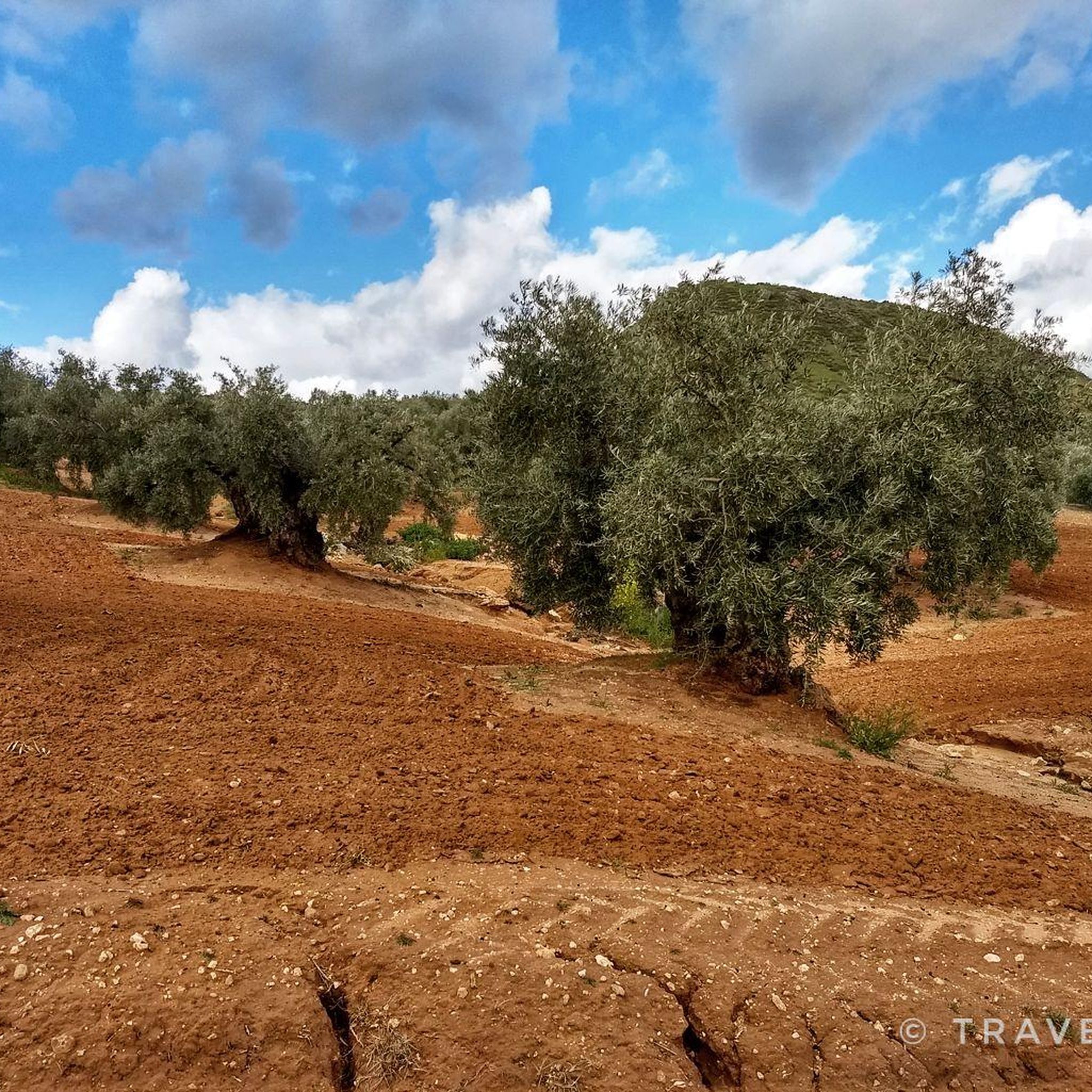
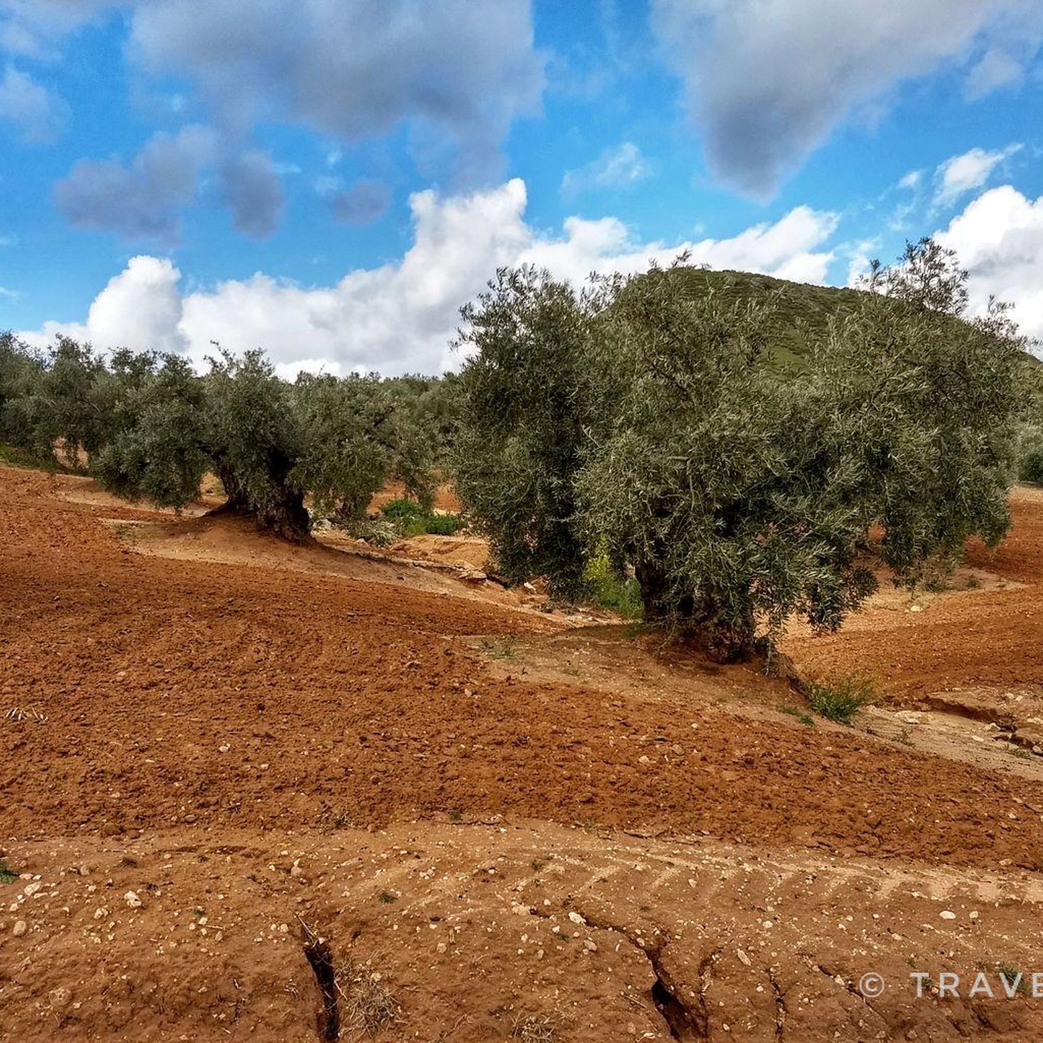
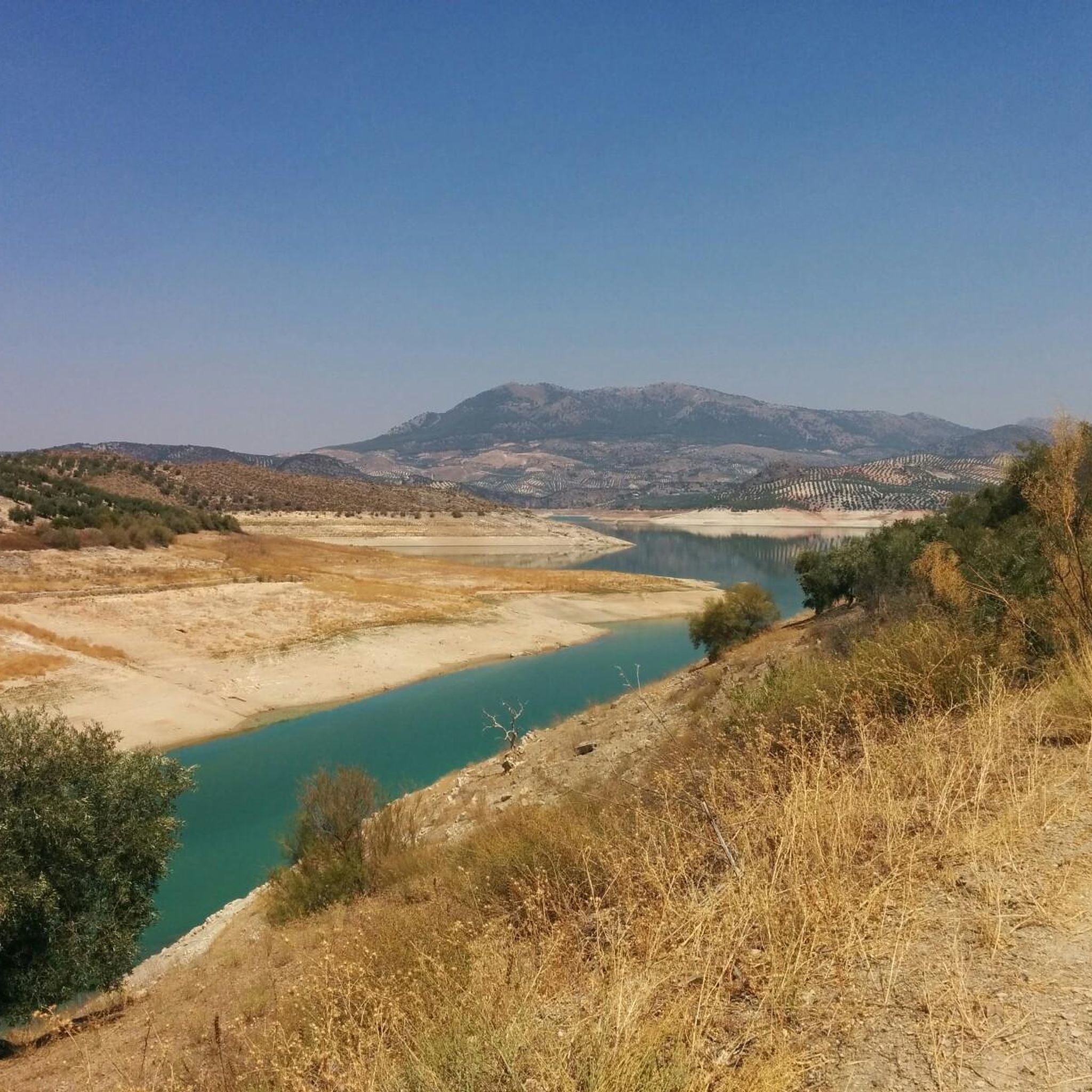
Hiking around Cuevas Bajas offers diverse natural features, including the Genil River Valley and its ravines, which have carved deep valleys amidst native vegetation. The region is characterized by extensive olive groves and Mediterranean forests, with hills like Cerro de la Cruz reaching 768 meters. Altitude variations in the area, ranging between 400 and 600 meters, provide a variety of routes for different experience levels.
Best hiking trails around Cuevas Bajas
- The most popular hiking route is Route of the…
Last updated: July 4, 2026
4.0
(1)
2
hikers
8.31km
02:21
180m
180m
Hike the moderate 5.2-mile Caños de Benamejí circular trail, exploring pine groves, historic bridges, and river views in 2 hours and 20 minu
Easy hike. Great for any fitness level. Easily-accessible paths. Suitable for all skill levels.

Sign up for free
4.0
(4)
8
hikers
5.55km
01:46
230m
230m
Easy hike. Great for any fitness level. Easily-accessible paths. Suitable for all skill levels.
4.0
(1)
7
hikers
10.3km
03:04
330m
330m
Moderate hike. Good fitness required. Easily-accessible paths. Suitable for all skill levels.
4.0
(1)
2
hikers
4.74km
01:29
190m
190m
Easy hike. Great for any fitness level. Easily-accessible paths. Suitable for all skill levels.
Get access to more routes and recommendations from other explorers.
Sign up for free
Already have an account?
Our route recommendations are based on thousands of hikes, rides, and runs completed by other people on komoot.
Start today with a free account
Your next adventure awaits.
Login or Signup


Other adventures around Cuevas Bajas

Tips from the Community


This signpost shows hikers the different paths the direction
3
0
Beautiful viewpoint on the way between Villanueva de Alcaidas and Rute
3
0
Cozy hostel with a good restaurant. We stayed there on our long-distance hike from Tarif to Switzerland and can highly recommend it.
4
0

This town has an exciting history of when King Felipe V transferred his court to Seville for four years as part of a program to learn about his kingdom. Part of that program included stopping by Benamejí, who spent a few hectic weeks preparing the roads for the entourage tinged with Berlanga's film "Welcome, Mister Marshall!" except that in this case the king and his court did finally spend a night in the town, which is also not clear if it was really beneficial for them due to the expenses they incurred.
2
1
The name of this town is due to the fact that its founders were from Palencia who arrived here after the reconquest as part of the colonization efforts. In their case, they dedicated themselves to the felling of holm oaks for the production of charcoal.
3
0

This beautiful viewpoint allows you to see three of the eight provinces of Andalusia: Seville, Cordoba and Malaga. The extension of the olive groves and the plain of the Genil river valley are striking.
4
0
Frequently Asked Questions
What kind of landscapes can I expect to see while hiking in Cuevas Bajas?
Hiking in Cuevas Bajas offers a diverse range of landscapes. You'll encounter the vibrant
Genil River Valley and its impressive ravines, where the river has carved deep valleys amidst lush native vegetation. The area is also characterized by extensive olive groves, Mediterranean forests, and hills like Cerro de la Cruz, which reaches 768 meters. In spring, the valley is particularly lush, and the colors change beautifully with the seasons.
Are there any easy circular routes suitable for beginners or a relaxed walk?
Yes, there are several easy circular routes. A great option is the Path of the Arroyo de las Cañas - circular from Palenciana (PR-A 8). This easy 4.3 km path explores the Arroyo de las Cañas area and is perfect for a relaxed stroll.
What are some notable viewpoints or scenic spots in the Cuevas Bajas area?
Cuevas Bajas boasts several stunning viewpoints. The El Cedrón Viewpoint offers breathtaking vistas of the olive groves and the Genil River valley, encompassing parts of three Andalusian provinces. Additionally, Cerro de la Cruz and Altos de San Antón provide incredible panoramic views of the surrounding area.
Can I find trails that follow the Genil River?
Absolutely! The Genil River is a central feature of the region. The Route of the Norias of the Genil River is a popular moderate trail that takes you along riverside paths, offering beautiful views of the river and its unique ravines. The riverbanks are home to a rich riparian forest and significant birdlife.
Are there any family-friendly hiking options in Cuevas Bajas?
Many of the trails in Cuevas Bajas are suitable for families, especially the easier routes. The natural beauty of the Genil River Valley and the surrounding olive groves provide a pleasant environment for walks with children. Look for routes marked as 'easy' for the most family-friendly experience.
What unique natural features or attractions can I discover on the trails?
Beyond the river and olive groves, you can discover unique natural features like the ancient 'Chaparro Borondo,' a centennial holm oak near Cerro de la Cruz. The area also features a rare quejigal (a type of oak forest). You might also encounter the historic Huertas del Marqués, which still use an ancient Arab irrigation system.
What is the best time of year to go hiking in Cuevas Bajas?
The best time to visit Cuevas Bajas for hiking is generally in spring, when the Genil River Valley is covered in a lush green mantle and wildflowers bloom. Autumn also offers pleasant temperatures and beautiful changing colors in the landscape. Summers can be quite hot, while winters are milder but can be damp.
Are there any historical or cultural landmarks accessible from hiking trails?
Yes, the region has several interesting landmarks. You can find the Medieval bridge, which is part of the Restaurante Chovi – Medieval bridge loop from Villanueva de Algaidas. Other nearby attractions include the Mozarabic Rock-Cut Caves ⛪ Villanueva de Algaidas and the Church of the Immaculate Conception, Benamejí.
How many hiking trails are available in the Cuevas Bajas area?
There are over 14 hiking trails available around Cuevas Bajas, offering a variety of experiences. These range from easy strolls to more moderate ascents, catering to different fitness levels and preferences.
What do other hikers enjoy most about the trails in Cuevas Bajas?
The hiking trails in Cuevas Bajas are highly rated by the komoot community, with an average score of 4.3 stars. Hikers often praise the serene riverside paths, the picturesque olive groves, and the stunning panoramic views from elevated points like Cerro de la Cruz and El Cedrón Viewpoint.
Are there any longer, more challenging routes for experienced hikers?
While most routes are easy to moderate, some trails offer a good challenge with more elevation gain. For example, the Sendero Trail Sign – Restaurante Chovi loop from Villanueva de Algaidas is a moderate 7.9 km route with nearly 200 meters of ascent, providing a more extended and engaging experience.
Is Cuevas Bajas connected to any larger regional hiking networks?
Yes, Cuevas Bajas serves as the starting point for Stage 16 of the extensive
Great Malaga Path (Gran Senda de Málaga)
. This linear route offers a longer, multi-hour hiking experience through vast olive groves and past farms, connecting you to the wider Andalusian region.Most popular attractions around Cuevas Bajas

Get inspired with the komoot mobile app


Explore more
Browse the best Hikes in other regions.
