The best running trails around Parco Naturale Orsiera-Rocciavrè
4.5
(32)
3,030
runners
218
runs
Jogging around Parco Naturale Orsiera-Rocciavrè offers a diverse range of running routes through mountainous terrain and alpine landscapes. The region is characterized by its varied elevation, featuring both challenging ascents and more gradual paths through forests and valleys. These trails provide opportunities to experience the natural beauty of the park, from high-altitude vistas to serene woodland stretches.
Best jogging routes around Parco Naturale Orsiera-Rocciavrè
- The most popular jogging route is Jouglard bivouac – Selleries Hut loop from Grange, a…
Last updated: July 1, 2026
37
runners
12.5km
01:47
490m
500m
Hard run. Very good fitness required. Sure-footedness, sturdy shoes and alpine experience required.
22
runners
17.0km
03:31
1,310m
1,310m
Hard run. Very good fitness required. Sure-footedness, sturdy shoes and alpine experience required.

Sign up for free
19
runners
18.2km
03:24
1,200m
1,200m
Hard run. Very good fitness required. Sure-footedness, sturdy shoes and alpine experience required.
9
runners
10.7km
02:13
850m
850m
Hard run. Very good fitness required. Sure-footedness, sturdy shoes and alpine experience required.
13
runners
12.1km
02:21
850m
850m
Hard run. Very good fitness required. Sure-footedness, sturdy shoes and alpine experience required.
Get access to more routes and recommendations from other explorers.
Sign up for free
Already have an account?
Our route recommendations are based on thousands of hikes, rides, and runs completed by other people on komoot.
Start today with a free account
Your next adventure awaits.
Login or Signup
Popular around Parco Naturale Orsiera-Rocciavrè
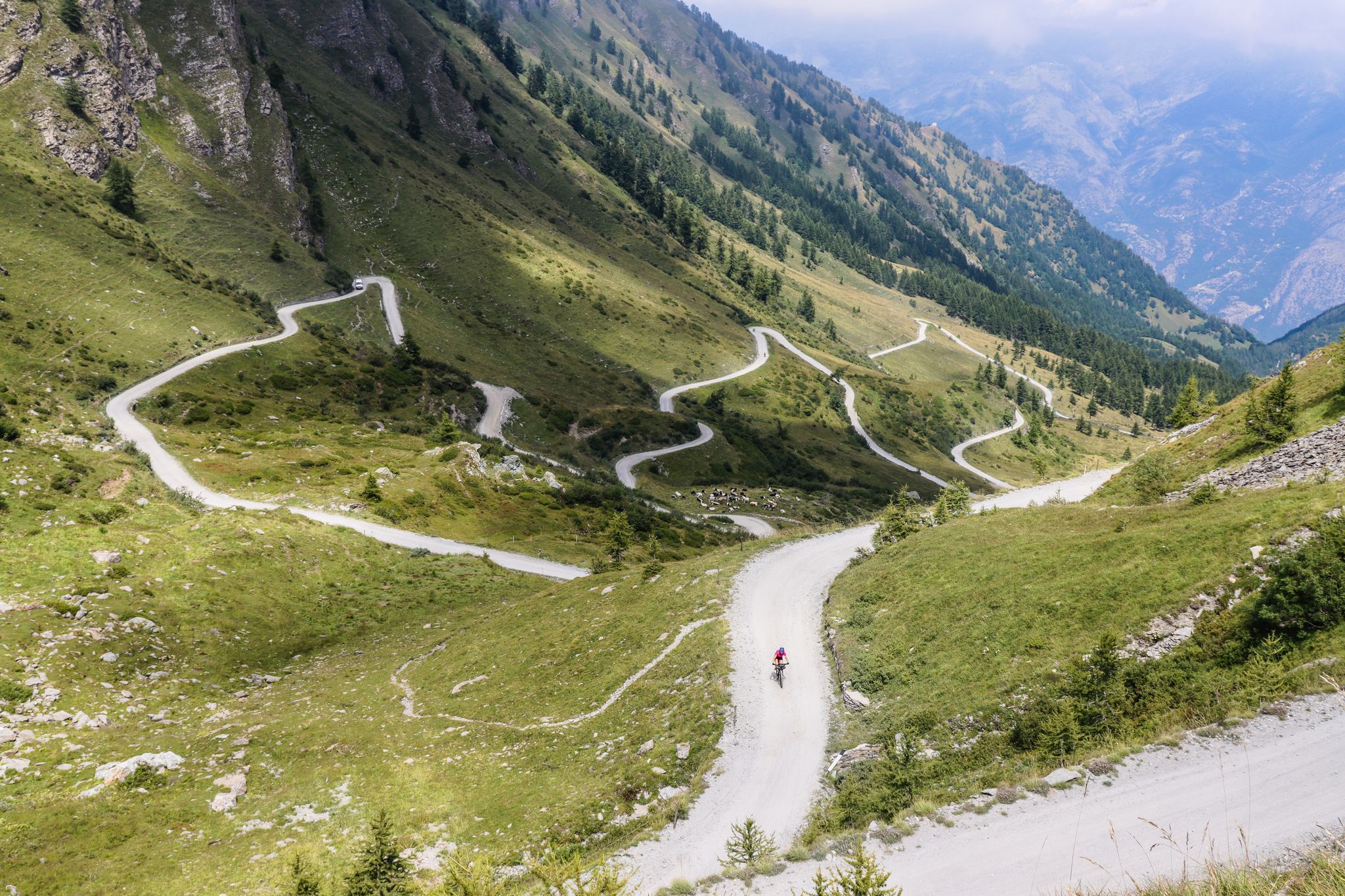
Colle del Colombardo and the Colle delle Finestre — Two of the Italian gravel giants
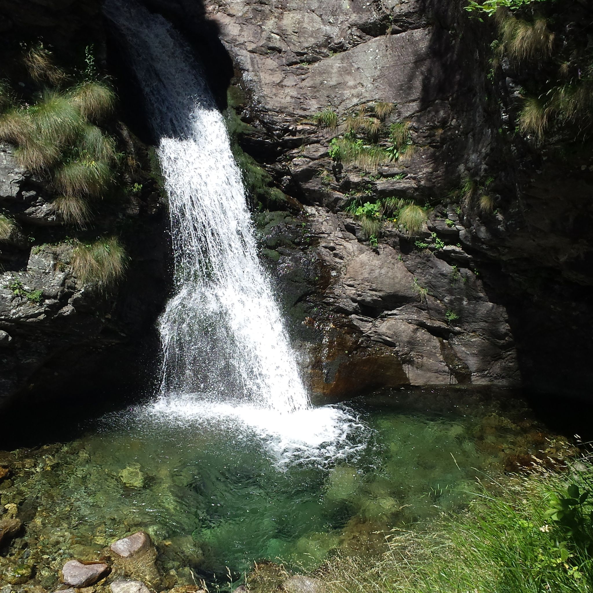
Hiking around Parco Naturale Orsiera-Rocciavrè
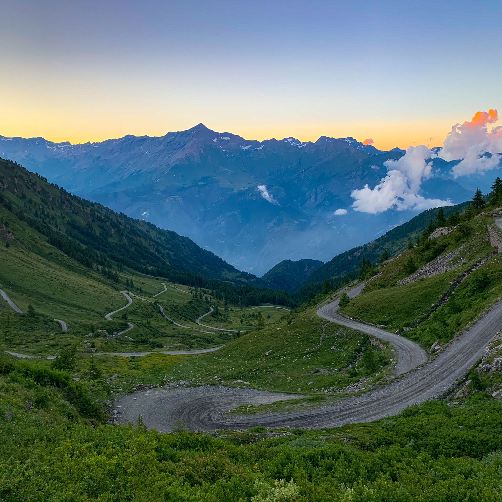
Road Cycling Routes around Parco Naturale Orsiera-Rocciavrè
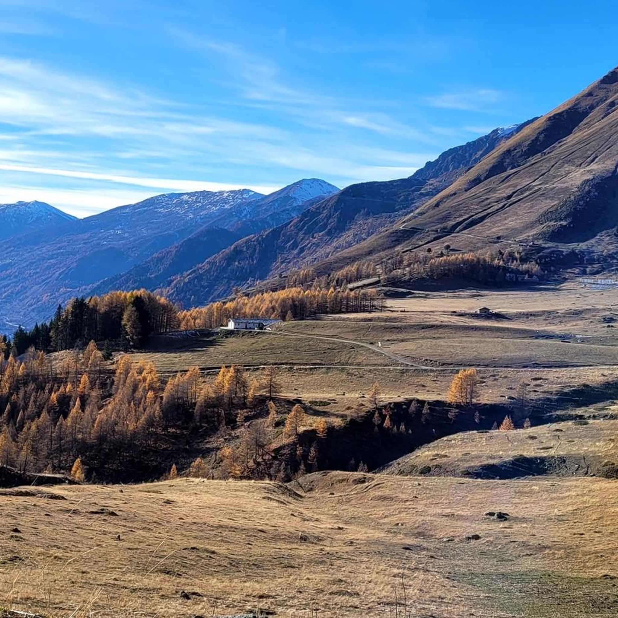
Cycling around Parco Naturale Orsiera-Rocciavrè
MTB Trails around Parco Naturale Orsiera-Rocciavrè

Gravel biking around Parco Naturale Orsiera-Rocciavrè

Mountain Hikes around Parco Naturale Orsiera-Rocciavrè
Other adventures around Parco Naturale Orsiera-Rocciavrè

Tips from the Community

Along the climb just before the Assietta road
0
0
beautiful refuge in the Selleries valley
0
0

The Selleries refuge is located in the municipality of Roure (TO), in the Chisone valley, in the Cottian Alps, at 2,035 m above sea level. It can be easily reached by mountain bike from the paved road, but also on foot. The craft beers are excellent.
0
0

Massimo is one of the best and kindest refugee managers I have ever met.
1
0

In the Orsiera Rocciavrè park. Reachable only by paths, not all of which are ideal for MTB. The effort is rewarded by this splendid place.
1
0

The Rifugio Toesca is located in the heart of the Orsiera-Rocciavrè Natural Park, in Val di Susa. It offers typical Piedmontese cuisine and the possibility of overnight stays in both rooms and tents. It is open all year round, every day in summer until the end of September, and weekends and holidays during the rest of the year. To check, consult the website or contact the refuge directly: https://rifugiotoesca.it/
2
0

The Valgravio refuge, near the Gravio stream, was built in 1928, then destroyed during the Second World War, rebuilt and expanded after the war. Today it is an essential destination for those who walk in the Orsiera-Rocciavré park. The manager, Mario Sorbino, keeps the dining room and the rooms in the best possible condition.
1
0
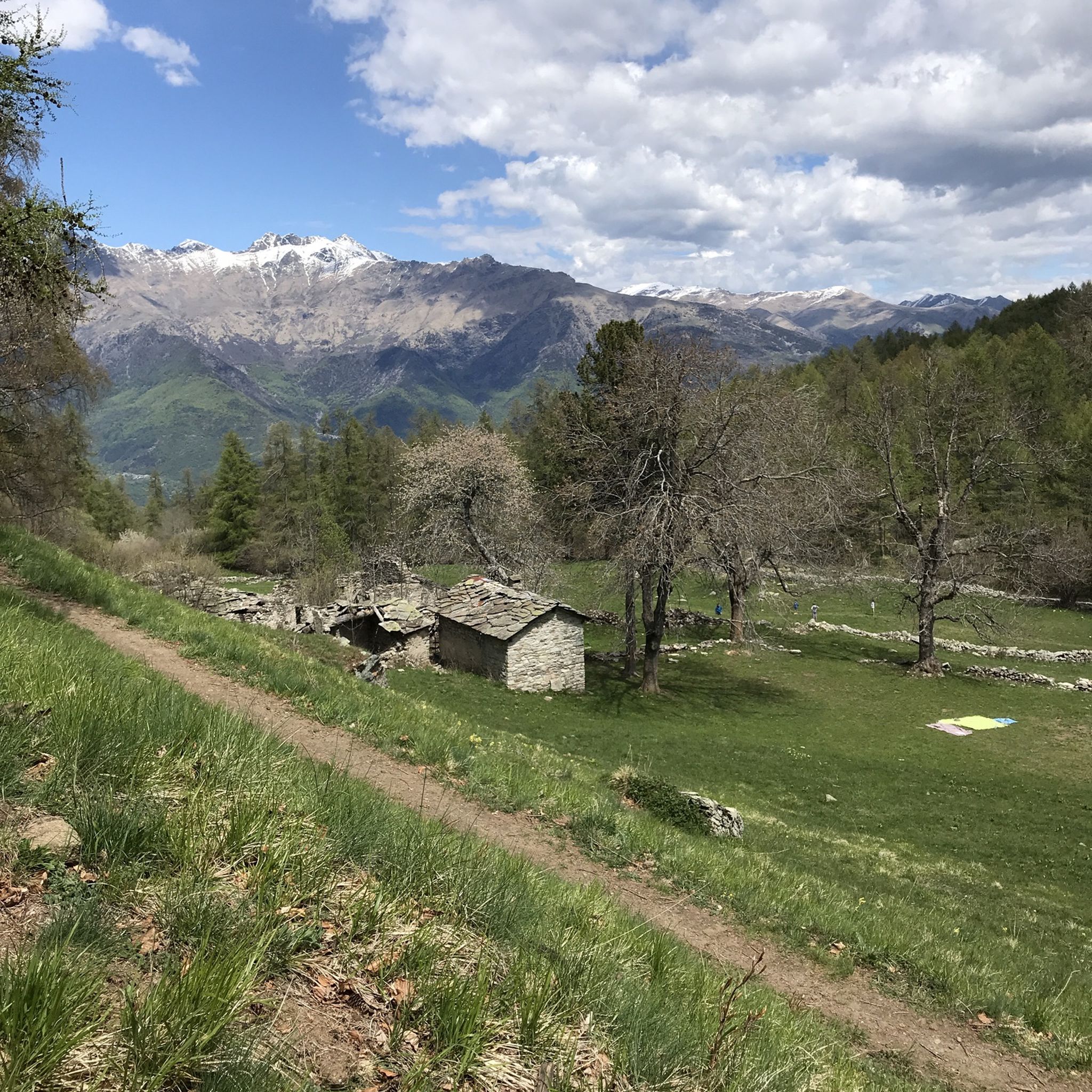
Situated in a green meadow in the presence of majestic and imposing mountains, this panoramic point is perfect for an open-air picnic or a relaxing break. Several trails start from this place.
0
0
Frequently Asked Questions
How many running trails are available in Parco Naturale Orsiera-Rocciavrè?
There are nearly 200 dedicated running trails in Parco Naturale Orsiera-Rocciavrè, offering a wide range of options for different fitness levels and preferences. These routes navigate through varied mountainous terrain and alpine landscapes.
Are there easy jogging routes suitable for beginners in the park?
Yes, while the region is known for its mountainous terrain, there are 8 routes specifically categorized as easy. These paths generally feature more gradual ascents and descents, making them suitable for those new to trail running or looking for a less strenuous workout. Keep in mind that even 'easy' routes in a natural park may still involve some elevation changes.
What kind of scenery can I expect on the running trails in Parco Naturale Orsiera-Rocciavrè?
Runners can expect diverse and stunning alpine scenery. The trails wind through dense forests, across open alpine meadows, and offer high-altitude vistas. You'll encounter mountain paths, and some routes even pass by beautiful lakes and mountain refuges. For example, the Rifugio Amprimo – Rifugio Toesca loop from Travers a Mont takes you through forested sections and past mountain huts.
Are there any running routes that pass by lakes or other natural attractions?
Absolutely! Many routes offer scenic views of the region's natural beauty. For instance, the Lago Rosso – Porta del Villano loop from Travers a Mont passes by the stunning Red Lake. Other notable lakes in the area include Frogs' Paradise Lake and Lake Laus, which can be explored via various trails.
What do other runners say about the trails in Parco Naturale Orsiera-Rocciavrè?
The running trails in Parco Naturale Orsiera-Rocciavrè are highly regarded by the komoot community, boasting an average rating of 4.4 stars from over 30 reviews. Runners frequently praise the challenging yet rewarding mountain paths, the serene natural environment, and the expansive views offered on many routes.
Are there any circular running routes in the park?
Yes, many of the running routes in Parco Naturale Orsiera-Rocciavrè are designed as loops, allowing you to start and finish at the same point. A popular example is the Jouglard bivouac – Selleries Hut loop from Grange, which offers a challenging run through alpine scenery.
Can I bring my dog on the running trails in Parco Naturale Orsiera-Rocciavrè?
As a natural park, rules regarding dogs can vary. Generally, dogs are permitted on trails but must be kept on a leash to protect wildlife and ensure the safety of other visitors. It's always advisable to check specific park regulations or signage at trailheads, especially in protected areas, to confirm any restrictions.
What are the best times of year for running in Parco Naturale Orsiera-Rocciavrè?
The best times for running are typically late spring, summer, and early autumn (May to October). During these months, trails are generally free of snow, and the weather is more favorable. High-altitude routes might still have snow patches in early spring or late autumn. Winter running is possible but requires specialized gear and experience due to snow and ice conditions.
Are there any viewpoints or panoramic spots along the running routes?
Given the mountainous nature of the park, many running routes offer spectacular viewpoints. Trails that ascend to higher elevations, such as those near Colle La Rossa or Colle dell'Orsiera, provide expansive panoramic views of the surrounding alpine landscape and valleys.
Is public transport available to access the running trails in Parco Naturale Orsiera-Rocciavrè?
Access to trailheads within Parco Naturale Orsiera-Rocciavrè primarily relies on private vehicles. While some villages on the periphery of the park might have limited bus services, direct public transport to many specific trail starting points is often not available. Planning for car access or carpooling is generally recommended for convenience.
Are there any routes that explore historical or abandoned sites?
Yes, some routes offer a glimpse into the region's past. For example, the Puy Abandoned Village loop from Fenestrelle takes you through an intriguing historical site, combining your run with a cultural exploration of an old settlement.
What is the typical difficulty level of running routes in this natural park?
The majority of running routes in Parco Naturale Orsiera-Rocciavrè are categorized as moderate to difficult, reflecting the park's mountainous character. Out of nearly 200 routes, 64 are moderate and 117 are difficult, often involving significant elevation changes and technical terrain. There are also 8 easy routes for those seeking a less challenging experience.
Most popular routes around Parco Naturale Orsiera-Rocciavrè
Most popular attractions around Parco Naturale Orsiera-Rocciavrè

Get inspired with the komoot mobile app


Explore more
Browse the best Running Trails & Routes in other regions.
