The best walks and hikes around National Park Fuentes del Narcea Degaña e Ibias
4.4
(109)
924
hikers
42
hikes
Hiking trails around National Park Fuentes del Narcea Degaña e Ibias traverse a landscape characterized by dense oak and beech forests, deep river valleys, and high-altitude lagoons. This region in Asturias, Spain, features varied terrain, including mountainous sections and rolling hills. The park offers a network of paths suitable for exploring its natural environment and diverse ecosystems.
Best hiking trails around National Park Fuentes del Narcea Degaña e Ibias
- The most popular hiking route is Muniellos Lagoons Loop, a 11.2 miles (18.1 km) trail that takes 7 hours 9 minutes to complete. This difficult route explores the park's notable lagoon systems.
- Another top favourite among local hikers is Small Oubachu route — circular from the Muniellos Interpretation Centre, a moderate 4.5 miles (7.2 km) path. This trail offers a circular journey through forest areas near the interpretation centre.
- Local hikers also love the Tres Lagunas Circular from Xinestosu, a 9.0 miles (14.4 km) trail leading through multiple high-altitude lagoons, often completed in about 5 hours 52 minutes.
- Hiking around National Park Fuentes del Narcea Degaña e Ibias is defined by dense forests, river valleys, and high-altitude lagoons. The network offers options for different ability levels, from easy hikes to more challenging mountain ascents.
- The routes in National Park Fuentes del Narcea Degaña e Ibias are highly rated by the komoot community with an average score of 4.5 stars from over 60 reviews. More than 600 hikers have used komoot to explore National Park Fuentes del Narcea Degaña e Ibias's varied terrain.
Last updated: August 31, 2026
4.6
(7)
81
hikers
18.1km
07:09
860m
850m
Hike a difficult 11.2-mile circular route through Spain's largest oak forest, featuring glacial lagoons and ancient trees.
4.8
(4)
27
hikers
7.18km
02:16
290m
290m
Moderate hike. Good fitness required. Easily-accessible paths. Suitable for all skill levels.

Sign up for free
5.0
(3)
5
hikers
14.4km
05:52
760m
770m
This difficult 9.0-mile (14.4 km) circular hiking route from Xinestosu offers panoramic mountain views and a challenging ascent.
4.3
(8)
61
hikers
7.40km
02:39
430m
430m
Moderate hike. Good fitness required. Easily-accessible paths. Suitable for all skill levels.
5.0
(2)
26
hikers
5.45km
01:40
180m
180m
Easy hike. Great for any fitness level. Easily-accessible paths. Suitable for all skill levels.
Get access to more routes and recommendations from other explorers.
Sign up for free
Already have an account?
Our route recommendations are based on thousands of hikes, rides, and runs completed by other people on komoot.
Start today with a free account
Your next adventure awaits.
Login or Signup
Popular around National Park Fuentes del Narcea Degaña e Ibias
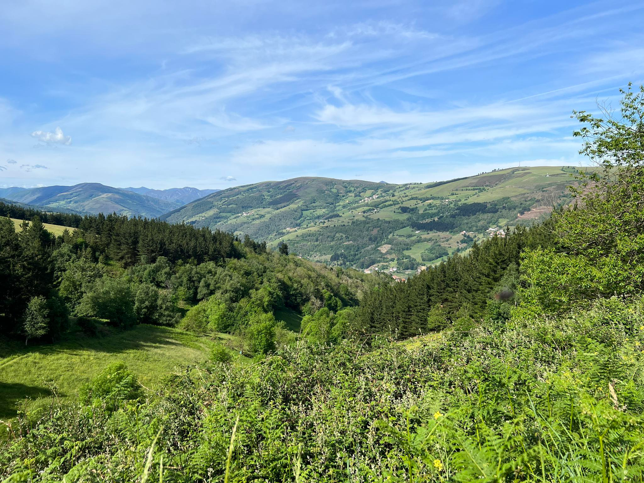
Wild Asturias - Where the bear walks (GR 203)

TransCantabrica – Extreme mountain biking in northern Spain
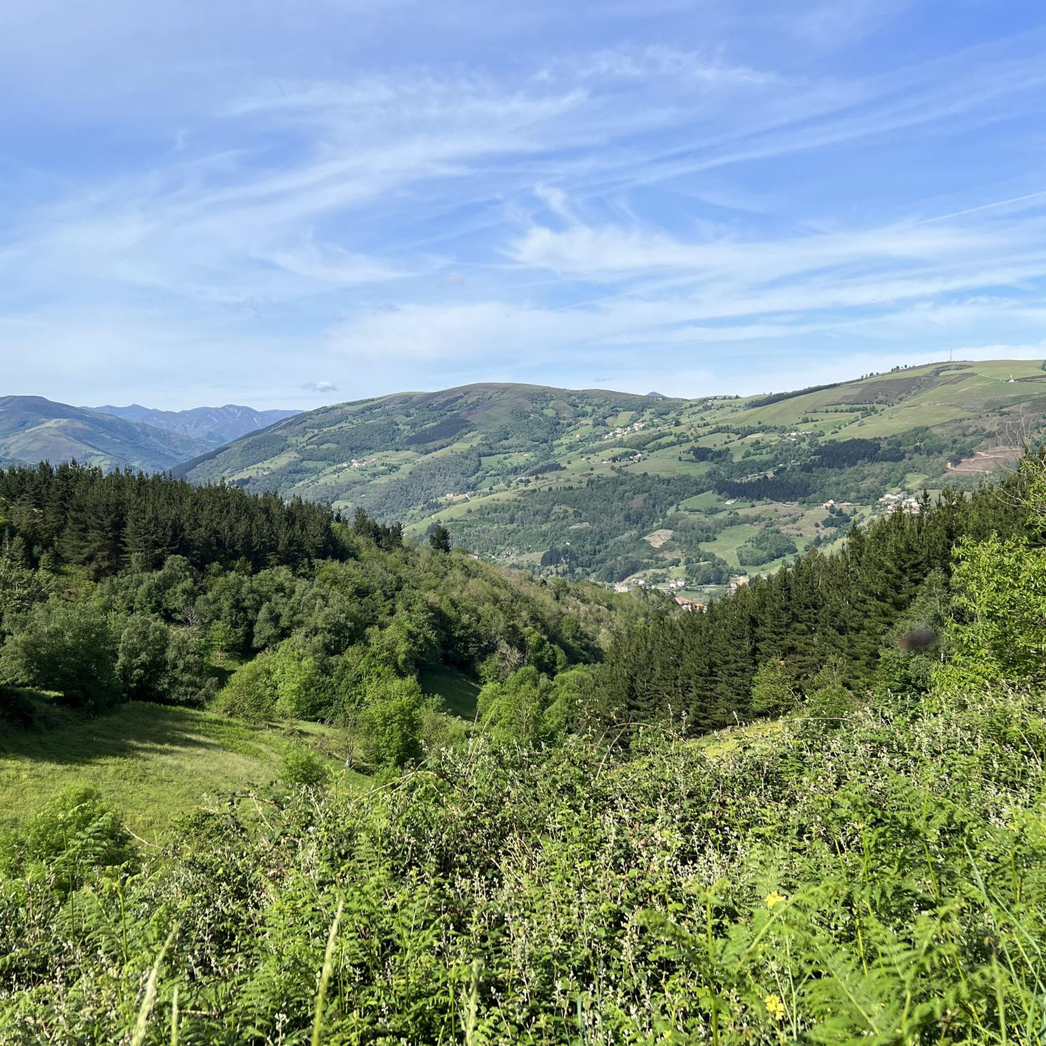
Cycling around National Park Fuentes del Narcea Degaña e Ibias
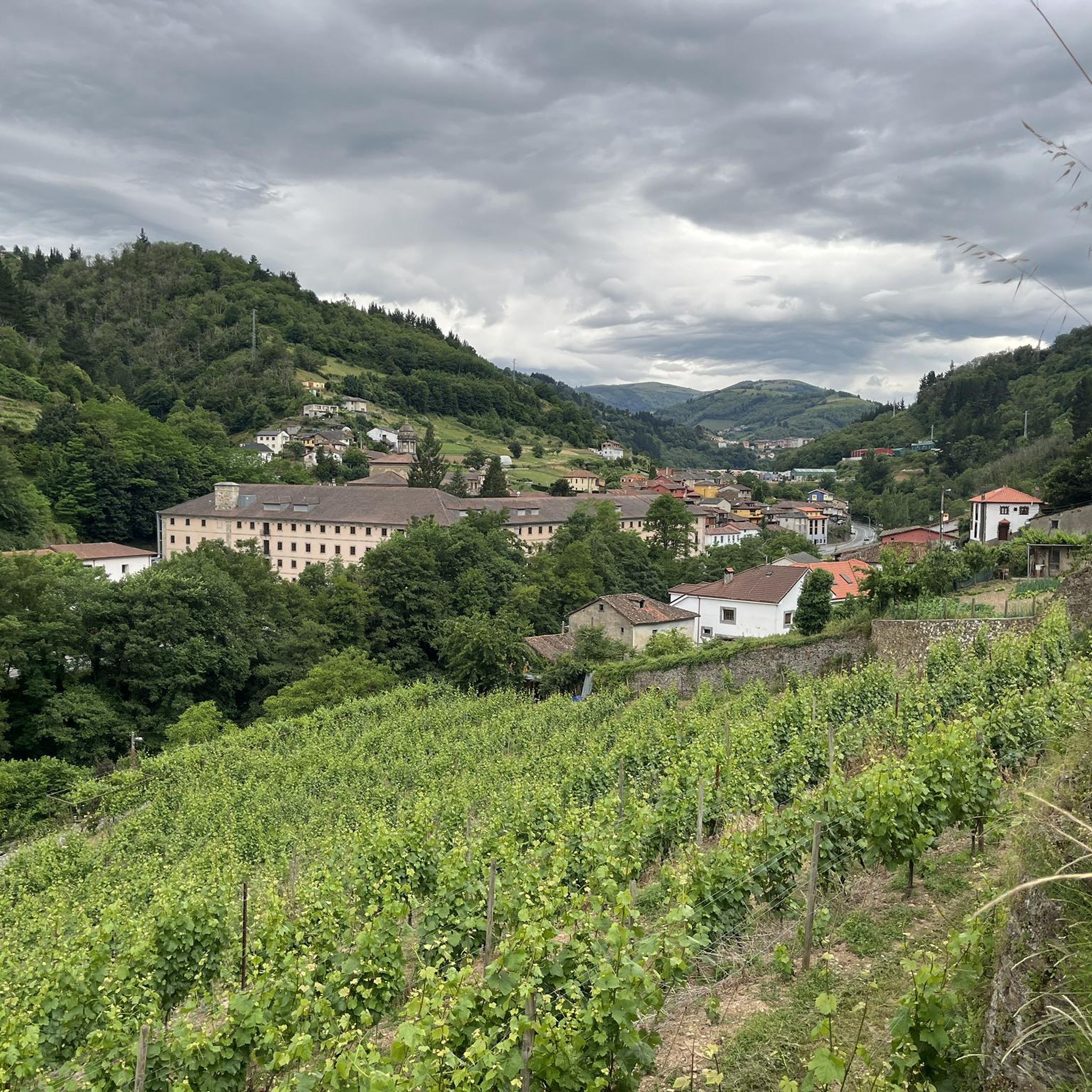
MTB Trails around National Park Fuentes del Narcea Degaña e Ibias
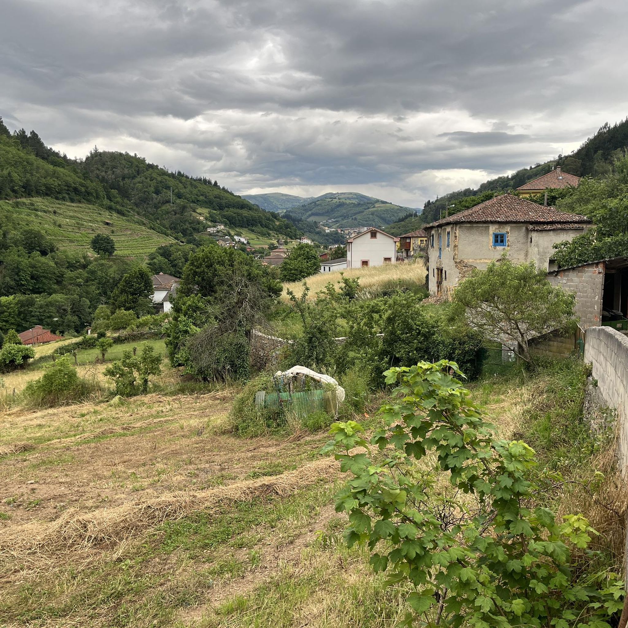
Running Trails around National Park Fuentes del Narcea Degaña e Ibias
Road Cycling Routes around National Park Fuentes del Narcea Degaña e Ibias
Other adventures around National Park Fuentes del Narcea Degaña e Ibias


Tips from the Community

The main function of the cortín is to keep away the Cantabrian brown bear, which is fond of honey and bee larvae.
0
0

Visiting the Muniellos Reserve by bicycle is not possible. However, if you approach the reserve area by road bike, that is, by climbing the Connio Pass, then a visit to the Muniellos Interpretive Center is a must. Furthermore, the road leading to the Center is spectacular.
0
0

From the path, which runs along the mountainside at almost 1,000 meters, through meadows, bushes, and forest, there are magnificent views of the Muniellos River valley and the village of Mual/Moal. The numerous ancient, gnarled trees are particularly impressive!
1
0
Magnificent views of the surrounding mountains all around, especially of the valleys of the Narcea and Muniellos rivers with the villages of Mual and Moal, respectively. At the top of the hill, there are several great places to sit (benches and tables). On the paths to the viewpoint from the west and even more from the east, there is a beautiful forest with ancient trees.
1
0

Muniellos Reserve Interpretation Centre. You can take this detour to enjoy a different section on the climb to Puerto del Connio
1
0

Xinestosu is a small parish in the Asturian council of Cangas del Narcea, located at more than 1000 meters above sea level. Its economy has traditionally been based on goat and cattle farming, and it is known for its artisan cheeses, made in esparto molds and with a strong flavor. Currently it is a common destination for hikers, since the Cabril Route (PR.AS-110) starts from Xinestosu, which runs through various places in the Las Fuentes del Narcea, Degaña and Ibias natural park.
0
0

The first lagoon can be seen by turning aside a few meters from the path. Of the three lagoons in the complex, one is permanent and the other seasonal.
1
0
Frequently Asked Questions
How many hiking trails are available in National Park Fuentes del Narcea Degaña e Ibias?
There are 28 hiking trails in National Park Fuentes del Narcea Degaña e Ibias. These include 4 easy routes, 16 moderate routes, and 8 difficult routes, offering options for various fitness levels.
Are there easy hiking routes suitable for beginners in the National Park?
Yes, the National Park offers 4 easy hiking routes perfect for beginners or those seeking a relaxed walk. A good option is the Hiking loop from Oubachu, which is a moderate 4.6-mile (7.4 km) trail that can be completed in about 2 hours 38 minutes.
Are there family-friendly hiking options in National Park Fuentes del Narcea Degaña e Ibias?
For families, consider the easier or moderate trails. The Small Oubachu route — circular from the Muniellos Interpretation Centre is a moderate 4.5-mile (7.2 km) path that offers a pleasant circular journey through forest areas, suitable for a family outing.
Are there circular walks available in the National Park?
Yes, many trails in National Park Fuentes del Narcea Degaña e Ibias are circular, allowing you to start and end at the same point. Examples include the Muniellos Lagoons Loop and the Tres Lagunas Circular from Xinestosu, both offering immersive experiences.
What kind of wildlife can I expect to see while hiking in the National Park?
National Park Fuentes del Narcea Degaña e Ibias is renowned for its rich biodiversity. Keep an eye out for brown bears, wolves, deer, and various bird species, especially in the dense oak and beech forests. Early mornings or late afternoons are often the best times for wildlife spotting.
Are there any trails with notable viewpoints or scenic overlooks?
The mountainous terrain of the park offers several trails with rewarding viewpoints. Routes that ascend to higher altitudes, such as those near the Pozo de las Mujeres Muertas Pass or Connio Pass, often provide expansive views of the surrounding valleys and peaks.
What are some interesting landmarks or attractions near the hiking trails?
Beyond the trails, you can explore several natural and cultural landmarks. The Muniellos Interpretation Center is a great starting point for learning about the region. You can also visit the Muniellos River or the charming village of Degaña.
Is there parking available at the trailheads?
Parking availability varies by trailhead. Many popular starting points, especially those leading to well-known routes like the Muniellos forest, have designated parking areas. It's advisable to check specific route details for parking information before your hike.
What is the best time of year to go hiking in National Park Fuentes del Narcea Degaña e Ibias?
The best time for hiking is typically from late spring to early autumn (May to October). During these months, the weather is generally milder, and trails are more accessible. Autumn offers spectacular fall foliage, while spring brings blooming wildflowers.
What do other hikers enjoy most about hiking in National Park Fuentes del Narcea Degaña e Ibias?
The area is highly rated by the komoot community, with an average score of 4.5 stars from over 60 reviews. Reviewers often praise the pristine nature, the dense ancient forests, the challenging yet rewarding mountain ascents, and the tranquility of the high-altitude lagoons.
Are there any trails that feature lakes or lagoons?
Yes, the National Park is known for its beautiful high-altitude lagoons. The Lago El Puerto – Alto de la Ferradura loop from Parking Leitariegos is a moderate 5.6-mile (9.1 km) trail that takes you past the scenic Lago El Puerto.
What should I pack for a hike in this region?
Given the varied terrain and potential for changing weather, it's recommended to pack layers of clothing, waterproof gear, sturdy hiking boots, sufficient water and snacks, a map or GPS device, and sun protection. For longer or more challenging routes, consider a first-aid kit and a headlamp.
Most popular routes around National Park Fuentes del Narcea Degaña e Ibias
Most popular attractions around National Park Fuentes del Narcea Degaña e Ibias

Get inspired with the komoot mobile app


Explore more
Browse the best Hikes in other regions.
