The best walks and hikes around Bruchweiler-Bärenbach
4.7
(2568)
8,471
hikers
55
hikes
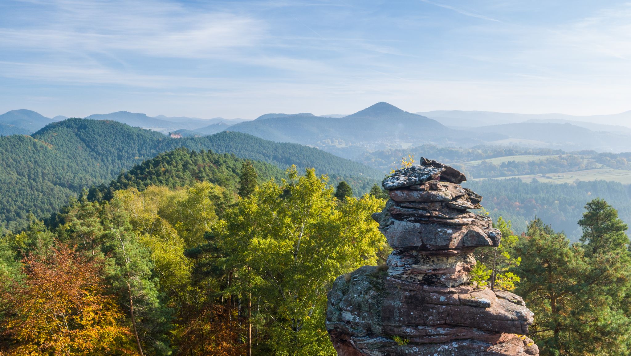
Hiking trails Bruchweiler-Bärenbach are set within the Palatinate Forest / Wasgau region, part of the cross-border Biosphere Reserve Palatinate Forest-Northern Vosges. The landscape features gentle hills, dense forests, and clear streams. This area is characterized by impressive red sandstone formations, some reaching over 60 meters in height, creating a distinctive natural scenery. The region is known for its extensive network of trails that traverse these unique geological features.
Best hiking trails around Bruchweiler-Bärenbach
- The most popular hiking route is Retschelfelsen…
Last updated: August 27, 2026
4.8
(905)
2,834
hikers
11.6km
03:19
290m
290m
Moderate hike. Good fitness required. Easily-accessible paths. Suitable for all skill levels.
4.8
(932)
3,007
hikers
14.4km
04:18
440m
430m
Moderate hike. Good fitness required. Easily-accessible paths. Suitable for all skill levels.

Sign up for free
4.6
(92)
272
hikers
Moderate hike. Good fitness required. Mostly accessible paths. Sure-footedness required.
4.6
(80)
257
hikers
Moderate hike. Good fitness required. Mostly accessible paths. Sure-footedness required.
4.8
(26)
80
hikers
9.29km
02:39
220m
220m
Moderate hike. Good fitness required. Easily-accessible paths. Suitable for all skill levels.
Get access to more routes and recommendations from other explorers.
Sign up for free
Already have an account?
Our route recommendations are based on thousands of hikes, rides, and runs completed by other people on komoot.
Start today with a free account
Your next adventure awaits.
Login or Signup
Popular around Bruchweiler-Bärenbach

Other adventures around Bruchweiler-Bärenbach

Tips from the Community

Walking the premium hiking trail Felsenpfad is a must in the Dahner Felsenland. However, there are thousands of other very beautiful paths, rocks, and castles that you can visit.
3
0

Wonderful narrow trail on the premium hiking trail „Bärensteig“.
0
0

We walked the tour today and were also enthusiastic about the sandstone formations, the tranquility and the diversity of the forest structures. Tip: the refreshment stop of the Pfälzerwaldverein "Am Schmalstein" is (as of June 2026) only open on Sundays and Wednesdays. A great pity, as there is no other catering option on the tour! And: the former shoe factory "Däumling", which is repeatedly mentioned as a starting point, has been closed for a long time and will probably disappear soon.
0
0

Impressive rock formations can be seen time and again along the circular route through the Dahner Felsenland (Dahn Rock Country).
0
0


Beautiful passage from the Bärensteig, which here leads as a narrow path across the forest.
7
0
This magnificent rock formation is reached via a path marked "difficult" as part of the Bärensteig trail. The trail is easily manageable, though "difficult" probably only because the path is somewhat steep in places.
6
0
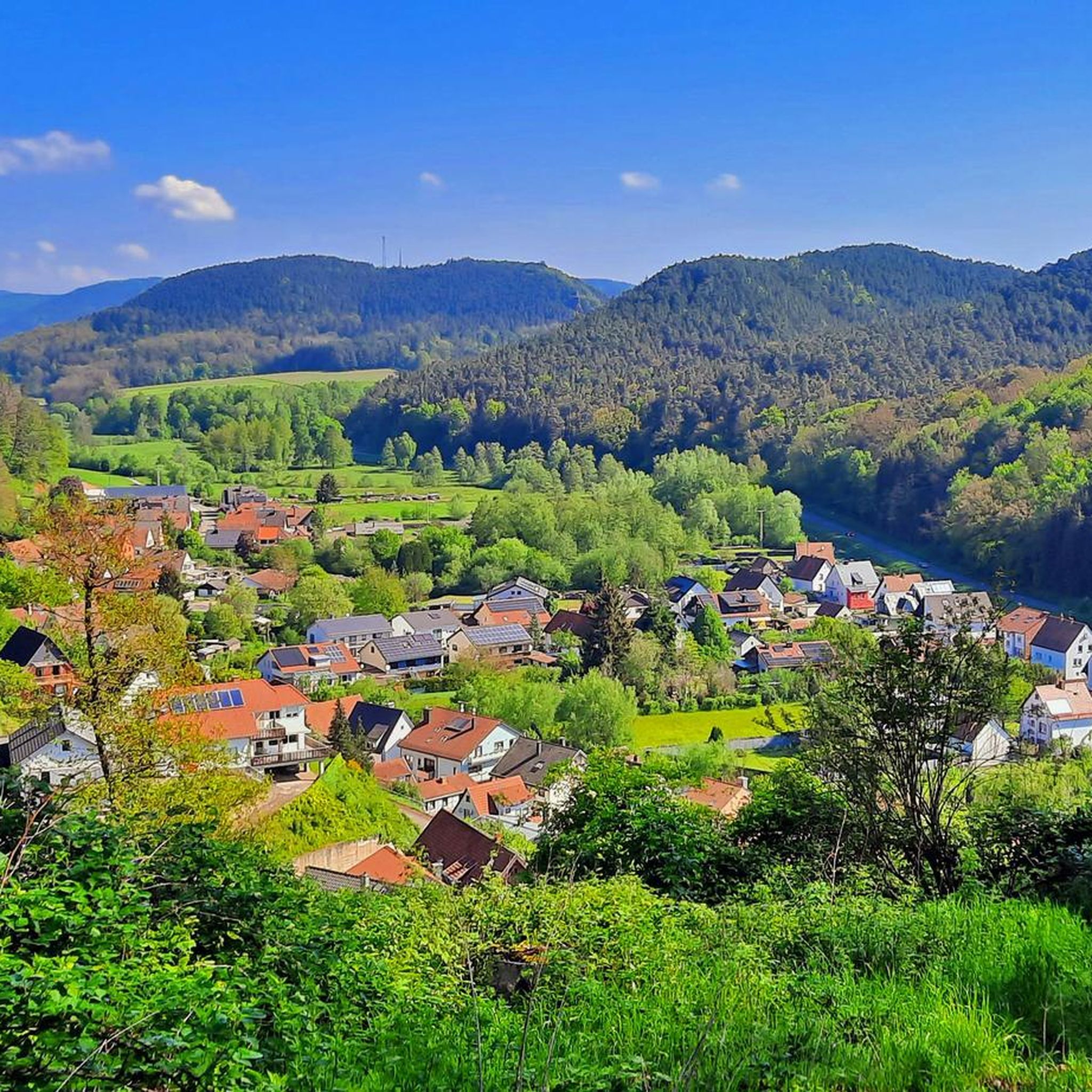
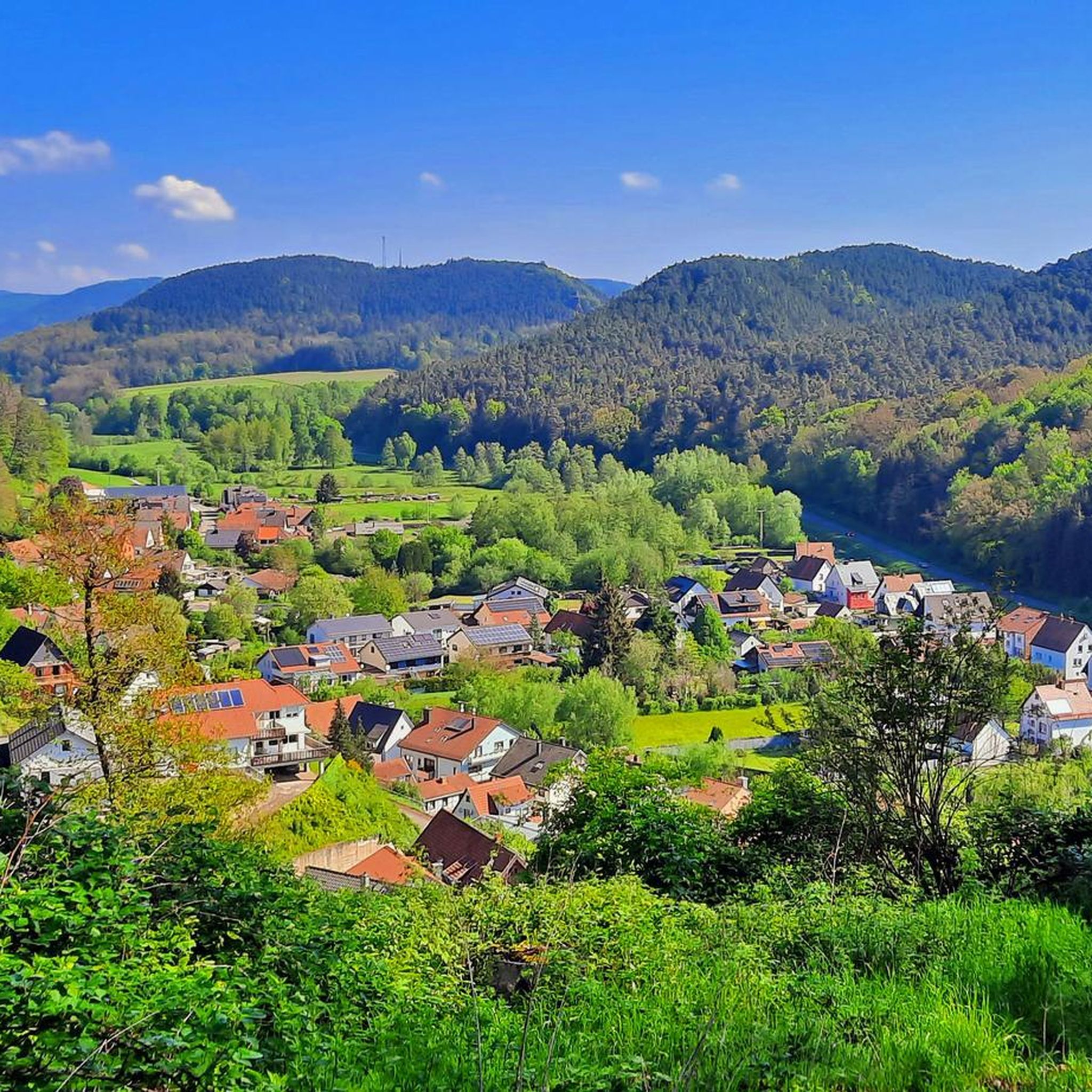
Schuhfels lookout point with seating and a beautiful view of Bruchweiler-Bäenbach and the surrounding forest landscape.
3
0
Frequently Asked Questions
How many hiking trails are there in Bruchweiler-Bärenbach?
Bruchweiler-Bärenbach offers a comprehensive network of over 45 hiking trails. These routes cater to various preferences, ranging from easy strolls to more challenging paths, ensuring there's something for every hiker.
What kind of landscapes and natural features can I expect to see while hiking?
The region is characterized by its impressive red sandstone formations, some towering over 60 meters high, creating a dramatic and unique scenery. You'll encounter dense forests, gentle hills, and clear streams. Notable rock formations include the Ungeheuer Rock, the Bride and Groom Rock Formations, and the Teufelstisch, which offers breathtaking panoramic views. The area is part of the Palatinate Forest / Wasgau region, a cross-border Biosphere Reserve.
Are there any circular hiking routes in Bruchweiler-Bärenbach?
Yes, many trails in Bruchweiler-Bärenbach are designed as circular routes, allowing you to start and end at the same point. For example, the View of Hochstein Rock Formation – Rock Passage Near Büttelfelsen loop from Dahner Felsenland is a moderate 9.2 km circular hike, and the Lämmerfels Rock Formation with View – Rock Passage Near Büttelfelsen loop from Dahner Felsenland is another popular moderate loop covering 11.4 km.
What are some family-friendly hiking options in Bruchweiler-Bärenbach?
The area offers a good selection of easy trails suitable for families. With 21 easy routes available, you can find paths that are less strenuous and often shorter, perfect for younger hikers or those seeking a leisurely walk. These trails typically lead through forests and past interesting rock formations, providing engaging scenery for all ages.
Can I hike with my dog in Bruchweiler-Bärenbach?
Yes, hiking with dogs is generally permitted on the trails around Bruchweiler-Bärenbach. The extensive network of forest paths and open landscapes provides ample opportunities for you and your canine companion to explore. It's always recommended to keep your dog on a leash, especially in nature reserves or near wildlife, and to respect local regulations.
Are there any historical sites or castles I can visit on a hike?
Absolutely. The region is rich in history, featuring several castles and ruins that can be incorporated into your hikes. You can explore sites like Burgruine Drachenfels, Wegelnburg, and the Altdahn castle group. The Jüngstbergkanzel Viewpoint – Drachenfels Castle Ruins loop from Bruchweiler-Bärenbach is a great option that includes the historic Drachenfels Castle Ruins.
What are the best times of year to go hiking in Bruchweiler-Bärenbach?
The best seasons for hiking in Bruchweiler-Bärenbach are spring and autumn. During these times, the landscape is particularly vibrant with blooming flora or colorful foliage, and the weather is typically mild and pleasant, making for ideal hiking conditions. While summer offers longer daylight hours, it can be warmer, and winter hikes are possible but may require appropriate gear for colder conditions.
Are there places to rest or get refreshments along the trails?
Yes, along many trails, you'll find huts and rest stops where you can take a break and often enjoy refreshments. Notable places include the Pfälzerwaldhütte "Am Schmalstein" and the Drachenfelshütte (PWV Busenberg). These provide convenient spots to recharge during your hike.
How challenging are the hiking trails in Bruchweiler-Bärenbach?
The hiking trails in Bruchweiler-Bärenbach cater to a wide range of abilities. Out of 48 total routes, 21 are classified as easy, 24 as moderate, and 3 as difficult. This variety ensures that both casual walkers and experienced hikers can find suitable challenges, from gentle forest paths to more demanding ascents over rocky terrain.
Are there any specific premium hiking trails I should know about?
Bruchweiler-Bärenbach is recognized as a "Premium Hiking Region Dahner Felsenland" and features certified premium trails. Two notable ones starting directly from the village are the "Bären-Steig" and the "Napoleon-Steig." These trails are known for their excellent signage, diverse landscapes, and numerous highlights, including impressive rock massifs and scenic viewpoints.
Where can I find parking for hiking trails in Bruchweiler-Bärenbach?
Many popular trailheads and starting points in and around Bruchweiler-Bärenbach offer designated parking areas. These are often located near the village center or at key access points to the larger trail networks, making it convenient to begin your hike. Specific parking information can often be found on local tourism websites or detailed trail maps.
What do other hikers say about the trails in Bruchweiler-Bärenbach?
The hiking trails in Bruchweiler-Bärenbach are highly rated by the komoot community, with an average score of 4.7 stars from over 2200 reviews. Hikers frequently praise the unique red sandstone formations, the well-maintained paths, and the stunning panoramic views from various viewpoints and castle ruins. The diversity of routes and the natural beauty of the Palatinate Forest are often highlighted as key attractions.
Are there any unique geological formations to explore?
Yes, the region is famous for its unique red sandstone formations. Beyond the well-known Teufelstisch, you can explore the massive Fladensteine, often called the "7 brothers" due to their seven towers, and the symmetrically conical Jüngstberg with its plateau-like viewing rock. Other impressive formations include the Retschelfelsen, Rauhbergfelsen, and Geiersteine, many of which are integrated into the hiking trails.
Most popular routes around Bruchweiler-Bärenbach
Most popular attractions around Bruchweiler-Bärenbach

Get inspired with the komoot mobile app


Explore more
Browse the best Hikes in other regions.
