National Park Calblanque, Monte de las Cenizas y Peña del Águila
National Park Calblanque, Monte de las Cenizas y Peña del Águila
The best running trails around National Park Calblanque, Monte de las Cenizas y Peña del Águila
4.5
(3)
193
runners
17
runs
Jogging routes around National Park Calblanque, Monte de las Cenizas y Peña del Águila traverse a diverse landscape featuring Aleppo pine forests, scrubland, and ancient paleodunes. The region is characterized by pristine coves, dramatic cliffs, and mountainous terrain, offering varied elevations for runners. Coastal paths provide expansive views of the sea, while inland trails wind through unique geological formations. This blend of ecosystems ensures a dynamic and engaging experience for all running levels.
Best jogging routes around National Park Calblanque, Monte de las Cenizas y Peña del Águila
- The most popular jogging route is Running circular from El Atochar to Cabezo de la Fuente, a 5.7 miles (9.2 km) trail that takes 1 hour 14 minutes to complete. This moderate route offers varied terrain with coastal glimpses.
- Another top favourite among local runners is Punta Negra Viewpoint – Cala de los Déntoles loop from Rincón de San Ginés, a difficult 14.8 miles (23.8 km) path. This challenging route features significant elevation changes and panoramic coastal views.
- Local runners also love the Cabezo de la Fuente loop from Parque Regional Calblanque, Monte de las Cenizas y Peña del Águila, a 3.9 miles (6.3 km) trail leading through varied landscapes, often completed in about 54 minutes.
- Jogging around National Park Calblanque, Monte de las Cenizas y Peña del Águila is defined by coastal paths, mountainous terrain, and unique dune systems. The network offers options for different ability levels, from moderate trails to more challenging routes.
- The routes in National Park Calblanque, Monte de las Cenizas y Peña del Águila are highly rated by the komoot community with an average score of 4.5 stars from 3 reviews. More than 200 runners have used komoot to explore National Park Calblanque, Monte de las Cenizas y Peña del Águila's varied terrain.
Last updated: July 13, 2026
7
runners
9.16km
01:14
280m
280m
Moderate run. Good fitness required. Mostly paved surfaces. Suitable for all skill levels.
24
runners
Hard run. Very good fitness required. Sure-footedness, sturdy shoes and alpine experience required.

Sign up for free
11
runners
Hard run. Good fitness required. Sure-footedness, sturdy shoes and alpine experience required.
4.0
(1)
13
runners
5.32km
00:35
90m
90m
Moderate run. Good fitness required. Mostly paved surfaces. Suitable for all skill levels.
9
runners
Hard run. Good fitness required. Sure-footedness, sturdy shoes and alpine experience required.
Get access to more routes and recommendations from other explorers.
Sign up for free
Already have an account?
Our route recommendations are based on thousands of hikes, rides, and runs completed by other people on komoot.
Start today with a free account
Your next adventure awaits.
Login or Signup
Popular around National Park Calblanque, Monte de las Cenizas y Peña del Águila
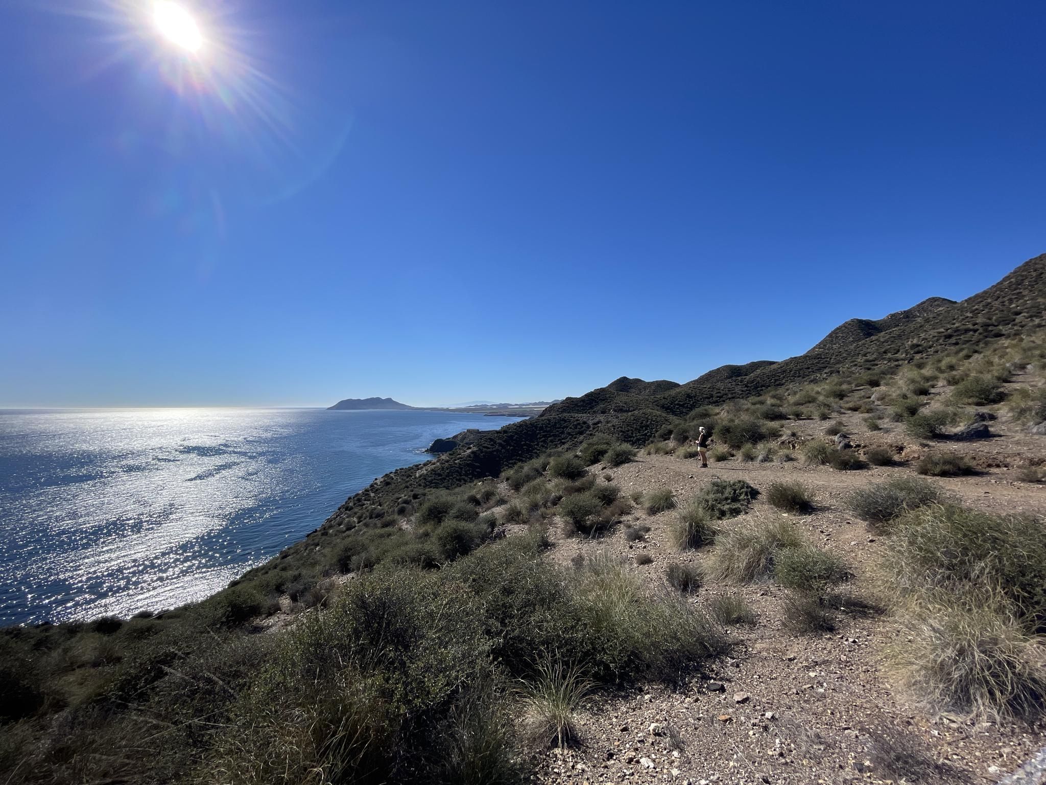
Mediterranean industry and nature – hike the GR 92 in Murcia
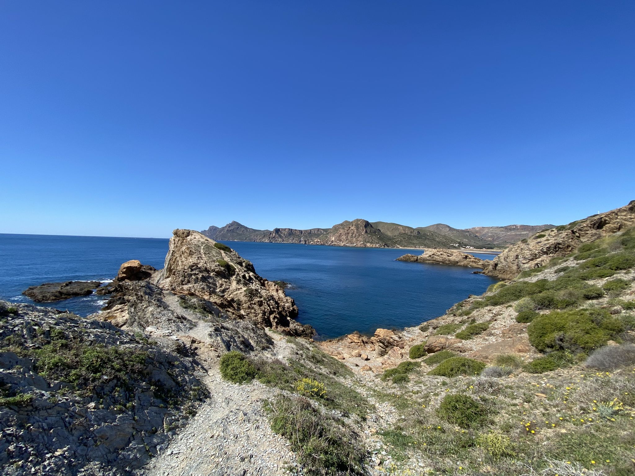
Walk among volcanoes and cliffs – Cape Palos and Calblanque
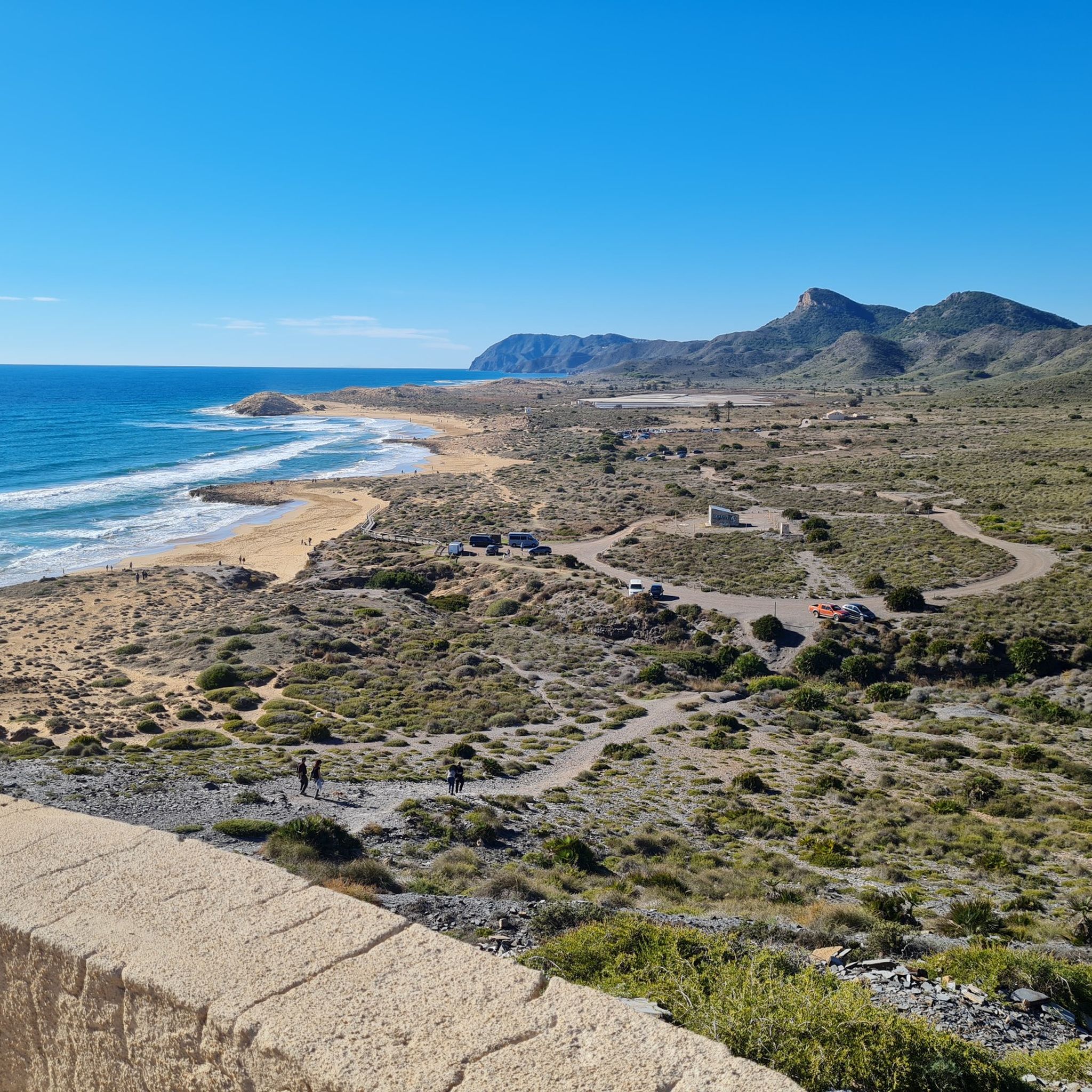
Hiking around National Park Calblanque, Monte de las Cenizas y Peña del Águila
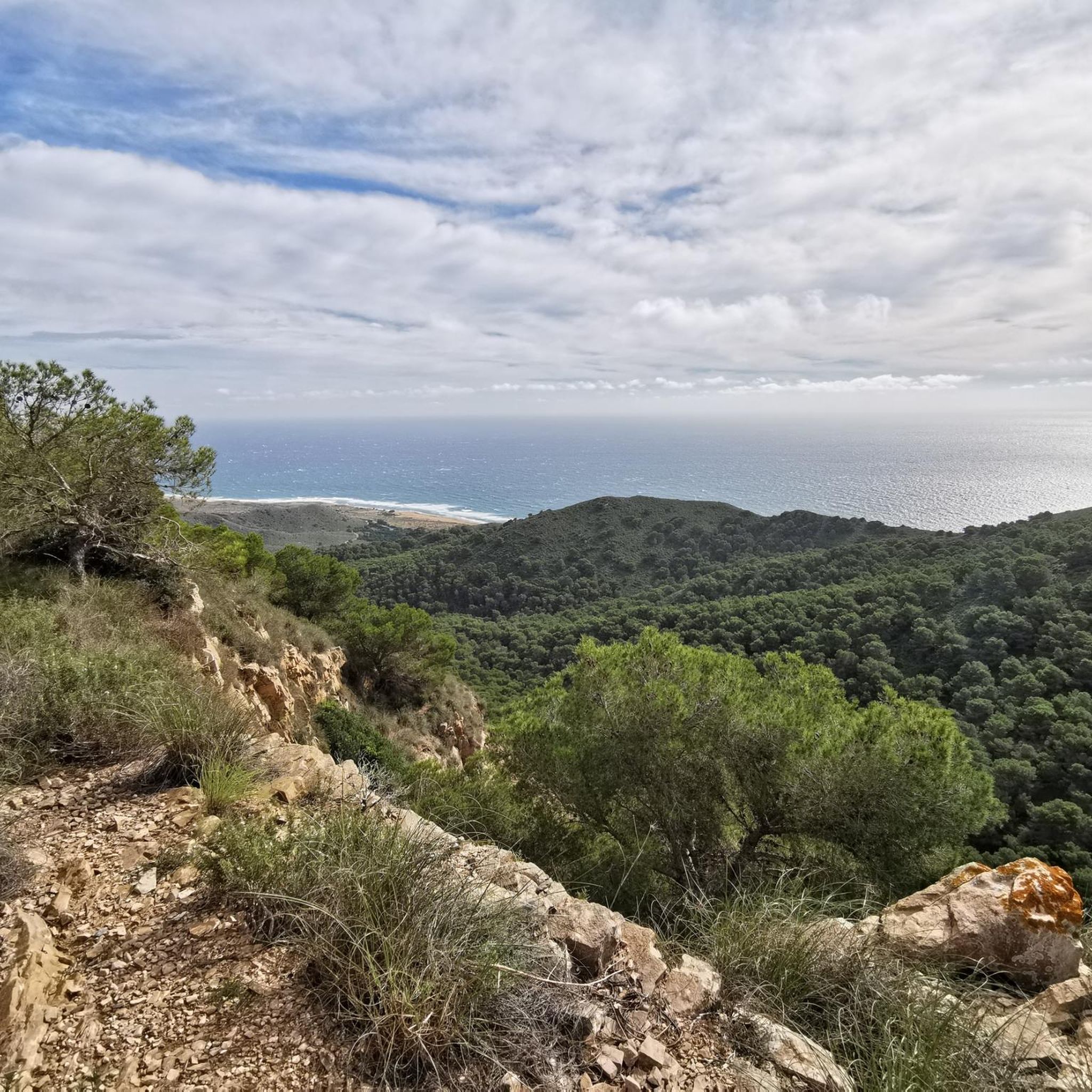
Cycling around National Park Calblanque, Monte de las Cenizas y Peña del Águila
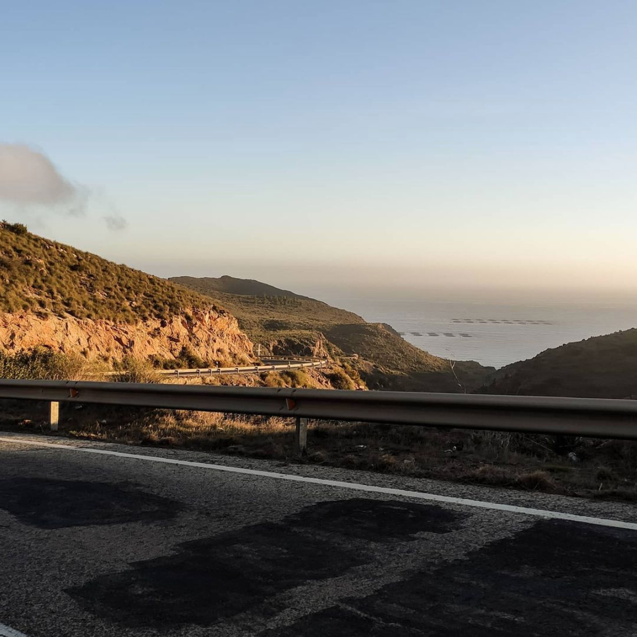
Road Cycling Routes around National Park Calblanque, Monte de las Cenizas y Peña del Águila
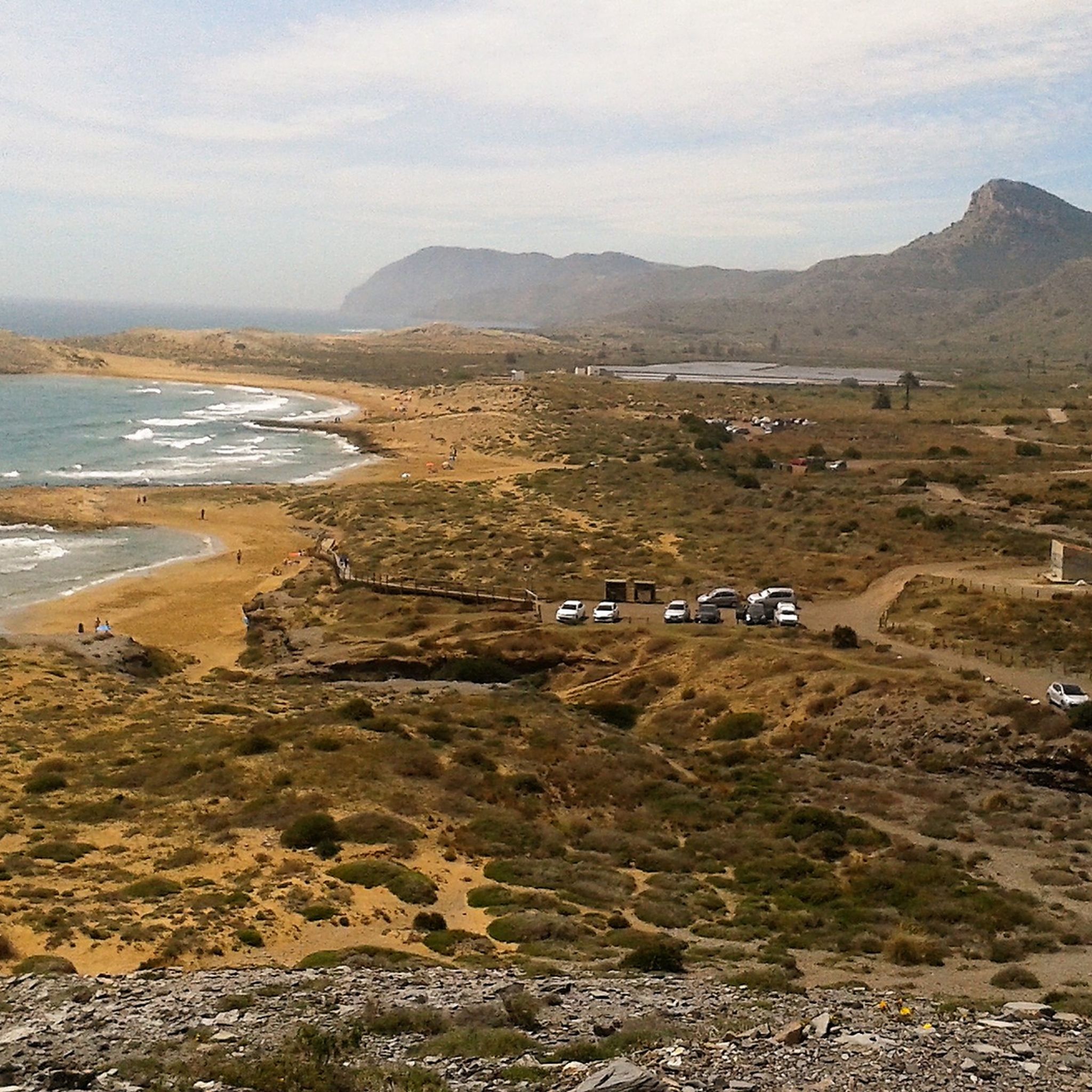
MTB Trails around National Park Calblanque, Monte de las Cenizas y Peña del Águila

Gravel biking around National Park Calblanque, Monte de las Cenizas y Peña del Águila
Other adventures around National Park Calblanque, Monte de las Cenizas y Peña del Águila


Tips from the Community

Park Calblanque is probably the best Natural Park to visit in Murcia. It is near to Cartagena, which in itself is worth a visit to enjoy the vibrant town and Roman history. Park Calblanque has stunning natural beaches. sand dunes and a wild coastline. Highly recommended.
0
0

The beach can be reached directly from a public car park.
0
0

From this point you can see the sea between the mountains, the combination of green and blue is spectacular.
1
0

Remote beach, with tranquility and good views.
0
0

Cala Reona is a small beach located south of Cabo de Palos, in Cartagena, Murcia. It is ideal for snorkeling and diving, and in addition to a car park, there is a small seasonal bar.
0
0
Beautiful cove that suits us very well to continue our search for the GR 92
3
0
Beautiful view over Calblanque and the entire area. Including Mount Ashes
4
0

Within the Calblanque Regional Park, the top of Cabezo de la Fuente offers spectacular views! A very picturesque and pleasant place very close to the sea, which allows privileged panoramic views of the Murcian coast.
2
1
Frequently Asked Questions
How many running routes are available in National Park Calblanque, Monte de las Cenizas y Peña del Águila?
There are over 15 running routes in National Park Calblanque, Monte de las Cenizas y Peña del Águila, offering a diverse range of experiences for all levels. The komoot community has explored these trails over 200 times.
What kind of terrain can I expect on the jogging routes in this region?
The region offers a remarkable blend of diverse landscapes. You can expect varied terrain including coastal paths, scrubland, ancient paleodunes, and mountainous sections with moderate inclines. This ensures a dynamic and engaging experience for runners.
Are there any easy or beginner-friendly running routes in Calblanque?
While many routes offer varied terrain, some are more accessible. For a moderate option, consider Running circular from El Atochar to Cabezo de la Fuente, which is 5.7 miles (9.2 km) with coastal glimpses. Another moderate choice is Running loop from Wellness Center La Manga Club, which is 3.3 miles (5.3 km) with less elevation.
Can I find circular running trails in the park?
Yes, several routes are circular, allowing you to start and finish at the same point. A popular circular option is Running circular from El Atochar to Cabezo de la Fuente. Another is the Cabezo de la Fuente loop from Parque Regional Calblanque, Monte de las Cenizas y Peña del Águila, which is 3.9 miles (6.3 km).
What are some notable sights or viewpoints along the running paths?
The park is rich in natural beauty and historical sites. Along your run, you might encounter pristine coves and beaches like Playa Larga and Playa Negrete. For panoramic views, the Mirador de Cenizas offers breathtaking vistas of the coastline and Mar Menor. You can also see historical military constructions, including impressive Vickers cannons, in the Monte de las Cenizas area.
Is National Park Calblanque suitable for family jogging with children?
Yes, the park offers paths suitable for families, especially those looking for less strenuous options. While specific 'family-friendly' routes are not explicitly listed, the varied terrain means you can choose shorter, flatter sections, particularly along the coastal paths, for a pleasant family outing.
Are dogs allowed on the running trails in Calblanque?
While the park is a natural area, specific regulations regarding dogs on trails can vary. It's generally advisable to keep dogs on a leash to protect the local wildlife and ensure a pleasant experience for all visitors. Always check local signage for the most current rules.
What is the best time of year to go jogging in this region?
The region enjoys a Mediterranean climate, making spring and autumn ideal for jogging. Temperatures are milder, and the natural landscapes are vibrant. Summer can be very hot, especially midday, so early morning or late evening runs are recommended during those months. Winter offers cooler, pleasant conditions.
Are there options for parking near the running trails?
Yes, parking is available at various access points to the park and its trails. Popular starting points often have designated parking areas. It's recommended to arrive early during peak seasons to secure a spot, especially near well-known trailheads.
Can I reach the jogging routes by public transport?
Public transport options to National Park Calblanque are available, particularly during the summer months when bus services often increase to popular areas. It's advisable to check local bus schedules, especially for routes connecting to Cartagena or nearby towns, to plan your visit effectively.
What kind of wildlife or flora might I encounter while running?
The park is a biodiversity hotspot. You might spot various aquatic birds in the Salinas del Rasall, a wetland area, and raptors like peregrine falcons and Bonelli's eagles overhead. The flora includes endemic species such as the Cartagena cypress and Cartagena rockrose, adding to the unique natural environment.
Are there any challenging running routes for experienced runners?
Absolutely. For experienced runners seeking a challenge, routes like Punta Negra Viewpoint – Cala de los Déntoles loop from Rincón de San Ginés offer significant elevation changes over 14.8 miles (23.8 km). Another difficult option is Rough road to cala del Barco loop from Parque Regional Calblanque, Monte de las Cenizas y Peña del Águila, which is 4.7 miles (7.6 km) with notable ascents.
What do other runners say about the trails in National Park Calblanque?
The running routes in National Park Calblanque, Monte de las Cenizas y Peña del Águila are highly rated by the komoot community, with an average score of 4.5 stars from 3 reviews. Runners often praise the diverse landscapes, constant coastal views, and the engaging experience provided by the varied terrain.
Most popular routes around National Park Calblanque, Monte de las Cenizas y Peña del Águila
Most popular attractions around National Park Calblanque, Monte de las Cenizas y Peña del Águila

Get inspired with the komoot mobile app


Explore more
Browse the best Running Trails & Routes in other regions.
