National Park Calblanque, Monte de las Cenizas y Peña del Águila
National Park Calblanque, Monte de las Cenizas y Peña del Águila
The best road cycling routes around National Park Calblanque, Monte de las Cenizas y Peña del Águila
4.6
(95)
3,316
riders
64
rides
Road cycling routes around National Park Calblanque, Monte de las Cenizas y Peña del Águila traverse a diverse landscape featuring coastal stretches, rolling hills, and natural parkland. The region is characterized by its proximity to the Mar Menor lagoon and the Mediterranean Sea, offering routes with varied elevation profiles. Cyclists can expect paths that wind through protected natural areas and along the coastline. The terrain includes both flatter sections near the water and more undulating roads as routes venture into…
Last updated: July 5, 2026
4.7
(13)
376
riders
58.4km
03:01
130m
130m
Moderate road ride. Good fitness required. Some segments of this route may be unpaved and difficult to ride.
4.5
(2)
193
riders
Moderate road ride. Good fitness required. Some segments of this route may be unpaved and difficult to ride.

Sign up for free
159
riders
Moderate road ride. Good fitness required. Some segments of this route may be unpaved and difficult to ride.
54
riders
Hard road ride. Very good fitness required. Some segments of this route may be unpaved and difficult to ride.
28
riders
31.0km
01:20
150m
150m
Moderate road ride. Great for any fitness level. Some segments of this route may be unpaved and difficult to ride.
Get access to more routes and recommendations from other explorers.
Sign up for free
Already have an account?
Our route recommendations are based on thousands of hikes, rides, and runs completed by other people on komoot.
Start today with a free account
Your next adventure awaits.
Login or Signup
Popular around National Park Calblanque, Monte de las Cenizas y Peña del Águila
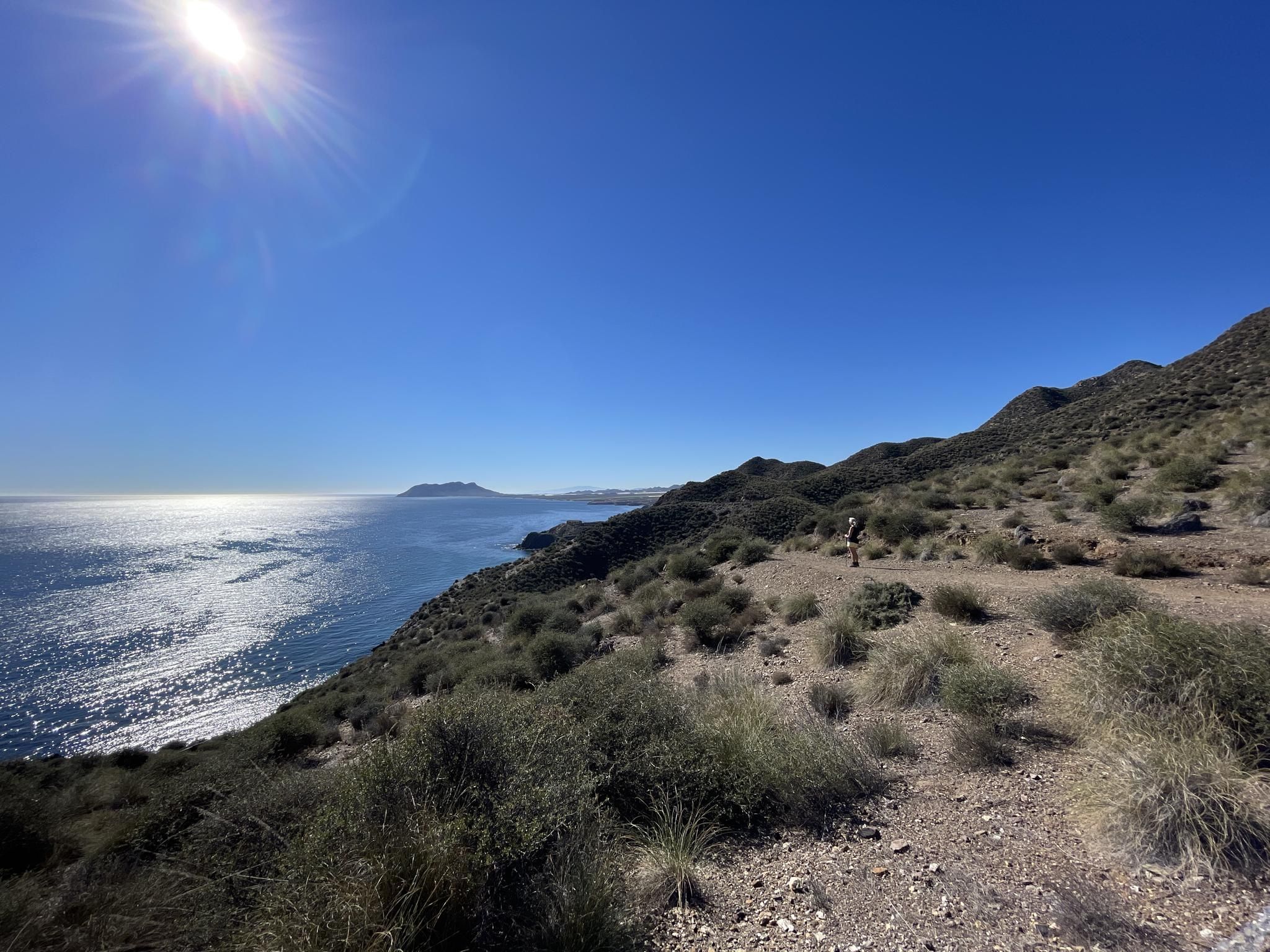
Mediterranean industry and nature – hike the GR 92 in Murcia
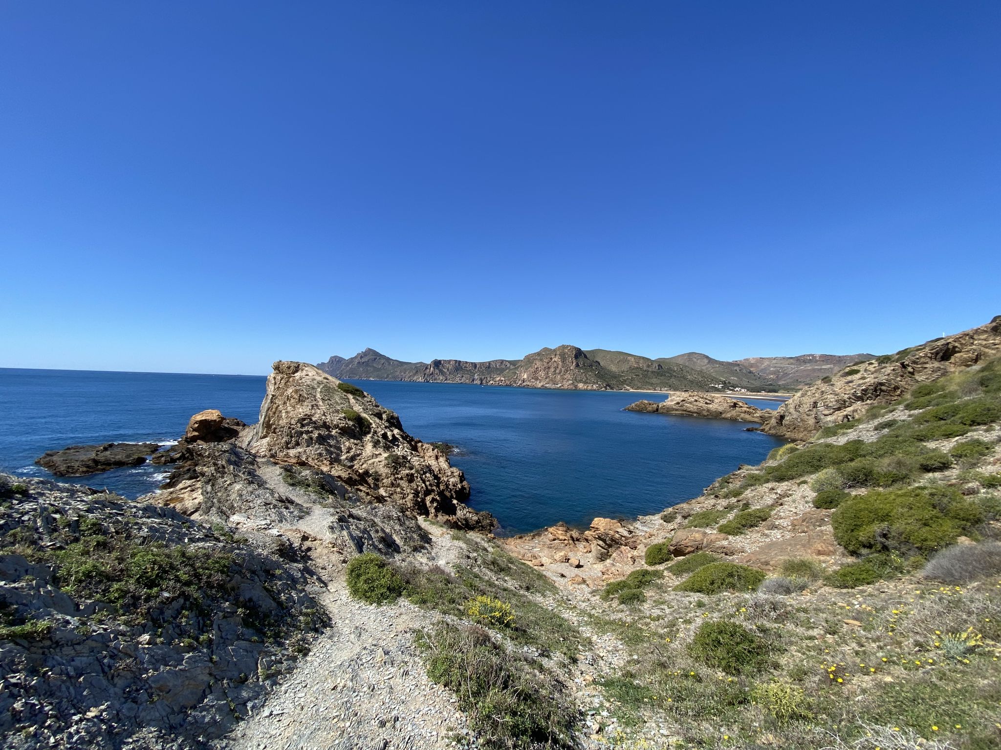
Walk among volcanoes and cliffs – Cape Palos and Calblanque
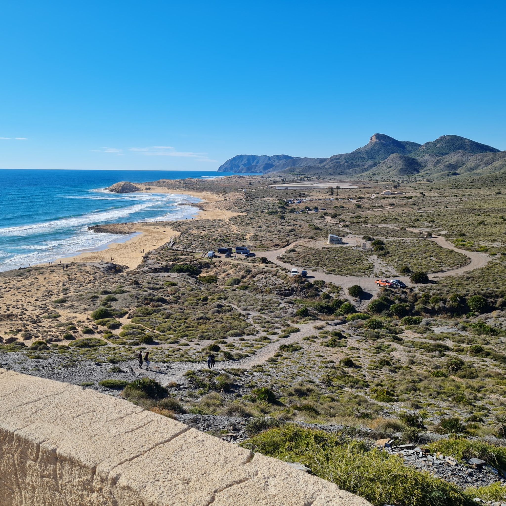
Hiking around National Park Calblanque, Monte de las Cenizas y Peña del Águila
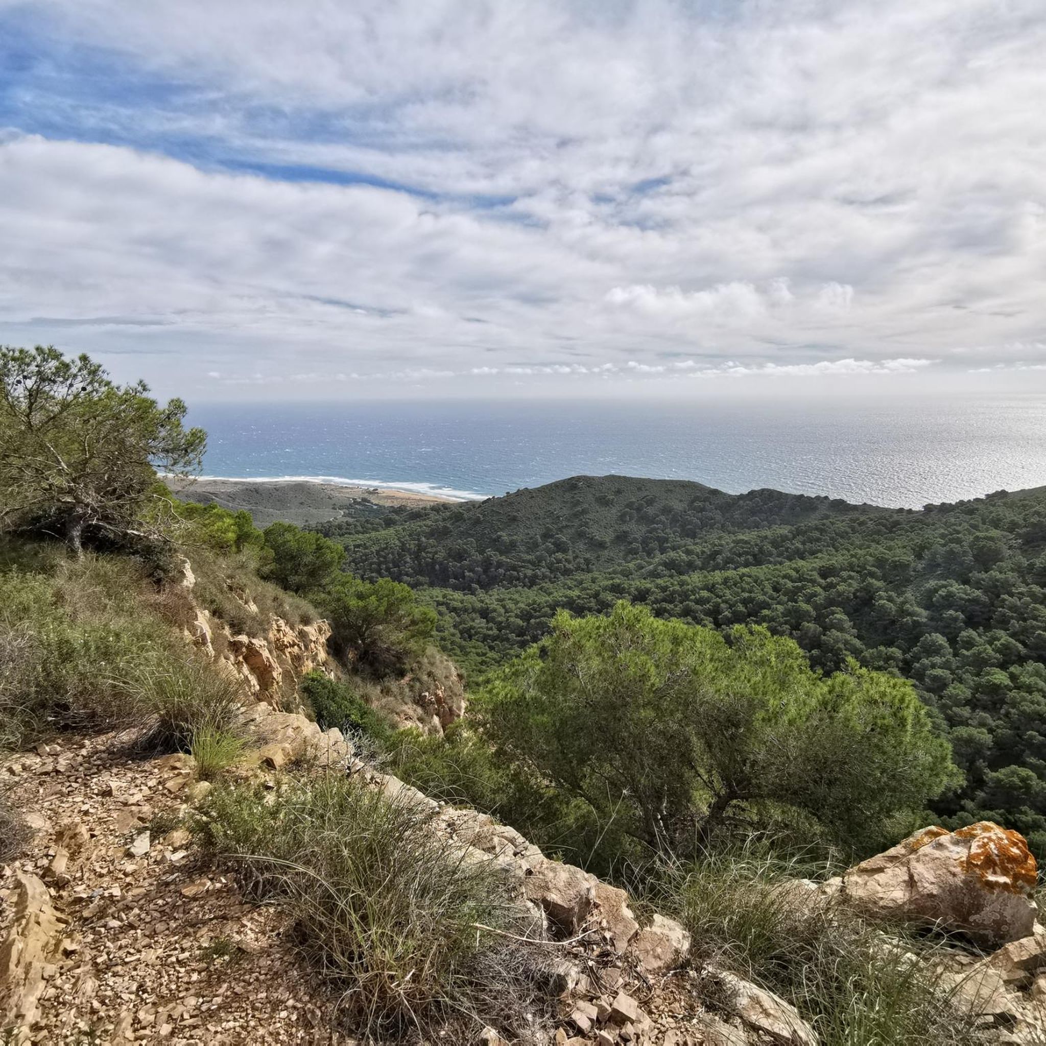
Cycling around National Park Calblanque, Monte de las Cenizas y Peña del Águila
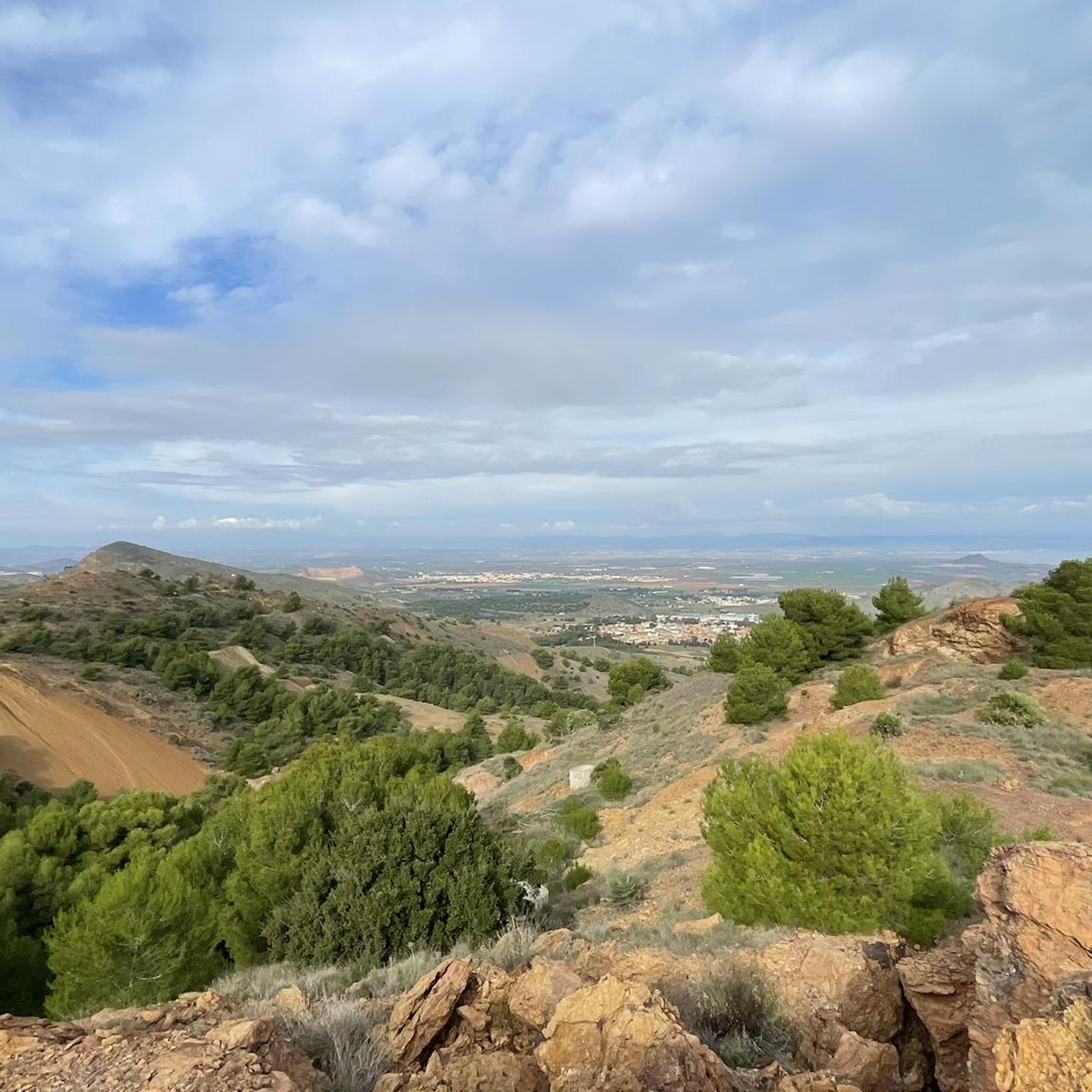
Running Trails around National Park Calblanque, Monte de las Cenizas y Peña del Águila
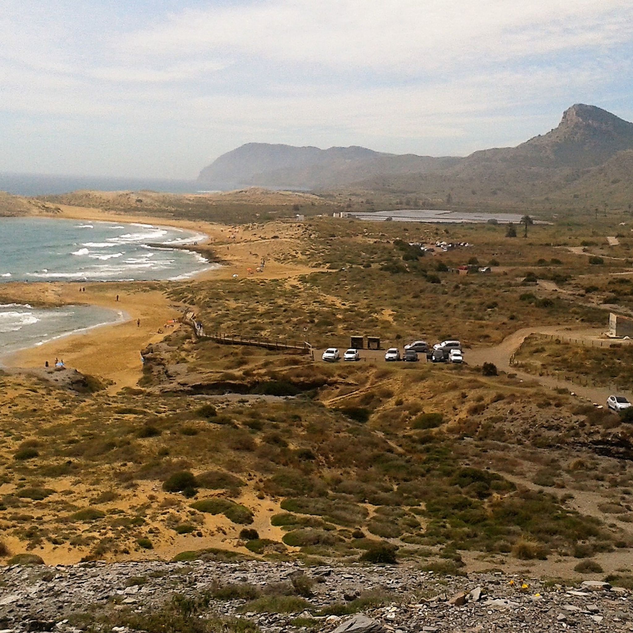
MTB Trails around National Park Calblanque, Monte de las Cenizas y Peña del Águila

Gravel biking around National Park Calblanque, Monte de las Cenizas y Peña del Águila
Other adventures around National Park Calblanque, Monte de las Cenizas y Peña del Águila


Tips from the Community

According to Parliamentary Question E-2325/2003 to the European Parliament, millions of tons of waste were dumped in Portman Bay between 1959 and 1989. It is estimated that approximately 13 million cubic meters of mud are flooding this bay, causing the 1957 shoreline to shift approximately 300 meters inland. This waste contains sulfides, arsenic, cadmium, copper, mercury, lead, and zinc, as the experts consulted acknowledge. One of Europe's greatest environmental disasters, so it's not a "highlight," but it's still a beautiful cycling route...
0
0
If you drive towards the coast, the viewpoint is after the hill on the descent.
0
0

However, you shouldn't be afraid of the steep slopes to enjoy this landscape ;)
0
0
Very tasty cakes and tarts
0
0
Very pretty promenade in the heart of Cartagena. A city with 220,000 inhabitants and 3,000 years of history.
0
0
Beautiful route along the saltwater lagoon
1
0

The mud of the ponds is the result of centuries of action of the sun and the very salty water of the Mar Menor. The result is a mud that, when applied to the skin, has great therapeutic value for all types of ailments: rheumatism, arthritis, gout, skin pathologies, rehabilitation after fractures, throat, etc. The ideal complement to the treatment is to take a bath in the mineralized water of the Mar Menor.
4
0
Frequently Asked Questions
How many road cycling routes are available in the National Park Calblanque, Monte de las Cenizas y Peña del Águila region?
There are nearly 70 road cycling routes in the National Park Calblanque, Monte de las Cenizas y Peña del Águila region. These routes cater to various skill levels, offering options from easy coastal rides to more challenging climbs through the hills.
Are there easy road cycling routes suitable for beginners or families?
Yes, the region offers 15 easy road cycling routes. These typically feature flatter sections, especially near the coast and the Mar Menor lagoon, making them ideal for beginners or family outings. An example is the Roadbike loop from Atamaria, which is a moderate 14.9-mile (23.9 km) ride with manageable elevation.
What kind of terrain and scenery can I expect on road cycling routes in this area?
Road cycling routes here offer a diverse landscape, from coastal stretches with views of the Mediterranean Sea and Mar Menor lagoon to rolling hills within the natural parkland. You'll find paths winding through protected natural areas, past historic sites, and along scenic viewpoints.
What are some notable viewpoints or landmarks I can see along the road cycling routes?
Many routes offer stunning views. You can encounter landmarks such as the Mirador de Cenizas, offering panoramic vistas, or the Cabezo de la Fuente. Some routes also pass by the La Chapa Battery and Portmán Lighthouse, providing historical and scenic interest.
Are there challenging road cycling routes for experienced riders?
Yes, there are 5 difficult road cycling routes available for experienced riders seeking more demanding climbs and descents. These routes often venture into the more undulating terrain of Monte de las Cenizas and Peña del Águila, offering greater elevation gains. An example is the Puerto de Atamaría – Portmán Coastal Road loop from Portmán, which covers 28.1 miles (45.2 km) with significant elevation changes.
When is the best time of year for road cycling in the National Park Calblanque region?
The National Park Calblanque, Monte de las Cenizas y Peña del Águila region is excellent for road cycling almost year-round. Spring and autumn offer pleasant temperatures, while winters are generally mild, making it a popular destination for winter training. Summers can be hot, so early morning or late afternoon rides are recommended during peak season.
Are there loop trails available for road cyclists?
Yes, the majority of road cycling routes in the National Park Calblanque, Monte de las Cenizas y Peña del Águila region are designed as loops. This allows cyclists to start and finish at the same point, making logistics easier. For instance, the Old Windmill – Club Náutico Mar Menor loop from Atamaria is a popular loop option.
What do other road cyclists enjoy most about road cycling in this region?
The area is highly rated by the komoot community, with an average score of 4.6 stars. Reviewers often praise the stunning coastal roads, the extensive views of the Mar Menor, and the diverse routes that wind through natural park landscapes. The variety of routes catering to different skill levels is also frequently highlighted.
Are there any cafes or refreshment stops along the road cycling routes?
Given the region's popularity, especially around coastal towns and villages adjacent to the natural park, you will find various cafes, restaurants, and shops where you can stop for refreshments. Planning your route to pass through these areas can enhance your cycling experience.
What are the typical distances and durations for road cycling routes in the area?
Route distances vary significantly, from shorter rides of around 12 miles (20 km) to longer excursions exceeding 40 miles (60 km). Durations can range from just over an hour for shorter, easier loops to 3-4 hours or more for moderate to difficult routes, depending on your pace and the elevation profile.
Is public transport available to access road cycling routes in the Calblanque area?
While direct public transport into the heart of the natural park might be limited, regional bus services connect surrounding towns like Cartagena and Los Alcázares, which are often starting points or accessible hubs for many routes. It's advisable to check local bus schedules and bike transport policies if you plan to use public transport.
Most popular routes around National Park Calblanque, Monte de las Cenizas y Peña del Águila
Most popular attractions around National Park Calblanque, Monte de las Cenizas y Peña del Águila

Get inspired with the komoot mobile app


Explore more
Browse the best Road cycling routes in other regions.
