National Park Calblanque, Monte de las Cenizas y Peña del Águila
National Park Calblanque, Monte de las Cenizas y Peña del Águila
The best walks and hikes around National Park Calblanque, Monte de las Cenizas y Peña del Águila
4.4
(1250)
7,719
hikers
59
hikes
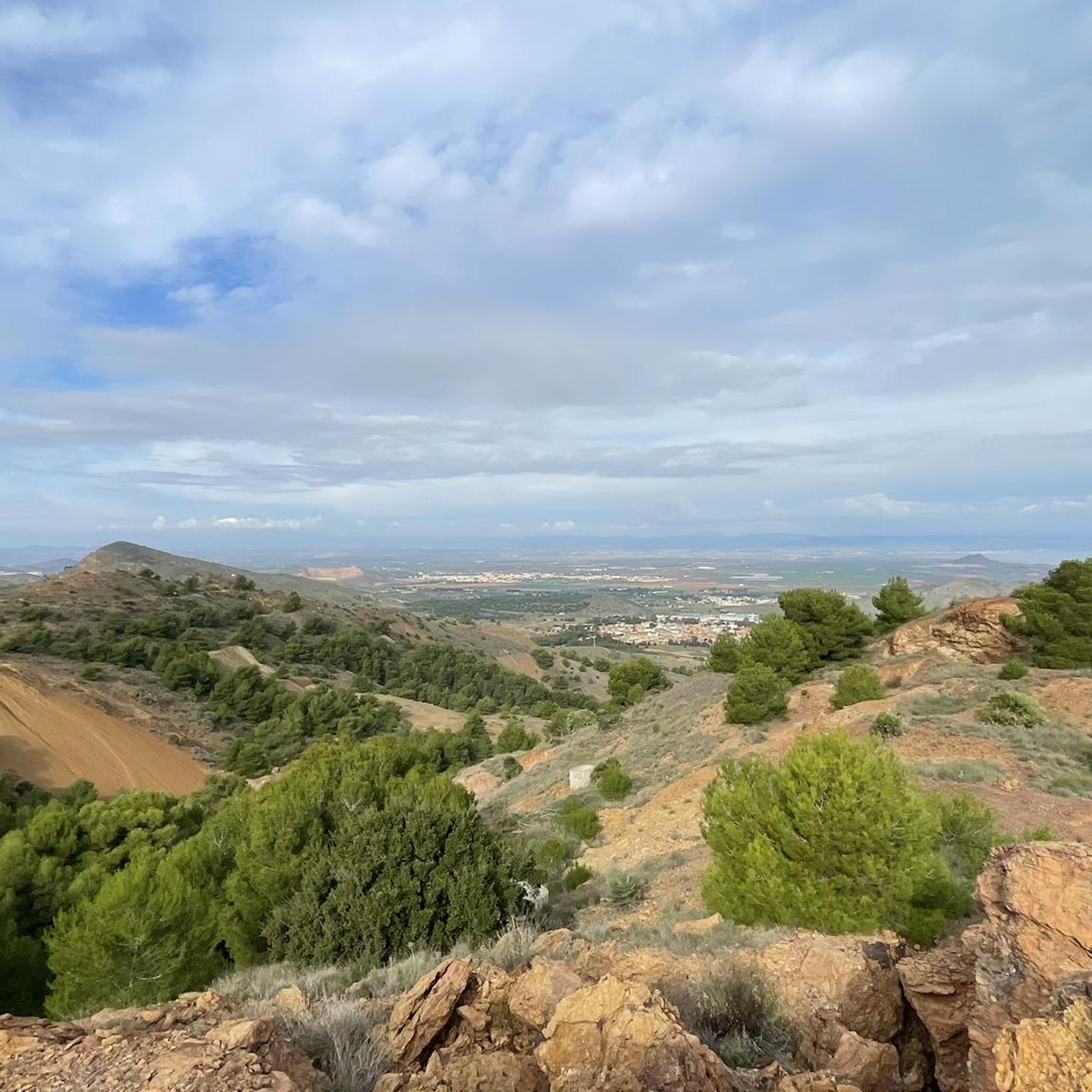
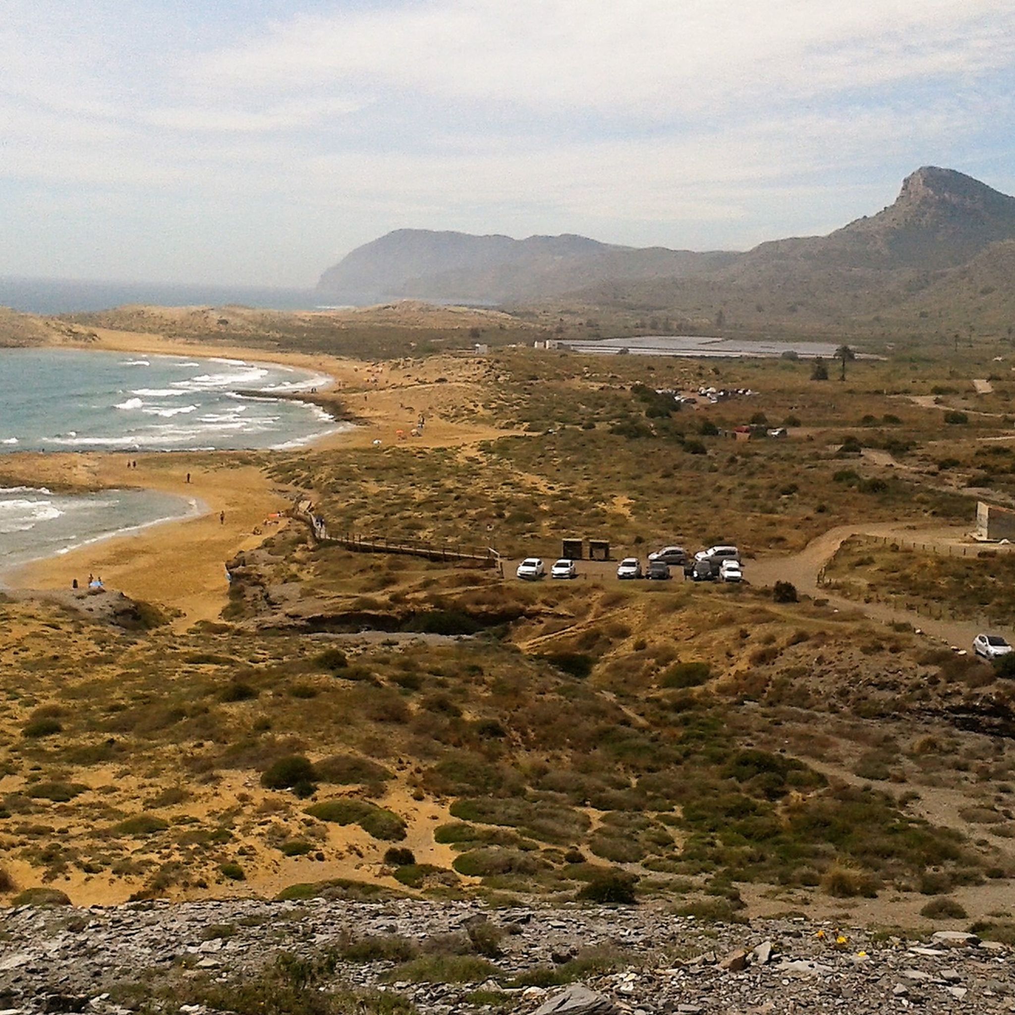
Hiking around National Park Calblanque, Monte de las Cenizas y Peña del Águila offers diverse terrain across its 1,882 hectares. The region features over 13 km of varied coastline, including rocky cliffs, expansive sandy beaches, and secluded coves. Inland, the park encompasses rugged terrain with hills like Monte de las Cenizas (307m) and Cabezo de la Fuente (342m), alongside unique geological formations such as fossil dunes and salt flats. These varied landscapes provide a range of hiking experiences through coastal pine forests and diverse habitats.
Best hiking trails around National Park Calblanque, Monte de las Cenizas y Peña del Águila
- The most popular hiking route is Cabezo de la Fuente Loop Trail, a 7.5 miles (12.1 km) trail that takes 3 hours 27 minutes to complete. This moderate route ascends Cabezo de la Fuente, offering panoramic views.
- Another top favourite among local hikers is Punta Negra Viewpoint – Cala de los Déntoles loop from Cala Arturo, an easy 3.6 miles (5.9 km) path. This trail provides access to secluded coves and coastal viewpoints.
- Local hikers also love the Viewpoint of Portman Bay – Cenizas Coastal Battery loop from Atamaria, a 4.1 miles (6.6 km) trail leading through coastal landscapes and historical military sites, often completed in about 1 hour 55 minutes.
- Hiking around National Park Calblanque, Monte de las Cenizas y Peña del Águila is defined by varied coastlines, rugged hills, and unique geological formations. The network offers options for different ability levels, from easy coastal walks to more challenging ascents.
- The routes in National Park Calblanque, Monte de las Cenizas y Peña del Águila are highly rated by the komoot community with an average score of 4.6 stars from over 470 reviews. More than 2,700 hikers have used komoot to explore National Park Calblanque, Monte de las Cenizas y Peña del Águila's varied terrain.
Last updated: July 3, 2026
4.7
(85)
345
hikers
12.1km
03:52
350m
350m
Moderate hike. Good fitness required. Mostly accessible paths. Sure-footedness required.
4.7
(6)
23
hikers
12.7km
04:30
480m
480m
Hard hike. Good fitness required. Sure-footedness, sturdy shoes and alpine experience required.

Sign up for free
4.7
(95)
409
hikers
12.1km
03:21
210m
210m
Moderate hike. Good fitness required. Easily-accessible paths. Suitable for all skill levels.
4.7
(44)
425
hikers
5.85km
01:38
110m
110m
Easy hike. Great for any fitness level. Easily-accessible paths. Suitable for all skill levels.
4.6
(38)
415
hikers
6.56km
01:55
180m
180m
Easy hike. Great for any fitness level. Easily-accessible paths. Suitable for all skill levels.
Get access to more routes and recommendations from other explorers.
Sign up for free
Already have an account?
Our route recommendations are based on thousands of hikes, rides, and runs completed by other people on komoot.
Start today with a free account
Your next adventure awaits.
Login or Signup
Popular around National Park Calblanque, Monte de las Cenizas y Peña del Águila
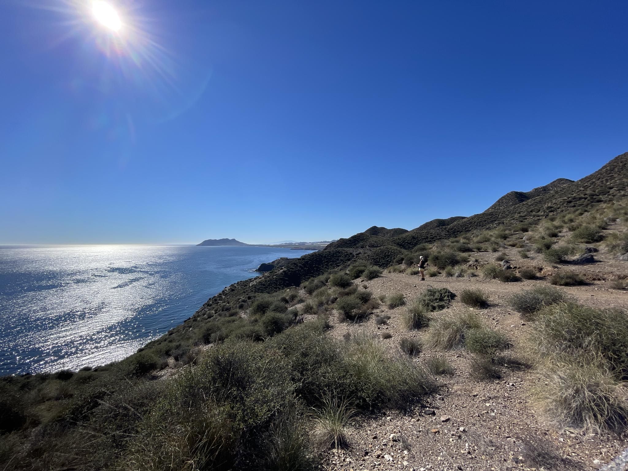
Mediterranean industry and nature – hike the GR 92 in Murcia
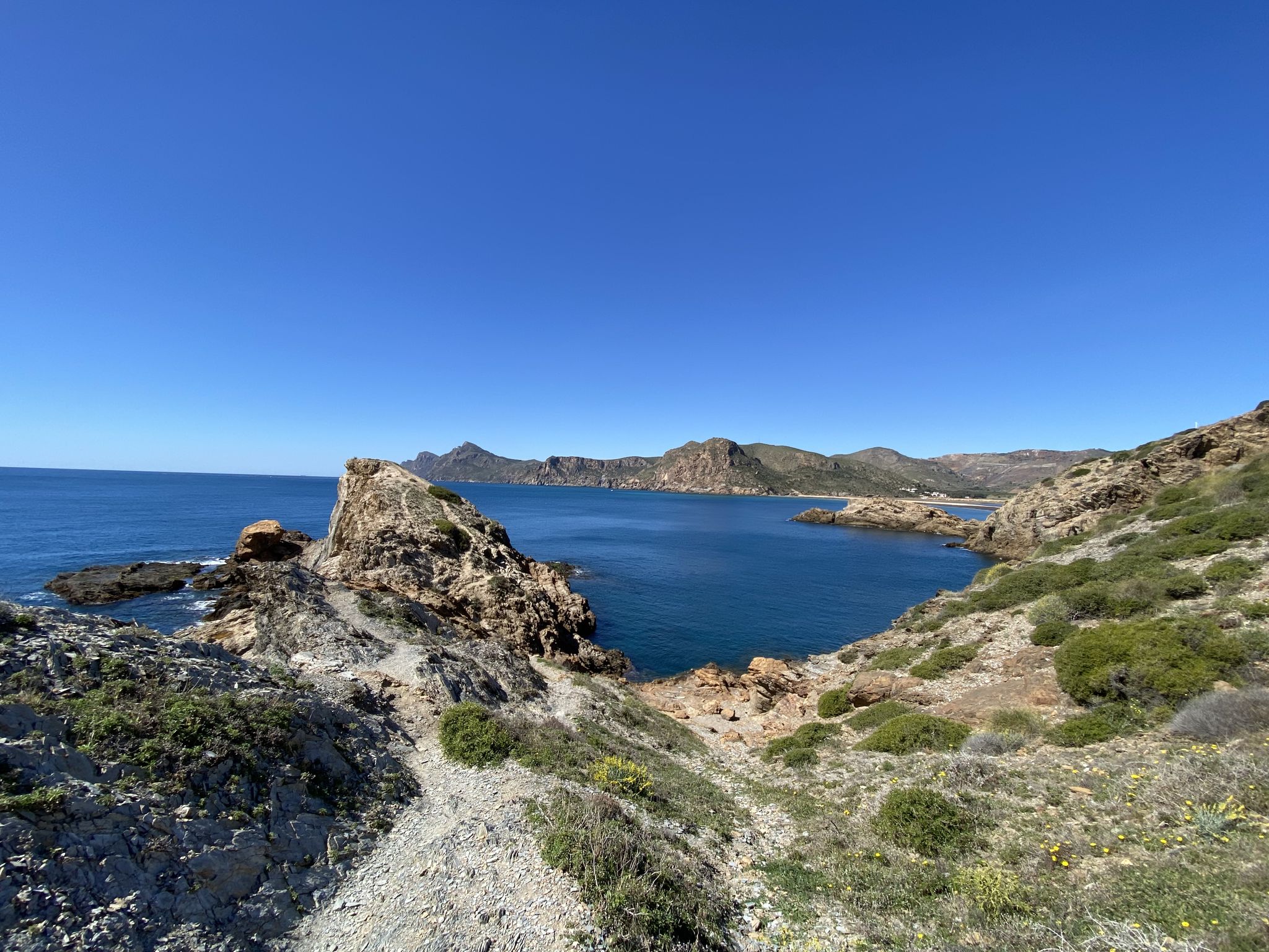
Walk among volcanoes and cliffs – Cape Palos and Calblanque
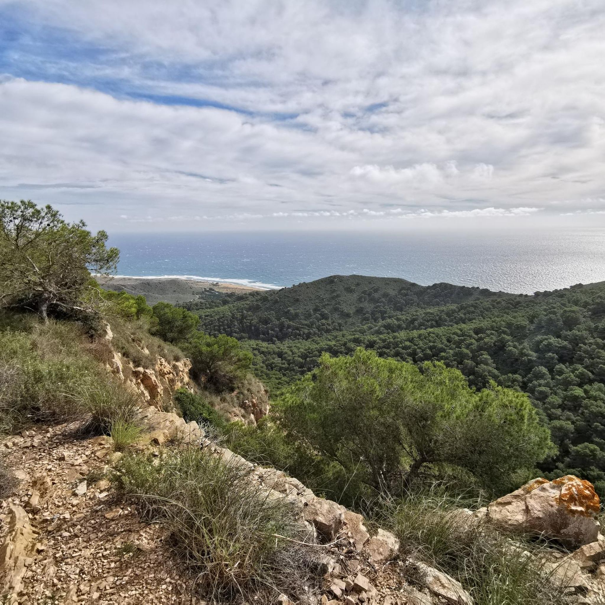
Cycling around National Park Calblanque, Monte de las Cenizas y Peña del Águila
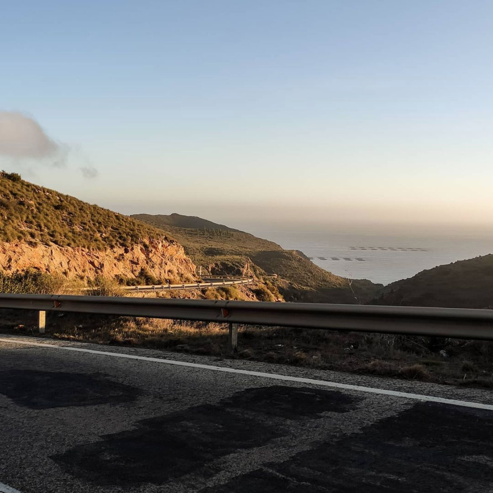
Road Cycling Routes around National Park Calblanque, Monte de las Cenizas y Peña del Águila
Running Trails around National Park Calblanque, Monte de las Cenizas y Peña del Águila
MTB Trails around National Park Calblanque, Monte de las Cenizas y Peña del Águila

Gravel biking around National Park Calblanque, Monte de las Cenizas y Peña del Águila
Other adventures around National Park Calblanque, Monte de las Cenizas y Peña del Águila


Tips from the Community

El Cabezo de la Fuente rises above the Calblanque regional park and offers wide views of the coastline and the Mediterranean Sea. Its surroundings combine Mediterranean scrubland, ancient crops, and coastal reliefs.
0
0

From its 320 m you have an incredible 365º view.
0
0

Park Calblanque is probably the best Natural Park to visit in Murcia. It is near to Cartagena, which in itself is worth a visit to enjoy the vibrant town and Roman history. Park Calblanque has stunning natural beaches. sand dunes and a wild coastline. Highly recommended.
0
0

Beautiful lost place, well preserved
0
0
From Cala Reona to Calblanque, a real treat. Enjoy the journey, my friend!
0
0
Esta playa te sorprenderá por su belleza. Cercana al aparcamiento de Cobaticas
1
0

There is an ancient spring here. The rain dissolves the dolomite rocks in the cliffs and creates cracks. The water trickles down and a geological spring is created. The surrounding inhabitants use water from the Fuente Grande (Great Spring). There is also a trough from which the mules used to drink.
0
0
The beach is about 1000 meters from a public car park. It is located in a small bay surrounded by rocks, which can be reached via an unpaved footpath through the grounds.
1
0
Frequently Asked Questions
How many hiking trails can I find in National Park Calblanque, Monte de las Cenizas y Peña del Águila?
The park offers over 60 hiking trails, catering to various skill levels. You'll find everything from easy coastal walks to more challenging ascents through the hills, ensuring a diverse outdoor experience.
What kind of terrain will I encounter while hiking in Calblanque National Park?
The park features highly diverse terrain, including over 13 km of varied coastline with rocky cliffs and sandy beaches, ancient fossil dunes, salt flats, and rugged hills like Monte de las Cenizas and Cabezo de la Fuente. You can expect a mix of sandy paths, rocky sections, and forest trails.
Are there any easy hiking trails suitable for beginners or families?
Yes, there are many easy trails perfect for beginners or families. For instance, the Punta Negra Viewpoint – Cala de los Déntoles loop from Cala Arturo is an easy 5.9 km path that provides access to secluded coves and coastal viewpoints. Another accessible option is the Viewpoint of Portman Bay – Cenizas Coastal Battery loop from Atamaria, which is 6.6 km and leads through coastal landscapes and historical sites.
What are some notable natural attractions or landmarks to see along the trails?
Hikers can explore a variety of natural and historical landmarks. You might discover the stunning Calblanque Beach, enjoy panoramic views from Mirador de Cenizas or Cabezo de la Fuente, and even encounter historical military installations like the La Chapa Battery and Portmán Lighthouse. The park itself, Calblanque, Monte de las Cenizas and Peña del Águila Regional Park, is a natural monument.
Can I find circular hiking routes in the park?
Yes, many trails in the park are circular, allowing you to start and end at the same point. A popular moderate circular route is the Cabezo de la Fuente Loop Trail, which is 12.1 km and offers panoramic views. For a more challenging option, consider the Monte de las Cenizas Loop Trail.
Is it possible to reach the hiking trails using public transport?
While the park is largely untouched by commercial development, public transport options directly into the heart of the hiking areas can be limited. It's advisable to check local bus schedules to nearby towns or access points, but a car is often recommended for convenient access to trailheads within the protected area.
Where can I park my car when visiting the hiking trails?
Designated parking areas are available at various entry points to the park and near popular trailheads. Due to the park's commitment to preservation, some areas might have limited parking, especially during peak seasons. It's recommended to arrive early or consult local information for specific parking locations.
What kind of wildlife can I expect to see while hiking?
The park is a sanctuary for diverse wildlife. You might spot migratory birds like flamingos and stilts in the salt flats, as well as foxes, badgers, and eagle owls. The rich flora includes dwarf palms, juniper, fig, and carob trees, with some species endemic to the Iberian Peninsula, making it excellent for nature observation.
What do other hikers enjoy most about hiking in National Park Calblanque, Monte de las Cenizas y Peña del Águila?
The area is highly rated by the komoot community, with an average score of 4.6 stars from over 470 reviews. Hikers often praise the diverse landscapes, from stunning coastal views and secluded beaches to rugged hills and unique geological formations. The untouched natural beauty and varied trail network are frequently highlighted.
Are there any challenging routes for experienced hikers?
Yes, the park offers several challenging routes. The Monte de las Cenizas Loop Trail, for example, is a difficult 12.7 km route with significant elevation gain, offering rewarding views from higher ground. These routes provide more strenuous ascents through the park's rugged inland hills.
Can I combine hiking with a visit to a beach or cove?
Absolutely! Many trails lead directly to or pass by pristine beaches and hidden coves. After a hike, you can relax at spots like Cala de los Déntoles, Cala Arturo, Cala del Barco, Cala Magre, Negrete Beach, or Las Cañas Beach, which are often only accessible on foot, offering a tranquil reward.
What is the best time of year to go hiking in Calblanque National Park?
The mild climate of the Murcia region makes hiking enjoyable for much of the year. Spring and autumn are particularly pleasant, with comfortable temperatures and vibrant flora. Summer can be hot, so early morning or late afternoon hikes are recommended, while winter offers cooler, crisp conditions perfect for longer walks.
Most popular routes around National Park Calblanque, Monte de las Cenizas y Peña del Águila
Most popular attractions around National Park Calblanque, Monte de las Cenizas y Peña del Águila

Get inspired with the komoot mobile app


Explore more
Browse the best Hikes in other regions.
