The best running trails around Reserva Natural Garganta de los Infiernos
5.0
(1)
228
runners
27
runs
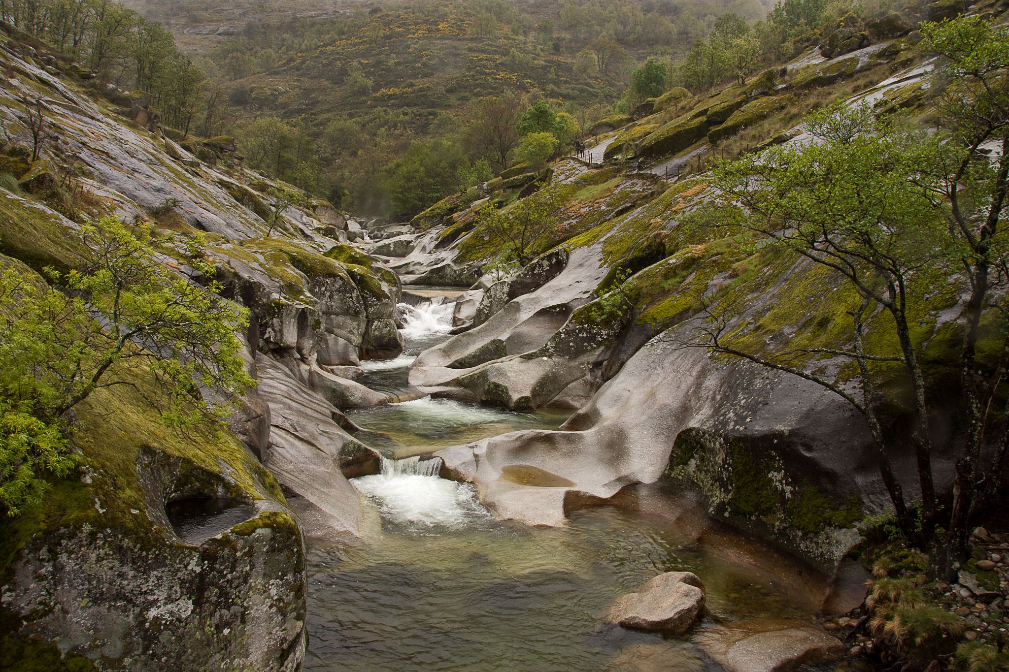
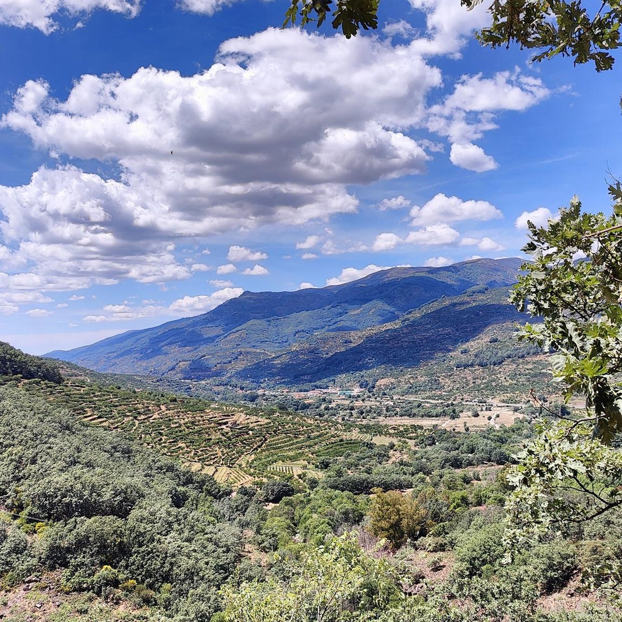
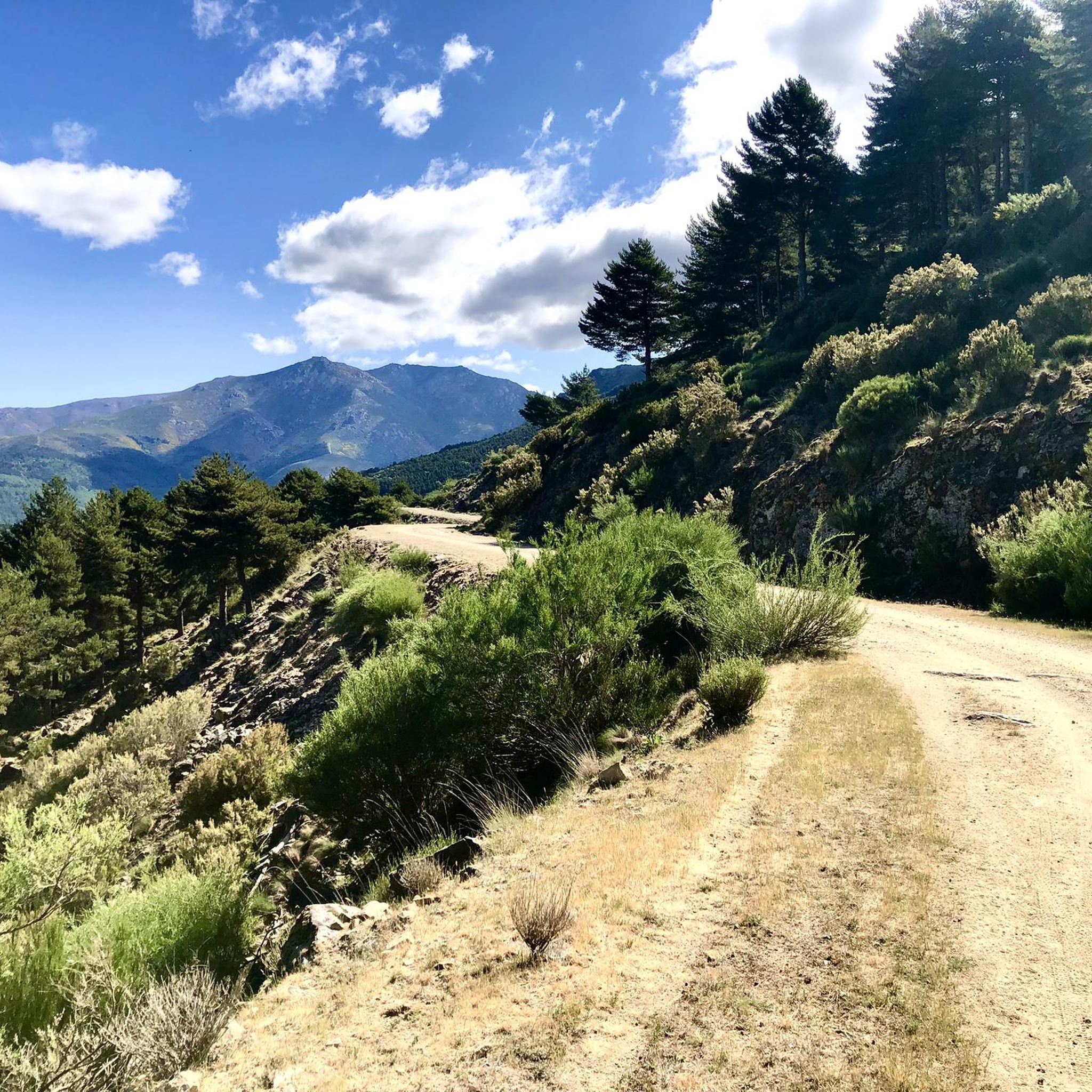
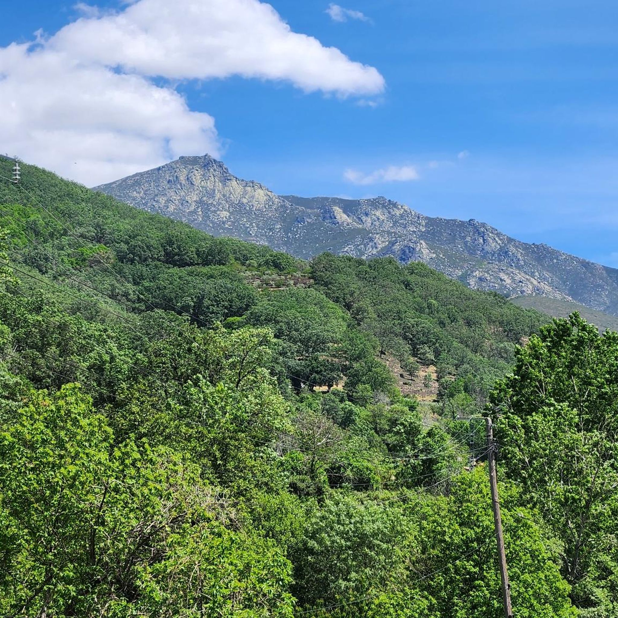
Jogging around Reserva Natural Garganta de los Infiernos offers diverse landscapes within the Jerte Valley, characterized by an extensive water network and significant altitude variations. The reserve features natural rock pools known as Los Pilones, numerous waterfalls, and varied ecosystems ranging from deciduous forests to high mountain scrublands. This region provides a mix of terrain, from riverside paths to more challenging mountainous sections, making it suitable for different running preferences.
Best jogging routes around Reserva Natural Garganta de los Infiernos
…Last updated: June 27, 2026
5.0
(1)
5
runners
Hard run. Very good fitness required. Mostly accessible paths. Some sure footedness required.
59
runners
23.1km
03:45
1,080m
1,080m
Hard run. Very good fitness required. Sure-footedness, sturdy shoes and alpine experience required.

Sign up for free
20
runners
Moderate run. Good fitness required. Mostly paved surfaces. Suitable for all skill levels.
6
runners
Moderate run. Good fitness required. Mostly paved surfaces. Suitable for all skill levels.
8.46km
01:14
400m
400m
Hard run. Very good fitness required. Sure-footedness, sturdy shoes and alpine experience required.
Get access to more routes and recommendations from other explorers.
Sign up for free
Already have an account?
Our route recommendations are based on thousands of hikes, rides, and runs completed by other people on komoot.
Start today with a free account
Your next adventure awaits.
Login or Signup
Popular around Reserva Natural Garganta de los Infiernos
Other adventures around Reserva Natural Garganta de los Infiernos

Tips from the Community

The Jerte River rises in the Gredos mountain range and flows through the impressive valley of the same name in northern Extremadura. Along its way, it feeds gorges, natural pools, and lush forests, becoming a true oasis, especially in spring, when cherry blossoms cover the landscape.
0
0

A waterfall reminiscent of a mantle. Very close to Los Pilones
0
0

Hidden natural freshwater pools where you can swim and sunbathe, with access via a route through rocky valleys. Of course, the water is very cool when you come down from the mountains.
6
0

I recommend bringing binoculars, otherwise the waterfall goes a little unnoticed
1
0

This is one of the best-known mountain passes in the Sierra de Gredos area and is also important as it separates the two most important basins in the Iberian Peninsula, the Duero and the Tagus.
0
0

This wooden bridge connects both banks of the Collado de las Yeguas gorge. It is a perfect area to cool off on hot days, as it has a pool of crystal clear water.
2
0
This beautiful stone bridge, which crosses over the Tres Cerros stream, is located in a spectacular setting. It is a much less crowded area than Los Pilones, and is part of the Carlos V hiking route. There are some pools of transparent water in which to relax your feet before continuing the march.
2
0
This beautiful viewpoint has a small booth, benches and various information panels. Although in the rainy season it is easier to see, on clear days you can see the Manto de la Virgen waterfall in the distance. It is located less than a kilometer from Los Pilones.
2
0
Frequently Asked Questions
How many running routes are available in Reserva Natural Garganta de los Infiernos?
There are 26 diverse running routes documented in Reserva Natural Garganta de los Infiernos. These range from moderate to difficult, offering options for various experience levels.
What is the typical difficulty level of running routes in Reserva Natural Garganta de los Infiernos?
The running routes in this region are primarily categorized as moderate or difficult. You'll find 10 moderate routes and 16 difficult routes, often featuring substantial elevation changes due to the varied terrain, which ranges from 300 to 2,290 meters in altitude.
What natural features or landmarks can I expect to see while running in the reserve?
The reserve is renowned for its stunning natural features. You can expect to encounter the famous Los Pilones, with its unique 'giant's kettles' natural pools (Los Pilones Natural Pools), and the extensive Jerte River (Jerte River) network, featuring numerous waterfalls and cascades. The spectacular Chorrero de la Virgen Viewpoint (Chorrero de la Virgen Viewpoint) is another highlight. You might also cross historical structures like the Carlos V Bridge.
Are there any circular running routes in Reserva Natural Garganta de los Infiernos?
Yes, several routes are circular, allowing you to start and finish at the same point. A popular option is the Route of the Pilones – running circular from Jerte through the Garganta de los Infiernos, which is 10.2 km long and explores the iconic Los Pilones area. Another is the Jerte River – View of Los Pilones loop from Parking gratuito "El Gorrilla", a moderate 5.3 km trail.
What is the best time of year for running in Reserva Natural Garganta de los Infiernos?
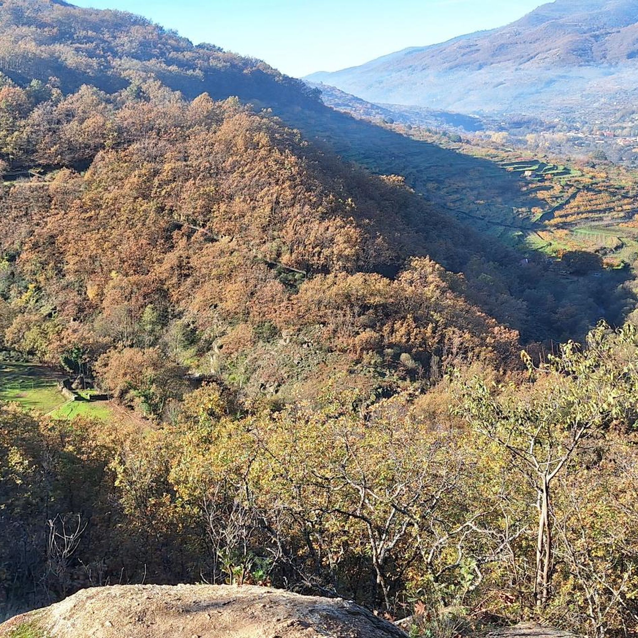
The best time depends on your preference. Spring is vibrant with the cherry blossoms of the Jerte Valley. Summer offers the chance for a refreshing swim in the natural pools of Los Pilones after your run. Autumn transforms the forests with stunning ochre and red foliage, ideal for longer routes. Always be prepared for varying conditions due to the significant altitude changes.
Are there designated parking areas for accessing the running trails?
Yes, there are parking options available. For example, routes like the Los Pilones – Puente Nuevo loop and the Jerte River – View of Los Pilones loop start from 'Parking gratuito "El Gorrilla"', indicating convenient access points for runners.
Are there any easier or moderate running routes suitable for beginners or families?
While many routes are difficult, there are moderate options available. The Jerte River – View of Los Pilones loop from Parking gratuito "El Gorrilla" is a moderate 5.3 km trail, and the Jerte River – Camping Valle del Jerte loop from Parking gratuito "El Gorrilla" is a moderate 9.3 km route. These offer less strenuous options while still enjoying the natural beauty.
What should I bring for a run in Reserva Natural Garganta de los Infiernos?
Given the varied terrain and lack of guaranteed drinking water points along main routes, it's advisable to carry your own water. Appropriate running gear for mountainous terrain, sun protection, and possibly a light jacket for higher altitudes are also recommended.
Can I spot wildlife while running in the reserve?
Yes, the diverse ecosystems of Garganta de los Infiernos support a wide array of wildlife. Keep an eye out for otters in the rivers, golden eagles soaring above, wildcats, trout, and deer. The ecological richness provides excellent opportunities for nature observation during your run.
Are dogs allowed on the running trails in Reserva Natural Garganta de los Infiernos?
While the region is a natural reserve, specific regulations regarding dogs on trails can vary. It's generally recommended to keep dogs on a leash to protect local wildlife and ensure a pleasant experience for all visitors. Always check local signage for any specific restrictions.
What do other runners enjoy most about jogging in Reserva Natural Garganta de los Infiernos?
The running routes in Reserva Natural Garganta de los Infiernos are highly rated by the komoot community, with an average score of 5.0 stars. Runners often praise the stunning natural beauty, particularly the unique Los Pilones area, the refreshing water features, and the diverse landscapes that make each run a unique experience.
Are there any long-distance running options for experienced runners?
Absolutely. For experienced runners seeking a challenge, the Los Pilones – Puente Nuevo loop from Parking gratuito "El Gorrilla" is a difficult 23.6 km path with substantial elevation gain. The region's extensive network also includes routes that delve into the mountainous terrain of the Sierra de Gredos foothills, offering rewarding long-distance experiences.
Most popular routes around Reserva Natural Garganta de los Infiernos
Most popular attractions around Reserva Natural Garganta de los Infiernos

Get inspired with the komoot mobile app


Explore more
Browse the best Running Trails & Routes in other regions.
