The best road cycling routes around Reserva Natural Garganta de los Infiernos
3.5
(3)
489
riders
24
rides
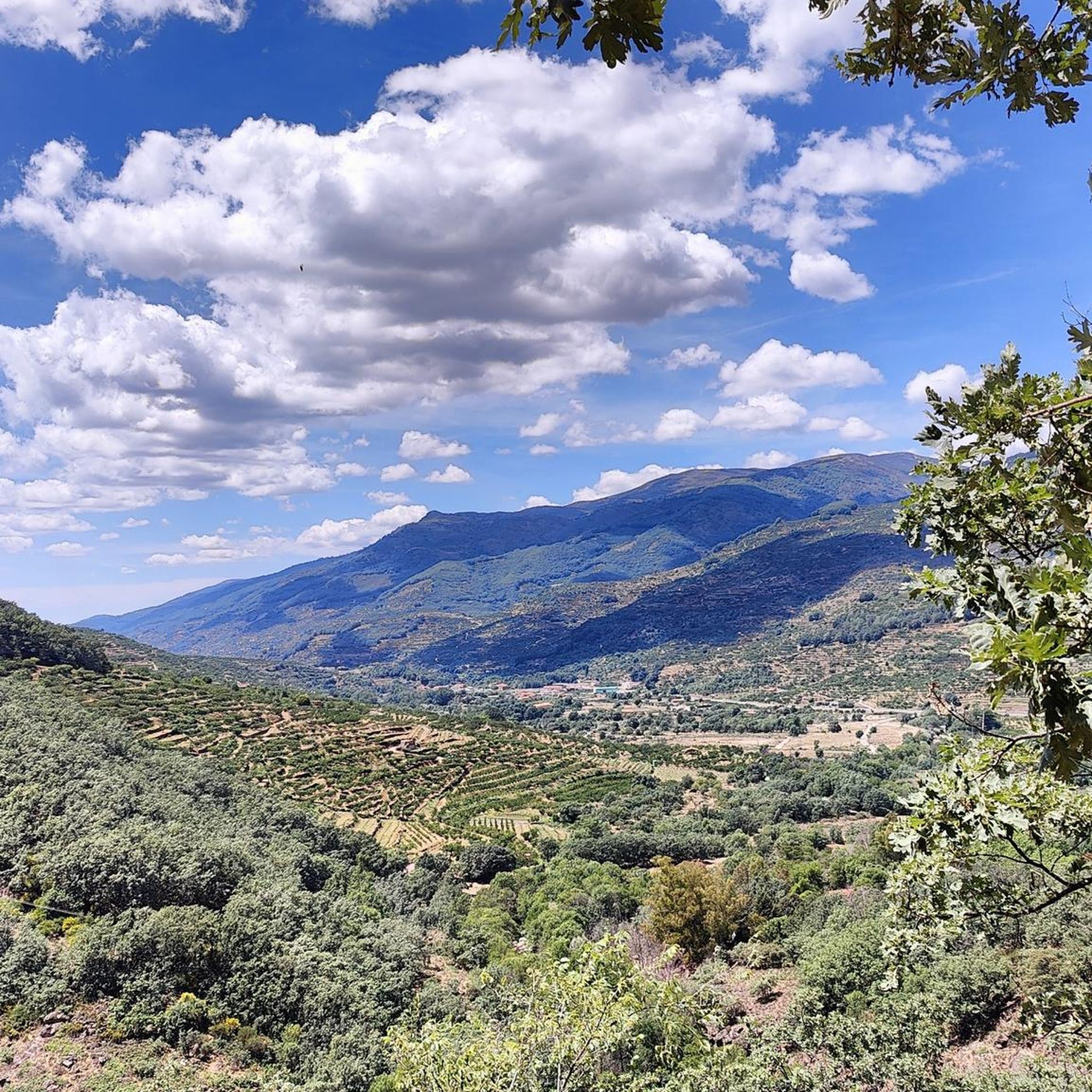
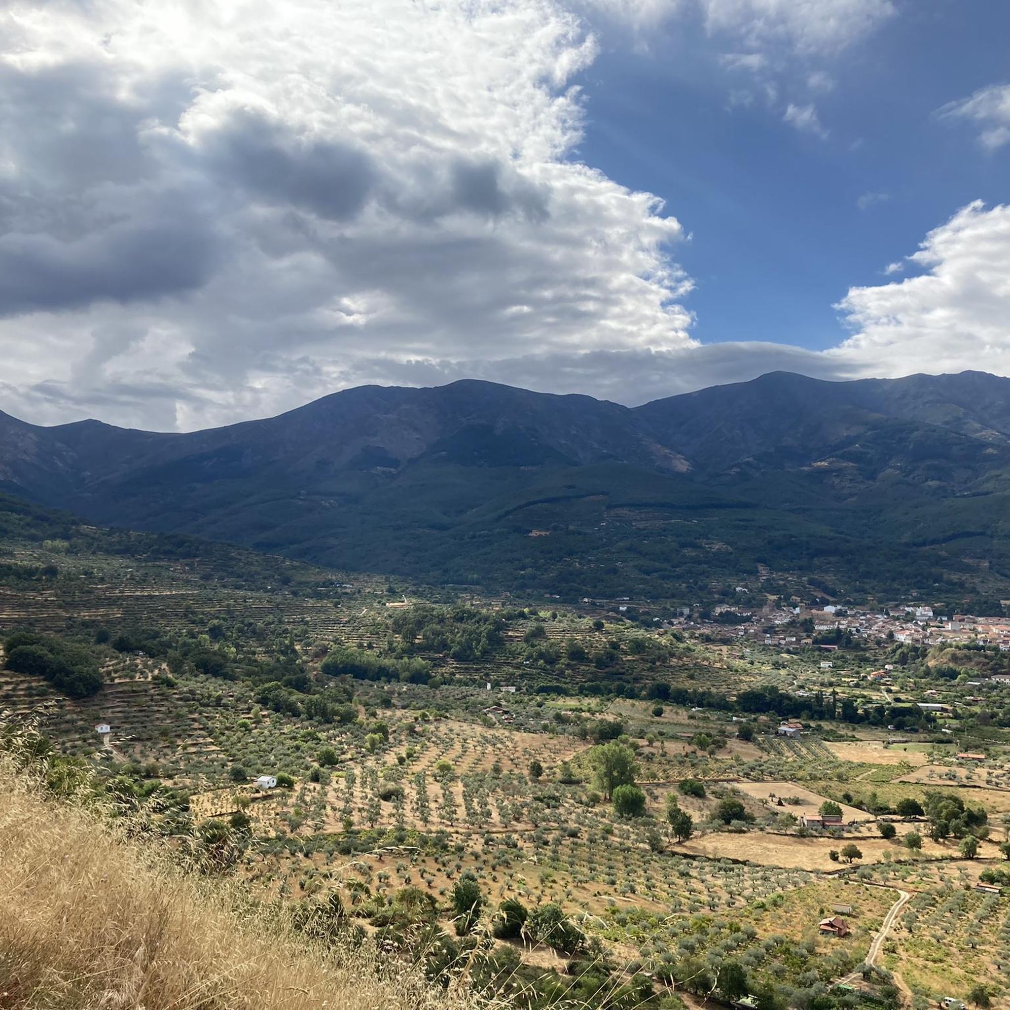
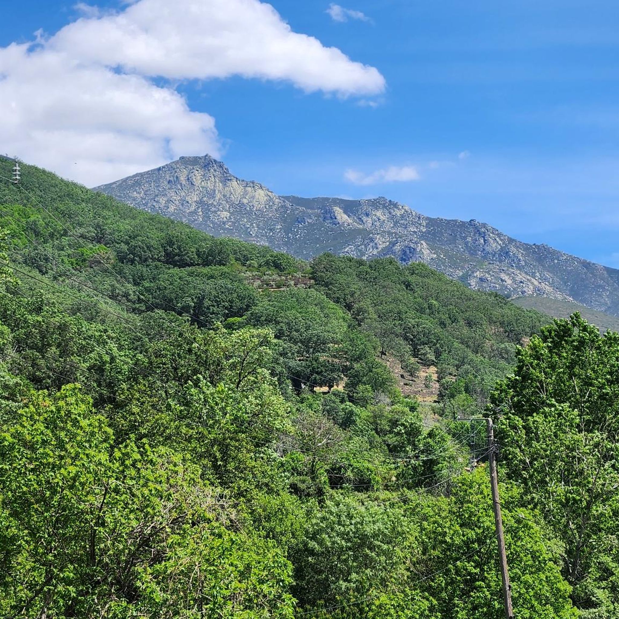
Road cycling routes around Reserva Natural Garganta de los Infiernos traverse a landscape defined by the Jerte River, high mountain ecosystems, and water-sculpted terrain. The region features significant altitude variations, ranging from 300 meters to nearly 2,300 meters, offering diverse challenges for road cyclists. River erosion has created striking features like cascades and natural pools, while the surrounding areas include deciduous forests and, seasonally, cherry orchards. These routes provide views of the Sierra de Tormantos and Sierra de Gredos, with…
Last updated: July 10, 2026
25
riders
91.7km
05:41
2,490m
2,490m
Hard road ride. Very good fitness required. Some segments of this route may be unpaved and difficult to ride.
15
riders
45.7km
02:38
890m
890m
Moderate road ride. Good fitness required. Some segments of this route may be unpaved and difficult to ride.

Sign up for free
6
riders
81.5km
04:29
1,620m
1,620m
Hard road ride. Very good fitness required. Some segments of this route may be unpaved and difficult to ride.
4
riders
Moderate road ride. Good fitness required. Mostly well-paved surfaces and easy to ride.
9
riders
39.9km
02:03
620m
620m
Moderate road ride. Good fitness required. Mostly well-paved surfaces and easy to ride.
Get access to more routes and recommendations from other explorers.
Sign up for free
Already have an account?
Our route recommendations are based on thousands of hikes, rides, and runs completed by other people on komoot.
Start today with a free account
Your next adventure awaits.
Login or Signup
Popular around Reserva Natural Garganta de los Infiernos
Other adventures around Reserva Natural Garganta de los Infiernos

Tips from the Community

The Old Bridge of El Barco de Ávila, also known as the Medieval Bridge, is one of the most representative symbols of this town in Ávila. It crosses the Tormes River and connects the historic center with the old communication route to Castile and León. Although its current structure is medieval (12th–13th centuries), it is believed to have been built on Roman foundations.
1
0
The Old Bridge of El Barco de Ávila, also known as the Medieval Bridge, is one of the most representative symbols of this town in Ávila. It crosses the Tormes River and connects the historic center with the old communication route to Castile and León. Although its current structure is medieval (12th–13th centuries), it is believed to have been built on Roman foundations.
2
0

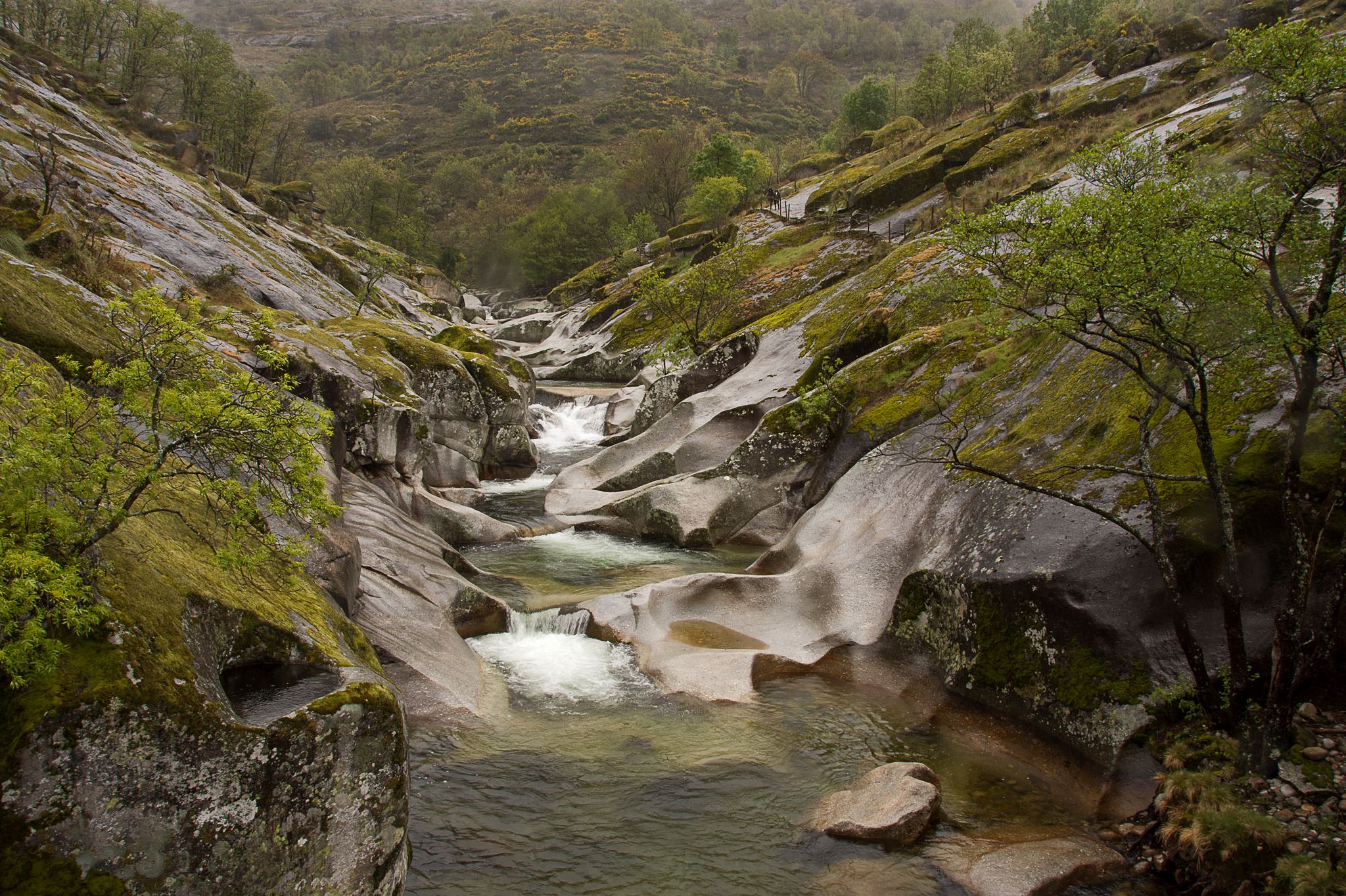
The Jerte River rises in the Gredos mountain range and flows through the impressive valley of the same name in northern Extremadura. Along its way, it feeds gorges, natural pools, and lush forests, becoming a true oasis, especially in spring, when cherry blossoms cover the landscape.
0
0

17 kilometers of mountain pass (on both sides, Ambroz Valley from Hervás or Jerte Valley from Cabezuela del Valle). From Cabezuela del Valle, the first 12 kilometers average an average gradient of 7%, with some 10% gradients, and from the 12th kilometer onward, there are some rest stops with wonderful views. This side has a gradient of approximately 900 meters, up to 1,430 meters.
0
0

Located in the north of the province of Cáceres, the port of Honduras provides spectacular views of the two large valleys it connects: the Ambroz valley and the Jerte valley. From both Gargantilla and Cabezuela del Valle, hikers can avoid the road and crown this pass along trails and dirt tracks that are part of the GR 10.
0
0

Beautiful port between the Ambroz Valley and the Jerte Valley with a constant slope of about 6%
0
0

At this point on the road, the combination of vegetation, tranquility due to the lack of traffic and the views captivate us with the charm of the Sierra de Gredos.
0
0

It is a charming town, which still preserves the traditional architecture of the valley. It is worth walking through its narrow streets and contemplating the wooden balconies and original stone constructions.
0
0
Frequently Asked Questions
What kind of terrain can I expect on road cycling routes in Reserva Natural Garganta de los Infiernos?
Road cycling routes in Reserva Natural Garganta de los Infiernos feature diverse terrain, ranging from river valleys to high mountain passes. You'll encounter significant altitude variations, with roads winding through lush forests and ascending towards the Sierra de Tormantos and Sierra de Gredos. The landscape is notably water-sculpted, offering scenic views of cascades and natural pools.
Are there road cycling routes suitable for beginners or families?
While many routes in the area involve significant elevation, there are options for varying ability levels. For a moderate ride that follows the Jerte River, consider the Jerte River – Navaconcejo loop from Tornavacas. This 28.4-mile (45.7 km) path offers scenic views of the valley and is less demanding than the mountain ascents.
What are some challenging road cycling routes for experienced cyclists?
Experienced cyclists seeking a challenge will find several difficult routes with substantial elevation gain. The Puerto de Honduras – Honduras Pass loop from Puerto de Tornavacas is a popular choice, covering 57.0 miles (91.7 km) with significant climbing. Another demanding option is the Jerte River – Puerto de Honduras loop from Parking gratuito "El Gorrilla", which leads through river valleys and ascends mountain passes over 55.5 miles (89.3 km).
What natural attractions can I see along the road cycling routes?
The region is rich in natural beauty. You can encounter stunning water-sculpted features like the famous Los Pilones Natural Pools, known for their 'giant's kettles' carved by the river. The Jerte River itself is a constant companion on many routes, and you might spot the spectacular Chorrero de la Virgen Viewpoint, offering views of its impressive waterfall.
Are there any historical landmarks to discover while cycling?
Yes, the area holds historical significance. You might encounter the Carlos V Bridge (also known as Puente Nuevo or Puente de Carlos V), a medieval stone bridge that Emperor Charles V crossed in 1556. This adds a cultural dimension to your ride through the picturesque scenery.
Can I find viewpoints with scenic vistas on these routes?
Absolutely. Given the region's high mountain ecosystems and varied topography, many routes offer breathtaking viewpoints. The Navaconcejo – Viewpoint of Memory loop from Cabezuela del Valle specifically highlights a viewpoint, and mountain passes like Collado de las Losas provide expansive panoramas of the surrounding valleys and mountains.
Are there opportunities for wild swimming near the cycling routes?
Yes, the Reserva Natural Garganta de los Infiernos is famous for its abundant water features. The 'giant's kettles' at Los Pilones Natural Pools are a popular spot for a refreshing dip, especially during warmer months. Many brooks, streams, and natural pools are formed by the Jerte River's erosion, offering various places to cool off.
Is public transport available for cyclists with bikes in the Jerte Valley?
Public transport options for cyclists with bikes can be limited. While intercity buses operate in Extremadura and the Jerte Valley, it's advisable to check directly with specific bus companies like CEVESA regarding their policy on transporting bicycles, as space for bikes may not always be guaranteed or might require prior booking.
What is the best time of year for road cycling in Reserva Natural Garganta de los Infiernos?
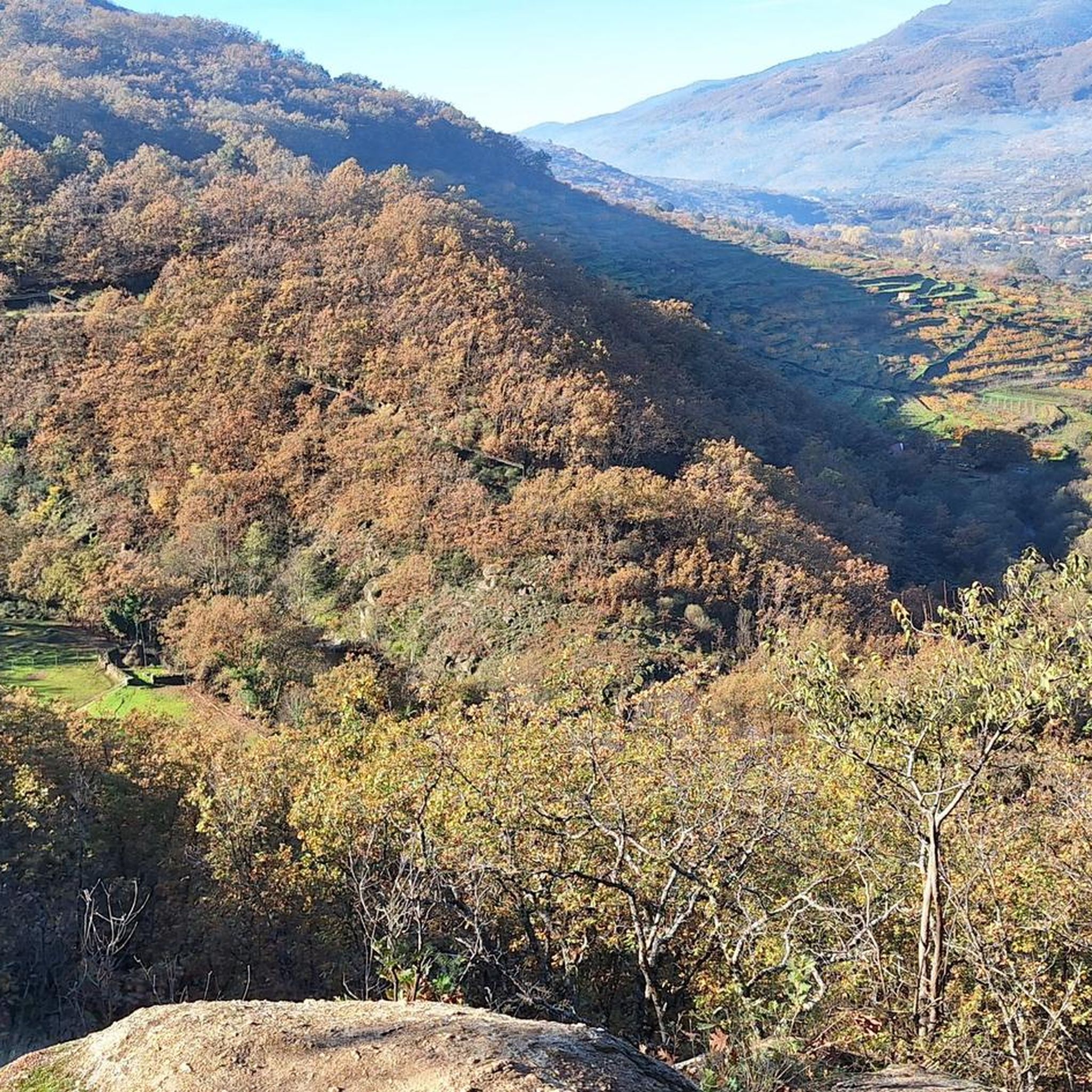
The spring and autumn months are generally ideal for road cycling. Spring offers the spectacular cherry blossom season in the Jerte Valley, creating a beautiful backdrop for rides. Autumn provides pleasant temperatures and vibrant fall foliage. Summers can be hot, especially in the valleys, while winters can bring colder temperatures and potentially snow at higher altitudes.
Are dogs allowed on road cycling routes in the reserve?
While the natural reserve is a great place for outdoor activities, specific regulations regarding dogs on cycling routes can vary. It's generally recommended to keep dogs on a leash to protect wildlife and ensure the safety of other users. Always check local signage or official park guidelines for the most current rules regarding pets in specific areas.
How many road cycling routes are available in the area?
There are over 25 road cycling routes available around Reserva Natural Garganta de los Infiernos on komoot, offering a wide range of options for different skill levels and preferences. This includes 1 easy route, 9 moderate routes, and 17 difficult routes, ensuring there's something for everyone.
What do other cyclists say about road cycling in Reserva Natural Garganta de los Infiernos?
The road cycling routes in Reserva Natural Garganta de los Infiernos are highly rated by the komoot community, with an average score of 4.0 stars. Cyclists often praise the challenging mountain ascents, the stunning views of the water-sculpted landscapes, and the diverse terrain that makes each ride unique. Over 500 road cyclists have used komoot to explore this varied region.
Where can I find parking for road cycling routes?
Parking is generally available in the towns and villages surrounding the Reserva Natural Garganta de los Infiernos, which serve as common starting points for many routes. For example, the Jerte River – Puerto de Honduras loop mentions starting from 'Parking gratuito "El Gorrilla"', indicating dedicated parking areas exist. Always look for designated parking spots in or near the starting points of your chosen route.
Most popular routes around Reserva Natural Garganta de los Infiernos
Most popular attractions around Reserva Natural Garganta de los Infiernos

Get inspired with the komoot mobile app


Explore more
Browse the best Road cycling routes in other regions.
