The best walks and hikes around Pozanco
5
hikers
11
hikes
Hiking around Pozanco offers routes through the flat to gently rolling terrain of the Ávila province, characterized by agricultural landscapes and water features. The area includes reservoirs, rivers like the Adaja, and lagoons, providing varied scenery for outdoor activities. Trails often connect natural areas with historical sites, such as the Castro de las Cogotas. The region's low elevation changes make it accessible for various hiking abilities.
Best hiking trails around Pozanco
- The most popular hiking route is La Presa del…
Last updated: July 1, 2026
5.29km
01:32
130m
130m
Easy hike. Great for any fitness level. Easily-accessible paths. Suitable for all skill levels.
1
hikers
5.76km
01:36
110m
110m
Explore the easy 3.6-mile Route of the Mills from Mingorría, a hike along the Adaja River past historic flour mills and granite formations.

Sign up for free
4
hikers
11.9km
03:15
190m
190m
Hike a moderate 7.4-mile (11.9 km) circular route from Cardeñosa to the historic Castro de Las Cogotas with reservoir views.
16.2km
04:25
240m
240m
Moderate hike. Good fitness required. Mostly accessible paths. Sure-footedness required.
8.98km
02:17
30m
30m
Hike the 5.6-mile Lagunas de La Moraña circular trail from El Oso, a moderate route through wetlands perfect for birdwatching.
Get access to more routes and recommendations from other explorers.
Sign up for free
Already have an account?
Our route recommendations are based on thousands of hikes, rides, and runs completed by other people on komoot.
Start today with a free account
Your next adventure awaits.
Login or Signup
Popular around Pozanco
Tips from the Community

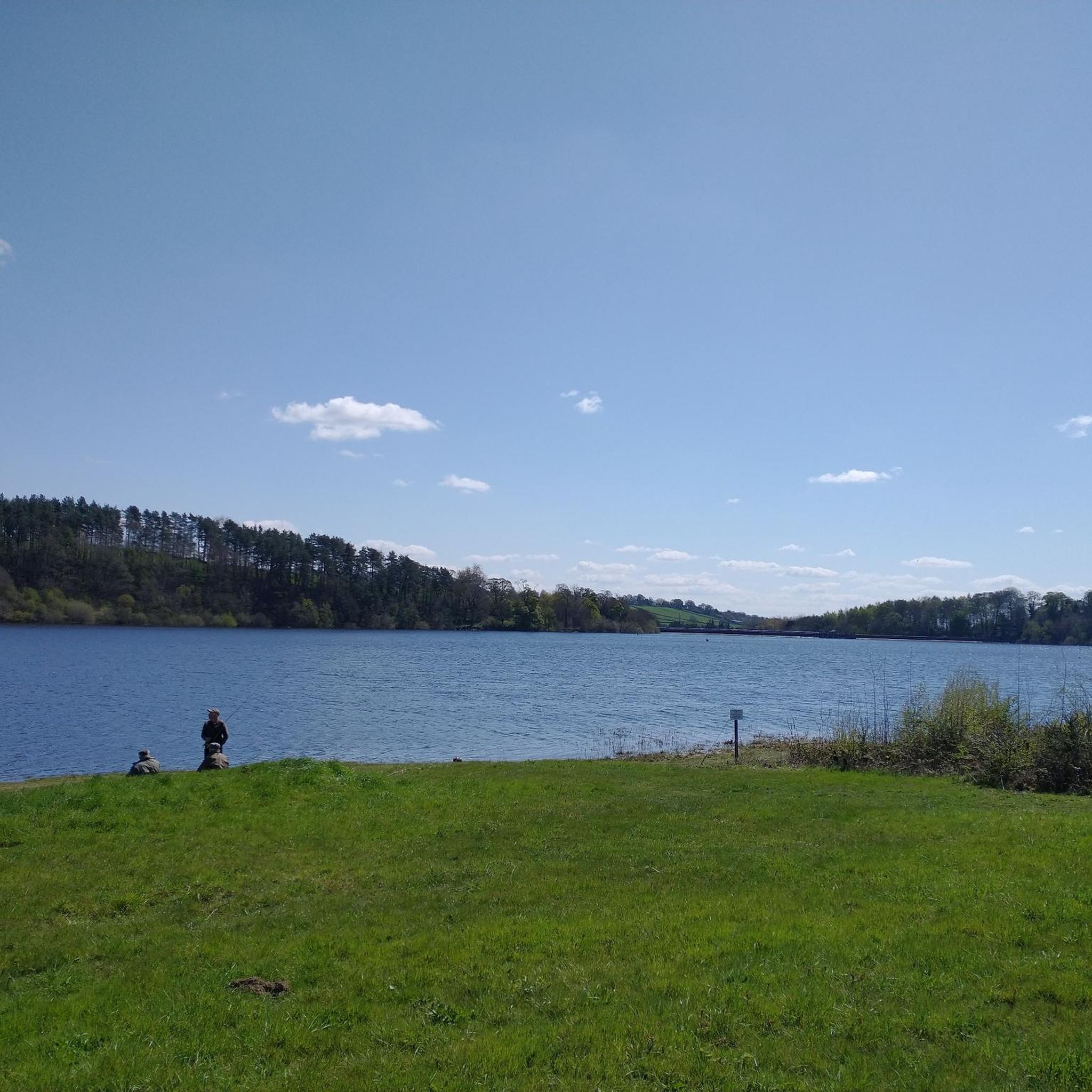
The Castro de las Cogotas reservoir dam, located in the province of Ávila, offers spectacular views that combine engineering, nature, and archaeology.
1
0
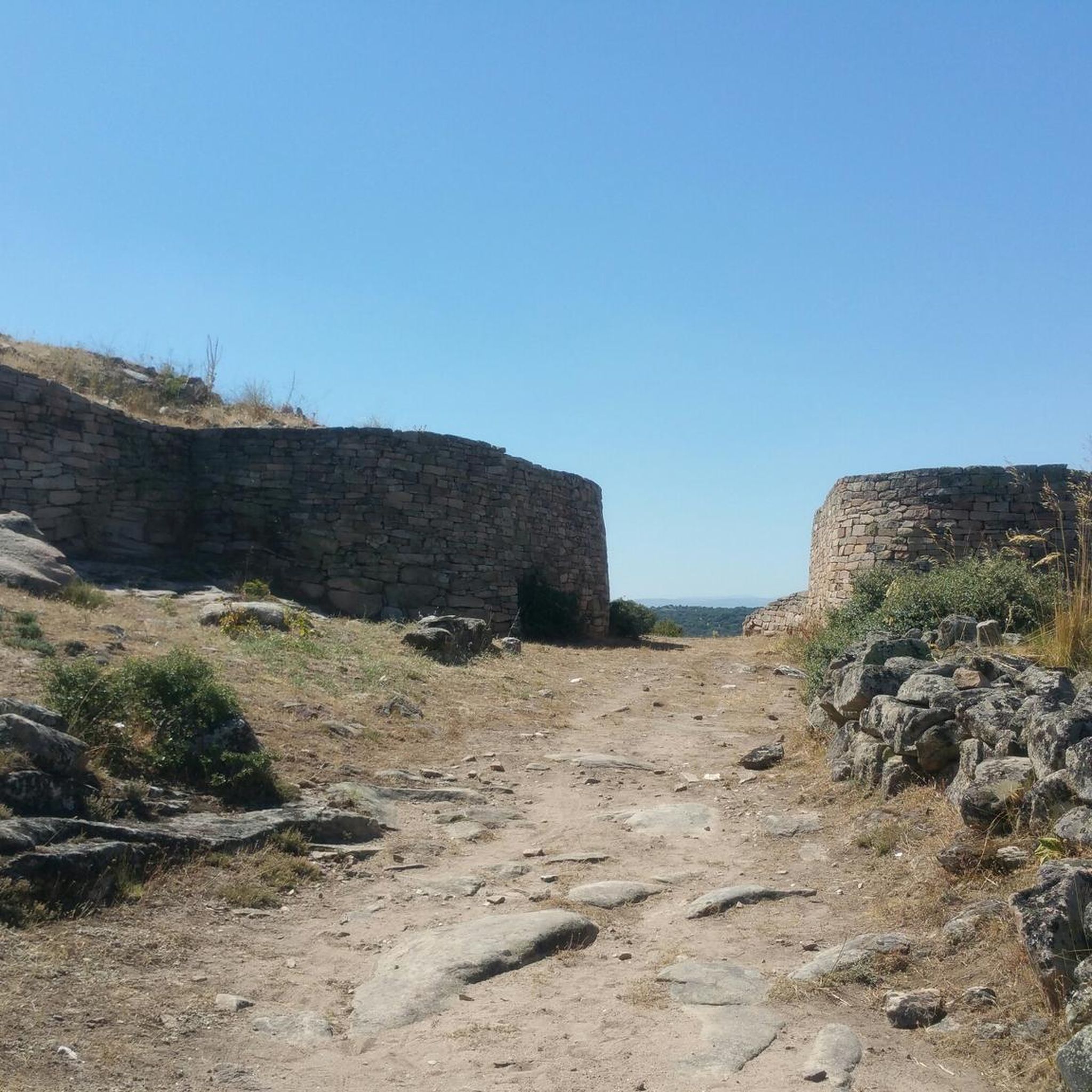
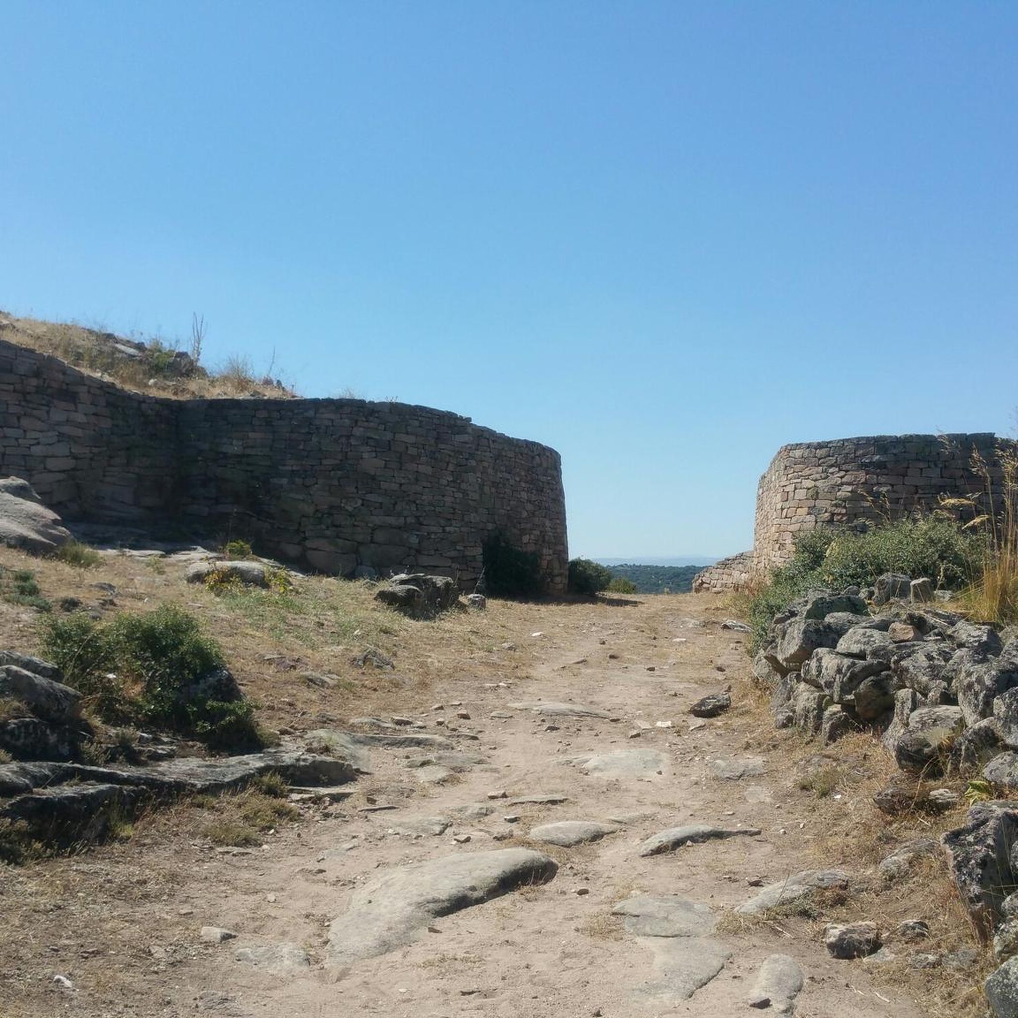
The Castro de Las Cogotas, located in the municipality of Cardeñosa (Ávila), is one of the most emblematic Iron Age archaeological sites on the Iberian Peninsula, especially linked to the Vetton people. It is situated on a hill next to the Adaja River, surrounded by holm oak groves, pastures, and fertile land. This location offered defensive advantages and abundant natural resources. The fort is open to the public and has an Interpretation Center that explains its history and characteristics. Periodic archaeological conferences are also held on the site.
2
0
Opened in 2017, the center offers a variety of educational and recreational activities, including guided tours, real-time bird watching via video cameras, and exhibits on local fauna and flora. The center also features dioramas, a screening room, and an observation deck, providing an immersive experience for visitors.
4
0
The museum allows visitors to explore the cultural and natural heritage of El Oso while enjoying a walk in the open air. It is a great way to learn more about the history and traditions of this small municipality in Ávila. 🌄😎🚶♂️
3
0
The Church of San Pedro Apóstol in El Oso, Ávila, is a parish church dating back to the 16th century. It stands out for its stone architecture, with three naves separated by large semicircular arches and a 17th-century Baroque main altarpiece. ⛪😎 In front of the church, there is the Stone Bear, also known as Verraco Vettón. This stone sculpture is part of the town's Open Air Museum and has great historical and cultural importance.🐻
4
0
The place name Mingorría retains Basque reminiscences, deriving from “mendi gorria,” which means “red mountain” or “red land.” This is observed in other cases in the province of Ávila, such as the town of Mendigorría in Navarra. In historical documents, Mingorría already appears as Ningorría, and it is believed that there was an assimilation due to the change of the liquid initials “M” to “N.” Another legend attributes the name of Mingorría to the notice that José Chinchurreta gave to monarch Felipe II, justifying the delay in the supply of granite during the works of the Monastery of El Escorial.
4
0

The Castro de las Cogotas reservoir dam, which retains the waters of the Adaja River, is an impressive structure. You can walk down to the river at the foot of the dam for a spectacular view of this powerful dam.
0
1
Along the way you reach the ruins of a medieval settlement, with building stones scattered on the ground of which only the main arch of a church remains standing.
2
0
Frequently Asked Questions
What types of hiking trails are available around Pozanco?
Pozanco offers a variety of hiking trails, primarily characterized by flat to gently rolling terrain. You'll find paths through agricultural landscapes, alongside reservoirs, and along rivers like the Adaja. The area features 10 routes, with 3 considered easy and 7 moderate, making it accessible for various hiking abilities.
Are there any easy hiking routes suitable for beginners or families in Pozanco?
Yes, Pozanco has several easy routes. For instance, the La Presa del Embalse to Castro de las Cogotas — circular trail is an easy 3.3-mile (5.3 km) path that takes about 1 hour 31 minutes to complete, offering views of the reservoir and leading to an ancient archaeological site. Another easy option is the Río Adaja y Molino Ituero — ida y vuelta desde Mingorría, a 3.6-mile (5.8 km) trail along the riverside.
Are there any circular hiking routes in the Pozanco area?
Yes, several circular routes are available. A popular choice is the Castro de Las Cogotas from Cardeñosa — circular by the Embalse de las Cogotas, a moderate 7.4-mile (11.9 km) path offering extensive views of the Embalse de las Cogotas. Another option is the Yacimiento de las Cogotas — circular desde Cardeñosa, a longer moderate route at 10.1 miles (16.2 km).
What natural features or landmarks can I see while hiking near Pozanco?
Hikes around Pozanco often feature views of reservoirs, rivers like the Adaja, and lagoons. A significant landmark is the ancient archaeological site of Castro de Las Cogotas, an Iron Age settlement that many routes incorporate. You might also encounter charming settlements like Cardeñosa or Mingorría, and historical structures such as the Church of San Pedro Apóstol and the Verraco Vettón (Stone Bear).
What is the best time of year to go hiking in Pozanco?
Given the region's generally low elevation changes and agricultural landscape, hiking in Pozanco is pleasant for much of the year. Spring and autumn offer mild temperatures, ideal for exploring. Summers can be warm, so early morning or late afternoon hikes are recommended. Winter hiking is also possible, though conditions may vary.
Are there any hikes that feature water bodies like rivers or lakes?
Yes, the Pozanco area is characterized by its water features. The Río Adaja y Molino Ituero — ida y vuelta desde Mingorría trail follows the Adaja river. Many routes also offer views of the Embalse de las Cogotas reservoir, such as the La Presa del Embalse to Castro de las Cogotas — circular. Additionally, the Lagunas de La Moraña — circular desde El Oso route explores the lagoons of La Moraña.
What is the typical duration of hikes around Pozanco?
Hikes around Pozanco vary in duration. Shorter, easy routes like La Presa del Embalse to Castro de las Cogotas — circular can be completed in about 1 hour 30 minutes. Moderate trails, such as Castro de Las Cogotas from Cardeñosa — circular by the Embalse de las Cogotas, typically take around 3 hours 15 minutes. Longer moderate routes can extend to over 4 hours.
Are there any specific viewpoints or scenic spots along the trails?
While specific named viewpoints are not highlighted, the trails often provide extensive views over the agricultural plains, the Embalse de las Cogotas reservoir, and the Adaja river valley. The historical site of Castro de Las Cogotas itself offers panoramic vistas of the surrounding landscape.
Is Pozanco a good area for wildlife spotting during hikes?
The agricultural landscapes, riverbanks, and lagoons around Pozanco provide habitats for various local wildlife. While not a dedicated wildlife reserve, hikers might spot common birds, small mammals, and aquatic life, especially near the water features like the Adaja River and the Embalse de las Cogotas.
Are there any amenities like cafes or restaurants near the hiking paths in Pozanco?
Pozanco is a small municipality, and specific amenities directly on hiking paths might be limited. However, nearby settlements such as Cardeñosa, Mingorría, or Vega de Santa Maria, which are often starting points or pass-throughs for routes, may offer local cafes or small shops for refreshments.
What is the elevation gain like on hikes in Pozanco?
The hikes around Pozanco are generally characterized by low elevation changes, making them quite accessible. Even moderate routes typically have elevation gains under 250 meters (820 feet), ensuring a less strenuous experience compared to mountainous regions.
Most popular attractions around Pozanco

Get inspired with the komoot mobile app


Explore more
Browse the best Hikes in other regions.
