The best walks and hikes around Dehesas De Guadix
4.7
(120)
531
hikers
22
hikes
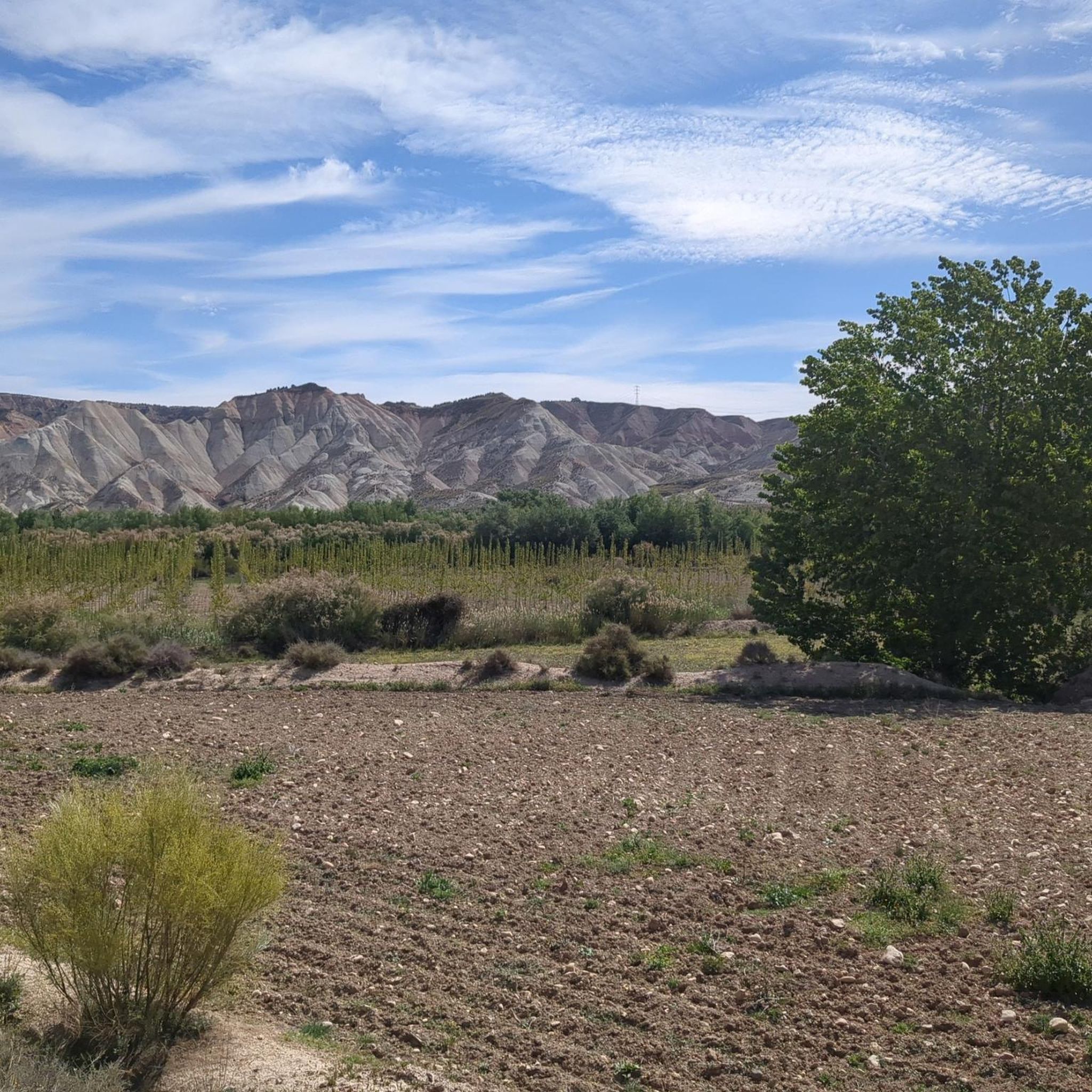
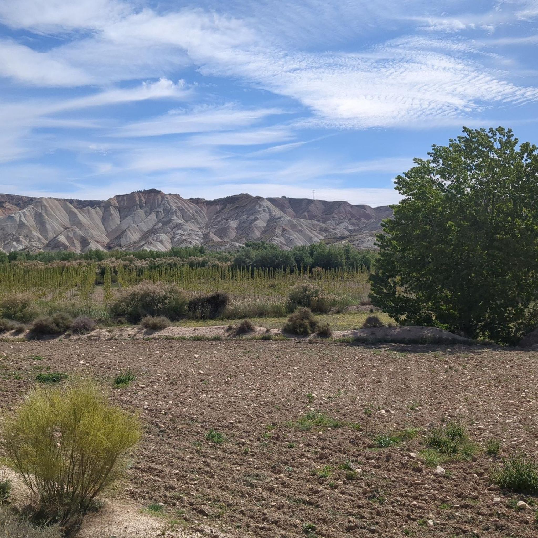
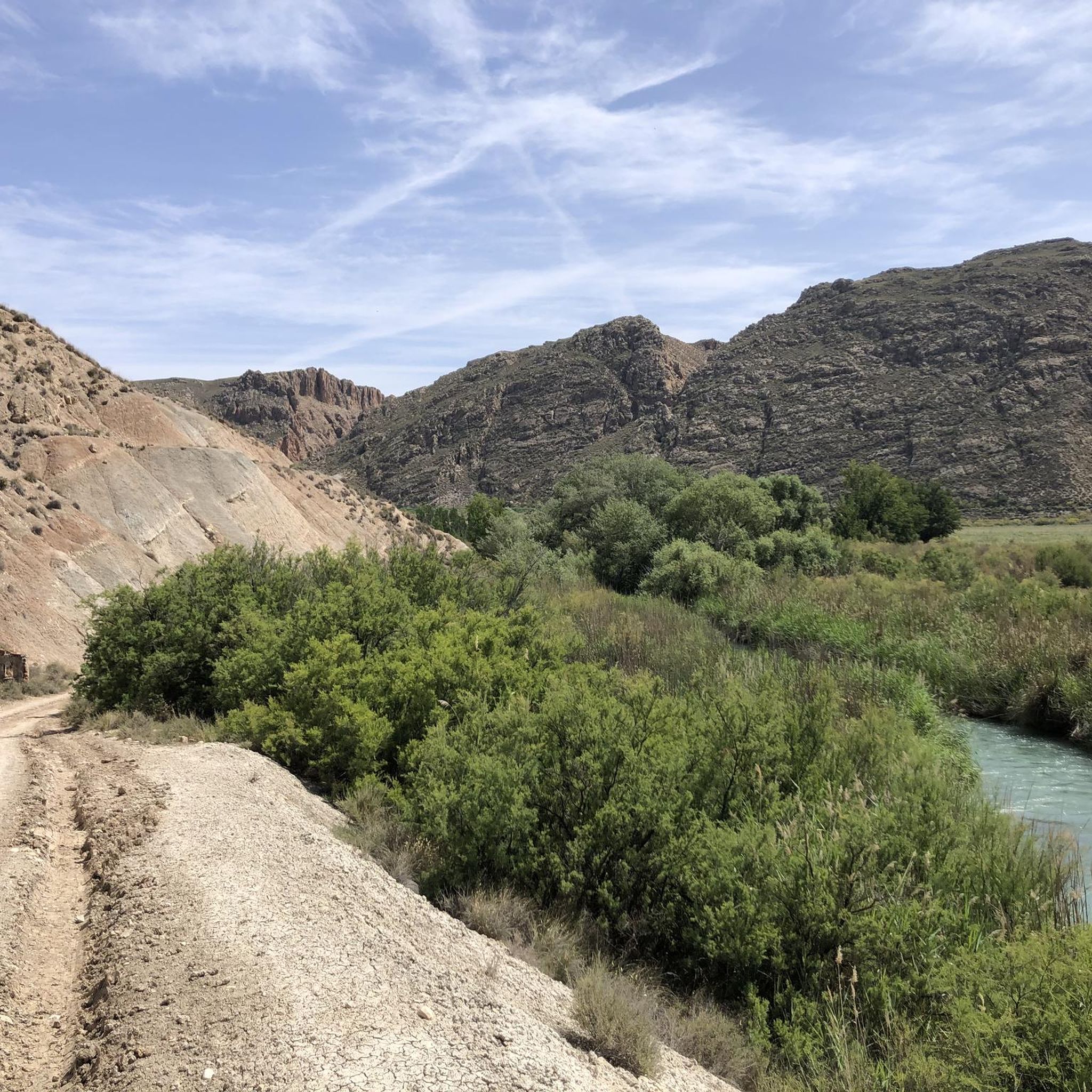
Hiking around Dehesas De Guadix offers access to a distinctive landscape shaped by millennia of erosion, characterized by spectacular badlands topography, impressive rock formations, and gullies. This region, part of the Geopark of Granada, features a striking palette of yellow, purple, and green hues. Several rivers, including the Río Fardes and Río Guadiana Menor, contribute to the diverse natural environment. Surrounding mountains provide a dramatic backdrop for the hiking trails.
Best hiking trails around Dehesas De Guadix
- The most popular hiking route is Negratín Badlands loop from SL-A 314 Chimeneas del Negratín, a 4.2 miles (6.8 km) trail that takes 2 hours 7 minutes to complete, exploring the unique badlands formations.
- Another top favourite among local hikers is Badlands of Granada Geopark loop from SL-A 278 Cañada de la Ventanilla - Campillos, a moderate 5.8 miles (9.3 km) path. This route offers views of the Geopark's eroded landscapes and distinctive geological features.
- Local hikers also love the Cathedrals of the Geopark loop from Loma de las Amoladeras, a 8.4 miles (13.5 km) trail leading through the Geopark's dramatic rock formations, often completed in about 3 hours 50 minutes.
- Hiking around Dehesas De Guadix is defined by badlands topography, eroded rock formations, and river valleys. The network offers options for easy, moderate, and more challenging routes suitable for various ability levels.
- The routes in Dehesas De Guadix are highly rated by the komoot community with an average score of 4.6 stars from over 50 reviews. More than 200 hikers have used komoot to explore Dehesas De Guadix's varied terrain.
Last updated: October 28, 2026
4.7
(25)
125
hikers
Moderate hike. Good fitness required. Easily walkable paths.
4.9
(15)
65
hikers
10.0km
02:46
170m
170m
Moderate hike. Good fitness required. Easily walkable paths.

4.7
(26)
120
hikers
6.82km
02:08
240m
230m
Moderate hike. Good fitness required. Easily walkable paths.
9
hikers
8.01km
02:12
130m
130m
Moderate hike. Good fitness required. Easily walkable paths.
4.5
(2)
9
hikers
Easy hike. Easily walkable paths.
Get access to more routes and recommendations from other explorers.
Already have an account?
Our route recommendations are based on thousands of hikes, rides, and runs completed by other people on komoot.
Start today with a free account
Your next adventure awaits.


Tips from the Community

the name is deserved, the fairies have conjured all their magic to this place
0
0

The 47 km loop is breathtaking for about half of the tour: mind-blowing views as far as the eye can see over 360°. Then in the second part, lots of roads that climb constantly... you have to be in good shape for this loop. The little extra: the tapas bar in the city center after that.
1
0

The Troil Canal. According to scientists, they date back at least 3600 years ago. Due to the precipitation of calcium carbonate, these canals grew and continuously formed these amazing walls (some of them are 4 meters wide at the base, less than a meter wide at the top, 15 meters high and reach a length of almost 750 meters
6
0
The Negratín reservoir was inaugurated in 1984 and its construction meant the disappearance of the town of Las Juntas and the old spa of Zujar, as well as various farmhouses that remained under the waters of the reservoir. The Negratín reservoir is the second largest reservoir in the Autonomous Community of Andalusia, with more than 567 Hm3.
7
0
Stone chimneys. They are formed mainly in dry, arid and hot areas. We find them in different parts of the world, such as Cappadocia, Turkey or Bryce Canyon National Park (USA). In addition to Cuevas del Campo, in Spain these formations are also found in the Ebro Valley, in the Aragonese Alto Gállego, in the Campo de Daroca region (Biescas) and in the Las Nas Reale desert
8
0

The Gorafe Desert is a natural gem located in the province of Granada. This desert is characterized by its impressive geological formations, known as “badlands”, which create a landscape of canyons, ravines and fairy chimneys. The desert is located in the Guadix-Baza Depression, a sedimentary basin that once housed a lake. Today, it is famous for its changing colors throughout the day, ranging from ochres and reds to yellows. In addition, the area is rich in paleontological and archaeological sites, including more than 240 dolmens in the Gorafe Megalithic Park.
1
0

perfect place for a 360 degree view
1
0

Special natural source that is many decades old and continues to grow due to natural lime deposits from the water.
2
0
Frequently Asked Questions
How many hiking trails are available in Dehesas De Guadix?
There are over 15 hiking routes in Dehesas De Guadix, offering a range of experiences from easy strolls to more challenging treks. The komoot community has explored these trails over 200 times.
What kind of terrain will I encounter on hikes in Dehesas De Guadix?
The region is famous for its distinctive badlands topography, shaped by millennia of erosion. You'll find impressive rock formations, gullies, and a striking palette of yellow, purple, and green hues. River valleys, such as those carved by the Río Fardes and Río Guadiana Menor, also contribute to the diverse natural environment.
Are there any easy hiking routes suitable for beginners or families?
Yes, there are several easy routes. For a gentle introduction to the area's natural beauty, consider the Acequia del Toril – Acequia del Toril loop from Cerro de la Raja. This route is relatively short and has minimal elevation gain, making it suitable for a relaxed walk.
What are some notable natural features or landmarks to look out for on the trails?
The region is rich in unique natural features. You can explore the dramatic Los Coloraos Badlands, known for their vibrant colors, or the expansive Gorafe Desert. The Acequia del Toril is another interesting natural monument to discover.
Are there any circular hiking routes in Dehesas De Guadix?
Yes, many routes are designed as loops, allowing you to start and finish in the same location. A popular option is the Negratín Badlands loop from SL-A 314 Chimeneas del Negratín, which offers a comprehensive experience of the unique badlands formations.
What do other hikers enjoy most about hiking in Dehesas De Guadix?
The area is highly rated by the komoot community, with an average score of 4.6 stars from over 50 reviews. Hikers frequently praise the unique badlands topography, the dramatic eroded landscapes, and the sense of discovery offered by the region's diverse trails.
Can I find trails that offer panoramic views?
Absolutely. The region offers several viewpoints that provide stunning vistas of the surrounding landscapes. The Puntal de Don Diego Viewpoint is a great spot to take in the vastness of the area's geological formations and distant mountains.
Are there any trails that explore the Geopark of Granada?
Many trails traverse the Geopark of Granada, showcasing its impressive geological heritage. The Badlands of Granada Geopark loop from SL-A 278 Cañada de la Ventanilla - Campillos is an excellent moderate route that highlights the Geopark's eroded landscapes and distinctive features.
What is the best time of year to go hiking in Dehesas De Guadix?
The best time to hike in Dehesas De Guadix is generally during the spring and autumn months when temperatures are milder. Summers can be very hot, and while winters are generally mild, some higher elevation areas might experience cooler conditions.
Are there any longer or more challenging routes for experienced hikers?
For those seeking a longer and more immersive experience, the Cathedrals of the Geopark loop from Loma de las Amoladeras is a moderate route that covers over 13 kilometers. It leads through some of the Geopark's most dramatic rock formations, requiring good physical condition.
Are there any unique cultural or historical sites near the hiking trails?
Beyond the natural beauty, the region is known for its fascinating cave houses, with many still inhabited today. While not directly on every trail, these unique dwellings offer a glimpse into a traditional way of life and are a significant cultural highlight of the broader Comarca de Guadix.
Most popular routes around Dehesas De Guadix
Most popular attractions around Dehesas De Guadix

Get inspired with the komoot mobile app


Explore more
Browse the best Hikes in other regions.
