The best running trails around Anguiano
5.0
(1)
324
runners
48
runs
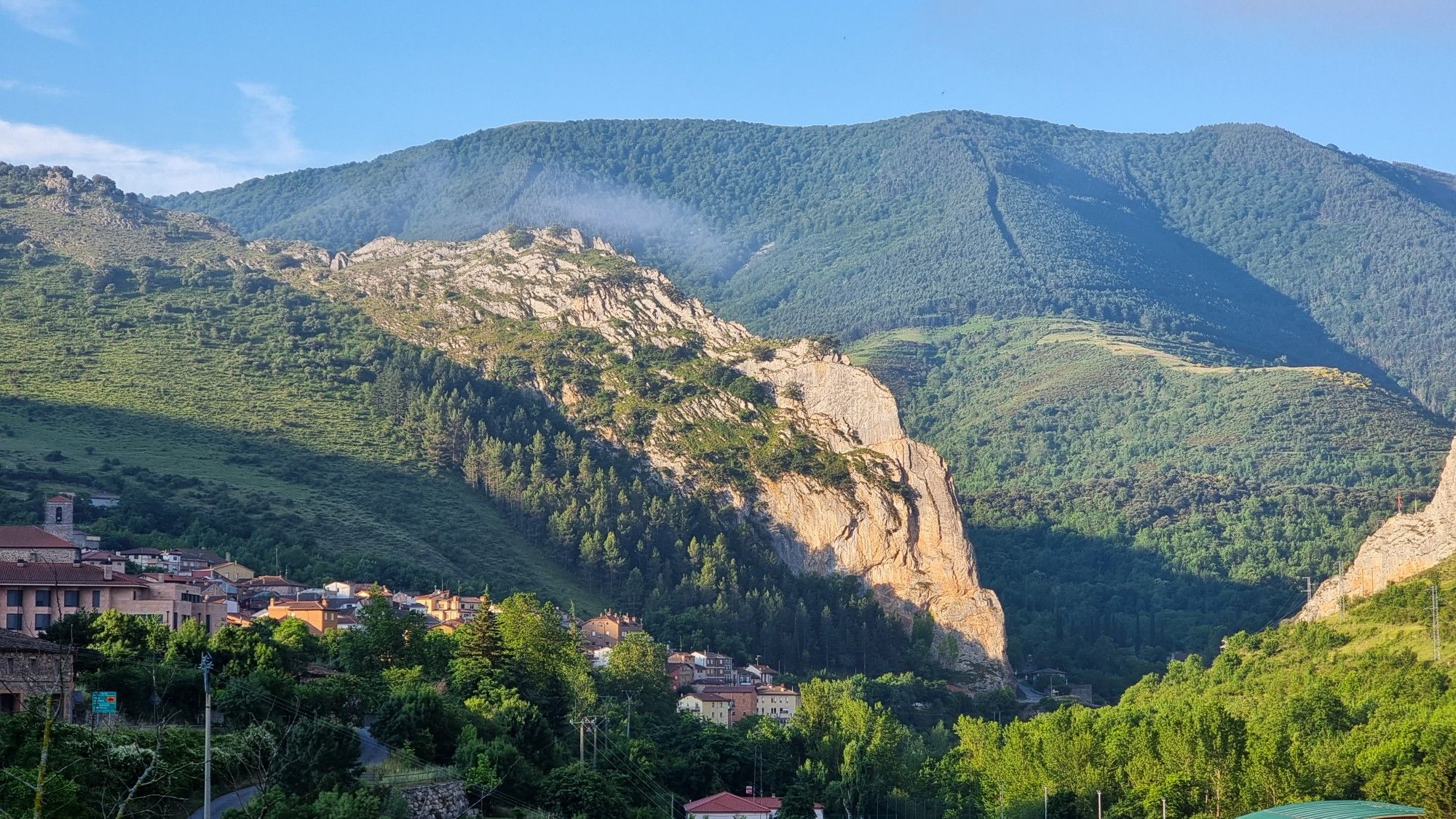
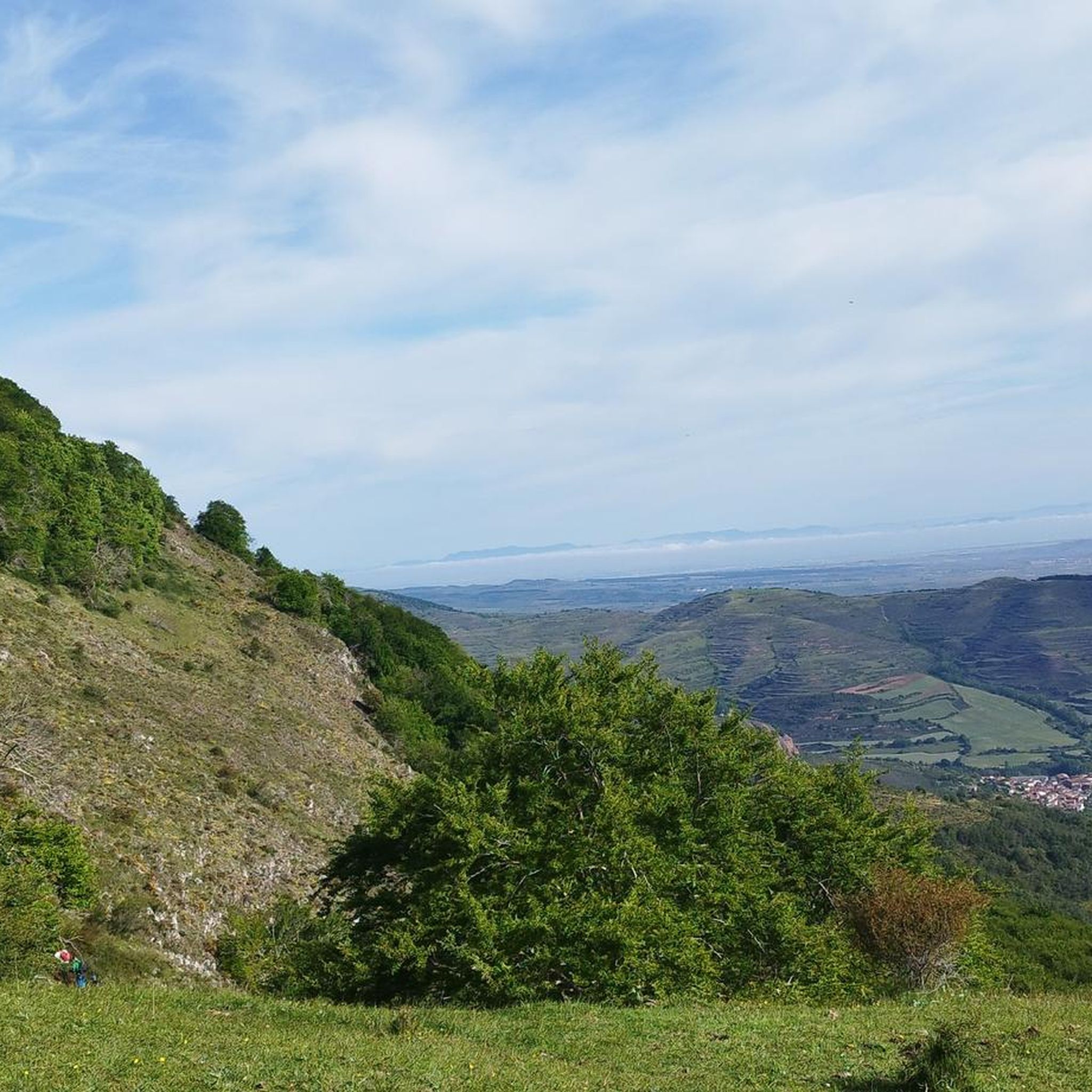
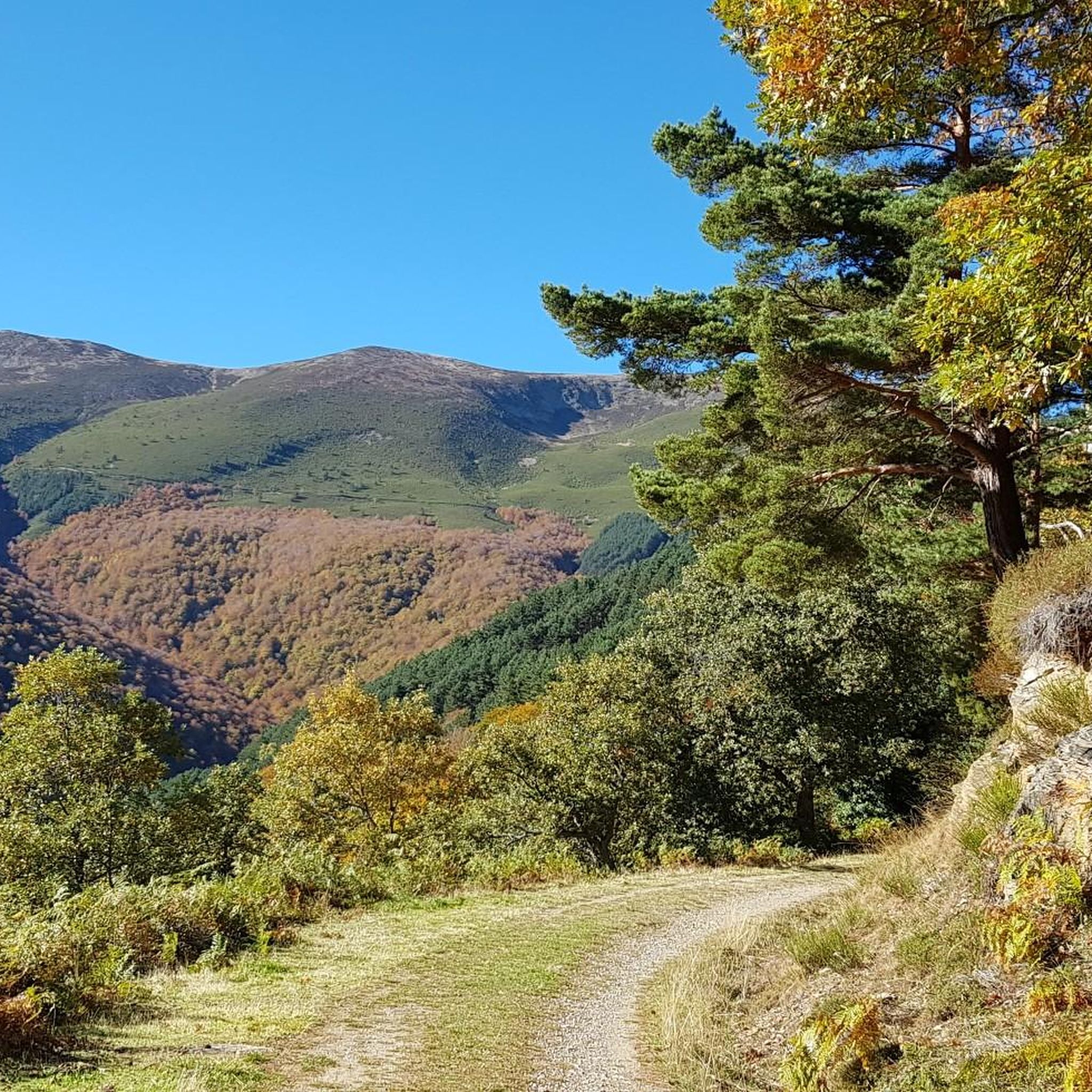
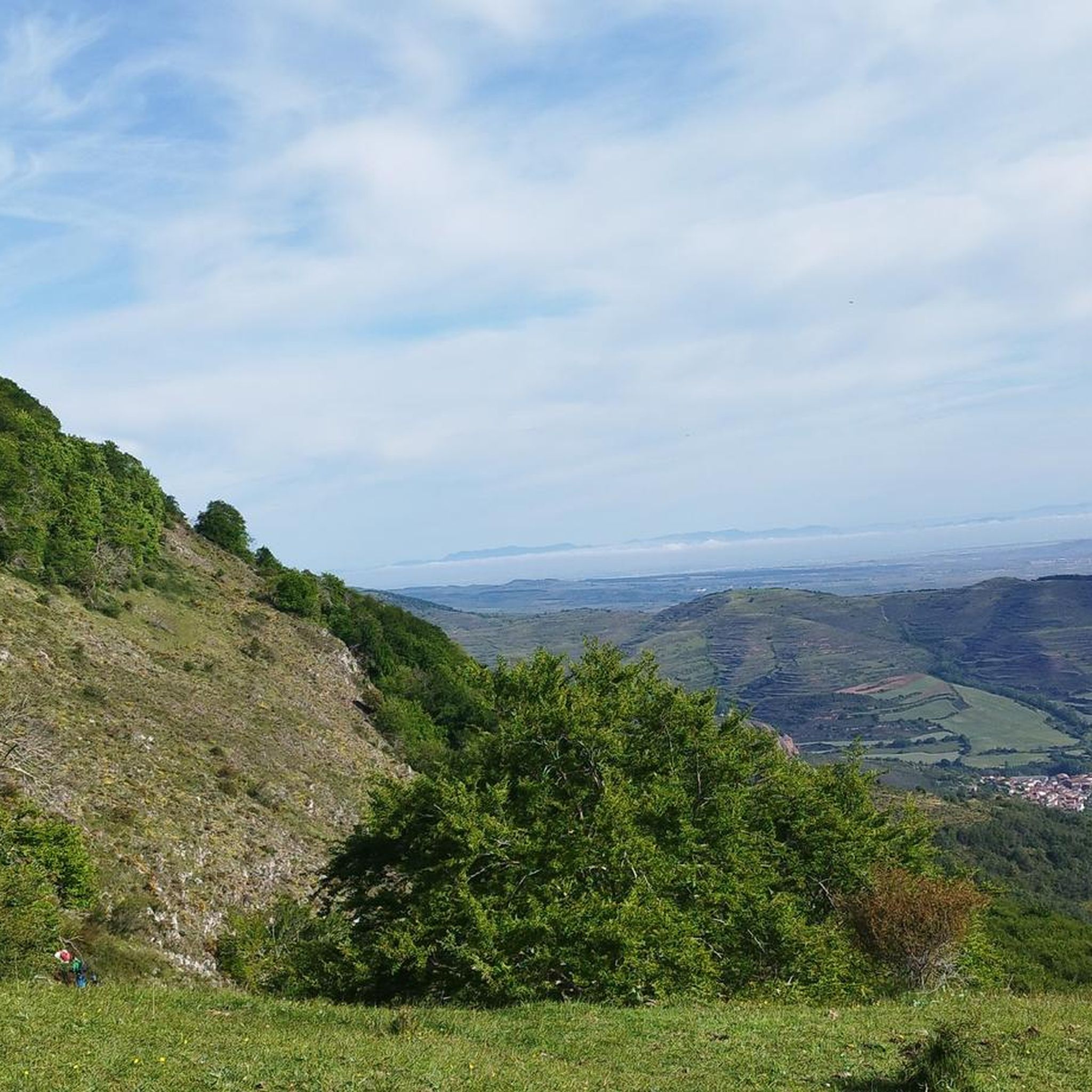
Jogging around Anguiano offers diverse terrain within the La Rioja region of Spain. The area is characterized by its location on the eastern slope of the Sierra de Cameros, with the Najerilla River carving a gorge through the landscape. Imposing sandstone cliffs and lush forests provide varied environments for running, from challenging inclines to more level riverside paths. This mountainous setting ensures a range of natural features for outdoor activities.
Best jogging routes around Anguiano
- The most popular jogging route…
Last updated: June 28, 2026
9
runners
10.8km
01:48
680m
690m
Hard run. Very good fitness required. Mostly paved surfaces. Suitable for all skill levels.
10
runners
17.7km
02:53
1,070m
1,070m
Hard run. Very good fitness required. Mostly paved surfaces. Suitable for all skill levels.

Sign up for free
6
runners
14.0km
02:13
750m
750m
Hard run. Very good fitness required. Mostly paved surfaces. Suitable for all skill levels.
5
runners
11.8km
01:53
680m
680m
Hard run. Very good fitness required. Mostly paved surfaces. Suitable for all skill levels.
4
runners
11.8km
01:30
250m
250m
Moderate run. Good fitness required. Mostly paved surfaces. Suitable for all skill levels.
Get access to more routes and recommendations from other explorers.
Sign up for free
Already have an account?
Our route recommendations are based on thousands of hikes, rides, and runs completed by other people on komoot.
Start today with a free account
Your next adventure awaits.
Login or Signup
Popular around Anguiano
Other adventures around Anguiano


Tips from the Community

Matute is a small village of about 90 inhabitants located in the Najerilla river basin. Very close to here is the Salto del Agua, a beautiful waterfall located at the end of a path that crosses an impressive ravine.
0
0

Las Cuevas is one of the three neighborhoods in the municipality of Anguiano. The Madre de Dios bridge (one of the most spectacular in La Rioja due to its steep enclave) separates it from the other two neighborhoods of the town.
0
0
Frequently Asked Questions
How many running trails are available around Anguiano?
There are over 30 running routes available around Anguiano. While many are challenging, offering significant elevation changes, there are also options for moderate runs through varied landscapes.
What kind of terrain can I expect on the running routes near Anguiano?
The running routes around Anguiano are characterized by mountainous terrain, river valleys, and dense forests. You'll encounter challenging inclines through the Sierra de Cameros, paths along the Najerilla River, and trails offering views of impressive sandstone cliffs.
Are there any circular running routes in Anguiano?
Yes, many routes around Anguiano are circular. For example, the San Quilés – Sima del Caracol loop from Anguiano is a popular 7.8-mile (12.6 km) trail that takes you through forested areas with challenging ascents.
What are some notable landmarks or attractions I might see while running near Anguiano?
While running near Anguiano, you can encounter several interesting landmarks. The Monasterio de Valvanera is about 15 km away and accessible via routes that offer a rewarding long-distance run. Closer to the village, the 18th-century Hermitage of Santa María Magdalena provides a scenic spot, and the impressive Madre de Dios Bridge spans the Najerilla River, connecting parts of Anguiano.
Are there any easy running routes for beginners in Anguiano?
Most of the routes around Anguiano are rated as difficult due to the mountainous terrain and significant elevation changes. However, the region's existing infrastructure for hiking and forest walks can be adapted for easier jogs, especially along flatter riverside paths, though specific easy routes are less common in the komoot selection for this area.
What do other runners enjoy most about jogging in Anguiano?
The komoot community highly rates the running experience in Anguiano, with an average score of 5.0 stars. Runners often praise the diverse and challenging terrain, the stunning natural beauty of the Sierra de Cameros, and the panoramic views offered by the trails.
Can I find routes that offer views or viewpoints?
Absolutely. The mountainous setting of Anguiano, with its sandstone cliffs and position within the Sierra de Cameros, means many routes offer breathtaking vistas. Trails like the Peña Cristisalve – Peñalba loop from Matute are known for their panoramic views of the surrounding landscape.
What is the best season for running in Anguiano?
Anguiano's mountainous and forested environment provides cooler, shaded paths, making it suitable for running during warmer months. The varied terrain also offers different experiences throughout the year, though specific seasonal recommendations would depend on personal preference for weather and trail conditions.
Are there any running routes that start directly from Anguiano?
Yes, some routes, like the San Quilés – Sima del Caracol loop from Anguiano, begin directly from the village, offering convenient access to the trails without needing to travel far.
What are the typical distances and durations for running trails in this area?
Running trails in Anguiano vary significantly. You can find routes ranging from moderate distances, such as the 7.8-mile (12.6 km) San Quilés – Sima del Caracol loop from Anguiano which takes about 2 hours, to longer, more challenging runs like the 13.9-mile (22.4 km) Pico La Rioja – Peña Cristisalve loop from Matute, which can take over 3 hours to complete.
Are there any specific natural features to look out for on the trails?
Beyond the general mountainous and forested landscapes, keep an eye out for the dramatic sandstone cliffs that frame the Najerilla River gorge. The river itself offers tranquil views, and the dense forests provide a refreshing, shaded environment for your run.
Most popular attractions around Anguiano

Get inspired with the komoot mobile app


Explore more
Browse the best Running Trails & Routes in other regions.
