The best walks and hikes around Anguiano
4.7
(99)
801
hikers
18
hikes
Hiking around Anguiano offers diverse terrain, characterized by its location on the eastern slopes of the Sierra de Cameros and bordered by the Najerilla river. The region features imposing cliffs, varied mountainous environments, and dense forests. This topography provides a range of elevation changes and scenic riverine landscapes for hikers to explore.
Best hiking trails around Anguiano
- The most popular hiking route is Three Villages Trail, a difficult 10.4 miles (16.7 km) trail that takes 5 hours 14 minutes to complete. This route features significant elevation gain through varied landscapes.
- Another top favourite among local hikers is Monasterio de Valvanera loop from Monasterio de Valvanera, an easy 3.1 miles (5.0 km) path. This trail offers easily accessible paths around the monastery, set in a natural environment.
- Local hikers also love the Anguiano – Anguiano Village loop from Anguiano, a 5.6 miles (9.1 km) trail leading through the village surroundings, often completed in about 2 hours 59 minutes.
- Hiking around Anguiano is defined by mountainous terrain, riverine landscapes, and dense forests. The network offers options for different ability levels, from easy loops to challenging long-distance trails.
- The routes in Anguiano are highly rated by the komoot community with an average score of 4.7 stars from over 80 reviews. More than 700 hikers have used komoot to explore Anguiano's varied terrain.
Last updated: July 7, 2026
4.5
(2)
9
hikers
16.7km
05:15
640m
640m
Hard hike. Very good fitness required. Mostly accessible paths. Sure-footedness required.
4.6
(8)
68
hikers
4.96km
01:28
160m
160m
Easy hike. Great for any fitness level. Easily-accessible paths. Suitable for all skill levels.

Sign up for free
5.0
(4)
19
hikers
13.0km
04:38
740m
740m
Moderate hike. Good fitness required. Easily-accessible paths. Suitable for all skill levels.
5.0
(1)
5
hikers
22.2km
07:48
1,230m
1,230m
Hard hike. Very good fitness required. Easily-accessible paths. Suitable for all skill levels.
5.0
(2)
5
hikers
13.7km
04:50
770m
770m
Moderate hike. Good fitness required. Easily-accessible paths. Suitable for all skill levels.
Get access to more routes and recommendations from other explorers.
Sign up for free
Already have an account?
Our route recommendations are based on thousands of hikes, rides, and runs completed by other people on komoot.
Start today with a free account
Your next adventure awaits.
Login or Signup
Popular around Anguiano
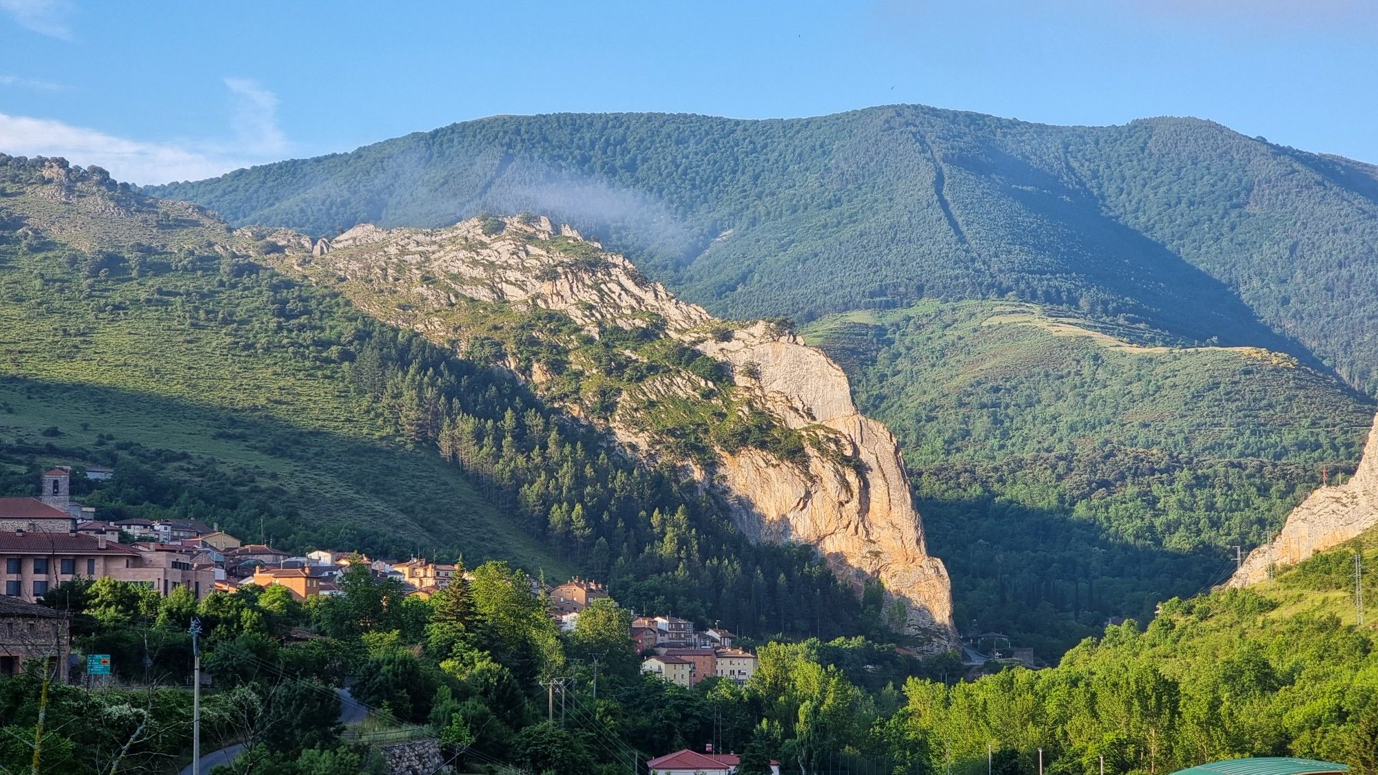
Passes and dinosaur footprints – Spain’s Sierras Riojanas (GR 93)
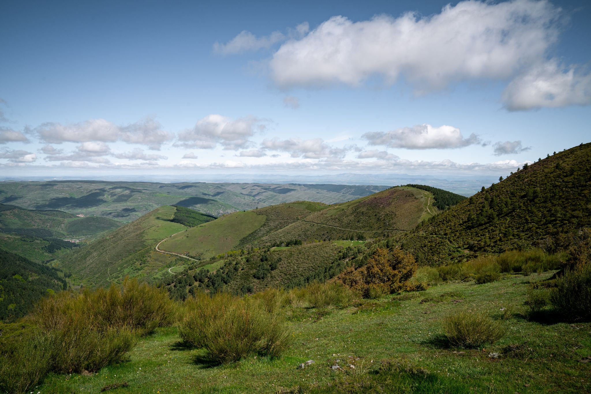
In the mountains of La Rioja – Iberian High Valleys trail (GR 190)
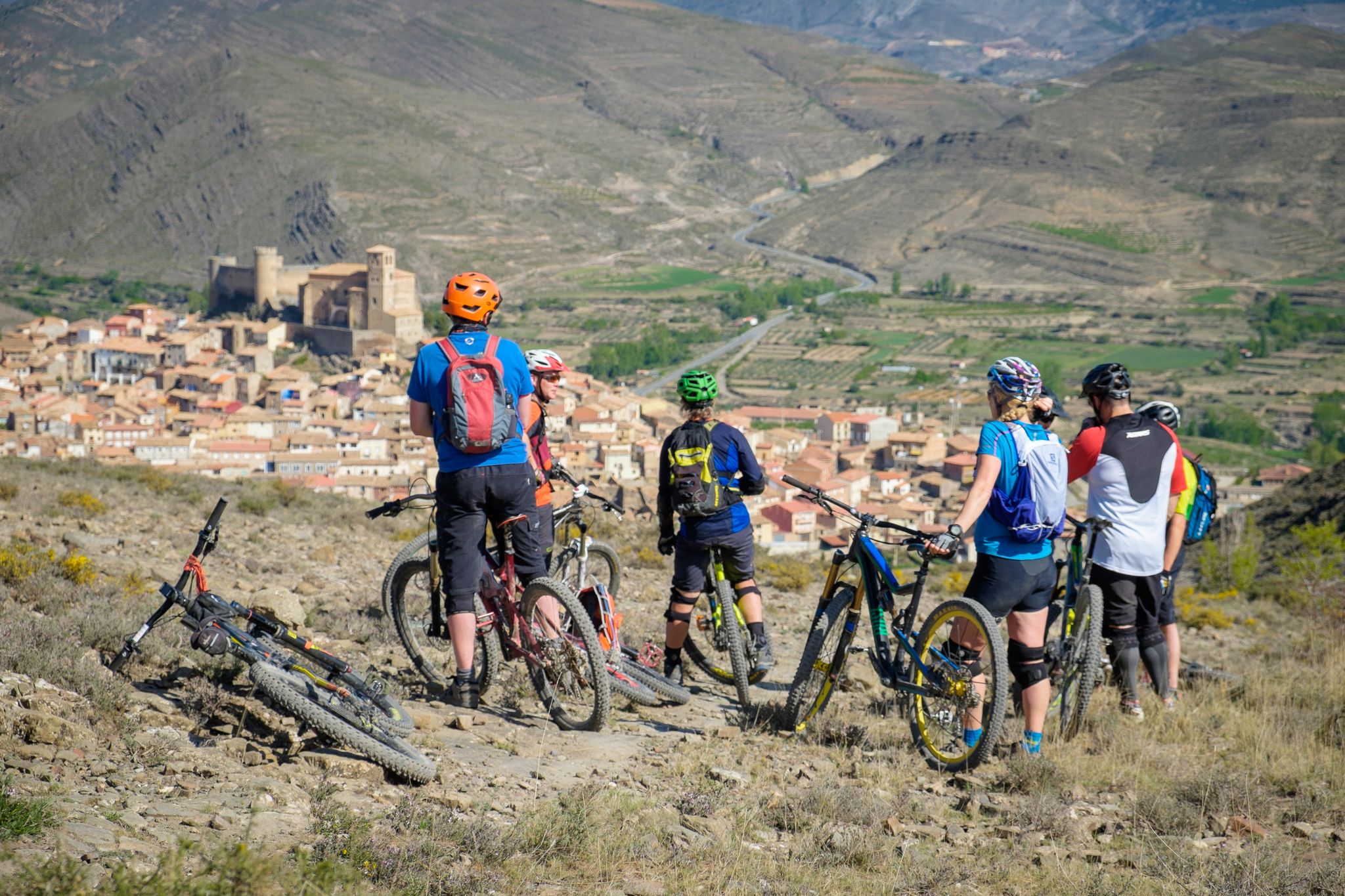
Mountains, valleys and trails in La Rioja – GR 93 by e-bike
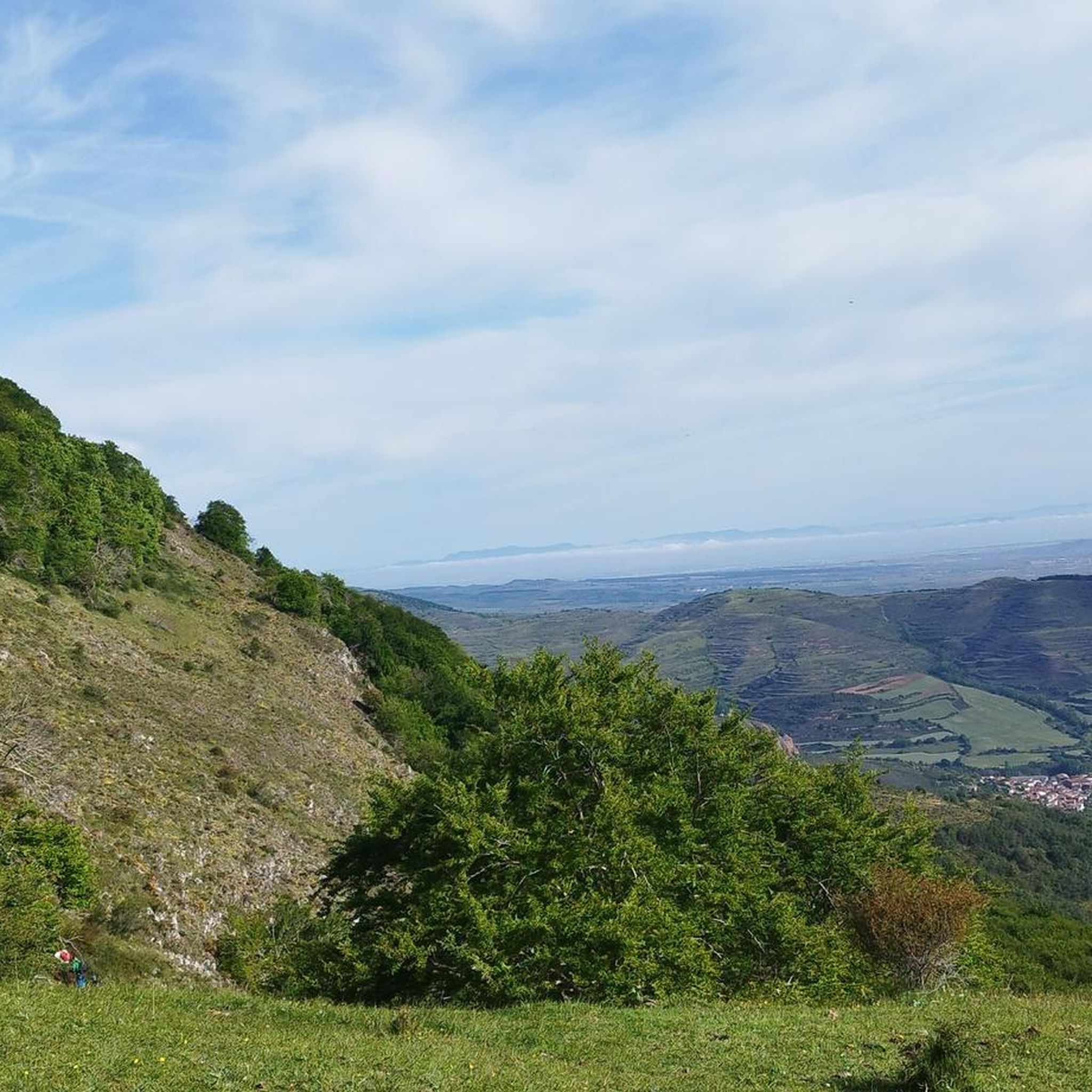
Road Cycling Routes around Anguiano
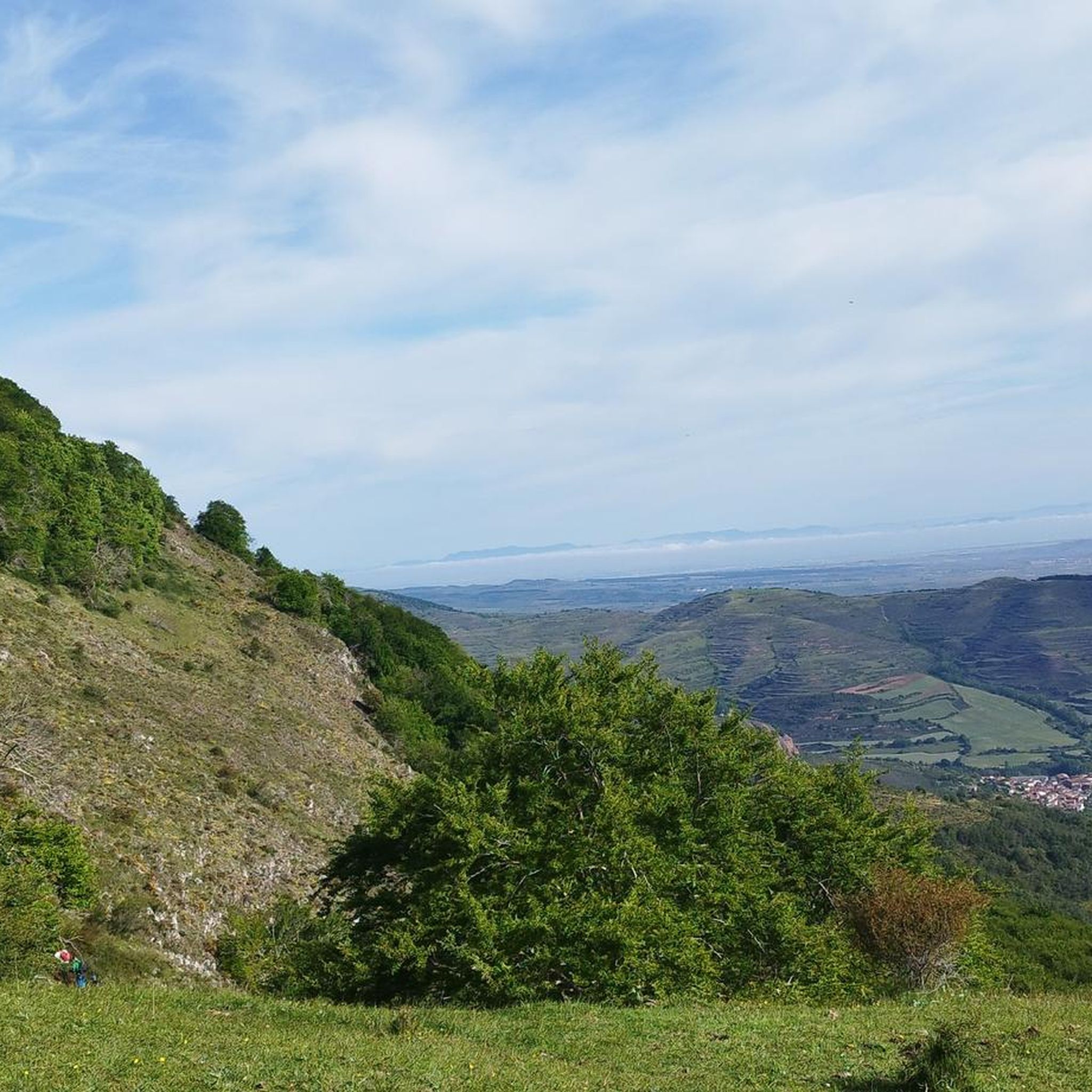
MTB Trails around Anguiano
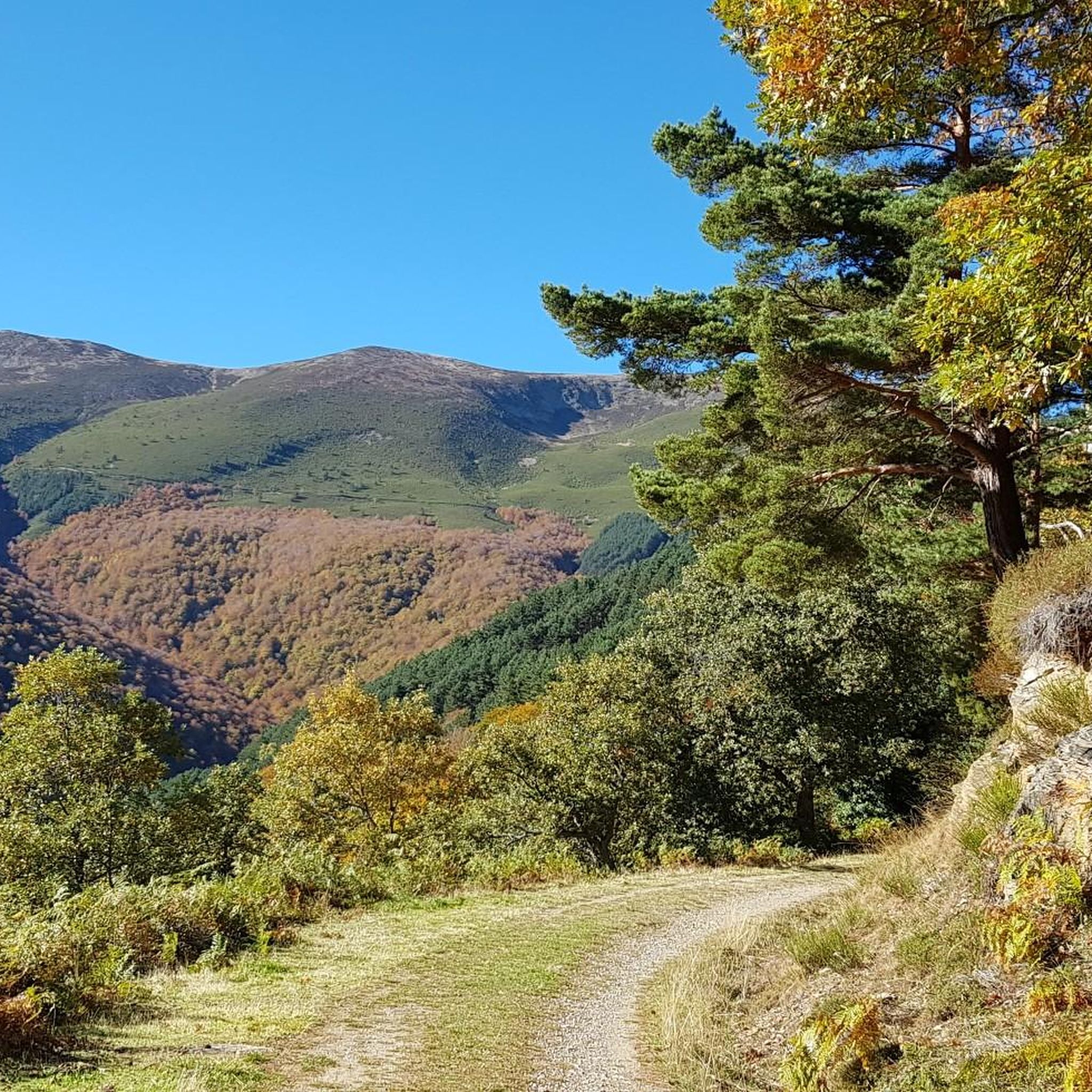
Cycling around Anguiano
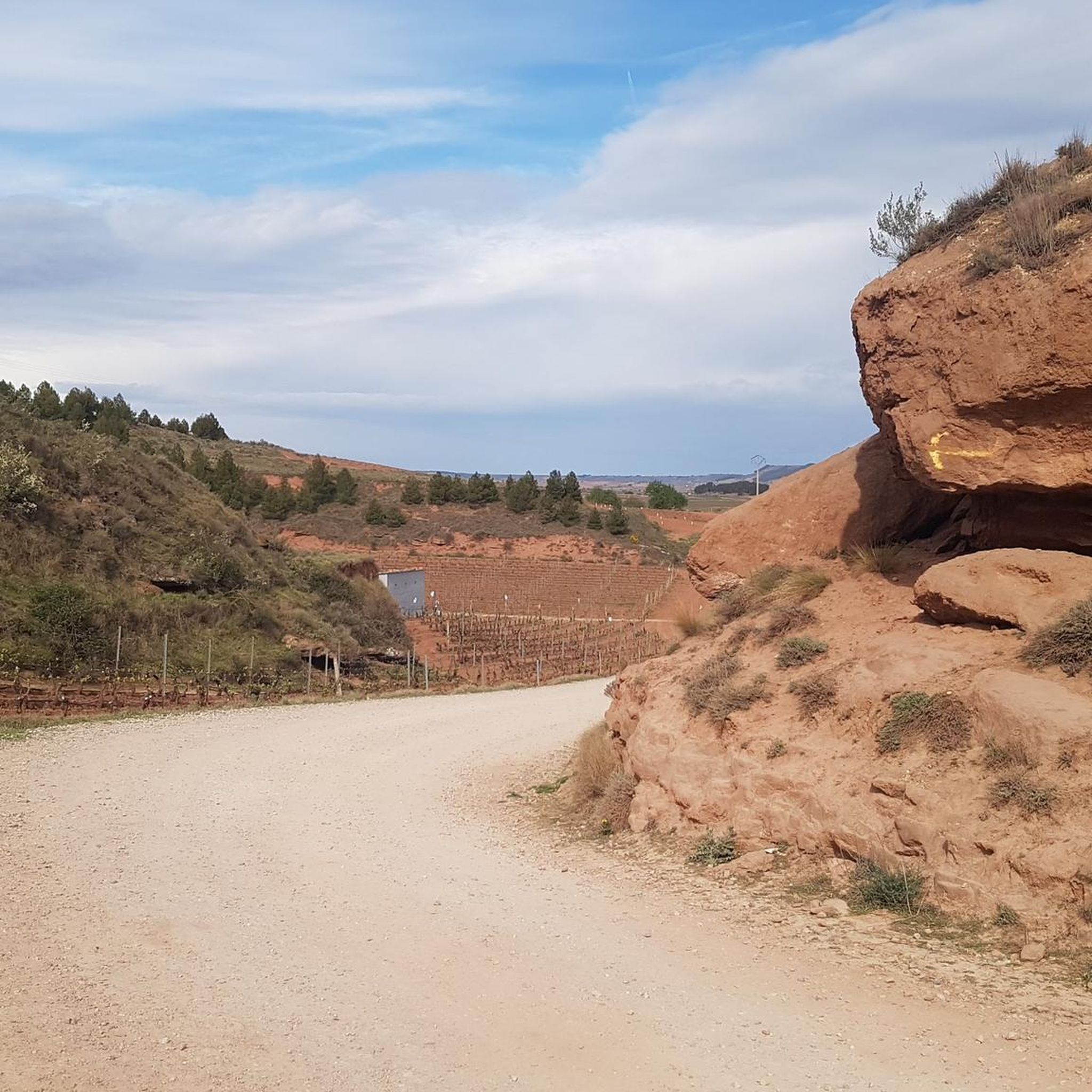
Running Trails around Anguiano
Other adventures around Anguiano


Tips from the Community

superb place with a magnificent view, deep in a lost valley. The hebrrge monastery still has lines but also functions as a hotel, with simple but very comfortable rooms and a very healthy meal.
0
0

6 km climb from ANGIANO, not very hard but it depends on the pace, especially the last 2 km.
2
0

Very quiet place to start hiking and see the activity of the monastery
0
0

Emblematic place of La Rioja where the patron saint of La Rioja, the Virgin of Valvanera, is located. If you go up by road, the last 5 kilometers from the fork in the LR-113 road are demanding and add to the accumulated unevenness if you arrive from Anguiano. It can be reached by paths for both mountain biking and hiking. Keep an eye on your mobile as there is not much coverage in the area.
0
0

The leafiness of the trees of the Valvanera valley accompanies you in a large part of your way to protect you with its shade from the sun's rays.
0
0
The Valvanera valley, where the Valvanera monastery is located, is located in the most rugged and steep part of the Distercios mountains. Those wooded patches that can be seen from the religious center are predominantly beech forests combined with mixed forests of abundant ash trees, common oak groves and montane holm oak groves.
0
0
The Valvanera Monastery is located in a truly privileged setting. The building is beautiful and the views are amazing. So far many pilgrimages have been made from Logroño. Today, the monks who inhabit it sell a very famous liquor and offer accommodation and restaurants.
0
0

Beautiful place to visit, good climb before the monastery.
0
0
Frequently Asked Questions
How many hiking trails are available around Anguiano?
Anguiano offers a diverse network of over 15 hiking trails, catering to various skill levels. You'll find everything from easy loops to challenging long-distance routes through mountainous terrain and riverine landscapes.
Are there easy hiking trails suitable for beginners or families in Anguiano?
Yes, Anguiano has several easy trails perfect for beginners or families. For instance, the Monasterio de Valvanera loop from Monasterio de Valvanera is an easy 5.0 km path with accessible routes around the monastery, set in a beautiful natural environment.
Can I find circular hiking routes in the Anguiano area?
Absolutely. Many trails around Anguiano are designed as circular routes, allowing you to start and end in the same location. A popular option is the Anguiano – Anguiano Village loop from Anguiano, which is a moderate 9.1 km trail exploring the village surroundings.
What natural features or landmarks can I expect to see while hiking near Anguiano?
Hikes around Anguiano offer stunning natural features including imposing cliffs, dense forests, and the Najerilla river. You can also discover the spectacular 18th-century Madre de Dios Bridge, which spans 30 meters above the river. The region is also known for its beautiful beech forests, especially vibrant in autumn.
Are there any trails that feature waterfalls in the Anguiano region?
Yes, the region around Anguiano is known for its riverine landscapes, and some routes, like sections of the GR-93 Barranco del Manzanar circular route, feature waterfalls. These trails offer a chance to experience the dynamic natural beauty of the area.
Is Anguiano a dog-friendly hiking destination?
While specific dog-friendly trail regulations can vary, the natural and open landscapes around Anguiano generally welcome dogs. It's always recommended to keep dogs on a leash, especially in areas with wildlife or livestock, and to follow local guidelines.
What is the best time of year to go hiking in Anguiano?
The best time to hike in Anguiano is generally during spring, summer, and autumn. Autumn is particularly recommended for its vibrant colors in the beech forests. The varied terrain means some routes are enjoyable year-round, but always check local conditions, especially for higher elevations in winter.
Are there any notable cultural or historical sites accessible from hiking trails?
Yes, the Monasterio de Valvanera is a significant cultural site located about 15 km from Anguiano, set in a beautiful natural environment and serving as a starting point for hikes. Additionally, the UNESCO World Heritage San Millán de la Cogolla Monasteries (Suso and Yuso) are nearby and offer a blend of architectural and cultural heritage.
Where can I park when starting a hike in Anguiano?
Anguiano, as a village, typically offers parking options within or on the outskirts of the village itself, which can serve as starting points for many local trails. For routes beginning at specific landmarks like the Monasterio de Valvanera, dedicated parking is usually available at the site.
What do other hikers say about the trails around Anguiano?
The trails in Anguiano are highly rated by the komoot community, with an average score of 4.7 stars from over 80 reviews. Hikers often praise the diverse terrain, from riverine landscapes to dense forests, and the variety of routes suitable for different ability levels.
Are there challenging routes for experienced hikers in Anguiano?
Experienced hikers will find plenty of challenging options. The Three Villages Trail is a difficult 16.7 km route with significant elevation gain, taking over 5 hours to complete. Another demanding option is the Hiking loop from Anguiano, a hard 14.6 km route with substantial elevation changes.
Can I combine hiking with exploring nearby mountain passes or peaks?
Absolutely. The region around Anguiano, situated within the Sierra de Cameros, offers access to numerous mountain passes and peaks. You can explore highlights such as Peña Hincada Pass or the Puerto de la Rasa (1,420 m), which provide amazing views and challenging climbs.
What kind of terrain should I expect on hikes around Anguiano?
Hikes around Anguiano feature a varied topography. You can expect mountainous terrain with significant elevation changes, riverine landscapes along the Najerilla river, and dense forests, including beautiful beech woods. The trails range from easily accessible paths to rugged mountain tracks.
Most popular attractions around Anguiano

Get inspired with the komoot mobile app


Explore more
Browse the best Hikes in other regions.
