The best cycling routes around Anguiano
4.4
(19)
147
riders
29
rides
Touring cycling routes around Anguiano traverse the eastern slope of the Sierra de Cameros, offering diverse and scenic landscapes. The region is characterized by wild mountain landscapes, river valleys, and imposing cliffs, with the Najerilla River flowing through the village. Cyclists can expect routes with significant elevation changes, passing through forests and mountainous terrain. The varied topography provides a range of experiences for touring cyclists.
Best touring cycling routes around Anguiano
- The most popular touring cycling route is González Lacasa…
Last updated: July 12, 2026
4
riders
34.6km
02:40
670m
670m
Hard bike ride. Very good fitness required. You may need to push your bike for some segments of this route.
5.0
(1)
11
riders
35.7km
03:05
850m
850m
Hard bike ride. Very good fitness required. Mostly paved surfaces. Suitable for all skill levels.

Sign up for free
10
riders
35.4km
03:54
920m
920m
Hard bike ride. Very good fitness required. Mostly paved surfaces. Suitable for all skill levels.
10
riders
31.3km
02:32
550m
550m
Hard bike ride. Very good fitness required. Mostly paved surfaces. Suitable for all skill levels.
4.0
(1)
7
riders
90.1km
05:44
1,120m
1,120m
Hard bike ride. Very good fitness required. Mostly paved surfaces. Suitable for all skill levels.
Get access to more routes and recommendations from other explorers.
Sign up for free
Already have an account?
Our route recommendations are based on thousands of hikes, rides, and runs completed by other people on komoot.
Start today with a free account
Your next adventure awaits.
Login or Signup
Popular around Anguiano
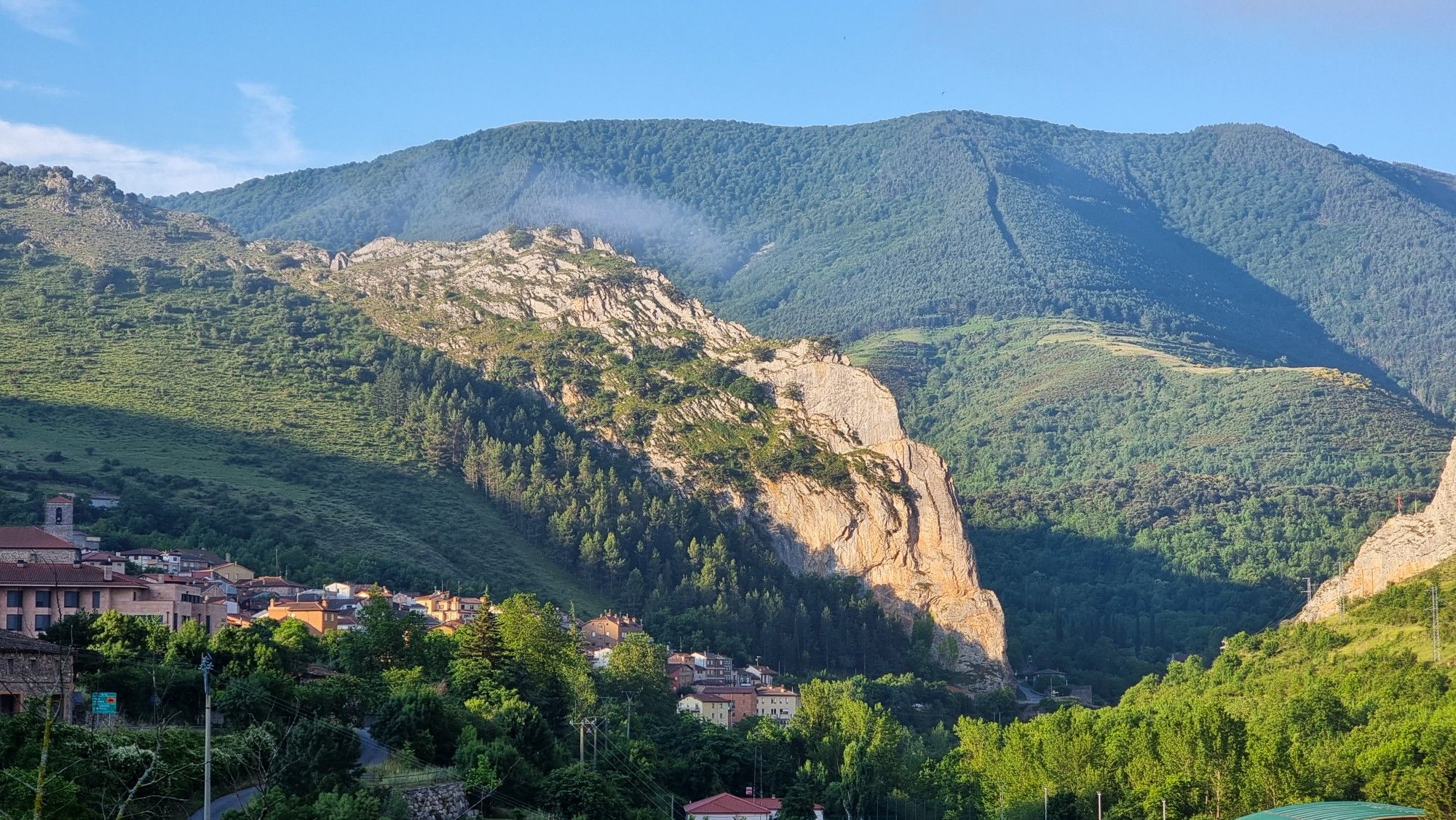
Passes and dinosaur footprints – Spain’s Sierras Riojanas (GR 93)
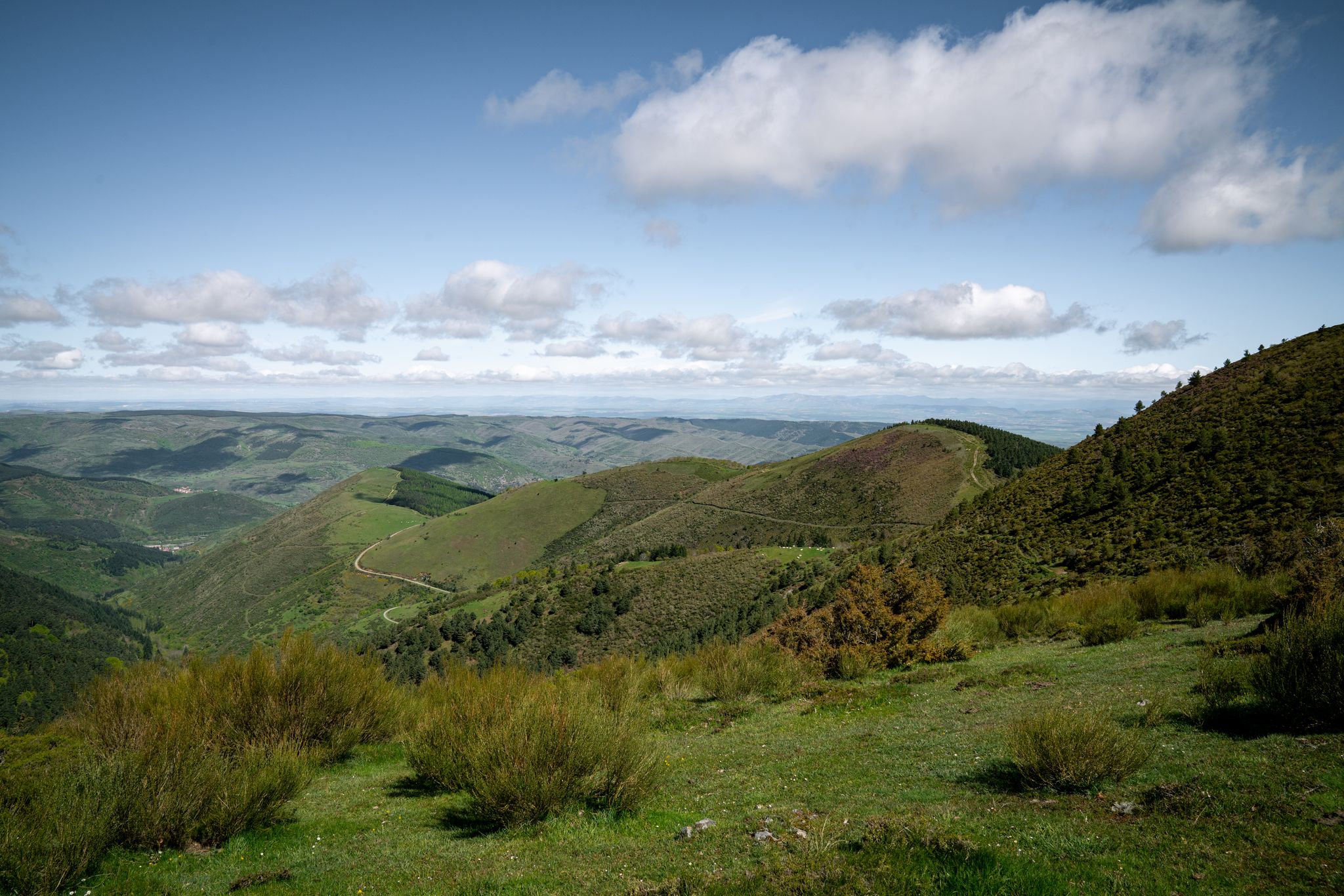
In the mountains of La Rioja – Iberian High Valleys trail (GR 190)
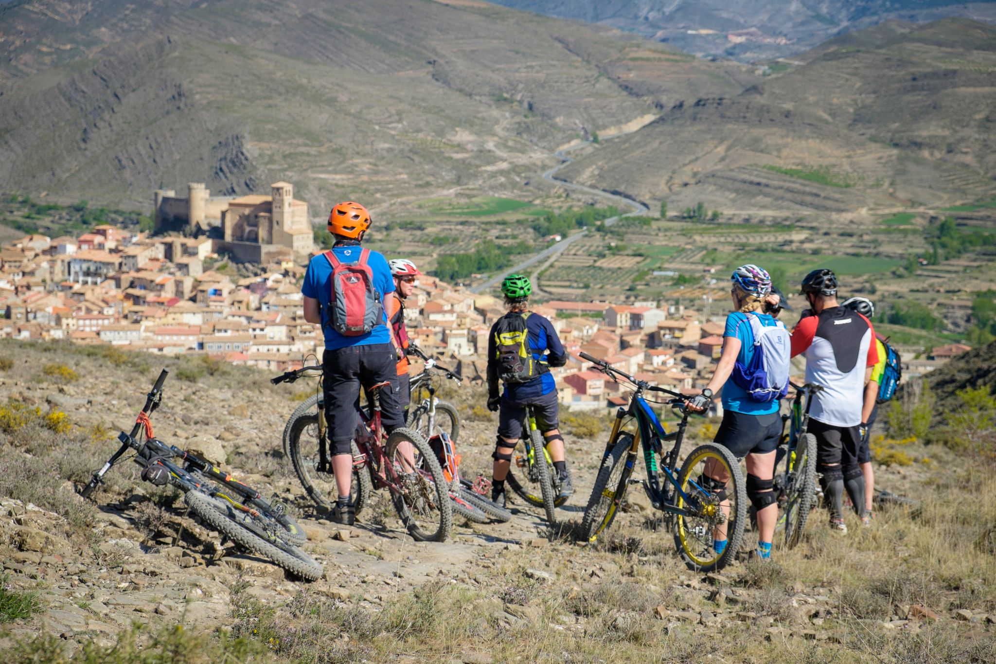
Mountains, valleys and trails in La Rioja – GR 93 by e-bike
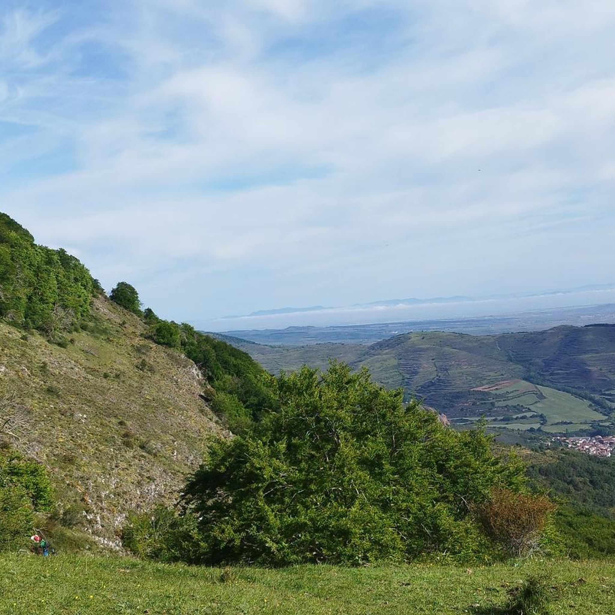
Road Cycling Routes around Anguiano
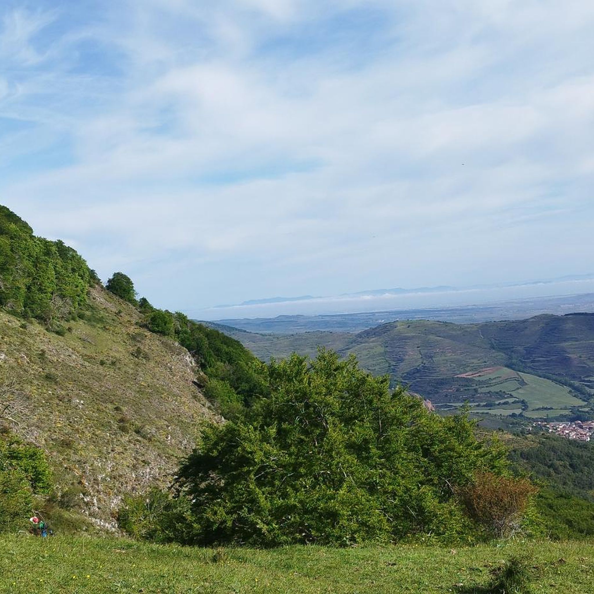
MTB Trails around Anguiano
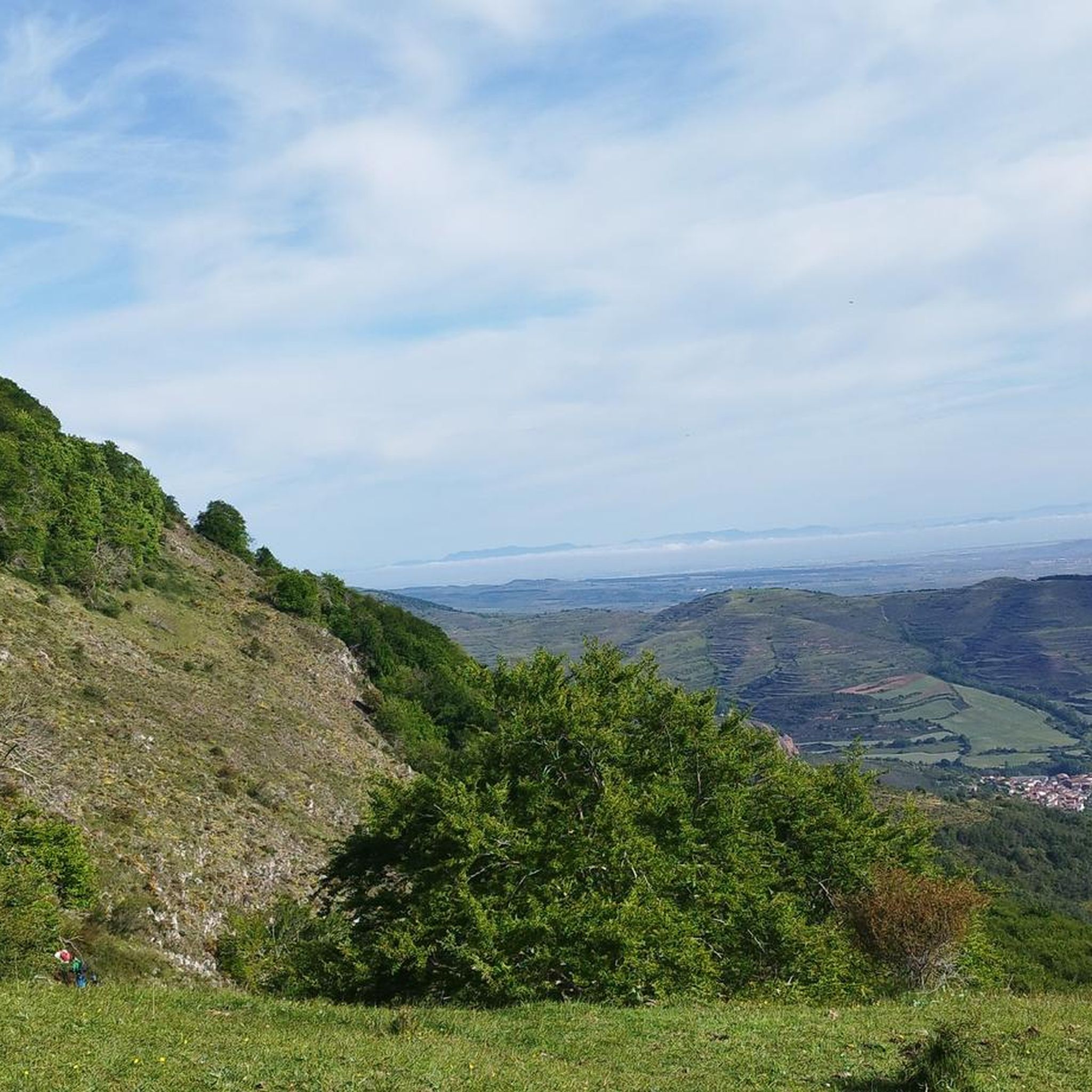
Hiking around Anguiano
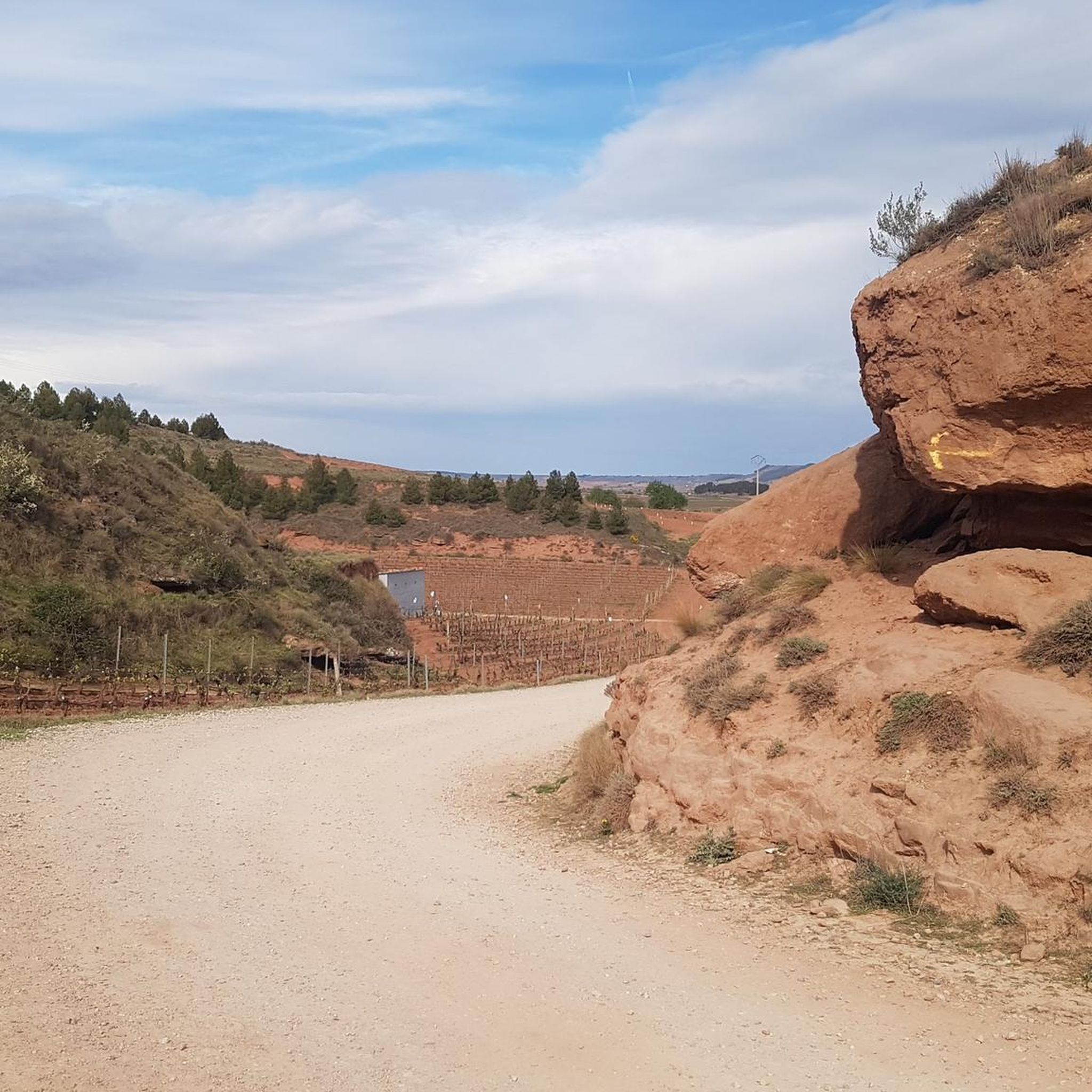
Running Trails around Anguiano
Other adventures around Anguiano


Tips from the Community

There is a very nice walk through the town! Time: about 1 hour
1
0

One of the most beautiful mountain villages in the Cameros region. Filled with stone houses, it is located on the slopes of a natural canyon, the Encinedo massif. This ravine was formed through a karstic process that gave rise to several chasms and caves. Two of them can be visited, the one in La Paz and the one in La Villa.
1
0

Wonderful to cycle on the little-used road along the reservoir.
2
0


Singular tree of the CCAA, quite deteriorated but enduring the passing of the years.
1
0
Important town of the region of Cameros.
1
0

The Mansilla reservoir is located on the Najerilla river, a tributary of the Ebro river. Its waters hide the old town of Mansilla de la Sierra, whose church and some other buildings are visible when it is low.
0
0
The port of Peña Hincada has good asphalt and horizontal signage. It is a road with little vehicle traffic. Shadows abound up to Brieva to disappear from that core to the top, totally stark in its most demanding part. Be very careful if it is done in winter, check the weather beforehand.
1
0
Frequently Asked Questions
How many touring cycling routes are available around Anguiano?
There are over 20 touring cycling routes available around Anguiano. These routes are highly rated by the komoot community, with an average score of 4.4 stars from over 19 reviews.
What are the typical difficulty levels for touring cycling routes in Anguiano?
The touring cycling routes around Anguiano are predominantly challenging, with 20 out of 23 routes classified as difficult. There are also 3 moderate routes, but no easy options, indicating that the area is best suited for cyclists with some experience.
What kind of landscapes can I expect to see while touring cycling around Anguiano?
Touring cycling around Anguiano offers diverse and scenic landscapes. You'll traverse the eastern slope of the Sierra de Cameros, encountering wild mountain landscapes, river valleys, and imposing cliffs. Routes often pass through dense forests and along the Najerilla River, providing a rugged and picturesque backdrop.
Are there any circular touring cycling routes in the Anguiano area?
Yes, several circular touring cycling routes are available. For example, you can explore the González Lacasa Reservoir - circular from Ortigosa de Cameros, which offers reservoir views, or the Peña Hincada Pass – Ortigosa de Cameros loop from El Rasillo de Cameros, featuring panoramic mountain views.
What historical or cultural landmarks can I visit while cycling near Anguiano?
The region offers several historical and cultural points of interest. A notable landmark is the Monasterio de Valvanera, an important site and patron saint of La Rioja, often incorporated into cycling routes. Anguiano itself features the spectacular 18th-century Madre de Dios Bridge and historic churches like the Parish Church of San Andrés.
Are there any natural features or viewpoints to look out for on the routes?
Absolutely. The routes frequently offer stunning natural features and viewpoints. You'll encounter the dramatic cliffs framing Anguiano, the scenic Najerilla River, and the rugged peaks of the Sierra de Cameros. Many routes provide panoramic views, especially from mountain passes like those on the Peña Hincada Pass – Ortigosa de Cameros loop from El Rasillo de Cameros.
What is the best time of year to go touring cycling in Anguiano?
La Rioja, where Anguiano is located, is known for its cycling holidays through vineyards and wild mountain landscapes. While specific weather conditions vary, the region generally offers pleasant conditions for cycling, especially during spring and autumn when temperatures are milder and the scenery is vibrant. Always check local forecasts before your ride.
Are there options for family-friendly touring cycling routes in Anguiano?
The touring cycling routes around Anguiano are generally classified as moderate to difficult, with significant elevation changes. There are currently no routes specifically listed as easy, suggesting that the terrain might be more suitable for families with older children or those accustomed to challenging rides.
Are there any longer touring cycling routes for experienced riders?
Yes, experienced riders looking for longer distances can tackle routes like the Anguiano – Canales de la Sierra loop from Anguiano. This challenging route covers over 90 km (56 miles) with significant elevation gain, offering an extensive exploration of the region's mountainous terrain.
What do other touring cyclists say about the routes in Anguiano?
The touring cycling routes in Anguiano are highly regarded by the komoot community, holding an average rating of 4.4 out of 5 stars from over 19 reviews. Cyclists often praise the diverse and scenic landscapes, the challenging climbs, and the immersive experience of riding through wild mountain terrain and dense forests.
Can I bring my dog on touring cycling routes in Anguiano?
While many outdoor areas in Spain are dog-friendly, specific regulations can vary for cycling routes, especially those passing through protected natural areas or private lands. It's always best to check local signage or contact the regional tourism office for the most current information regarding dogs on trails.
Where can I find parking for touring cycling routes in Anguiano?
Anguiano and nearby villages like Ortigosa de Cameros and El Rasillo de Cameros, which serve as starting points for many routes, typically offer public parking options. Look for designated parking areas within these settlements, especially near the town centers or trailheads. Parking availability may vary, particularly during peak seasons.
Are there places to eat or drink near the touring cycling routes?
Anguiano and the surrounding villages along the routes, such as Ortigosa de Cameros and Pedroso, offer local cafes, bars, and restaurants where you can refuel. These establishments provide opportunities to experience local cuisine and take a break during your ride. It's advisable to carry sufficient water and snacks, especially on longer or more remote sections.
Most popular attractions around Anguiano

Get inspired with the komoot mobile app


Explore more
Browse the best Cycling routes in other regions.
