Attractions and Places To See around Gargantilla Del Lozoya Y Pinilla De Buitrago - Top 20
Best attractions and places to see around Gargantilla Del Lozoya Y Pinilla De Buitrago are situated in the Sierra Norte of Madrid, offering a blend of natural beauty and historical sites. The municipality is located on the left bank of the Lozoya River, at the foot of the Carpetanos Mountains and the Somosierra mountain range. This region features a diverse landscape with lush vegetation, including various tree species and natural meadows. Visitors can explore historical landmarks and cultural experiences within…
Last updated: July 6, 2026
Canencia Pass
Highlight • Mountain Pass
Translated by Google •
Tip by

Mojonavalle Forest
Highlight • Forest
Translated by Google •
Tip by

Sign up now to discover places like this
Get recommendations on the best single tracks, peaks, & plenty of other exciting outdoor places.
Sign up for free
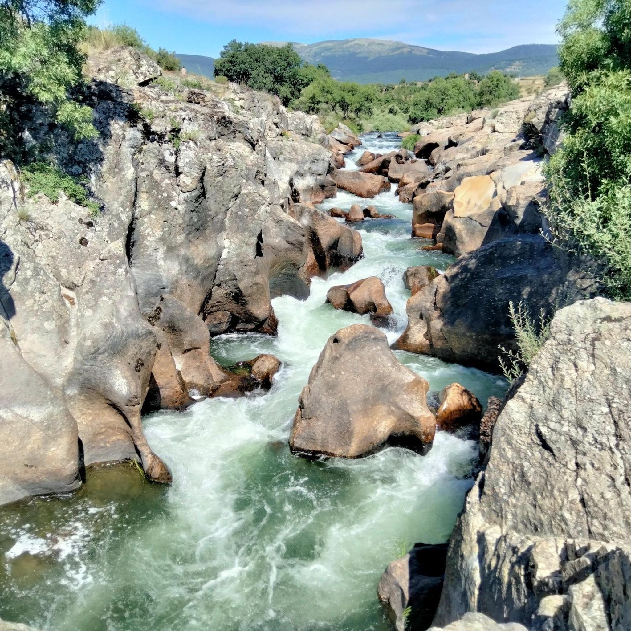
El Villar Reservoir and Gorge
Highlight • Gorge
Translated by Google •
Tip by

Nevero Peak
Highlight • Summit
Translated by Google •
Tip by

Puerto de Linera
Highlight • Mountain Pass
Translated by Google •
Tip by

Sign up for free to discover even more attractions around Gargantilla Del Lozoya Y Pinilla De Buitrago.
Sign up for free
Already have an account?
Start today with a free account
Your next adventure awaits.
Login or Signup
Popular around Gargantilla Del Lozoya Y Pinilla De Buitrago
Road Cycling Routes around Gargantilla Del Lozoya Y Pinilla De Buitrago
Cycling around Gargantilla Del Lozoya Y Pinilla De Buitrago
Hiking around Gargantilla Del Lozoya Y Pinilla De Buitrago
MTB Trails around Gargantilla Del Lozoya Y Pinilla De Buitrago

Gravel biking around Gargantilla Del Lozoya Y Pinilla De Buitrago
Running Trails around Gargantilla Del Lozoya Y Pinilla De Buitrago
Tips from the Community

This large pine forest is located within the municipality of Canencia and is easily accessible via forest tracks from the Canencia Pass, coming from the south (Miraflores de la Sierra and Madrid) or from the north (Canencia in the Lozoya Valley). It can also be reached via a longer approach from the M-611 road through the Collado del Hontanar pass (1,731 m).
1
0

highest peak of the Carpetanos Mountains, beautiful
0
0
Pico del Nevero, the highest of the Carpetanos Mountains, with beautiful views.
0
0

Port suitable for beginners who want to get in shape
0
0

Another port in Los Montes Carpetanos for the passage between the provinces of Madrid and Segovia.
0
0
Last winter of 2023, Pico Nevero lost its Geodesic, which detached itself from the cement landmark on which it was located and rolled through the ice and snow about 50 meters below. + R.I.P. + the Pico Nevero Geodesic.
0
0

From Puerto Linera, at 1834m altitude, you can see part of the Lozoya Valley, the Cabrera mountain range, highlighting the Pico de la Miel, the Riosequillo reservoir, Buitrado and Villavieja. Behind us is the province of Segovia, where we can see, among others, the town of Matabuena. The name "linera" is perhaps due to the large amount of linen that was sold from the Buitrago region to the towns of Pedraza and surrounding areas. The port has a cairn of stones much larger than those that delimit the terms, since, according to tradition, it was customary to throw a stone every time you passed from one side to the other to make it more visible when there was snow, blizzards or fog. , and prevent passers-by from getting lost.
0
0

This forest of birch, yew, pine and holly, located near the port of Canencia, is home to the source of the Sestil del Maíllo stream. Without a doubt, the perfect place for a walk at any time of the year, with easy access from Bustarviejo or the port itself.
1
0
Frequently Asked Questions
What are some of the most popular natural attractions in the area?
The region boasts several highly-rated natural attractions. Visitors particularly enjoy the Canencia Pass, known for its incredible landscape and pleasant ascent. Another must-see is the El Villar Reservoir and Gorge, offering spectacular views and serving as an ideal viewpoint over the Lozoya river gorges. The Mojonavalle Forest, with its dense Scots pine forest, provides fantastic panoramic views of the Canencia valley and the Lozoya river basin.
Are there any historical or cultural landmarks to visit?
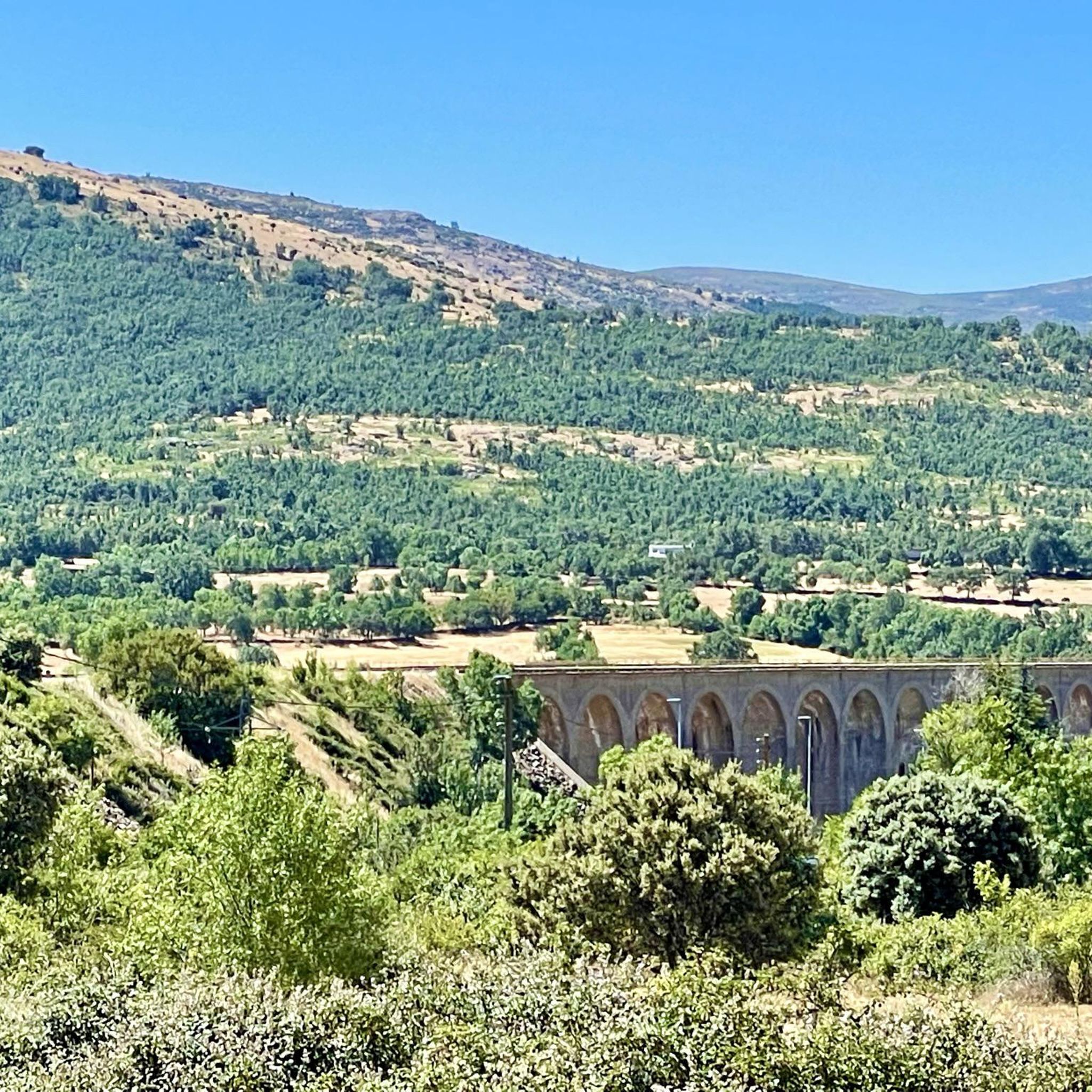
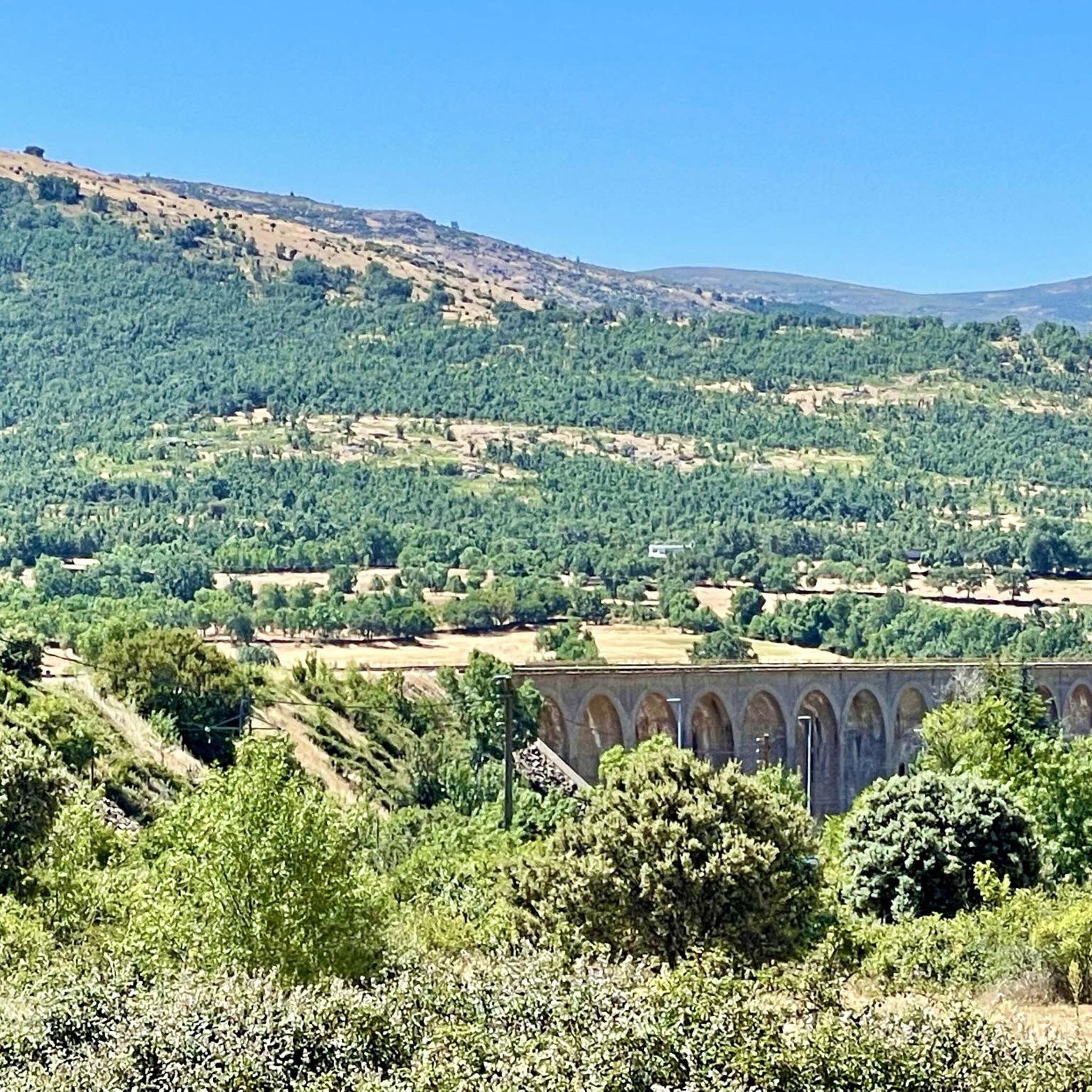
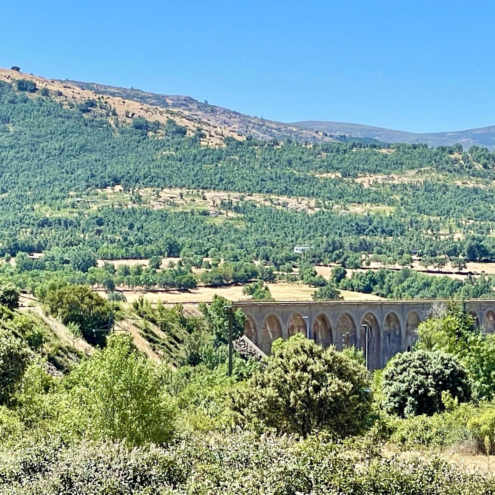
Yes, the area is rich in history. You can explore the picturesque Ermita de Santiago, a significant historical and cultural landmark protected since 2018, known for its Mudejar pointed arch. The region also features traditional architecture, including old forges and shoeing stocks, reflecting its rural heritage. Additionally, the disused Viaduct of the old Madrid-Burgos railway, an emblematic curved structure, is now used for bungee jumping.
What kind of outdoor activities can I do around Gargantilla del Lozoya y Pinilla de Buitrago?
The region is perfect for outdoor enthusiasts. You can enjoy extensive hiking and cycling routes that crisscross the municipality. For more adventurous activities, local companies offer multi-adventure sports like paragliding, zip-lining, and zorbing. Horse riding services are also available, including lessons and guided routes. You can find detailed routes for various sports in our guides, such as MTB Trails, Gravel Biking, and Road Cycling Routes.
Are there family-friendly attractions or activities?
Absolutely! The Mojonavalle Forest is ideal for family walks at any time of the year, offering easy access and beautiful scenery. The El Villar Reservoir and Gorge also offers spectacular views and is suitable for families to enjoy the natural surroundings. The Chorreras de Navafría, with its crystal-clear waters and fresh air, is another excellent spot for family outdoor activities.
What is the best time of year to visit Gargantilla del Lozoya y Pinilla de Buitrago?
The region offers appeal throughout the year. The Mojonavalle Forest is suitable for walks in all seasons. While the area is beautiful year-round, spring and autumn offer pleasant temperatures for hiking and cycling. Winter can bring snow, especially at higher elevations like Puerto de Linera, offering a different kind of scenic beauty for those prepared for colder conditions.
Where can I find challenging hiking trails with rewarding views?
For a challenging hike with spectacular views, consider ascending Nevero Peak. At 2,209 meters, the climb is rewarding, offering impressive panoramas over the Lozoya Valley and the surrounding mountains. The path can be quite steep, making it a good option for experienced hikers. Another option is the Vuelta al Cerro de la Cruz, a more challenging route that provides incredible views of the Lozoya Valley, reaching over 1,400 meters and bordering the Pinilla reservoir.
Are there any specific routes for cycling enthusiasts?
Yes, the area is popular with cyclists. The ascent to Canencia Pass is considered one of the most pleasant climbs in the Sierra de Guadarrama, with slopes that are not overly steep. You can find numerous routes for different cycling disciplines, including road cycling, gravel biking, and mountain biking. Explore our dedicated guides for Road Cycling Routes around the area.
What kind of wildlife can I expect to see?
The diverse natural environment of Gargantilla del Lozoya y Pinilla de Buitrago supports a variety of wildlife. You might spot rabbits, partridges, hares, wild boars, and deer. Birdwatchers can look out for storks and a wide array of other bird species that inhabit the lush vegetation and river areas.
What do visitors enjoy most about the natural landscapes here?
Visitors frequently praise the stunning vistas and the tranquility of the natural landscapes. The views from mountain passes like Puerto de Linera, which overlooks the Lozoya Valley and the Cabrera mountain range, are particularly appreciated. The well-preserved dams, such as the El Villar Reservoir, also offer amazing views and are popular spots for photography and relaxation.
Are there any historical walking paths in the region?
Yes, the area features historical walking paths that connect you with its past. El Camino del Cartero (The Postman's Path) is an emblematic historical trail that once linked Rascafría with Buitrago. Another significant route is the Ruta de Juana la Beltraneja, which connects Gargantilla with Pinilla, passing through ancient hermitages and historical bridges, and extending towards Buitrago.
What are the main natural features that define the landscape?
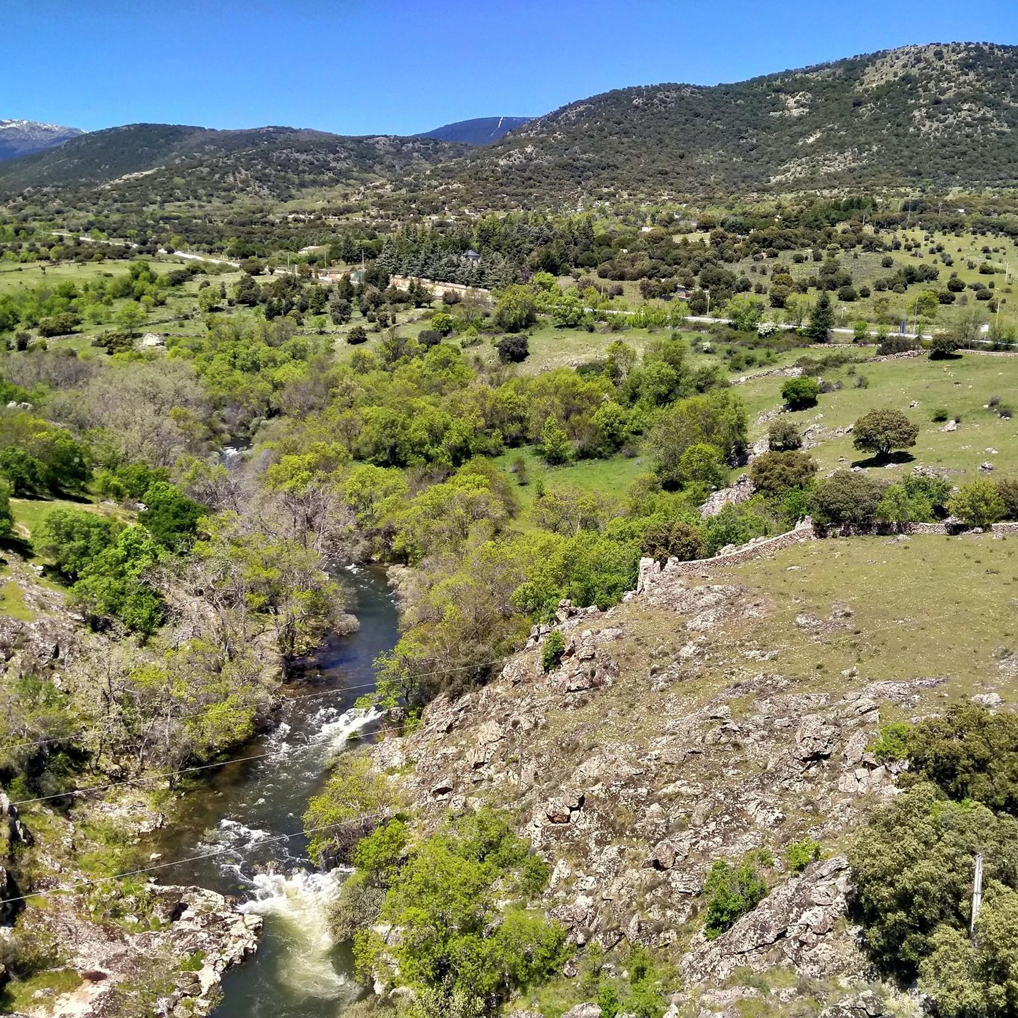
The landscape is primarily defined by the Lozoya River and its numerous crystal-clear streams, which flow through a diverse environment of lush vegetation including oaks, ash trees, holm oaks, and natural meadows. The municipality is nestled at the foot of the Carpetanos Mountains and the Somosierra mountain range, offering a privileged natural setting with prominent features like the Valle del Lozoya and the Presa de la Pinilla (Pinilla Dam).
Most popular routes around Gargantilla Del Lozoya Y Pinilla De Buitrago
Most popular attractions around Gargantilla Del Lozoya Y Pinilla De Buitrago

Get inspired with the komoot mobile app


Explore more
Still not found the Highlight you’re looking for? See guides of the top attractions in other regions:
