The best running trails around Chinchilla De Monte-Aragón
3.5
(2)
266
runners
33
runs
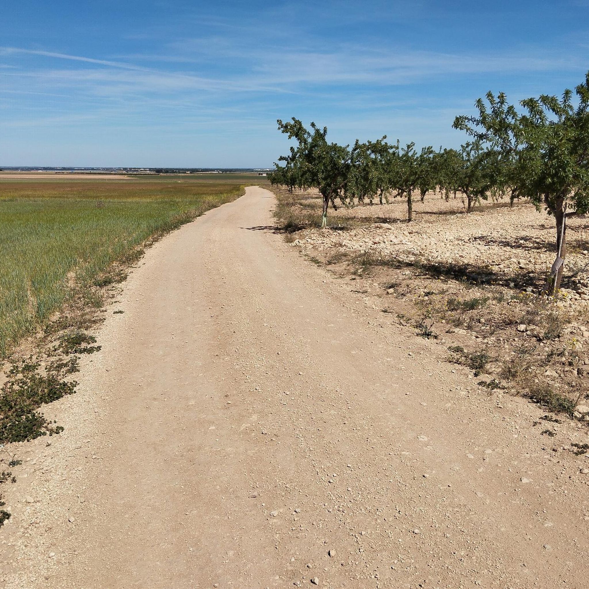
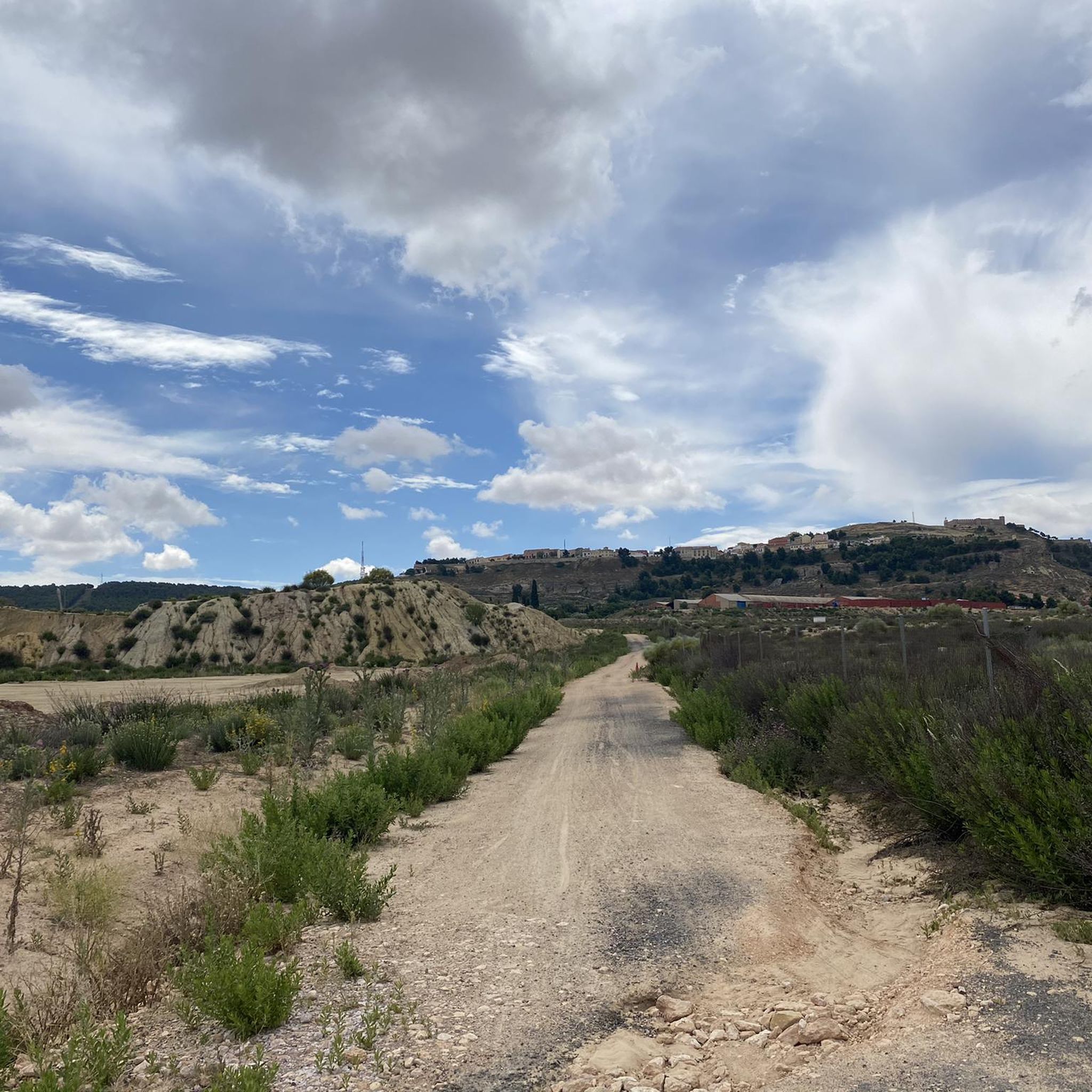
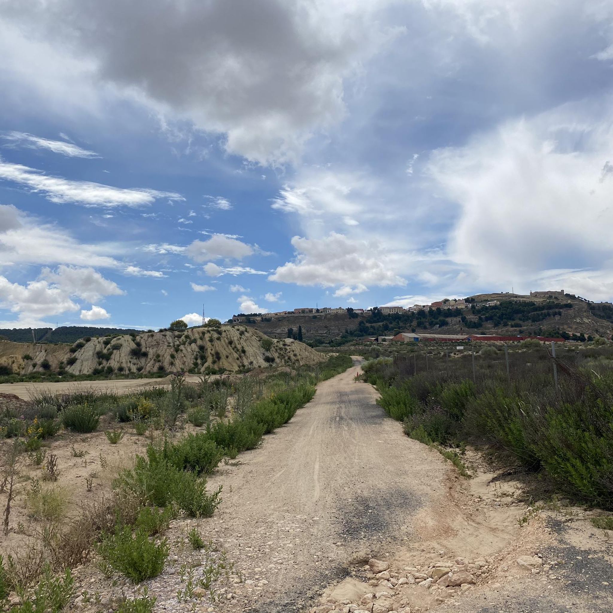
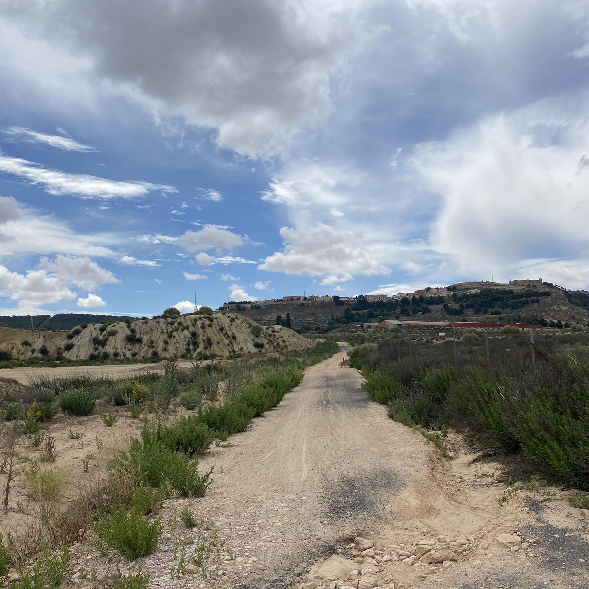
Jogging around Chinchilla de Monte-Aragón offers varied terrain across its natural landscapes. The region is characterized by the Sierra Procomunal, a mountain range providing diverse trails, and the prominent San Blas Hill, which rises to 897 meters above sea level. Expansive pine forests and the wide-open La Mancha plain contribute to the varied running experiences available. These features create a mix of natural inclines, declines, and flatter sections for runners.
Best jogging routes around Chinchilla de Monte-Aragón
- The most popular…
Last updated: July 7, 2026
5
runners
Moderate run. Good fitness required. Mostly paved surfaces. Suitable for all skill levels.
2
runners
10.1km
01:12
250m
250m
Jog this moderate 6.3-mile loop around Chinchilla de Monte-Aragón, gaining 818 feet in elevation while exploring historic landmarks and scen

Sign up for free
33
runners
Hard run. Very good fitness required. Mostly accessible paths. Some sure footedness required.
19
runners
Hard run. Very good fitness required. Mostly accessible paths. Some sure footedness required.
4.0
(1)
13
runners
Moderate run. Good fitness required. Mostly paved surfaces. Suitable for all skill levels.
Get access to more routes and recommendations from other explorers.
Sign up for free
Already have an account?
Our route recommendations are based on thousands of hikes, rides, and runs completed by other people on komoot.
Start today with a free account
Your next adventure awaits.
Login or Signup
Popular around Chinchilla De Monte-Aragón


Other adventures around Chinchilla De Monte-Aragón

Tips from the Community

The Sierra Procomunal is a publicly owned mountain located to the east of the Spanish city of Albacete, between the municipalities of Chinchilla de Montearagón, Higueruela and Hoya Gonzalo.
11
0

Chinchilla de Monte-Aragón has been inhabited by various cultures, such as the Romans, the Visigoths and the Arabs. During the Middle Ages, the town had great strategic importance due to its position on the route between Valencia and Toledo. Its impressive castle is worth a visit.
2
0

City nestled in the hill of San Blas. If you have time for a walk, do not hesitate to visit its castle (one of the best preserved from the period) to enjoy the impressive views of the Manchegan plain, and its famous cave-houses declared a Historic-Artistic Site.
2
0
The cave houses are one of the architectural peculiarities of Chinchilla. They are built on the slopes of the hills that surround the city and are carved into the rock. They are characterized by being cool in summer and warm in winter. Some of these cave houses have been converted into tourist accommodation, allowing visitors to experience cave house life first hand.
1
0
Chinchilla de Monte-Aragón has been inhabited by various cultures, such as the Romans, the Visigoths and the Arabs. During the Middle Ages, the town had great strategic importance due to its position on the route between Valencia and Toledo. Its impressive castle is worth a visit.
1
0
The Sierra Procomunal is a mountain range that extends for about 30 kilometers and reaches a maximum height of 1,542 meters at the Almenara peak.
2
0
A route with good views.
1
0
The castle was built during the Muslim era in the 10th century, on the remains of an earlier Roman fortification. During the Middle Ages, the castle was enlarged and reinforced by the Christians, becoming an important fortress that controlled the passage between the Kingdom of Valencia and the Kingdom of Castile. The castle is the scene of many cultural events and festivals throughout the year, such as the Chinchilla Medieval Festival, which takes place in August.
2
0
Frequently Asked Questions
What types of terrain can I expect on the running routes around Chinchilla de Monte-Aragón?
The region offers a diverse range of terrains. You'll find varied trails within the Sierra Procomunal, natural inclines and declines around the prominent San Blas Hill, and flatter sections across the expansive La Mancha plain. The area also features scenic pine forests, providing a mix of surfaces for your run.
Are there any easy or beginner-friendly running paths in the area?
While many routes are moderate, the trails around the castle on San Blas hill are generally well-maintained and suitable for various fitness levels, including families. For a moderate option, consider the Route through the Sierra Procomunal — circular from Chinchilla de Monte-Aragón, which is 8.0 miles (12.9 km) long.
What historical landmarks or natural attractions can I see while jogging?
Many routes offer views of significant landmarks. The 15th-century Chinchilla Castle, dominating San Blas Hill, is a focal point, offering breathtaking views. You might also encounter the town's medieval layout with its ancient fortifications, or explore the unique flora of the Sierra Procomunal, including local endemic plant species.
Are there any circular running routes available?
Yes, several routes are circular. A popular choice is the Route through the Sierra Procomunal — circular from Chinchilla de Monte-Aragón, which is a moderate 8.0-mile (12.9 km) trail. Another option is the Sierra Procomunal – View of the Sierra Procomunal loop from Chinchilla de Montearagón, a more challenging 8.4-mile (13.6 km) loop.
What do other runners say about the trails in Chinchilla de Monte-Aragón?
The running routes in Chinchilla de Monte-Aragón are highly rated by the komoot community, with an average score of 3.5 stars. Over 280 runners have used komoot to explore the varied terrain, often praising the diverse landscapes and the opportunity to combine historical exploration with outdoor activity.
Can I bring my dog on the running trails?
While specific regulations for each trail may vary, many natural areas in Spain are generally dog-friendly, especially if your dog is kept on a leash. It's always a good idea to check local signage or specific route details for any restrictions before heading out with your pet.
Are there routes suitable for families with children?
Yes, the trails around the historic Chinchilla Castle on San Blas Hill are often suitable for various fitness levels, including families. These paths offer a chance to combine a refreshing jog with exploring the town's rich history and enjoying panoramic views.
What is the best time of year for jogging in Chinchilla de Monte-Aragón?
The region experiences a Mediterranean climate. Spring and autumn generally offer the most pleasant temperatures for outdoor activities like jogging, with milder weather. Summers can be hot, and winters can be cooler, so plan accordingly and check the forecast.
Are there any routes that are part of the Camino de Santiago?
Yes, Chinchilla de Monte-Aragón is part of a Camino de Santiago loop. You can experience this on the Chinchilla de Monte-Aragón: Camino de Santiago Loop, a moderate 6.3-mile (10.1 km) path that offers dedicated sections for running.
Where can I find parking near the running routes?
Parking is generally available within or on the outskirts of Chinchilla de Monte-Aragón, especially near popular starting points for trails leading into the Sierra Procomunal or towards San Blas Hill. It's advisable to check local maps or specific route descriptions for the most convenient parking areas.
What are the elevation changes like on the running routes?
The routes offer varied elevation profiles. For instance, the Chinchilla de Monte-Aragón: Camino de Santiago Loop has an elevation gain of approximately 249 meters. The prominent San Blas Hill provides natural inclines and declines, while the La Mancha plain offers flatter sections, allowing you to choose routes based on your desired challenge.
Are there any unique natural features to look out for?
Beyond the dramatic landscapes of the Sierra Procomunal and San Blas Hill, keep an eye out for the local flora, including repopulations of Aleppo pine and other gymnosperms like stone pine and juniper. The region is also home to unique plant species such as the Mugrón raindrop and Mugrón genista, adding botanical interest to your run.
Most popular routes around Chinchilla De Monte-Aragón
Most popular attractions around Chinchilla De Monte-Aragón

Get inspired with the komoot mobile app


Explore more
Browse the best Running Trails & Routes in other regions.
