The best walks and hikes around Chinchilla De Monte-Aragón
4.3
(112)
228
hikers
29
hikes
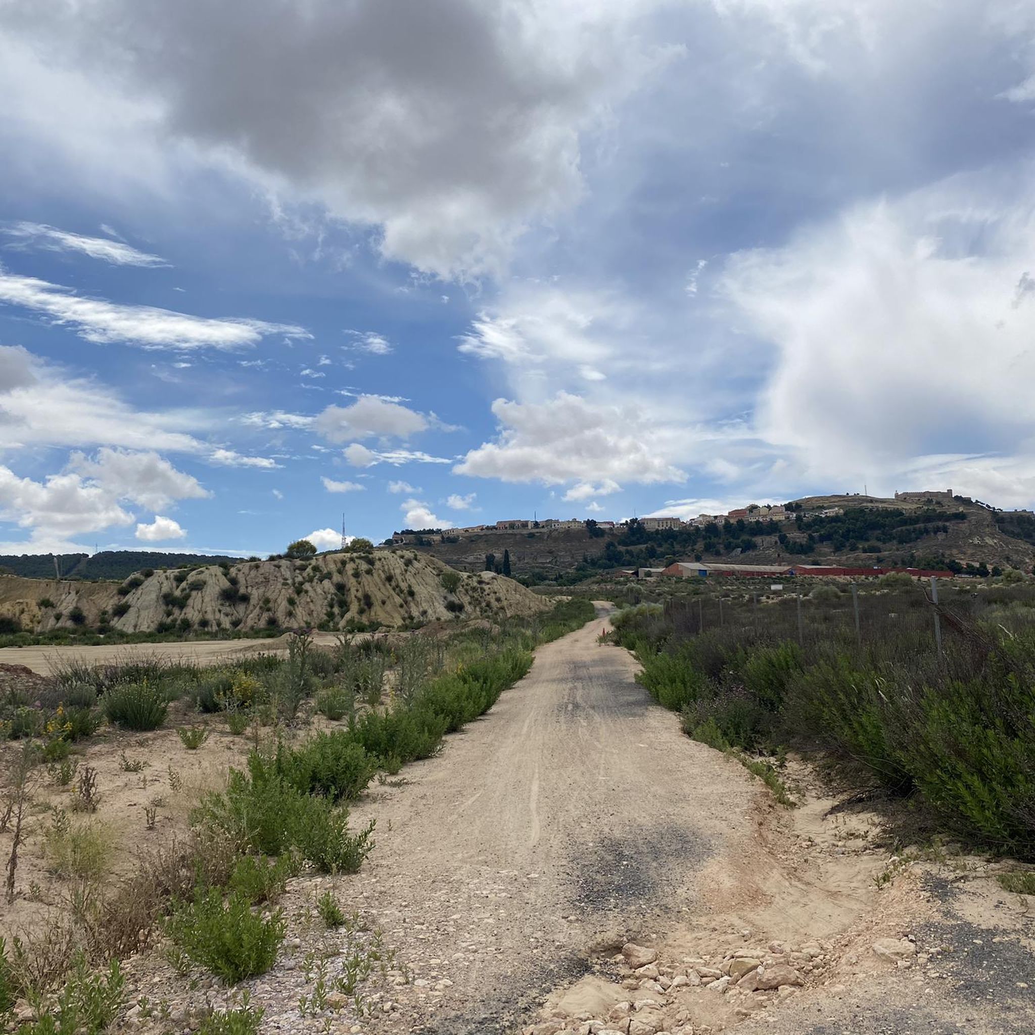
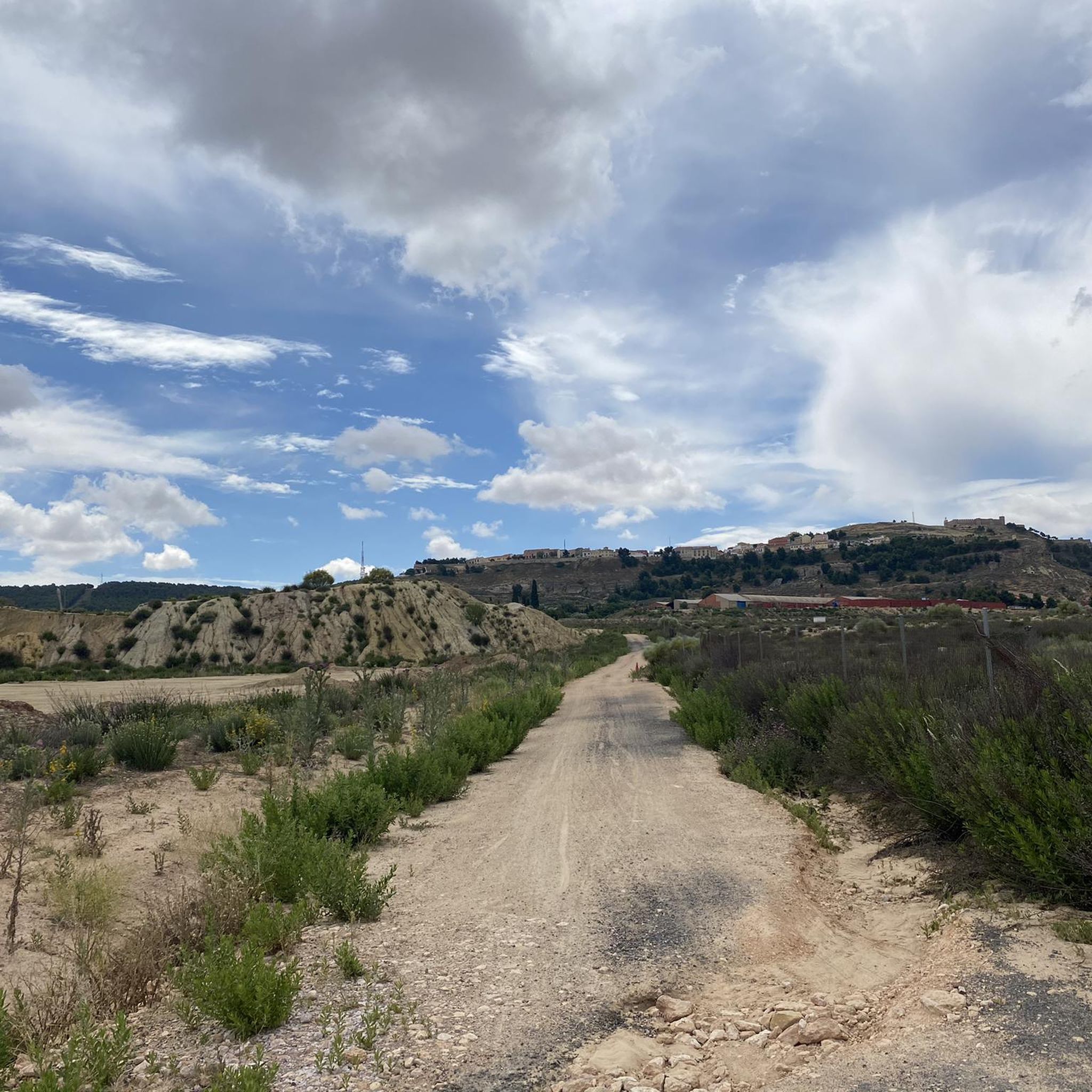
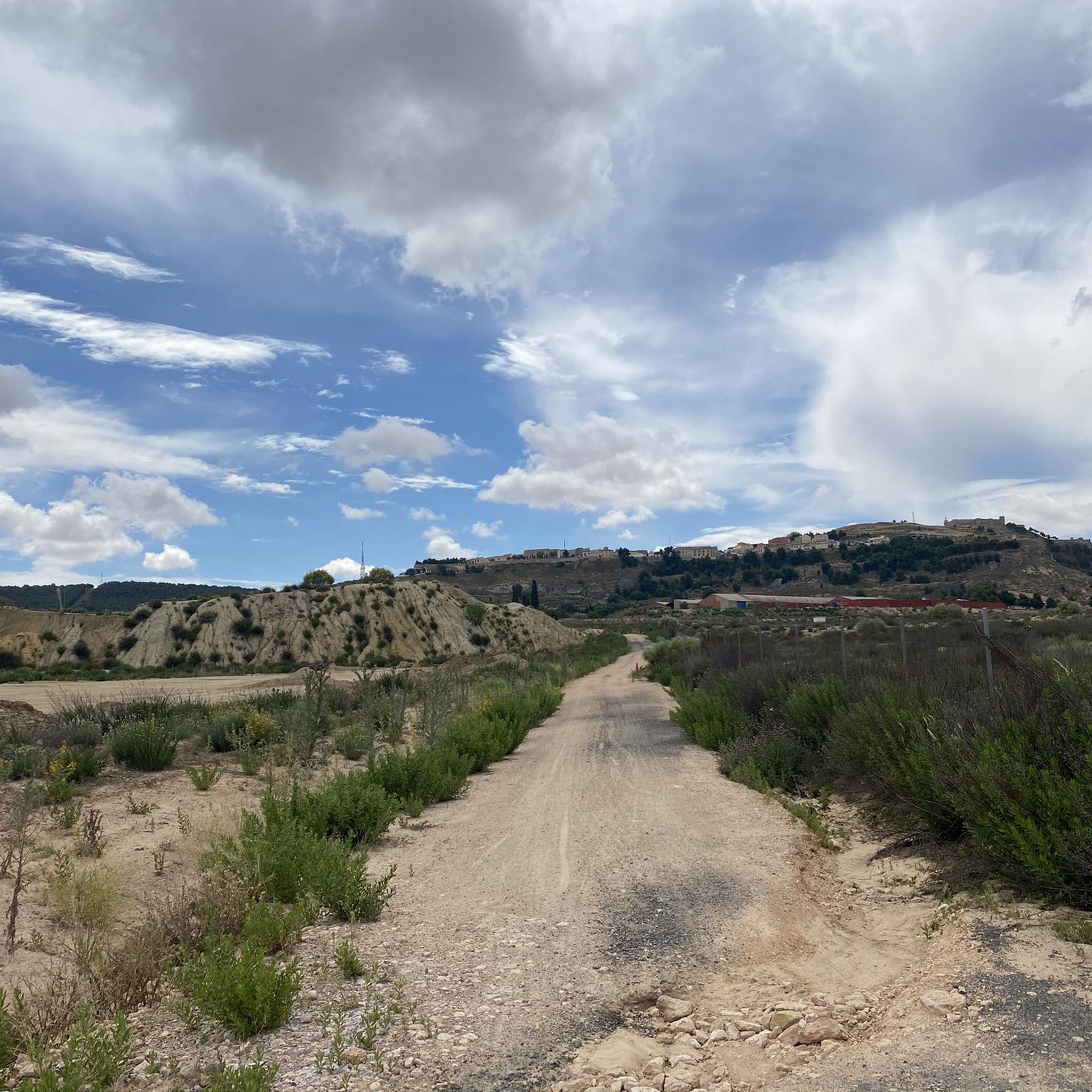
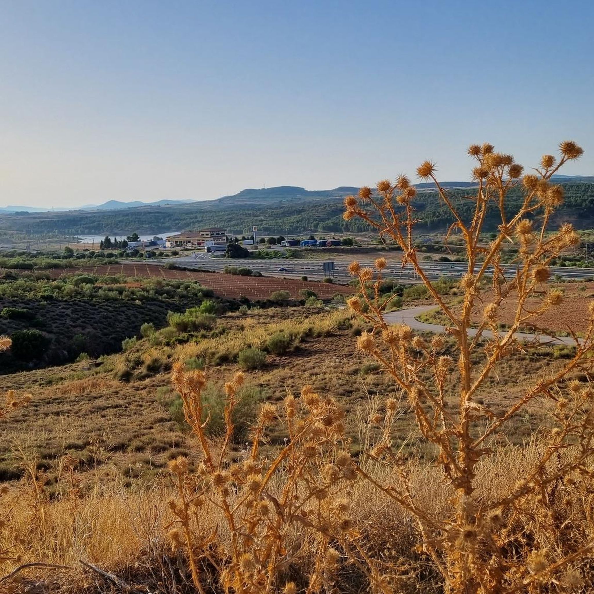
Hiking around Chinchilla De Monte-Aragón offers diverse terrain within the province of Albacete, Spain. The region is characterized by high plains (páramos) ranging from 700 to over 1000 meters above sea level, featuring unique plant species and repopulations of Aleppo pine, stone pine, and juniper. Trails often provide views of the historic Chinchilla de Montearagón Castle, situated on a hill overlooking the La Mancha plain. This area combines natural features with historical landmarks for outdoor exploration.
Best hiking trails around…
Last updated: July 7, 2026
4.3
(3)
16
hikers
7.34km
02:01
120m
120m
Moderate hike. Good fitness required. Easily-accessible paths. Suitable for all skill levels.
4.8
(4)
20
hikers
13.1km
03:38
230m
230m
Moderate hike. Good fitness required. Easily-accessible paths. Suitable for all skill levels.

Sign up for free
4.5
(4)
12
hikers
Moderate hike. Good fitness required. Easily-accessible paths. Suitable for all skill levels.
3
hikers
5.84km
01:42
160m
160m
Easy hike. Great for any fitness level. Easily-accessible paths. Suitable for all skill levels.
2
hikers
Moderate hike. Good fitness required. Easily-accessible paths. Suitable for all skill levels.
Get access to more routes and recommendations from other explorers.
Sign up for free
Already have an account?
Our route recommendations are based on thousands of hikes, rides, and runs completed by other people on komoot.
Start today with a free account
Your next adventure awaits.
Login or Signup
Popular around Chinchilla De Monte-Aragón


Other adventures around Chinchilla De Monte-Aragón

Tips from the Community


It is a very fun and recommended section. Although it is somewhat technical, it is not too technical and is affordable for all levels
1
1

This rectangular square is surrounded by the buttresses, the apse and the tower of the Archpriest Church of Santa María del Salvador. Upon accessing it through the Villa Arch, guarded by two castle cannons, visitors find an architecturally configured space. Plaza de la Mancha is a space full of history and vitality that is worth visiting if you ever find yourself in Chinchilla de Montearagón. 🌟
2
0

A very beautiful and interesting population.
0
0
The Sierra Procomunal is a publicly owned mountain located to the east of the Spanish city of Albacete, between the municipalities of Chinchilla de Montearagón, Higueruela and Hoya Gonzalo.
11
0

Lovely narrow path that goes through the pines. Please note that the path is also used by cyclists.
1
0
Beautiful narrow path with great views of Chinchilla.
2
0
Chinchilla de Monte-Aragón has been inhabited by various cultures, such as the Romans, the Visigoths and the Arabs. During the Middle Ages, the town had great strategic importance due to its position on the route between Valencia and Toledo. Its impressive castle is worth a visit.
2
0
Frequently Asked Questions
How many hiking trails are available in Chinchilla De Monte-Aragón?
There are over 25 hiking routes in Chinchilla De Monte-Aragón, offering a variety of experiences for different skill levels. You'll find a good mix of easy, moderate, and a few more challenging options.
What kind of terrain can I expect on the hiking trails in Chinchilla De Monte-Aragón?
The terrain around Chinchilla De Monte-Aragón is quite diverse. You'll traverse high plains (páramos) ranging from 700 to over 1000 meters above sea level, featuring unique plant species. Some routes, like the Senda del Peligro and Chinchilla Viewpoints Loop, include small cliffs and continuous ascents and descents, while others offer more gentle paths through Aleppo pine forests.
Are there any family-friendly hiking options in Chinchilla De Monte-Aragón?
Yes, Chinchilla De Monte-Aragón offers several family-friendly trails. The area around the historic Chinchilla de Monte-Aragón Castle, for instance, features well-maintained paths suitable for families. Shorter circular routes, such as the Loop through the town and sierra, are also great for a family outing.
Can I bring my dog on the hiking trails?
Many trails in Chinchilla De Monte-Aragón are dog-friendly, especially those around the castle and through the natural areas. Always ensure your dog is on a leash and that you follow local regulations regarding pets in natural spaces.
Are there circular hiking routes available?
Yes, many of the hiking routes in Chinchilla De Monte-Aragón are circular, allowing you to start and end in the same location. Examples include the popular Sierra Procomunal Loop and the Barrio de Triana, Camino de La Raposa, Senda de los miradores del Tejar route.
What are the typical lengths of hiking trails in this region?
Hiking trails in Chinchilla De Monte-Aragón vary in length. You can find shorter routes around 5-7 km, such as the Loop through the town and sierra (5.8 km), up to longer, more challenging options like the Sierra Procomunal y Bosque del Buho, which is about 14 km.
What natural features or landmarks can I see while hiking?
Hikers can enjoy stunning views of the La Mancha plain and the impressive Chinchilla de Monte-Aragón Castle from many trails. The Sierra Procomunal is home to unique plant species, including endemic varieties. You might also encounter the magical 'Bosque de las Palabras' (Forest of Words) along some routes, featuring totems with anonymous messages.
Are there good viewpoints along the trails?
Absolutely. Many routes are designed to offer rewarding vistas. The Senda del Peligro and Chinchilla Viewpoints Loop, for example, is specifically known for its natural viewpoints providing panoramic views of Chinchilla and its castle.
What do other hikers say about the trails in Chinchilla De Monte-Aragón?
The trails in Chinchilla De Monte-Aragón are highly rated by the komoot community, with an average score of 4.4 stars from over 100 reviews. Hikers often praise the diverse terrain, the historical landmarks, and the beautiful views of the castle and surrounding plains.
What is the best time of year to go hiking in Chinchilla De Monte-Aragón?
Chinchilla De Monte-Aragón offers pleasant hiking conditions for much of the year. Spring and autumn generally provide the most comfortable temperatures for exploring the high plains and historic town. Summers can be hot, so early morning or late afternoon hikes are recommended, while winters are typically mild but can be chilly.
Are there any easy hiking trails for beginners?
Yes, there are several easy trails suitable for beginners or those looking for a more relaxed walk. For instance, the Loop through the town and sierra of Chinchilla de Mont Aragon is a shorter, easier circular route with a moderate elevation gain.
What should I wear for hiking in Chinchilla De Monte-Aragón?
Given the varied terrain and potential for sun exposure, it's advisable to wear comfortable hiking shoes with good grip, layered clothing suitable for the season, and bring sun protection like a hat and sunscreen. Always carry enough water, especially on longer routes or during warmer months.
Most popular routes around Chinchilla De Monte-Aragón
Most popular attractions around Chinchilla De Monte-Aragón

Get inspired with the komoot mobile app


Explore more
Browse the best Hikes in other regions.
