The 9 Most Amazing Peaks around Montitxelvo / Montichelvo
Mountain peaks around Montitxelvo / Montichelvo offer diverse natural landscapes and hiking opportunities within the Valencian Community. The region features notable peaks such as Penyes Albes, a Municipal Natural Park with ecological and historical significance, and Tossal de la Creueta, known for its panoramic views. These areas provide varied terrain for exploration, from moderate trails to more challenging ascents. The local geography includes parts of the Prebetic anticline and the Albaida Valley.
Best mountain peaks around Montitxelvo / Montichelvo
- The…
Last updated: July 12, 2026
View of Alt de Benicadell
Highlight • Summit
Translated by Google •
Tip by

Cim de la Safor (1,013 m)
Highlight • Summit
Translated by Google •
Tip by

Sign up now to discover places like this
Get recommendations on the best single tracks, peaks, & plenty of other exciting outdoor places.
Sign up for free
Penyagolosa Cross (Petal Gros Summit)
Highlight • Summit
Translated by Google •
Tip by

Views of Benicadell
Highlight • Viewpoint
Translated by Google •
Tip by

Beautiful views of Benicadell
Highlight • Summit
Translated by Google •
Tip by

Sign up for free to discover even more peaks around Montitxelvo / Montichelvo.
Sign up for free
Already have an account?
Start today with a free account
Your next adventure awaits.
Login or Signup
Popular around Montitxelvo / Montichelvo
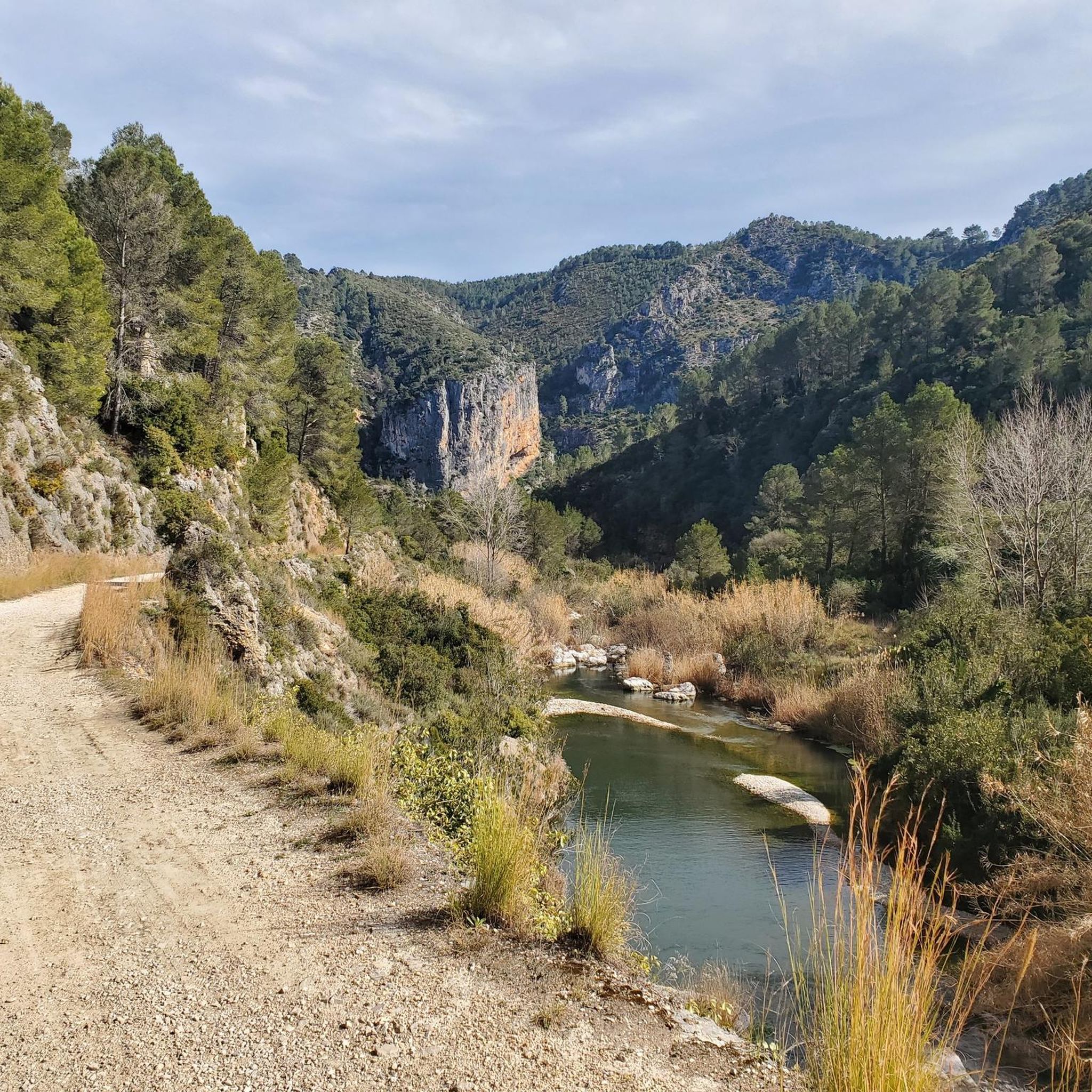

Tips from the Community

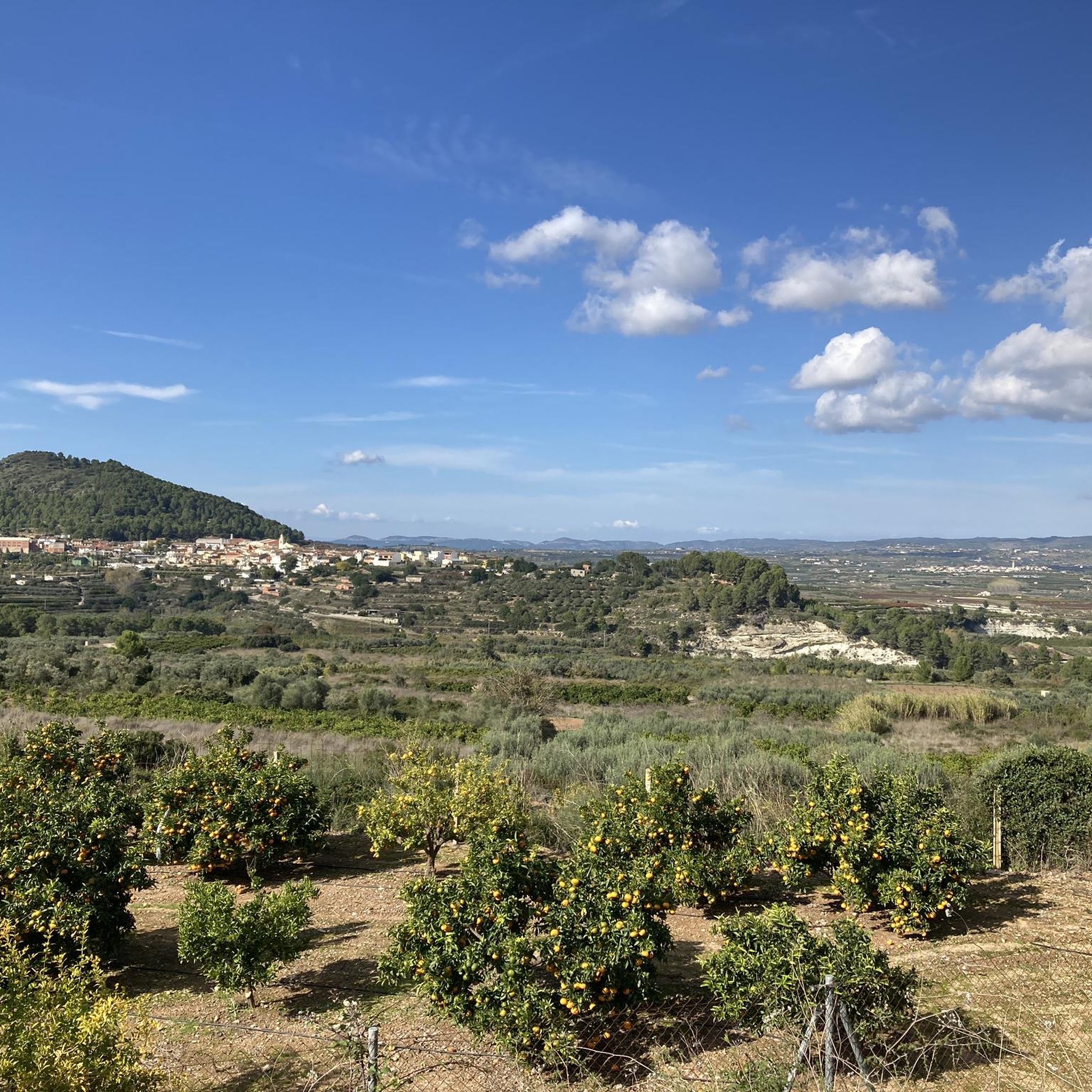
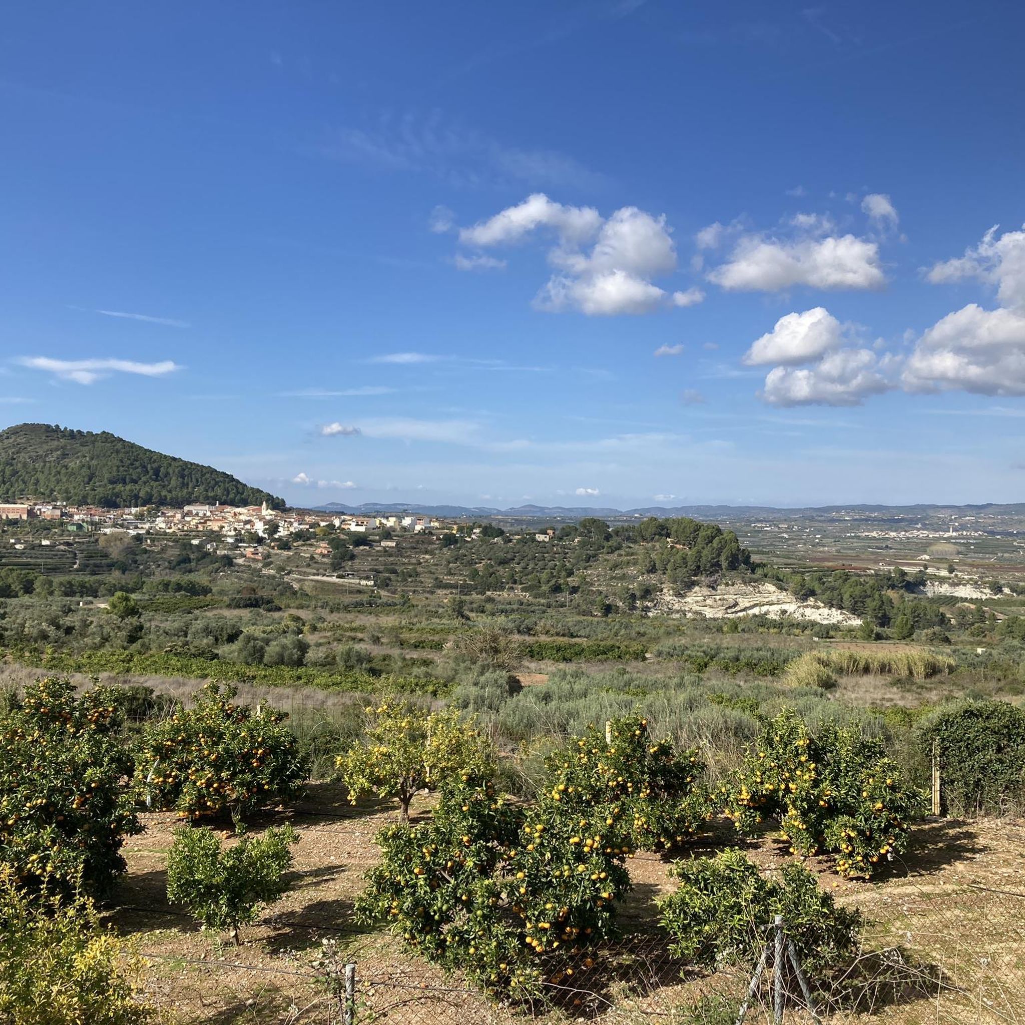
There are several points along this route from which you can admire the impressive silhouette of the Benicadell massif. The Alt de Benicadell, with a height of 1,105 metres, is a prominent peak in the Sierra de Benicadell, which forms a natural border between the provinces of Valencia and Alicante. The region around the Benicadell offers numerous opportunities for cycling tours that lead through varied landscapes with impressive views.
5
0

From the TOP of the mountain one can have great view of La SAFOR and MARINA ALTA areas (nice view of Gandia and Oliva towns). Unfortunately, due to very rich vegetation (high trees) it is not possible to enjoy a 360 degree view similar to option which one has by hiking up Montuver mountain. Short video about this hike could be found under the following link: https://www.youtube.com/watch?v=j-mfyWy6RzQ
1
0

Place from which you have the most spectacular views of this incredible mountain.
1
0

One of the best views of the route that goes from Benissili Castle to La Foradà.
1
0

Steep climb. Will be rewarded with a great view
1
0
The Benicadell accompanies the cyclist during the ascent and descent of the mountain pass between Castelló de Rugat and Beniarrés.
2
0
El Benicadell is the highest peak (1,104 m) of the mountain range of the same name. It is a mountainous wall that separates the Valencian regions of the Vall d'Albaida and the County. With a Betic (external Prebetic specifically) direction from north-east to south-west, the characteristic peak of Benicadell has the form of a rocky ridge of calcareous lithology that gives uniqueness to the landscape.
1
0

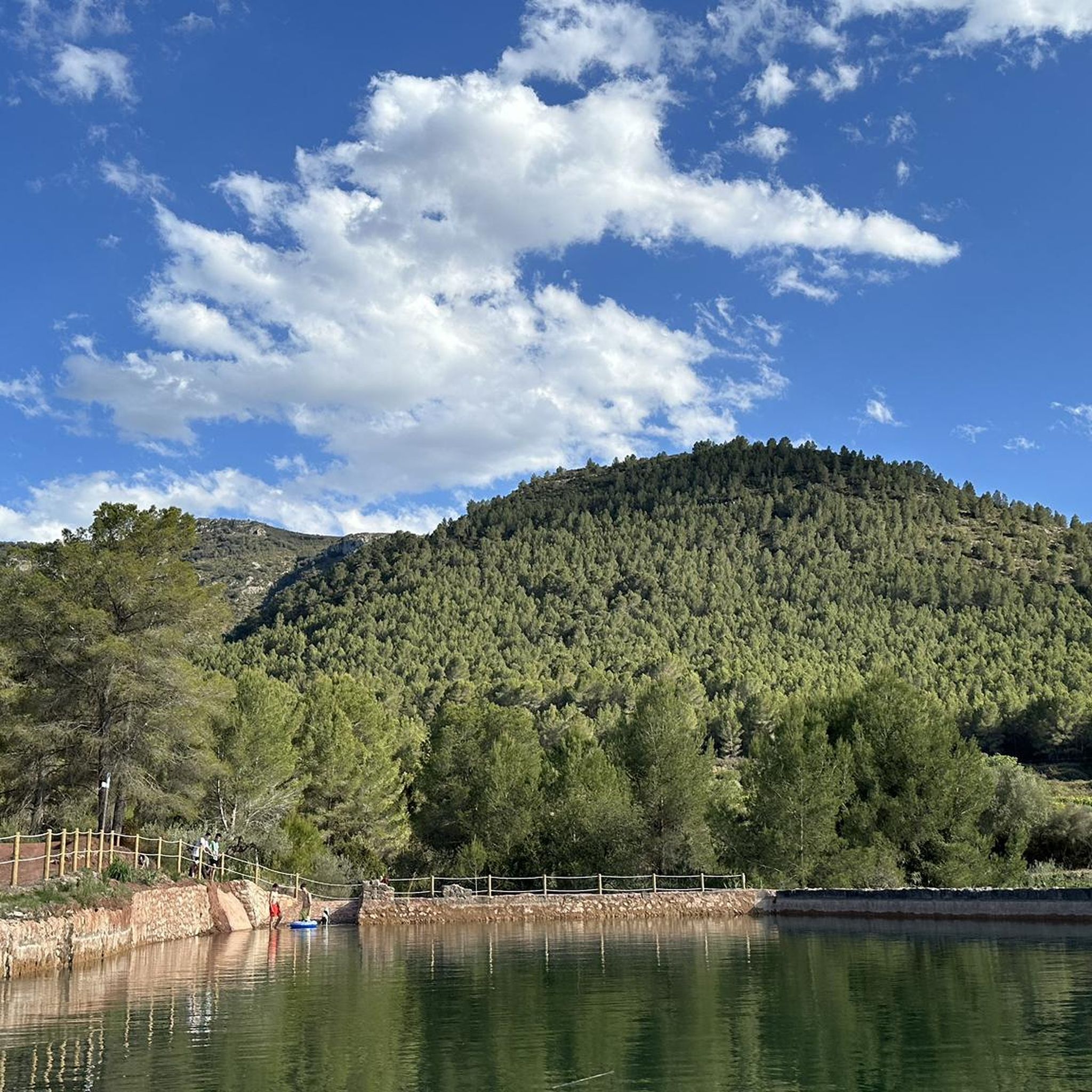
Very nice views of both Benicadell and the reservoir. Both on one side and the other you can ride on good roads and appreciate beautiful views
3
0
Frequently Asked Questions
What are some of the most popular mountain peaks and viewpoints to visit around Montitxelvo / Montichelvo?
Visitors frequently enjoy the panoramic vistas from Penyagolosa Cross (Petal Gros Summit), which offers stunning views of steep walls and is considered one of the best viewpoints on the route from Benissili Castle to La Foradà. Another favorite is Views of Benicadell, providing spectacular sights of the Benicadell mountain and its surrounding reservoir.
Are there any mountain peaks with significant natural or ecological importance in the area?
Yes, Penyes Albes is recognized as a Municipal Natural Park, highlighting its ecological significance. Standing at 664 meters, it boasts significant botanical value, including rare and threatened endemic flora, and is home to various protected species of amphibians and reptiles. It's an excellent spot for nature enthusiasts.
Which peaks offer the best panoramic views of the region?
For breathtaking panoramic views, the Tossal de la Creueta, also known as Mirador de la Creueta, is highly recommended. From its geodesic vertex at 395 meters, you can see the expansive Albaida Valley and, on clear days, towns like Benicolet, Benigánim, Llutxent, Quatretonda, and La Pobla del Duc, as well as the peak of Sierra del Benicadell. Another great option is Cim de la Safor (1,013 m), which provides views of the La Safor and Marina Alta areas, including Gandia and Oliva.
Are there any mountain peaks with historical or archaeological interest?
Yes, Penyes Albes offers more than just natural beauty. It holds historical interest with two archaeological sites, the Cova del Racó Tancat and the Cova Fosca, as well as elements of ethnological heritage, providing a rich experience beyond just the ascent.
What kind of hiking trails can I find near these mountain peaks?
The region offers a variety of hiking trails. For example, you can explore the moderate Penyes Albes Trail, a loop offering around 228 meters (750 feet) of elevation gain. For a shorter, accessible route to a viewpoint, consider the SL-CV 83 MIRADOR DE LA CREUETA trail leading to Tossal de la Creueta. For more challenging options, the ascent to Cim de la Safor (1,013 m) involves a steep climb, rewarding hikers with great views.
Are there any family-friendly hiking options around Montitxelvo / Montichelvo's peaks?
While specific 'family-friendly' categories aren't always listed, trails described as 'moderate' or 'accessible' are generally suitable for families. The Penyes Albes Trail is a moderate loop, and the initial path to the Ermita del Salvador near Tossal de la Creueta is generally easy, making these good options for families looking for enjoyable outdoor experiences.
What other outdoor activities can I do near the mountain peaks?
Beyond hiking, the area around Montitxelvo / Montichelvo offers diverse outdoor activities. You can find numerous running trails, such as the 'Corpus Christi Convent loop from Llutxent' or the 'Biotop – Penyes Llúcies loop from Rugat'. For cyclists, there are road cycling routes like the 'Puerto de l'Orxa - Alpatro – Port de Salem and Beniarrés loop from Llutxent', and challenging MTB trails including the 'Serra de Quatretonda and El Surar Loop'. You can find more details on these activities in the Running Trails, Road Cycling Routes, and MTB Trails guides for the region.
What do visitors enjoy most about the mountain peaks around Montitxelvo / Montichelvo?
Visitors particularly appreciate the spectacular and impressive views offered by various peaks and viewpoints. Many highlight the rewarding feeling after a steep climb, the diverse natural landscapes, and the opportunity to combine hiking with exploring historical and ecological sites. The komoot community has given the area 12 upvotes and shared 8 photos, reflecting a positive experience.
Are there any challenging mountain climbs for experienced hikers?
Yes, for experienced hikers seeking a challenge, the ascent to Cim de la Safor (1,013 m) is known for its steep climb. Another challenging option is exploring the area around Beautiful views of Benicadell, which is the highest peak of its mountain range and features a characteristic rocky ridge.
Where can I find excellent views of the Benicadell massif?
You can find excellent views of the impressive Benicadell massif from several points. View of Alt de Benicadell offers an excellent perspective, especially when driving downhill from Salem via Beniarrés to Gaianes. Another great spot is Views of Benicadell, which provides spectacular sights of the mountain and the surrounding reservoir.
What is the best time to visit the mountain peaks in Montitxelvo / Montichelvo?
While specific seasonal data isn't provided, generally, the best times for hiking in the Valencian Community are spring (March to May) and autumn (September to November). During these periods, the weather is typically milder, avoiding the intense heat of summer and the cooler, potentially wetter conditions of winter, making for more comfortable and enjoyable outdoor exploration.
Most popular routes around Montitxelvo / Montichelvo
Most popular attractions around Montitxelvo / Montichelvo

Get inspired with the komoot mobile app


Explore more
See even more amazing summits around Montitxelvo / Montichelvo with these guides:
