The best running trails around Montitxelvo / Montichelvo
4.7
(6)
813
runners
47
runs
Jogging around Montitxelvo / Montichelvo offers diverse natural landscapes and a network of well-suited routes. The region features varied terrain, from the historical Serpis Greenway, an old railway line with unpaved sections, to elevated areas like Peñas Alba. Natural water features, including the Ruta del Agua with its aqueduct and spring, contribute to the scenic environment. This combination of natural beauty and historical elements creates an engaging setting for running.
Best jogging routes around Montitxelvo / Montichelvo
- The most popular…
Last updated: July 8, 2026
21
runners
19.8km
02:14
410m
420m
Hard run. Very good fitness required. Mostly paved surfaces. Suitable for all skill levels.
19
runners
6.39km
00:41
110m
100m
Moderate run. Good fitness required. Mostly paved surfaces. Suitable for all skill levels.

Sign up for free
16
runners
7.50km
01:04
250m
250m
Hard run. Good fitness required. Sure-footedness, sturdy shoes and alpine experience required.
6
runners
16.7km
02:40
740m
740m
Hard run. Very good fitness required. Sure-footedness, sturdy shoes and alpine experience required.
3
runners
9.32km
01:30
390m
390m
Hard run. Very good fitness required. Sure-footedness, sturdy shoes and alpine experience required.
Get access to more routes and recommendations from other explorers.
Sign up for free
Already have an account?
Our route recommendations are based on thousands of hikes, rides, and runs completed by other people on komoot.
Start today with a free account
Your next adventure awaits.
Login or Signup
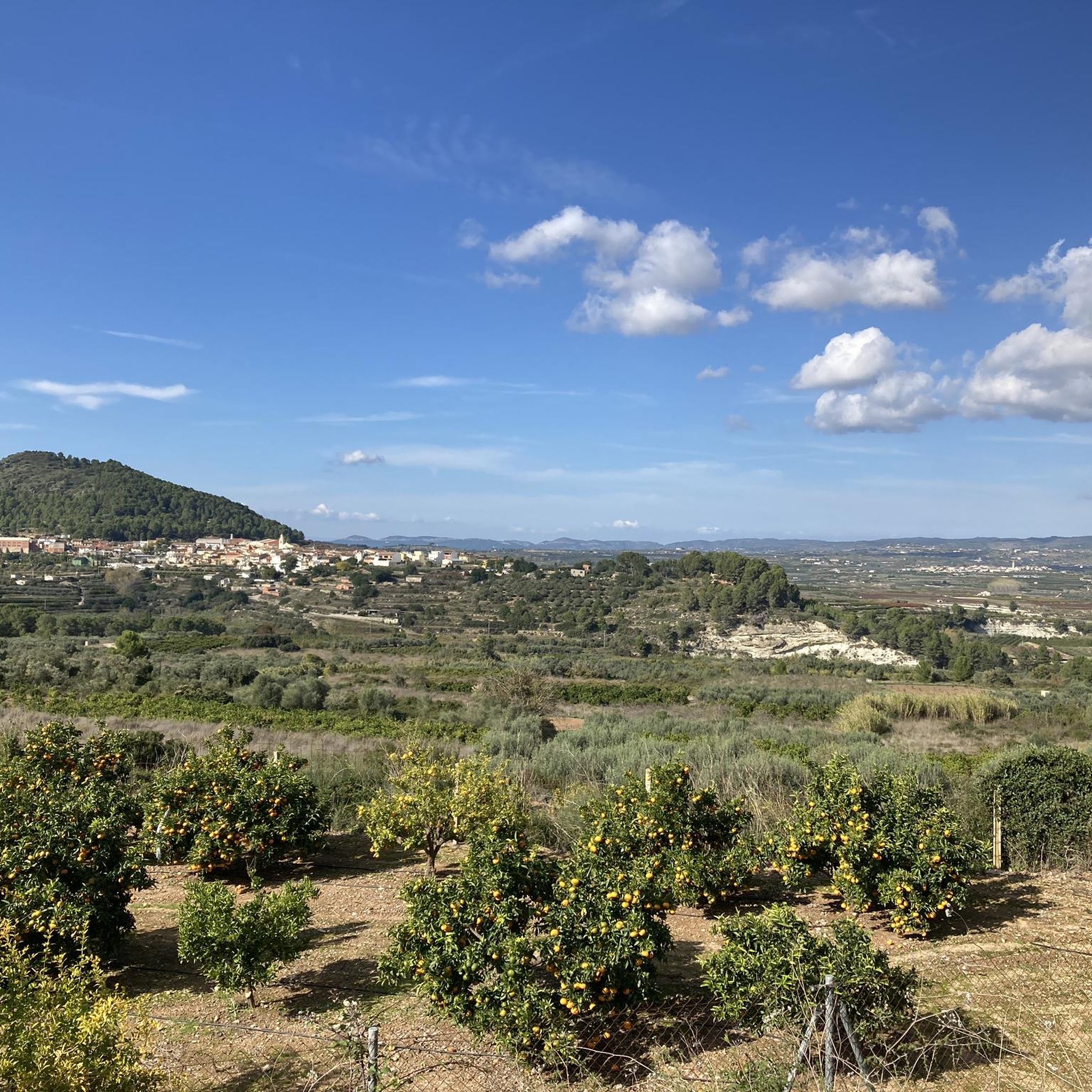
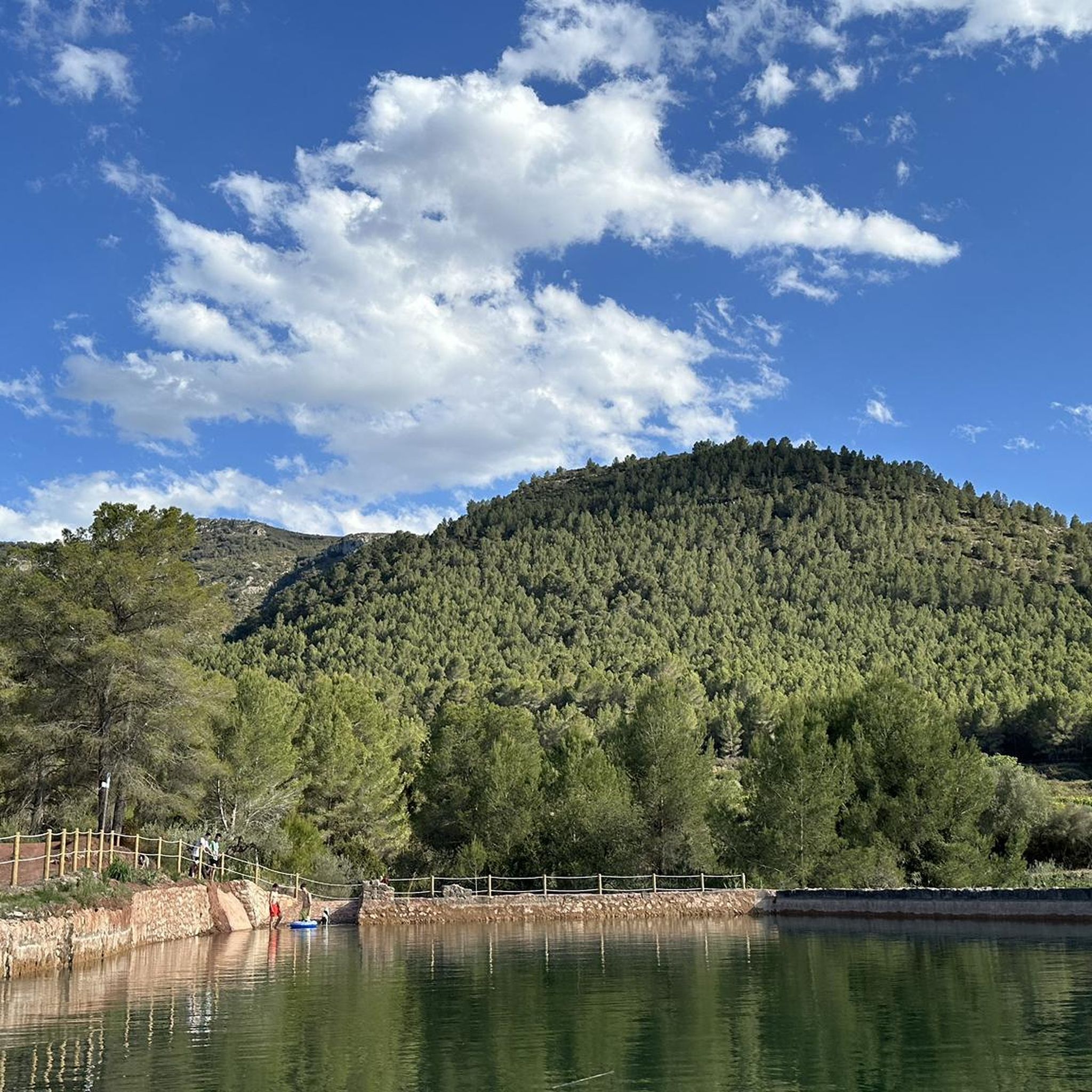
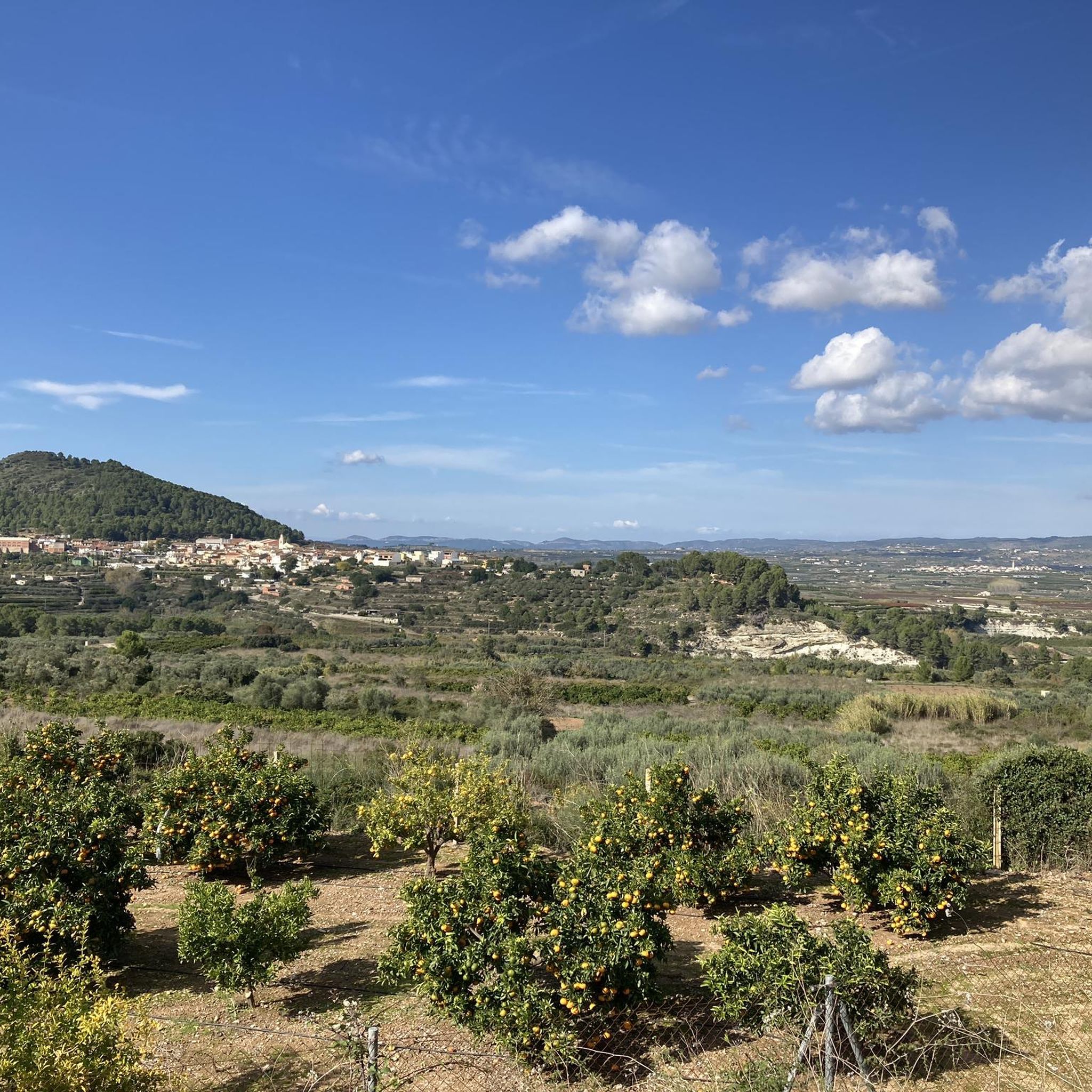
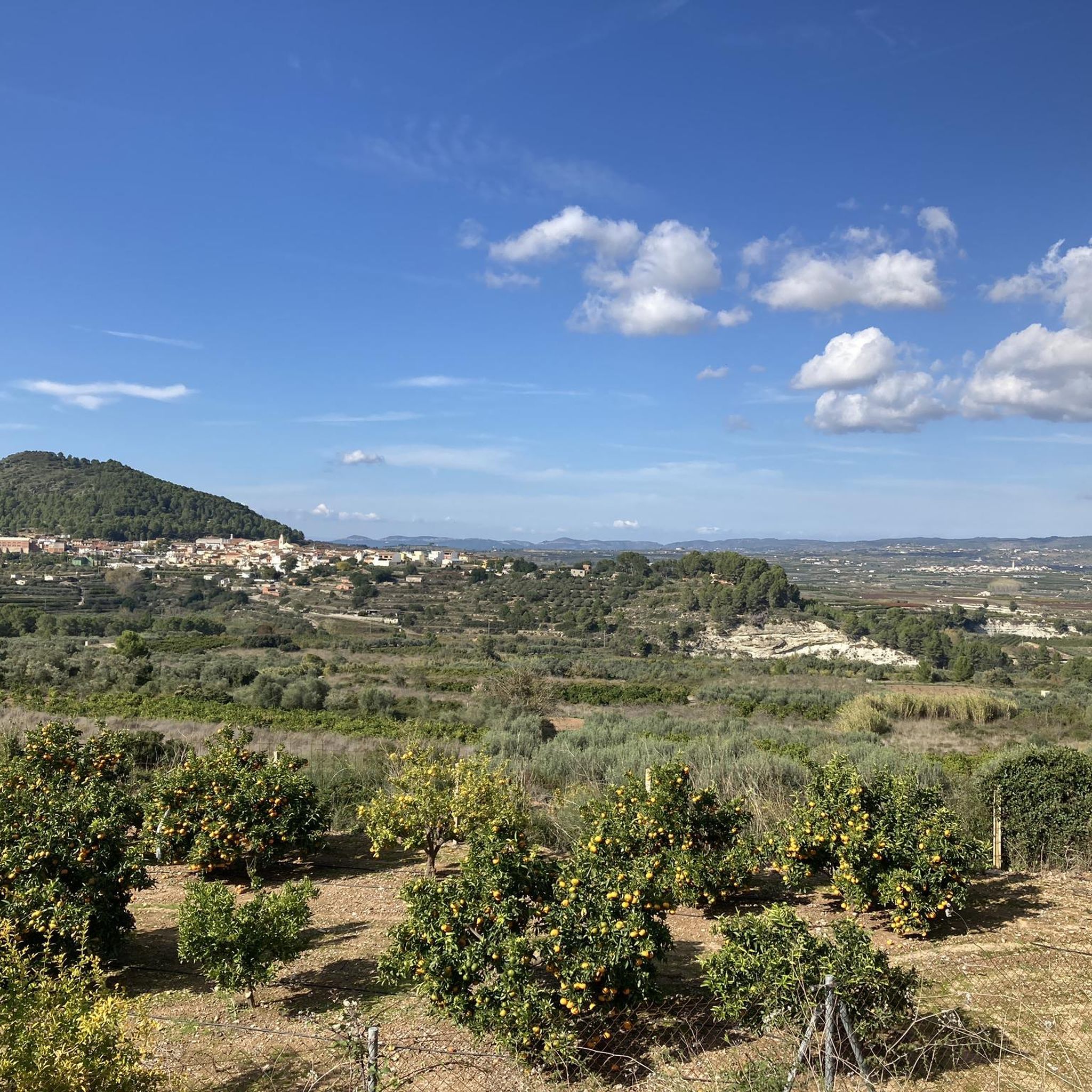

Tips from the Community

Incredibly beautiful scenery. The path is mostly gravel and you should have decent tires.
3
1

A really colorful stage in which the stretch that separates Villalonga from Lorxa crosses a valley along the Serpis river, the old railway line that connected the towns of Gandía and Alcoy.
2
1
Via Verde cycle path for tourists and locals as an attraction.
2
1

The yellow and white markings of the PR-43 are old in some sections and the paint is somewhat blurred. It is important to follow the track and be aware of the route on the rocky ground. The area at the end is somewhat confusing due to the trees, but the summit is close and at the end the geodesic vertex appears between the holm oaks. The most suggestive views are towards the coast and the horizon of the Mediterranean. The exit from the top is directly to the north, although it is a bit scary because of the slope and the slippery ground. The path is clear, slightly slopes the slope of the mountain and goes down to Pla de la Nevera, where the Nevera de la Safor is, an old traditional construction to store snow during the winter. In the meadow there is a post with indications of the trails. The route follows the direction of L'Orxa and Font dels Olbits along the PR-43. The path passes the entrance to Avenc del Manco and goes up a small hill to leave the Pla de la Nevera hollow. The descent is long, technical and hard, the path has a lot of loose stones and in several sections it is quite steep. And from time to time different options appear but they all have the purpose of going down the mountain and they always come together again.
0
0

This is one of the most prized corners by the locals. A set of natural pools, connected to each other by small waterfalls that invite you to take a dip on scorching summer days.
2
0
The fountain is located right next to the path that goes down to the ravine, but you can also find a tap next to the paved path. Although, the water is not treated, you can use the bench and maybe cool off on hot days.
0
0

The Corpus Christi Monastery is located in the municipality of Llutxent and is a convent building that has its origins in a 13th century hermitage, expanded and renovated in later centuries. The whole is organized through a cloister, this on its south side has the chapter house, the cells and the refectory. The cloister has a square plan with two levels, the lower one articulated with arches between pilasters with capitals decorated with Eucharistic motifs. The Corpus Christi church is on the north side of the monastery cloister. It is a single-nave temple with a starry vault in the high choir. Next to the Epistle there are two annex chapels built in the 18th century, which are the chapel of the Holy Face and the one of the Communion, the latter has a Greek cross plan with a dome on shells.
1
0

One of the best preserved monasteries in the Valencian Community. It is part of the long-distance route GR-236 known as the Route of the Monasteries. A site very rich in its history and significance in the area that make it worth visiting.
3
0
Frequently Asked Questions
How many running routes are available around Montitxelvo / Montichelvo?
There are nearly 50 dedicated running routes around Montitxelvo / Montichelvo. These include a mix of moderate and challenging trails, offering diverse options for different fitness levels.
What types of terrain can I expect on the jogging trails in Montitxelvo / Montichelvo?
The region offers a varied landscape for running. You'll find paths along the historical Serpis Greenway, which features unpaved sections with gravel and uneven terrain, especially between L'Orxa and Mare de Déu. There are also elevated areas like Peñas Alba, reaching 664 meters, providing more challenging routes with rewarding views. The Ruta del Agua offers a pleasant journey through natural surroundings.
Are there any circular running routes in the Montitxelvo / Montichelvo area?
Yes, the region features several circular routes. A notable one is the Corpus Christi Convent loop from Llutxent, which is a moderate 6.4 km path. Another option is the Forn de calç loop from Llocnou de Sant Jeroni, a 7.5 km trail leading through varied terrain.
What are some scenic points of interest or landmarks I can see while running in Montitxelvo / Montichelvo?
Many routes offer scenic views and historical sights. Along the Ruta del Agua, you can discover a 15th-century aqueduct and an 18th-century flour mill, as well as a small waterfall. The Serpis Greenway features old railway stations, stone bridges, and tunnels. You might also encounter the Old Lorcha Railway Station, the Serpis River, or the Beniarrés Reservoir. For elevated views, consider routes near Peñas Alba.
Are there any challenging running routes for experienced runners?
Absolutely. Montitxelvo / Montichelvo is well-suited for experienced runners, with 35 out of 48 routes classified as difficult. For instance, the Running from Lorxa by the Vía Verde del Serpis is a demanding 19.8 km trail. Another challenging option is the Cim de la Safor loop from l'Orxa / Lorcha, covering 16.7 km with significant elevation changes.
What do other runners enjoy most about the trails in Montitxelvo / Montichelvo?
The running routes in Montitxelvo / Montichelvo are highly rated by the komoot community, with an average score of 4.8 stars from 8 reviews. Runners often praise the diverse natural landscapes, the historical elements along routes like the Serpis Greenway, and the variety of terrain that keeps runs engaging. Nearly 800 runners have used komoot to explore the area.
Are there any routes that feature water elements like waterfalls or rivers?
Yes, the region is known for its natural water features. The Ruta del Agua (Water Route) is a prime example, offering a pleasant journey through nature with a small waterfall where you can cool your feet. The Serpis River is also a prominent feature, with routes like the Serpis Greenway running alongside it.
Can I find routes that pass by historical structures or ruins?
Certainly. The area is rich in history. The Ruta del Agua features a 15th-century aqueduct and an 18th-century flour mill. The Serpis Greenway, built on an old railway line, includes historical railway stations, stone bridges, and tunnels. You can also find remnants of the Montitxelvo Castle-Palace, with one defensive tower still standing, offering a glimpse into the village's medieval past.
Are there any marked hiking trails that are also suitable for jogging?
Yes, the municipality has homologated specific hiking trails like "La Creueta" SL-CV83 and "La Ruta de l'Aigua" SL-CV84. These well-maintained and marked paths are suitable for various outdoor activities, including jogging, providing clear guidance and a pleasant experience.
What is the best season for running in Montitxelvo / Montichelvo?
Montitxelvo / Montichelvo offers good running conditions for much of the year due to its Mediterranean climate. Spring and autumn generally provide the most comfortable temperatures for outdoor activities. Summer can be warm, so early morning or late evening runs are advisable, especially on routes with shade or near water features like the Ruta del Agua.
Are there any routes that offer views from elevated points?
Yes, the natural landscape of Peñas Alba, reaching 664 meters above sea level, provides elevated terrain and routes that offer expansive views of the surrounding area. The Cim de la Safor loop from l'Orxa / Lorcha is an example of a route that takes you through higher elevations, promising rewarding vistas.
Are there any routes that are less crowded or considered 'hidden gems'?
While specific 'hidden gems' aren't explicitly listed, the region's diverse network of trails means you can often find quieter paths away from the most popular sections. Exploring routes like the Biotop – Penyes Llúcies loop from Rugat, which is a difficult 9.3 km trail, might offer a more secluded experience compared to the more frequented parts of the Serpis Greenway.
Most popular routes around Montitxelvo / Montichelvo
Most popular attractions around Montitxelvo / Montichelvo

Get inspired with the komoot mobile app


Explore more
Browse the best Running Trails & Routes in other regions.
