The 13 Most Amazing Peaks around Otero De Herreros
Best mountain peaks around Otero De Herreros are found within a municipality in the province of Segovia, Spain, characterized by its rolling hills and elevated terrain. The area offers numerous opportunities for outdoor activities, particularly hiking amidst its scenic landscapes. While specific named mountain peaks are not directly within Otero de Herreros, the region provides access to the wider Segovian mountain range, including parts of the Sierra de Guadarrama mountains. This elevated terrain offers a variety of hiking trails for…
Last updated: June 29, 2026
Majalasna Peak
Highlight • Summit
Translated by Google •
Tip by

Collado Ventoso
Highlight • Mountain Pass
Translated by Google •
Tip by

Sign up now to discover places like this
Get recommendations on the best single tracks, peaks, & plenty of other exciting outdoor places.
Sign up for free
Arcipreste de Hita Rock
Highlight • Natural Monument
Translated by Google •
Tip by

Peña del Oso (2,196 m)
Highlight • Summit
Translated by Google •
Tip by

Eagle Rock
Highlight • Summit
Translated by Google •
Tip by

Sign up for free to discover even more peaks around Otero De Herreros.
Sign up for free
Already have an account?
Start today with a free account
Your next adventure awaits.
Login or Signup
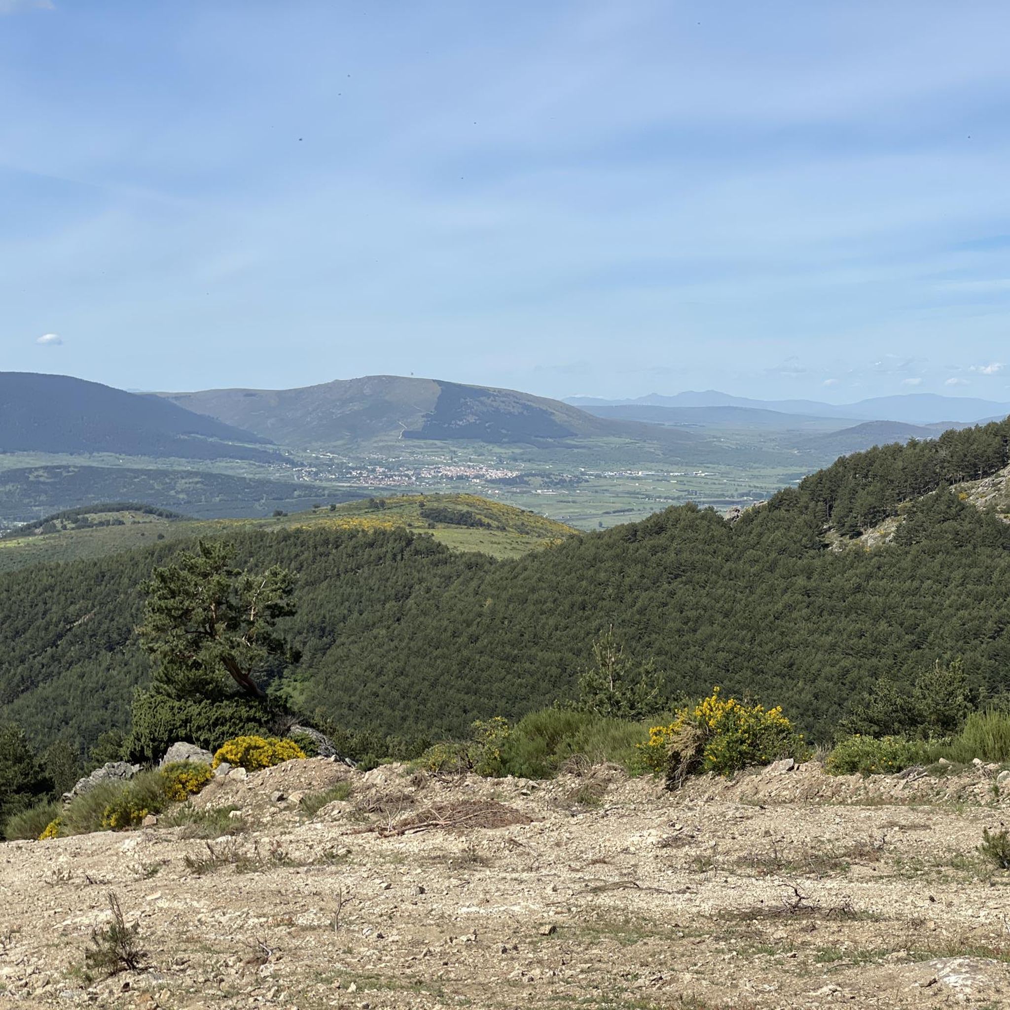
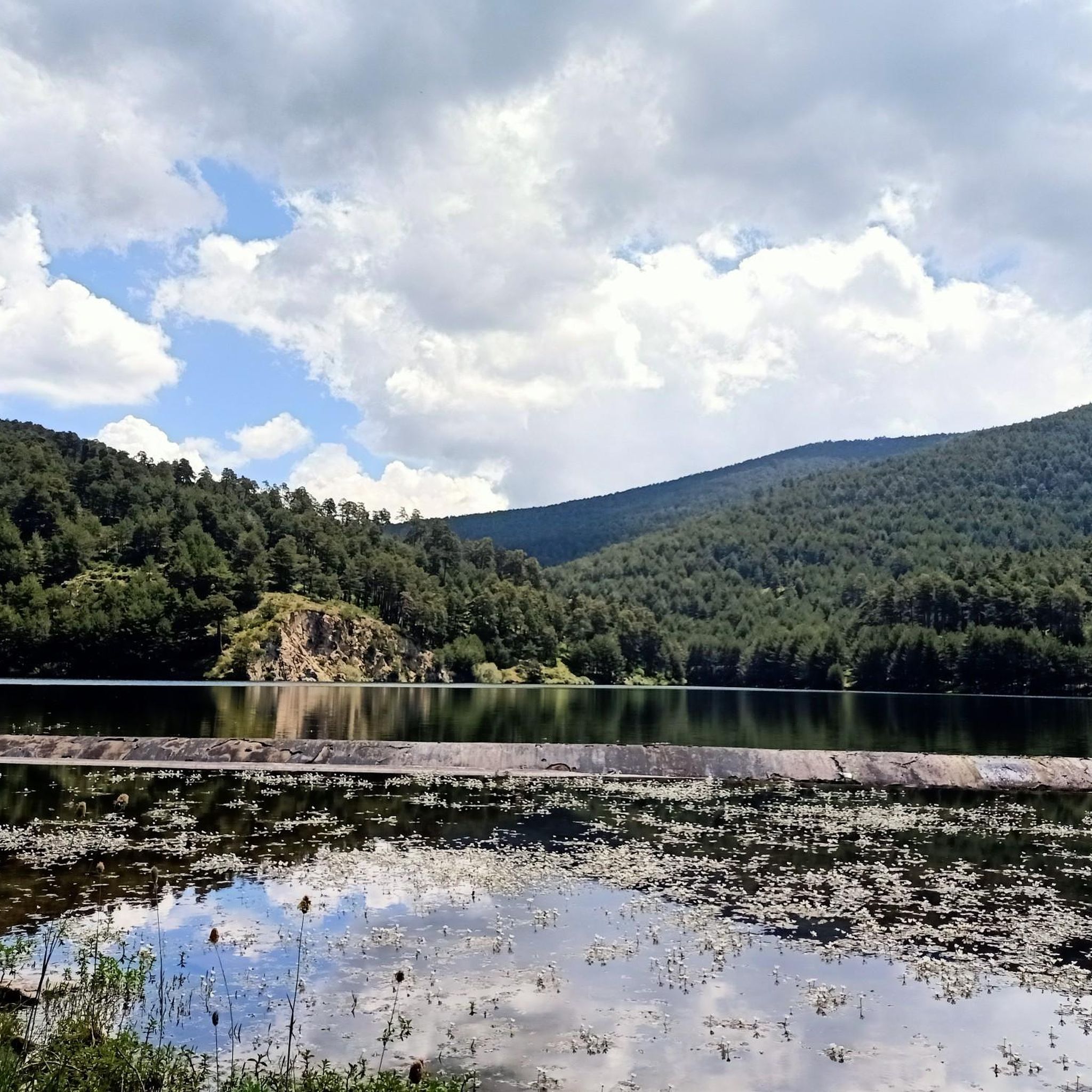
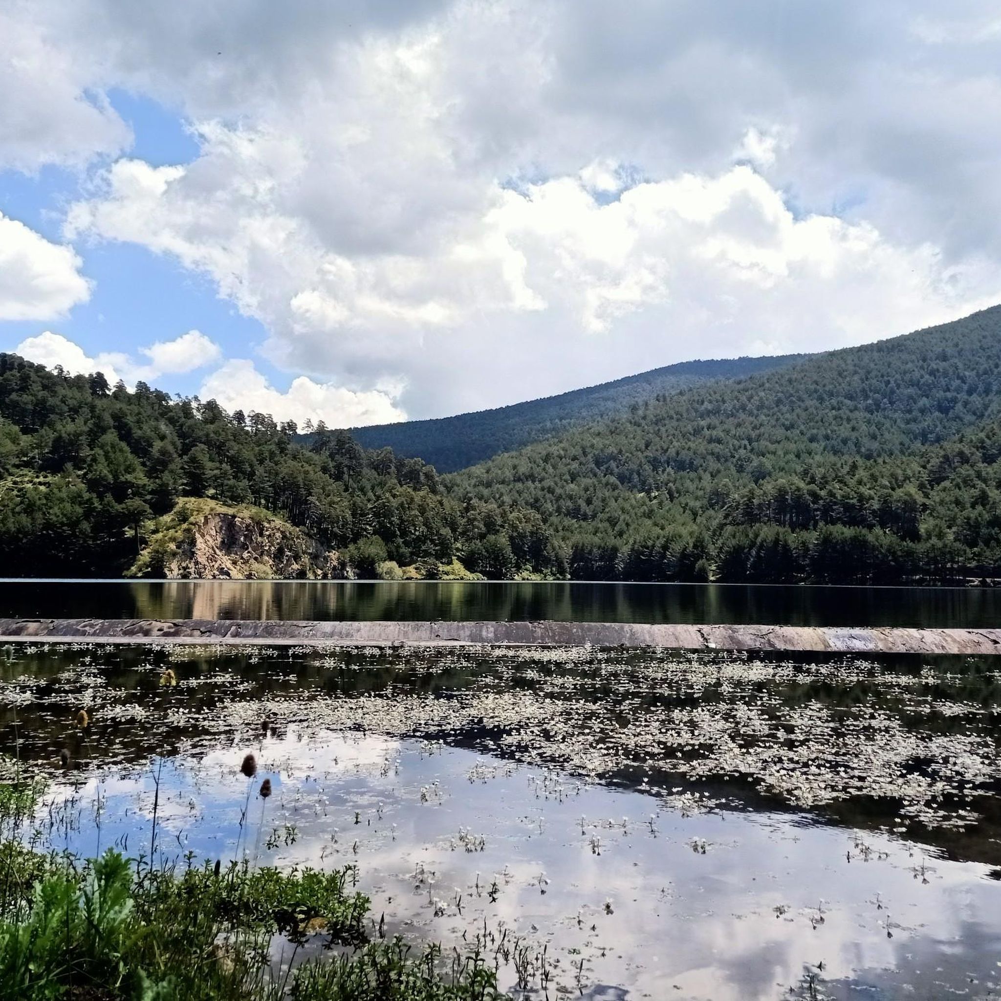
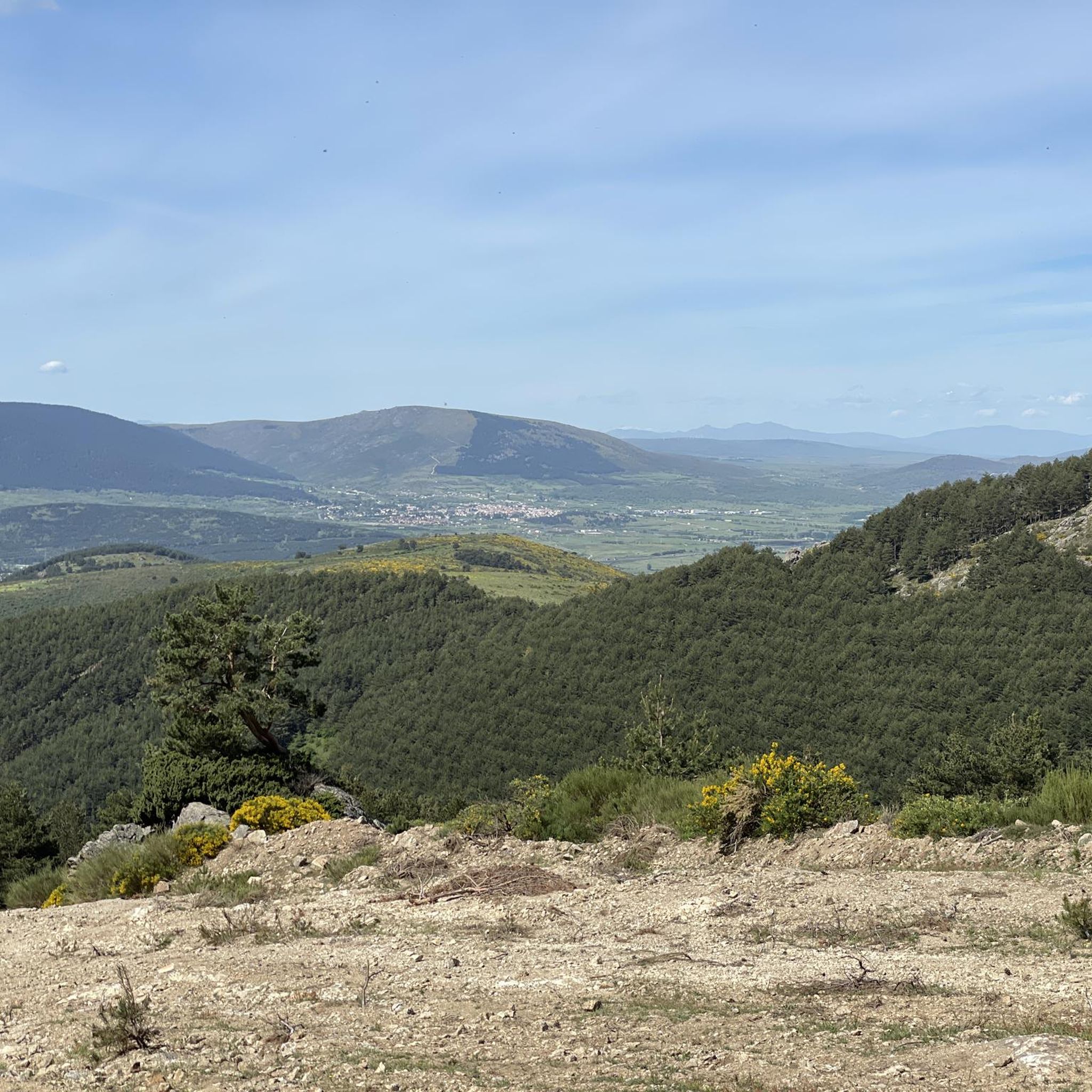

Tips from the Community

It is the peak that forms the chest of La Mujer Muerta, its altitude 2,196 m. It is practically the same as that of La Pinareja 2,197 m., (one meter less). The surrounding landscape is unique.
1
0

La Peña del Águila is located 2008 meters above sea level and enjoys impressive views of the entire Sierra de Guadarrama national park. Especially the Peñalara peak, the highest in Madrid.
1
0

Peña el Águila is a peak over 2,000 meters high located on the ridge path between Puerto de Guadarrama and Collado de Marichiva. You can access it via one of these two mountain passes following the GR 10, or climb there via the steep climb from Cercedilla.
0
0

The first peak of the range is Pasapán (2,005 m), the foot of La Mujer Muerta. At the top there is a stone wall and piles of rocks. The trail goes down the northeast face to a nearby col to begin the ascent of Peña del Oso (2,196 m). The first slope ends in a beautiful meadow where herds of cows usually graze and then there is a stony slope to the summit that forms the breasts of La Mujer Muerta. The ridge of the massif, between the Puerto del Pasapán and the Río Peces pass, is quite technical, with rocks, steps, delicate slopes and dangerous quarries. The Peña del Oso has a geodesic vertex and is adorned with two figures of bears facing south. The high peaks of the Sierra de Guadarrama have fantastic views, Bola del Mundo, Maliciosa, Peñalara... The trail advances along the plateau of the summit and begins a delicate descent through rocky slopes, surrounding small towers that cut off the path on the line of the summits And finally the milestone of La Pinareja (2,197 m), the stone woman's head, the steepest and highest peak of the three. The trail continues north along the rope. In an easterly direction there is another more frequented path that goes down to the Tirobarra pass and connects with the mountain itineraries of Montón de Trigo, Ojos del Río Moros and Puerto de la Fuenfría. In the first section of the descent from La Pinareja, you have to be careful because of the scree of the Canchas de Cereceda, the slope is covered with blocks and loose rocks until it loses height, descends from elevation 2000 and the path is more comfortable for running.
0
0

Pass summit with a beautiful pasture surrounded by forest on the Camino Schmidt.
1
0

One of the most impressive features of the Peña de Arcipreste de Hita is the granite stones at the top. In these we find inscriptions from other periods, embroidered on the same rock.
0
0

The Majalasna is, with its 1934 meters high, the lowest summit of the characteristic granite formation of the Seven Peaks. It is also located apart from the rest, in the western wing. The ascent and descent are made on the right side, taking extreme precautions.
3
0
Frequently Asked Questions
What are some of the most notable mountain peaks in the broader Segovia province near Otero de Herreros?
While Otero de Herreros itself features rolling hills, the wider Segovia province is home to significant peaks. These include Pico de Peñalara, the highest point at 2,428 meters, Pico del Lobo at 2,274 meters, and La Pinareja with an elevation of 2,197 meters. These offer challenging ascents and panoramic views.
Which specific mountain peaks are recommended to explore around Otero de Herreros?
Visitors often enjoy Cerro Minguete, a summit over 2000 meters high offering impressive views of the Sierra de Guadarrama. Another popular spot is Majalasna Peak, which provides wonderful views of the entire Sierra de Guadarrama Park from its 1934-meter summit. The Marichiva Pass, a picturesque hill at about 1750 meters, is also a must-see.
What kind of terrain can I expect when exploring the mountains near Otero de Herreros?
The terrain around Otero de Herreros and the wider Segovian mountain range, including parts of the Sierra de Guadarrama, varies from rolling hills and open spaces to more challenging, elevated landscapes. You'll encounter granite formations, stony slopes, and areas requiring physical dexterity, especially on higher peaks like Majalasna Peak.
What are the difficulty levels of the mountain peaks around Otero de Herreros?
The mountain peaks in the region offer a range of difficulty levels, from intermediate to challenging. For instance, Peña del Oso (2,196 m) is considered challenging, while Cerro Minguete and Marichiva Pass are generally intermediate. Some ascents, particularly the last stretch to summits, may require a bit of physical dexterity.
Where can I find the best viewpoints around Otero de Herreros?
Excellent viewpoints are abundant. From Cerro Minguete, you can see famous peaks like Montón de Trigo, Cerro de La Mujer Muerta, and El Pico Peñalara. Majalasna Peak offers wonderful views of the entire Sierra de Guadarrama Park. Additionally, Peña del Oso (2,196 m) provides fantastic views of high peaks like Bola del Mundo, Maliciosa, and Peñalara.
Are there any unique natural monuments to see near Otero de Herreros?
Yes, the Arcipreste de Hita Rock is a notable natural monument. It features curious granite rocks with historical inscriptions, including a stanza from the famous meeting between the poet and the shepherdess, and a dedication to the Archpriest of Hita.
What outdoor activities can I do near these mountain peaks?
The region around Otero de Herreros is ideal for various outdoor activities. You can find numerous routes for hiking, including moderate trails like 'Risca del Río Moros y Embalse de los Ángeles' and challenging ones like 'The Dead Woman – Peña del Oso (2,196 m)'. There are also options for cycling and running, with routes like 'La Garganta del río Moros' for cycling and 'Los Ángeles Reservoir loop' for running.
Are there family-friendly mountain walks around Otero de Herreros?
While some peaks offer challenging ascents, the general area of Otero de Herreros, with its rolling hills and open spaces, provides opportunities for more leisurely walks suitable for families. For specific family-friendly routes, it's best to check the difficulty ratings of hiking trails in the hiking guide, looking for 'easy' or 'moderate' options.
What is the best time of year to visit the mountain peaks near Otero de Herreros?
The region is generally suitable for outdoor activities, but for challenging ascents to higher peaks like Peñalara, spring and autumn often offer the most pleasant weather conditions. Summers can be warm, and winters may bring snow to the higher elevations, requiring appropriate gear and experience.
What do visitors enjoy most about the mountain peaks around Otero de Herreros?
Visitors appreciate the serene environment and the opportunities to enjoy nature. The impressive panoramic views from summits like Cerro Minguete and Majalasna Peak are frequently highlighted. The variety of trails, from intermediate to challenging, also appeals to a wide range of outdoor enthusiasts.
Can I find dog-friendly trails in the mountains around Otero de Herreros?
Many natural areas in Spain, including parts of the Sierra de Guadarrama, are generally dog-friendly, especially on marked trails. However, specific regulations can vary by protected area or national park. It's always advisable to keep dogs on a leash and check local guidelines for any restrictions, particularly in nature reserves or during certain seasons.
Are there any long-distance trails that pass through the mountain areas near Otero de Herreros?
Yes, the Marichiva Pass is notably marked by the red and white chevrons of the GR-10 long-distance trail. This trail follows the popular Calle Alta forest track, along the route of the old Vereda del Infante, offering extended hiking opportunities.
Most popular routes around Otero De Herreros
Most popular attractions around Otero De Herreros

Get inspired with the komoot mobile app


Explore more
See even more amazing summits around Otero De Herreros with these guides:
