The best running trails around Otero De Herreros
4.5
(9)
531
runners
47
runs
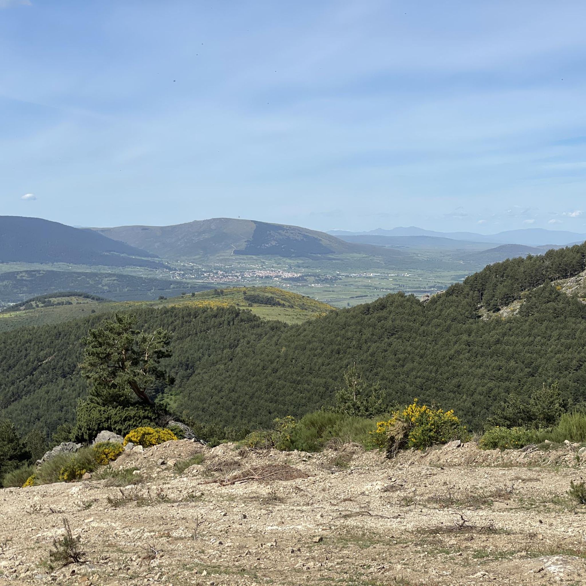
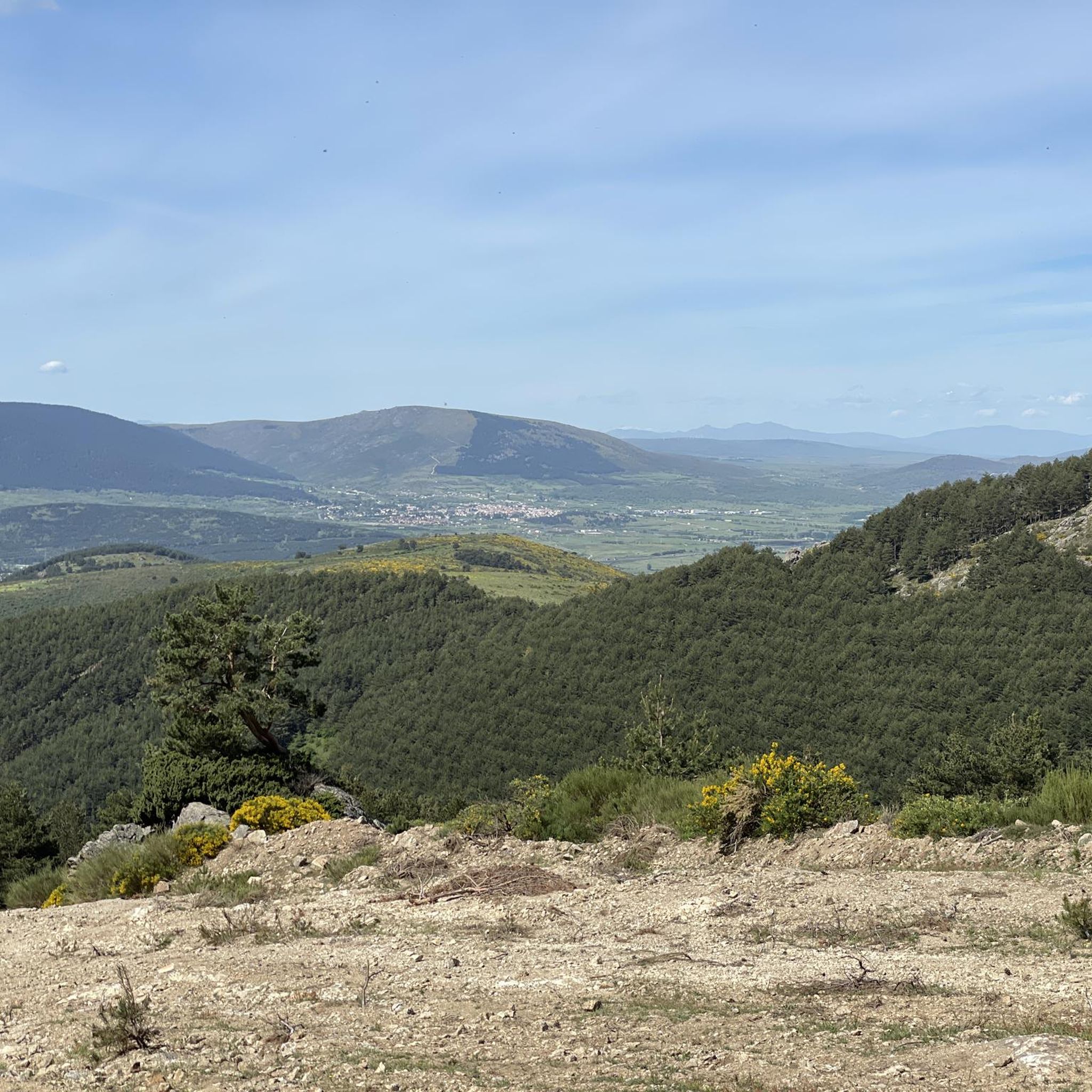
Jogging around Otero De Herreros offers diverse landscapes at the foot of the Sierra de Guadarrama. The region features a blend of mountainous terrain, green valleys, and expansive open spaces. It is characterized by scenic rolling hills and areas like Quejigal de Otero with gall oaks and holm oaks, providing varied environments for running.
Best jogging routes around Otero De Herreros
- The most popular jogging route is Los Ángeles Reservoir loop from Ciudad Deportiva Los Ángeles de San Rafael,…
Last updated: July 1, 2026
11
runners
Moderate run. Good fitness required. Mostly paved surfaces. Suitable for all skill levels.
4.0
(1)
9
runners
26.5km
04:41
1,550m
1,550m
Hard run. Very good fitness required. Sure-footedness, sturdy shoes and alpine experience required.

Sign up for free
11
runners
16.6km
03:05
1,010m
1,010m
Hard run. Very good fitness required. Sure-footedness, sturdy shoes and alpine experience required.
7
runners
25.2km
03:53
1,080m
1,080m
Hard run. Very good fitness required. Sure-footedness, sturdy shoes and alpine experience required.
7
runners
7.40km
00:50
190m
190m
Moderate run. Good fitness required. Mostly paved surfaces. Suitable for all skill levels.
Get access to more routes and recommendations from other explorers.
Sign up for free
Already have an account?
Our route recommendations are based on thousands of hikes, rides, and runs completed by other people on komoot.
Start today with a free account
Your next adventure awaits.
Login or Signup

Tips from the Community

Impressive pass located on the ridge of the Mujer Muerta or Peña del Oso.
0
0

a good route, from Madrid to Segovia..
0
0

When seen from a distance it looks like a pile of something, in this case, wheat.
0
0
A hill that separates La Pinareja and Montón de Trigo. It is named after a game played by shepherds, "Tiro de la Barra"
0
0
Collado that takes its name from the bar throw game.
0
0

Fresh water from La Fuenfría to quell the heat of the walk.
1
0
It is the peak that forms the chest of La Mujer Muerta, its altitude 2,196 m. It is practically the same as that of La Pinareja 2,197 m., (one meter less). The surrounding landscape is unique.
1
0
Pasapán Peak is the last one when you tour the Dead Woman from head to toe. It is the lowest altitude of this Hill, but it is a place of great charm and extraordinary landscape.
1
0
Frequently Asked Questions
How many running routes are available around Otero De Herreros?
There are over 45 dedicated running routes around Otero De Herreros, offering a wide variety of distances and difficulty levels to suit different preferences and fitness levels.
What kind of landscapes can I expect on the running trails in Otero De Herreros?
Jogging around Otero De Herreros offers diverse landscapes at the foot of the Sierra de Guadarrama. You'll find a blend of mountainous terrain, green valleys, and expansive open spaces. The region is characterized by scenic rolling hills and areas like Quejigal de Otero with gall oaks and holm oaks, providing varied environments for your run.
Are there running routes suitable for beginners or those looking for an easy jog?
Yes, Otero De Herreros offers options for all levels. While many routes are moderate to difficult, there is at least one easy route available. For a moderate option that's not overly strenuous, consider the Embalse de Los Ángeles loop from Los Ángeles de San Rafael, which is 6.5 km long with manageable elevation.
Are there any circular running routes in Otero De Herreros?
Many of the running routes in Otero De Herreros are circular, allowing you to start and finish at the same point. A popular moderate circular route is the Los Ángeles Reservoir loop from Ciudad Deportiva Los Ángeles de San Rafael, which is 10.9 km long and offers scenic views.
Can I find routes with historical landmarks or natural features?
Absolutely. The region is rich in history and natural beauty. You can explore trails that pass by remnants of ancient mining settlements like Cerro de los Almadenes, or sections of the historic Roman Road of Puerto de la Fuenfría. For natural features, the Embalse de Revenga offers tranquil strolls, and you might even encounter highlights like the Ducha de los Alemanes waterfall or the Ojos del Río Moros.
What do other runners enjoy most about jogging in Otero De Herreros?
The running routes in Otero De Herreros are highly rated by the komoot community, with an average score of 4.4 stars from 8 reviews. Runners often praise the diverse terrain, from rolling hills to mountainous paths, and the stunning views of the Sierra de Guadarrama. The variety of routes ensures there's something for every preference.
Are there any running trails that offer panoramic views?
Yes, several routes provide impressive panoramic views. For instance, the Cerro de la Cantina is known for its expansive vistas of the mountains and the town. Challenging routes like the Peña del Oso (2,196 m) – GR-88 Trail loop from Rancho la Becea lead through high mountain landscapes with spectacular scenery.
Are there any family-friendly running options in Otero De Herreros?
While many routes are geared towards more experienced runners, the municipal parks within Otero De Herreros offer walking paths, shaded areas, and amenities that are suitable for a leisurely family jog or walk. For a slightly longer, but still accessible, option, the areas around the Embalse de Revenga are generally flat and pleasant for families.
Are dog-friendly running trails available in Otero De Herreros?
Many of the natural trails and open spaces around Otero De Herreros are suitable for running with dogs, provided they are kept under control and local regulations are followed. The expansive open spaces and rolling hills offer plenty of room for you and your canine companion to enjoy the outdoors. Always ensure your dog is on a leash where required and clean up after them.
What is the best time of year for running in Otero De Herreros?
The best time for running in Otero De Herreros is generally during spring and autumn when temperatures are milder and the natural scenery is at its most vibrant. Summer can be hot, especially at midday, so early morning or late afternoon runs are recommended. Winter offers a unique experience, but some higher-altitude trails in the Sierra de Guadarrama may be challenging due to snow or ice.
Are there any routes that pass by water features like reservoirs or rivers?
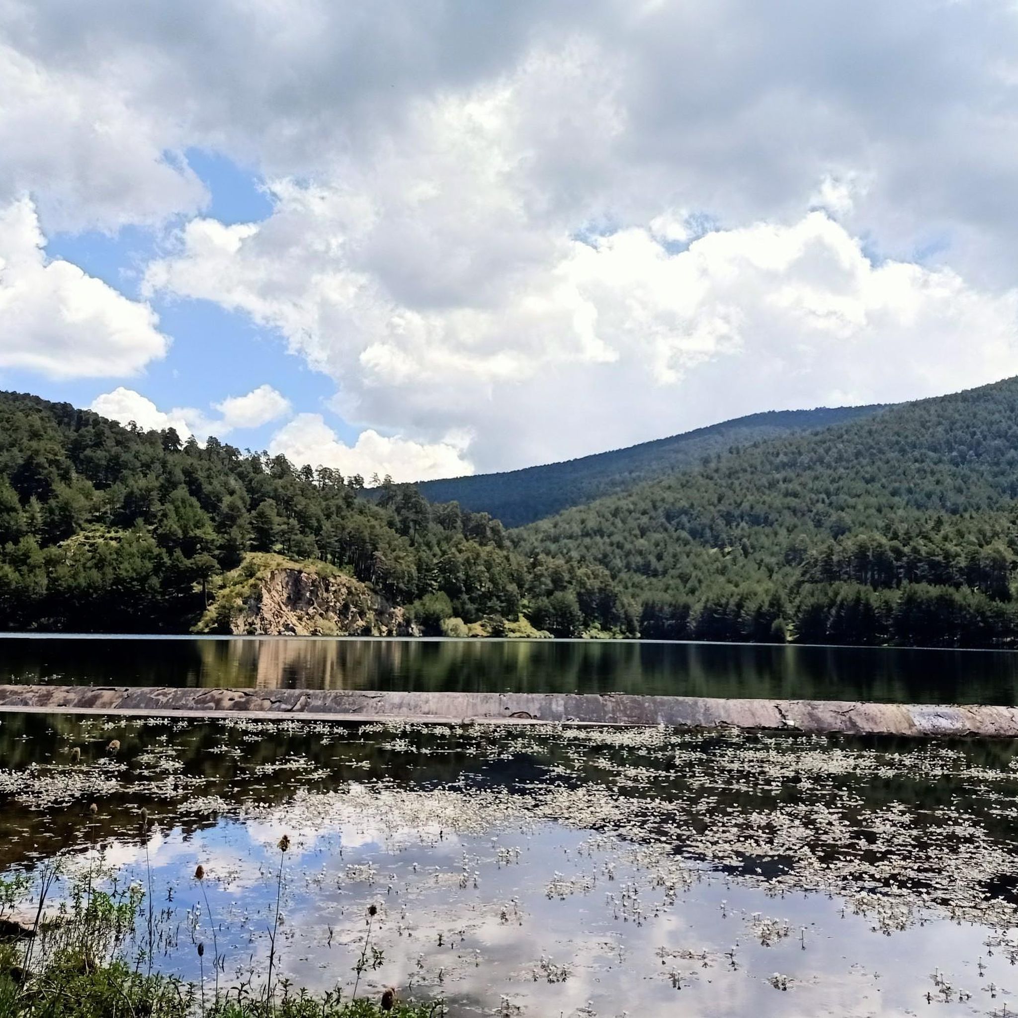
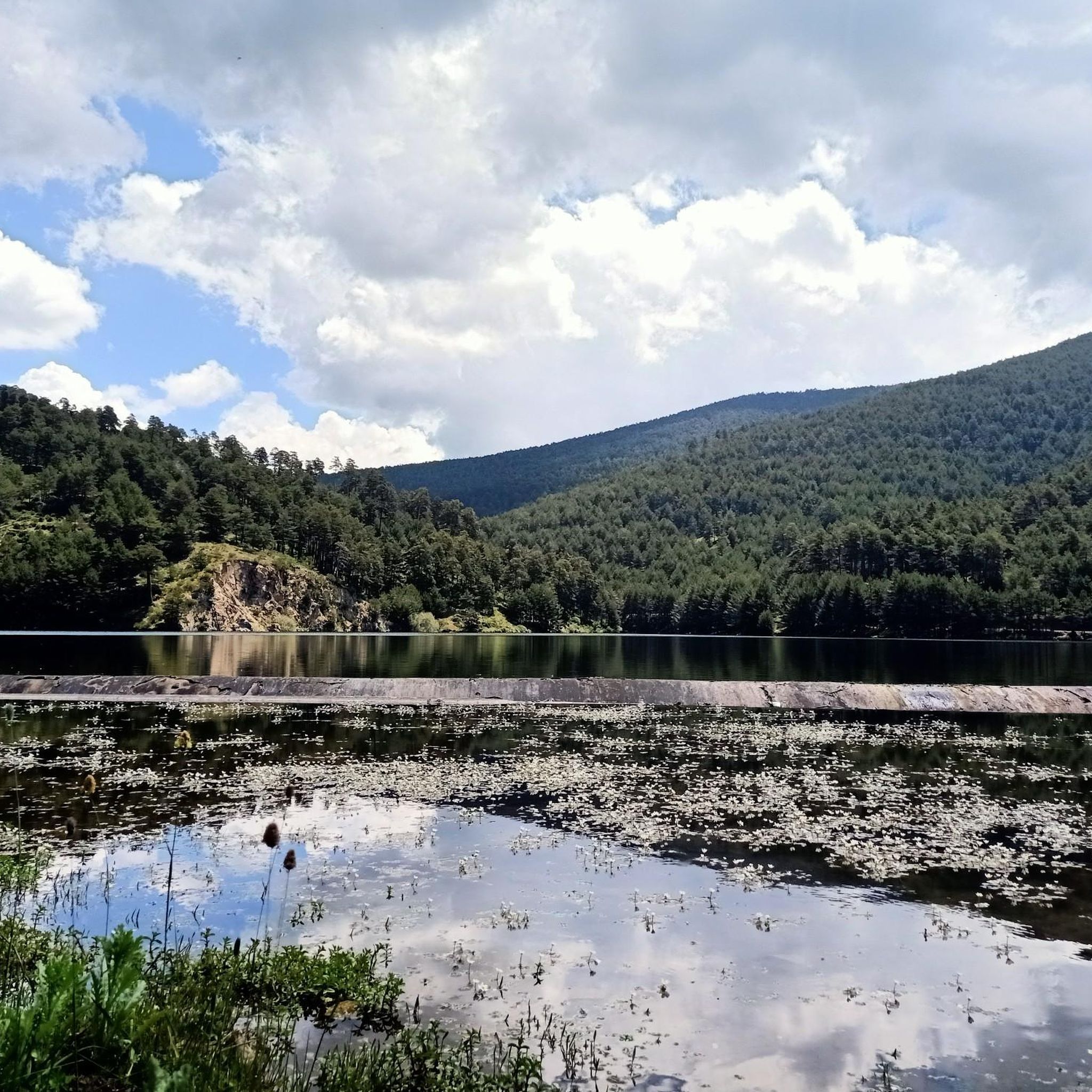
Yes, you can find routes that incorporate water features. The Los Ángeles Reservoir loop is a popular choice, offering continuous views of the water. Additionally, the Ojos del Río Moros and the tranquil Embalse de Revenga provide beautiful settings for a run or a relaxing break.
Most popular routes around Otero De Herreros
Most popular attractions around Otero De Herreros

Get inspired with the komoot mobile app


Explore more
Browse the best Running Trails & Routes in other regions.
