The best gravel rides around Otero De Herreros
10
riders
4
rides
Gravel biking around Otero De Herreros features routes that navigate a varied landscape, including areas near historical palaces, open airfields, and natural river features. The terrain often includes significant elevation changes, with routes ascending over 400 meters. This region offers challenging gravel bike trails suitable for experienced riders.
Best gravel bike trails around Otero De Herreros
- The most popular gravel bike trail is Royal Palace of Riofrío – Fuentemilanos Airfield loop from Ortigosa del Monte, a difficult 30.9 miles…
Last updated: July 7, 2026
2
riders
58.6km
04:23
690m
690m
Hard gravel ride. Very good fitness required. You may need to push your bike for some segments of this route.
3
riders
Hard gravel ride. Very good fitness required. Mostly paved surfaces. Suitable for all skill levels.

Sign up for free
2
riders
35.4km
02:22
450m
450m
Hard gravel ride. Very good fitness required. You may need to push your bike for some segments of this route.
1
riders
34.0km
02:31
520m
520m
Hard gravel ride. Very good fitness required. You may need to push your bike for some segments of this route.
Our route recommendations are based on thousands of hikes, rides, and runs completed by other people on komoot.
Start today with a free account
Your next adventure awaits.
Login or Signup
Tips from the Community

A wooden bridge over the Moros River canyon. This marks the start of the hike in the northern part of the river canyon before it descends towards the San Rafael Los Angeles Reservoir.
0
1
Valdeprados is a small, charming traditional Segovian town near the Moros River. You should look for the heritage buildings of the Iglesia Eulalia de Mérida and the Castillo De Sanguino on your visit.
1
0
A small but charming 16th century chapel, with yellow stucco, in the small town of Ortigosa del Monte.
1
0

This quiet Segovian town has just over 560 inhabitants, and is the place where the Bezoya spring is located.
1
0

Having been used exclusively as a Palace for hunting in its surroundings and temporarily inhabited by Francisco Asís de Borbón and Alfonso XII, it is one of the current residences of the Spanish Royal Family. Built on a rectangular plan in Italian style, this palace has an art collection and a hunting museum worth visiting, being located on the Royal Sites Route, close to Segovia and La Granja de San Ildefonso. The palace was built with the permission of Ferdinand VI, tired of the interference in state affairs by Isabel de Farnese, the second wife of his father, Philip V. The queen consort ordered the palace to be built, for the king's peace of mind. However, his death brings Charles III, son of Isabel, to the throne. The latter then lost interest in the old Riofrío hunting reserve and the project remained unfinished, with only the palace and the large plaza built, without gardens. For information on schedules and conditions: https://www.patrimonionacional.es/visita/palacio-real-de-riofrio
0
0

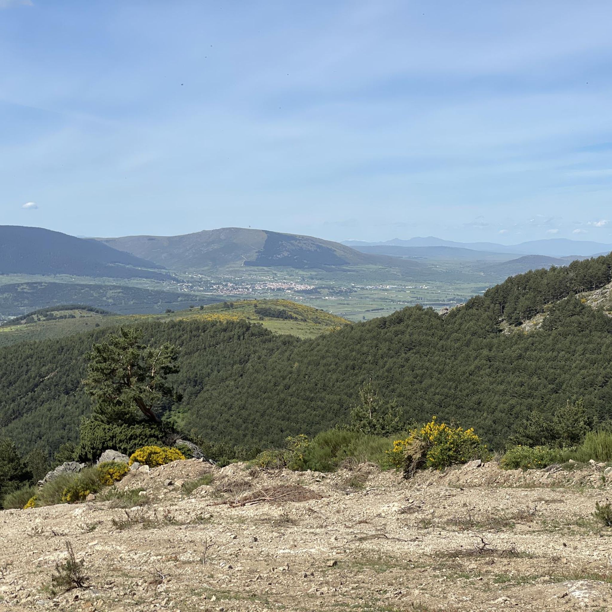
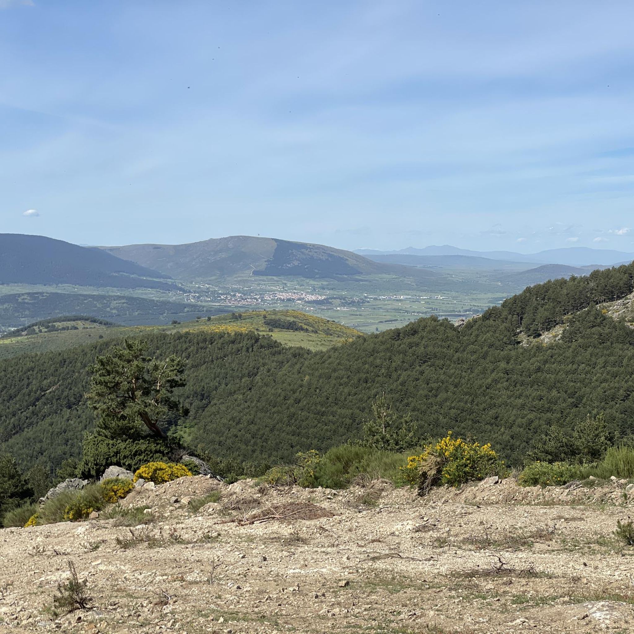
This is one of the most impressive gorges that rise above the Río Moros and reach a height of more than forty meters.
1
0
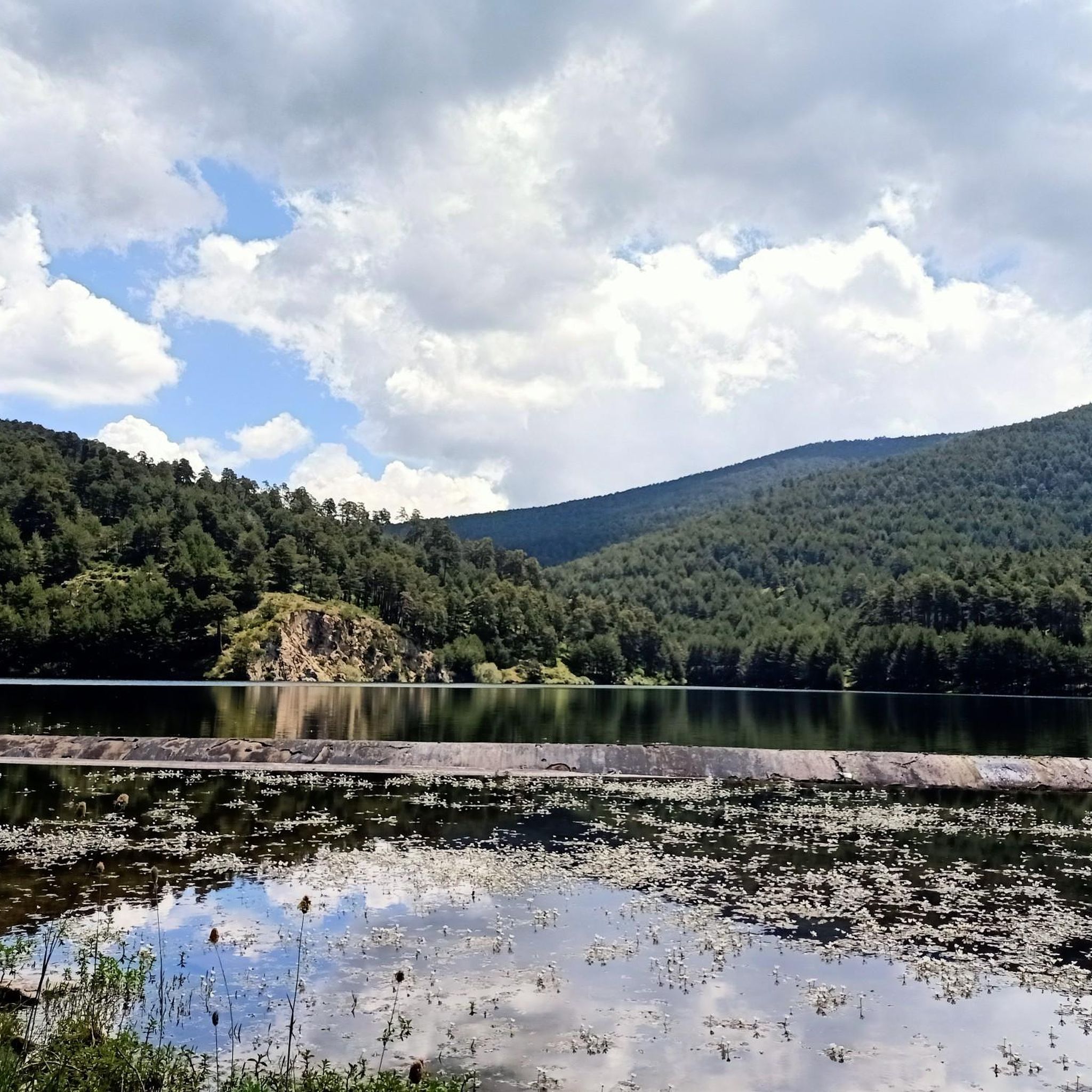
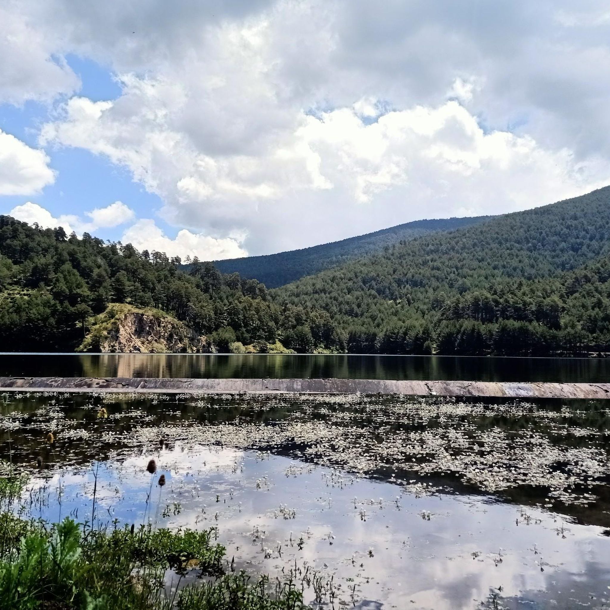
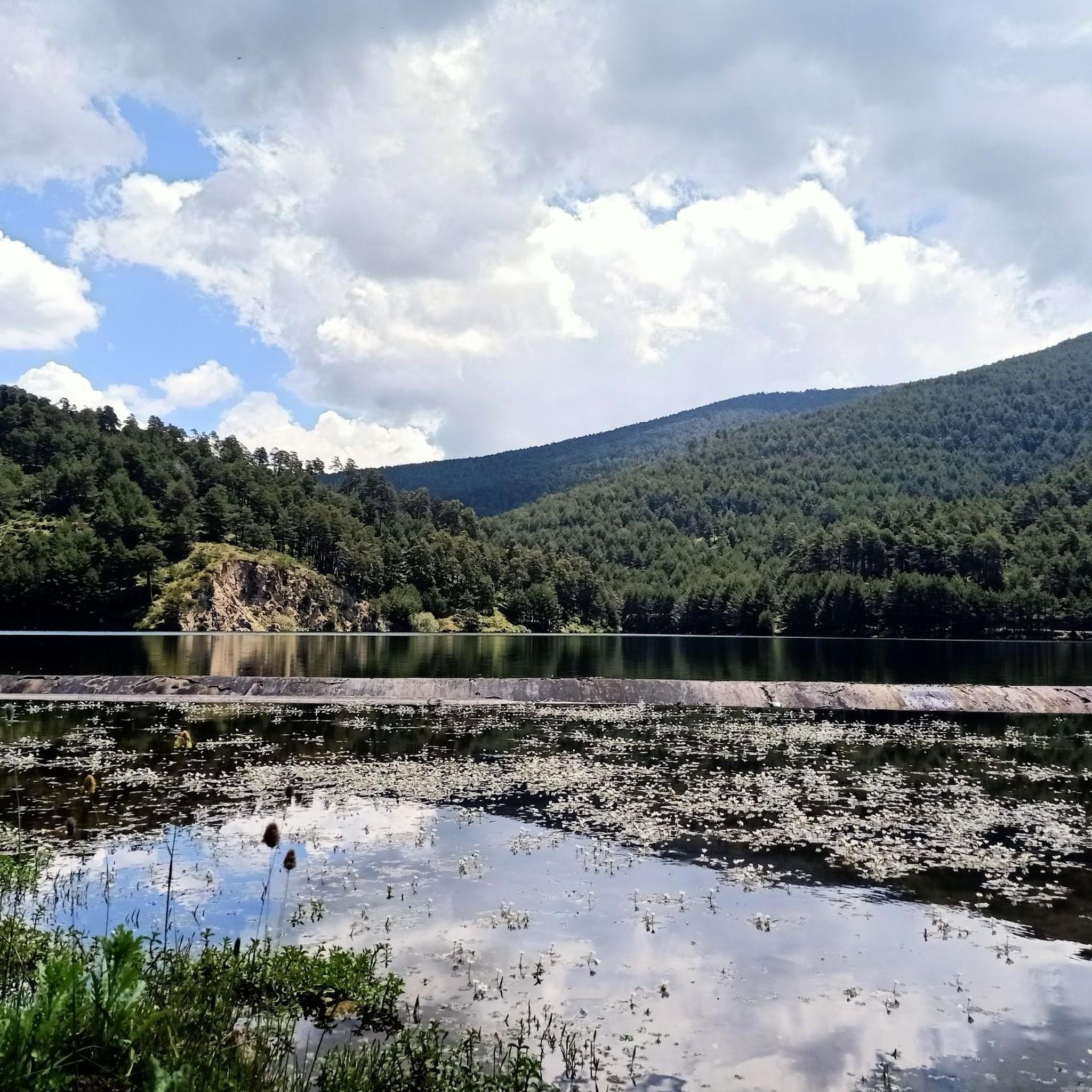
The Embalse de los Ángeles is a swamp that is located near the town of Los Ángeles de San Rafael. It collects the waters of the southeast of the Sierra del Quintanar.
2
0

Beautiful Romanesque hermitage that today is used as a stable
1
0
Frequently Asked Questions
Are there any easy or beginner-friendly gravel bike trails in Otero De Herreros?
The gravel biking routes around Otero De Herreros are generally considered challenging, suitable for experienced riders. All listed routes feature significant elevation changes and are rated as difficult. For example, the Royal Palace of Riofrío – Fuentemilanos Airfield loop has over 498 meters of ascent.
What kind of terrain can I expect on gravel bike trails near Otero De Herreros?
The terrain around Otero De Herreros is varied, featuring areas near historical palaces, open airfields, and natural river features. You will encounter undulating landscapes with notable elevation changes, often ascending over 400 meters on a single route. The trails are primarily suited for advanced gravel biking.
Are the gravel bike routes in Otero De Herreros typically circular?
Yes, the gravel bike routes highlighted in this region are designed as loops, allowing you to start and finish at the same point. For instance, the Ermita de San Antonio – Río Moros Cliff loop is a 60.5 km circular path exploring natural river features.
What are some notable natural attractions or viewpoints along the gravel trails?
Along the gravel trails, you can discover several natural highlights. The Ojos del Río Moros offers scenic river views, and the Ducha de los Alemanes is a beautiful waterfall. You might also encounter the Majalasna Peak for panoramic vistas.
Are there any historical landmarks or points of interest to explore while gravel biking?
Absolutely. The region is rich in history. You can ride past the Royal Palace of Riofrío, explore areas with historical mineral transit routes like on the Fuentemilanos – The Mineral Transit loop, or visit the ancient Roman Road of Puerto de la Fuenfría.
What is the typical length and elevation gain for gravel bike trails in this area?
Gravel bike trails in Otero De Herreros vary in length, generally ranging from approximately 35 km to over 60 km. Elevation gains are significant, with routes often featuring ascents between 450 meters and over 800 meters. For example, the Ermita de San Antonio – Río Moros Cliff loop covers 60.5 km with 826 meters of elevation gain.
Is Otero De Herreros a good destination for advanced gravel bikers?
Yes, Otero De Herreros is particularly well-suited for advanced gravel bikers. The routes are characterized by challenging terrain, significant elevation changes, and longer distances, providing a rewarding experience for those seeking a more demanding ride.
What should I consider regarding gear and weather for gravel biking in Otero De Herreros?
Given the challenging nature of the trails and significant elevation changes, appropriate gravel bikes with good gearing and robust tires are recommended. Weather in the Sierra de Guadarrama foothills can be variable; check forecasts for temperature, wind, and precipitation, especially when planning longer rides with higher elevations.
Are there any specific natural springs or water sources along the routes?
Yes, the region features several natural springs. You might come across the Fuente de la Reina or the Fuenfría Spring. It's always advisable to carry sufficient water, as natural sources can be seasonal or not always accessible directly on the trail.
Where can I find parking when planning a gravel bike ride in Otero De Herreros?
Many routes, such as those starting from Ortigosa del Monte, typically have parking available in or near the village centers. Look for designated public parking areas or consult local maps for specific starting points. It's always a good idea to arrive early, especially on weekends, to secure a spot.
Can I access the gravel biking trails in Otero De Herreros using public transport?
While Otero De Herreros is a smaller town, it may have limited public transport connections. For access to trailheads, especially those starting in villages like Ortigosa del Monte, checking regional bus schedules or considering a combination of train and local transport to nearby larger towns like Segovia, then cycling to the start, would be advisable.
Most popular routes around Otero De Herreros
Most popular attractions around Otero De Herreros

Get inspired with the komoot mobile app


Explore more
Browse the best Gravel rides in other regions.
