Top 20 Mountain Passes around Luzaide/Valcarlos
Mountain passes around Luzaide/Valcarlos offer routes through the Pyrenees, situated near the French-Spanish border. This region is characterized by its historical significance, particularly for the Camino de Santiago, and its varied natural landscapes. The passes provide access to high-altitude terrain, lush forests, and open meadows. The area serves as a natural gateway, with routes used by pilgrims and travelers for centuries.
Best mountain passes around Luzaide/Valcarlos
- The most popular mountain pass is Ibañeta Pass, a mountain pass that reaches…
Last updated: June 26, 2026
Ibañeta Pass and the Roland Monument
Highlight • Mountain Pass
Translated by Google •
Tip by

Ibañeta Pass
Highlight • Mountain Pass
Tip by

Sign up now to discover places like this
Get recommendations on the best single tracks, peaks, & plenty of other exciting outdoor places.
Sign up for free
First climbs in the Camino Francés (Navarra)
Highlight (Segment) • Mountain Pass
Descending quickly and pleasantly down from the Ibañeta Pass towards Auritz-Burguete on the N-135 (beware of possible traffic), you have the illusion that …
Tip by
Col d'Arnosteguy
Highlight • Mountain Pass
The landscape is wild and wonderful. You can breathe …
Translated by Google •
Tip by

Sorogain Pass
Highlight • Mountain Pass
Translated by Google •
Tip by

Sign up for free to discover even more mountain passes around Luzaide/Valcarlos.
Sign up for free
Already have an account?
Start today with a free account
Your next adventure awaits.
Login or Signup
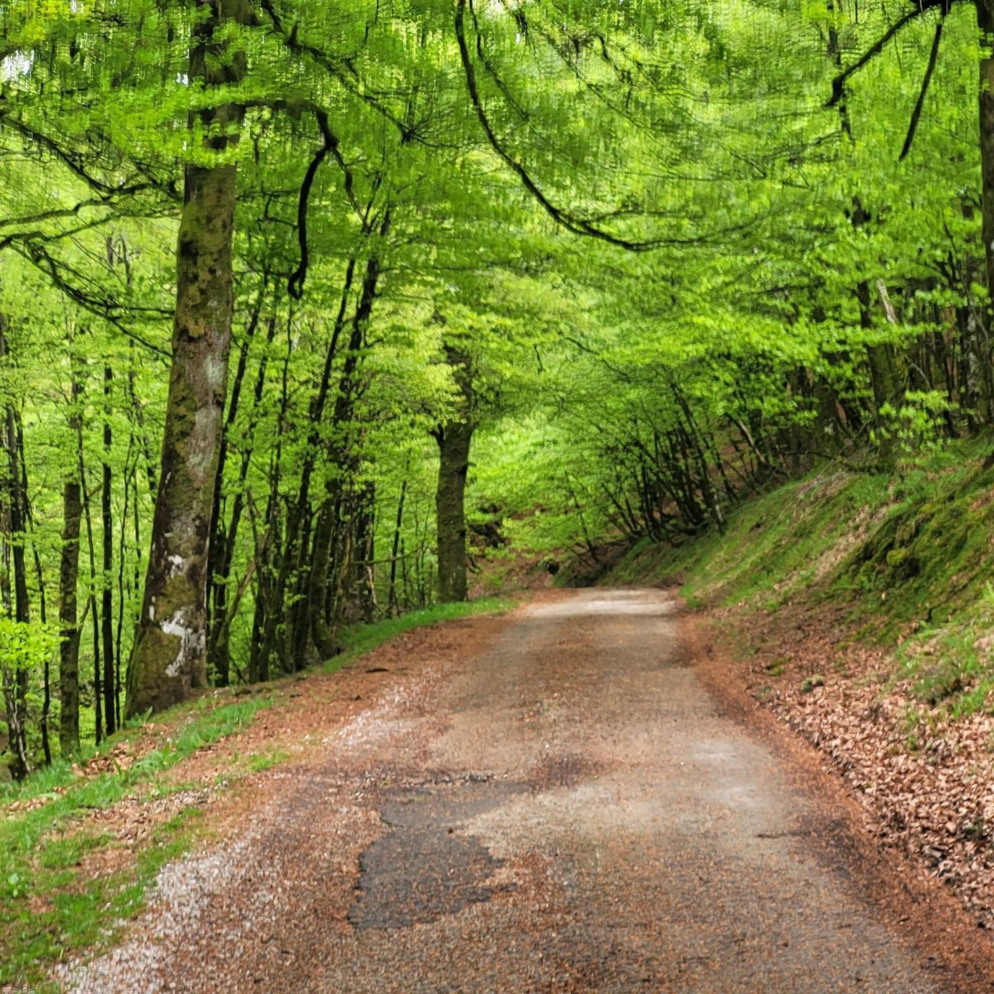
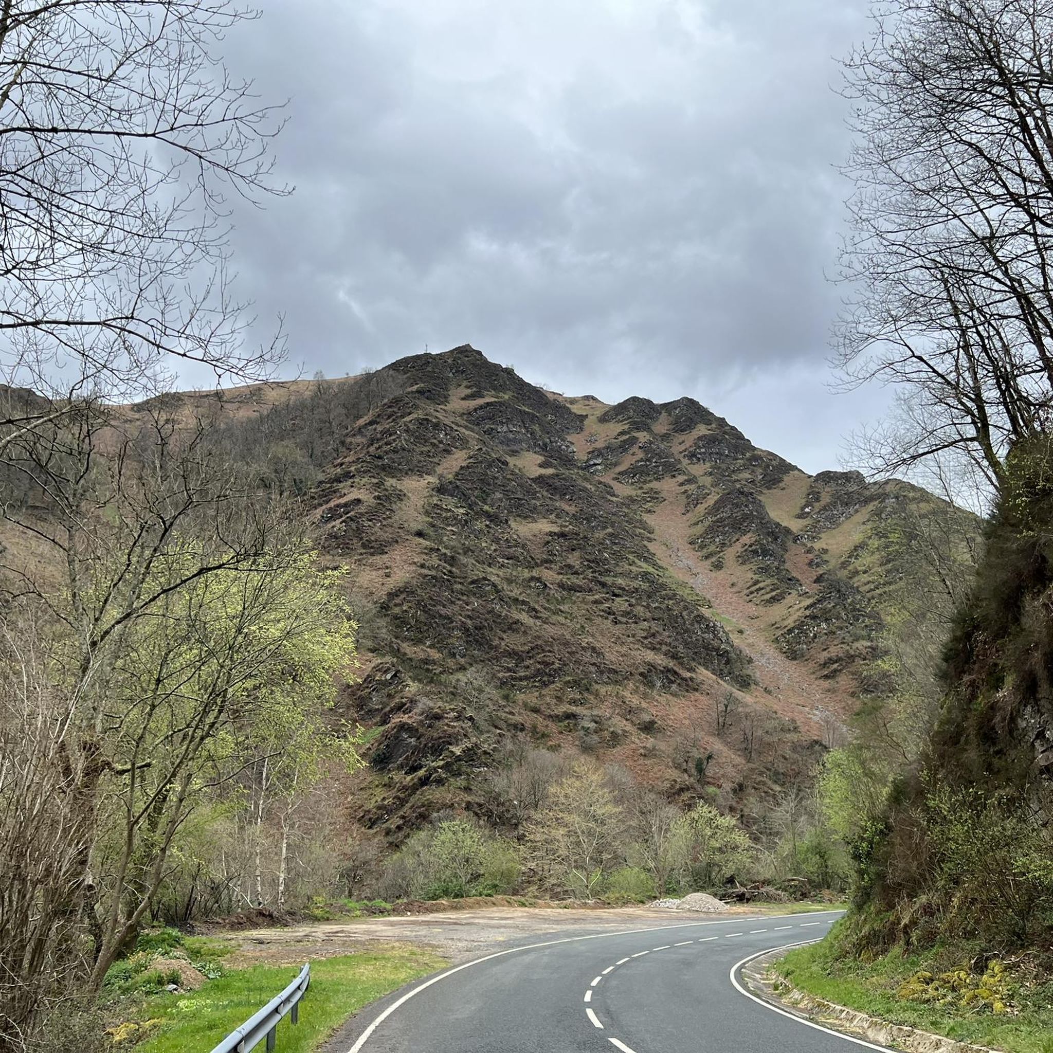
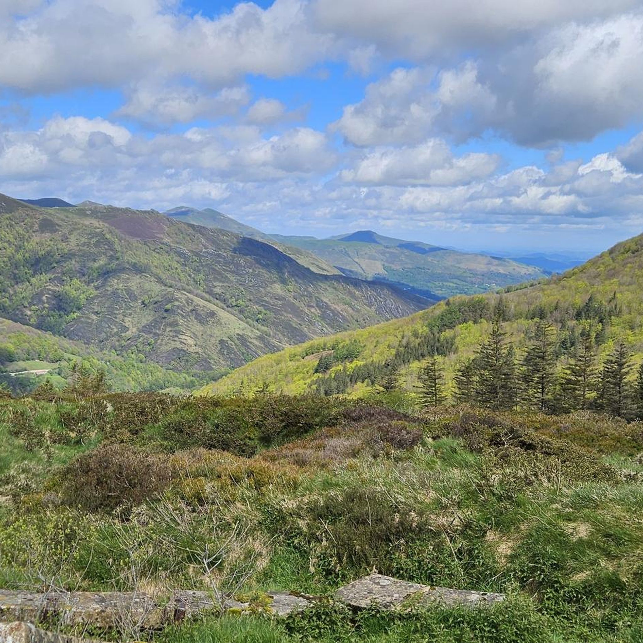

Tips from the Community

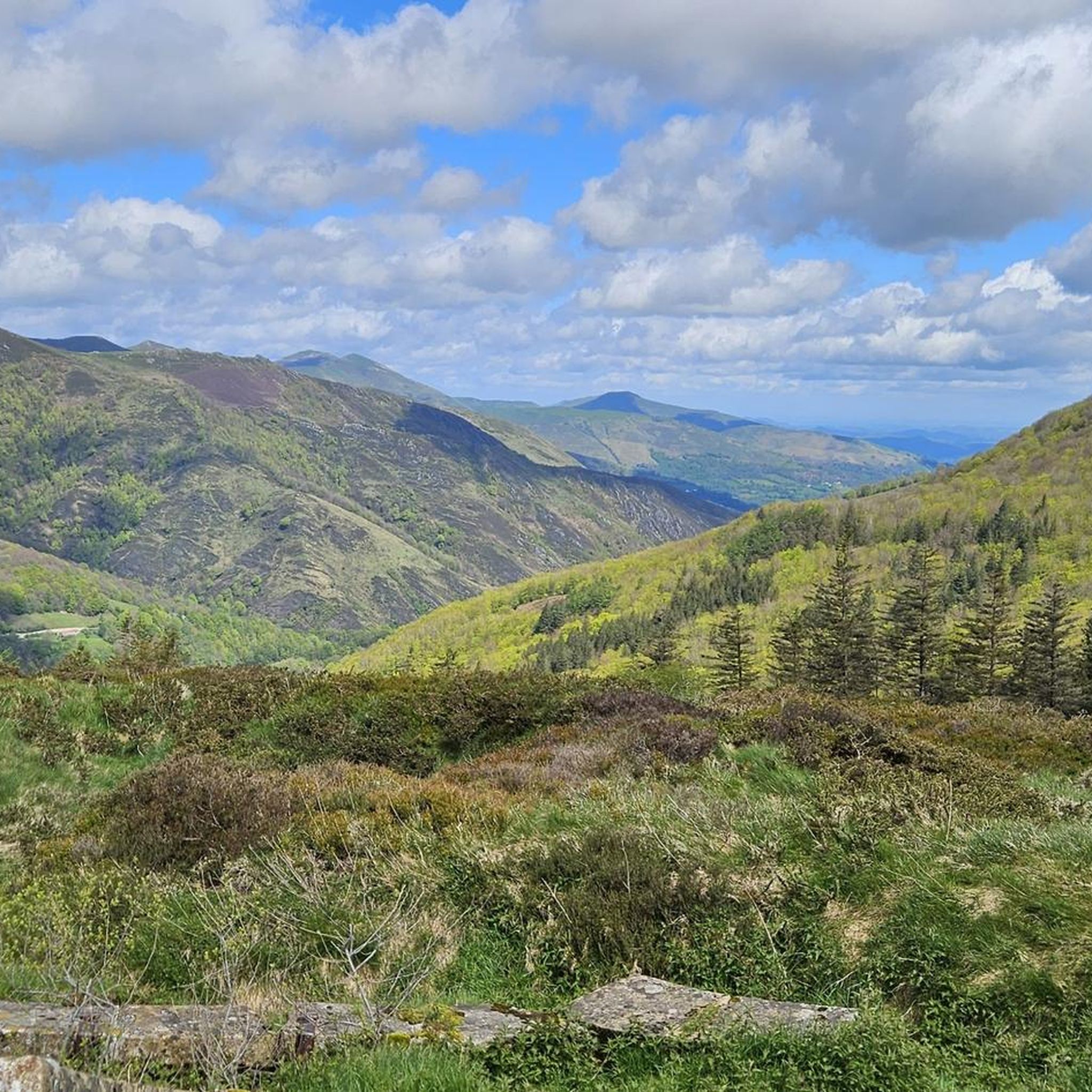
One of the best discoveries this year. I was really looking forward to visiting this area of the Pyrenees, and it has clearly exceeded my expectations. In addition, it was a beautiful day, with sun and good temperature. I couldn't ask for more. Sorogain is a border crossing with 2 very different sides. The Spanish side is flat and enjoyable, crossing a beech forest, following the course of a stream and opening up the majestic valley in the final part, surrounded by horses and sheep. It is approximately 8km with an average gradient of 3%, with the last 2km being harder and with irregular slopes. The French side is also spectacular but much harder. It is also 8km but with an average gradient of 8% and peaks of 18%. There are several km with an average gradient of over 10%, and the final slope is 500m at 15%!!! The views of the Urepel valley are wonderful. The road on both sides is in perfect condition, although it is very narrow and you have to be careful with the few cars there are.
0
0
One of the most inhospitable and spectacular mountain passes in the eastern Pyrenees, with several slopes, all of them very difficult. The landscape is wild and wonderful. You can breathe absolute tranquility and you can dedicate yourself exclusively to enjoying the views, the horses, the sheep, the cows and the suffering on the bike. The summit is on the border with Spain, although there is no road that crosses the border, so the pass runs entirely in France. I have climbed it on 2 of its slopes. The first time I climbed it on the slope that crosses the Col d'Orgambide, on the D428 road, which starts from Estérençuby. The first 3 km are very easy, until you cross the detour to go up to Artaburu, where the road begins to have slopes of more than 10%. From there, to the summit, the climb is very hard, around 9%, on a very rough and bumpy road, with a lot of humidity and crossing a wonderful beech forest. Once you reach the top of the Col d'Orgambide, you turn right and continue climbing for another half kilometre with a gradient of 11%. There comes a small descent, to face the last 3 kms, the first 2 very hard with several 13% gradients. The last kilometre is very easy and has panoramic views that are simply wonderful. The second time I climbed it on the side that starts from Arneguy and Ondarolle. This side is harder than the previous one, with a central section that is hellish, being 6 kms at an average of 10%, and a very hard km at 12% and 18% gradients!!! The final part is more gentle. You cross the Croix de Thibault in the penultimate kilometre of the climb. The final kilometre is very gentle and with beautiful and exciting panoramic views.
1
0
It is a beautiful border pass between Spain and France, well known for being part of the most traditional route of the Camino de Santiago. Sportingly, the climb on both sides is easy, although on the French side it is much longer as it starts at a lower altitude. The Spanish side is just 6 km from Burguete, the last being the most difficult with an average gradient of 7%. On this side you pass the famous and well-known monastery of Roncesvalles. The French side is 18 km from Arnegui and an average gradient of 4%. The hardest part is 5 km from the summit, with one kilometre at 7%. The landscape on this side is of lush vegetation going up a very closed valley that hardly leaves room for views of the surrounding mountains. The road is very twisty. It is a port with very good asphalt and a lot of traffic in general... so, be careful!
1
0

The Ibañeta Pass, also known as the Roncesvalles Pass, is a scenic mountain pass in the Pyrenees, near the border between France and Spain. At an altitude of 1,057 metres, it offers breathtaking views and a rich historical background. The pass is best known for the Battle of Roncevaux in 778, a legendary event sung about in the epic poem “The Song of Roland”. A menhir marks the traditional site of this battle, emphasising the historical significance of the location.
2
0

A great climb up to the pass. Once you reach the top you get a great view. There is a small church at the top and also a monument. There has always been a hospital up here. However, only the foundations of it remain
2
0

Roland, who is commemorated here, died in 778 as part of the rear guard of Charlemagne's Frankish army. He himself was Margrave of Brittany and was the victim of a Basque revenge campaign against the Frankish conquerors who were retreating from a failed Saracen campaign. Those were complicated times, but things were not to become any less complicated in the Basque Country in the centuries that followed. An epic/song was later sung about Roland, which is part of world literature. The monument itself is simple and rough, exposed up here in the wind of the weather, and can therefore have an immediate effect, without pomp and splendor. Great! https://de.wikipedia.org/wiki/Schlacht_von_Roncesvalles
2
0

nice area with drinking water
0
0

The pass is an important crossing of the Pyrenees, and a monastery with a hostel was set up in Roncesvalles for pilgrims on pilgrimage to St. James. The monks of the monastery also manned the chapel on the pass and rang the bells in the fog to show pilgrims the way.
4
0
Frequently Asked Questions
What are the most notable mountain passes in the Luzaide/Valcarlos region?
The region features several significant mountain passes, including the historically rich Ibañeta Pass, also known as Roncesvalles Pass, which is integral to the Camino de Santiago. Another challenging option is Col d'Arnosteguy, known for its wild landscapes and demanding slopes. The Valcarlos Route offers a scenic alternative, especially during winter.
What historical significance does the Ibañeta Pass hold?
The Ibañeta Pass and the Roland Monument is famous as the traditional site of the Battle of Roncesvalles in 778 AD, an event immortalized in 'The Song of Roland.' A monument marks this historic spot, and a chapel stands on the site of a former monastery. It has served as a natural gateway through the Pyrenees for centuries, used by pilgrims, armies, and merchants.
What are the best times to visit the mountain passes in Luzaide/Valcarlos?
The best time to visit generally depends on your activity. For most hiking and cycling, spring to autumn offers pleasant conditions. However, for the Valcarlos Route, it is particularly praised as a practical and scenic option during winter months (November 1st to March 31st) when higher passes like the Napoleon Pass are often inaccessible due to snow and ice.
Are there challenging mountain passes for experienced cyclists or hikers?
Yes, for those seeking a challenge, Col d'Arnosteguy is a demanding mountain pass with several difficult slopes and gradients exceeding 10%. The Napoleon Pass also offers steeper ascents and higher altitudes, reaching about 1,450 meters, making it more physically demanding.
What kind of views can I expect from the mountain passes?
The mountain passes in the Luzaide/Valcarlos region offer breathtaking panoramic views of the Pyrenees. From Ibañeta Pass, you can enjoy impressive vistas over Lower Navarre. Passes like Col d'Arnosteguy also provide wild landscapes with views of horses, sheep, and cows, while the Valcarlos Route winds through lush forests and green meadows.
What is the Valcarlos Route and why is it recommended?
The Valcarlos Route is a 24-kilometer path that traverses lower terrain through the Valcarlos Valley, offering a more moderate ascent compared to the Napoleon Pass. It's praised for its idyllic scenery, winding through lush forests, green meadows, and small villages. It's especially recommended as an alternative during winter when higher passes are often closed due to snow.
What outdoor activities can I do near the mountain passes?
The region around Luzaide/Valcarlos offers a variety of outdoor activities. You can explore numerous gravel biking routes, challenging MTB trails, and scenic running trails. Many routes incorporate sections of the Camino de Santiago or offer loops through forests and valleys.
Are there any specific hiking trails near the Ibañeta Pass?
Yes, the Ibañeta Pass is a key point on the Camino Francés. From Arneguy, a footpath climbs through the woods towards the pass. Additionally, the area features routes like the 'Forest Path Near Roncesvalles' which can be part of longer loops for gravel biking or MTB, often starting from nearby villages like Aurizberri or Orbaizeta.
What should I know about the difficulty of the mountain passes?
The difficulty varies significantly. The Ibañeta Pass is considered an easy climb on both sides, though the Spanish side from Burguete can be steeper with an average gradient of 7%. In contrast, passes like Col d'Arnosteguy feature very difficult slopes, with some sections reaching 18% gradients, making them suitable for experienced adventurers.
What is the significance of the Roncesvalles monastery in relation to the passes?
The Roncesvalles monastery is a well-known landmark that pilgrims often pass when descending the Spanish side of the Ibañeta Pass. It's a significant stop on the Camino de Santiago, offering a place of rest and historical reflection after traversing the Pyrenees.
Can I find any 'hidden gems' among the mountain passes in this region?
While not a 'hidden gem' in the traditional sense, Sorogain Pass is a beautiful border crossing with two very different sides. The Spanish side offers a flat, enjoyable path through a beech forest, while the French side is much harder with steep gradients and wonderful views of the Urepel valley, making it a rewarding discovery for many visitors.
What natural features are prominent around the mountain passes?
The mountain passes are surrounded by diverse natural beauty. You'll encounter lush forests, particularly beech forests, green meadows, and winding rivers, especially along the Valcarlos Route. The higher passes offer expansive, wild landscapes where you might spot local wildlife like horses, sheep, and cows.
Most popular routes around Luzaide/Valcarlos
Most popular attractions around Luzaide/Valcarlos

Get inspired with the komoot mobile app


Explore more
See even more epic mountain passes by checking out these guides around Luzaide/Valcarlos:
