The best running trails around Luzaide/Valcarlos
4.4
(45)
3,658
runners
198
runs
Jogging routes around Luzaide/Valcarlos traverse a landscape characterized by dense Pyrenean forests, narrow valleys, and varied terrain. The region's topography includes "up and down" sections, offering engaging and challenging running experiences. Historical pathways, such as sections of the Camino de Santiago, also provide unique routes through natural beauty. These features combine to create a diverse environment for outdoor activities.
Best jogging routes around Luzaide/Valcarlos
- The most popular jogging route is Txangoa - Roncesvalles Trail, a 5.1 miles (8.2 km)…
Last updated: August 23, 2026
6
runners
8.19km
01:18
470m
470m
Jog the difficult 5.1-mile Txangoa - Roncesvalles Trail, gaining 1549 feet through Pyrenean forests and past Ibañeta Pass.
292
runners
62.0km
09:37
2,940m
2,950m
Hard run. Very good fitness required. Sure-footedness, sturdy shoes and alpine experience required.

Sign up for free
271
runners
58.2km
09:03
2,800m
2,800m
Hard run. Very good fitness required. Sure-footedness, sturdy shoes and alpine experience required.
5.0
(1)
53
runners
23.2km
03:28
1,290m
1,280m
Hard run. Very good fitness required. Sure-footedness, sturdy shoes and alpine experience required.
52
runners
46.4km
06:42
2,040m
2,050m
Hard run. Very good fitness required. Sure-footedness, sturdy shoes and alpine experience required.
Get access to more routes and recommendations from other explorers.
Sign up for free
Already have an account?
Our route recommendations are based on thousands of hikes, rides, and runs completed by other people on komoot.
Start today with a free account
Your next adventure awaits.
Login or Signup

Tips from the Community

Les Aldudes is a very nice, remote little village tucked away in the Basque hills. It is a beautiful spot with a fiercely strong Basque identity, in fact, a waitress at the local bar quickly made it clear that speaking Spanish was out of the question, and that English was much preferred! For hikers and backpackers, the local community has set up some fantastic, welcoming facilities: Free Camping: Just behind the gas station, there is an open clearing that the town has officially designated as a free campsite. Showers & Restrooms: You can find very convenient toilets and showers located in the building right next to the church. Drinking Water: There is a reliable potable water fountain located in the main town square to easily refill your bottles. If you are tired of cooking your own trail rations, the village's single restaurant is very welcoming and the perfect place to sit down for a hot meal. It is an incredibly authentic and convenient stop along the trail!
1
0

The gas station shop is a full resupply if needed. They have ziplocks, toothbrushes, plenty of food, good cheeses and drinks. They have french canister fuel and are very friendly.
0
0

Located in the Aldudes valley, in France, this village is located in a privileged area of the eastern French Pyrenees. It is worth visiting it leisurely by bike.
0
0

Col Burriegeta, also known as Puerto de Ibañeta, is a historic mountain pass in the Pyrenees, located between France and Spain. The pass is best known for its role in the Camino de Santiago, where pilgrims cross the border on their way to Santiago de Compostela1. The pass offers breathtaking views and is home to the modern chapel of San Salvador, which replaced an older chapel, and a monument to Roland, which commemorates the Battle of Roncesvalles in 778. Col Burriegeta is an important passage for both pilgrims and cyclists, who enjoy the challenging climb and the beautiful surroundings.
2
0

There is also a camping area where HRP hikers can stay overnight for free. The small restaurant on the road is also recommended.
2
1

There is a small corner shop at the gas station where you can buy groceries. Highly recommended.
1
1

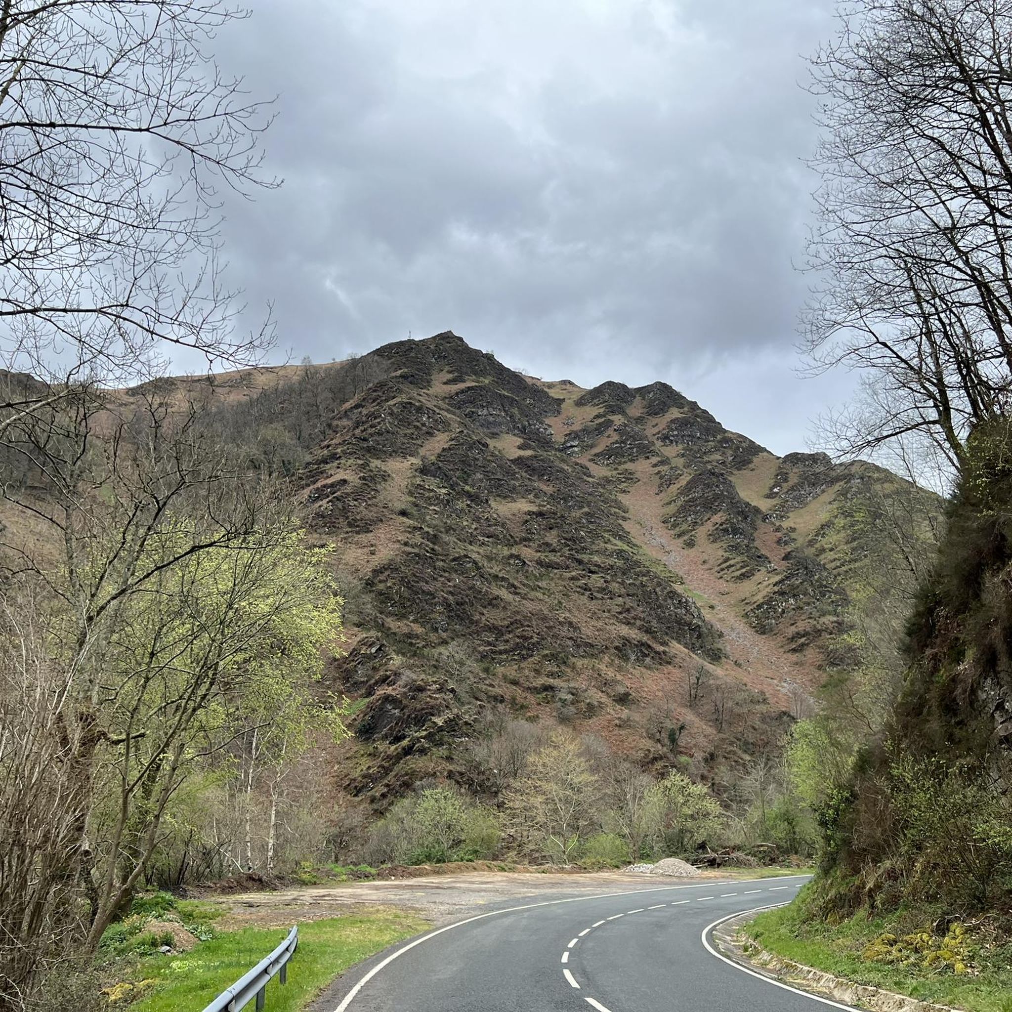
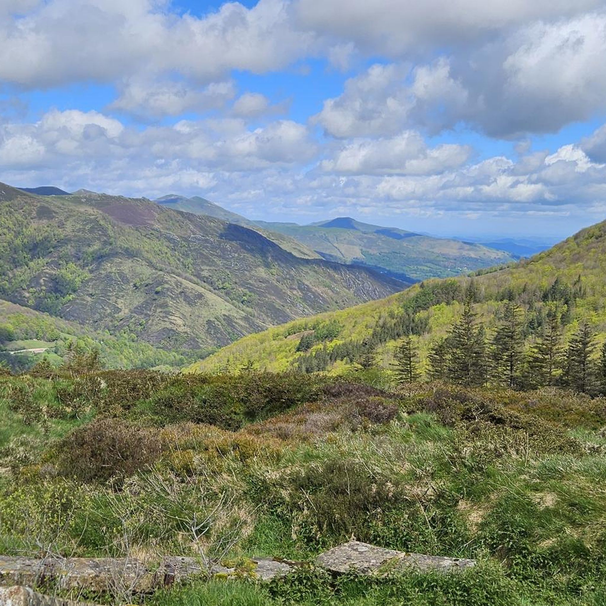
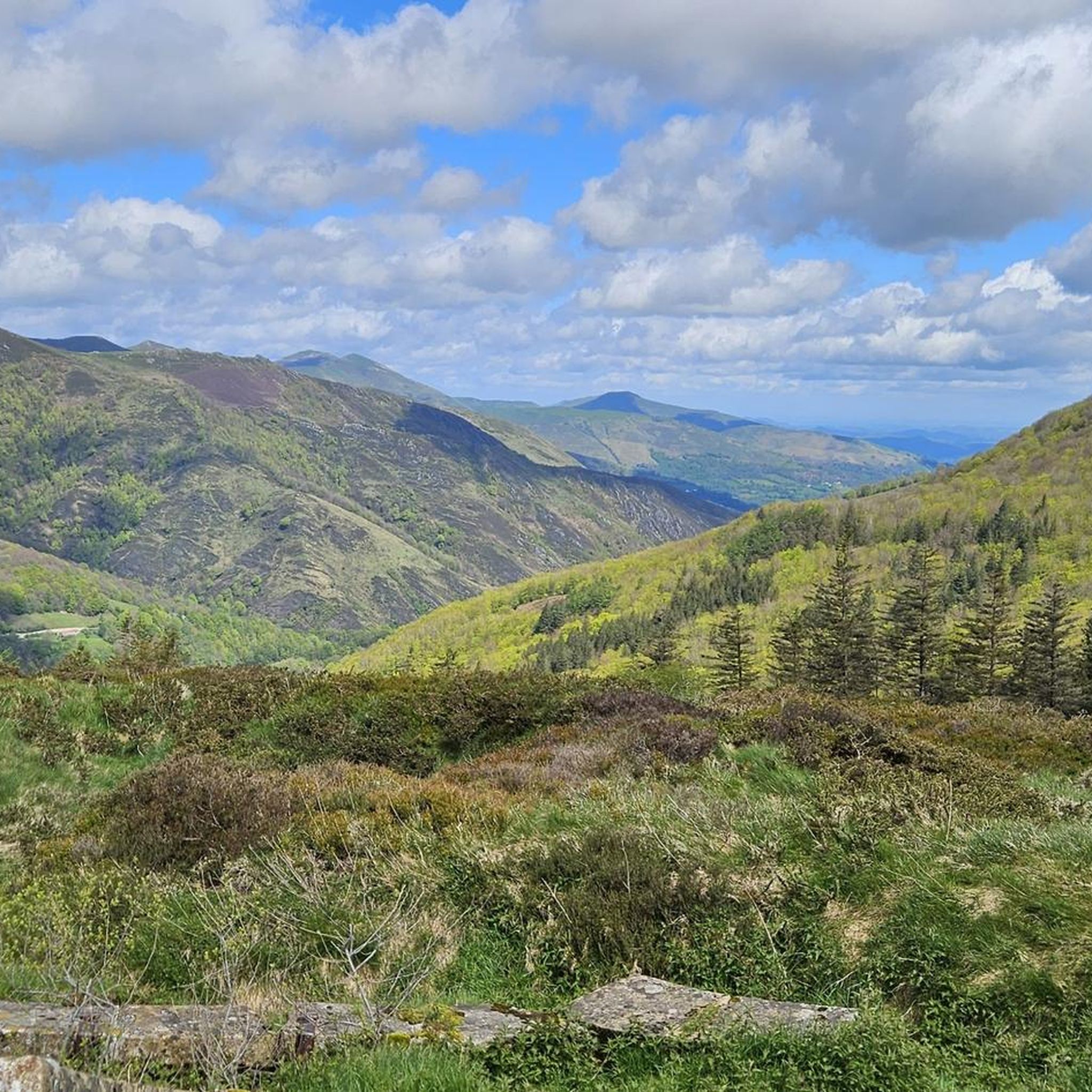
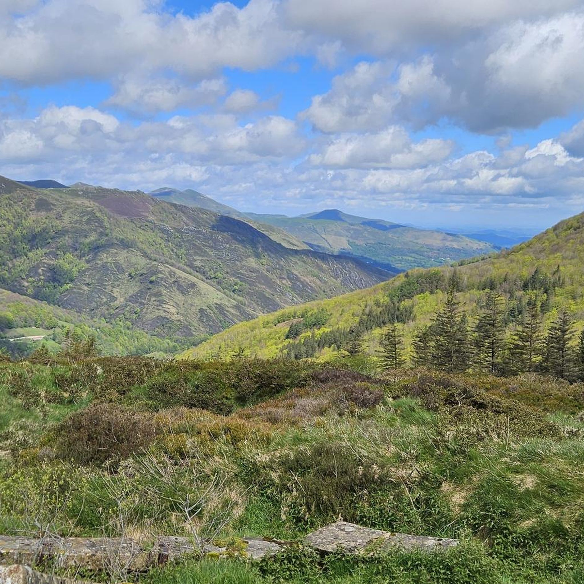
Typical Basque mountain. Green, with a round top and unbeatable panoramic views
1
0
Frequently Asked Questions
How many running routes are available in Luzaide/Valcarlos?
Luzaide/Valcarlos offers a wide selection of running trails, with over 170 routes available. These range from moderate to very challenging, catering to various fitness levels.
Are there any easy running routes suitable for beginners in Luzaide/Valcarlos?
While many routes in Luzaide/Valcarlos feature varied terrain and elevation, there are a few easier options. The region's network includes 4 routes classified as easy, often following gentler paths through forests and pastures. These are great for those new to trail running or looking for a less strenuous jog.
What are some of the most challenging running trails in the Luzaide/Valcarlos area?
For experienced runners seeking a challenge, Luzaide/Valcarlos offers numerous demanding routes. The Txangoa - Roncesvalles Trail is a difficult 5.1-mile route through Pyrenean forests with significant elevation gain. Other highly challenging options include the Urepel – Aharza Pass loop from Banca, which covers over 28 miles with extensive mountain landscapes, and the Urepel – Hautza loop from Banca, a 38.6-mile trail through very demanding mountain terrain.
Are there any family-friendly jogging routes in Luzaide/Valcarlos?
Yes, for families looking for a pleasant jog, the region offers trails that are less strenuous. The local paths connecting neighborhoods, fields, and forests, such as the 4-kilometer circular route along the Xatanerreka stream and through the Azoleta neighborhood, provide an enjoyable experience through wooded areas and pastures. These routes are generally flatter and more accessible.
Can I bring my dog on the running trails in Luzaide/Valcarlos?
Many of the natural trails and forest paths in Luzaide/Valcarlos are suitable for running with dogs, provided they are kept under control, especially in areas with livestock or wildlife. Always ensure your dog is well-behaved and that you follow local regulations regarding pets in natural areas. The diverse terrain and forests offer plenty of opportunities for you and your canine companion to enjoy the outdoors.
What kind of scenery can I expect while running in Luzaide/Valcarlos?
Runners in Luzaide/Valcarlos can expect breathtaking scenery characterized by dense Pyrenean forests, lush valleys, and varied mountain terrain. You'll encounter areas with chestnut trees, riverside flora, and open pastures. The region is also rich in natural water features, with numerous fast streams and waterfalls adding to its beauty. The diverse landscape provides a constantly changing and engaging backdrop for your run.
Are there any circular running paths available in Luzaide/Valcarlos?
Yes, the region offers several circular running paths. Beyond the longer loops like the Urepel trails, there are local options such as a 4-kilometer circular route along the Xatanerreka stream and through the Azoleta neighborhood, which passes through wooded areas and pastures. These circular routes are great for exploring the local landscape without needing to retrace your steps.
What historical or cultural landmarks can I see along the running routes?
Luzaide/Valcarlos is rich in history. Many running routes, particularly sections of the Camino de Santiago, pass by significant landmarks. You can encounter sites like the Ibañeta Pass and the Roland Monument, commemorating the Battle of Roncesvalles. The nearby Roncesvalles Collegiate Church is also a prominent historical site accessible from some routes, offering a blend of natural beauty and cultural heritage.
What do other runners enjoy most about jogging in Luzaide/Valcarlos?
The running trails in Luzaide/Valcarlos are highly rated by the komoot community, with an average score of 4.3 stars from over 29 reviews. Runners frequently praise the region's diverse terrain, the beauty of the Pyrenean forests, and the engaging 'up and down' sections that make for a challenging and rewarding experience. The historical trails, like parts of the Camino de Santiago, also add a unique dimension that many appreciate.
Are there any routes that offer panoramic views?
Absolutely. The Ibañeta Pass, situated at an altitude of 1,057 meters, offers breathtaking panoramic views of the surrounding Pyrenees. The Mirador de Iralepo trail also ascends through pastures and oaks to a strategic viewpoint, providing stunning vistas before descending through meadows. These routes are perfect for combining your run with spectacular scenery.
What is the best season for running in Luzaide/Valcarlos?
Luzaide/Valcarlos offers excellent running conditions for much of the year. Spring and autumn are particularly popular, with pleasant temperatures and vibrant natural colors. Autumn, in particular, transforms the Irati Forest into a spectacle of reds and golds. While summer can be warm, the forest trails provide shade. Winter running is possible, but some higher elevation routes may be affected by snow and ice, requiring appropriate gear and caution.
Are there any less crowded running routes for a more peaceful experience?
To find less crowded routes, consider exploring some of the local hiking paths that connect the various neighborhoods and farmhouses of Luzaide/Valcarlos. These trails, such as the Xomorro route which partly crosses into France, offer a peaceful experience through chestnut groves, streams, and pastures, away from the more frequented pilgrimage paths. The vastness of the Pyrenean forests also allows for many quiet sections.
Most popular routes around Luzaide/Valcarlos
Most popular attractions around Luzaide/Valcarlos

Get inspired with the komoot mobile app


Explore more
Browse the best Running Trails & Routes in other regions.
