The 20 Most Amazing Peaks around Gáldar
Best mountain peaks around Gáldar are found within a historic municipality on Gran Canaria, characterized by its volcanic origin and elevated areas. The region offers access to significant landmarks like Montaña de Gáldar, a prominent conical stratovolcano. These mountainous areas provide extensive panoramic views of the coastline, surrounding peaks, and diverse landscapes, including pine forests and ancient aboriginal sites. Gáldar's peaks are known for their historical importance and geological features.
Best mountain peaks around Gáldar
- The most popular mountain peaks…
Last updated: August 23, 2026
Roque Nublo
Highlight • Natural Monument
Showing Translation
Tip by

Pico de las Nieves summit
Highlight • Summit
Translated by Google •
Tip by

Sign up now to discover places like this
Get recommendations on the best single tracks, peaks, & plenty of other exciting outdoor places.
Sign up for free
View of Roque Nublo and Teide (Tenerife)
Highlight • Viewpoint
Translated by Google •
Tip by

Tamadaba Peak
Highlight • Summit
Translated by Google •
Tip by

Pico Campanario (1,917 m)
Highlight • Summit
The ascent is worthwhile, e.g. on the way …
Translated by Google •
Tip by

Sign up for free to discover even more peaks around Gáldar.
Sign up for free
Already have an account?
Start today with a free account
Your next adventure awaits.
Login or Signup
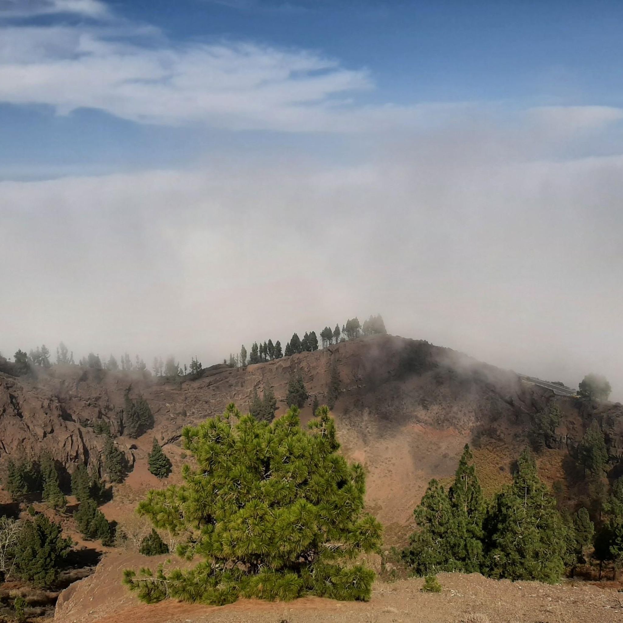
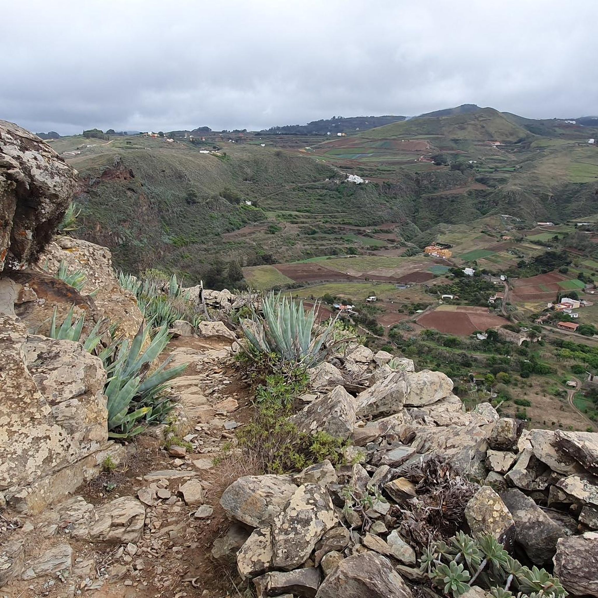
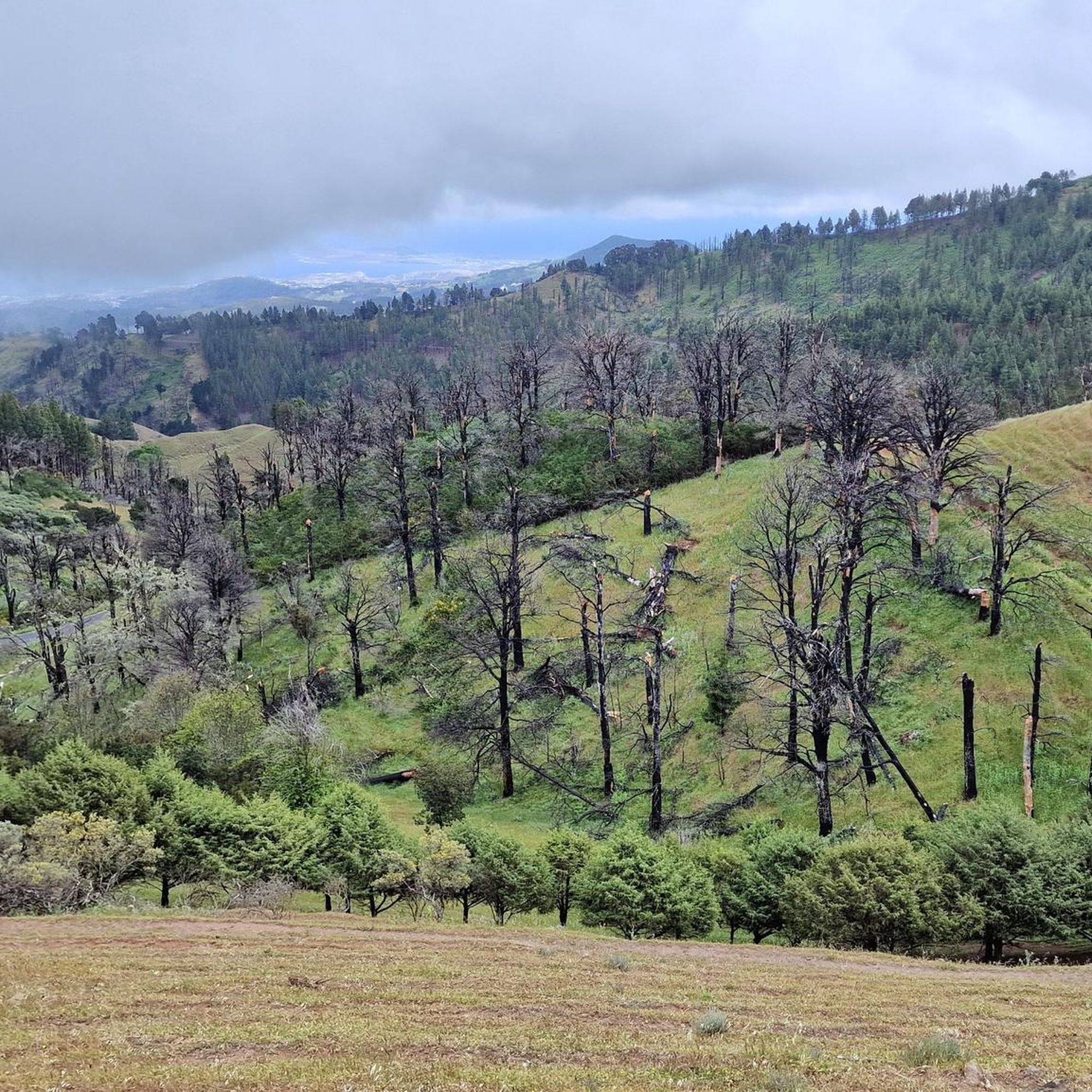
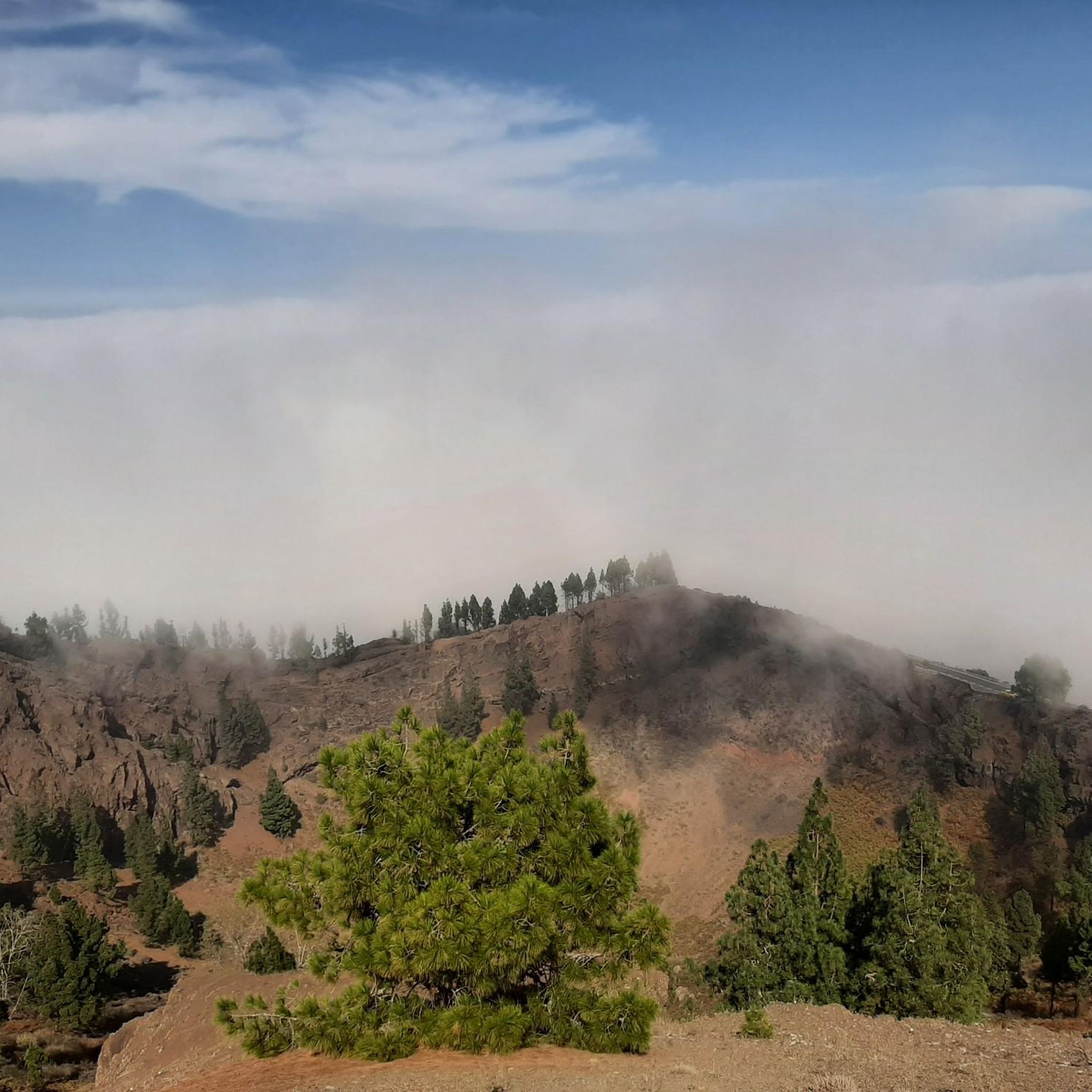


Tips from the Community

Beautiful view up to the highest mountain in Spain in Tenerife.
0
0

We almost missed the turnoff, but luckily we just went up – and it was worth it! Good handholds and footholds are available for the final climbs.
0
0

very beautiful landscapes
2
0

A worthwhile summit with a fantastic view. Be sure to climb and enjoy!
1
0
Great view, super panorama. Attractive and beautiful!
2
0
The ascent to the summit leads through romantic pine forests on well-developed paths. Highly recommended if you want to travel north on Gran Canaria.
1
0

The Roque Nublo, located in the municipality of Tejeda on the island of Gran Canaria, is considered one of the largest natural rocks in the world. It is a symbol of the island and of great importance to its inhabitants. It rises 80 metres above its base and 1,813 metres above sea level. It was a place of worship for the indigenous people. In 1987, its surroundings were declared a nature reserve and seven years later a rural park. Its gigantic appearance is only surpassed by the Pico de Las Nieves, which is the highest point in Gran Canaria at 1,949 metres above sea level.
5
0

It is very worthwhile to climb up to Roque Nublo not only to see the rock formation itself, but also to enjoy the spectacular views it offers from above. The sunsets are incredible.
3
1
Frequently Asked Questions
What are some of the most prominent mountain peaks to explore in the Gáldar region?
Within the Gáldar municipality, Montaña de Gáldar (also known as Pico de la Atalaya) is a significant volcanic cone. From elevated areas in Gáldar, you can also enjoy views of other major Gran Canaria peaks such as Roque Nublo, Pico de las Nieves summit, and Tamadaba Peak.
What makes Montaña de Gáldar (Pico de la Atalaya) a significant peak to visit?
Montaña de Gáldar is an emblematic conical stratovolcano with rich history. It was originally known as 'mountain of the king' in Amazigh and later served as a 16th-century watchtower. From its summit, you can enjoy exceptional panoramic views of the coastline, banana plantations, the Atlantic Ocean, and other distant peaks, even Tenerife on clear days.
What kind of views can I expect from the mountain peaks around Gáldar?
The peaks around Gáldar offer diverse and breathtaking views. From Montaña de Gáldar, you can see the northern coastline and the Atlantic. Higher areas, often referred to as the 'Altos de Gáldar,' provide impressive vistas of Gran Canaria's interior, including the Caldera de Tejeda, the town of Tejeda, the Sacred Mountains, and the iconic Roque Nublo.
Are there historical or archaeological sites associated with the mountains in Gáldar?
Yes, the mountains in Gáldar are rich in history. Montaña de Gáldar itself has pre-Hispanic significance as an ancient settlement. The 'Altos de Gáldar' region features hiking trails that pass through traditional terraced areas, troglodyte hamlets with cave houses, and archaeological sites like Cuevas de Caballero, believed to have ceremonial uses with ancient engravings.
What are the typical hiking conditions and difficulty levels for trails around Gáldar's peaks?
The ascent to Montaña de Gáldar is considered moderate to challenging, involving steep streets transitioning into a dirt and volcanic rock trail. Trails in the 'Altos de Gáldar' can range from moderate to high difficulty, depending on elevation gain and terrain, offering a blend of volcanic landscapes, pine forests, and ancient sites.
What natural features can I see when exploring the mountain peaks near Gáldar?
You'll encounter diverse natural features, including volcanic landscapes, such as the conical stratovolcano of Montaña de Gáldar and the volcanic soil near Montañón Negro. The 'Altos de Gáldar' also feature Canary Island pine forests, offering a chance to experience different ecosystems and local flora.
Are there family-friendly hiking options around the mountain peaks in Gáldar?
While the main ascent to Montaña de Gáldar can be moderate to challenging, an accessible driving route reaches halfway to the summit, making the upper views more accessible. For general family-friendly options, it's best to look for specific trails within the broader 'Altos de Gáldar' that are designated as easier walks, though specific family-friendly highlights are not detailed for this area.
What outdoor activities can I do near the mountain peaks of Gáldar?
Beyond hiking, the Gáldar region offers various outdoor activities. You can find numerous road cycling routes, running trails, and gravel biking routes that explore the diverse landscapes around the peaks.
What is the best time to visit the mountain peaks around Gáldar for hiking?
Gran Canaria generally enjoys a mild climate year-round. However, for hiking in the mountains, cooler months from autumn to spring (roughly October to May) are often preferred to avoid the intense summer heat, especially on more exposed trails. Always check local weather conditions before heading out.
Is parking available near the trailheads for Gáldar's mountain peaks?
For Montaña de Gáldar, an accessible driving route reaches halfway to the summit, with parking available nearby. For other trails within the 'Altos de Gáldar,' parking availability can vary, so it's advisable to research specific trailhead access points if driving.
Are there any specific permits required for hiking in the Gáldar mountain areas?
Generally, no specific permits are required for hiking the main trails around Montaña de Gáldar or in the 'Altos de Gáldar' region. However, always be mindful of protected natural areas and follow any posted regulations.
What are some of the most highly-rated peaks or viewpoints in the broader Gáldar area?
Visitors highly appreciate the panoramic views from Pico de las Nieves summit, the highest point of Gran Canaria, and the calm nature experience at Tamadaba Peak. The iconic Roque Nublo is also a significant natural monument visible from many points in the region.
Most popular attractions around Gáldar

Get inspired with the komoot mobile app


Explore more
See even more amazing summits around Gáldar with these guides:
