The best running trails around Gáldar
3.6
(13)
481
runners
29
runs
Jogging around Gáldar offers a diverse landscape for runners. The region features volcanic terrain, including craters and volcanic gravel, alongside a rugged northern coastline with beaches and natural pools. Higher elevations provide mountainous challenges, with pine forests and panoramic views. This variety creates a range of running surfaces and scenic backdrops for running routes.
Best jogging routes around Gáldar
- The most popular jogging route is Cueva del Zapatero – Pico de la Bandera loop from Juncalillo, a 17.9 miles…
Last updated: August 27, 2026
5.0
(5)
242
runners
28.8km
05:18
2,020m
2,020m
Hard run. Very good fitness required. Sure-footedness, sturdy shoes and alpine experience required.
2.0
(1)
25
runners
12.7km
01:26
240m
240m
Moderate run. Good fitness required. Mostly paved surfaces. Suitable for all skill levels.

Sign up for free
14
runners
12.5km
01:36
430m
430m
Hard run. Very good fitness required. Mostly accessible paths. Some sure footedness required.
14
runners
11.9km
01:20
210m
210m
Moderate run. Good fitness required. Mostly paved surfaces. Suitable for all skill levels.
12
runners
13.0km
01:40
500m
500m
Hard run. Very good fitness required. Mostly accessible paths. Some sure footedness required.
Get access to more routes and recommendations from other explorers.
Sign up for free
Already have an account?
Our route recommendations are based on thousands of hikes, rides, and runs completed by other people on komoot.
Start today with a free account
Your next adventure awaits.
Login or Signup


Tips from the Community

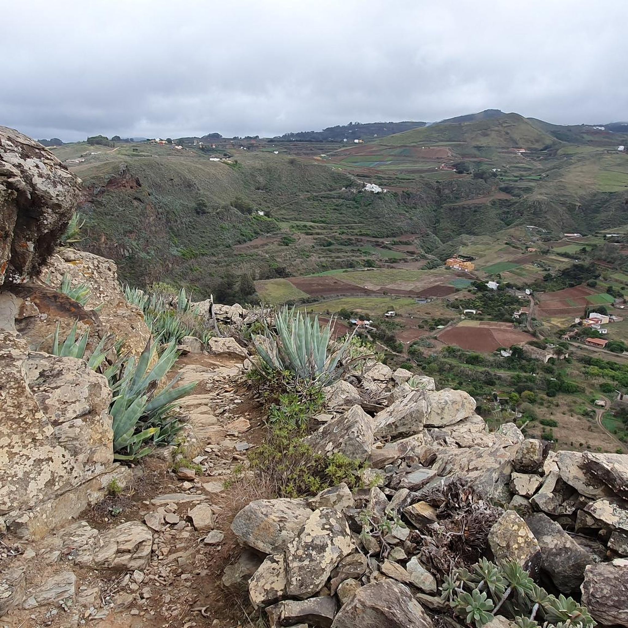
From this viewpoint, you benefit from a spectacular panorama of the cliffs that plunge abruptly towards the ocean. Between them, you can see Agaete, a small coastal town that stands out with its white houses.
0
0
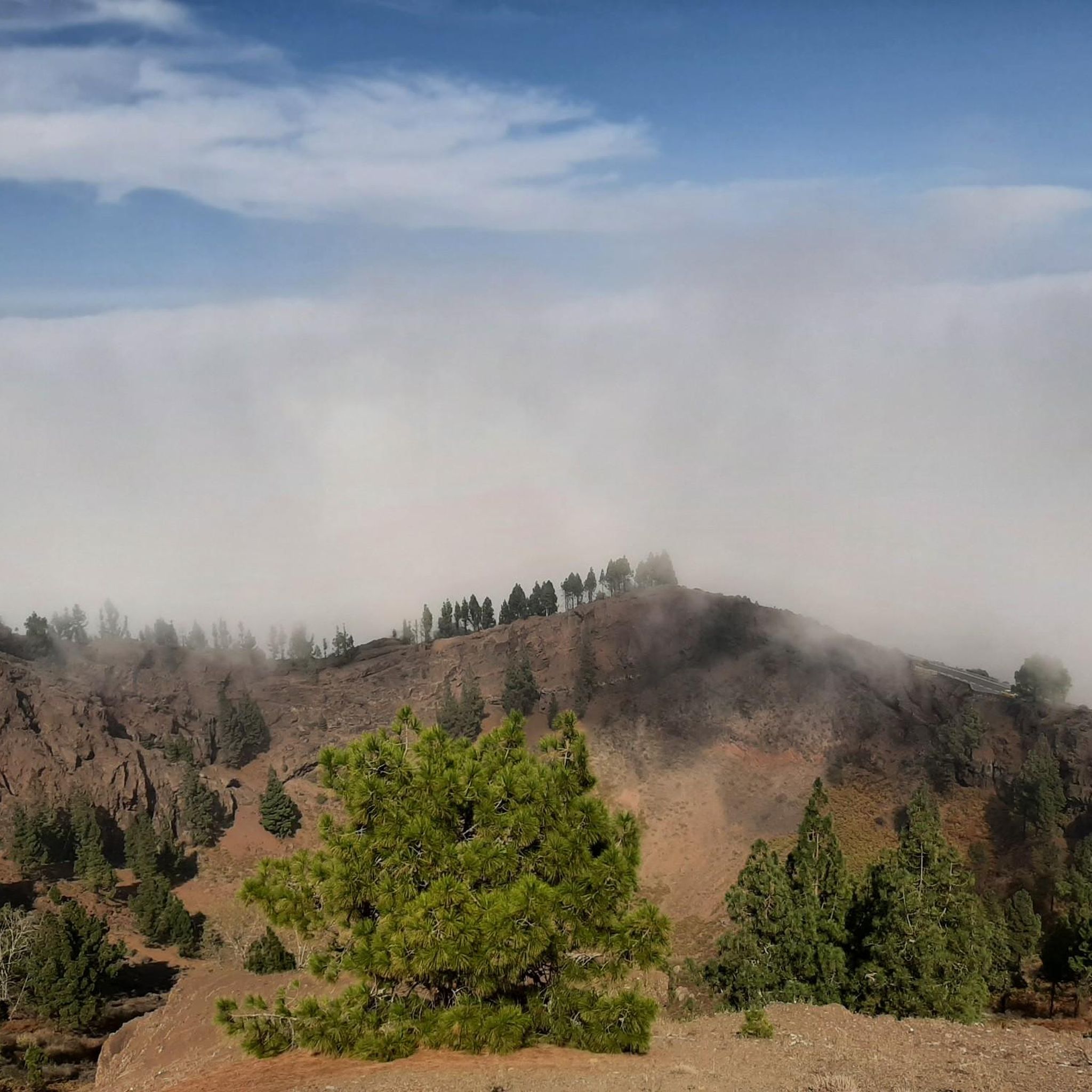
The Tamadaba pine forest is one of the best-preserved Canary pine forests. It is protected by the Tamadaba Natural Park, one of the best-preserved natural areas of Gran Canaria. It is also part of an area designated as a UNESCO Biosphere Reserve.
0
0

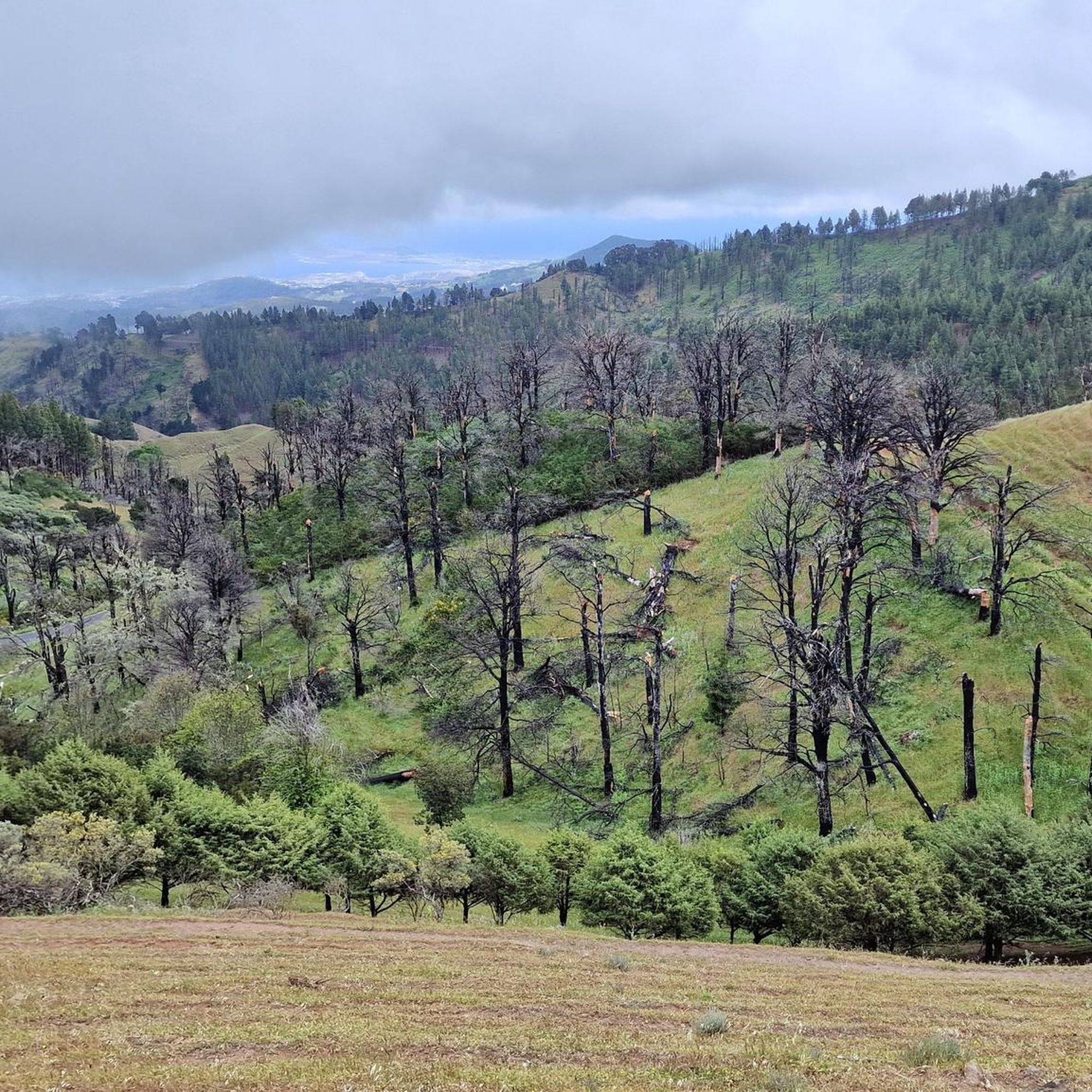
this area of trees is like charred mosaics, beauty from the flames.
0
0
A burnt forest has its beauty too and these stunning mosaic trees were just that, beautiful.
0
0

Another cave along the way in the Tamadaba pine forest.
0
0
On the way from or to San Pedro there is a drinking water point.
0
0

The museum is located in the historic center of the town of Gáldar. Its mission is to protect the historical sites there, to conduct scientific research and to communicate the findings to the general public. The institution is named after the Cueva Pintada (painted cave), which was probably created in the 7th century AD by the island's original inhabitants, the Canarios. This cave was forgotten and buried after the conquest of the Canary Islands in the 15th century. It was only rediscovered in the second half of the 19th century. Its cultural and historical significance was already recognized by foreign experts at that time. It was not until the 1970s that a detailed scientific study of the cave began. After the site was declared a Bien de Interés Cultural in 1972, it was protected against environmental influences, which caused damage, among other things, from the irrigation of the surrounding fields. In 1982, access to the cave was closed to the public and in 1987 excavations began in the surrounding area. They revealed that the cave was not an isolated object, but part of a prehistoric settlement with more than 50 houses and other caves. To protect the site, construction began on a new type of museum. An area of 5700 m² was covered. Visitors now have the opportunity to walk through and view the archaeological site on footbridges. Reconstructed aboriginal dwellings were set up and exhibition, information and laboratory rooms were created. The new museum was opened in 2006. It displays objects found on site in separate exhibition rooms, such as pintaderas, statuettes, everyday objects and jewelry made of various materials.
4
0

The museum is more than just the painted cave. it is an archaeological park with real excavation sites where you can imagine what the oldest city in Gran Canaria looked like in indigenous times.
3
0
Frequently Asked Questions
How many running routes are available in Gáldar?
Gáldar offers a diverse network of nearly 30 running routes. These include options for various fitness levels, with 5 easy, 18 moderate, and 6 difficult trails to explore.
What kind of terrain can I expect on running trails in Gáldar?
Runners in Gáldar will encounter a wide variety of terrain. The region features dramatic volcanic landscapes, including areas with volcanic soil and 'Picón' (volcanic gravel). You can also find rugged coastal paths, mountainous ascents, and refreshing runs through pine forests, particularly in areas like Altos de Gáldar.
Are there any running routes in Gáldar that offer coastal views?
Yes, Gáldar's northern coastline provides stunning scenic runs. A great option is the Faro de Sardina loop from Yacimiento Arqueológico La Guancha, El Agujero y Bocabarranco, which explores the picturesque coastline, passing beaches and natural pools. Another coastal option is the Playa de las Nieves, Agaete – Playa Boca Barranco loop from Gáldar.
What are the most challenging running routes in Gáldar?
For those seeking a significant challenge, Gáldar offers several difficult routes. The Cueva del Zapatero – Pico de la Bandera loop from Juncalillo is a demanding 28.8 km trail with substantial elevation gain through mountainous terrain, offering expansive views. Another difficult option is the Running loop from Vergara.
Are there any circular running trails in Gáldar?
Yes, many of the running routes in Gáldar are designed as loops, allowing you to start and finish in the same location. Examples include the Faro de Sardina loop from Faro de Punta Sardina and the Faro de Sardina loop from Yacimiento Arqueológico La Guancha, El Agujero y Bocabarranco, both offering scenic coastal experiences.
What kind of natural features or landmarks can I see along the running routes?
Gáldar's routes are rich in natural beauty and historical sites. You can encounter volcanic craters like Caldera de los Pinos, rugged cliffs along the coastline, and pine forests in higher elevations. Some trails may even pass by aboriginal caves such as Cuevas de Caballero. For impressive views, you might spot distant peaks like Roque Nublo or Pico de las Nieves summit.
Are there any waterfalls or lakes near the running trails in Gáldar?
While Gáldar is known for its volcanic and coastal landscapes, there are some water features in the broader region. You might find highlights such as El Charco de la Paloma, which is a waterfall, or dams like Los Hornos Dam and Los Pérez Dam, which create small lakes. These can be found in the surrounding areas and might be incorporated into longer running adventures.
What do other runners enjoy most about jogging in Gáldar?
The running routes in Gáldar are highly regarded by the komoot community, with an average rating of 3.5 stars from over 10 reviews. Runners frequently praise the diverse and dramatic natural scenery, from the unique volcanic terrain to the stunning coastal paths and challenging mountain trails. The variety of routes catering to different fitness levels is also a highlight.
Is Gáldar suitable for long-distance running?
Absolutely. For those interested in long-distance running, Gáldar is part of a significant route: a 65-kilometer section of the Way of St. James of Gran Canaria concludes in the town. Additionally, routes like the Cueva del Zapatero – Pico de la Bandera loop from Juncalillo offer a substantial 28.8 km challenge.
Are running routes in Gáldar generally dog-friendly?
While specific regulations can vary, many natural trails in Gáldar are generally accessible for dogs, especially if kept on a leash. It's always recommended to check local signage or specific route details for any restrictions, particularly in protected natural areas. Ensure your dog is well-behaved and that you carry waste bags.
What is the best season for running in Gáldar?
Gran Canaria generally enjoys a mild climate year-round, making Gáldar suitable for running in most seasons. However, the cooler months from autumn to spring (October to May) are often preferred for longer or more strenuous runs, as summer temperatures can be quite high, especially at midday. Early mornings or late afternoons are ideal during warmer periods.
Most popular attractions around Gáldar

Get inspired with the komoot mobile app


Explore more
Browse the best Running Trails & Routes in other regions.
