The best mountain hikes around Gáldar
5.0
(19)
125
hikers
15
hikes
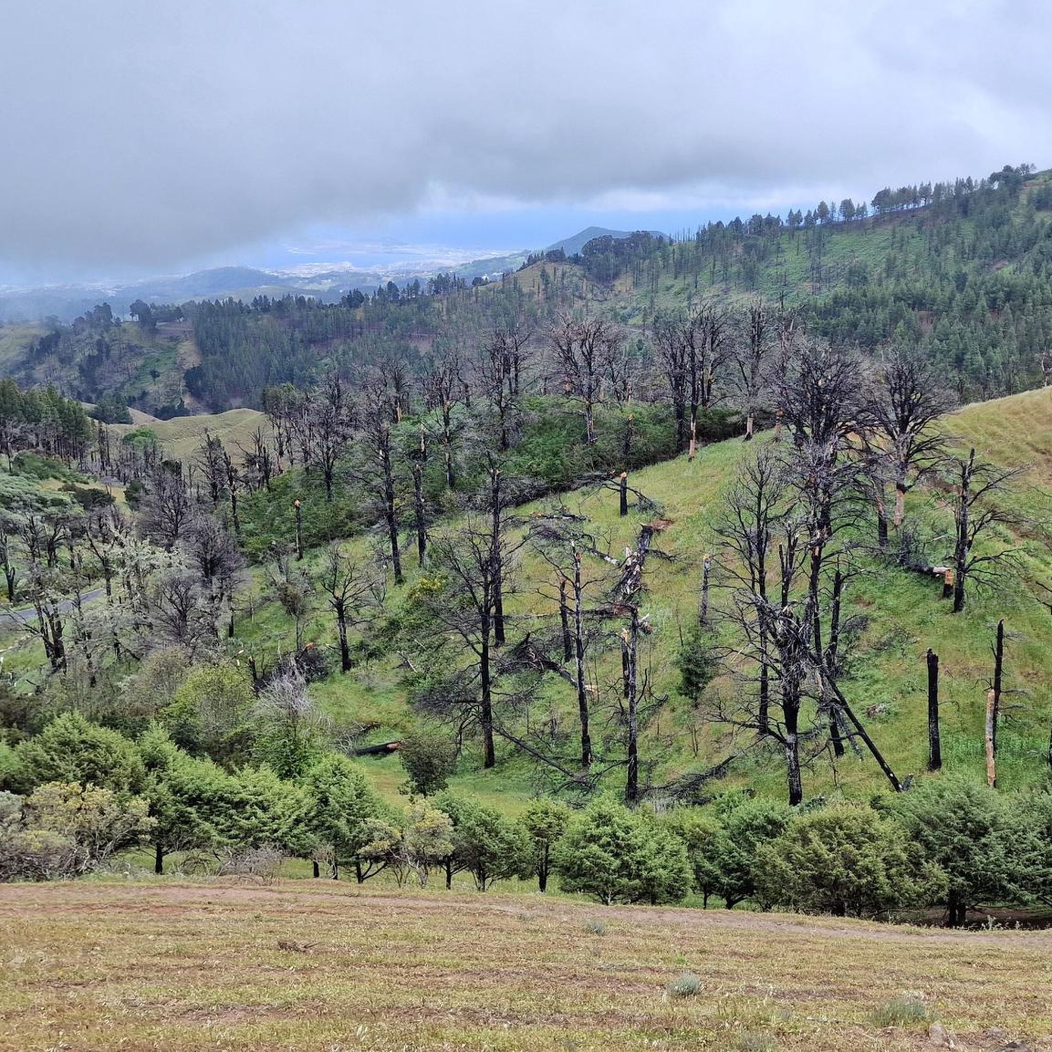
Mountaineering routes around Gáldar traverse a diverse landscape in northern Gran Canaria, characterized by dramatic volcanic formations and lush Canary Island pine forests. The region features remnants of ancient volcanoes like El Montañón Negro and Montaña de Gáldar, offering panoramic views. Higher elevations provide access to vistas of iconic landmarks such as Roque Nublo and Pico de las Nieves. The varied terrain includes both rugged volcanic areas and serene forest paths, making it suitable for a range of mountaineering experiences.
…Last updated: August 25, 2026
5.0
(6)
47
hikers
3.23km
01:09
160m
160m
Moderate mountaineering route. Great for any fitness level. Mostly accessible paths. Sure-footedness required.
5.0
(3)
10
hikers
10.2km
03:24
500m
500m
Moderate mountaineering route. Good fitness required. Mostly accessible paths. Sure-footedness required.

Sign up for free
5.0
(2)
10
hikers
5.98km
01:53
230m
230m
Moderate mountaineering route. Great for any fitness level. Mostly accessible paths. Sure-footedness required.
5.0
(3)
13
hikers
6.96km
02:38
410m
410m
Moderate mountaineering route. Good fitness required. Mostly accessible paths. Sure-footedness required.
5.0
(3)
7
hikers
8.05km
03:27
510m
510m
Hard mountaineering route. Good fitness required. Sure-footedness, sturdy shoes and alpine experience required.
Get access to more routes and recommendations from other explorers.
Sign up for free
Already have an account?
Our route recommendations are based on thousands of hikes, rides, and runs completed by other people on komoot.
Start today with a free account
Your next adventure awaits.
Login or Signup
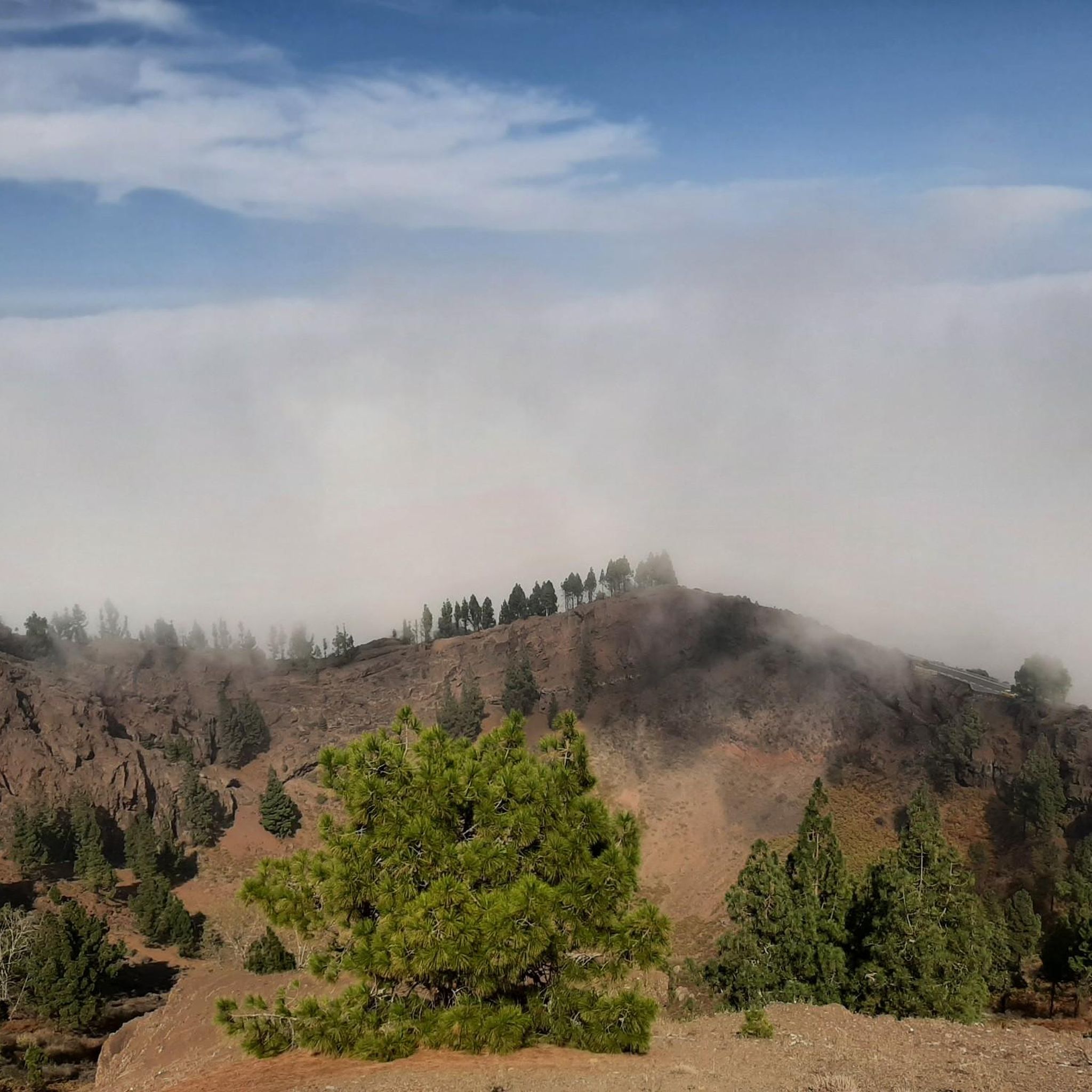
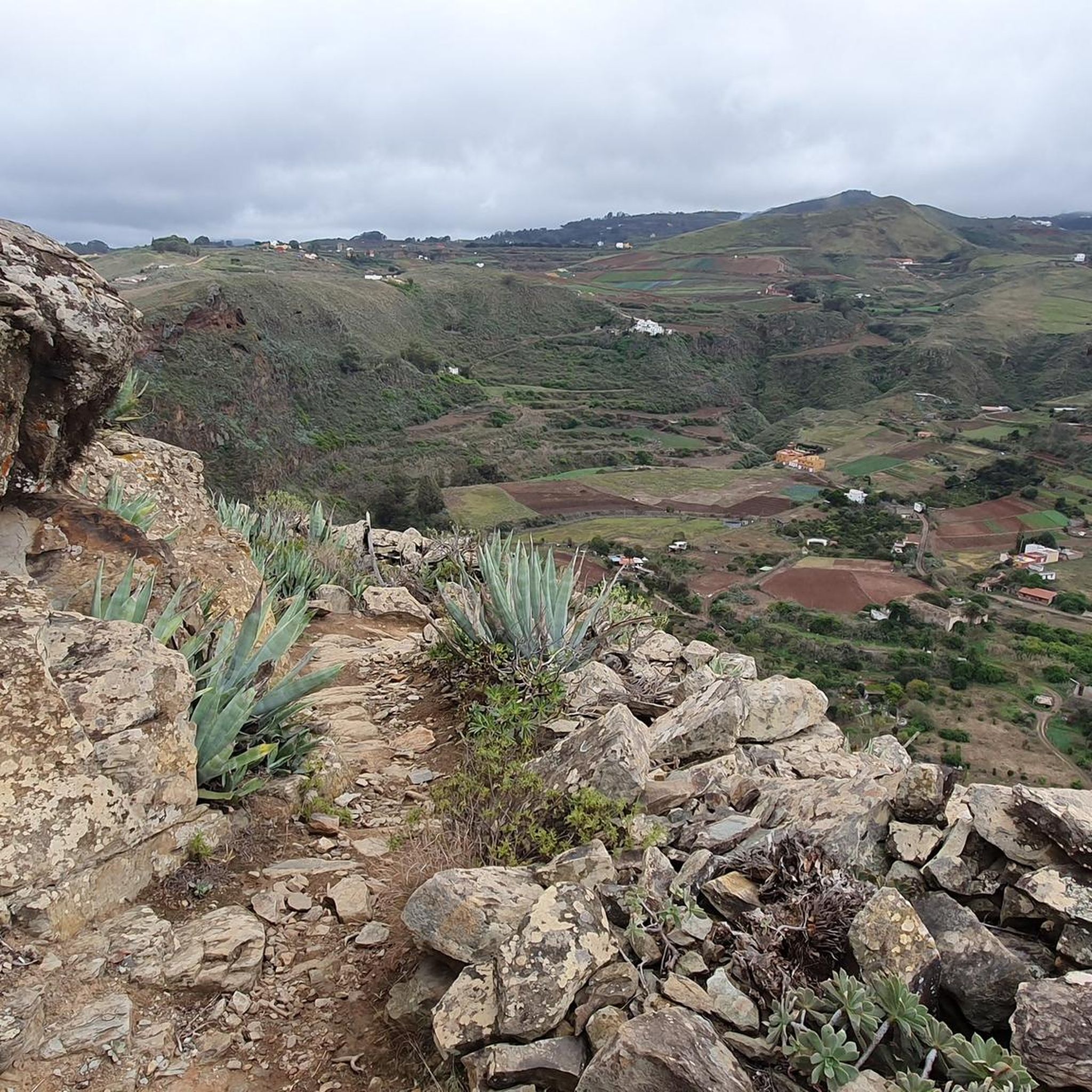
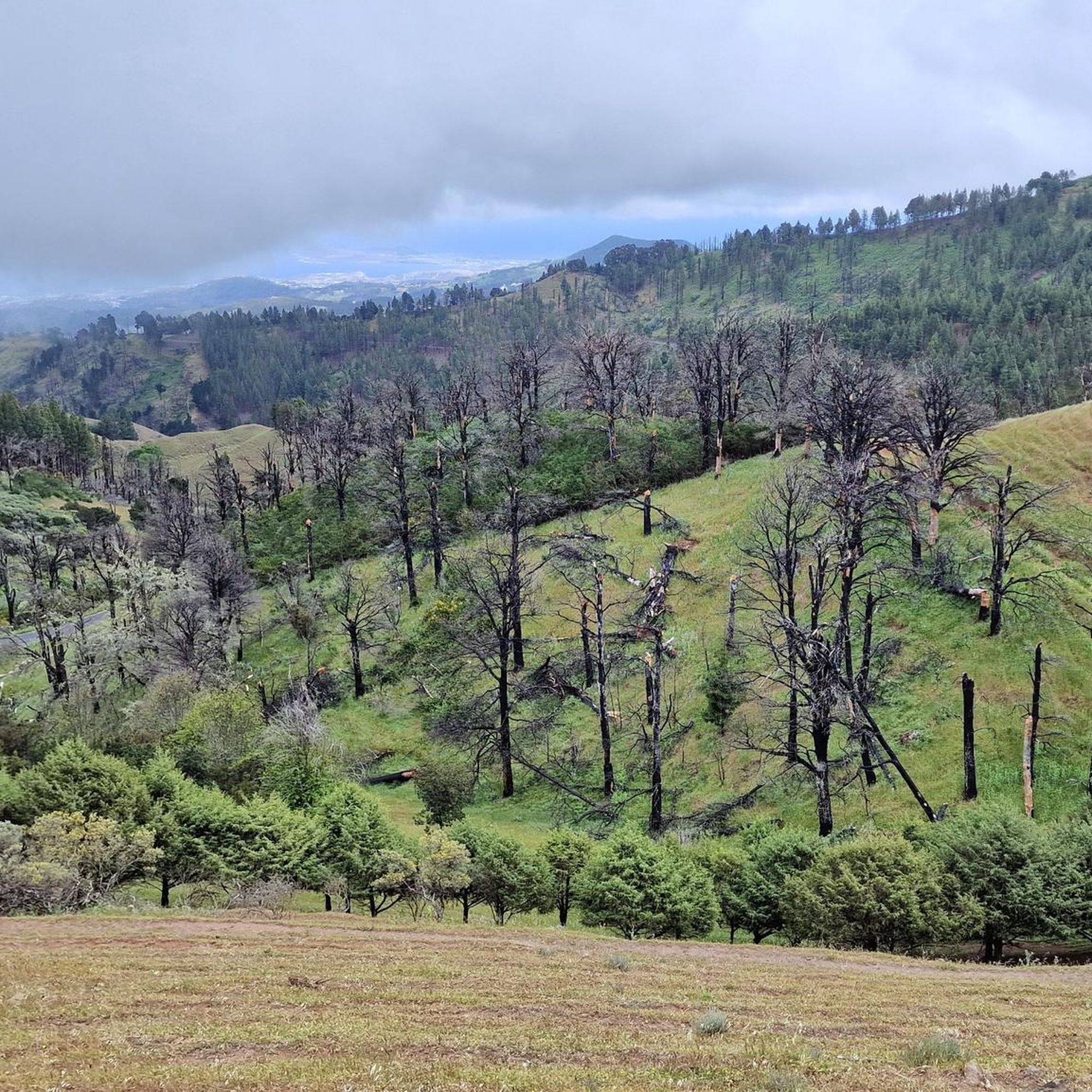
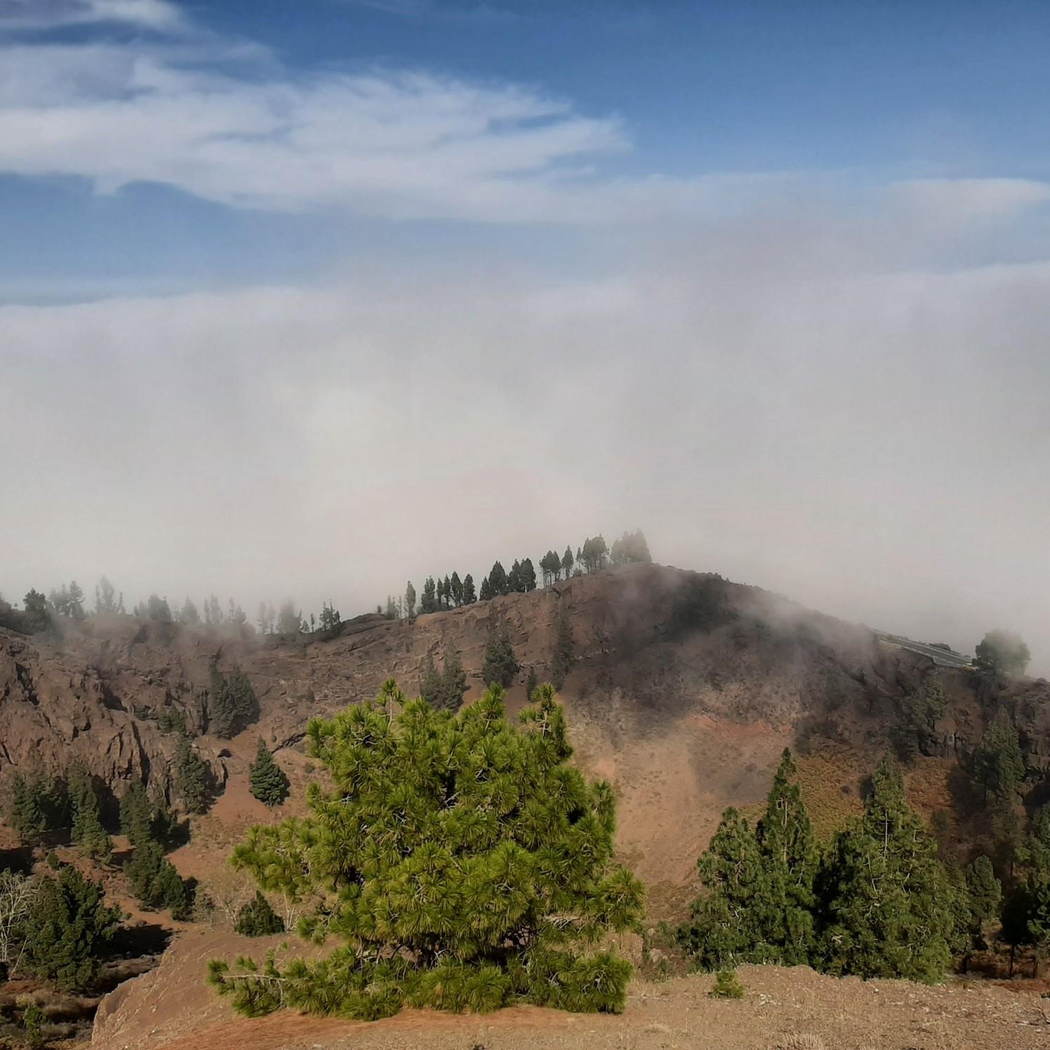

Tips from the Community

Located in the heart of Gran Canaria, La Culata is part of the municipality of Tejeda. It is made up of traditional houses built on the cliff face from which it gets its name. From the heights of the village, you can see the distribution of the houses and the terraced crops that adapt to the hills.
0
0
In a magnificent location in the middle of pine forests, you can choose here to take the upper or lower hiking trail to climb to Pico de las Nieves.
0
0

Our path to Roque Nublo leads here through a sparse pine forest.
0
0
In clear weather, the view from here extends all the way to Tenerife.
0
0

From here you have a wonderful view.
1
0
Beautiful view of the island's highest mountain.
0
0
From here we have a beautiful view of the Roque Nublo.
1
0
Frequently Asked Questions
How many mountaineering routes are there in Gáldar?
Gáldar offers a selection of over 15 distinct mountaineering routes. These trails traverse the diverse landscapes of northern Gran Canaria, providing options for various skill levels.
Are there any easy or beginner-friendly mountaineering routes around Gáldar?
While most routes around Gáldar are moderate to difficult, there is at least one easy route available. For those new to mountaineering, it's advisable to start with routes classified as moderate, such as the Roque Nublo – View of Roque Nublo loop from Gran Canaria, which is a 2.0-mile trail offering iconic views.
Can I find challenging or advanced mountaineering routes in the Gáldar area?
Yes, Gáldar is well-suited for experienced mountaineers, with nine routes classified as difficult. These trails often involve significant elevation changes and rugged volcanic terrain, providing a demanding and rewarding experience. You'll find routes that explore the dramatic volcanic formations and higher elevations of the region.
Are there circular mountaineering routes available near Gáldar?
Many of the mountaineering routes in the Gáldar area are designed as loops, allowing you to start and end at the same point. Examples include the View of Roque Nublo – Roque Nublo Cave loop from Gran Canaria and the La Culata Church – La Culata village loop from Tejeda, which offer varied terrain and scenic vistas.
What kind of natural features or landscapes will I encounter on mountaineering routes in Gáldar?
Mountaineering routes in Gáldar showcase a rich variety of landscapes. You'll traverse dramatic volcanic terrain, including remnants of ancient volcanoes like El Montañón Negro and Montaña de Gáldar. Many trails also lead through lush Canary Island pine forests, especially in the Altos de Gáldar, and offer panoramic views of the coast and iconic landmarks like Roque Nublo and Pico de las Nieves.
Are there any significant landmarks or attractions to see along the mountaineering trails?
Absolutely. Many routes offer views of or pass by significant landmarks. You can expect to see the iconic Roque Nublo, a natural monument, and the highest point of the island, Pico de las Nieves summit. The region also features beautiful Canary Pine Forests and archaeological sites, particularly along routes in the Altos de Gáldar.
What do other mountaineers say about the routes in Gáldar?
The mountaineering routes around Gáldar are highly regarded by the komoot community, boasting an average rating of 4.75 stars from over 25 reviews. Mountaineers frequently praise the dramatic volcanic landscapes, the stunning panoramic views, and the diverse terrain that offers a rewarding experience for all skill levels.
Is it possible to reach mountaineering trailheads in Gáldar using public transport?
While some areas of Gran Canaria are accessible by bus, reaching specific mountaineering trailheads, especially in the higher elevations like Altos de Gáldar or near Roque Nublo, can be challenging with public transport alone. It's advisable to check local bus schedules and routes in advance, as some trailheads may require a car or a combination of bus and taxi for convenient access.
Are there family-friendly mountaineering options in Gáldar?
For families, it's best to look for routes classified as easy or moderate with shorter distances. While specific family-designated routes aren't highlighted, the Roque Nublo – View of Roque Nublo loop from Gran Canaria is a moderate 2.0-mile trail that could be suitable for active families, offering impressive views without excessive difficulty.
What is the best time of year for mountaineering in Gáldar?
Gáldar offers good mountaineering conditions year-round due to Gran Canaria's mild climate. However, the spring and autumn months (April-May and September-October) are often considered ideal, with pleasant temperatures and less chance of extreme heat or heavy rainfall. Winter can also be excellent, though higher elevations might experience cooler temperatures and occasional cloud cover.
Are there any specific parking considerations for mountaineering routes in Gáldar?
Parking availability can vary depending on the trailhead. For popular spots like those near Roque Nublo or Pico de las Nieves, designated parking areas exist but can fill up quickly, especially during peak season. For less frequented routes, roadside parking might be an option, but always ensure you are not obstructing traffic or private access. It's recommended to arrive early, especially on weekends.
What are some of the longer mountaineering routes available?
If you're looking for longer mountaineering experiences, routes like the La Culata Church – La Culata village loop from Tejeda cover over 6 miles (10 km) and typically take more than three hours to complete. These longer trails allow for a deeper immersion into the diverse landscapes of the region, including pine forests and volcanic areas.
Most popular attractions around Gáldar

Get inspired with the komoot mobile app


Explore more
Browse the best Mountain Hikes & Routes in other regions.
