The best running trails around Caminomorisco
95
runners
14
runs
Jogging routes around Caminomorisco traverse the diverse landscapes of the Las Hurdes region, characterized by a network of mountains, valleys, forests, rivers, and waterfalls. The terrain offers varied running surfaces, from accessible paths along riverbeds to more challenging routes with significant elevation changes. Woodlands of holm oaks, strawberry trees, and junipers are common, alongside alder groves lining the rivers. This varied environment provides a range of running experiences for different fitness levels.
Best jogging routes around Caminomorisco
- The most popular…
Last updated: June 27, 2026
9
runners
Moderate run. Good fitness required. Mostly accessible paths. Some sure footedness required.
4
runners
8.41km
00:59
160m
150m
Moderate run. Good fitness required. Mostly accessible paths. Some sure footedness required.

Sign up for free
2
runners
12.4km
01:37
380m
380m
Hard run. Very good fitness required. Mostly accessible paths. Some sure footedness required.
2
runners
2.59km
00:21
140m
140m
Moderate run. Good fitness required. Mostly accessible paths. Some sure footedness required.
1
runners
12.6km
01:46
570m
580m
Hard run. Very good fitness required. Mostly accessible paths. Some sure footedness required.
Get access to more routes and recommendations from other explorers.
Sign up for free
Already have an account?
Our route recommendations are based on thousands of hikes, rides, and runs completed by other people on komoot.
Start today with a free account
Your next adventure awaits.
Login or Signup
Tips from the Community

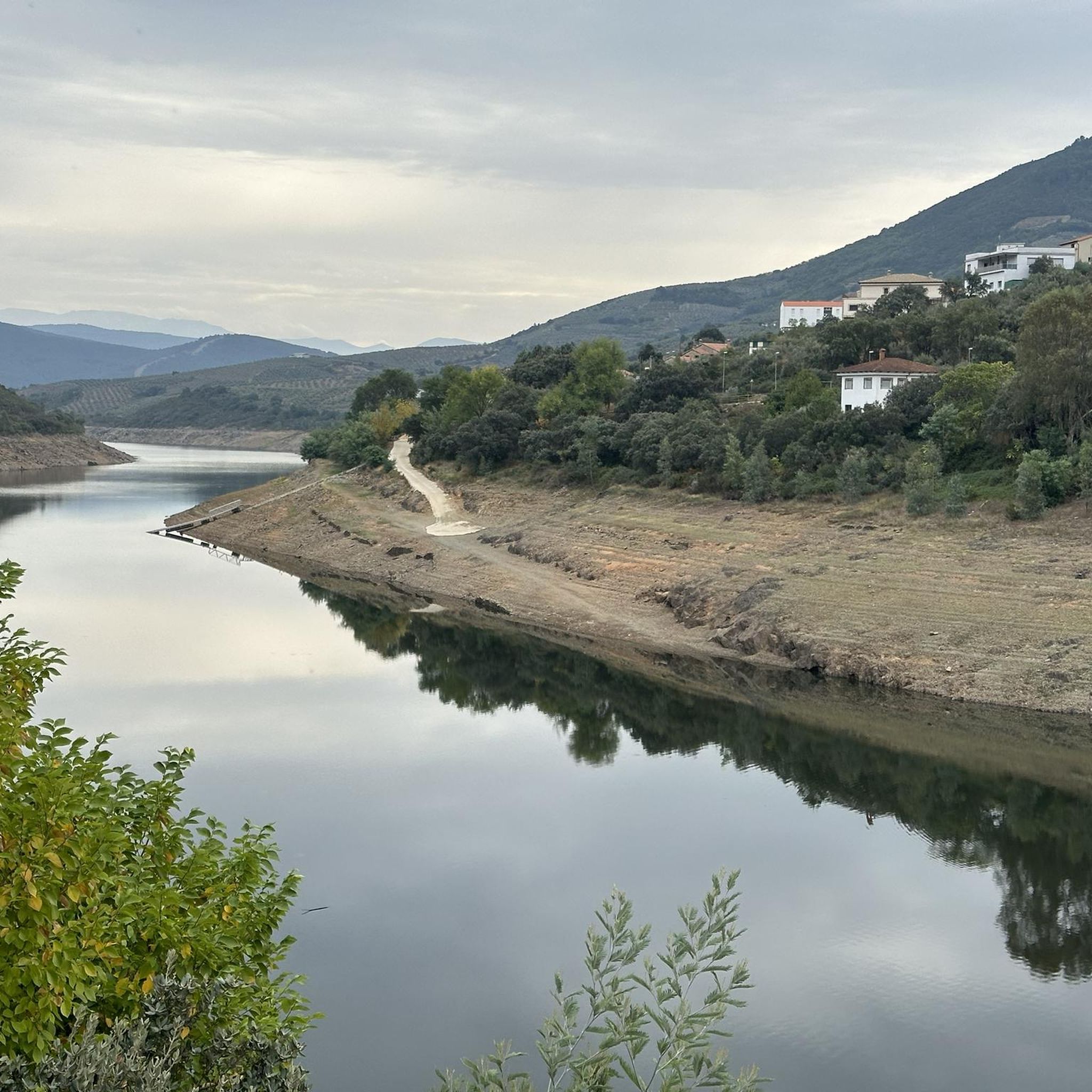
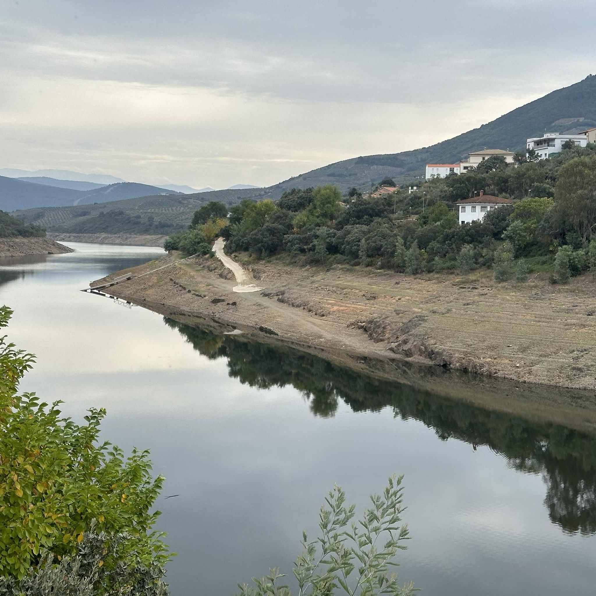
The Soto Bridge, also known as the Roman Bridge of Sotoserrano, is a historic stone structure that spans the Alagón River in the Las Batuecas-Sierra de Francia Natural Park. It is located in the town of Sotoserrano, famous for being at the confluence of three rivers: the Alagón, the Francia, and the Cuerpo de Hombre. The bridge is one of the town's symbols and a key point on several hiking and cycling routes.
1
0
The Chorro de la Meancera is an impressive waterfall located in the hamlet of El Gasco, in the region of Las Hurdes, Cáceres. This waterfall is one of the highest and most aesthetic in the region, with a drop of approximately 100 meters. The best time to visit the Chorro de la Meancera is from autumn to spring, when the water flow is greater due to the rains. In summer, the flow may be lower, but the beauty of the place is still impressive.
3
0
The Mirador Pico Blanco in La Pesga, Extremadura, is a spectacular place to enjoy panoramic views. Located at the highest point in the area, it offers stunning views to the north of Las Hurdes and to the south of the Gabriel y Galán reservoir, the lands of Granadilla and the abandoned town of Granadilla.
4
0

After a steep, well-paved climb you reach this magnificent place, don't let anything stop you
1
0

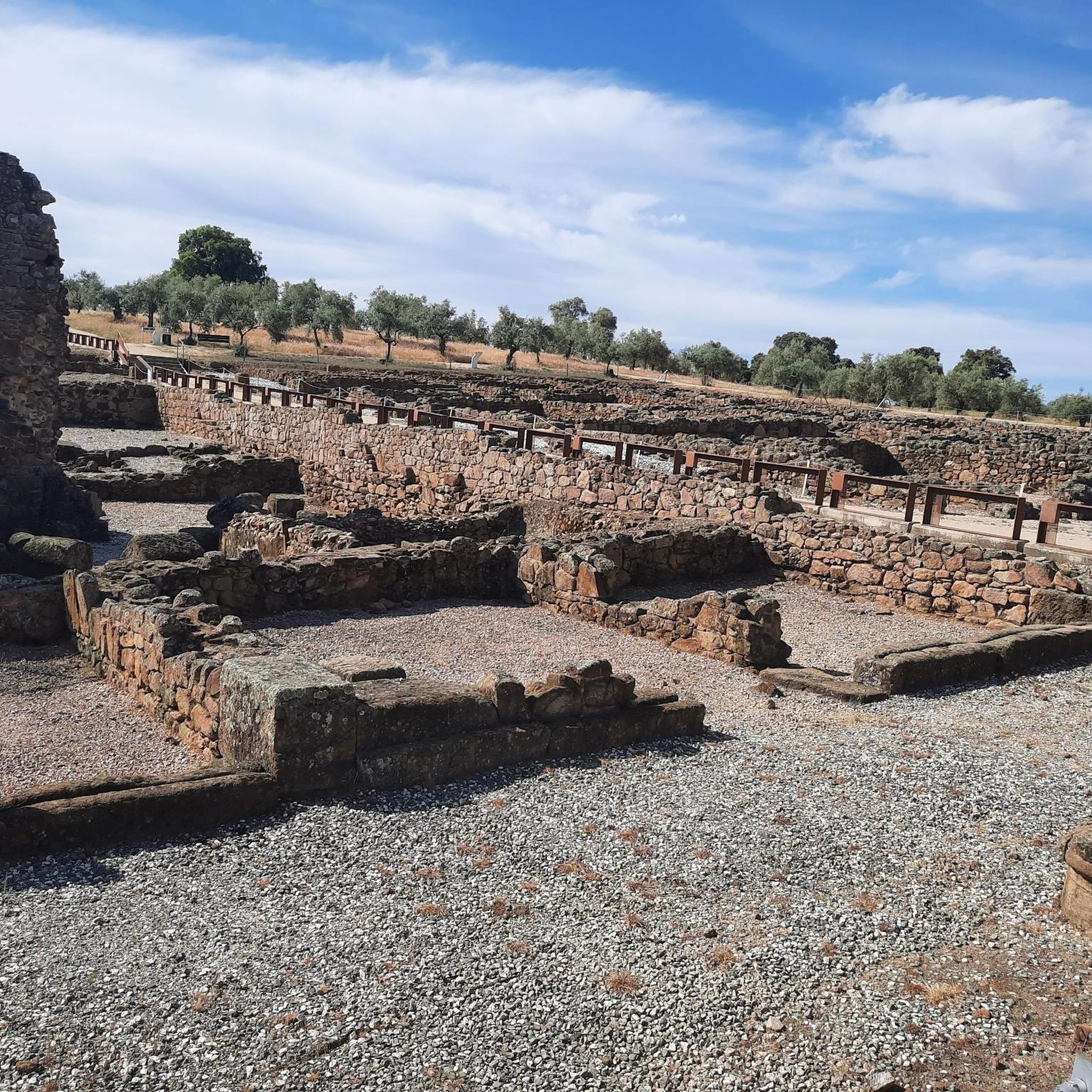
The current bridge is not Roman, it does not preserve any of its characteristics, not even in the foundations. But it is without a doubt a beautiful and spectacular bridge in a very beautiful enclave.
1
0

One of the places to visit if you are in the town of Sotoserrano is undoubtedly the Roman bridge that crosses the Alagón river. It can be seen from the Los Tres Ríos trail, a very picturesque circular itinerary that you can start in the town of Sotoserrano.
3
0
Located in a remote place within the Sierra de Francia Park, the waterfall is temporary, that is, it depends on the water depending on the rainy season, but even if you visit it when it is dry, the landscape that surrounds it is spectacular!
1
1
Frequently Asked Questions
How many running routes are available around Caminomorisco?
There are over 10 dedicated running routes around Caminomorisco listed on komoot, catering to various fitness levels. These include a mix of moderate and challenging trails through the region's diverse landscapes.
Are there any easy running routes suitable for beginners or families?
While most routes are moderate to difficult, the region offers gentler options. For a relaxing jog, consider the "Sendero de la Pesquera" near Casar de Palomero, which follows the Los Ángeles River. Although not explicitly listed as easy in the guide data, its description suggests a tranquil experience.
What are some challenging running trails for experienced runners?
For experienced runners seeking a challenge, the Peña Carbonera and Peña del Huevo Trail is a difficult 12.4 km (7.7 miles) route with significant elevation. Another demanding option is the Mirador del Pico Blanco – circular from La Pesga, which covers 12.6 km (7.8 miles) with substantial climbs, offering rewarding panoramic views.
Are there any circular running routes in the area?
Yes, Caminomorisco offers several circular running routes. A popular choice is the Route of the Three Rivers - running circular from Sotoserrano, a moderate 8.4 km (5.2 miles) path that provides scenic views along its course. The Mirador del Pico Blanco – circular from La Pesga is another excellent circular option for those looking for a more challenging run.
What kind of scenery can I expect on the jogging routes around Caminomorisco?
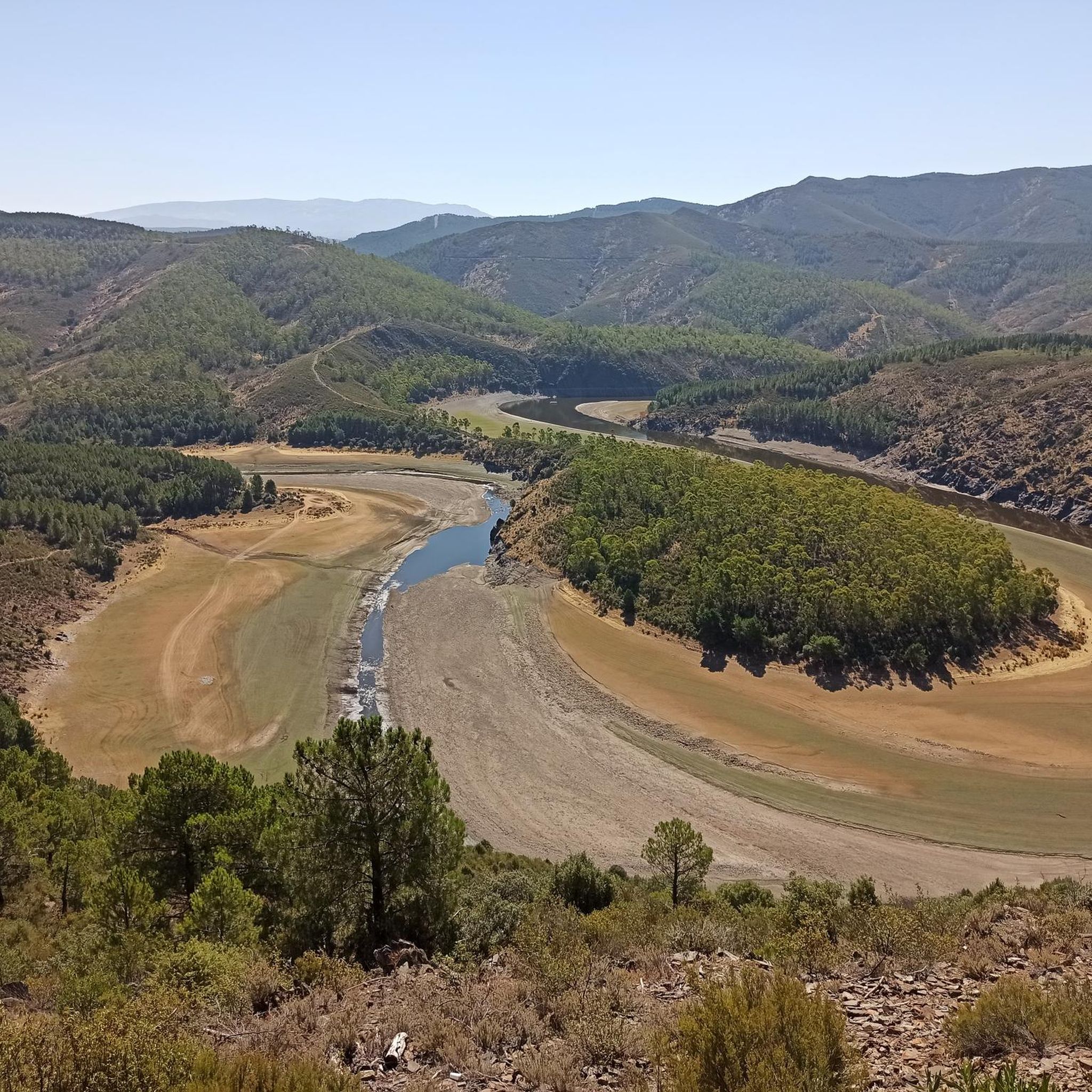
The region boasts diverse and picturesque scenery. You'll encounter a labyrinth of mountains, valleys, dense forests of holm oaks and cork oaks, and alder groves along rivers. Notable natural features include the serene Pantano de las Tapias (Tapias Reservoir), the impressive Meandro del Melero river formation, and the beautiful Chorrerón del Tajo waterfall. Many routes offer stunning viewpoints like the Pico Blanco Viewpoint.
Are there any waterfalls or natural swimming areas along the running trails?
Yes, the area is known for its natural water features. You can find the beautiful Chorrerón del Tajo waterfall, and the Alavea River offers natural swimming areas, particularly popular in summer. The Chorro de las Batuecas via the Valle de las Batuecas Route leads through a natural park with river features, and the Chorro de la Meancera is another notable waterfall in the vicinity.
What are some points of interest or landmarks to see while running?
Beyond the natural beauty, you can discover several points of interest. The View of Meandro del Melero offers breathtaking vistas of the Alagón River's dramatic bend. You might also encounter the San Marcos Lagoon or the Peña Huevo summit. The Soto Bridge - Alagón River is another scenic spot.
Is Caminomorisco suitable for dog-friendly running?
While specific dog-friendly route designations are not provided, the natural and varied terrain of Caminomorisco, with its extensive network of trails through forests and along rivers, generally offers a welcoming environment for running with dogs. Always ensure your dog is well-behaved and kept on a leash where required, especially in protected natural areas.
What is the best time of year to go running in Caminomorisco?
Caminomorisco offers good running conditions throughout much of the year. The area around the Alavea River is particularly popular in summer for its pleasant routes and natural swimming spots. Spring and autumn provide milder temperatures, ideal for longer runs, with vibrant foliage or blooming wildflowers. Winters can be cooler but still offer opportunities for invigorating runs.
Are there any long-distance running options in the region?
Yes, for those looking for longer runs, the region provides several options. The Peña Carbonera and Peña del Huevo Trail is 12.4 km (7.7 miles), and the Mirador del Pico Blanco – circular from La Pesga is 12.6 km (7.8 miles). Additionally, the "Ruta a la Presa de las Tapias desde La Pesga" is a moderate 10.8 km (6.7 miles) trail perfect for exploring the scenic reservoir and surrounding Las Hurdes region.
What do other runners say about the trails in Caminomorisco?
The running routes in Caminomorisco are highly regarded by the komoot community. Over 85 runners have used komoot to explore the varied terrain, often praising the diverse landscapes, from river meanders and reservoirs to waterfalls and dense forests, which provide a range of experiences for different ability levels.
Most popular attractions around Caminomorisco

Get inspired with the komoot mobile app


Explore more
Browse the best Running Trails & Routes in other regions.
