The best cycling routes around Caminomorisco
4.1
(9)
195
riders
21
rides
Touring cycling routes around Caminomorisco navigate the diverse landscapes of the Las Hurdes region in Cáceres, Extremadura. The area features undulating hills, mountains, and river valleys, providing varied terrain for cyclists. Mediterranean forests of oak, cork oak, and holm oak characterize much of the natural environment. Rivers like the Alagón have carved impressive formations, contributing to the region's distinct topography.
Best touring cycling routes around Caminomorisco
- The most popular touring cycling route is Meandro Melero - circular from Sotoserrano,…
Last updated: June 26, 2026
3.3
(3)
8
riders
27.3km
02:01
430m
430m
Moderate bike ride. Good fitness required. Mostly paved surfaces. Suitable for all skill levels.
3
riders
Hard bike ride. Very good fitness required. Mostly paved surfaces. Suitable for all skill levels.

Sign up for free
14
riders
45.6km
03:20
1,010m
1,010m
Hard bike ride. Very good fitness required. Mostly paved surfaces. Suitable for all skill levels.
13
riders
57.5km
04:48
1,020m
1,020m
Hard bike ride. Very good fitness required. Mostly paved surfaces. Suitable for all skill levels.
18
riders
82.4km
06:03
1,860m
1,860m
Hard bike ride. Very good fitness required. Mostly paved surfaces. Suitable for all skill levels.
Get access to more routes and recommendations from other explorers.
Sign up for free
Already have an account?
Our route recommendations are based on thousands of hikes, rides, and runs completed by other people on komoot.
Start today with a free account
Your next adventure awaits.
Login or Signup
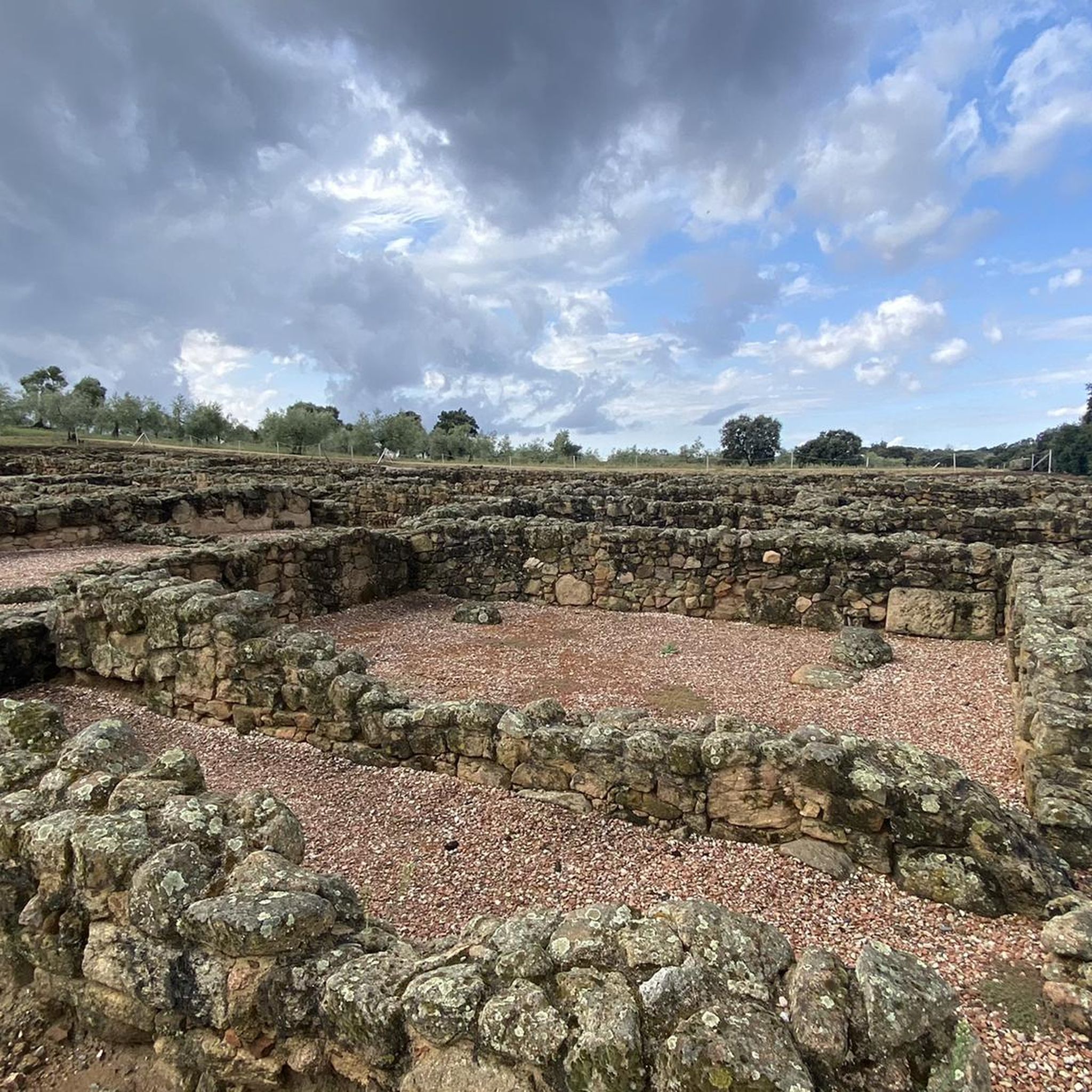
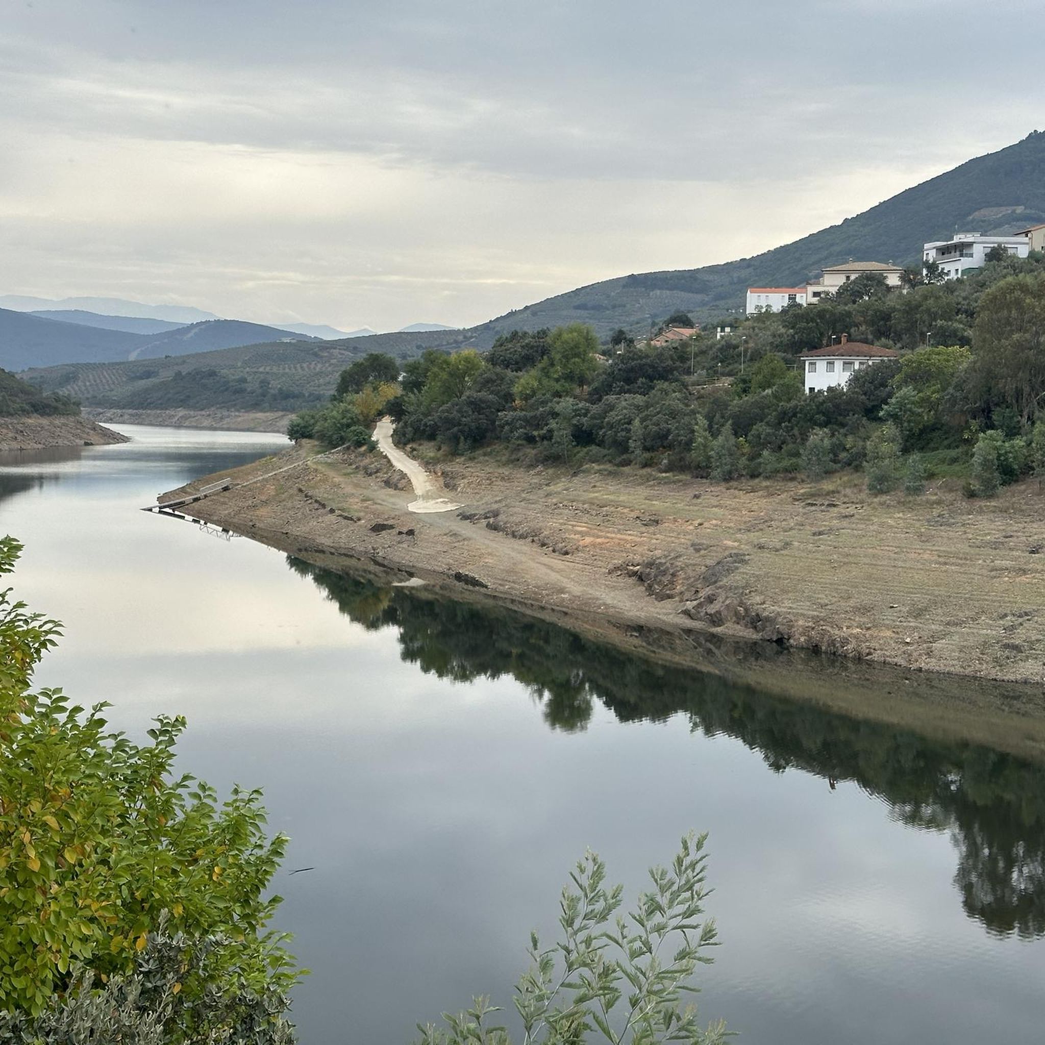
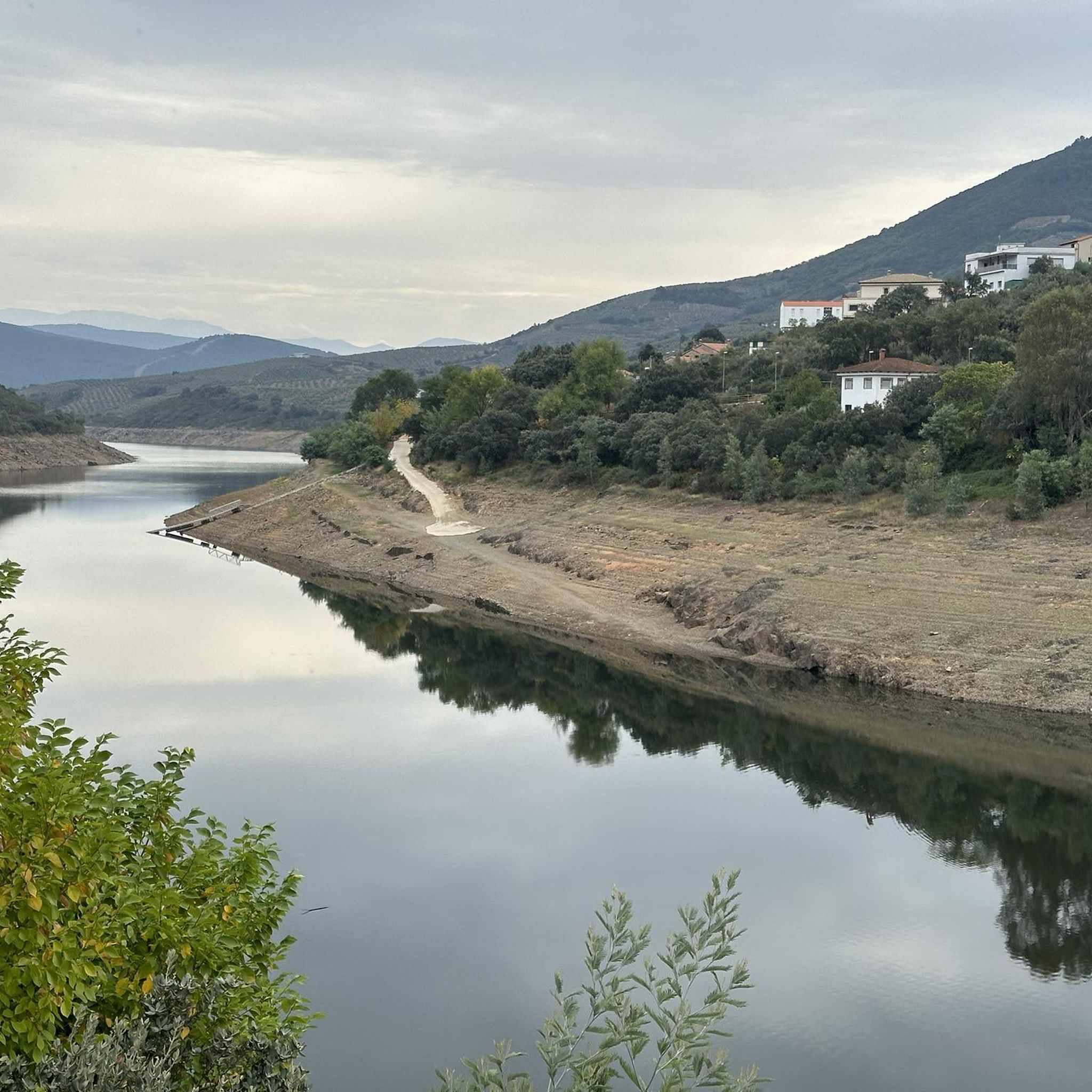
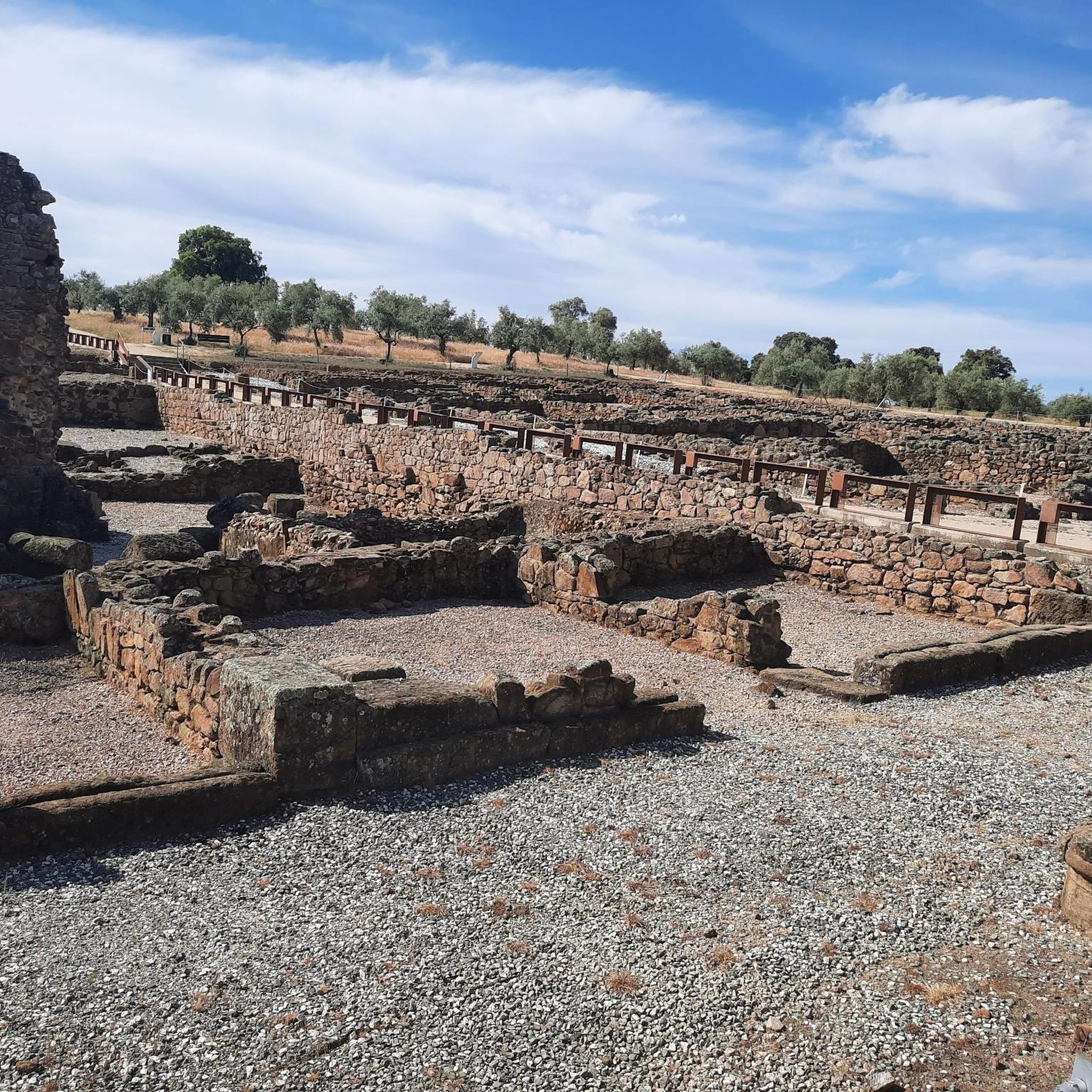
Tips from the Community

At the village's social meeting point, the Plaza Mayor with its arcades, stands a beautiful granite pilgrim's cross.
11
0
Beautiful top with views and a restaurant run by modern monks.
0
0
Beautiful view here, now the last stretch to the top with 200 altitude meters to go.
0
0

The Soto Bridge, also known as the Roman Bridge of Sotoserrano, is a historic stone structure that spans the Alagón River in the Las Batuecas-Sierra de Francia Natural Park. It is located in the town of Sotoserrano, famous for being at the confluence of three rivers: the Alagón, the Francia, and the Cuerpo de Hombre. The bridge is one of the town's symbols and a key point on several hiking and cycling routes.
2
0
The Soto Bridge, also known as the Roman Bridge of Sotoserrano, is a historic stone structure that spans the Alagón River in the Las Batuecas-Sierra de Francia Natural Park. It is located in the town of Sotoserrano, famous for being at the confluence of three rivers: the Alagón, the Francia, and the Cuerpo de Hombre. The bridge is one of the town's symbols and a key point on several hiking and cycling routes.
1
0

This is the Wolves Pass, the end of the climb to Peña de Francia (Granite Throne) ;)
0
0

View of the vast Sierra de Francia. Countless church trees grow in the area around Madronal.
0
0

A beautiful place in the old town! There are bars where you can take a break.
1
1
Frequently Asked Questions
What kind of terrain can I expect on touring cycling routes around Caminomorisco?
The touring cycling routes around Caminomorisco feature diverse landscapes, including undulating hills, mountains, and river valleys. You'll encounter Mediterranean forests of oak, cork oak, and holm oak, with some routes offering significant elevation gains. The region's topography is shaped by rivers like the Alagón, which have carved impressive formations.
Are there touring cycling routes suitable for beginners in Caminomorisco?
While many routes in Caminomorisco are rated as moderate to difficult due to significant elevation changes, there are options for varying skill levels. For example, the Meandro Melero - circular from Sotoserrano is a moderate 27.3 km route that offers stunning views without extreme difficulty.
How many touring cycling routes are available in the Caminomorisco area?
There are over 20 touring cycling routes available around Caminomorisco, offering a wide range of experiences. These routes are highly rated by the komoot community, with an average score of 4.5 stars from over 9 reviews.
What natural features or viewpoints can I discover while cycling in Caminomorisco?
Cyclists can enjoy several impressive natural features and viewpoints. The iconic View of Meandro del Melero offers spectacular panoramic views of the Alagón River's meander. Other notable spots include the Mirador Pico Blanco in La Pesga, providing extensive views of Las Hurdes and the Gabriel y Galán reservoir, and the Soto Bridge - Alagón River.
Are there any waterfalls or natural pools accessible from the cycling routes?
Yes, the region boasts natural water features. The impressive Chorreón del Tajo waterfall is a significant natural attraction. Additionally, Caminomorisco features a natural swimming pool in the Alavea River, offering a refreshing spot during warmer months. You might also encounter the Chorro de la Meancera waterfall.
When is the best time of year to go touring cycling in Caminomorisco?
The Las Hurdes region, including Caminomorisco, experiences a Mediterranean climate. Spring and autumn generally offer the most pleasant temperatures for touring cycling, avoiding the intense heat of summer and the cooler, potentially wetter conditions of winter. These seasons also showcase the region's diverse flora at its best.
Are there circular touring cycling routes available in Caminomorisco?
Yes, several circular routes are available, allowing you to start and end your ride in the same location. Examples include the moderate Meandro Melero - circular from Sotoserrano and the more challenging Mohedas de Granadilla from Pinofranqueado – circular via Casar de Palomero and the río Los Angeles.
What do other touring cyclists enjoy most about cycling in Caminomorisco?
The komoot community rates the touring cycling routes in Caminomorisco highly, with an average score of 4.5 stars. Cyclists often praise the region's diverse landscapes, from river meanders to mixed forests, and the challenging yet rewarding routes with significant elevation gains. The opportunity to explore tranquil natural settings and scenic roads is also frequently highlighted.
Are there any family-friendly cycling options in the Caminomorisco area?
While many routes feature significant elevation, the region offers varied terrain. For families, look for routes with less elevation gain or consider exploring sections of trails that are flatter. The accessibility of the Mirador de la Antigua, for instance, suggests some areas are designed for easier access, which might translate to suitable cycling paths nearby.
Can I find places to eat or stay near the cycling routes in Caminomorisco?
Caminomorisco and the surrounding alquerías (small villages) in Las Hurdes offer amenities for visitors. You can find local cafes and restaurants in towns like Caminomorisco itself or nearby Pinofranqueado. Accommodation options, including rural guesthouses, are also available, catering to those exploring the region's outdoor activities.
What kind of flora and fauna can I expect to see while cycling?
The region is rich in biodiversity, characterized by well-preserved mixed forests of oak, cork oak, holm oak, and gall oak. Along the rivers, you'll find strawberry trees, junipers, and alders. This diverse flora supports a variety of fauna, including otters, black storks, and even the elusive Iberian lynx. Birdwatchers can also spot birds of prey from various viewpoints.
Are there any particularly challenging touring cycling routes in the area?
Yes, for experienced touring cyclists seeking a challenge, Caminomorisco offers several difficult routes with substantial elevation gains. An example is the Peña de Francia – Riomalo Natural Pool loop from Herguijuela de la Sierra, an 83.8 km route with nearly 2,000 meters of elevation gain, often taking over 6 hours to complete.
Most popular attractions around Caminomorisco

Get inspired with the komoot mobile app


Explore more
Browse the best Cycling routes in other regions.
