The best MTB trails around Caminomorisco
4.4
(20)
306
riders
15
rides
Mountain biking around Caminomorisco offers diverse experiences within the rugged Las Hurdes region of Cáceres, Extremadura. The area features wild topography, crystal-clear rivers, and a network of trails. Riders can expect varied routes including forest tracks, singletrack, technical sections, and rocky terrains. The landscape is characterized by significant elevation changes, providing challenging descents and climbs.
Best mountain bike trails around Caminomorisco
- The most popular mountain bike trail is Views of the Sierra de Francia – Collada de la Genera loop…
Last updated: June 27, 2026
33
riders
56.1km
05:30
1,410m
1,410m
Hard mountain bike ride. Very good fitness required. Suitable for all skill levels.
5.0
(2)
21
riders
35.9km
02:44
640m
640m
Moderate mountain bike ride. Good fitness required. Suitable for all skill levels.

Sign up for free
25
riders
69.5km
07:27
1,990m
1,990m
Hard mountain bike ride. Very good fitness required. Suitable for all skill levels.
25
riders
78.0km
07:00
1,870m
1,870m
Hard mountain bike ride. Very good fitness required. Suitable for all skill levels.
5.0
(1)
11
riders
55.1km
04:54
1,360m
1,360m
Hard mountain bike ride. Very good fitness required. Suitable for all skill levels.
Get access to more routes and recommendations from other explorers.
Sign up for free
Already have an account?
Our route recommendations are based on thousands of hikes, rides, and runs completed by other people on komoot.
Start today with a free account
Your next adventure awaits.
Login or Signup
Tips from the Community

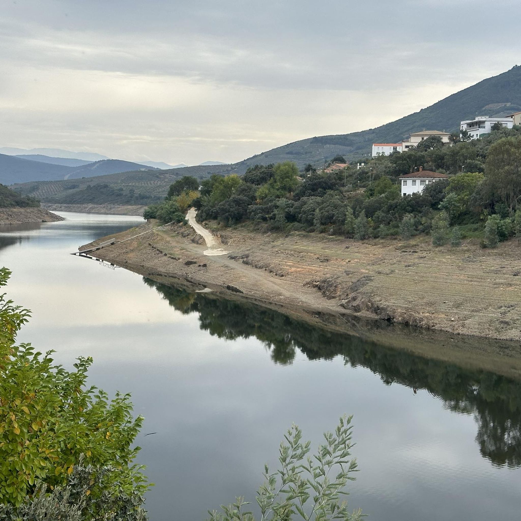
The Las Hurdes natural pools are a true paradise for those who enjoy bathing in natural surroundings. The Cruce de Avellanar Natural Pool is located on the CC-156 road that leads to Horcajo and Castillo, near the turnoff to Avellanar. This pool is distinguished by its serene location next to the Esperabán River, offering a refreshing escape in the crystal-clear waters of the river. The area around the pool has plenty of shade thanks to the surrounding vegetation and does not have a beach bar.
0
0
The Esperabán pass is a mountain pass in the interior of the Iberian Peninsula, located in the Central System. The route that crosses it connects the Spanish provinces of Cáceres and Salamanca. This pass, which divides the provinces of Cáceres and Salamanca, is located at an altitude of 1,295 m. Access to the pass is paved and in good condition. The pass runs along the road that connects the town of Pinofranqueado with the farmhouses located on the banks of the Esperabán River. The last 7 km, with an average gradient of 8%, run along a perfectly paved forest track that was once used for transporting wood. The end of the asphalt, at 1,285 m above sea level, is just a few meters from the summit that gives the pass its name. We can climb to the highest point with MTB or gravel without problems.
0
0
Panoramic track in very good condition and very rolling that runs through the mountains of the Esperabán valley.
0
0
A hill that serves as a connection, together with the Riscosillo Pass, with the northern slope of the Sierra de las Hurdes.
0
0
Hill where the Pimpollar trail begins and from which you can descend to the northern slope of the mountain range.
0
0
From several points on this track you will have unique views of the mountains of the Sierra de Francia, in the province of Salamanca in Castilla y León, you can even see the Peña de Francia.
0
0
A very tough climb from Cambrón to Collada de la Genera. Several kilometres with gradients between 12% and 16%. The views as you climb are spectacular and up on the ridge you can see the Sierra de Francia.
0
0

Pinofranqueado is a municipality in the Las Hurdes region, in the province of Cáceres, Community of Extremadura. It is famous for a festival called La Enramá, in which young men and women from the town temporarily pair up to facilitate future courtships. Pinofraqueado is made up of a main nucleus and ten farmhouses. The farmhouses arose from the houses built by the shepherds of the area.
1
0
Frequently Asked Questions
What kind of terrain can I expect on mountain bike trails around Caminomorisco?
The mountain bike trails around Caminomorisco, located in the rugged Las Hurdes region, feature wild topography, crystal-clear rivers, and extensive forests. Riders can expect a diverse mix of forest tracks, challenging singletrack, technical sections, and rocky terrains. The area is known for significant elevation changes, offering both demanding climbs and exhilarating descents.
Are there any easy mountain bike trails suitable for beginners in Caminomorisco?
While many routes in the Caminomorisco area are rated difficult, there is at least one easy mountain bike trail available. The region offers a variety of options, so it's advisable to check individual route descriptions on komoot for specific difficulty ratings to find a trail that matches your skill level.
Can I find mountain bike routes that offer panoramic views or pass by natural landmarks?
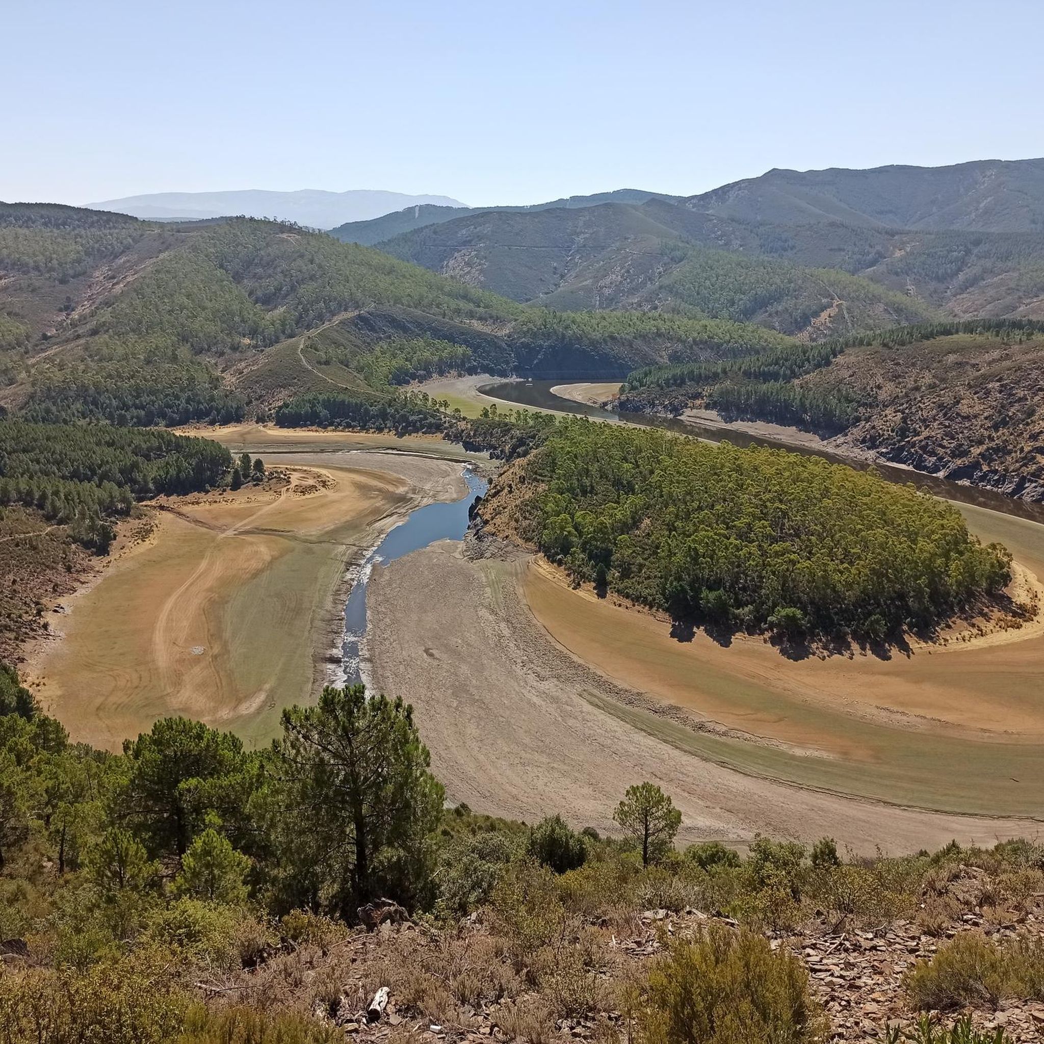
Absolutely. The region is rich in natural beauty and viewpoints. For example, the route Views of the Sierra de Francia – Collada de la Genera loop from Casar de Palomero offers extensive vistas across the Sierra de Francia. You can also explore iconic natural landmarks such as the Meandro del Melero, a dramatic river meander, or visit the Portillo Viewpoint for stunning panoramas of the northern Las Hurdes area.
Are there any family-friendly mountain bike trails in the Caminomorisco area?
While many trails in Caminomorisco are geared towards experienced riders due to their technical nature and significant elevation changes, there are some routes suitable for families. It's recommended to look for trails specifically marked as 'easy' or 'moderate' on komoot and review their descriptions and elevation profiles to ensure they align with your family's abilities. The region's diverse network means there are options for various skill levels.
What is the best time of year for mountain biking in Caminomorisco?
The Las Hurdes region, where Caminomorisco is located, offers good conditions for mountain biking for much of the year. Spring and autumn generally provide the most pleasant temperatures for riding. Summers can be hot, especially in July and August, while winters are milder but can bring some rain. Checking the local weather forecast before your trip is always recommended.
Are there any circular mountain bike routes around Caminomorisco?
Yes, many of the mountain bike routes around Caminomorisco are designed as loops, allowing you to start and finish at the same point. Examples include the challenging Collado de Riscosillo – Collada de la Genera loop from Casar de Palomero, which navigates through wild terrain, or the Castillo Natural Pool – Pinofranqueado Town Center loop from Caminomorisco, which takes you through varied landscapes.
What do other mountain bikers enjoy most about the trails in Caminomorisco?
The mountain bike trails around Caminomorisco are highly rated by the komoot community, with an average score of 4.4 stars from over 10 reviews. Riders frequently praise the wild and rugged terrain, the challenging ascents and descents, and the diverse landscapes that include crystal-clear rivers and extensive forests. The technical sections and long-distance routes are particularly appreciated by experienced mountain bikers.
Are there any specific attractions or points of interest I can visit near the mountain bike trails?
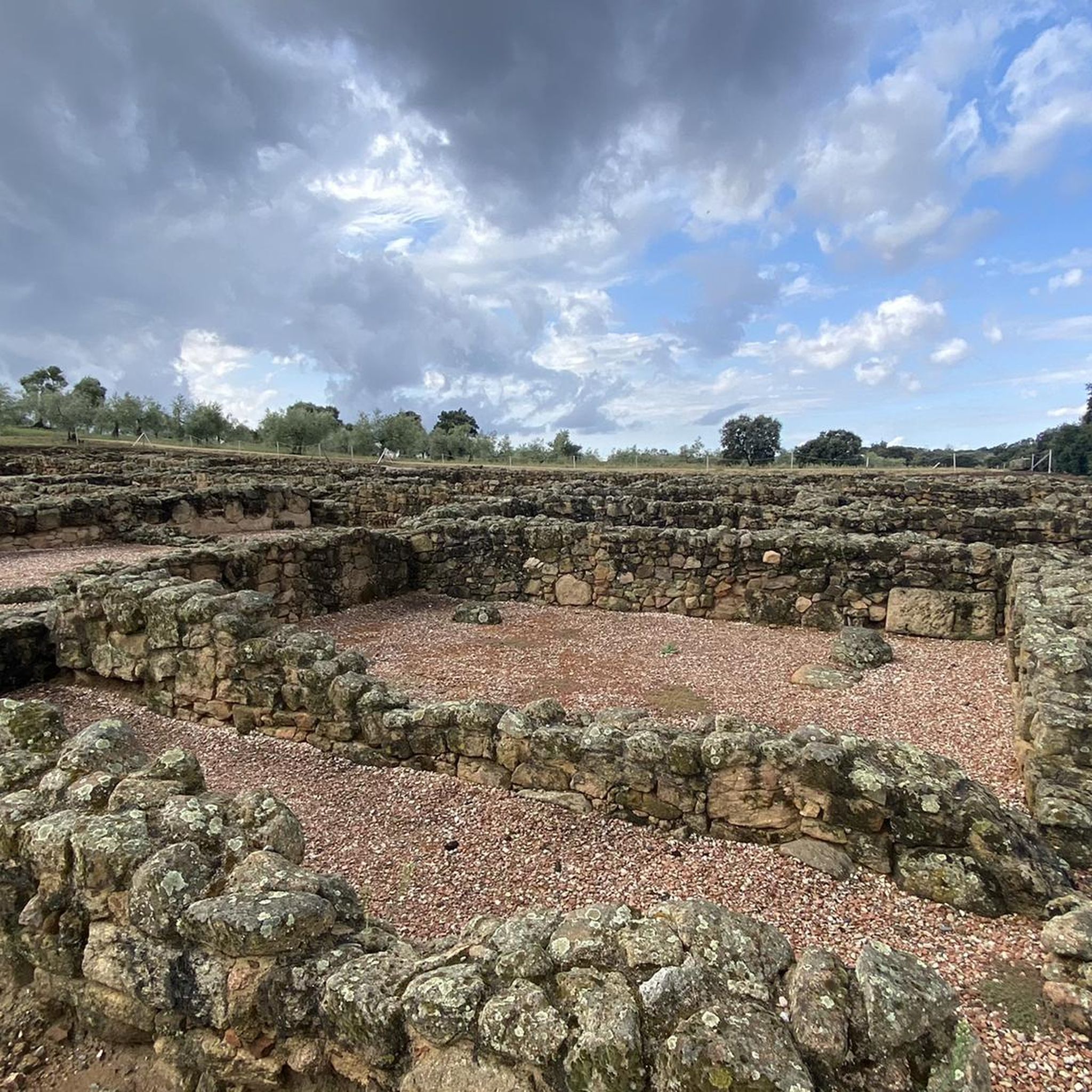
Beyond the trails, the Caminomorisco area offers several points of interest. You can visit the Mogarraz or the Old Town of La Alberca for cultural insights. Nature lovers might enjoy the Water Trail or the Pantano de las Tapias reservoir. The region also features historical intrigue with ancient Iberian petroglyphs and Roman remains.
How many mountain bike trails are available in the Caminomorisco area?
There are over a dozen mountain bike trails available around Caminomorisco, offering a range of experiences. The majority of these routes are rated as difficult, providing significant challenges for experienced riders, but there are also moderate and easy options to explore.
Are there any mountain bike routes that pass by natural pools or rivers?
Yes, the region is known for its crystal-clear rivers and natural pools. The Castillo Natural Pool – Pinofranqueado Town Center loop from Caminomorisco is one such route that leads through varied landscapes, including natural pools and forest sections, offering opportunities to enjoy the refreshing waters of the Las Hurdes region.
What is the typical elevation gain on mountain bike trails in Caminomorisco?
Mountain bike trails around Caminomorisco often feature significant elevation changes. For instance, routes like the Collada de la Genera – Views of the Sierra de Francia loop from Caminomorisco can involve over 2,100 meters of ascent, providing a substantial workout and rewarding descents. Even shorter routes typically include several hundred meters of climbing.
Most popular attractions around Caminomorisco

Get inspired with the komoot mobile app


Explore more
Browse the best MTB trails in other regions.
