The best mountain hikes around Hermigua
4.8
(21)
92
hikers
20
hikes
Mountaineering routes around Hermigua traverse a landscape shaped by ancient laurisilva forests, dramatic volcanic formations, and deep ravines on the island of La Gomera. The region is characterized by significant elevation changes, with trails often navigating steep ascents and descents through varied terrain. Volcanic plugs like Roque Cano and Roque de Agando stand as prominent features, offering challenging objectives for experienced mountaineers.
Best mountaineering routes around Hermigua
- The most popular mountaineering route is Roque Argando loop from La Gomera,…
Last updated: August 25, 2026
5.0
(2)
9
hikers
9.26km
03:46
630m
630m
Moderate mountaineering route. Good fitness required. Mostly accessible paths. Sure-footedness required.
5.0
(2)
9
hikers
Moderate mountaineering route. Good fitness required. Mostly accessible paths. Sure-footedness required.

Sign up for free
5.0
(3)
14
hikers
14.7km
04:58
610m
610m
Hard mountaineering route. Good fitness required. Sure-footedness, sturdy shoes and alpine experience required.
5.0
(3)
8
hikers
4.54km
01:41
190m
190m
Hard mountaineering route. Great for any fitness level. Sure-footedness, sturdy shoes and alpine experience required.
4.3
(3)
7
hikers
6.48km
02:57
500m
500m
Moderate mountaineering route. Good fitness required. Mostly accessible paths. Sure-footedness required.
Get access to more routes and recommendations from other explorers.
Sign up for free
Already have an account?
Our route recommendations are based on thousands of hikes, rides, and runs completed by other people on komoot.
Start today with a free account
Your next adventure awaits.
Login or Signup
Other adventures around Hermigua

Tips from the Community

La Fortaleza de Chipude is a huge volcanic formation located in the west-central part of La Gomera and one of the most impressive and symbolic places on the entire island. Its silhouette stands out from many points because it has a very flat and elevated summit, almost like a gigantic rock table emerging above the ravines. Although many people think it could be a complete volcano, it is actually an ancient volcanic dome and one of the great geological monuments of La Gomera. In addition to its scenic importance, La Fortaleza had enormous historical and spiritual value for the ancient inhabitants of La Gomera before the Castilian conquest. It is believed to have been used as a ceremonial site and natural refuge due to its dominant position and difficult access. Even today, it retains a certain mysterious and isolated atmosphere, especially when fog surrounds the upper part. From the top, the views are spectacular, with deep ravines in all directions and enormous panoramas over a large part of the island. The final ascent is usually done on foot and is well worth the effort. Seen from afar, its flat and abrupt shape almost resembles an impossible mountain placed in the middle of the volcanic landscape of La Gomera.
1
0

Along the way you will encounter different types of soil. Very varied.
0
0

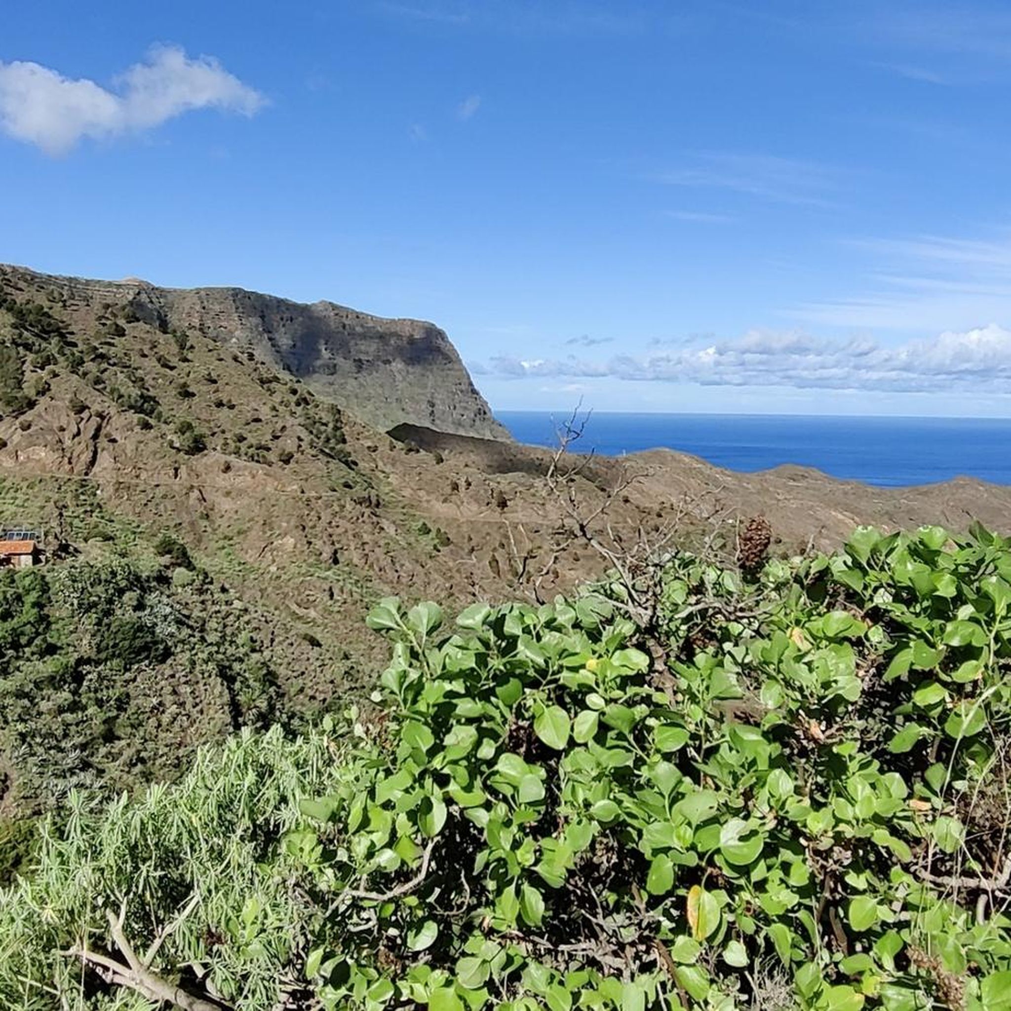
A beautiful photo opportunity at a "lost place"—it's always surprising how a house was built here in the middle of nowhere (okay, there must have been water). This gives you an idea of how arduous life used to be (but perhaps happier in nature).
0
0
A nice place to take a break, with a great view.
0
0

A glass skywalk above a 600-meter-high wall. View of Agulo like a miniature village, plus the Atlantic Ocean and Teide panorama.
2
0

Agulo – the charming northeastern village of La Gomera The village of Agulo is located on the north coast of La Gomera, at an altitude of approximately 400–500 meters. It is one of the island's best-preserved traditional villages, with narrow cobbled streets, colorful houses, and ocean views. What to see and do Walks: Agulo is an excellent starting point for hikes into the surrounding hills, through valleys, and along red-earth terraced paths. Routes range from short walks to day hikes into the laurel forests of Garajonay National Park. Viewpoints: Visit the Mirador de Abrante for panoramic views of the village, the coast, and the green valleys. Local culture: Discover small craft shops, traditional farms, and terraces where you can sample local products such as honey, cheese, and wine.
0
1
Frequently Asked Questions
How many mountaineering routes can I explore around Hermigua?
You'll find over 25 mountaineering routes around Hermigua, offering a diverse range of experiences. These routes are highly rated by the komoot community, with an average score of 4.8 stars.
What kind of terrain and natural features will I encounter on these routes?
Mountaineering routes around Hermigua traverse a dramatic landscape shaped by ancient laurisilva forests, deep ravines (barrancos), and striking volcanic formations. You'll encounter prominent features like Roque Cano and Roque de Agando, which are iconic landmarks of the region. Many trails involve significant elevation changes, with steep ascents and descents.
Are there any circular mountaineering routes in Hermigua?
Yes, many of the mountaineering routes around Hermigua are circular, allowing you to start and end in the same location. For example, the Roque Argando loop from La Gomera is a popular moderate option, as is the Roque Argando loop from La Laja, both offering extensive views of the volcanic landscape.
What are some notable landmarks or viewpoints I can visit along the mountaineering trails?
The region is rich in natural landmarks. You can hike to the impressive volcanic plugs of Roque Cano and Roque de Agando. For a unique experience, consider a route that leads to the View of Abrante Cliff – Mirador de Abrante loop from Agulo, which takes you to a contemporary glass viewpoint offering incredible panoramic views over the Agulo ravine. The Three Islands Viewpoint is another excellent spot for expansive vistas.
Are there any routes suitable for beginners or those looking for an easier mountaineering experience?
While many routes involve significant elevation changes, there is one easy mountaineering route available. The majority of the routes, about 16 of them, are classified as moderate, providing a good balance for those with some hiking experience. For example, the Roque Argando loop from Degollada de Peraza is a moderate option with rewarding views.
Can I find any waterfalls near the mountaineering routes in Hermigua?
Yes, the area around Hermigua, particularly within the Garajonay National Park, is known for its lush environment. You can explore highlights such as the Arure Waterfall or the Waterfall in Barranco de Arure. Some trails, like the Waterfall Trail, specifically lead to these natural features.
What is the best time of year for mountaineering in Hermigua?
La Gomera generally enjoys a mild climate year-round. However, the laurisilva forests within Garajonay National Park can be misty, especially at higher elevations. For the most comfortable conditions and clearer views, the spring and autumn months are often ideal, avoiding the peak heat of summer and potential winter rains. Always check the local weather forecast before heading out.
Are there any challenging routes for experienced mountaineers?
Absolutely. Hermigua offers 9 difficult mountaineering routes for those seeking a greater challenge. These routes often involve more significant elevation gains and descents, navigating the island's dramatic 'spiky' valleys and volcanic peaks. The terrain can be demanding, requiring good physical condition and sure-footedness.
What do other komoot users say about mountaineering in Hermigua?
The mountaineering routes around Hermigua are highly regarded by the komoot community, boasting an impressive average rating of 4.8 stars from over 30 reviews. Users frequently praise the unique experience of hiking through ancient laurisilva forests, the dramatic volcanic scenery, and the rewarding panoramic views from various viewpoints.
Are there any routes that offer a mix of forest and volcanic landscapes?
Many routes in Hermigua provide a fantastic transition between different ecosystems. You can start in the misty laurisilva forests of Garajonay National Park and then emerge to views of the more arid, volcanic landscapes, including features like Roque Cano and Roque de Agando. The Mountaineering loop from Imada, for instance, offers a diverse experience through varied terrain.
Is public transport available to reach trailheads in Hermigua?
La Gomera has a public bus network (GuaguaGomera) that connects various towns and villages, including Hermigua. While some trailheads might be directly accessible by bus, others may require a short walk or taxi ride from the nearest bus stop. It's advisable to check the current bus schedules and route maps in advance to plan your access to specific starting points.
Most popular attractions around Hermigua

Get inspired with the komoot mobile app


Explore more
Browse the best Mountain Hikes & Routes in other regions.
